We started on the trail and I have to say, I don't know how I lived without micro spikes before! They made such a huge difference in traction and comfort. There was probably a foot of snow around the trail head area and once on the trail it was about 6 inches deep in some places, with some bare trail as well. There was lots of ice on the trees and plants, which made for some fun pictures.
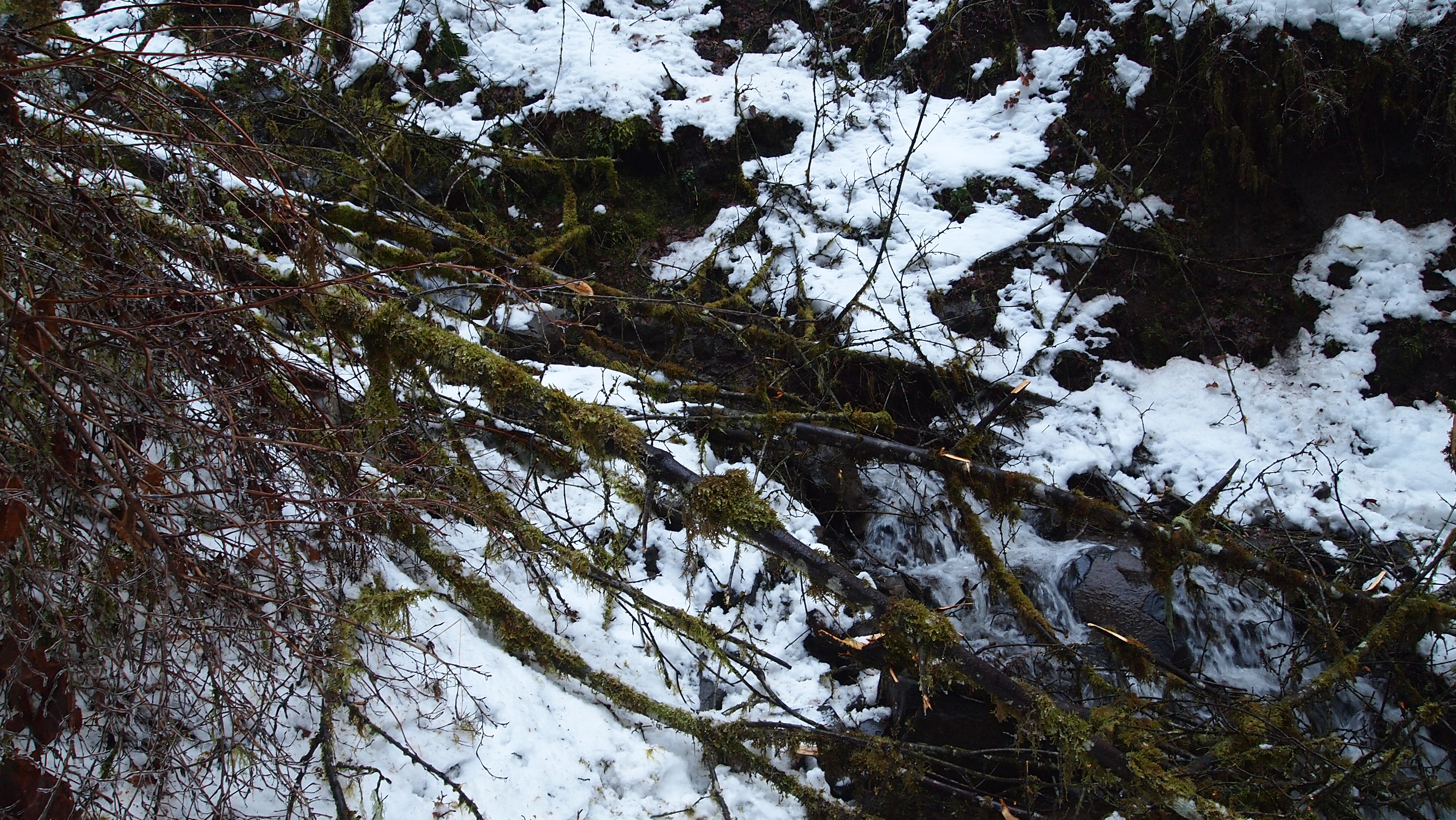
We encountered a lot of blow down (or ice down, as the case may be) but managed to get around most of it. Finally, it was a waterfall blocking the trail (just before Punchbowl Falls)which finally made us turn around. There just wasn't a good way behind or around it without getting really wet or being really dangerous.
So we turned around and went to Latourell Falls instead. We did the 2.3 mile loop and called it a day.
Complete photo album can be found here: https://plus.google.com/photos/10171477 ... 6Zzlg8O-RA
The beginning of Eagle Creek Trail
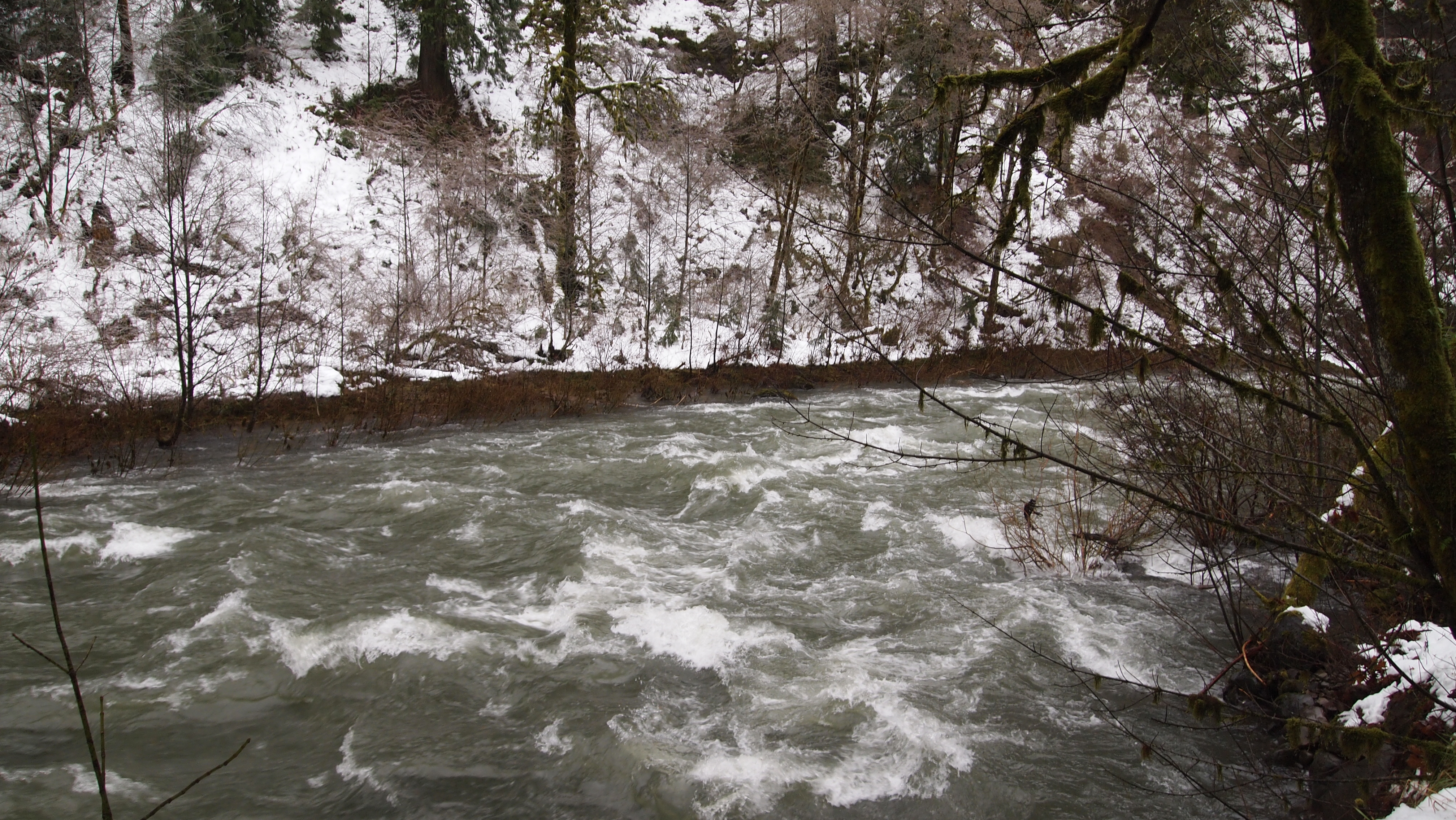
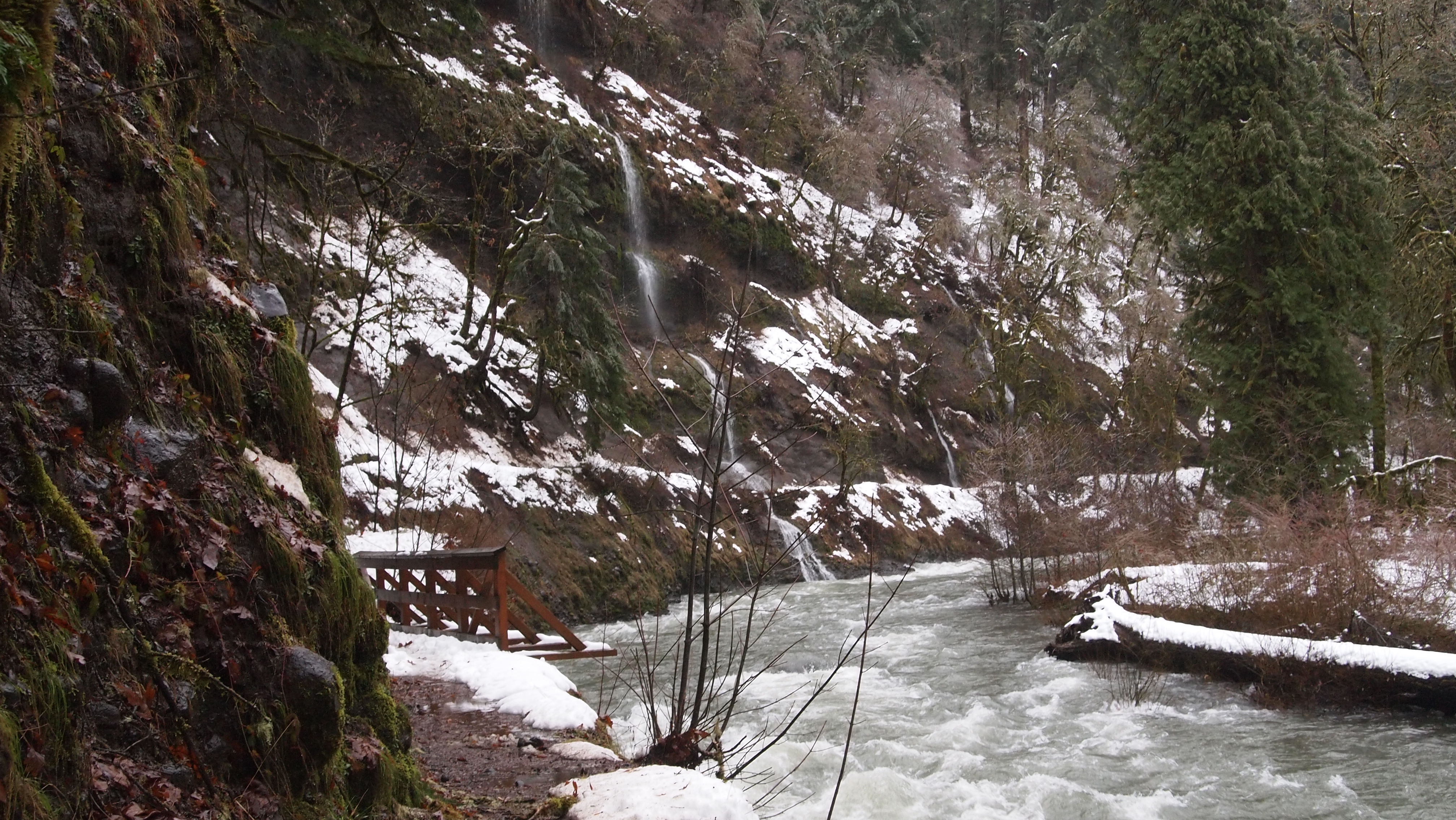
Eagle Creek
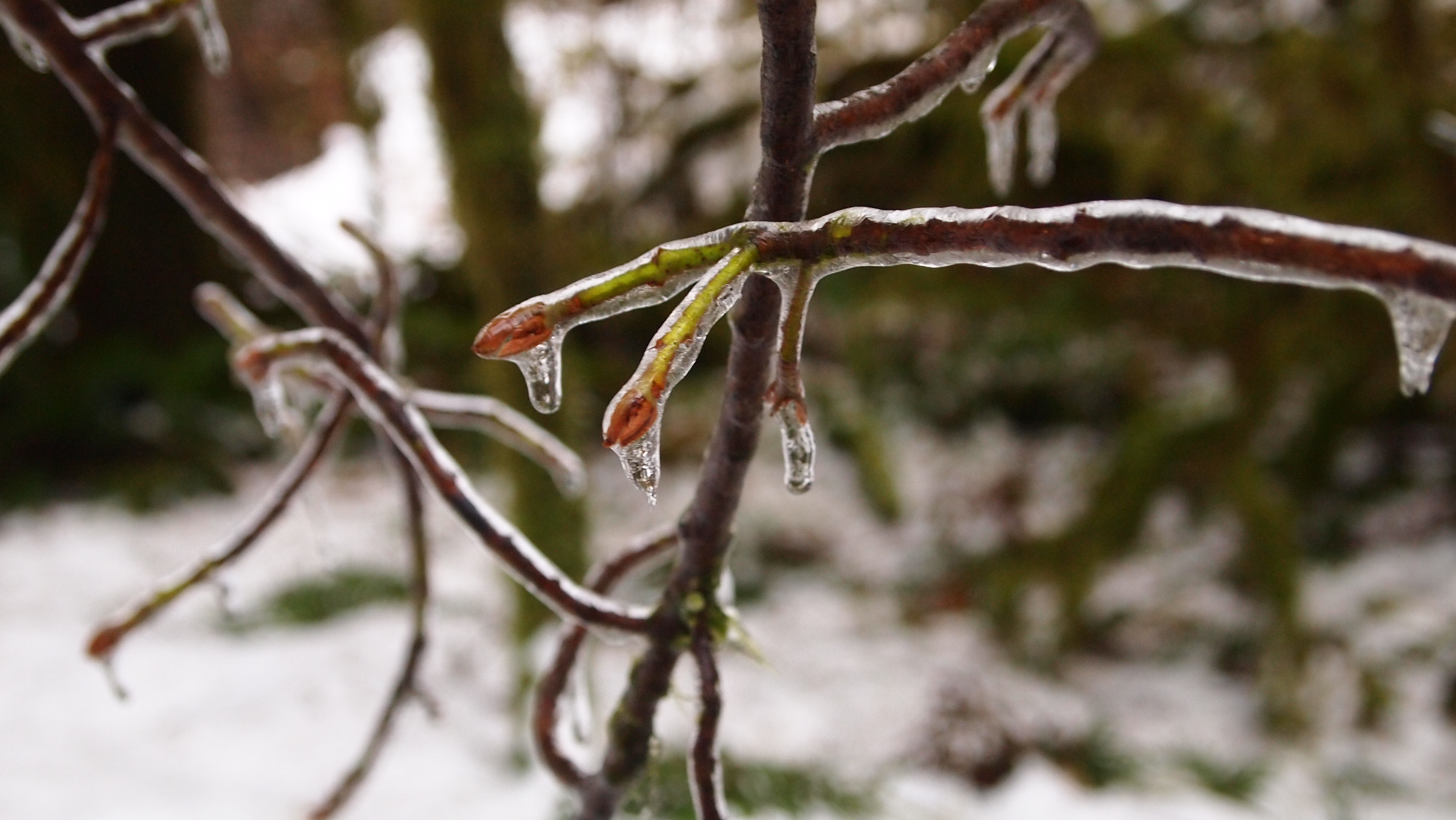
Ice on the trees
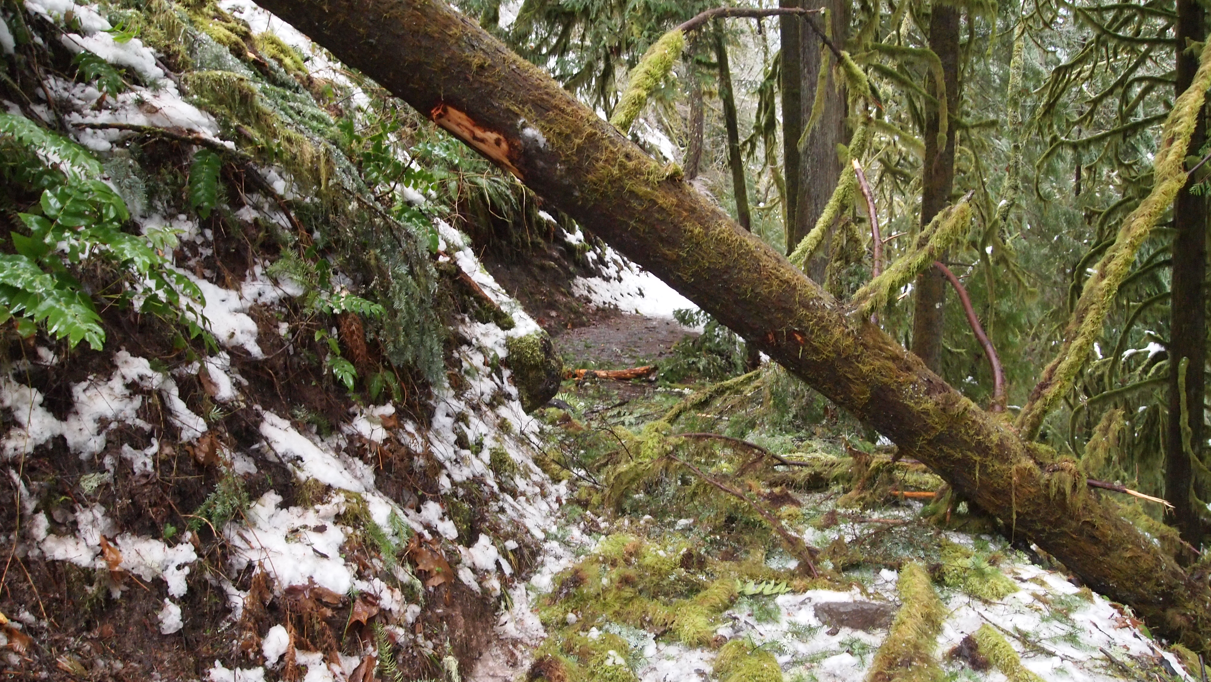
Blow down
More blowdown
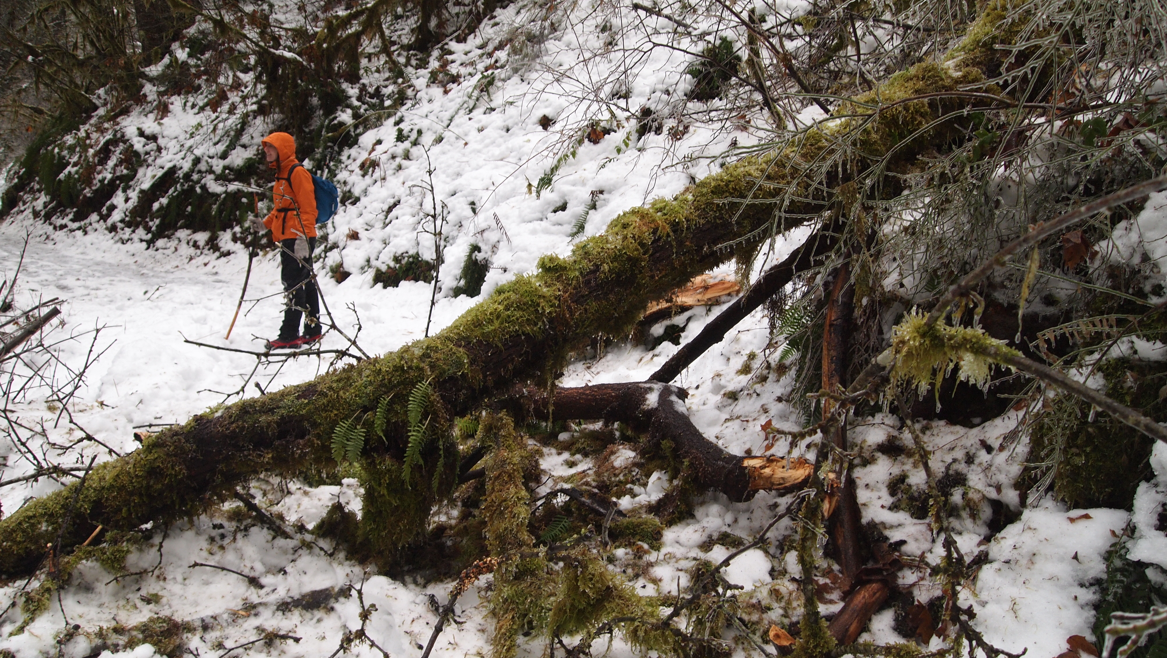
More trees on the trail
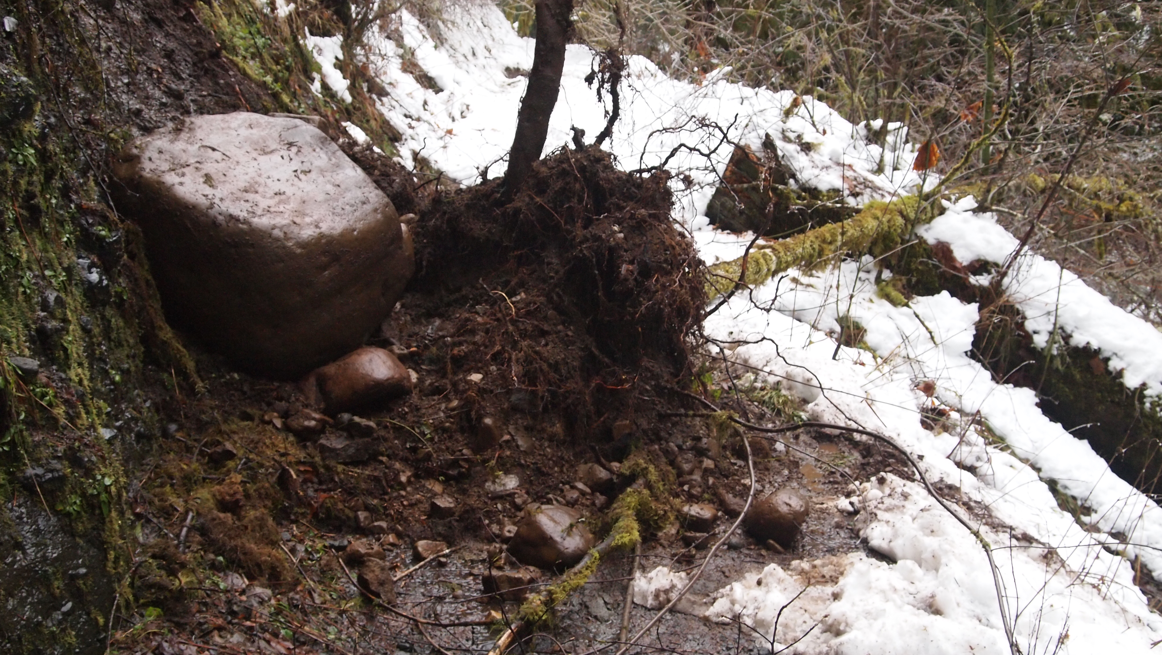
A boulder

