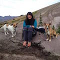
Nat [Bosterson] and I left Portland around 6:30am and set out from the Wallowa Lake trailhead around 1pm (after a brief stop for a huckleberry milkshake at Mad Mary's in Joseph and a breakfast burrito from the cafe across the street). The milkshake/burrito combo was a terrible pre-hike meal that I will never repeat. Being a hiking machine (and having eaten a more sensible lunch), we agreed that Nat should go ahead and he would wait for me at the creek crossing. He arrived at the junction with Ice Lake trail about 30 minutes ahead of me. We crossed the West Fork of the Wallowa River together and then he went ahead again. This time, he made it to Ice Lake about 90 minutes ahead of me. Had I given him the lighter with the stove, then dinner would have been ready upon my arrival. Alas, it turned out that dinner was not necessary as the milkshake/burrito combo was still abating my need to eat. We set up camp at an established site along the east shore of the lake. I was disappointed to see several spots where recent campfires had been made despite the sign stating they are prohibited. After enjoying the sunset, we retired for an early night after a long day's journey. Only saw one other group camping at the creek just before Ice Lake. And there were some resident deer who walked through our campsite.
Wednesday, 9/7/2011: Matterhorn & Sacajawea
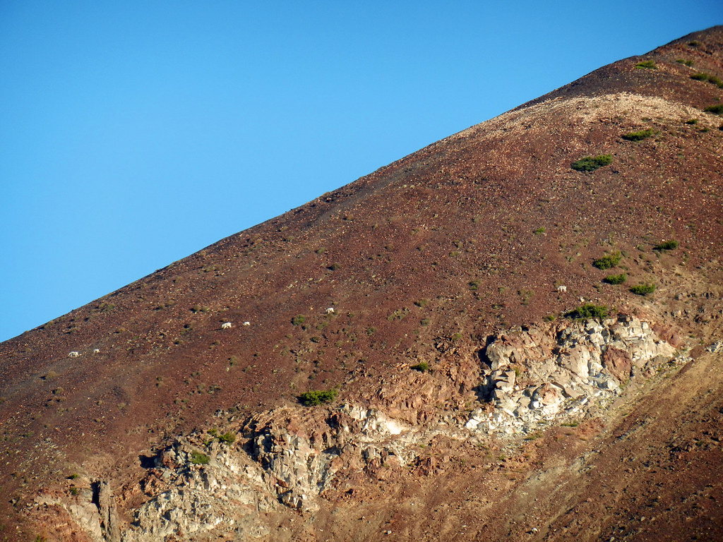
After a leisurely morning of eating breakfast and watching mountain goats, we headed up to the Matterhorn. Nat's time was around 90 minutes and mine was close to three hours. Keep in mind that I stopped for lots of breaks and picture-taking! Just as I was approaching the summit, frozen rain started to fall. It felt kind of refreshing until the wind picked up and then it was just cold. I checked in with Nat before he headed off to summit Sacajawea (he will have more to report on this part). Not feeling comfortable with scrambling around gendarmes and the ever-changing weather, I stuck around the Matterhorn's summit to enjoy the outstanding views of Hurricane Divide, Eagle Cap and the surrounding sea of peaks. After almost two hours at the summit, I started to make my way back down to Ice Lake...very, very slowly. Looking out for Nat along the ridgeline (apparently the wrong one) or boot-skiing down scree slopes, I saw no sign of him until nearing Ice Lake. He was already back at the campsite awaiting my return! Actually, he had been back for several hours and was starting to plan his search and rescue mission to find me. Fortunately he spotted me along the lakeshore and knew I had returned safely. That evening, a few more campers arrived. One group found a spot up on the slope above the creek. The other group, unfortunately, camped about 100 yds away from us. I say unfortunately because they ended up being quite loud until my ibuprofen PM kicked in around 11pm. The stars were plentiful and I wish we could have left off the rainfly, but overnight showers seemed like a definite possibility.
Thursday, 9/8/2011: the journey back...
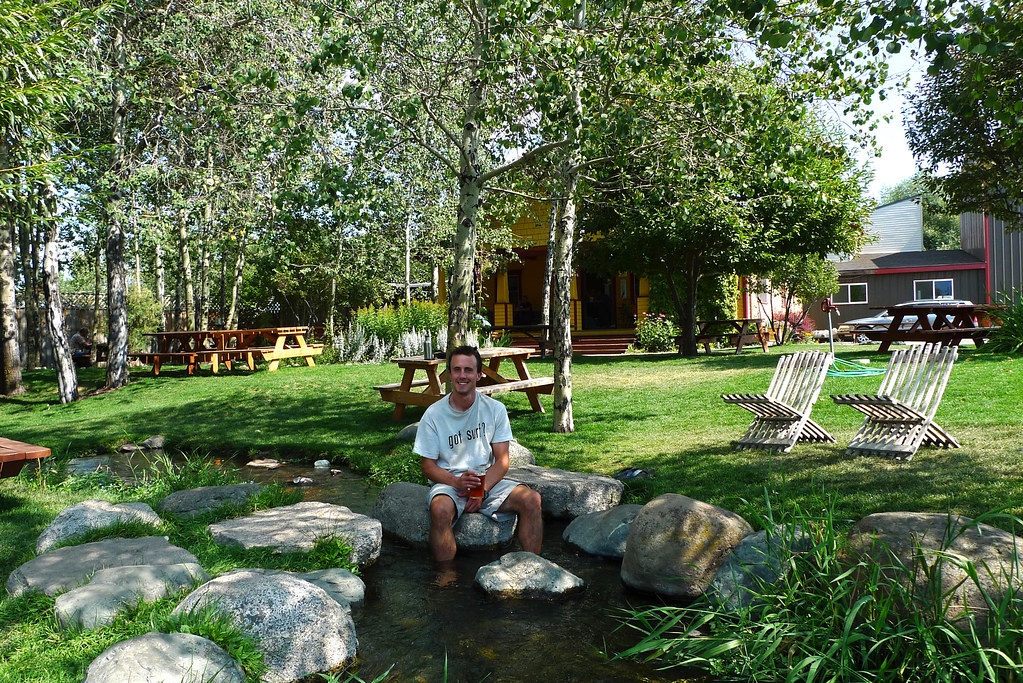
After breakfast and more goat-watching, we packed up and started the hike back down to Wallowa Lake. Passed a group of tourists on horseback, a few dayhikers, and one backpacker. This time Nat beat me to the river crossing by 40 minutes. However, I redeemed myself by arriving only 20 minutes after him back to the car - woohoo! We stopped in Enterprise for a victory beer at Terminal Gravity. I especially enjoyed soaking my blistered heel in the small creek by their house. Smoke obscured Mt. Hood views driving through the Gorge. Was back in Portland by 6:45pm. Another spectacular trip in the Wallowas...it never disappoints!
West Fork Wallowa Trail
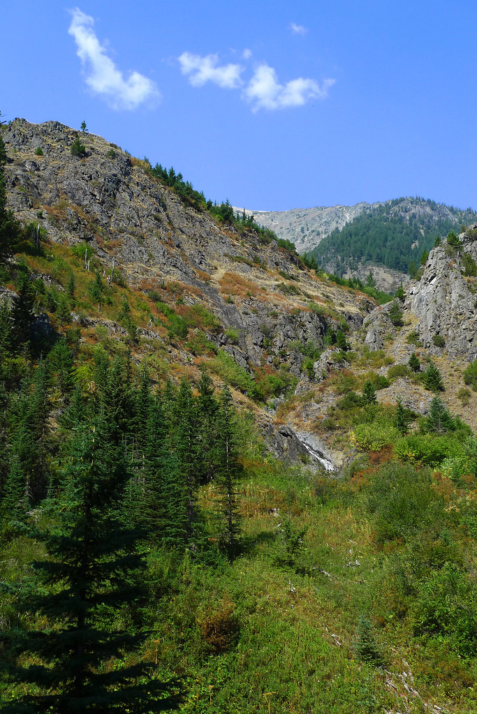
Ice Lake Trail
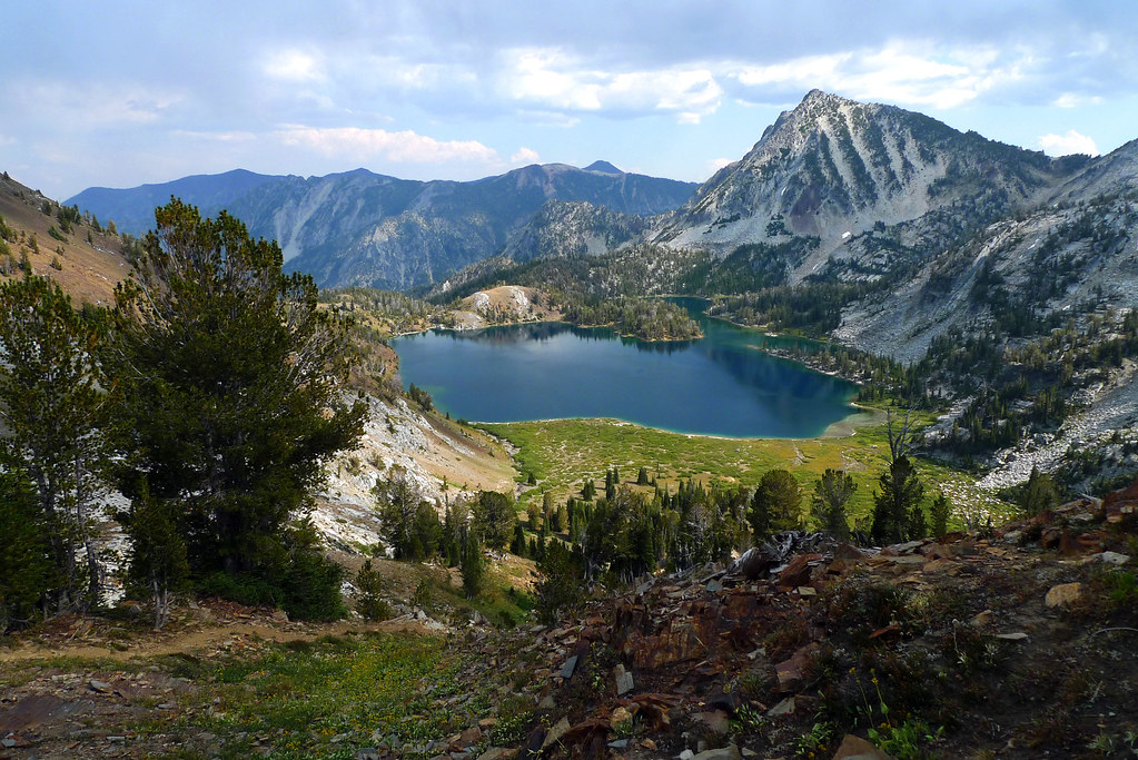
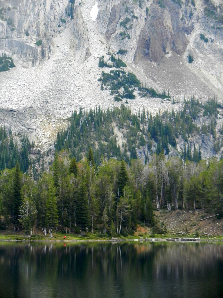
Ice Lake
mountain goats out for their morning walk
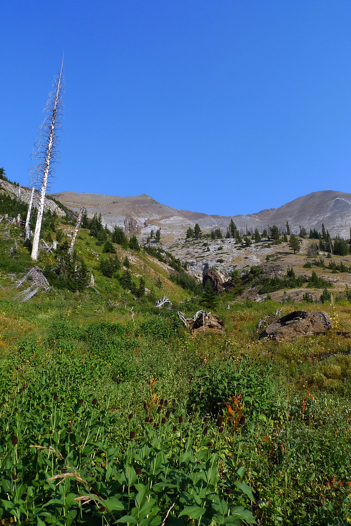
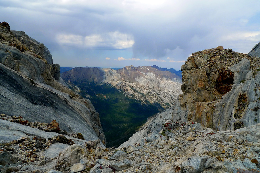
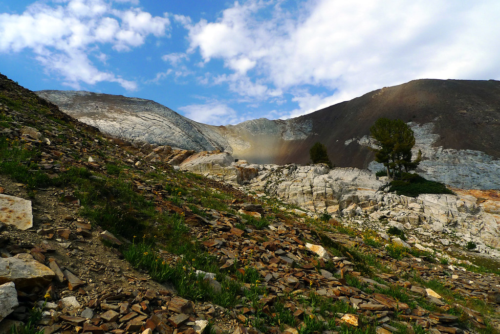
on the way up to Matterhorn
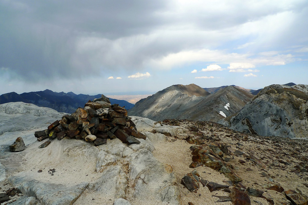
cairns
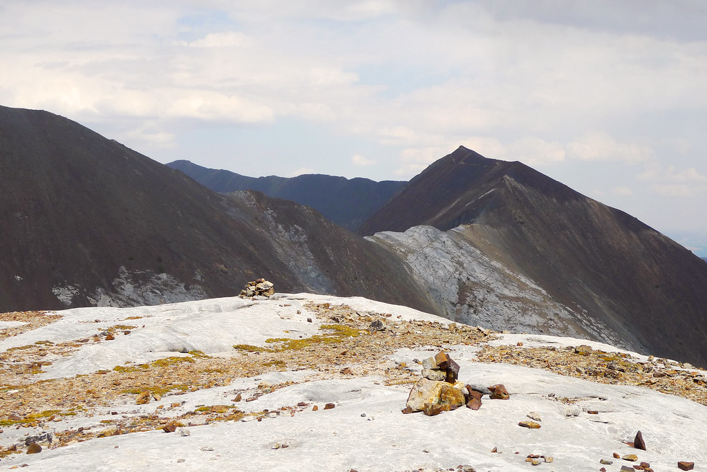
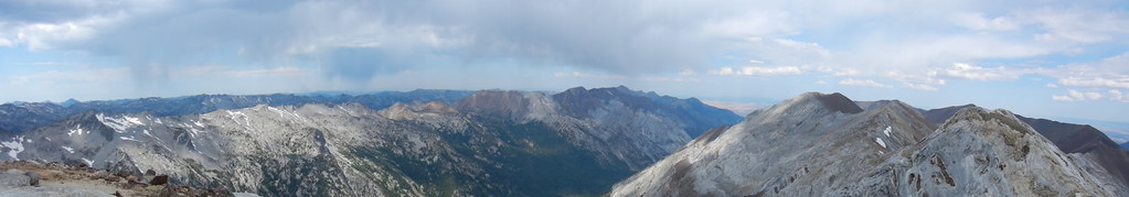
Hurricane Divide
Matterhorn summit
some cool sedum and lichen

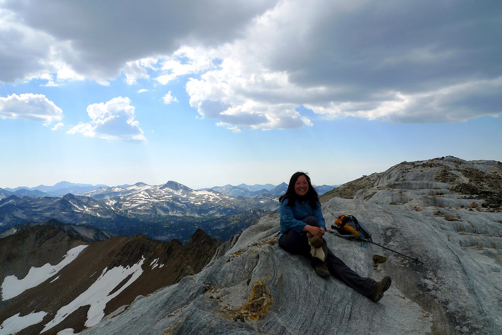
me with Eagle Cap in the background (note sunshine on other peaks but not Matterhorn!)
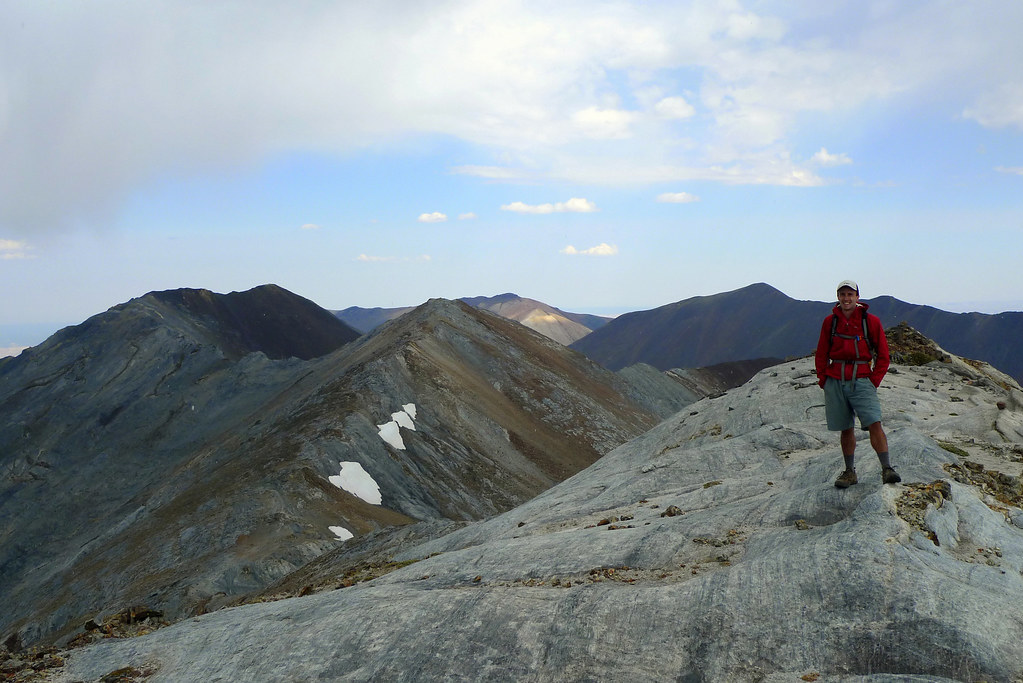
Nat heading off to summit Sacajawea
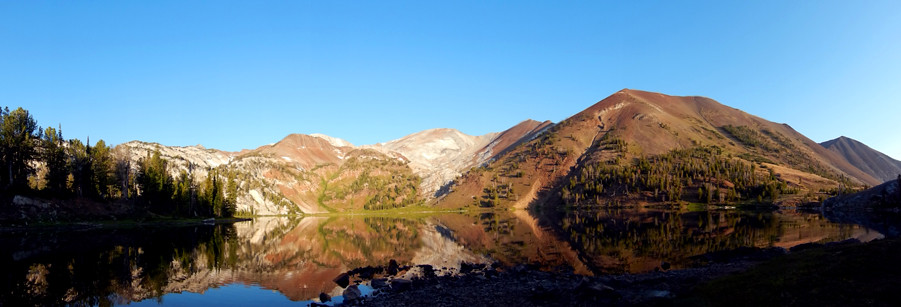
pano of Hurricane Divide and Sacajawea
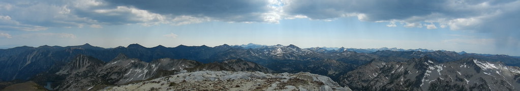
pano of Eagle Cap
making my way back down to Ice Lake
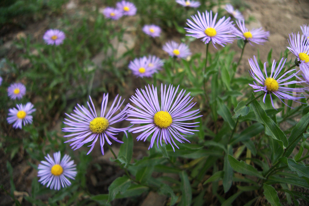
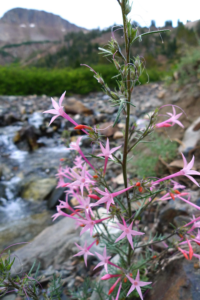
some very pink scarlet gilia
Nat waiting back at the campsite (look for red dot along the shoreline)
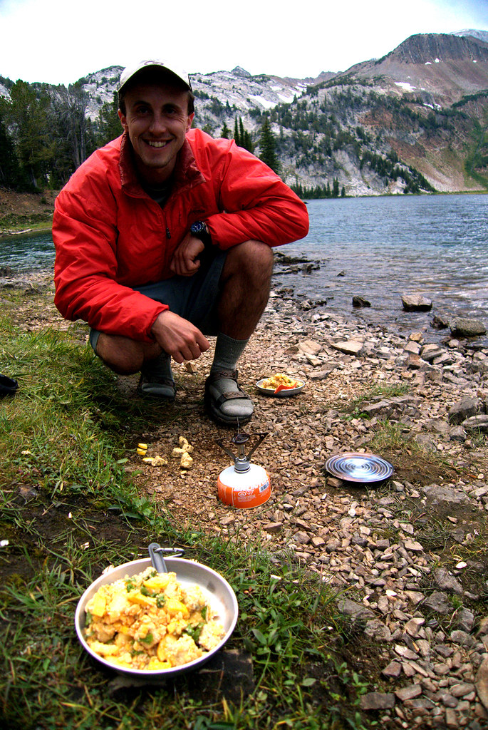
Nat's backcountry gourmet dinner
heading back across the river
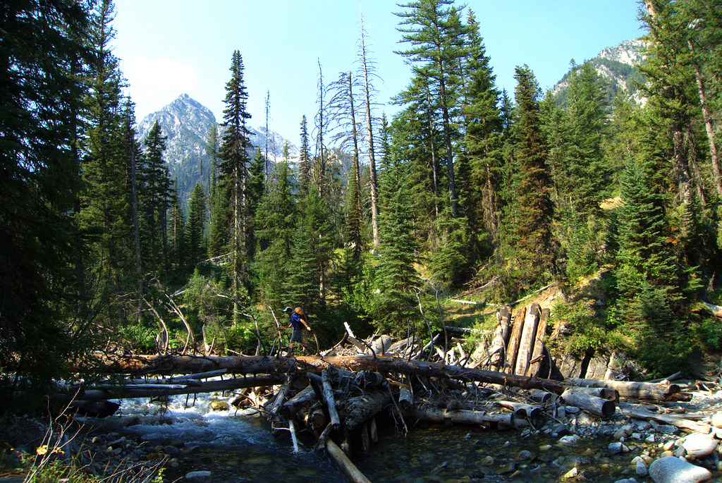
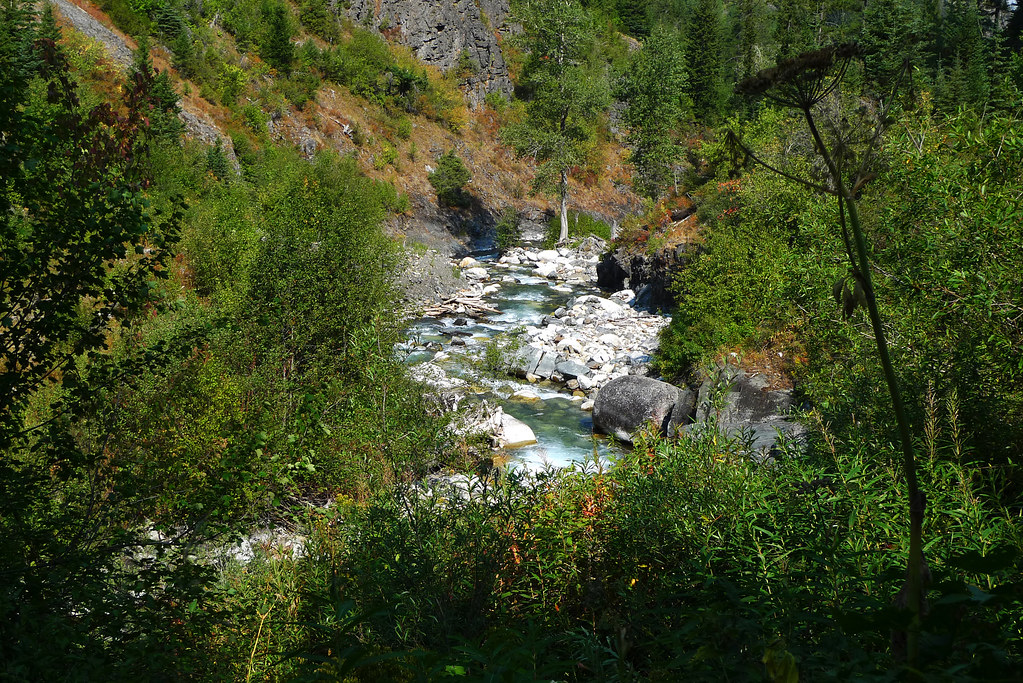
and down along the West Fork Wallowa River trail
Terminal Gravity - Nat with his victory beer (did I mention he made it over to Sacajawea in 30 minutes?)
view from the top of Matterhorn (recommend selecting 1080p option)


