Did a few hikes while we were there.
Hike #1 -
19 miles, 3500' gained:
Cruised up to Ice Lake and had the track from Water's climbing mate for the
Matterhorn thinking I could tackle this whole thing in one shot. Hhehe.
Luckily some thunder and lightning activity while I was breaking at Ice Lake
changed my mind, another day for the Matterhorn and me.
GPS says 19 miles but I think it was really 20 so there.
I think my camera has a focusing malfunction, sorry in advance for my n00bish looking pictures.
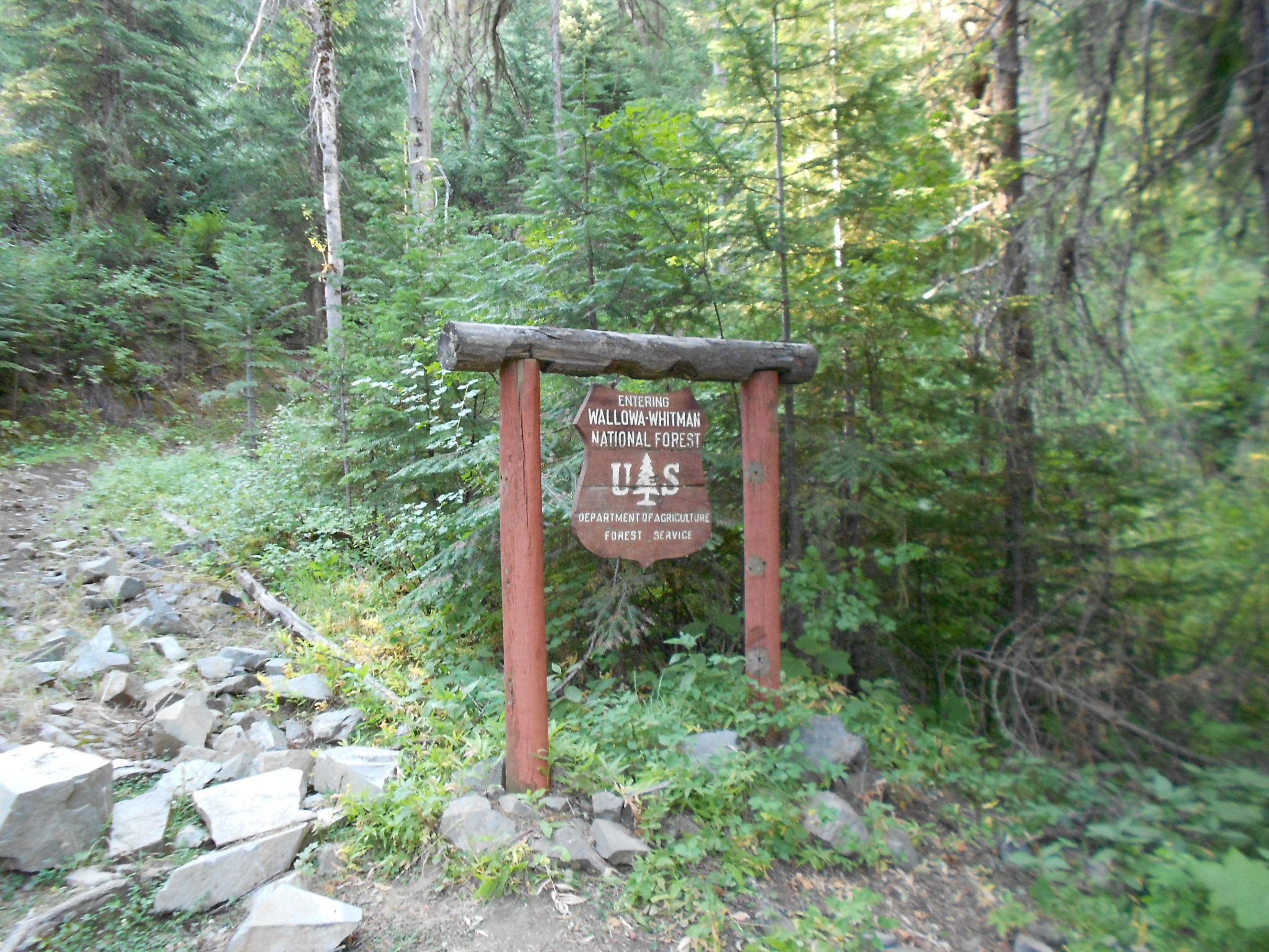
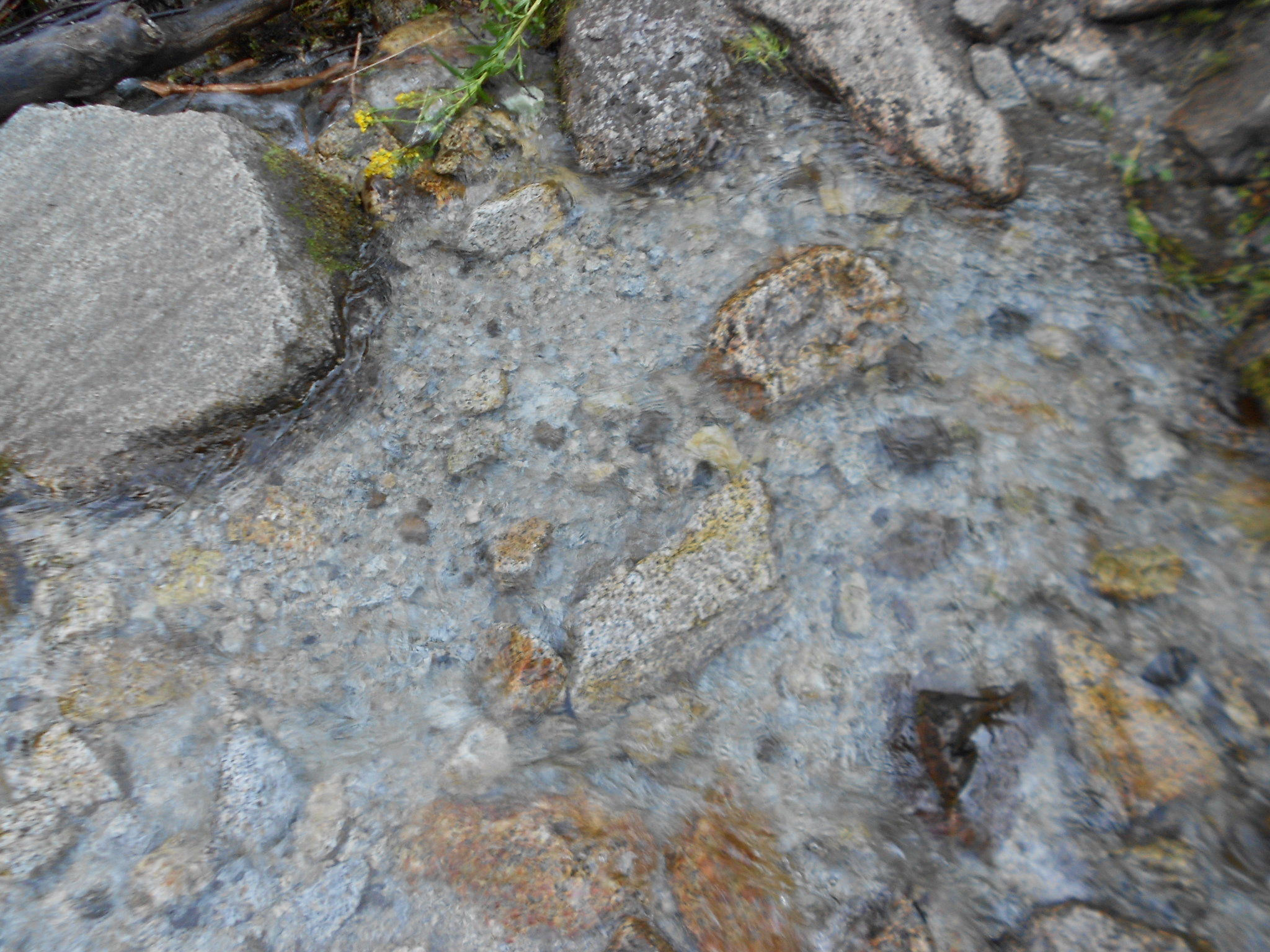
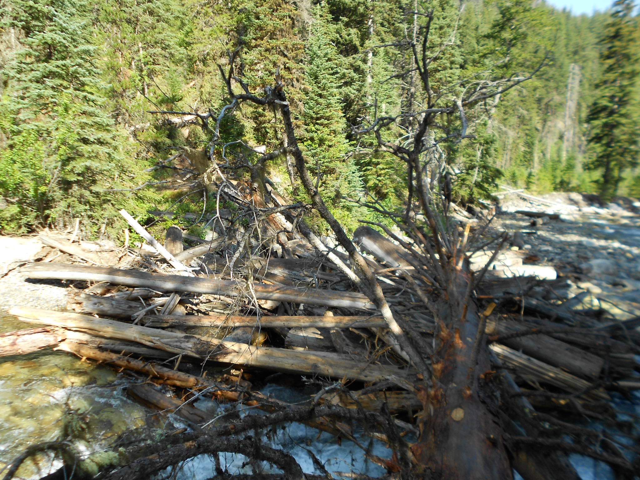
Had to cross this since the USFS removed the Ice Lake Bridge...
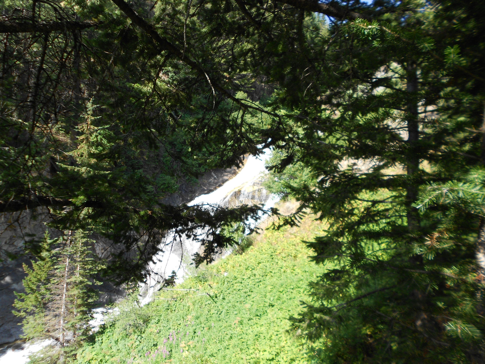
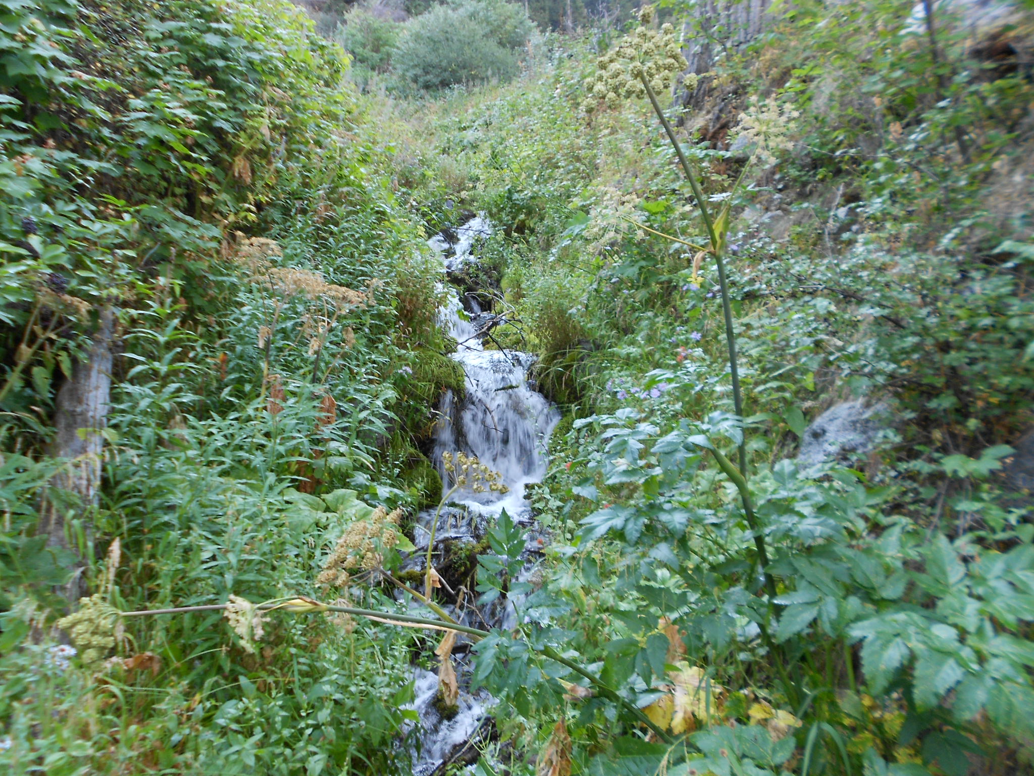
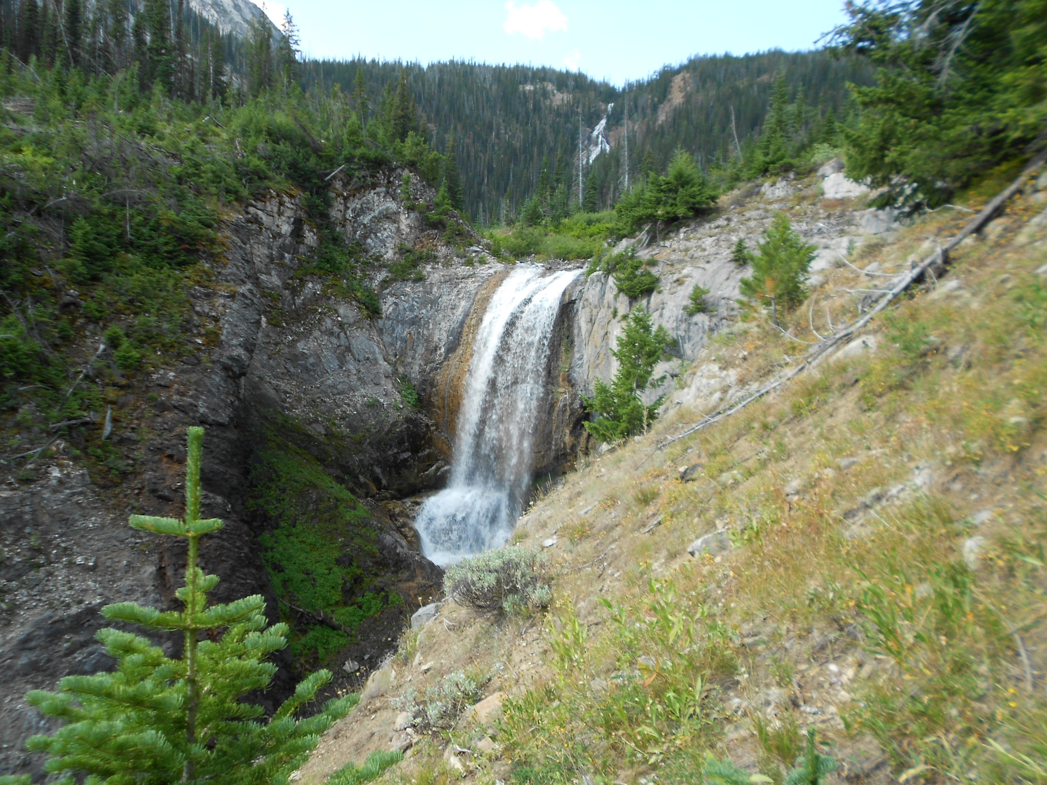
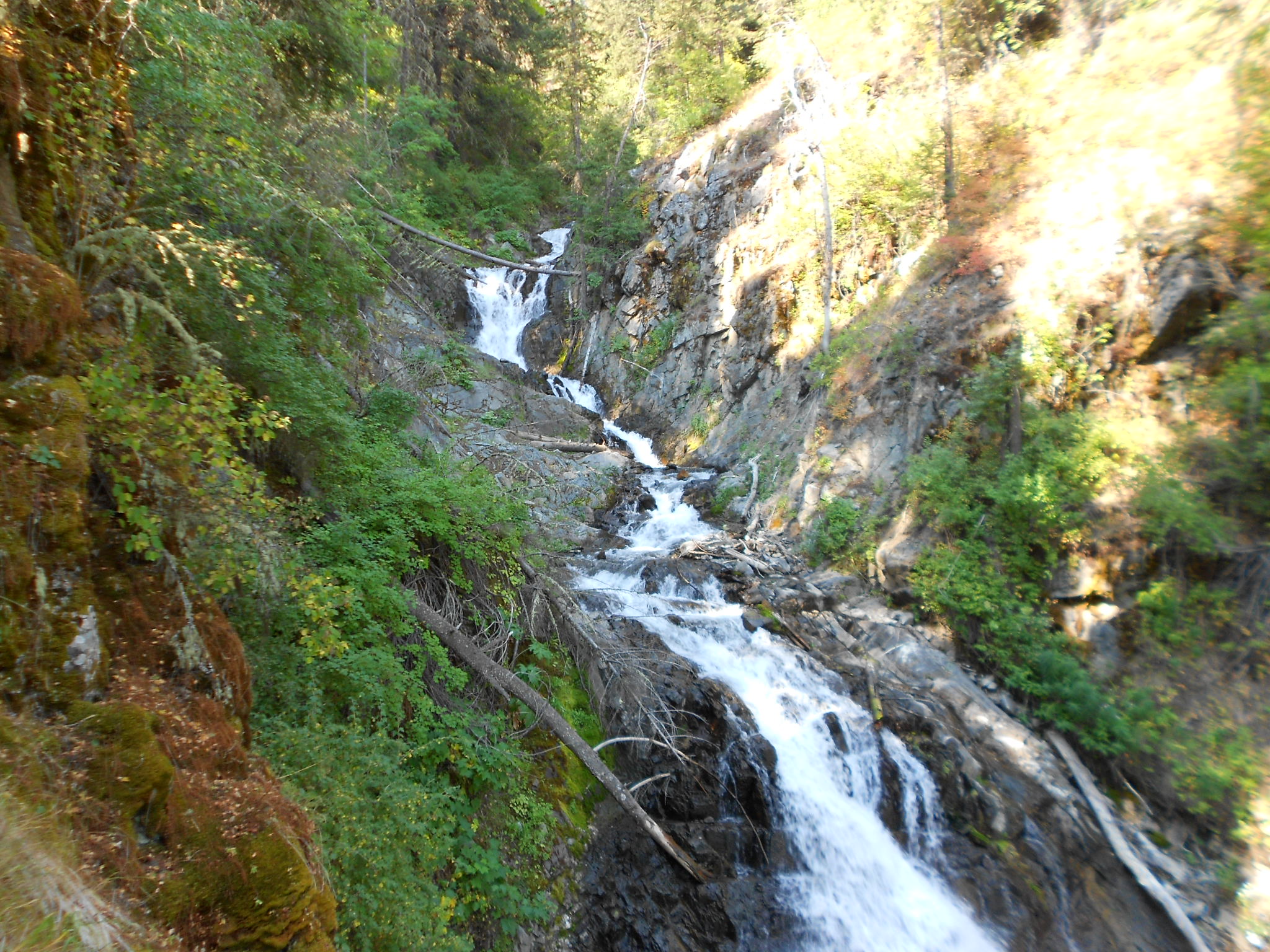
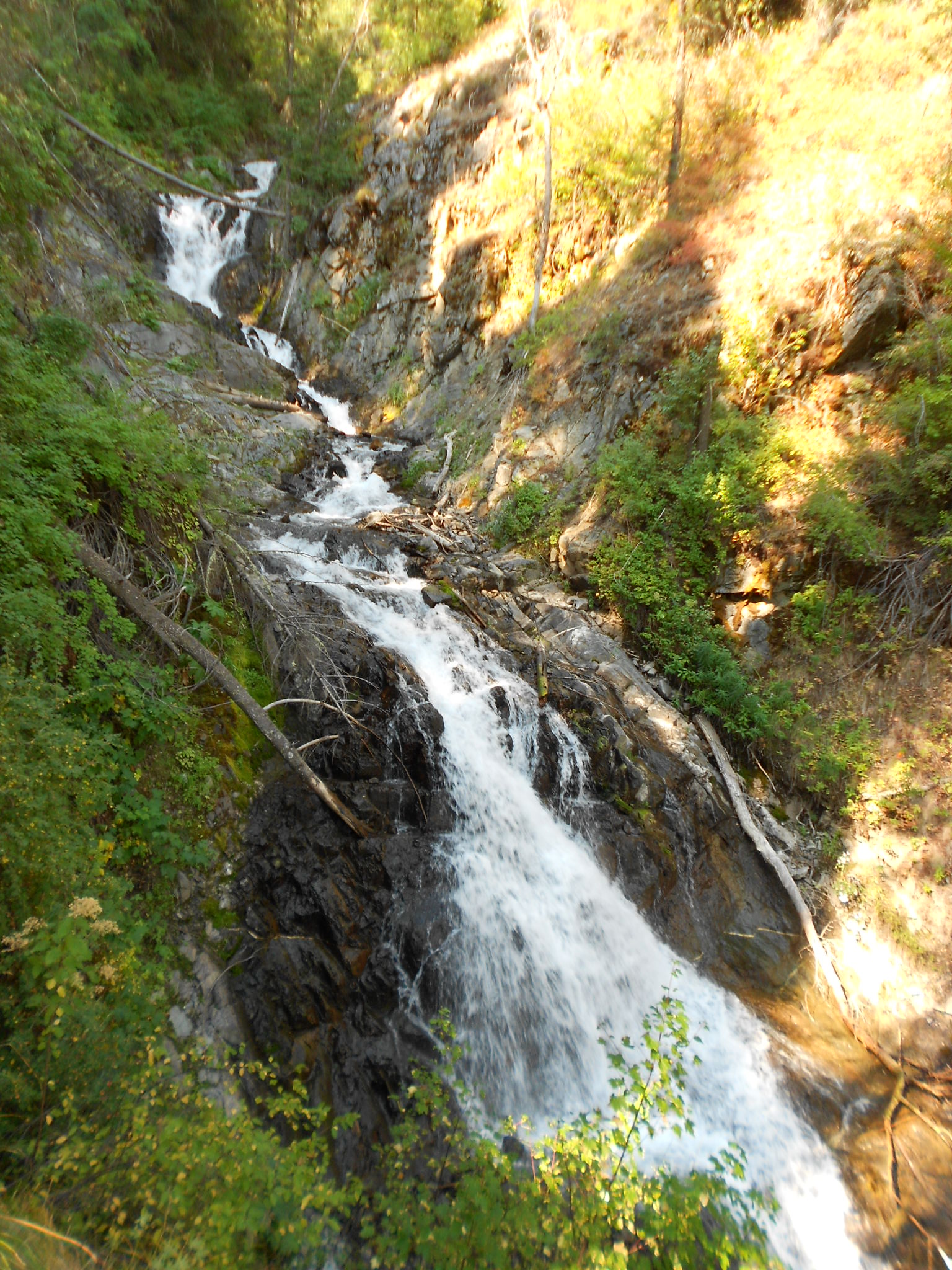
Waterfalls on Adam Creek along the hike up to Ice Lake
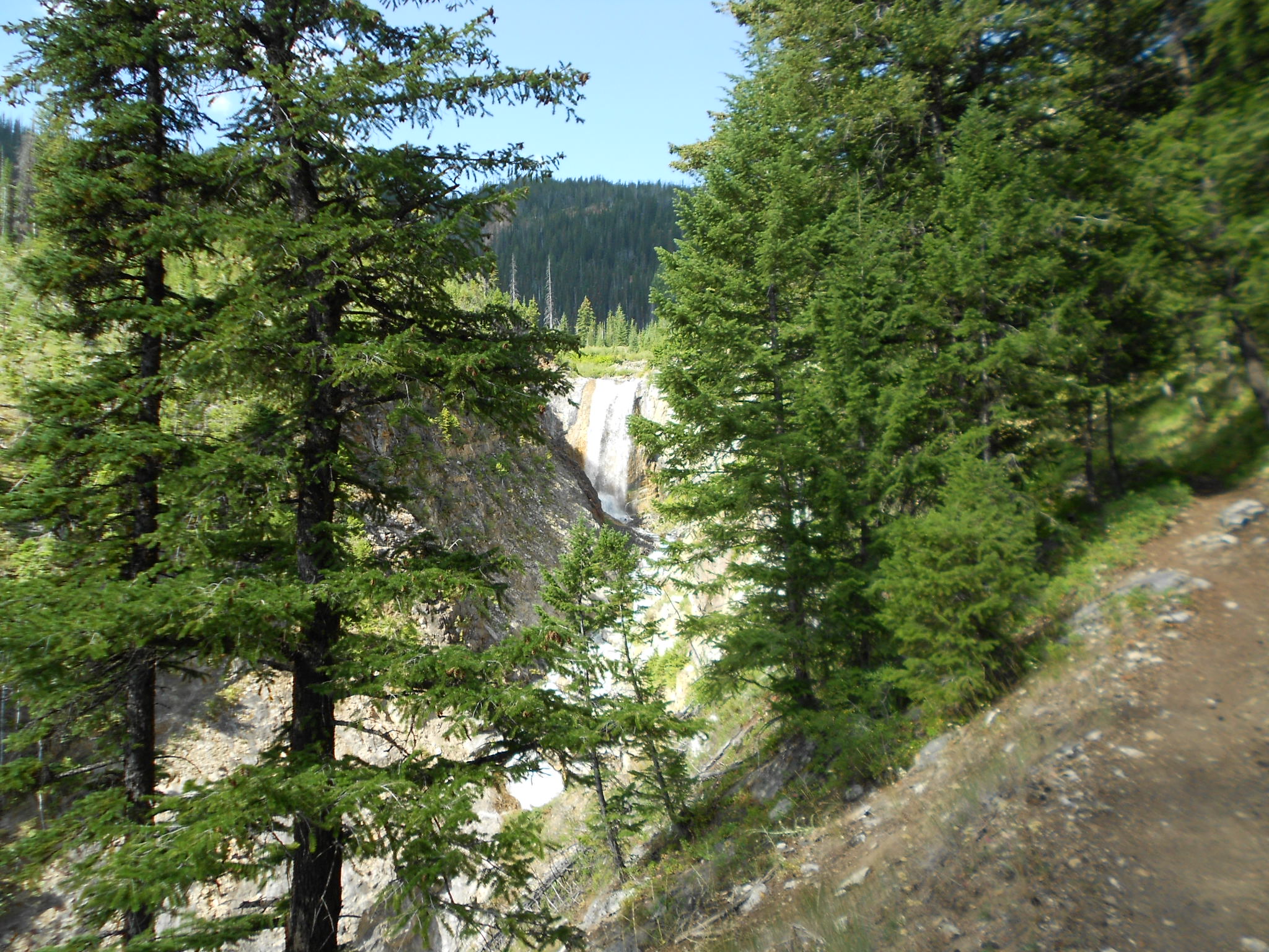
From further down I thought this was a snow field, but it's a another waterfall on Adam Creek draining out out Ice Lake...,
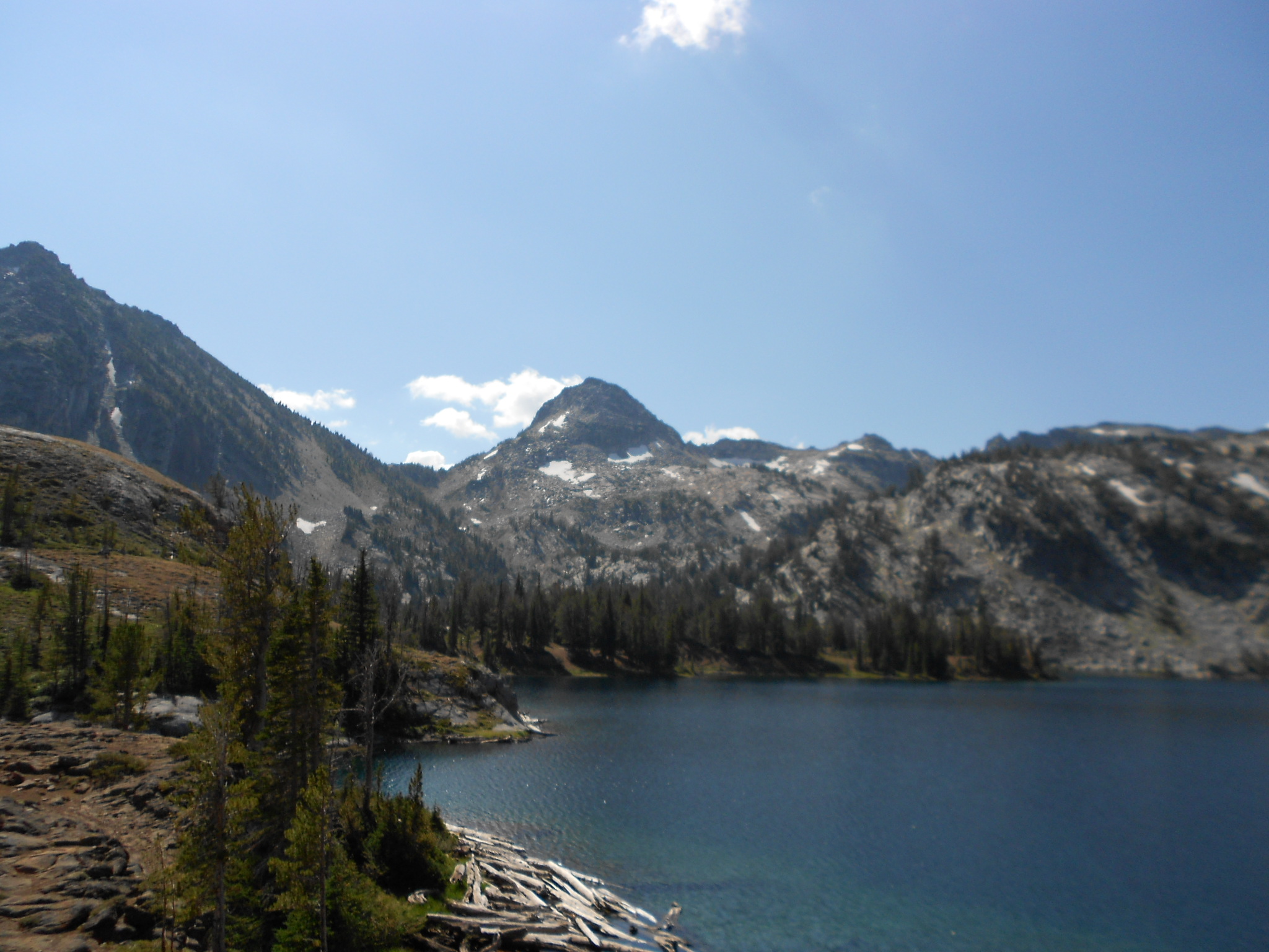
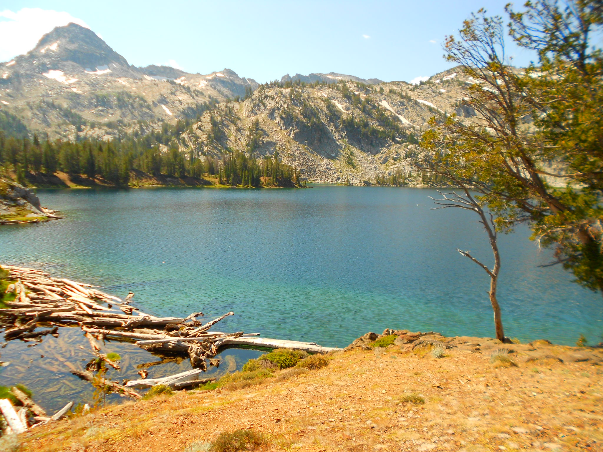
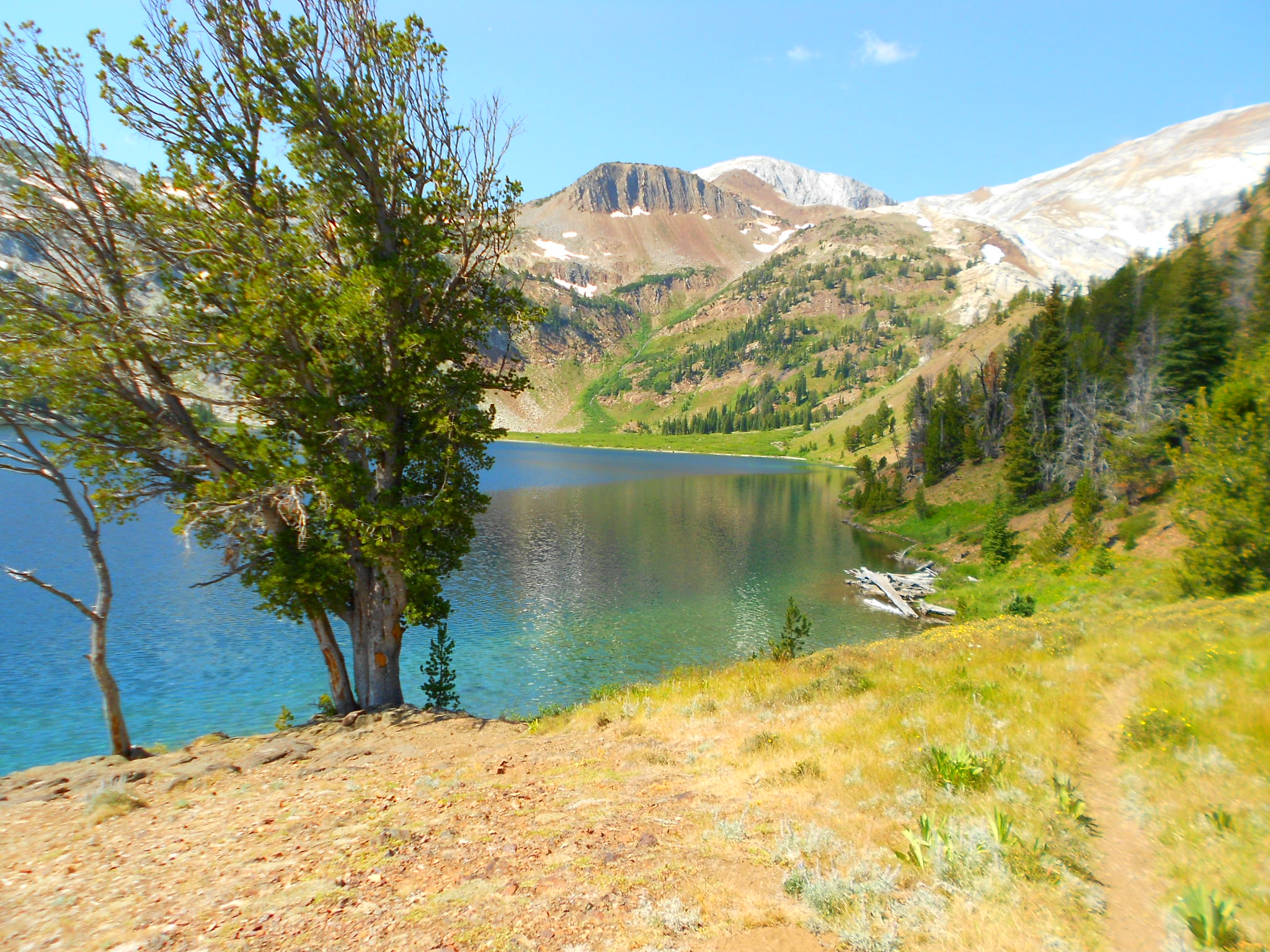
Ice Lake
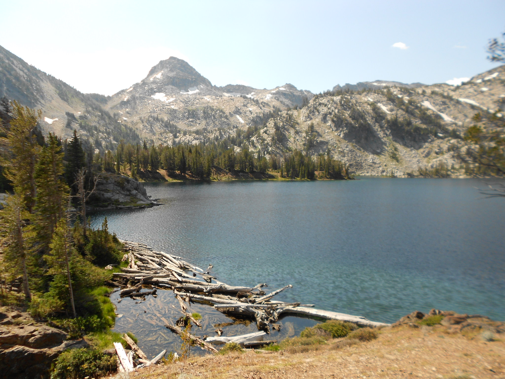
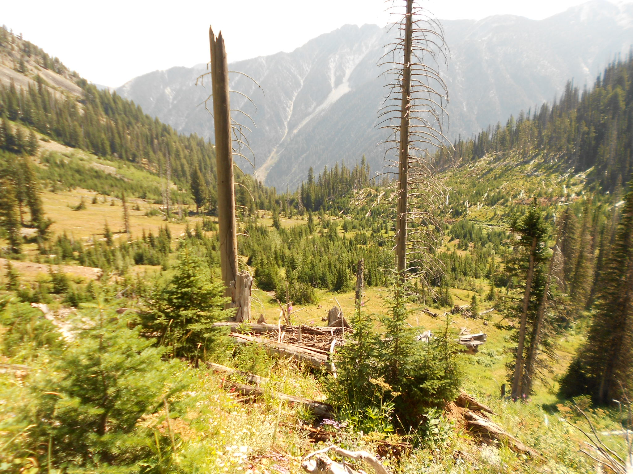
On the way down from Ice Lake

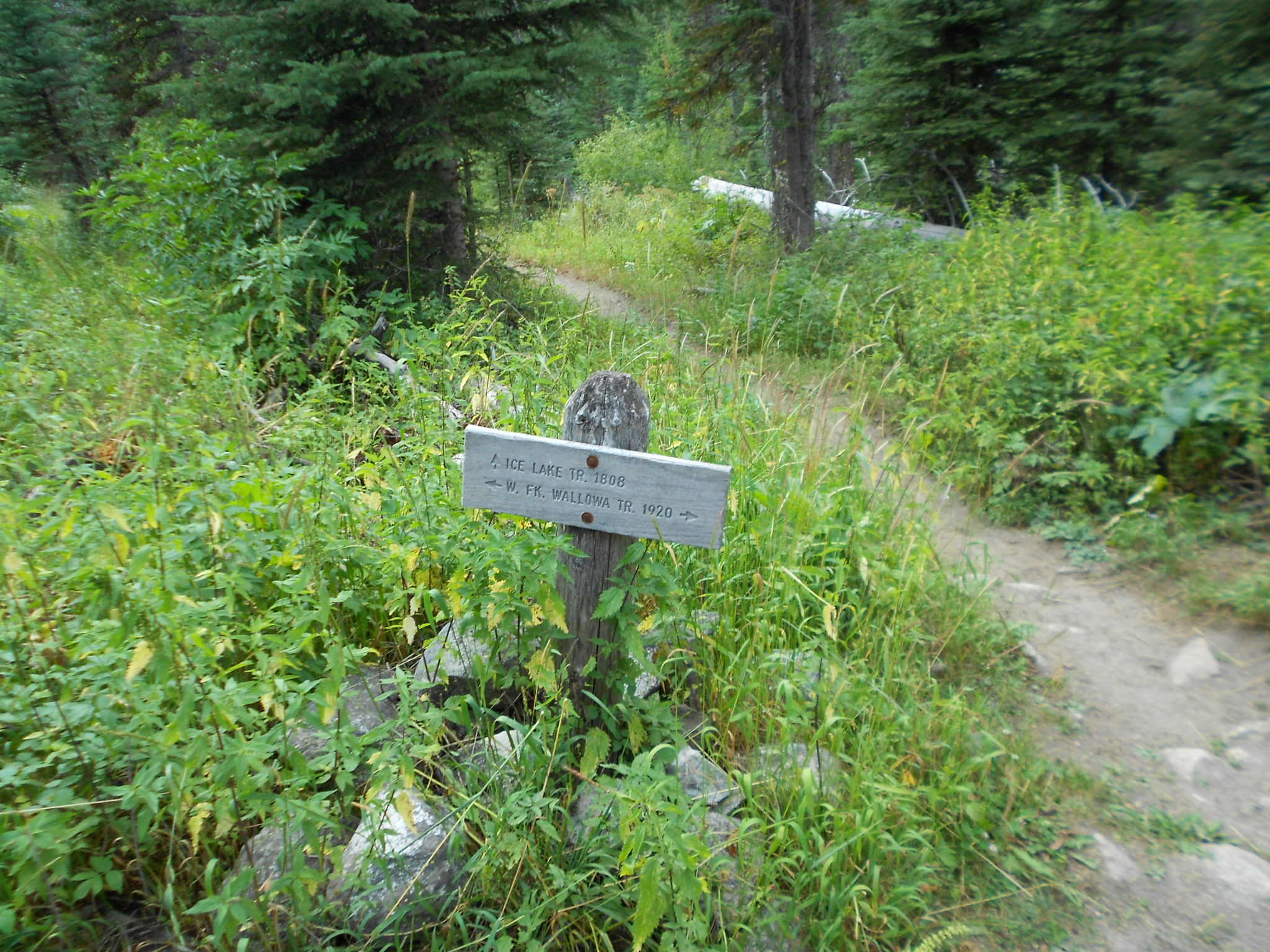
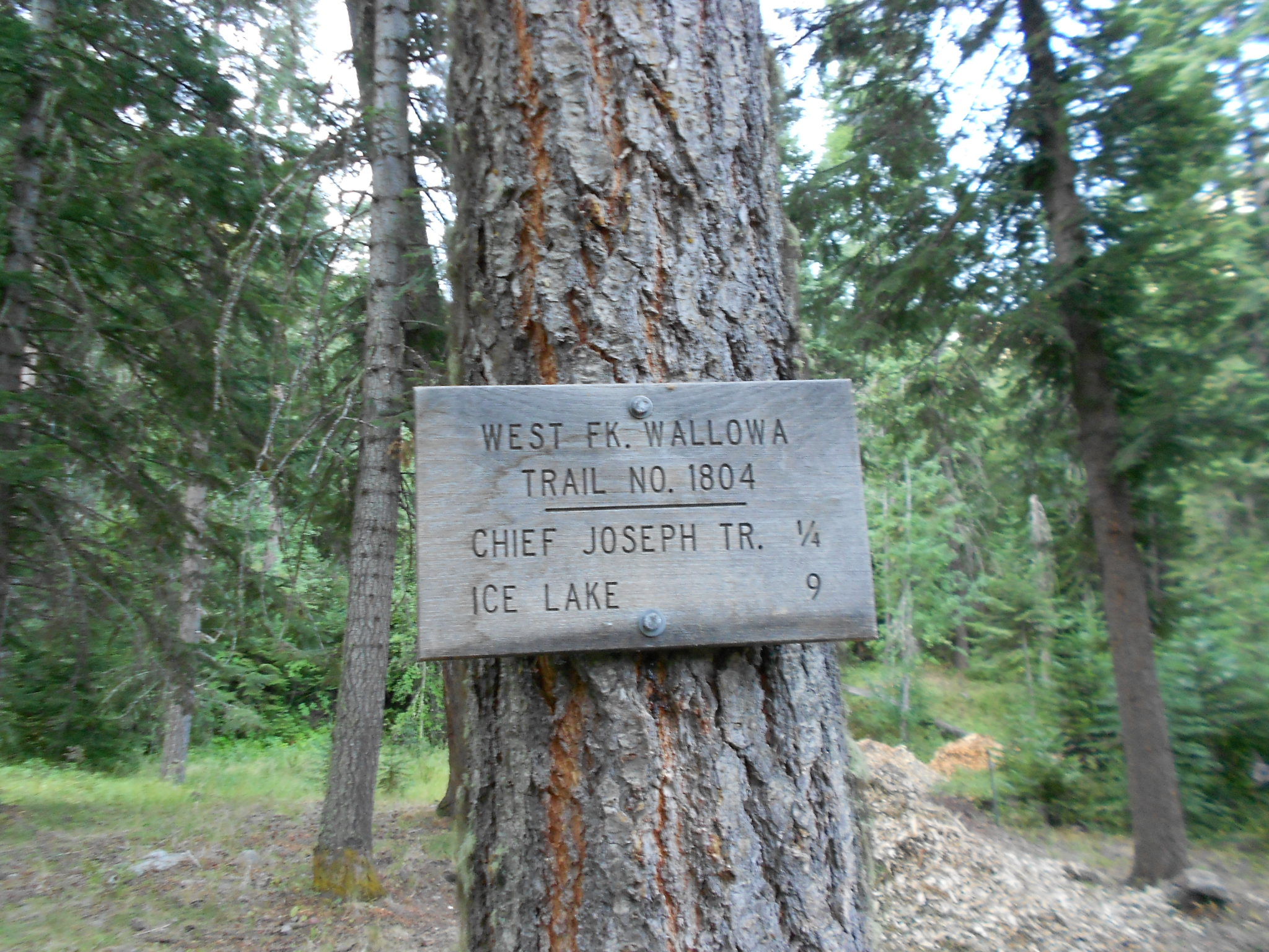
Junction off of West Wallowa Trail to Ice Lake
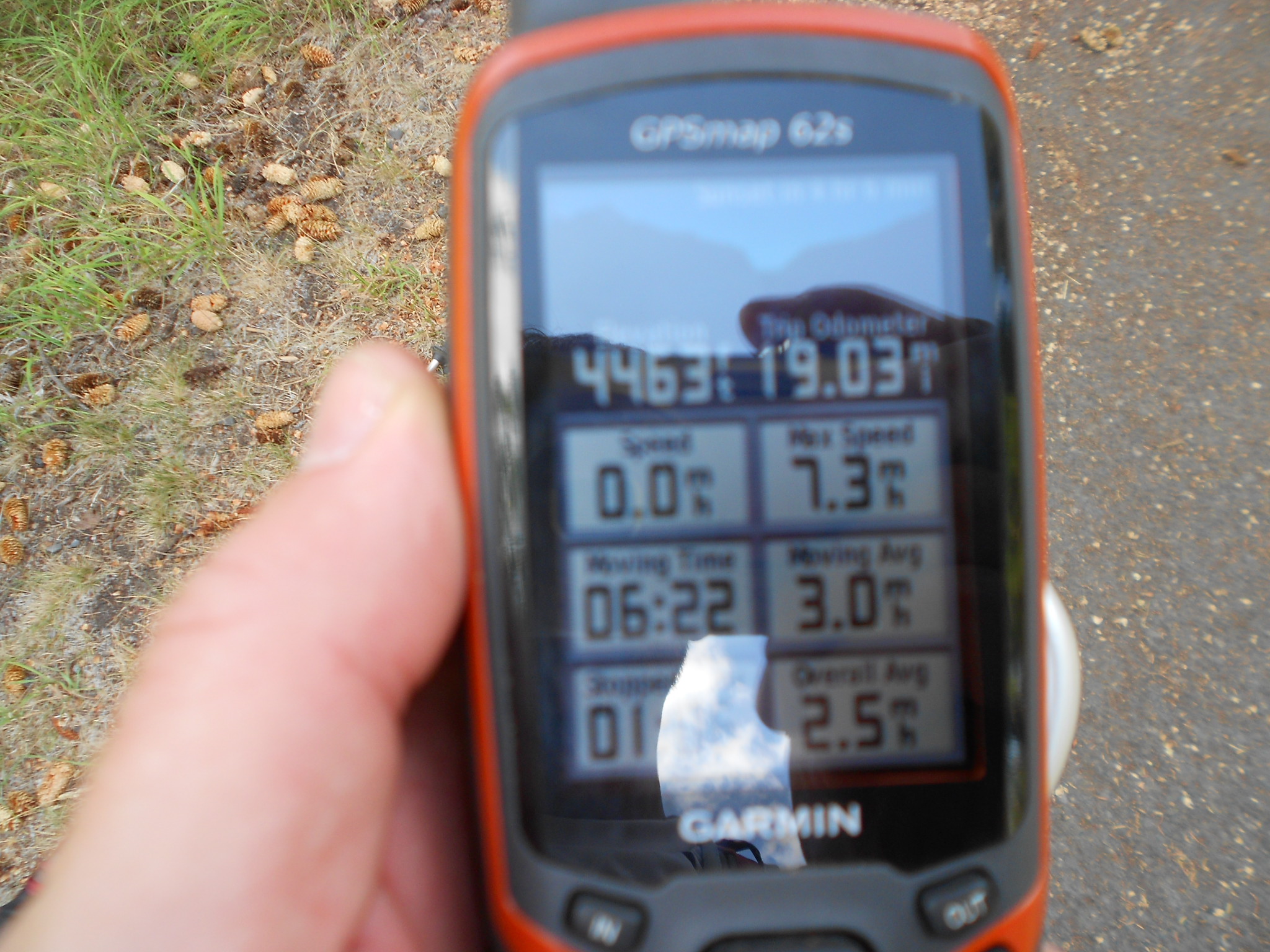
20 miles in the books...
Hike #2 -
6.0 miles, 2500' gained
'Recliner Hike' after the Ice Lake trip to 'recon' Chief Joseph trail/MT ascent.
Somewhat of a precursor for the hike that follows this one.
I needed a quick little recliner hike to keep my knee from totally whacking out on me after the longish 19 mile Ice Lake hike. Went up to the Chief Joseph trail from the South Wallowa Sate Park TH and found their nice foot bridge out at BC Creek and 'scwacked up a bit for a little recon to find a better crossing and got another picture of some waterfalls. Finally made it across BC Creek without getting washed away and continued on the hike. Met a guy while I was crossing BC Creek that said there was another way up to Chief Joseph trail from the Lake area so intended to find that junction to head down to the lake to meet my family for amid afternoon lake swim. Got to the junction in about 1.5 miles and saw where there was a bush whackers climbers trail up the ridge that bypassed miles of easy graded Chief Joseph switchbacks. I thought I saw a T Pee on the top of some point and for some really stupid reason also thought that it was the top of Chief Joseph without really checking elevations very well on my GPS, so I decided I would go to this point on my next hike thus this hike was somewhat of a recon for the next days super crazy loony bin scramble/schwack...
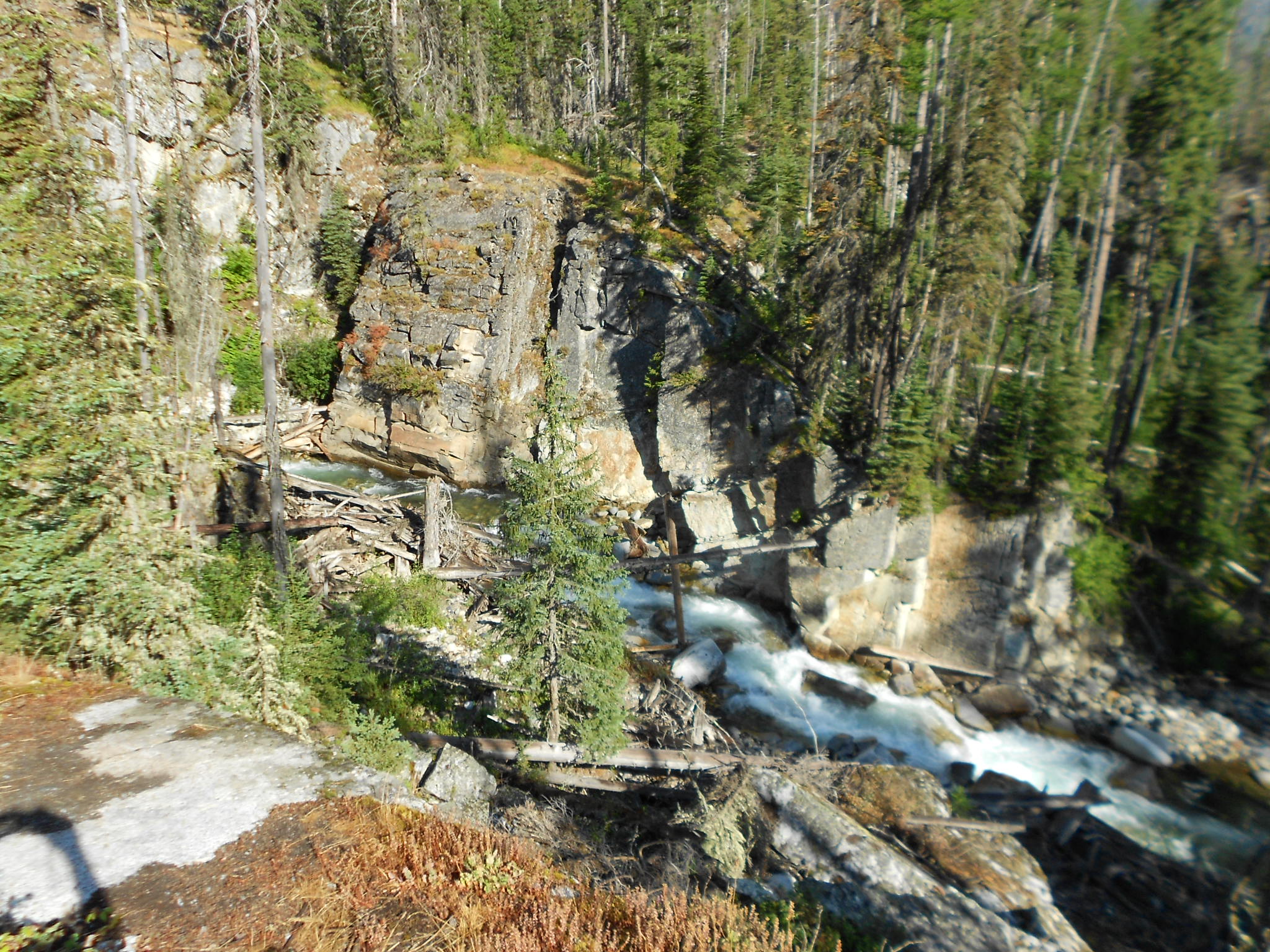
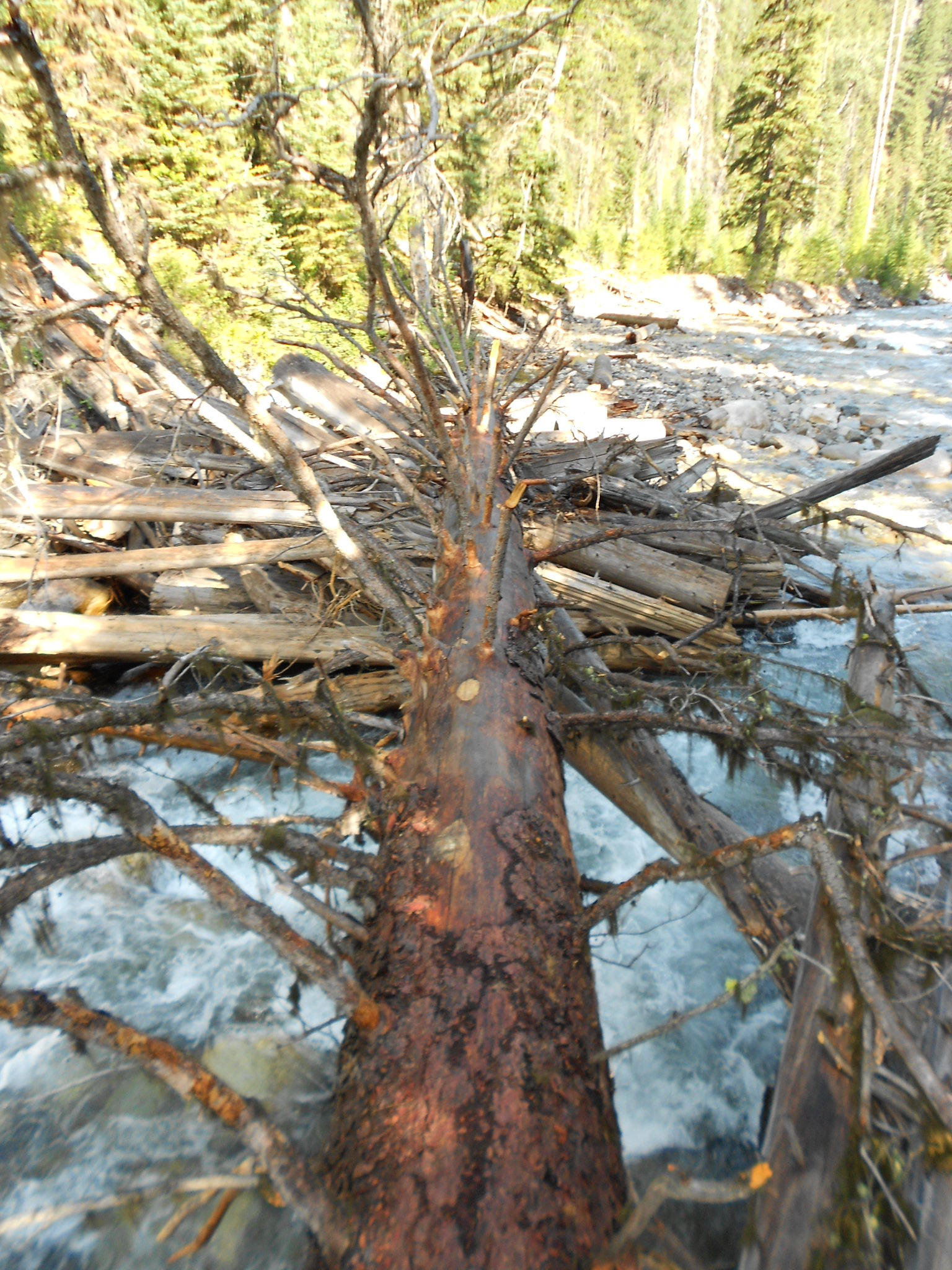
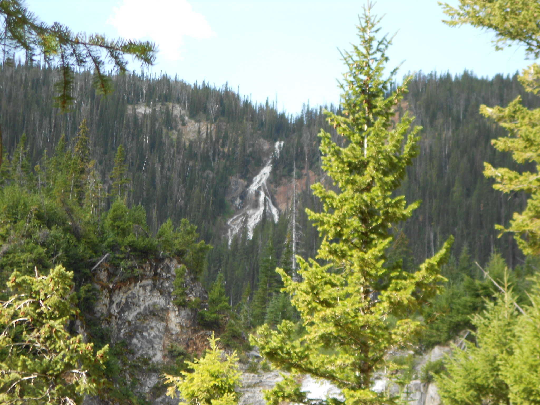
BC Creek where the bridge is out
Just up a little ways on BC Creek from washed out bridge on Chief Joseph Trail
Hike #3 -
10.0 miles, 5500' gained
My closest call to almost spending a unplanned night in the woods with plenty of food and water but
only a emergency blanket for shelter. Super dumb hike but glad I had some off trail experience.
I fully expect to be crucified for this part of the report and it's understandable
not to report this one on PDX also, but maybe someone else who reads this can learn something
like I did so I am posting it anyway.
Ok, I think I learned a valuable lesson on this one!!
Lesson number 1:
Don't go climbing a mountain without knowing exactly what your descent route is.
Lesson number 2:
When scrambling up rock faces on said mountain and nearly freezing up from thinking this was the end of everything and telling yourself to turn around and go back down, LISTEN TO YOURSELF and DO JUST THAT.
Initially on this day hike I thought I would be doing a harder than average hike up to something called Chief Joseph Mountain, or what I thought was CJMT. On the previous days hike during my little recon of the area I thought I saw a T-PEE
on the top of a point that I thought was Chief Joseph, jeez buy a freakn' map dude. Short cutted up the first ridge from Lake
Wallowa and got up there in just under 2 hours, umm, this isn't Chief Joseph MT. Checked my GPS for elevations
while looking up and could see that I had around 1500 to 2000 feet to gain if I wanted to really get up to CJMT.
Thinking back on this from 1 day later, it seems my GPS wouldn't really tell me where CJMT was in relation to where I was.
I did load the entire Eagle Cap wilderness into my GPS before I Ieft town so I knew I had the major routes of the area, but
I failed to buy a local hard paper map of the area.
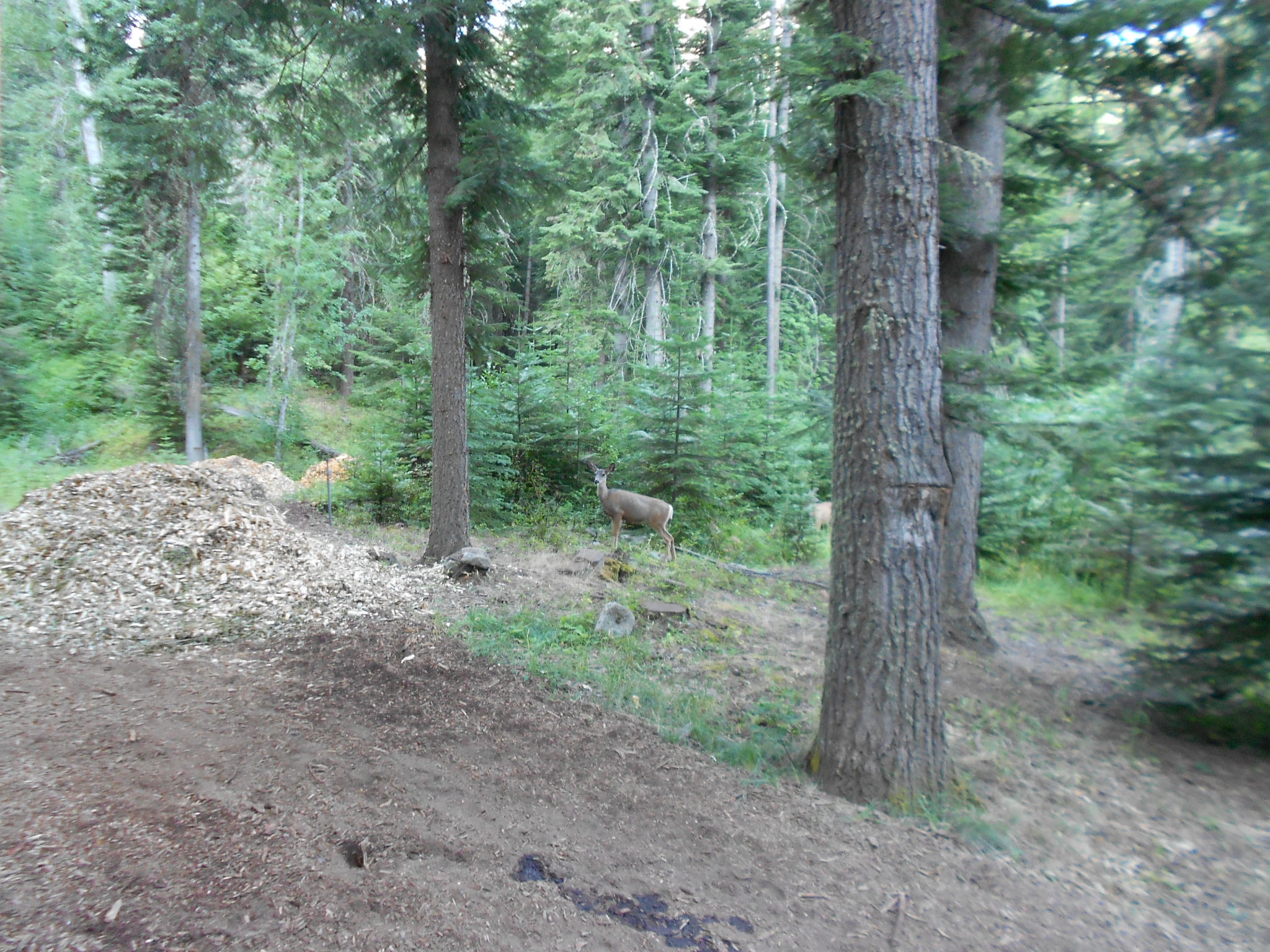
Saw some deer ascending some rocky slopes that also had some trees so I thought I'd head over that way too and check it out.
It looked doable from my vantage point and the deer were doing it so I knew I could also do it. I had tons of time and daylight left
so I decided I would just go as far as I could and I would turn around if it got to steep to descend safely. LOL!!!
It started off pretty easy and I had a few decent off trail 'schwacks under my belt as well, but this turned into some sort
of rock scramble about 1/2 mile in. Had a strange freeze up moment where I thought I was in way over my head and
thought I could just fall off and that would be it for me. Told myself to turn around and descend the way I came up but
for some unknown and totally stupid reason I decided to find another way up and keep going. If I knew now what was
to come, I would have easily decided to just turn around at this point.
Regained some composure and kept going up to the top of a ridge that my GPS said was about 8600' or 8800'.
It was pretty dicey for me as I'm not a rock climber but I made a little video of the area and captured some nice chutes
that dropped down steeply from where I was down about 1500'. I managed to gain the ridge and knew there was no
way I was going back down that way, so just kept going to get to the highest point on Chief Joseph MT. Signed
the summit register and read a few pages looking for descent clues and even left the question of how to get down.
I called my wife, cell coverage was great up there, and she walked up to the Wallowa State Park booth to ask them
what a easy descent route would be. She had them call me after I couldn't believe the information they gave her
on the descent route. I talked to a gal who thought I was just on the Chief Joseph Trail that was way down below and
had to repeat several times I was up on the top and signed the summit register. She told me to either go down the
same way I came up or go to the BC Creek drainage and follow that back down to where I was the day before.
The really weird part of this is I had scoped out the BC Creek area the day before and knew it was just a dicey
canyon with tons of waterfalls, told her this while I was on the phone and she said to go that way anyway.
I really had no other choice unless I wanted to go down another ridge that was about a mile away and hook back
into the track I already did or hike all the way over to Sacajawea Peak via the ridges and descend into Ice Lake and
make my way back. I opted for the park rangers advice and headed down into the BC Creek drainage.
It wasn't too bad at the start but I was starting to realize just how stupid this little adventure was turning out to be.
I decided to not eat my food except for 1 apple, I wasn't really hungry anyway, and drank sparingly just in case I had to spend the night,
even though I could have eaten a cliff bar or something. Got down a steep scree slope and hit a section of
BUG Creek that was dried up, I wasn't feeling fatigued or anything but I was having trouble just staying up
while going down something that seemed so danged easy! Bent my poles up and landed on my knees,
got back up and kept going until I got to the BC Creek area.
It's about 3:00 pm and I still had 2 miles of off trail route finding to do and this BC Creek drainage is totally
full of everything from old ass blowdown to tall shrubs and viney stuff with stickery bushes. WHAT!! 2 miles
of this! And knowing BC Creek was full of waterfalls and steep drop offs, I had my next 2 hours cut out for me
and was glad I had some off trail experience but this was totally insane! Started out on the north side of BC
creek which turned out to be way thicker in blow down and brush, thought I was following some game
trails here and there that would just end nowhere. Headed back down to BC Creek again and followed
it for a time and got a boot wet and had to keep going up and down to get around steep drop offs
and slippery creek sides that just crumbled under me. Got over to the south side of the creek
and had to again go back up in elevation to get around things and came to the worst part of the day
with a steep canyon that intersected BC Creek. Had to go up again to side wall it at it's narrowest part.
It was getting to the point of frustration thinking I would just pop out and find a easy climbers route, I was also
told by the park ranger if I didn't get back by 6:00 pm they would send people out. I did tell her on the phone
wait until 8:00 though, so I was also under a time constraint of sorts during this whole ordeal.
I finally managed to get up onto a ridge that spit me out onto a unmapped user trail that seemed be the
equivalent of a Ruckel Ridge graded path. Followed that for a short time to hook into where I was the
day before at around the point where the BC Creek footbridge is washed out.
Made it back to the Wallowa State Park booth by 5:30.
This hike was really just a whim thing that could have turned out badly for me at more than one point along the outing. Also pretty fun doing all the Chief Joseph Mountain research after the hike!!
Lessons learned the hard way, but lessons learned none the less!
http://gpsfly.org/a/1030
Also a little video nearing the end of my scrambling at around the 8200' level I think -
Here is the route I took:
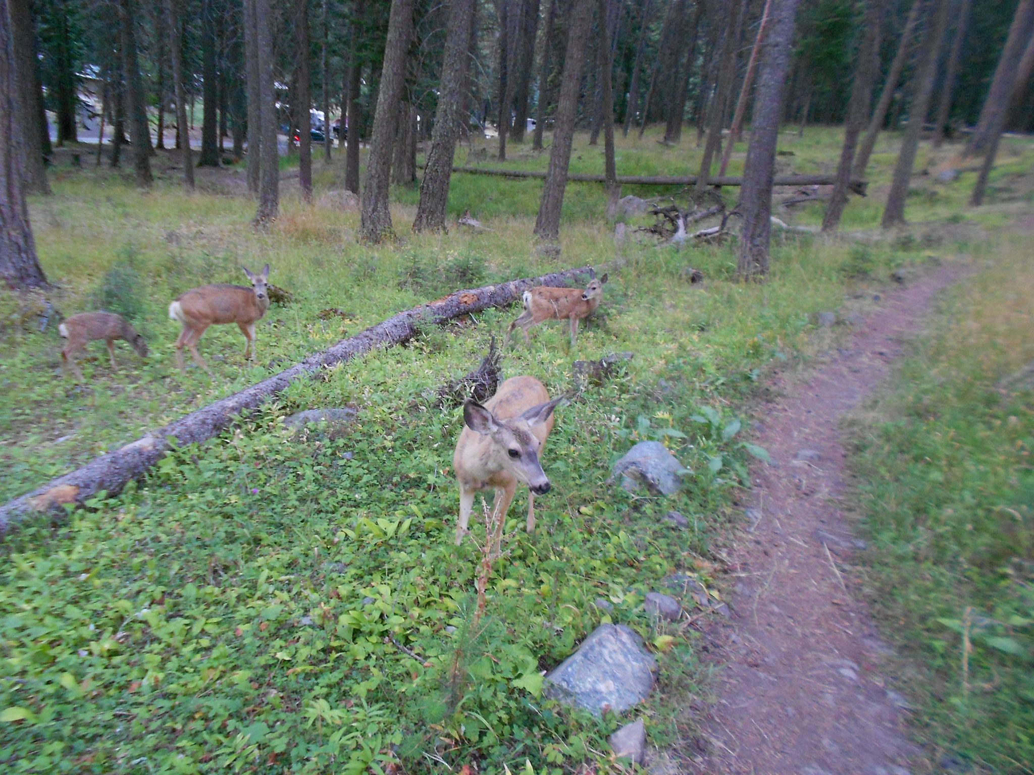
Nice group of Deer that I saw later on the side of the mountain
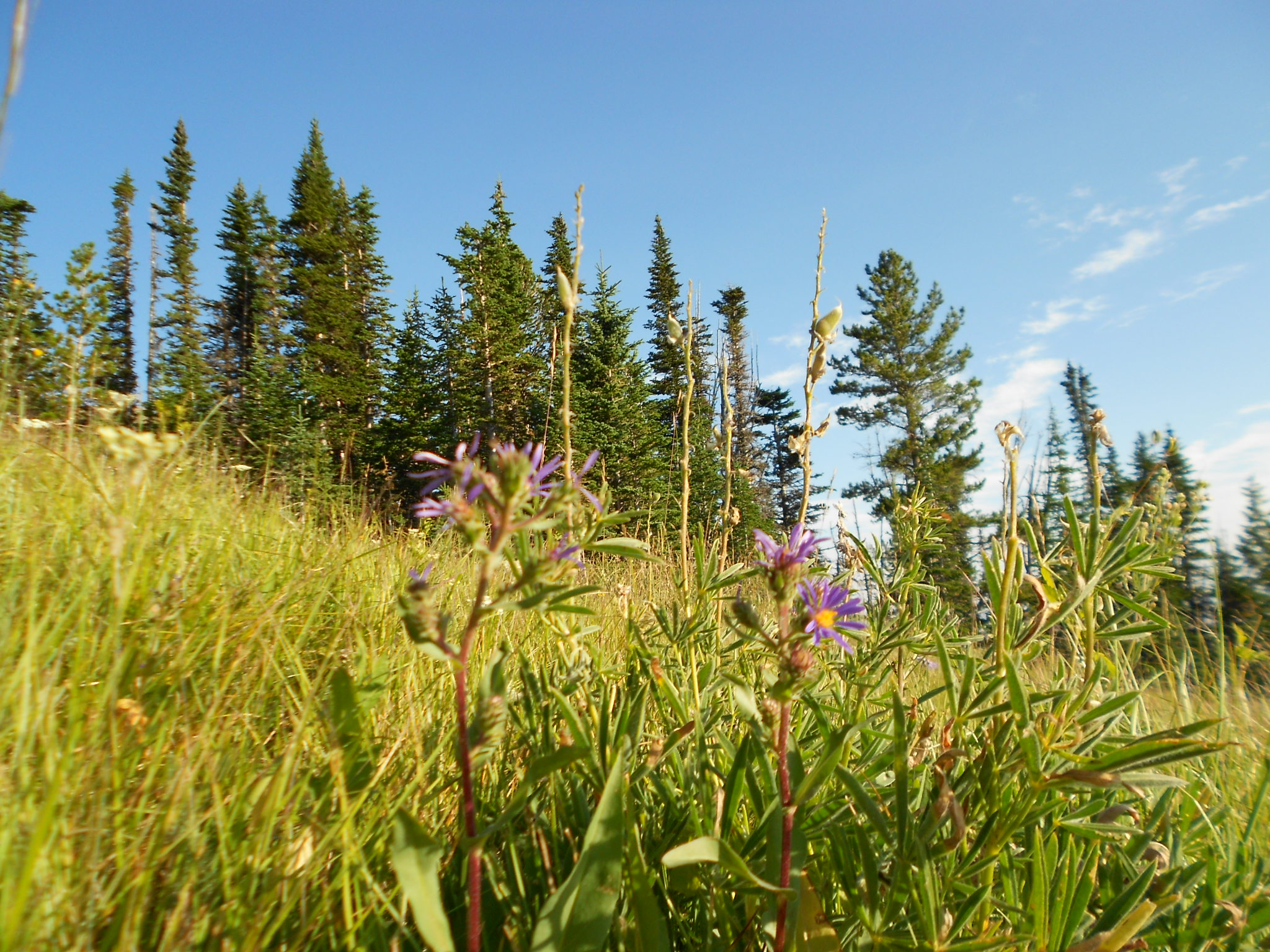
Nice things like wild flowers on the way up
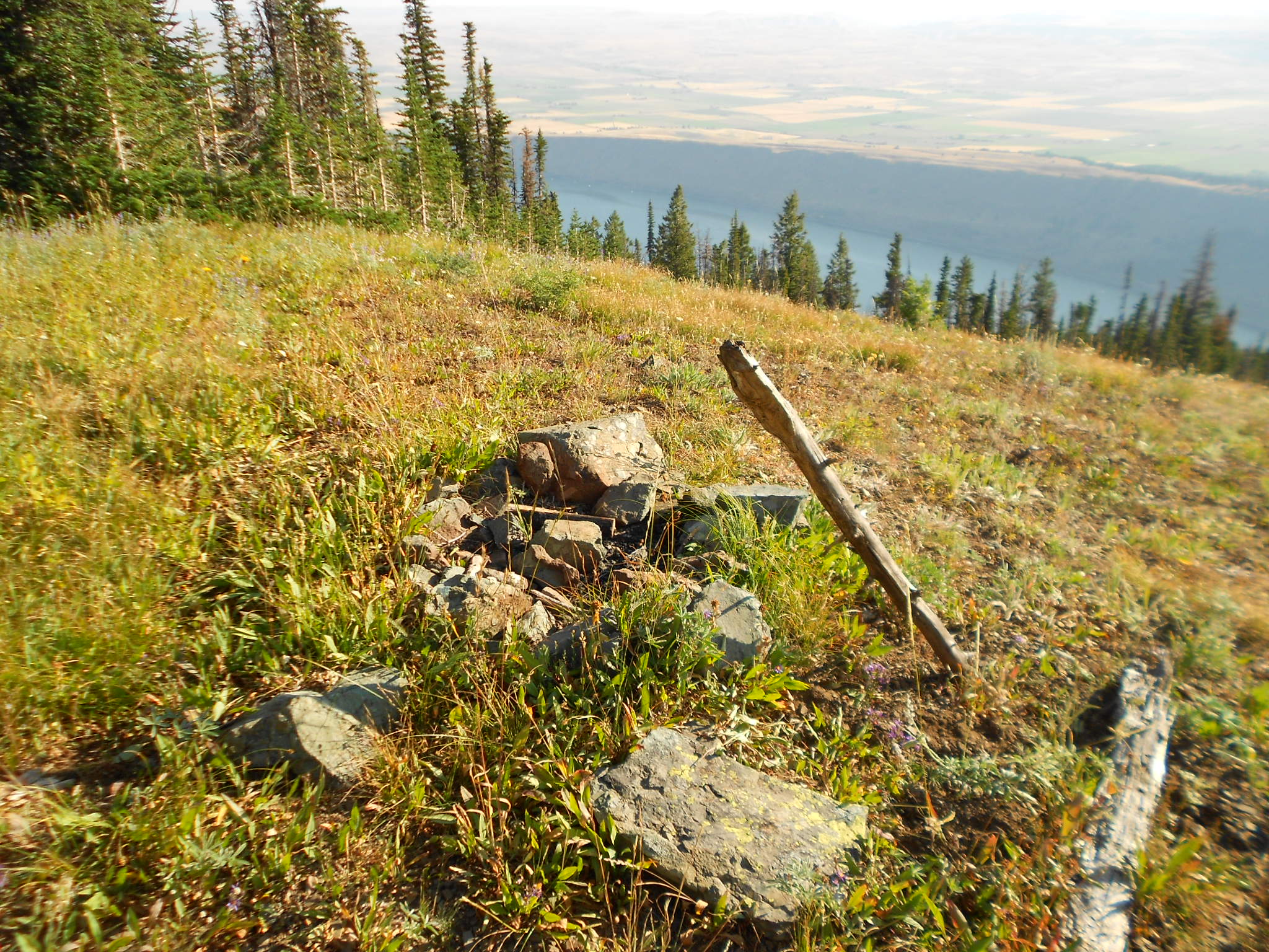
Firepit also on the way up
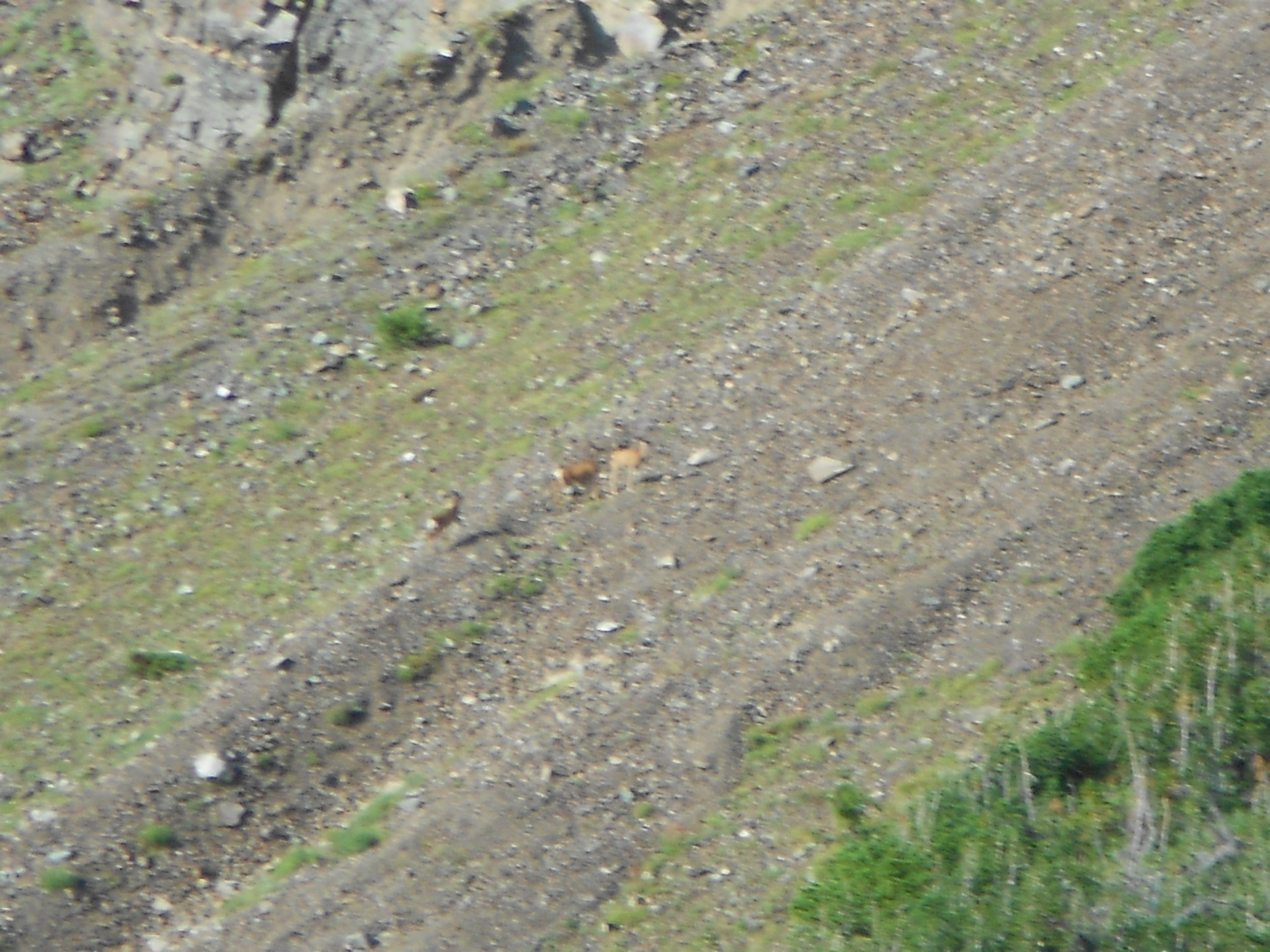
Same group of deer maybe from before? Over on the area I decided to climb up...
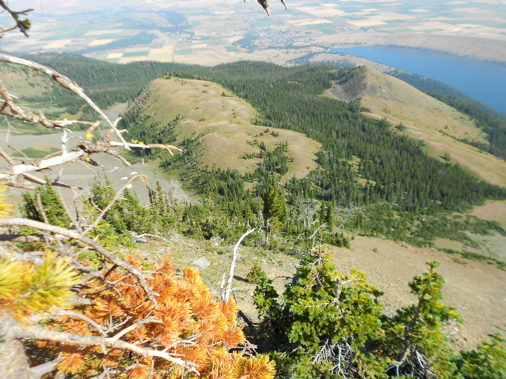
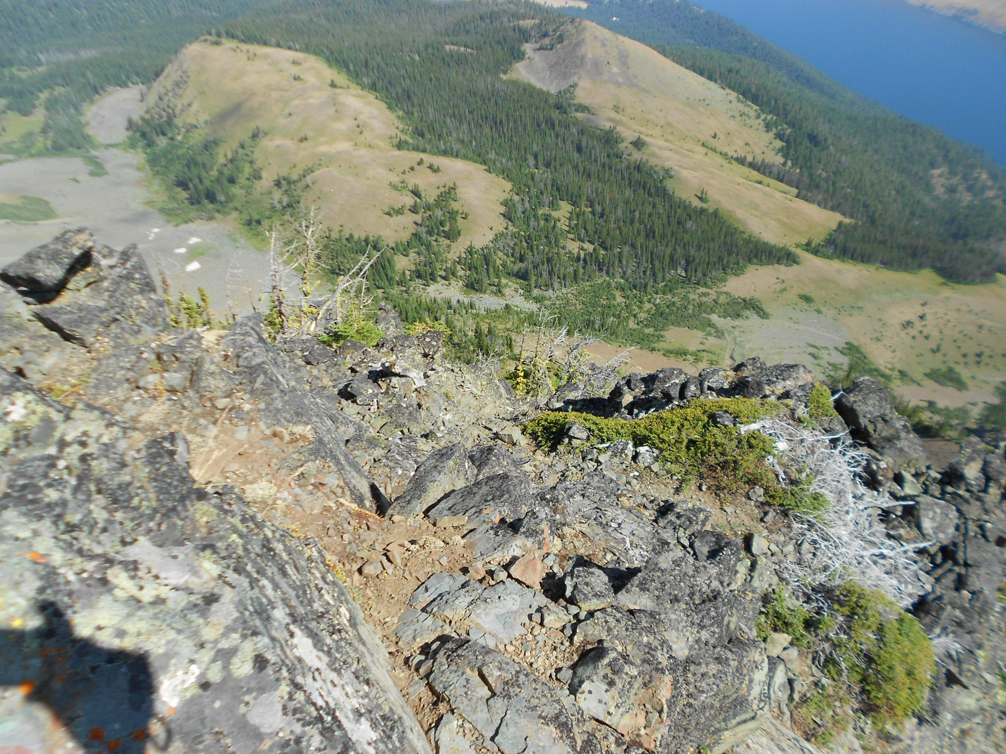
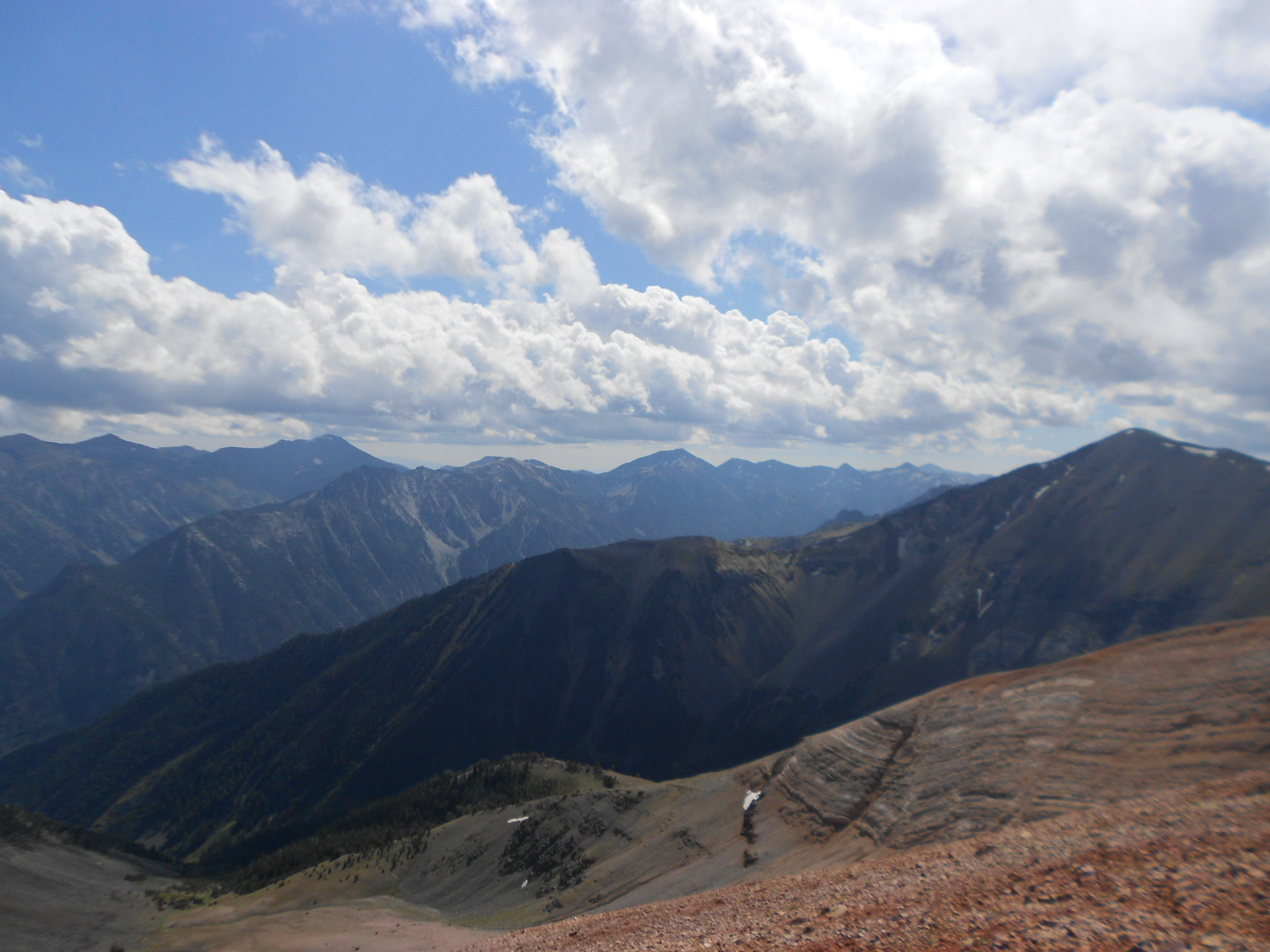
Looking down on area from where I came up...
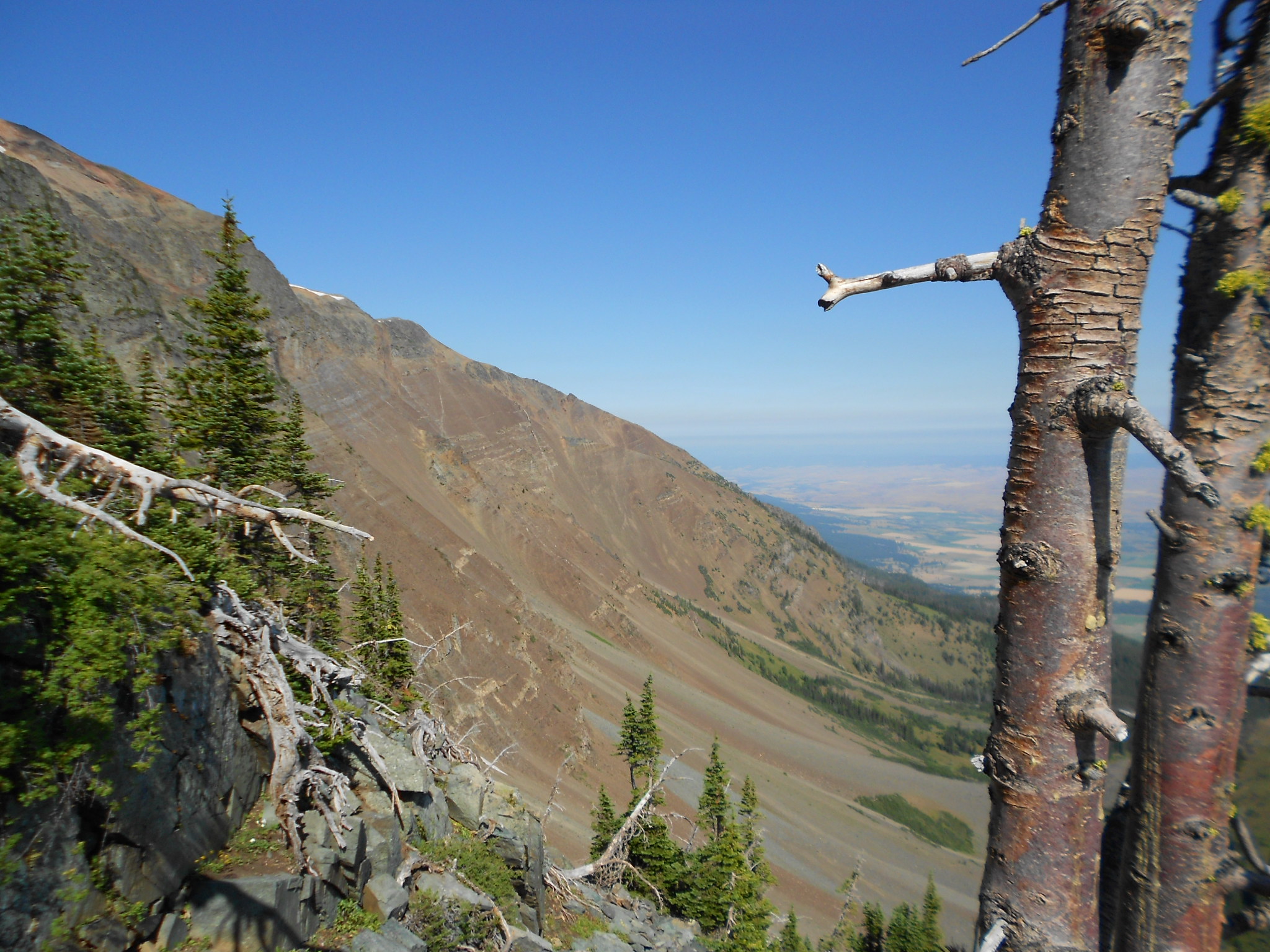
Took a picture of a possible route down from the top, probably should have done this and connected back into my existing track...
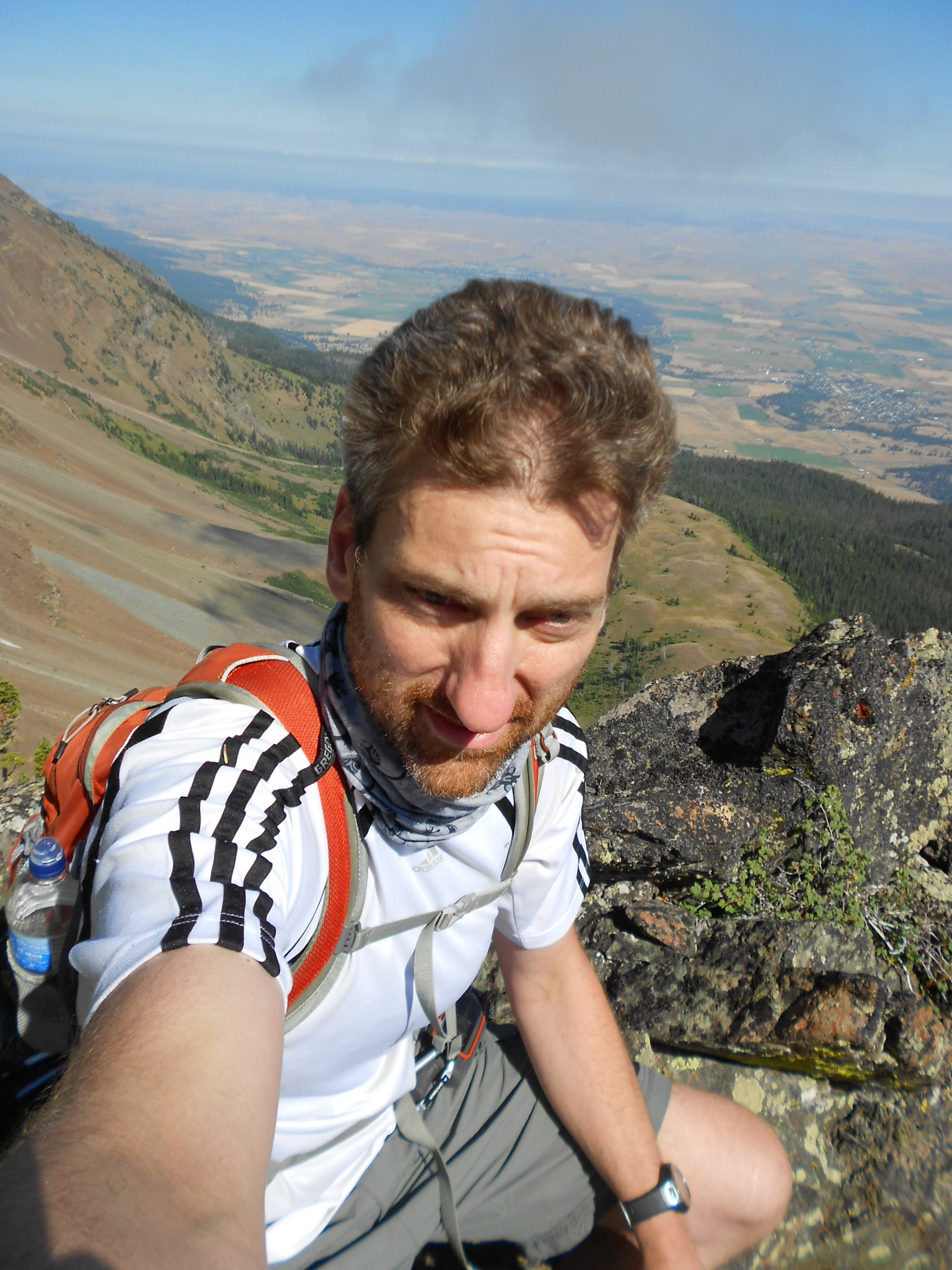
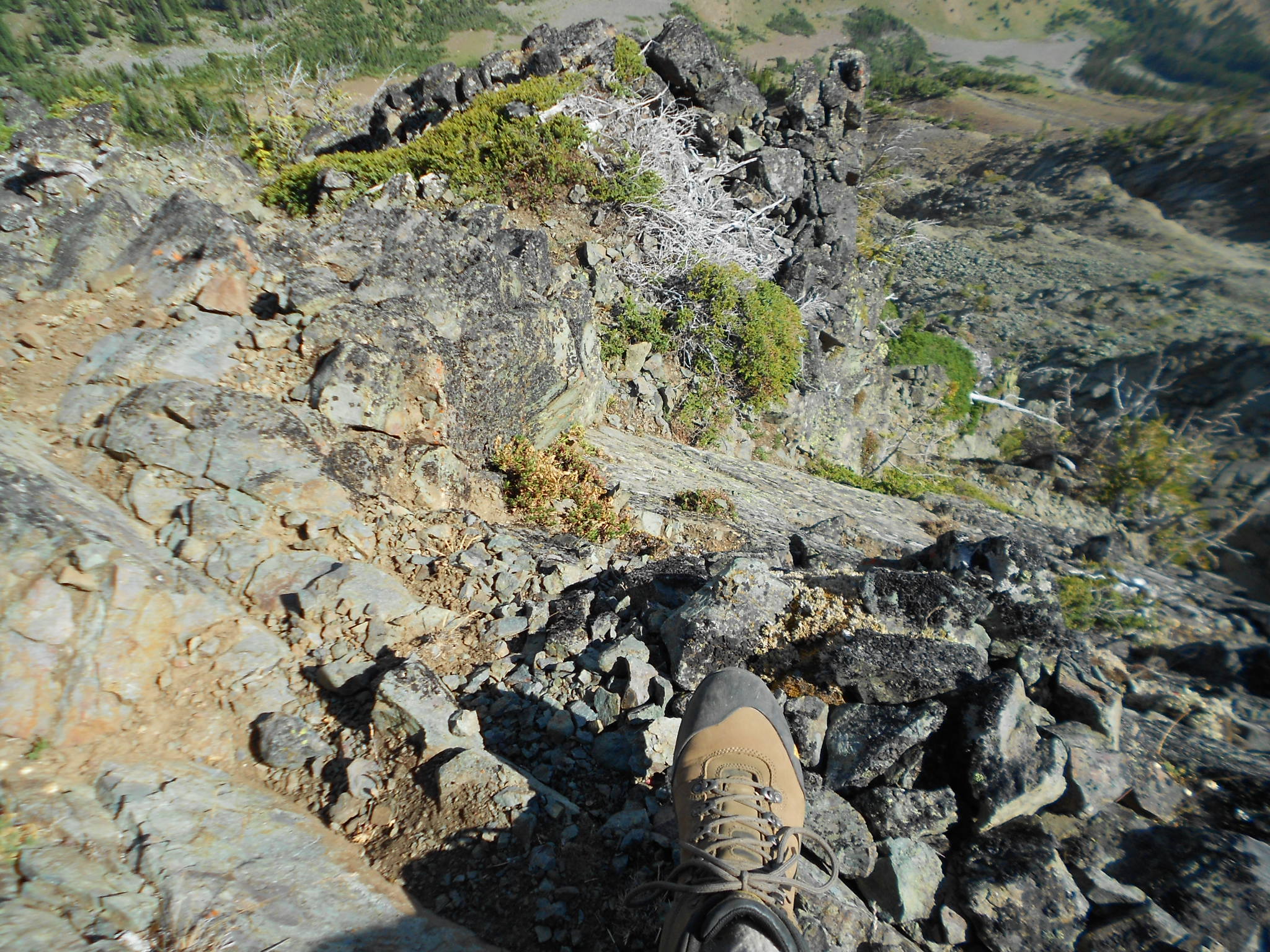
Hmm, hope I'm not going bald, that weird spot in middle is making me nervous now...
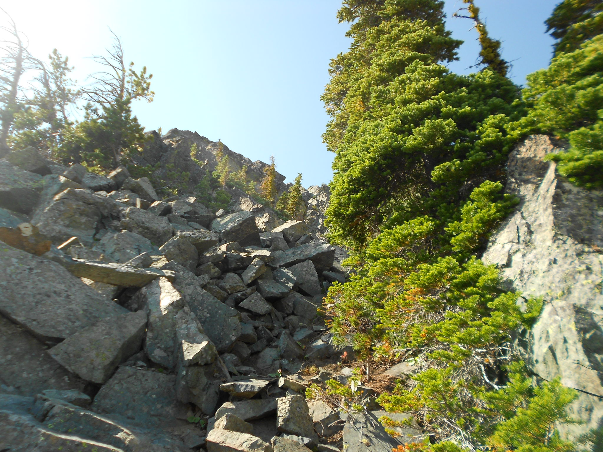
Have to go up this way I guess...
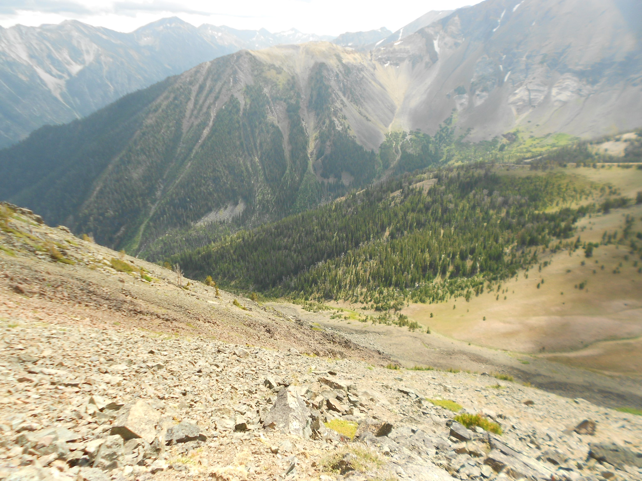
Looking down again...
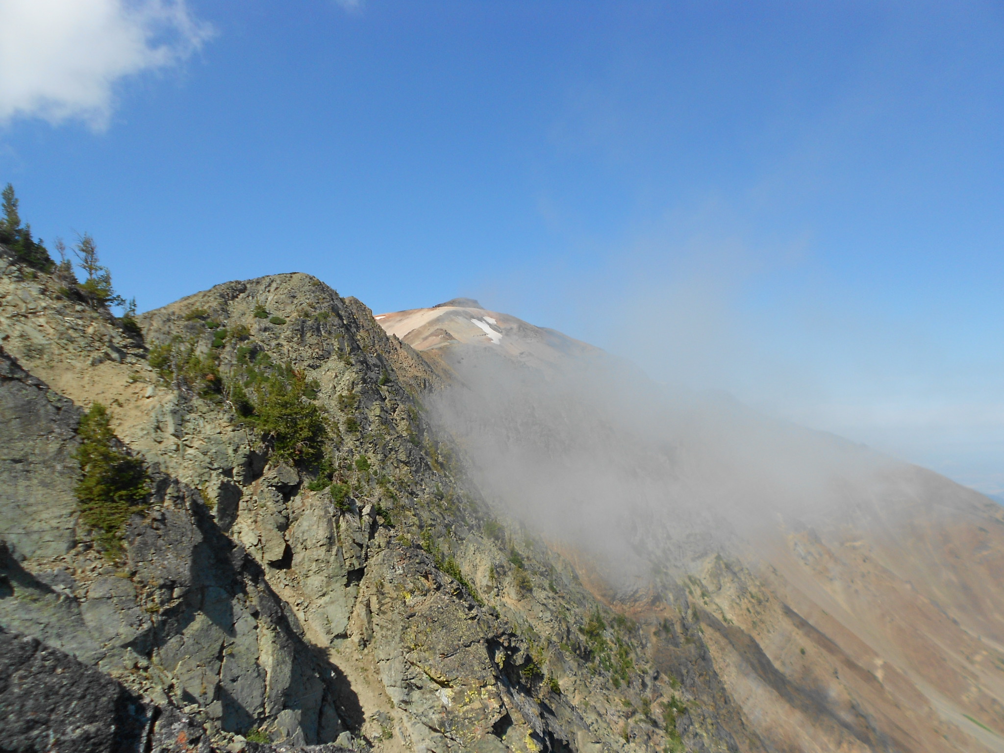
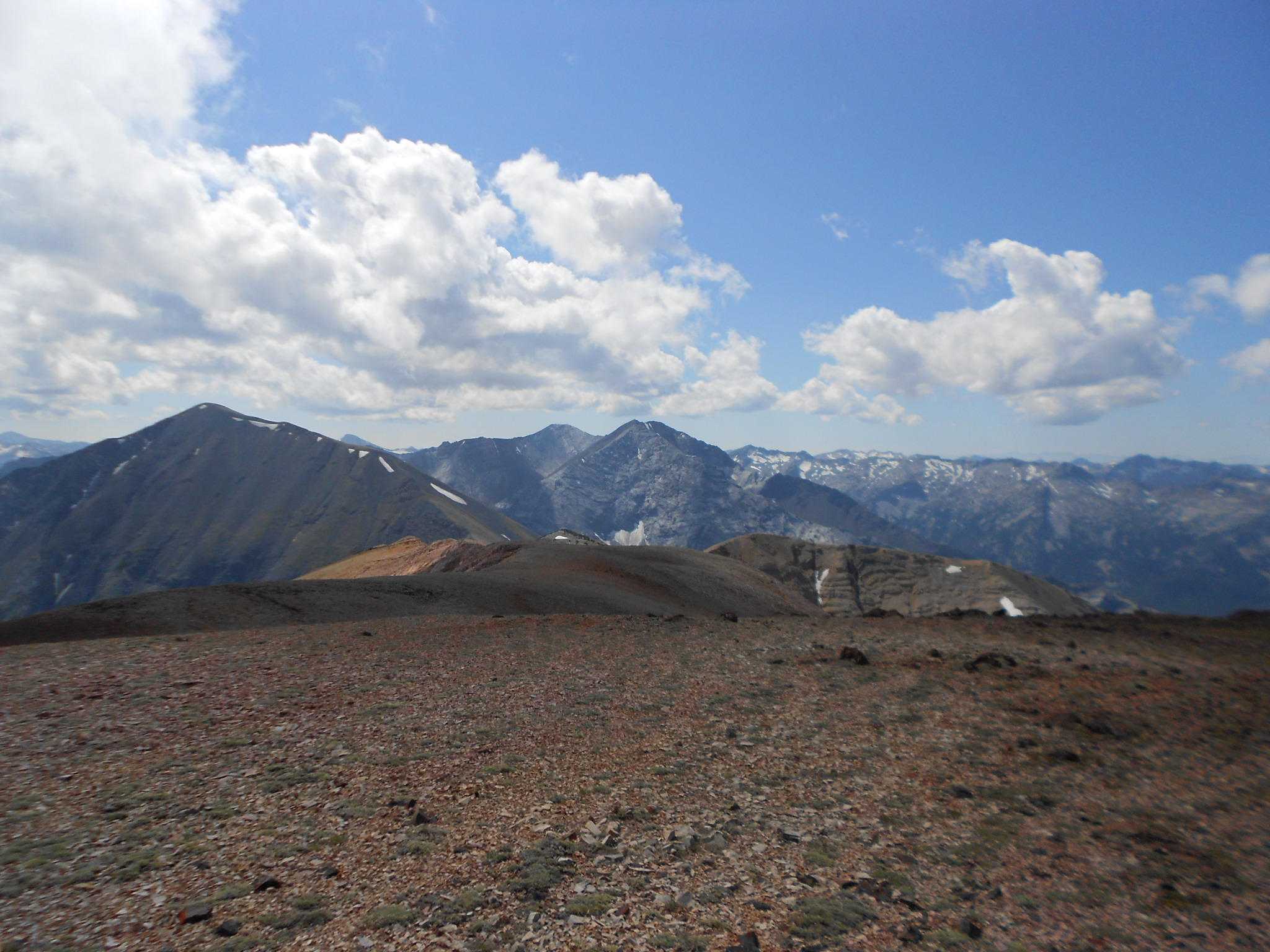
Chief Joseph Point, still about a mile away...
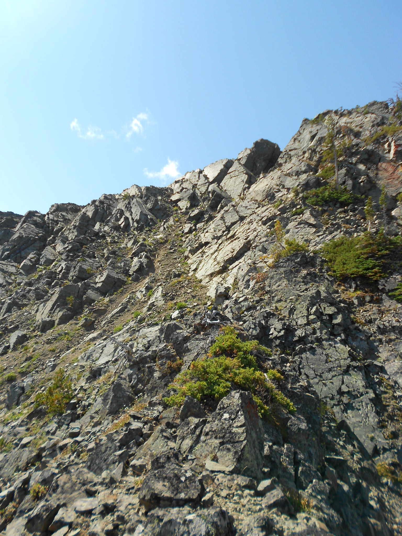
Final ascent to make the ridge, this was scarey to me...
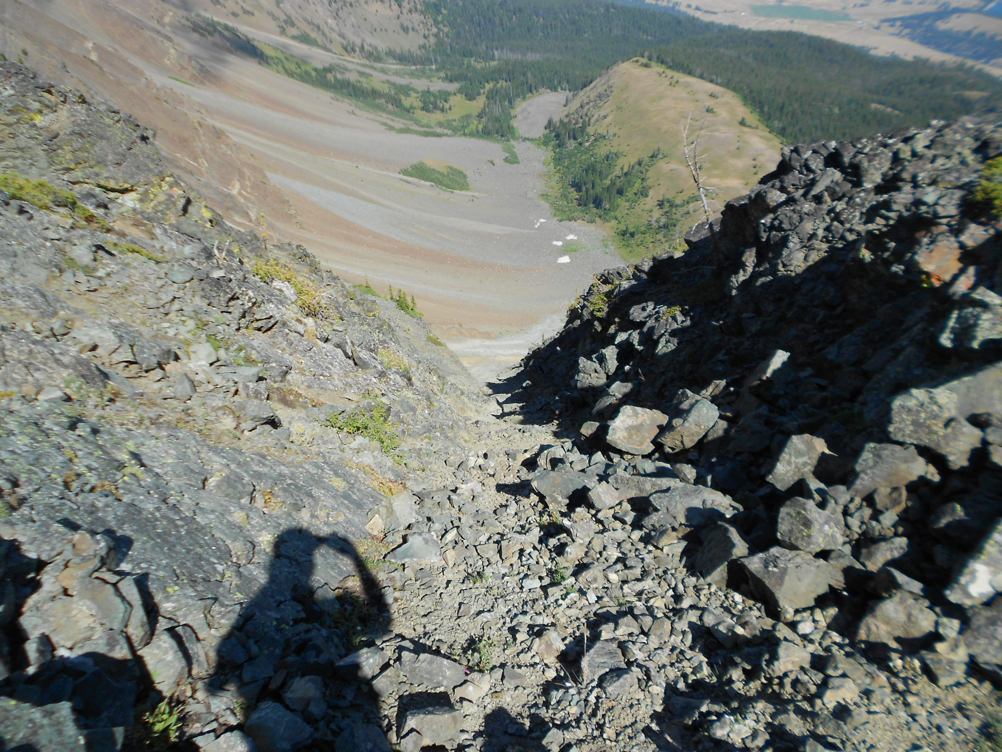
Looking down a steep chute...
Lots of room for a helicopter landing under Point Jossph
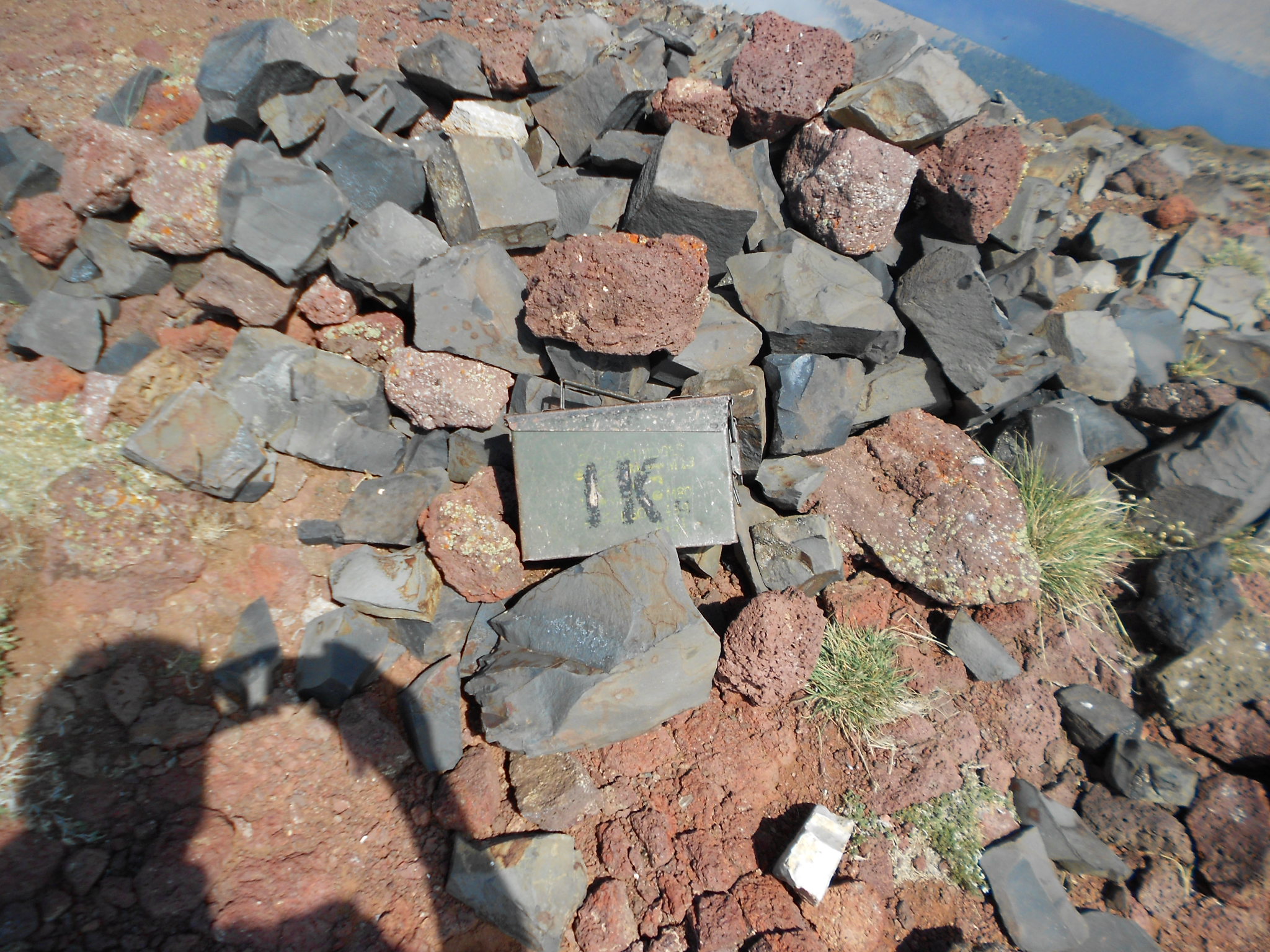
Summit register box
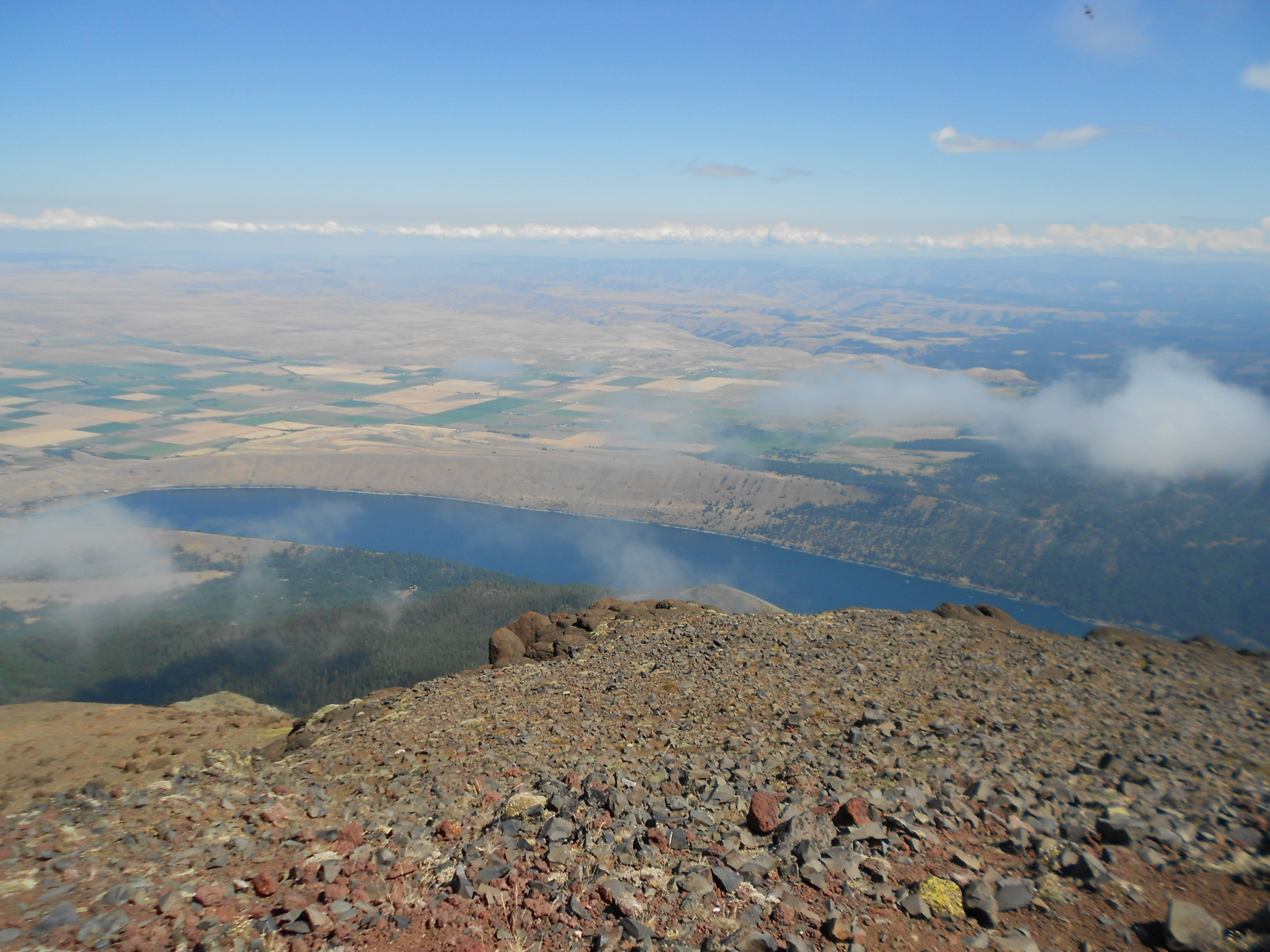
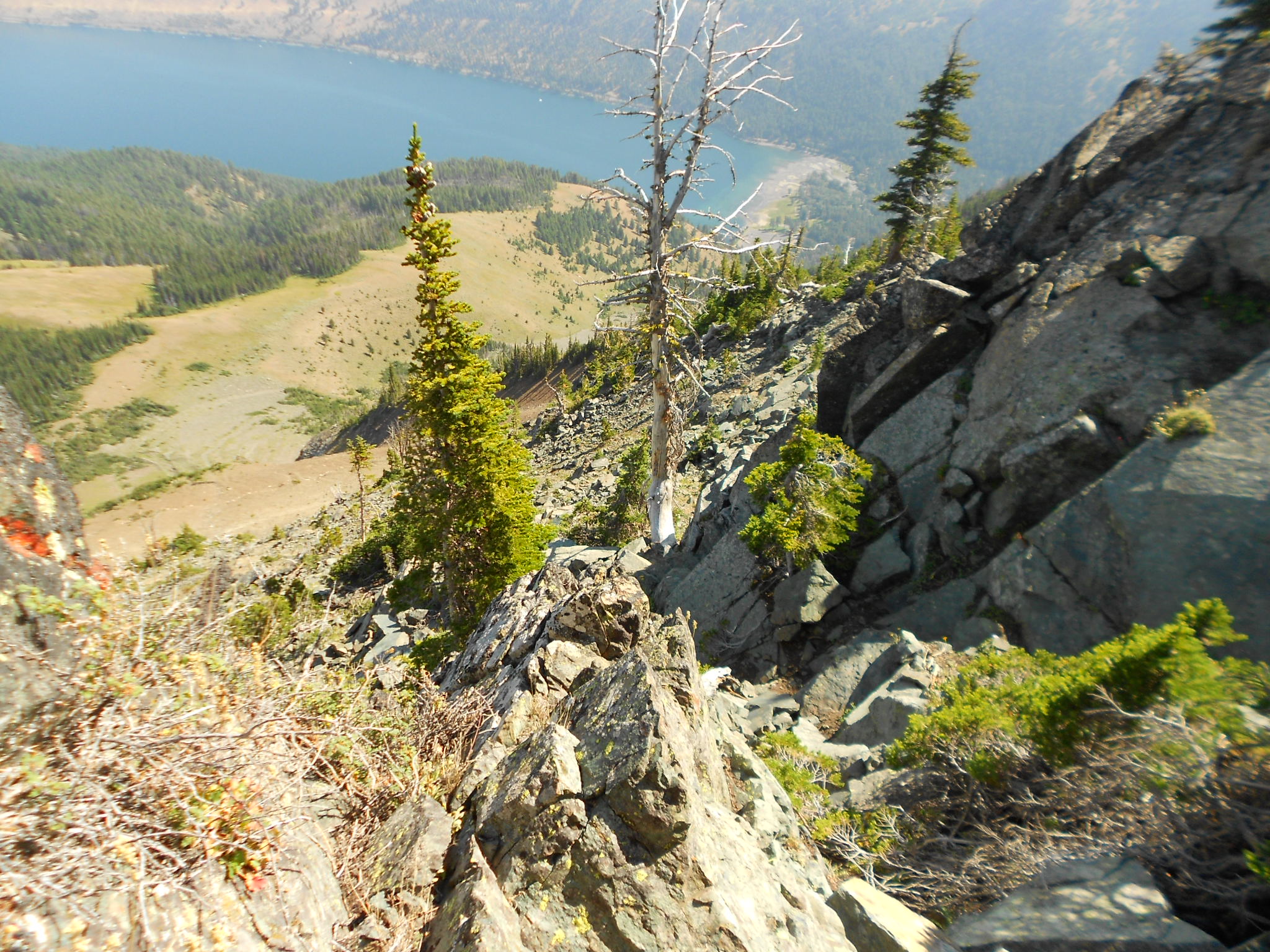
Wallowa Lake from Point Joseph
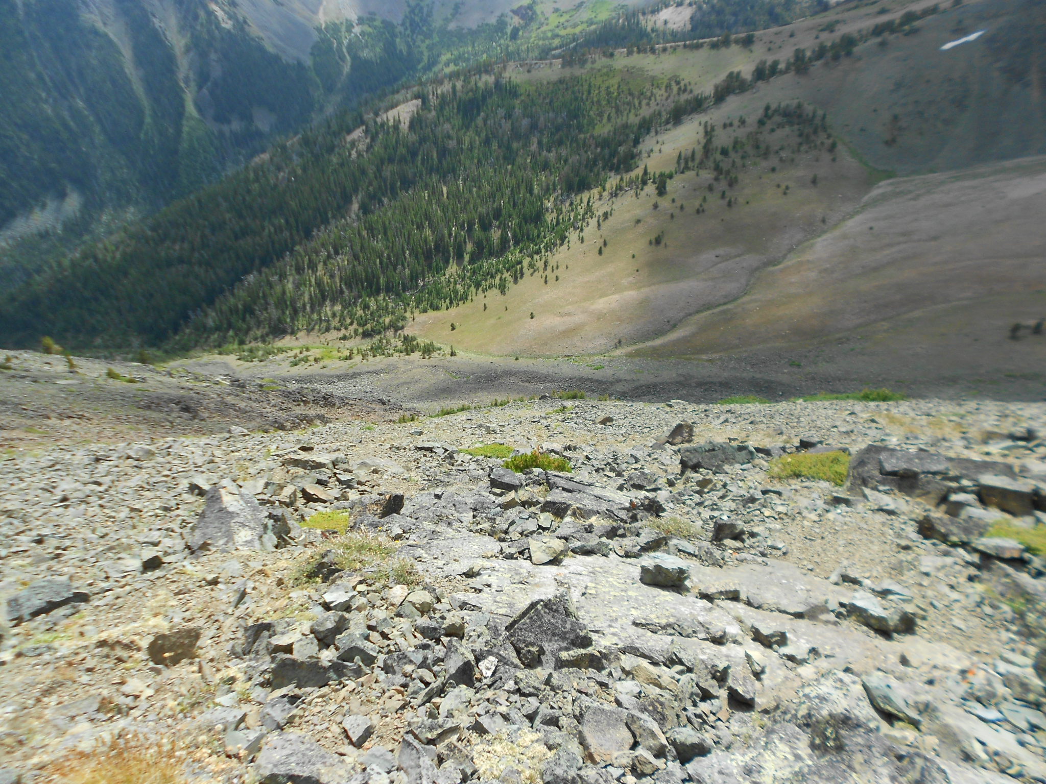
Have to go down this to get into the BC Creek drainage, ugh...
More ugh, and the end of my picture taking for the day, time to concentrate on just avoiding a night in the cold woods!