
Decided to go for something a little different today, and headed for the Tillamook State Forest. I've been eyeballing the hikes around Elk and King's Mountain, but am not quite ready to tackle those yet. Instead I picked something nearby and very moderate from a map that I have of the area, and went with the Storey Burn Trail.
I drove west to Rogers Camp from US26, turning left off of Highway 6 after about 16 miles, and up into the parking area, amid folks who were fixing to get their dirt bikes (motor) out on to the trails.
From there we crossed US26 and picked up the Gales Creek Trail Head, heading east for about 2 miles. This was mostly downhill hiking through Gales Creek bottom. It was an enchanted mossland in there, I tell ya. The only people we came across the whole trip were along there - three guys playing with their RC trucks and running them up a little creek. It looked quite fun! Once arriving at Gales Creek campground, we took a left thus continuing north on the Gales Creek Trail for another 0.8 miles to the Storey Burn Trail Head. Along that section we heard what sounded like gun shots, but as we found at the junction, there was blasting ahead along the Gales Creek Trail. I guess that's why that portion of the trail was closed.
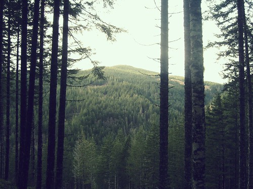
This is where the work begins as the Storey Brook Trail ascends above Gales Creek and west for 2.3 miles back towards Storey Burn Road. The change of landscape here was most welcome, with a couple of small waterfalls along the way. There was some evidence of snow, but very little. It was just nice to see. Once you reach the road, you have to jog to the left just a bit to pick the trail up again. Unfortunately, I didn't pay close enough to the signs and picked the wrong path. The trail you want is marked with a wooden sign, just to the right of the parking area. We walked past that, got on a little side road that heads up to the 2000' plateau. I believe this a little side loop that's used for biking, as it was marked one way. About 10 minutes along, I noticed a trail below down to the right of us, and second-guessed my paying-attention skills. So we backtracked the parking lot, and found the Storey Burn Trail. This was a pleasant stretch as some views to the north opened up, and you could see some of the smaller mountains in the area, some with traces of snow still. The blue was starting to break up the clouds as well. Eventually, you come across a dicey area covered in small sliding rocks, and you begin to descend back quickly towards Highway 6. Eventually, you cross under the highway, then over a motorized bike trail, and into a very wet river bed. It was there where I saw something moving, which turned out to be 3 elk! They here huge, and once they realized we were there, they moved out quickly. This was funny because I had just been lamenting how nice it would be to see some elk. I willed it with my mind!
Eventually, you come to the Gravelle Brothers Trail, and take a left, ascending steeply up to an abandoned service road. There you take another left, and you come upon the gravel pit at Rogers Camp. From there you find your way back to the parking lot.
This was about 6.5 miles in length with maybe 1200 feet of elevation gain. If you're looking for a modest hike to break into the season with before you tackle some of the big boys, and want something different from the gorge, this is a great place to go - especially for rainy/cloudy days. It's really not much time to get out there. My legs are just sore enough, but I'm far from being rendered useless today.
Here are some pictures:
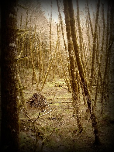
Gales Creek
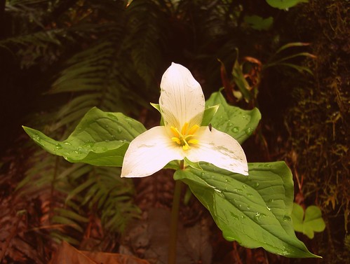
Trillium - not too many flowers present...
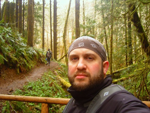
That is I...
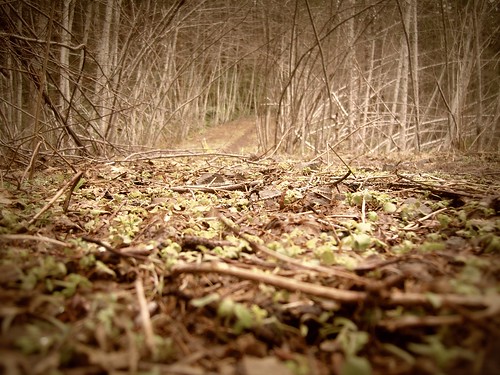
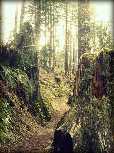
This was a cool spot with the path lined on either side, and where I realized we'd missed a turn.
Opening...
All pictures are here: http://www.flickr.com/photos/iamchadhea ... 629403780/