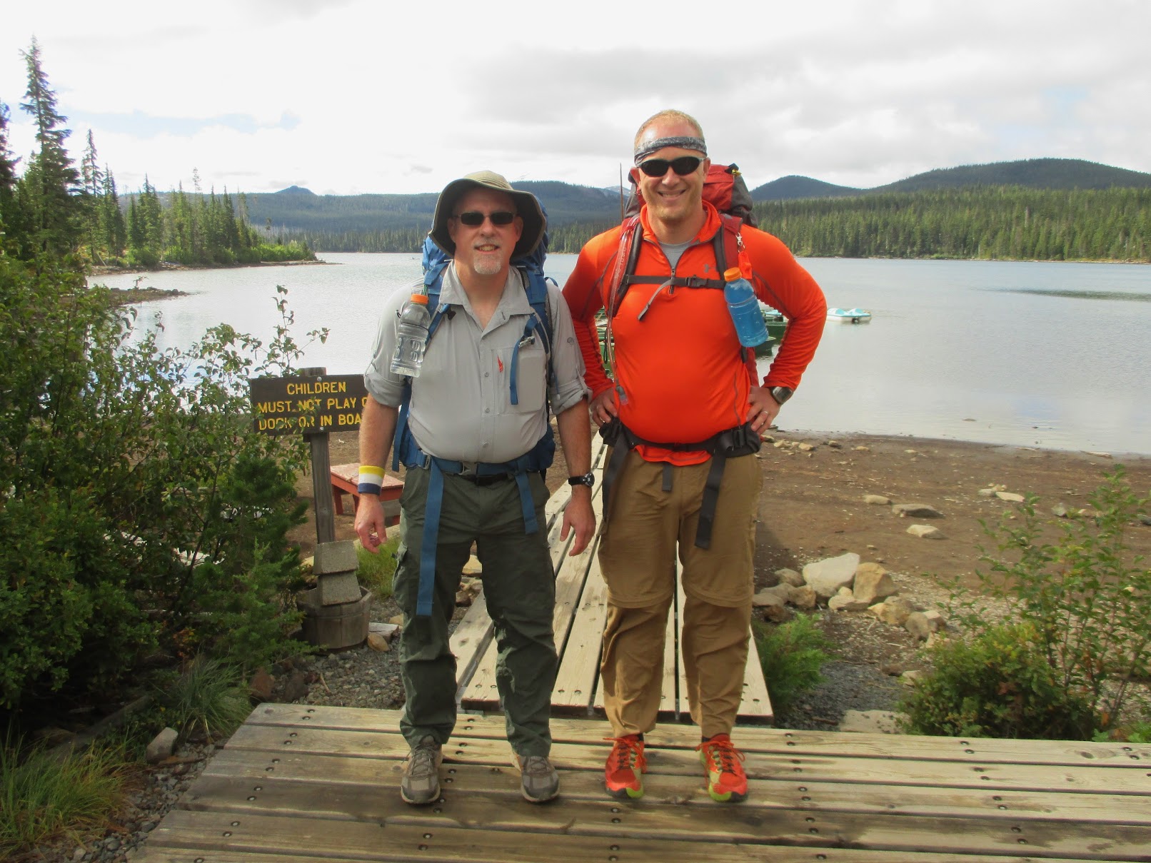
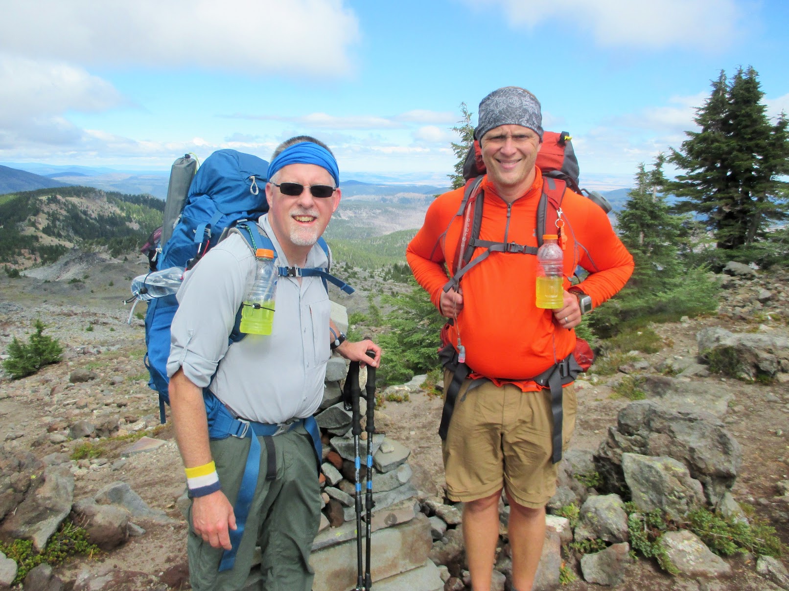
2016 PCT section hike (9/3 - 9/7)

This forum is used to share your experiences out on the trails.
Chazz
Posts: 321
Joined: May 26th, 2013, 12:53 pm

2016 PCT section hike (9/3 - 9/7)

Post by Chazz » March 1st, 2017, 3:44 pm

This trip report represents a continuation of my section hiking of the length of Oregon on the Pacific Crest Trail over a period of four years.

Last year's report can be found here: http://www.oregonhikers.org/forum/viewt ... =8&t=22820

The intention this year was to go southbound from Ollalie Lake, which was the starting point of last year's northbound hike, and wind up at Highway 58 (Odell Lake) in seven days.

___________________________________________________________

Day 1:
My parents picked up my hiking partner (Dutch) and I at 7am and we drove to Ollalie Lake. We followed the
directions posted by the Ollalie Lake Resort rather than last years use of Google Maps, which resulted in a much smoother ride.

We arrived, took a couple pictures and were on the trail by 10:30am, headed towards Breitenbush. But unlike last year's blue-sky weather, the high-layer cloud cover made for a day of hiking without some of the spectacular views that you would want.

Ollalie Lake
Image

Upper Lake
Image

Pyramid Butte in front of Ollalie Butte
Image

Rocky trail
Image

A fairly bold and aggressive doe harassed us while we stopped for a drink and a brief rest where the PCT crosses the road to Breitenbush Lake.

Breitenbush Deer
Image

The climb from the Breitenbush trailhead was not steep but did not ever flatten much. We were definitely winded by the time we made it up to the top of the ridge at ~6800 feet. Jefferson Park was spread out far below and the peak of Mt Jefferson was obscured by the layer of clouds that would shroud it all day. The trail down into Jefferson Park was just as the field guide had described:steep, uncomfortable and somewhat treacherous due to the large chucks of rounded rock that you had to walk on.

View east climbing up from Breitenbush
Image

Breitenbush Pass
Image

Image

Mt Jefferson
Image

It was easy walking through Jefferson Park and we encountered a large number of day hikers, weekend backpackers and thru hikers as well as a group of horses. Because we did not have a permit, we continued on and camped at a large pond on the west slope of Mt Jefferson (PCT-2027).

The cloud layer never did lift from the top of Jefferson but it did offer a fantastic sunset as a consolation
prize. Dinner and some hiker cocktails were consumed. Sleep, as typical on the first day of a long trip, was
poor but I did wake up in the middle of the night to clearly see the top of Jefferson by the weak glow of a half-moon.

Sunset on west slope of Mt Jefferson
Image

Image

Logging time: 7:28:17
Moving time: 5:29:39
Distance travelled: 15.8 miles
Average moving speed: 2.9 mph
Minimum altitude: 4852 ft
Maximum altitude: 6843 ft
Altitude gain: 2446 ft

Chazz
Posts: 321
Joined: May 26th, 2013, 12:53 pm

Re: 2016 PCT section hike (9/3 - 9/7)

Post by Chazz » March 2nd, 2017, 8:02 am

Day 2:

Wake-up time was 6am and it was a cold morning. Probably mid-to-high 30's and the proximity to the pond left a lot of dew and condensation on everything. Tents were collapsed and packs filled and we put in a couple miles to Milk Creek before we stopped for water, some breakfast and hot coffee. While it had cleared up at night, it was again overcast in the morning with clouds in constant motion around Mt Jefferson. There was a 30 second period while at Milk creek where we could look up the ravine and see all of the mountain but by the time I was able to get my camera, it was gone. And then the clouds and a breeze took over for the rest of the morning and well into the afternoon.

Pamelia Lake
Image

Pamelia Lake was spotted far below but the clouds hid so much of the landscape around us. This day was truely hiking along the Cascades crest between Jefferson and Three Finger Jack so we were high on the ridgeline looking down to the east and west frequently. Sadly, there was such poor visibility that the viewpoints we encountered were mostly underwhelming.

Shale Lake
Image

Unnamed Cinder Peak Crater
Image

South Cinder Peak
Image

Cinder field
Image

The first real burn area of the trip was encountered around noon, between North Cinder Peak and Rockpile Lake. With the clouds blowing through in ragged patches, it was an eeriy thing to see. We would soon become far more familair with the sight and experience of burn areas.

Burn Zone
Image

As I am a bit of a geology geek, I saw some really cool things, including what looked like the traces of an old pyroclastic flow that had splashed up against and coated an older basalt outcropping. Over millenia, that flow had begun to crumble away and you could see both the old rock and it's newer volcanic shell.

Pyroclastic Splash on Basalt
Image

Rockpile Lake was reached by about 3pm and we filled bottles and bellies with with water. There would be a long break before the next water source was to be found (~16 miles). By the time we left Rockpile Lake and the peak looming above it, the clouds started to clear to the east and south, granting a clear view of the devastation that was left in the wake of the 2003 B&B fire.

Black Butte from Minto Pass
Image

TFJ from Minto Pass
Image

It was here that we also got our first partial view of Three Finger Jack (TFJ), though like Jefferson the day before, it's peak was hiding among clouds. We continued south and the cloud layer disappeared to the east but hung on tenaciously to the west of Minto Pass. It was a good thing that the temperature stayed within the 50's because the direct sun and higher temps in that section would have been brutal with the lack of tree cover.

Wasco Lake.
Image

The closer we got to TFJ, the more the clouds were burning off, until there were just shreds enfolding the highest point.

Canyon Creek Meadow below TFJ
Image

Three Finger Jack - North(1)
Image

Three Finger Jack - North (2)
Image

Once the switchbacks leading from the north ridge to the west side were topped, a tent spot just below the crest was found, and after shoo'ing away a deer, we settled in for the night with a dry camp (PCT-2005).

Deer at campsite
Image

Day 2 Camp
Image

Logging time: 11:10:08
Moving time: 6:49:18
Distance travelled: 21.7 miles
Average moving speed: 3.2 mph
Minimum altitude: 4252 ft
Maximum altitude: 6459 ft
Altitude gain: 3854 ft

hippiebutterfly
Posts: 6
Joined: February 27th, 2017, 8:55 am

Re: 2016 PCT section hike (9/3 - 9/7)

Post by hippiebutterfly » March 2nd, 2017, 9:35 am

This is amazing. I hope you'll post more. My husband and I are planning a trip from 3 Sisters to Breitenbush CG in late summer. Your pictures are really making me super excited to go! Not that I wasn't already....but now even more so! :D

Chazz
Posts: 321
Joined: May 26th, 2013, 12:53 pm

Re: 2016 PCT section hike (9/3 - 9/7)

Post by Chazz » March 2nd, 2017, 1:23 pm

Day 3

It was definitely cold again at night and I ended up sleeping with my puffy jacket on to keep warm. As normal, Dutch and I got up at 6am and packed up. Because it was a dry camp and we did not expect to get to water until well past Hwy 20, we chowed down on some packaged pasteries but no coffee. Just as we got on the trail at 7am, the last of the cloud shrouding TFJ just disapated and we were treated to the full glory of that red-banded peak bathing in morning sun.

Sunrise on Peak of TFJ
Image


The clear skies also meant it was still quite cold so we both were in jackets and gloves and we noticed frost coating the black sand in the open areas.

Jefferson_from_TFJ_flank
Image

Moving along the west flank of TJF, we got more views of the weathered volcanic peak and some resident mountain goats.

West Slope of TFJ
Image

Goats on TFJ(2)
Image

Goats on TFJ(1)
Image

The morning was clear and blue-sky brilliant and even the chilled air was welcome as it kept us from sweating as we made our way off the mountain, towards Hwy20.

3Sisters and Mt Washington from TFJ
Image

Mt Washington and Hoodoo
Image

We quickly moved off the flank and into more burn as the trail descended out of the forest. It was in the burn that we found an unofficial PCT 2000 mile memorial.

PCT_2000_Marker
Image

The trailhead and parking lot at Hwy20 was reached around 10:30am and we had the luxury of a picnic bench to sit down, refresh the leukotape on our feet and use a toilet with a seat. How quickly these things become simple pleasures... I even managed to yogi some water from a couple guys who were headed up to do some climbing on TFJ. First yogi ever!

Rest time was soon over and we crossed the highway and headed towards a lunch date at Big Lake Youth Camp (BLYC), where we had shipped a resupply box and arranged for Dutch's sister to pick us up and feed us at her family's camping spot along Big Lake.

Hwy 20 PCT crossing
Image

Big Lake Youth Camp
Image

After a quick shower (Thank you to the generous people at BLYC, you are awesome and greatly appreciated), we were treated to all-you-can-eat elk spaghetti and beer and a chance to do some camp laundry. We probably spent too much time lounging in the warm sun in clean clothes but it was eventually time to get back on the trail. We were driven back around the lake to BLYC and were moving again by 4:20pm. The direct sun and a general lack of trees due to intermittent burn areas made for a fairly hot late afternoon but the scenery was incredible.

Mt Washington(1)
Image

At 6pm we decided to stop at a flat area just off the trail in a meadow looking straight up to the top of Mt Washington (PCT-1989). We probably could have gone further but there did not look to be a good spot for another several miles.

Mt Washington from camp
Image

Belknap Crater.JPG
Image

Camp was pitched and because we had gorged on spaghetti earlier, we only ate one package of Mac and Cheese with spam between the two of us. As the sun set, clouds could be seen rolling in from the west.

Logging time (hr:min): 11:18
Moving time (hr:min): 5:29
Distance travelled: 17.6 miles
Average moving speed: 3.2 mph
Minimum altitude: 4626 ft
Maximum altitude: 6454 ft
Altitude gain: 1408 ft

Chazz
Posts: 321
Joined: May 26th, 2013, 12:53 pm

Re: 2016 PCT section hike (9/3 - 9/7)

Post by Chazz » March 2nd, 2017, 1:52 pm

Day 4

Another cold night! I am starting to think that I did not buy the right quilt. The 20 degree down quilt versus
my new 30 degree synthetic from Enlightened Equipment is looking like the choice I should have made.

I had unloaded a few items with Dutch's sister the previous day that I am also starting to regret, like a thick fleece sweater and umbrella. The weather report had indicated higher temps but the grey, overcast sky that greeted us early that morning did not seem to say "warm day ahead!".

Normally, Dutch and I like to pack up and get on the trail for a hour or so before eating, just so we can warm up, but because I had spent so much of the night shivering, I was famished. Dutch headed out and I stayed to gulp down some granola and put some trail mix calories in my belly before I felt ready to walk.

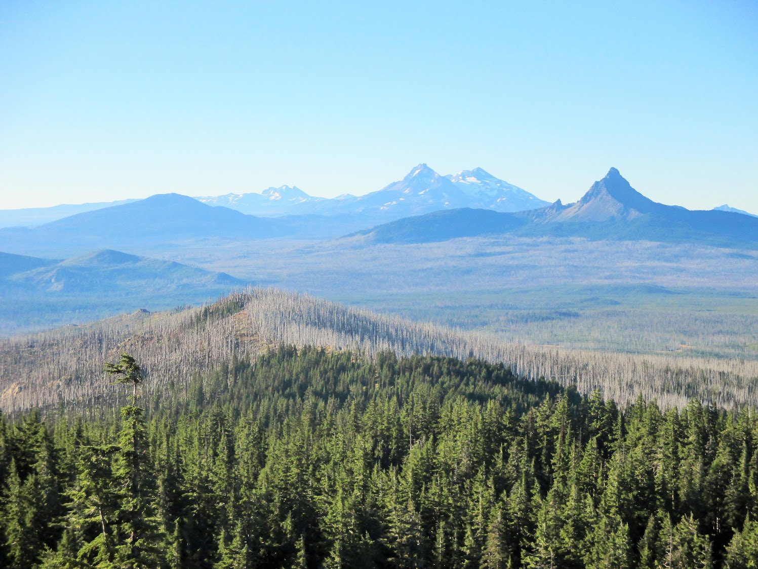
The first 30 minutes of any hiking day are always the hardest, in my opinion. You are cold, sore from the previous day's exertions, and the food has not yet kicked in to get your blood sugar levels elevated. Add in the grim clouds and entering another large burn area and I was in a crummy mood, which was not ideal because today and the next day were supposed to be the crux of the entire trip: hiking through geologically recent lava flows and through the Three Sisters wilderness area. I had been looking forward to it all year.

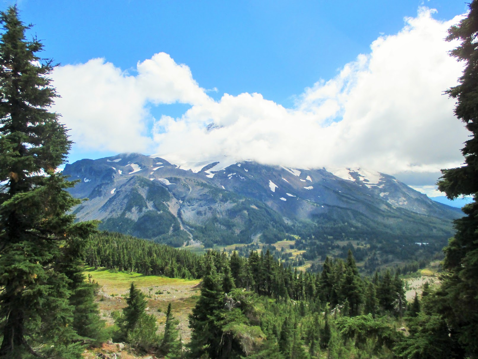
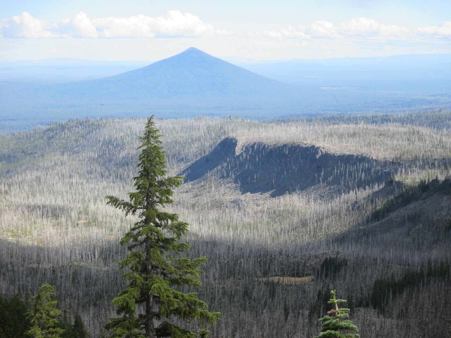
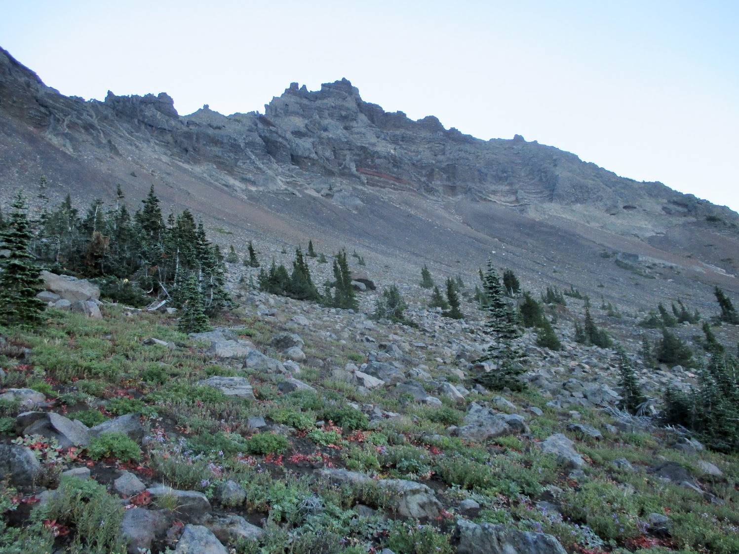
Within minutes of starting, I left the southern forested slope of Mt Washington and emerged into the burn zone between it and Belknap Crater, and headed towards the huge lava flow area that surrounds the cone.

Approaching Belknap Crater
Image

Start of the lava flows
Image

I met up with Dutch just at the edge of the lava, where he had stopped to eat. We debated making coffee but we did not have a lot of water left and we had a good distance to go before the next place where we could get some, so it was decided to conserve. Just as we were preparing to move on and climb up Belknap, it started to sprinkle and the wind picked up. We both put on raingear and got moving. Thus began a long and fairly miserable day of cold wind and rain.

There would be little photographic evidence of the day as it was so wet so consistently so that I took the camera out for pictures only very rarely.

Walking through the Belknap flow, I just amazed was at the tortured land and the how the trail was crafted to traverse it. You could be walking next to a huge hump of porous stone and a couple yards later you would
encounter a 30 foot deep pit with a lone pine tree growing in the middle. Sadly, I saw but a small prortion of this landscape with the mists and fog blowing across it. The trail was also quite treacherous, with the surface consisting of fist-sized rounded lava chunks that rolled around dangerously with each step. I was definitely glad to have hiking poles.

A morning of slow walking through this terrain and we finally reached Hwy 242 at about 11am. The rain had trailed off to a light misting but it was still cold. It was decided that we needed a hot meal to recharge from the morning so we made up another meal of Mac and Cheese with spam with most of our remaining water as we only had another four miles to go before the next place to get water. We huddled around the stove, eating directly from the pot, and watched as three thru-hikers got dropped off. They had hitched into Sisters for resupply and hitched back to the trail. We chatted for a few minutes, bid each other good luck, and proceeded to cross the highway and back into more lava flow. It was at this point that I noticed my shins were starting to feel tight and sore from all the rolling on uneven and unstable surfaces.

Leaving_lava_flow_at_Hwy242
Image

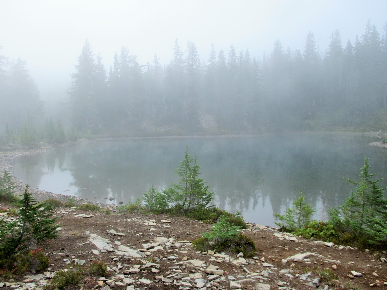
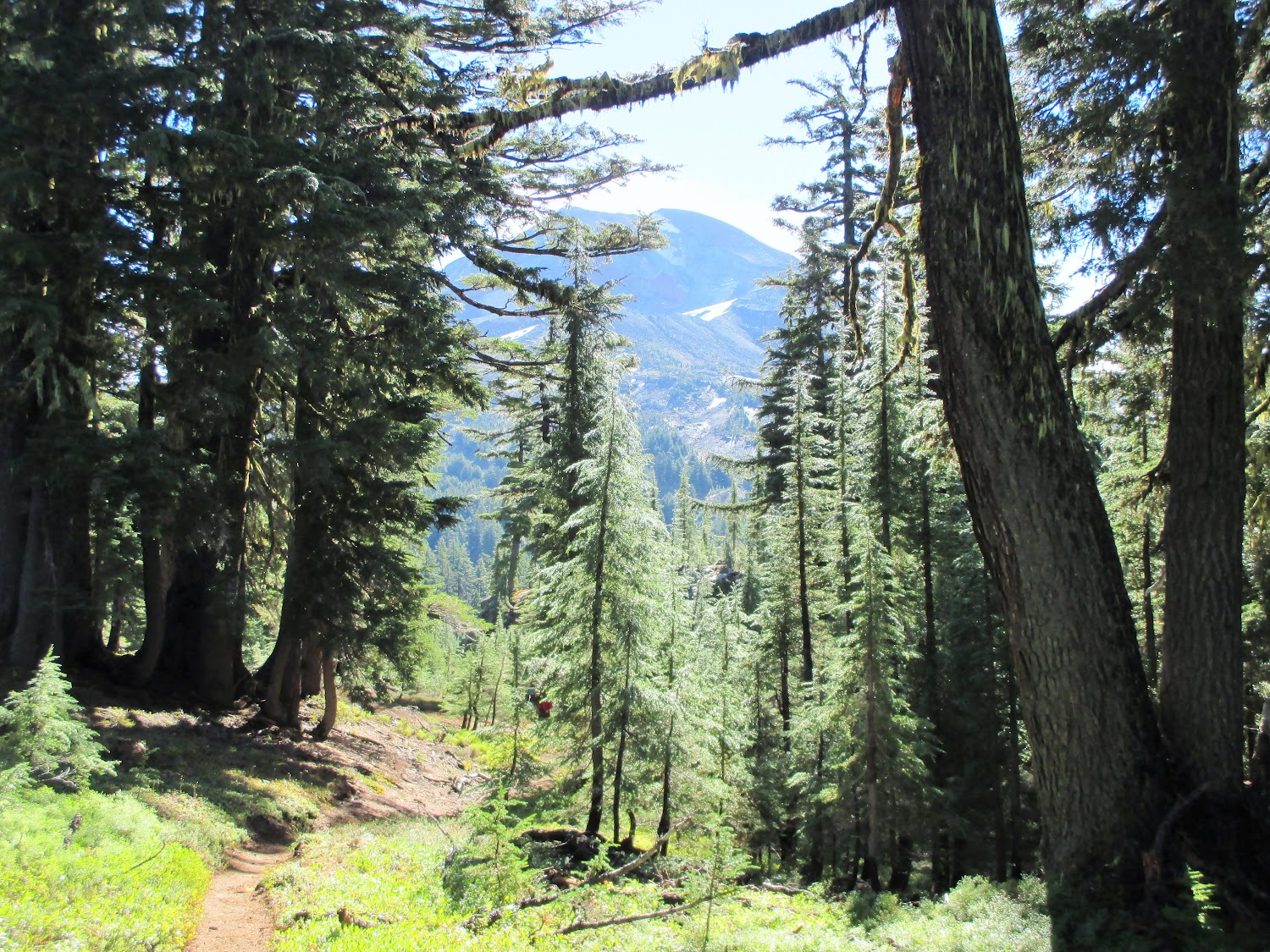
Fairly soon, we finished the Belknap flow and moved in the blessed protection of forest, heading towards South Matthieu Lake. While we were in the forest, we could hear the wind picking up and blowing the top of the trees. When we arrived at the lake, we got the full force of the wind and the rain blown by it. I would have loved to get back in the forest but we were completely out of water so we spent 20 frigid minutes going back and forth between a copse of trees and the lake, using a pot to fill up the dirty water bag to filter into our clean bottles. The lake surface was driven hard by the wind, which stirred up quite a bit of sediment close to the edge. Had I not had a pre-filter on my filtration system, it would have completely clogged my Sawyer filter. As it was, we had to wash sediment out of the pre-filter a couple times just keep the water flow going.

The rest of the afternoon was a combination of forest and lava flow, constantly experienced with rain and wind.

The day culminated at the top of Opie Dildock pass. The rain had briefly stopped and we got few brief moments of the sun trying to shine though the clouds, giving a odd glow to all the red pumice and grey volcanic stone around us. I wish I had taken a picture looking down the pass because from on top, it looked crazy steep. Going down, I came to appreciate how steep it was as my ankles were continuing to hurt with the slick, uneven surface and the grade of the trail.

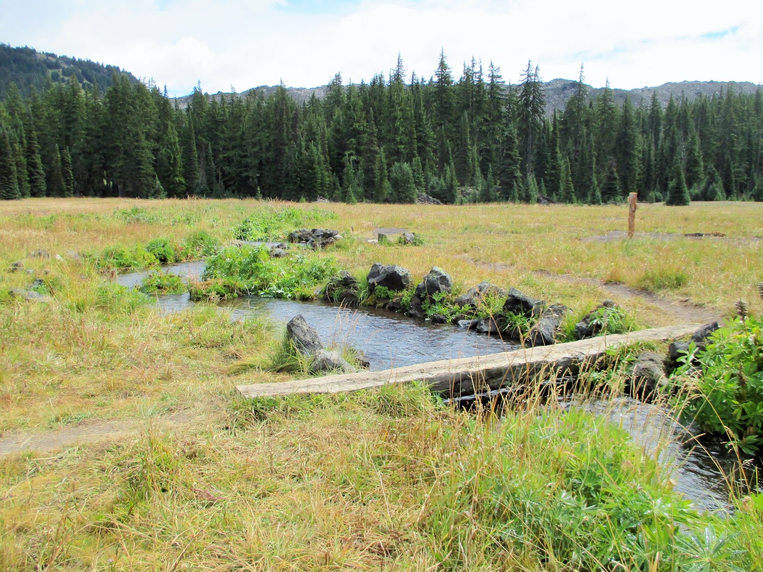
We entered the Obsidian restricted wilderness area and topped up water at Obsidian creek.

Obsidian Limited Entry Sign
Image

Obsidian boulder
Image

At 6pm, we were tapped. The cold and wet had forced our breaks to be short, lasting only long enough to gulp down food to replenish calories before chill set in and drove us onward. We stopped at PCT-1970, where there was a user trail down to a copse of trees and camping spot that we could shelter under. We helped each other set up tents quickly in the rain, cooked another hot meal of dehydrated rice and chicken, had a couple shots of dark rum, and then headed off to a long night in our tents. My ankles were extremely tender at this point and my morale was at an all-time low.


Logging time (hr:min): 10:04
Moving time (hr:min): 6:35
Distance travelled: 19.1 miles
Average moving speed: 2.9 mph
Minimum altitude: 5192 ft
Maximum altitude: 6835 ft
Altitude gain: 3336 ft

User avatar
mjirving
Posts: 1185
Joined: July 5th, 2011, 10:40 am

Re: 2016 PCT section hike (9/3 - 9/7)

Post by mjirving » March 2nd, 2017, 9:59 pm

Great report! I can never get enough of the PCT!

Mike (aka GoalTech)

Chazz
Posts: 321
Joined: May 26th, 2013, 12:53 pm

Re: 2016 PCT section hike (9/3 - 9/7)

Post by Chazz » March 6th, 2017, 8:02 am

Day 5

I've complained about the past nights being cold but this was the coldest. I had on every piece of clothing that was dry and some that were not. It was also one of the longest as we had gone to our tents earlier than normal. Sometime in the early morning, the rain had stopped and the clouds had started to part, which dropped the temperature even more. Dutch had ended up in a bad spot and quite a bit of water had pooled up on the ground and ended up in his tent so several items including the foot of his quilt were very wet.

At the regular waking time, we both emerged from our tents. The scenery around us was surprising in that the cloud layer had been so low that we did not know exactly how close the the north Sister peak we were the previous day.

View from camp(1)
Image

View from camp(2)
Image

Looking down at the meadow below our camping spot, we could see ice glitering on the brush but we could see the north Sister above us with some clear skies so we knew that things would warm up. Wet gear was packed up and we headed out.

Obsidian everywhere
Image

Obsidian Falls
Image

We were both moving very slowly this morning and after exiting the Obsidian restricted area, we found an open area next to a small stream with full sun to sit down. We made coffee for the first time in a couple days, ate a hot oatmeal breakfast and left gear out to dry in the newly risen sun. It was here that we discussed our condition. I was suffering from some swollen and painful ankles, and Dutch had the same along with pain afflicting both knees. With 60 miles to go until our planned exit, we both accepted that obstinately sticking to the initial plan would not be pleasant or smart and that we could make arrangements for pick-up at Elk Lake instead. It was a hard decision to make after all the year's preparations but once made, a heavy weight was lifted. I had been thinking about the condition of my ankles since the previous day and another three days on them was not sounding enjoyable.

After watering up, getting caffinated via delicious warm coffee, and enjoying direct sun on my skin, the day was starting to look up. It turned out that this last day on the trail was everything the previous day was not: clear, warm, and a lot of great views.

Middle Sister from trail
Image

Middle Sister
Image

The hike through the Three Sisters wilderness, heading south after Obsidian Falls, was incredible. Soft trail, beautiful forest, and exquisite scenery. Strangely, it was here that I saw my first PCT blaze.

PCT blaze
Image

North Fork Mesa Creek
Image

Rock Mesa and Wickiup Plain
Image

Wickiup Plain
Image

A lot of thru-hikers were being encountered today, and after making the decision to bail, Dutch and I were both holding on to a lot of extra food. I found a trio of hikers sitting out in the middle of Wickiup Plain taking a siesta so I decided to gift them with gouda cheese in wax, triscuits, shelf-stable salami, 4oz of rum, chocolate-covered espresso beans and M&M's. They were obviously bummed that was all I gave them.

Thru-hikers in Wickiup Plain
Image

Despite the day being so much better than the one before, it was a painful slog and I found myself putting more and more weight on my poles as the day passed.

View from Koosah Mt
Image

At PCT-1951, we reached the side trail to Elk Lake and headed back towards civilization.

Elk Lake Trail
Image

Elk Lake Resort sign
Image

Elk Lake final(1)
Image

An awesome hamburger and beer was consumed at the resort and Dutch's sister drove us back to Bend, where we rented a car and drove back to Portland.

Logging time (hr:min): 9:33
Moving time (hr:min): 6:27
Distance travelled: 20.7 miles
Average moving speed: 3.2 mph
Minimum altitude: 4928 ft
Maximum altitude: 6644 ft
Altitude gain: 1826 ft
Last edited by Chazz on March 6th, 2017, 8:15 am, edited 1 time in total.

Chazz
Posts: 321
Joined: May 26th, 2013, 12:53 pm

Re: 2016 PCT section hike (9/3 - 9/7)

Post by Chazz » March 6th, 2017, 8:14 am

Final thoughts:


Dutch and I completed 95 miles (92 PCT miles), which is well short of the intended distance. All the same, it was a tremendous time and I look forward to another section in 2017. I'm also pledging to re-hike from Hwy 242 to Elk Lake resort at some point in the next couple years as I felt like I missed so much during that rainy day.

Things to bring next year: More cold weather clothing to supplement sleeping quilt.

Thanks go out to Dutch for being a great sport and hiking partner and Dutch's sister who fed us with incredible pasta and beer and picked up some smelly dudes during her work week. Also another shout-out to the good folks at Big Lake Youth Camp that support PCT hikers by giving them facilities to refresh themselves.

hippiebutterfly
Posts: 6
Joined: February 27th, 2017, 8:55 am

Re: 2016 PCT section hike (9/3 - 9/7)

Post by hippiebutterfly » March 6th, 2017, 8:48 am

Sorry you had to cut your trip short, but I think you were wise to listen to your body. Your pictures are amazing and I've enjoyed every bit of the story!

User avatar
mjirving
Posts: 1185
Joined: July 5th, 2011, 10:40 am

Re: 2016 PCT section hike (9/3 - 9/7)

Post by mjirving » March 6th, 2017, 9:05 pm

Bummer for the shortened trip, but lessons learned and a good plan to move forward! Thanks for the report.

Mike (aka GoalTech)

Post Reply