I threw a twist into the 4T and made it a 5T (trail, tram, trolley, train and Tilikum) by adding a back and forth over the new Tilikum Crossing bridge.
The traditional starting point is the zoo, but when I pulled into the parking lot I was surprised to find that parking is now $1.60 per hour. Since a TriMet pass is required for this hike, I drove back to the Sunset Transit Center, parked there for free and took the train one stop to the zoo to start the hike.
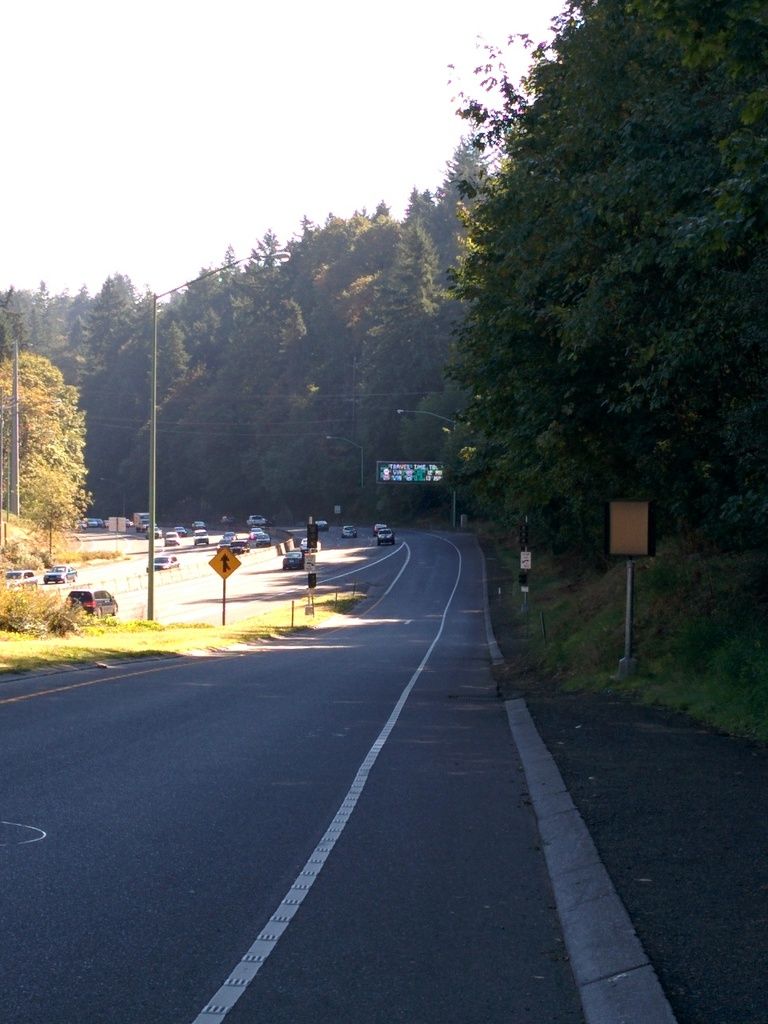
The start is a little confusing ... though since the last time I did this they have added a lot of signage. And it's needed because you kind of exit the zoo, cross the freeway over a bridge, then turn left onto the on ramp for 26 East. It's a really short distance til you hit the trailhead, but still ... it's weird walking along the highway on-ramp.
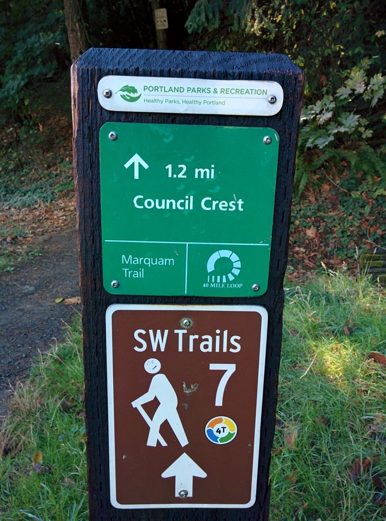
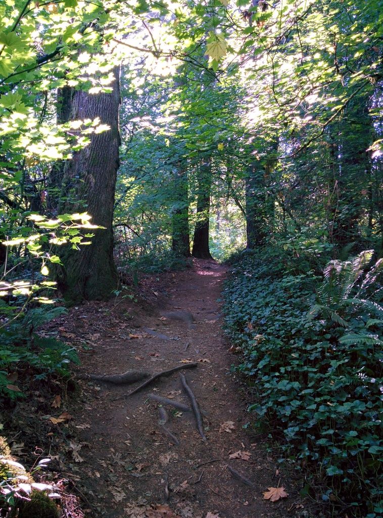
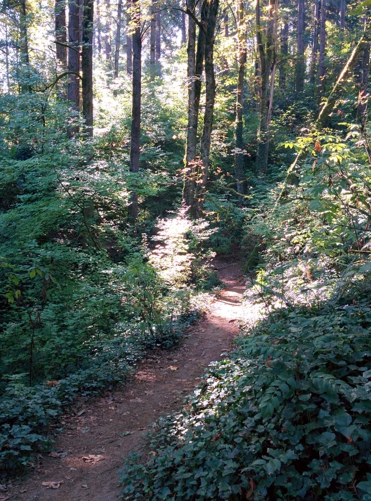
The hiking part of the trail is supposed to be 4.5 miles. No GPS today so I can't verify, but it felt like it. Also not sure how long the Tilikum Crossing is, but that got added to today's total. So the trail is actually the Marquam Trail and it's your average urban trail ... there's no solitude here but that wasn't the point today. Still ... some parts felt secluded and leafy:
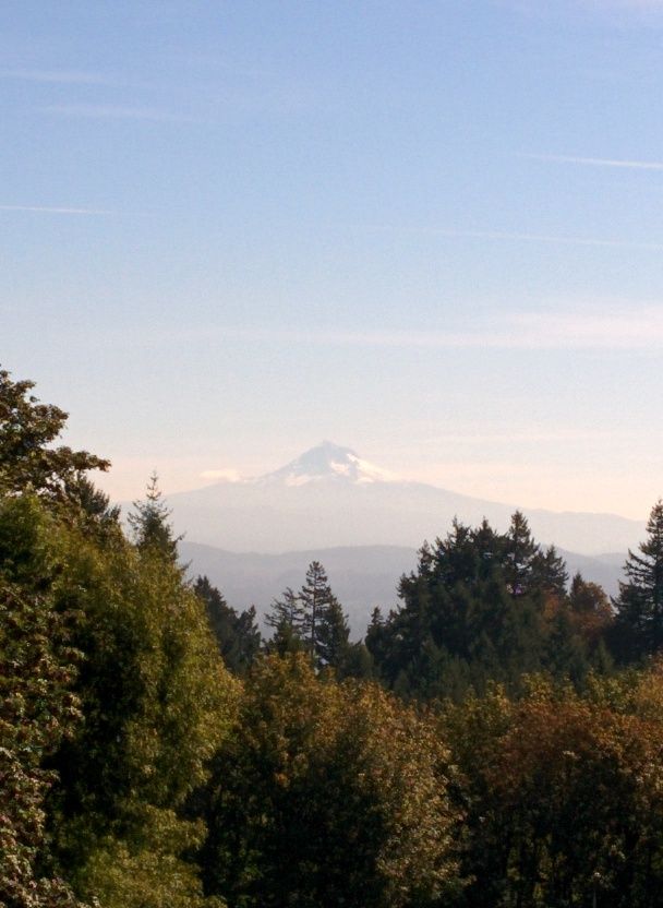
The trail rises up until you get to the street. There are more signs here ... but basically you come out of the trees, go right and then left at the corner. About 1/8 of a mile further and you are right at Council Crest Park. Climb the easy grade to the top and check out the sights (St. Helens, Adams, Hood, the airport, downtown).
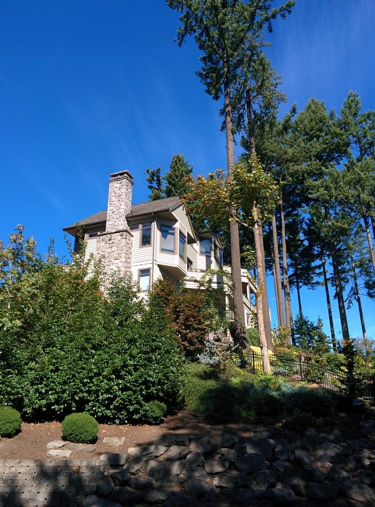
At the Hood lookout you go back into the trees and follow the signs down to the street again. Turn right and follow the long and winding road through a cool neighborhood with nice houses, many of them hillside on stilts:
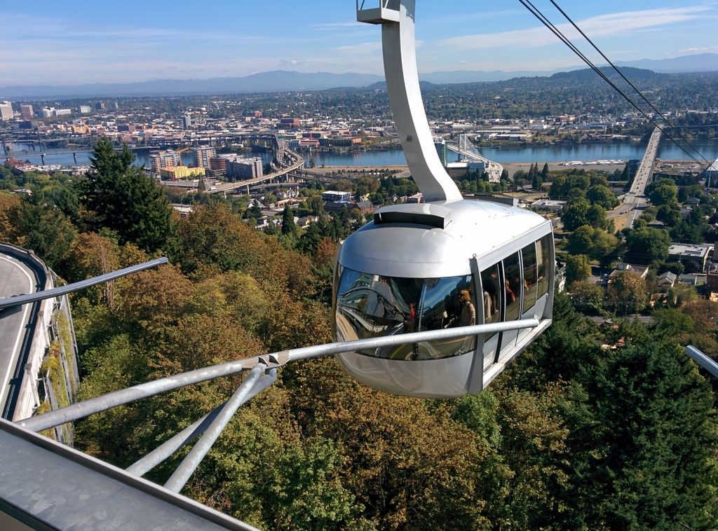
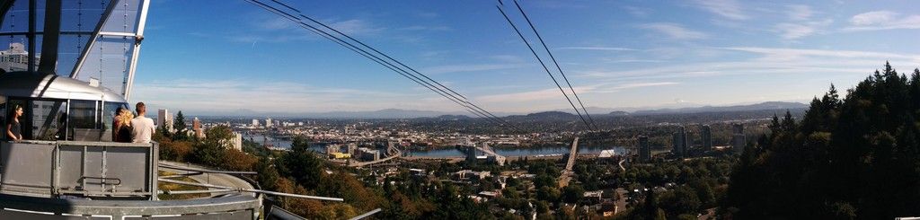
Your next stop is OHSU for the tram, so when you come to the Hospital sign with the blue H, make a left there and stroll down to the medical center. You have to enter the hospital and follow signs inside the building to the tram (another weirdish quirk). It was a great day to ride the tram down (it's free going down ... you pay if you go back up which this hike doesn't do). The major peaks were all visible ... the river, the bridges and the foothills remind you of why you live in Portland ... or don't if you're not so inclined. But it was a beautiful representation of our city today ... the kind you hope for when showing your guests around:
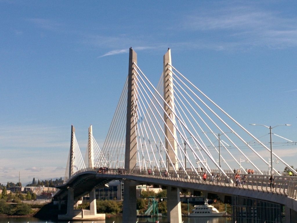
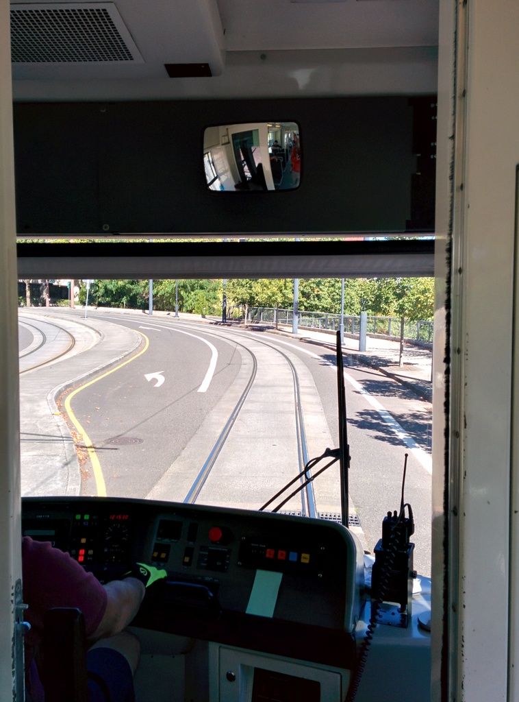
After exiting the tram, I walked down to the new Tilikum Crossing and crossed it back and forth before getting on the trolley:
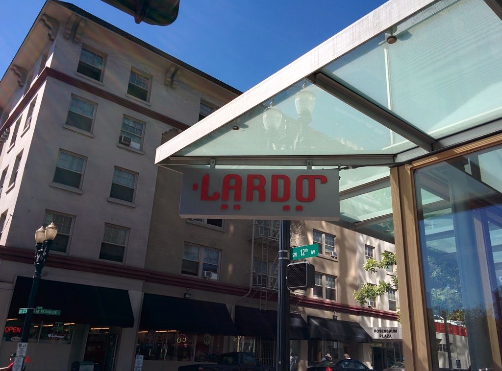
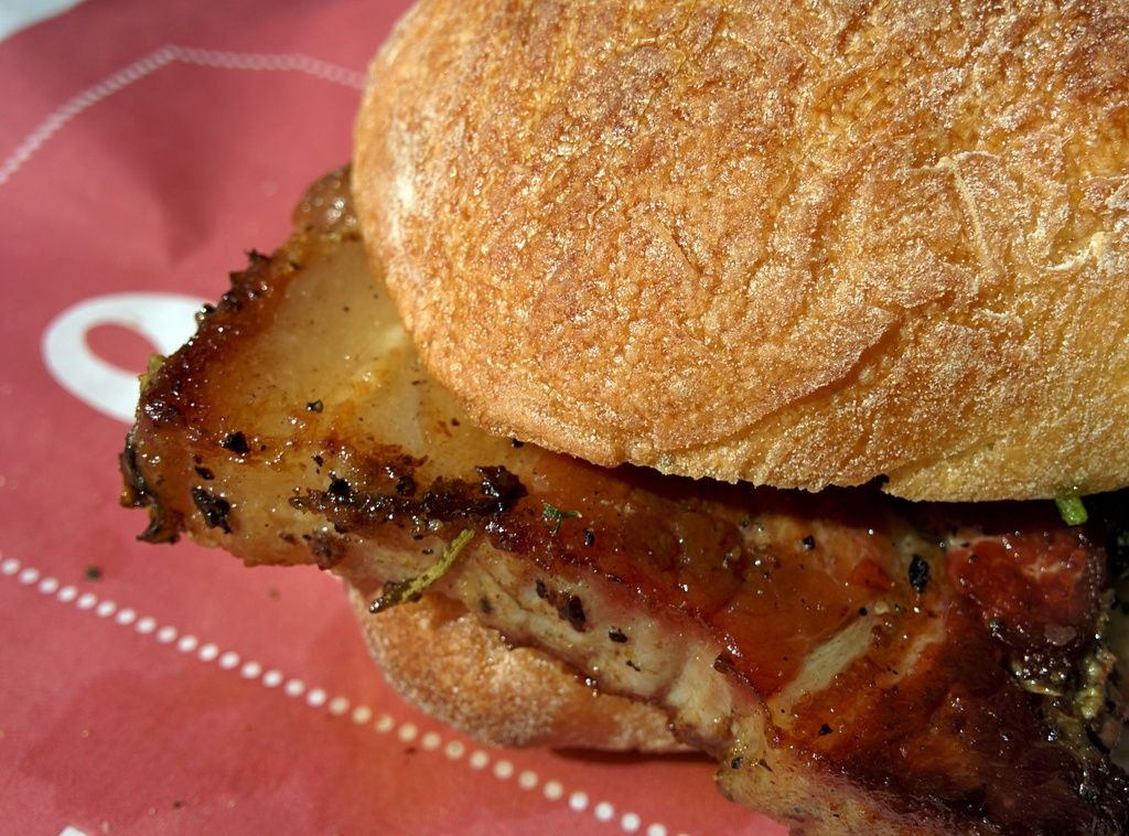
At this point, it's a personal choice where you go before heading to the last T (train) for the ride to your car. You could do NW 23rd or the Pearl ... the riverfront if there's an event on ... or Pioneer Square (today Feast PDX was on but they were sold out when I arrived). I opted to head to a favorite sandwich joint off Burnside for a Porchetta with gremolata and caper mayo. So fatty around the edges but it's that crisped fat ... crunchy and creamy at the same time ... and well, once in a while you gotta splurge the calories:
After lunch I checked out some of the new construction going on in the city ... window shopping ... just enjoying the city and the people. I passed Feast again and tried to bribe one of the security guards at an inconspicuous gate but no dice. So I boarded the MAX and took it a couple of stops to my car for the ride home. Whole trip was maybe 4 hours.
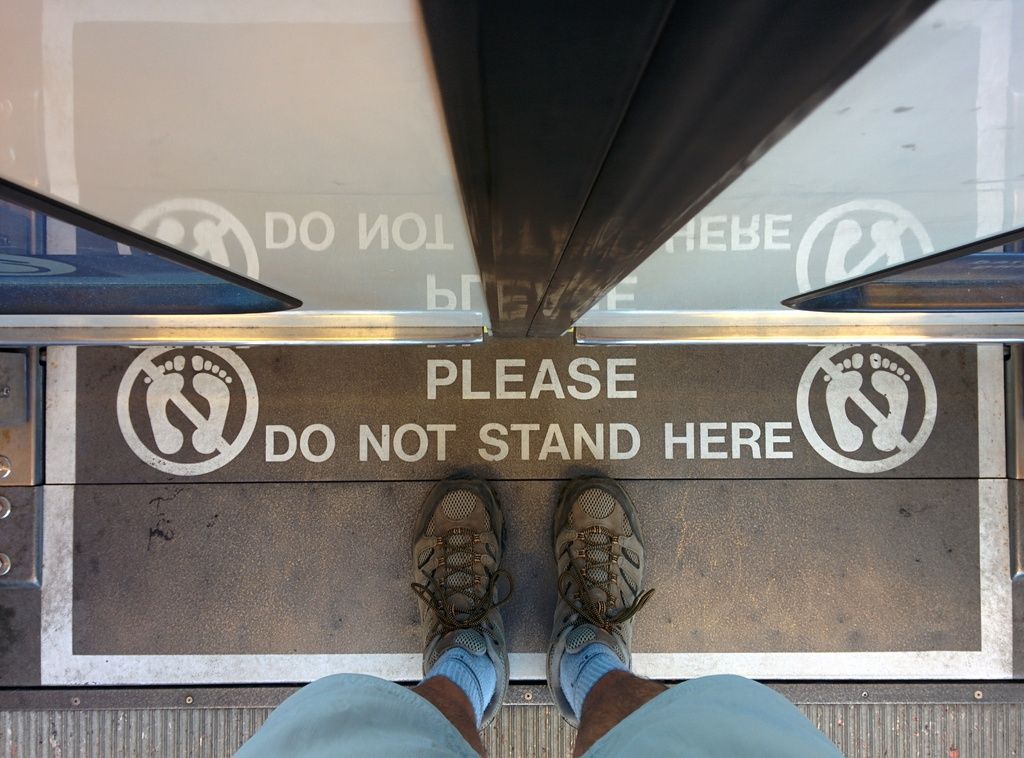
As always ... living on the edge: