Tam-A-Lau loop 1/24/15

This forum is used to share your experiences out on the trails.
Post Reply
User avatar
romann
Posts: 2417
Joined: May 28th, 2008, 10:03 pm
Location: Vancouver, WA

Tam-A-Lau loop 1/24/15

Post by romann » January 28th, 2015, 12:04 am

The weather for Saturday (and clear passes at Mt. Hood) just called to take full advantage of heat and sun in Central Oregon's high desert. We headed for Cove Palisades State Park on Billy Chinook reservoir, just west of Madras.

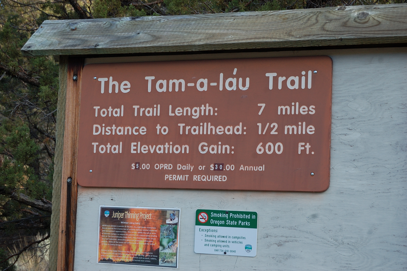
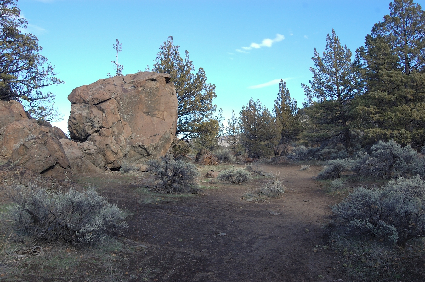
We started at the lower trailhead, I really like that section below main road - some huge boulders there. First moment we exited the car, aroma of juniper and sagebrush was unbelievable.
Image

Image

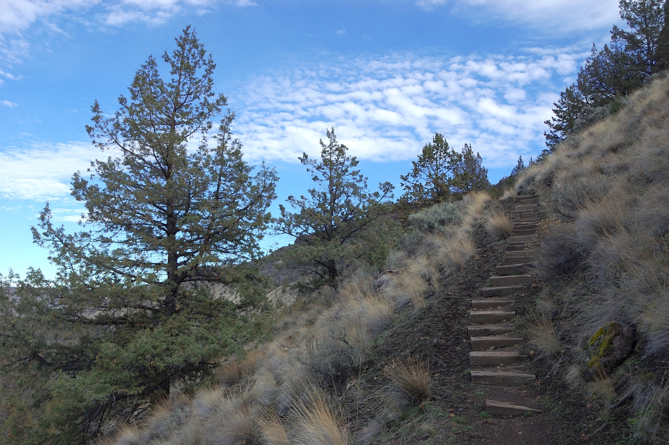
Above main road (and closed campground) the trail ascends to the upper plateau on switchbacks and some wooden stairs
Image

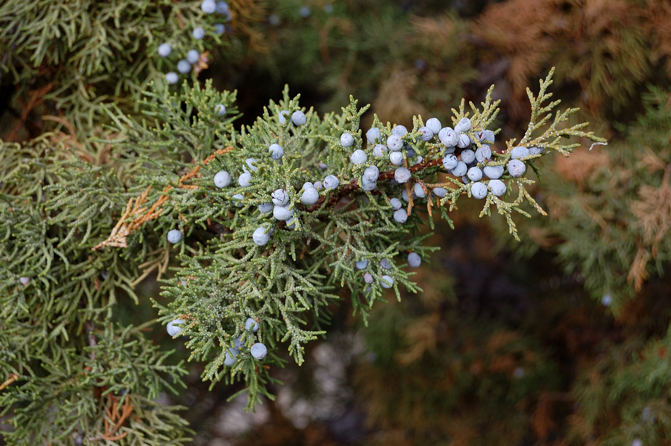
Anyone knows if these are edible?
Image

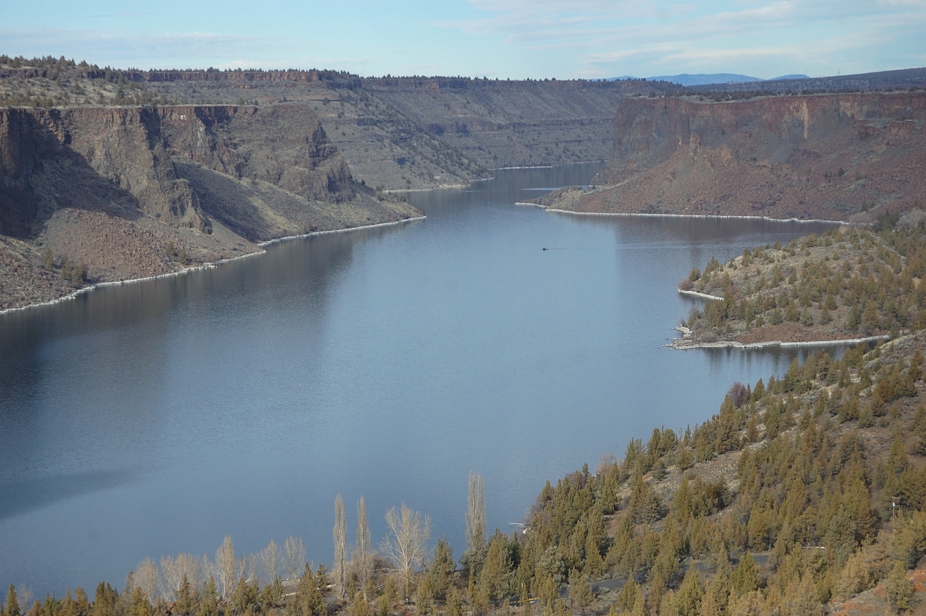
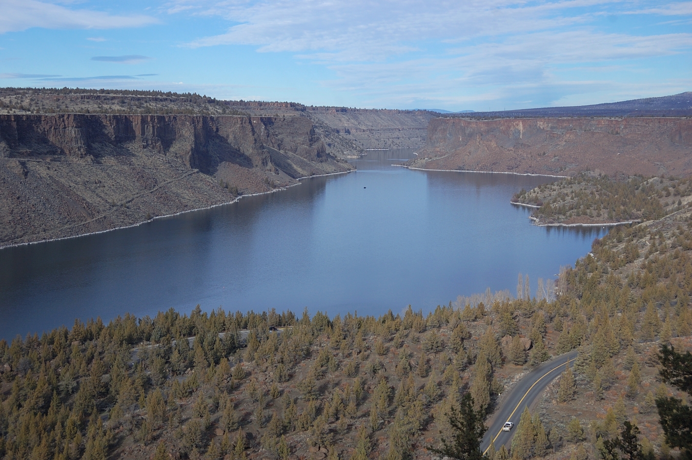
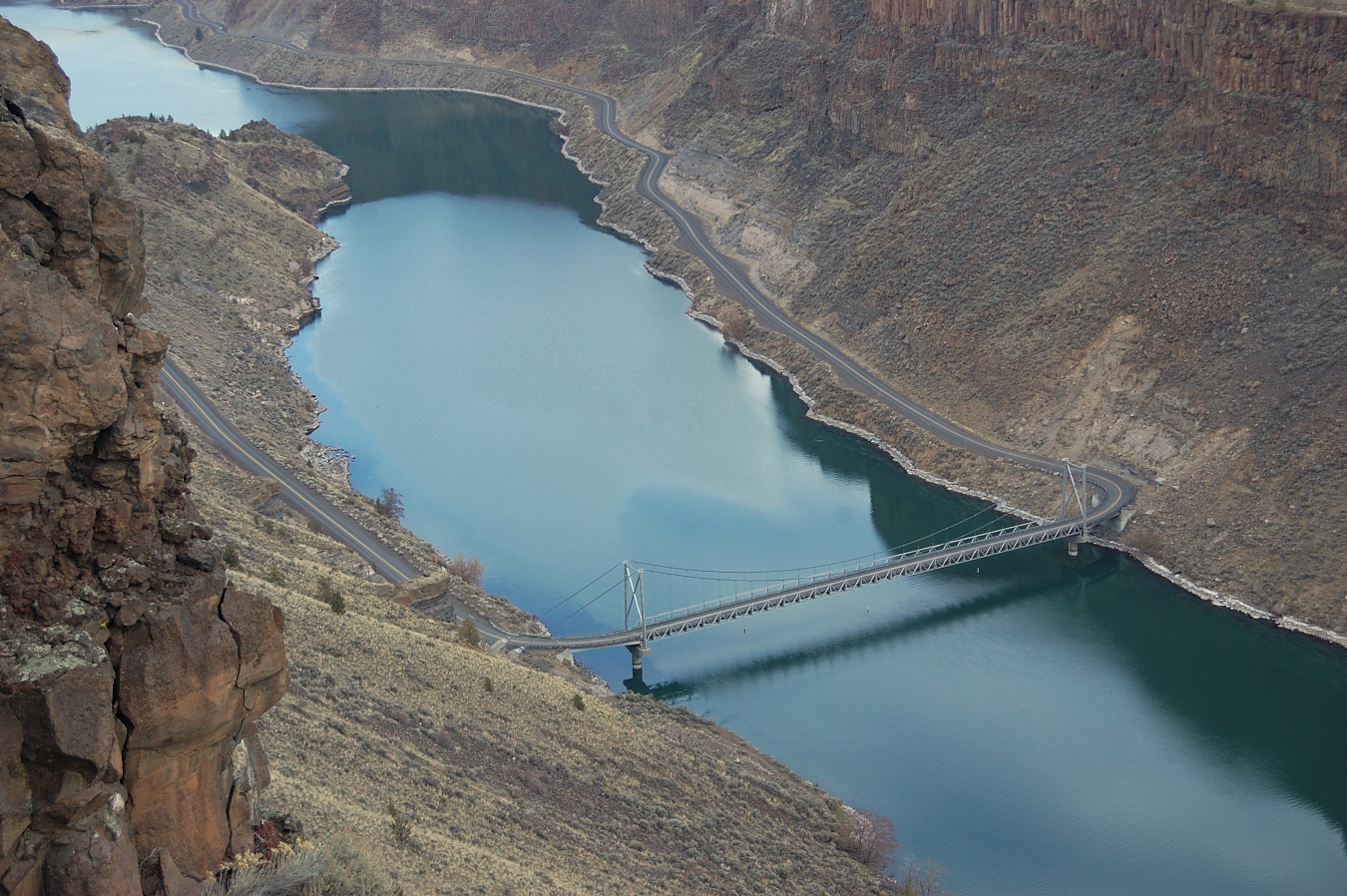
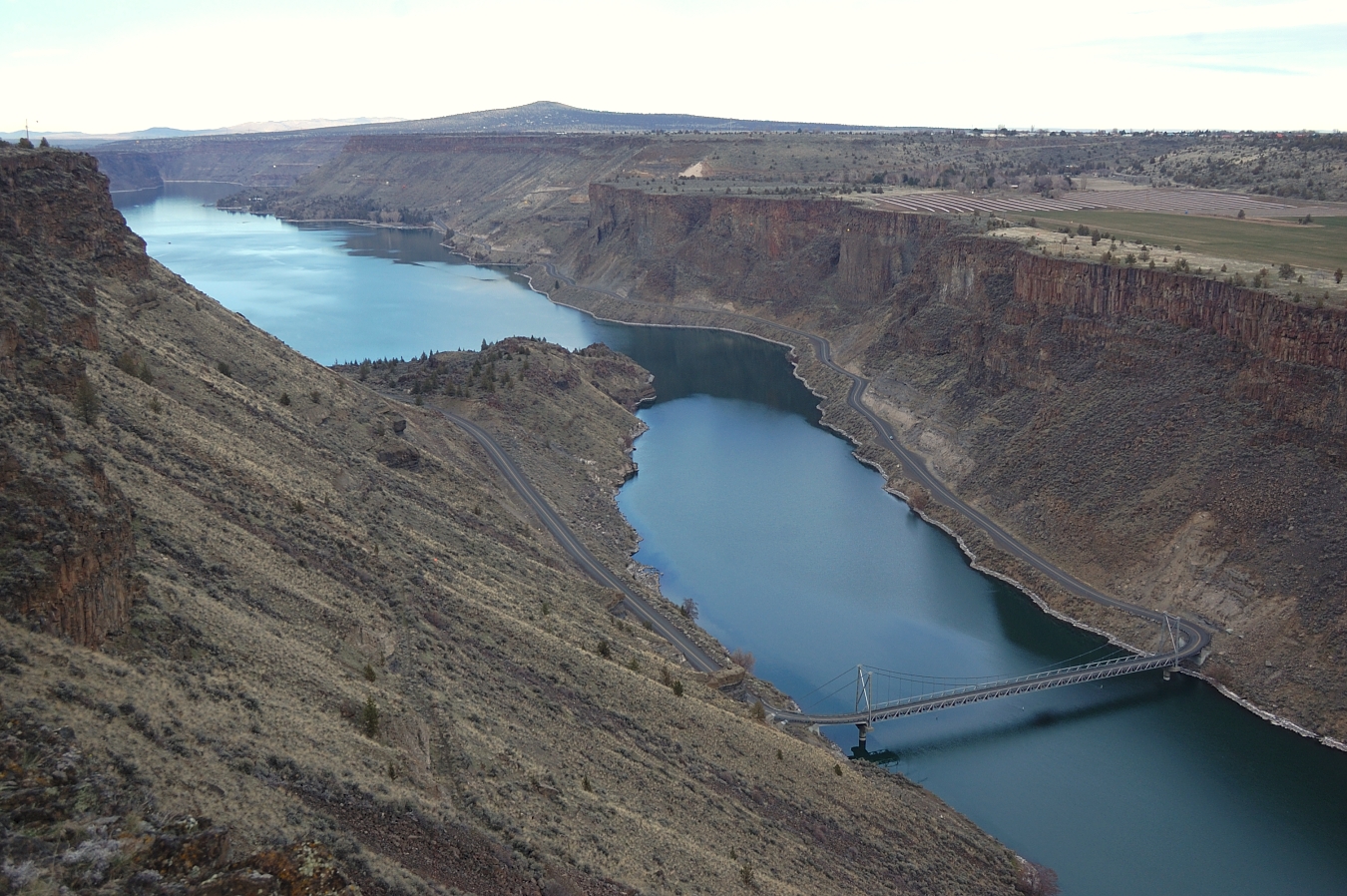
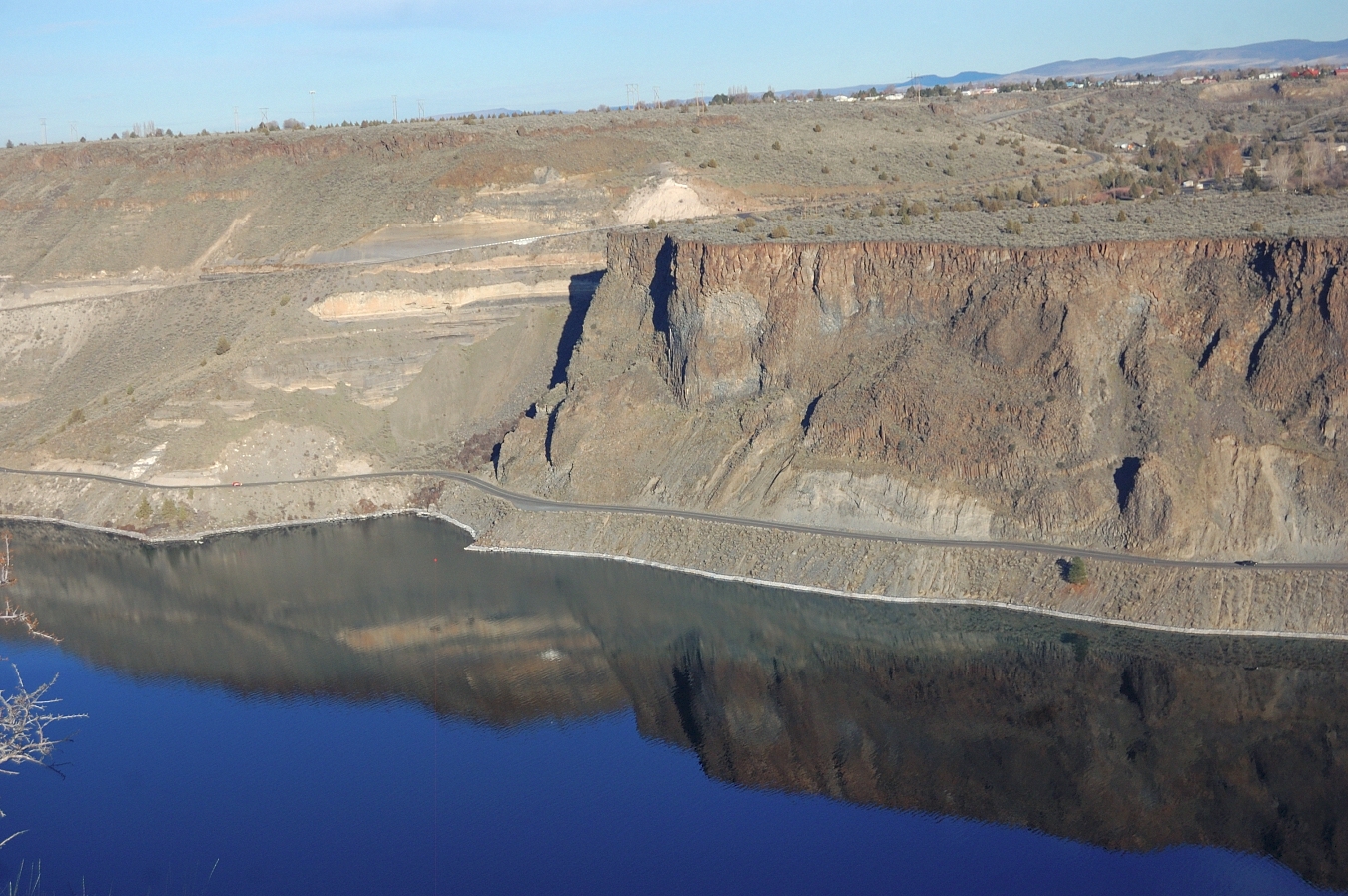
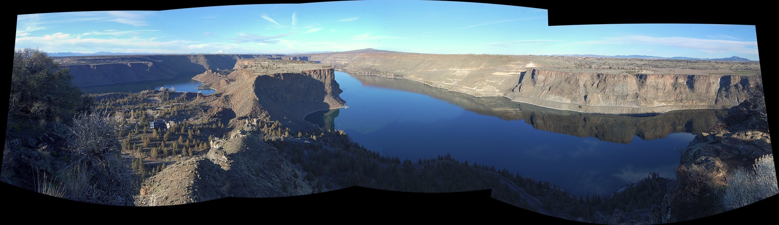
Lake Billy Chinook looks like a wide, mighty river from there
Image

Image

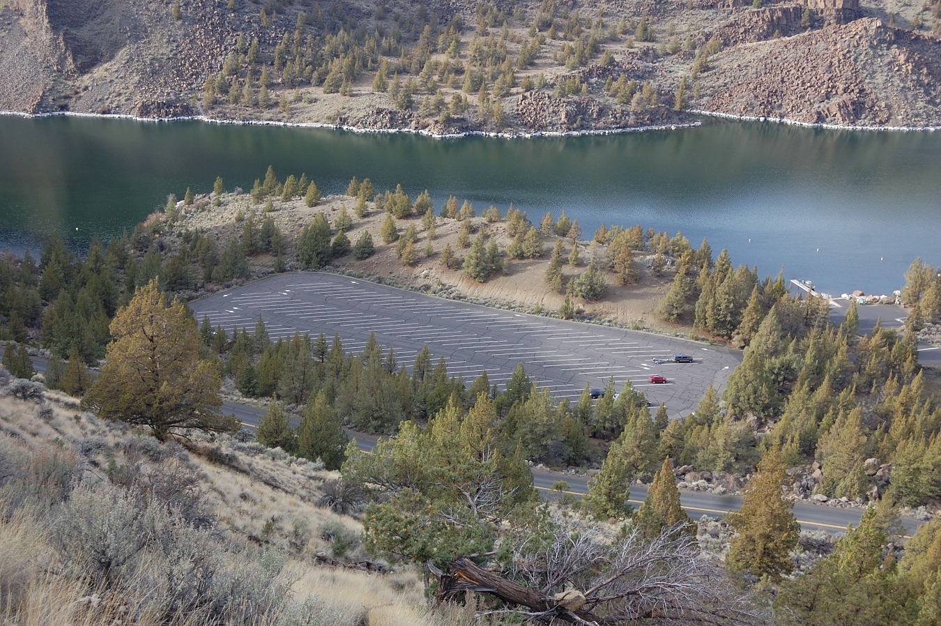
Just to give an idea about crowds we had to dodge :lol:
Image

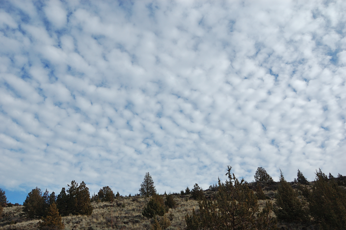
The sun was mostly hidden in clouds at the beginning, but decided to come out as the day progressed
Image

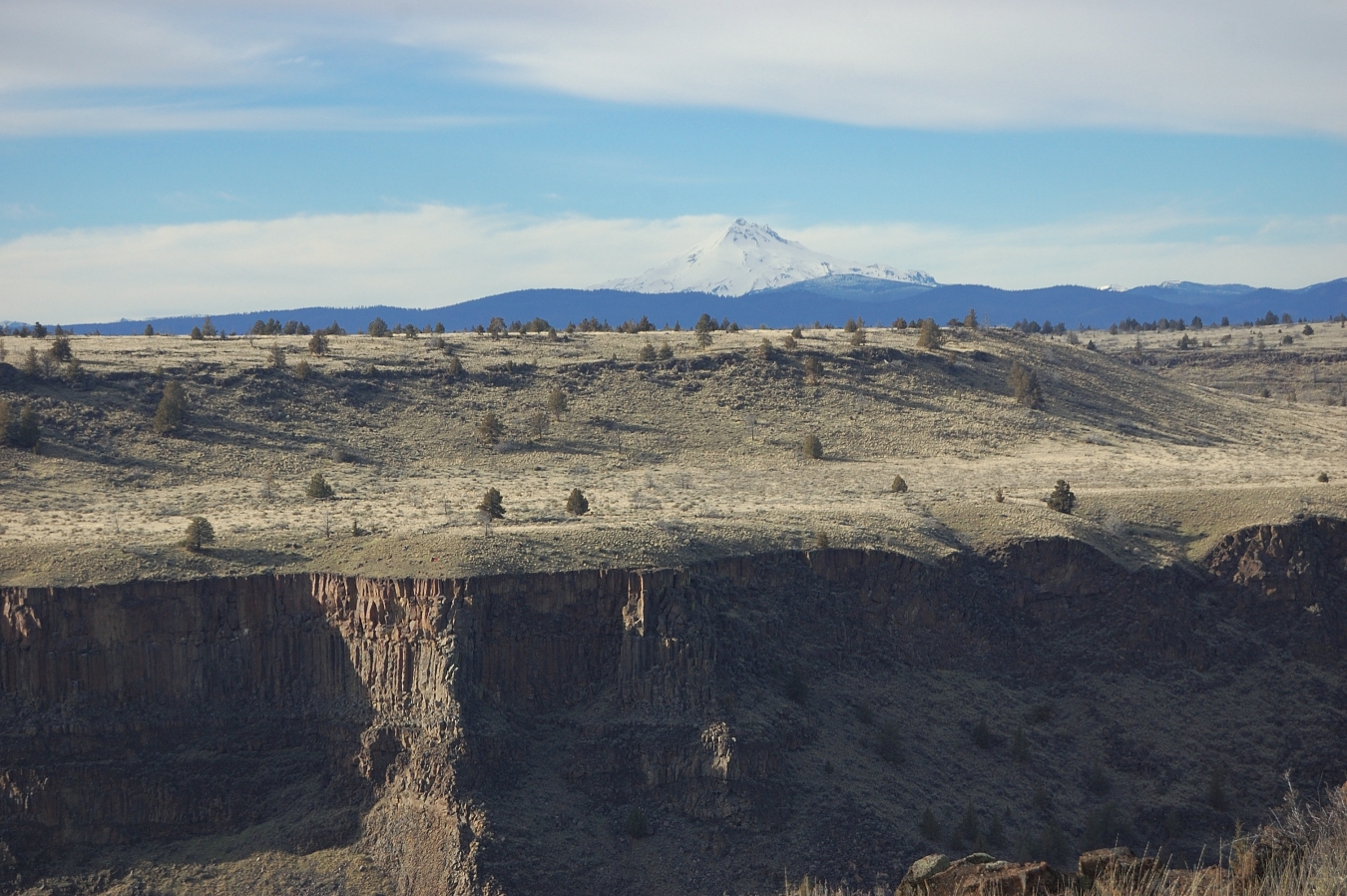
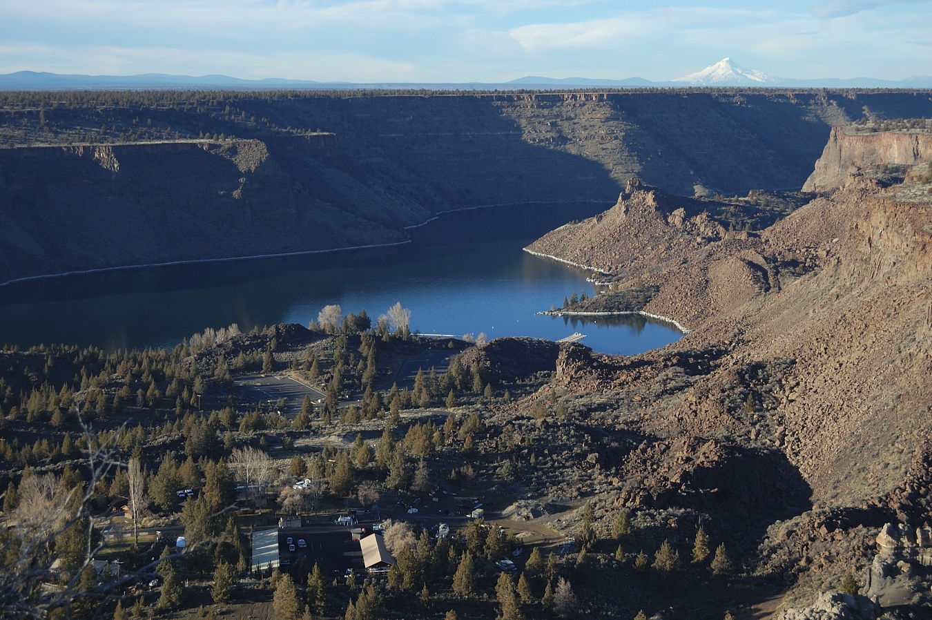
Looking back to Jeff across the canyon
Image

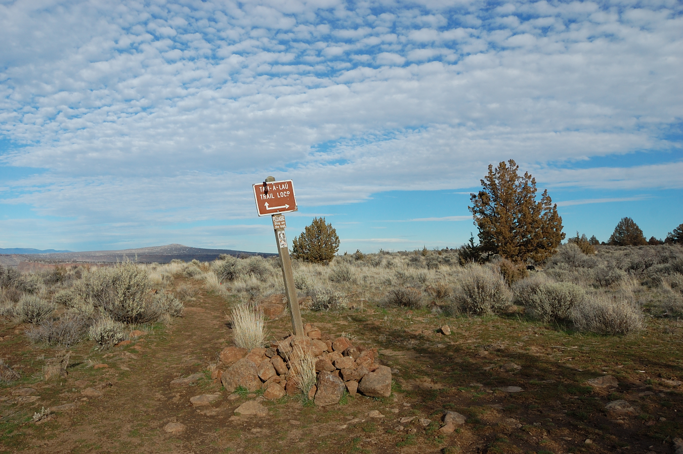
As you gain the plateau, there's a signed loop junction. We made the loop counter-clockwise to save the biggest views for the later part of the hike. There are a couple of junctions with ATV trail up on the plateau (called "the Peninsula"), but all junctions are well-signed and ATV riders seem to respect hikers' trail
Image

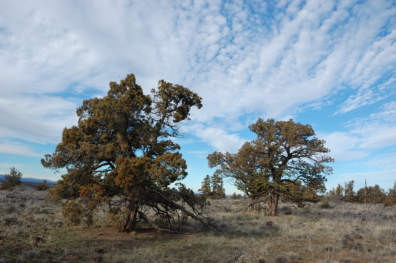
Some ancient junipers up there. There's been thinning work going on for a while (mostly on the ascent part, much less on the plateau), but luckily most trees have been spared
Image

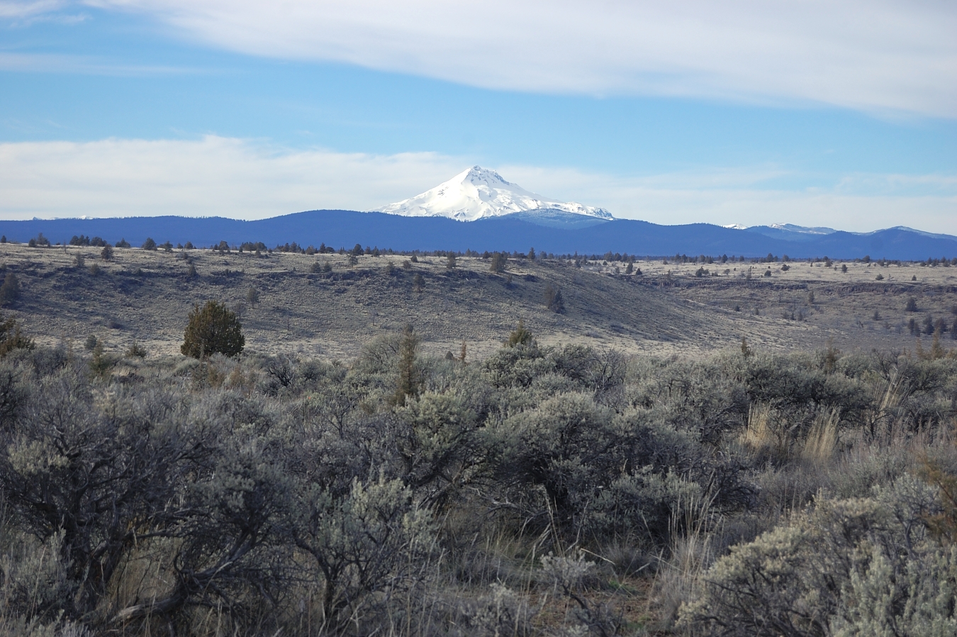
Jefferson from across sagebrush plains. I guess this place gets very hot in summer with little shade, but now it was in the mid-60's, just perfect conditions... There was no shortage of views - we could also see Mt. Hood, Olallie, Three Sisters with Broken Top, Bachelor - just to name the biggest ones.
Image

As the upper trail turns back, it gets to the cliffs above the access bridge we've driven on earlier
Image

Image

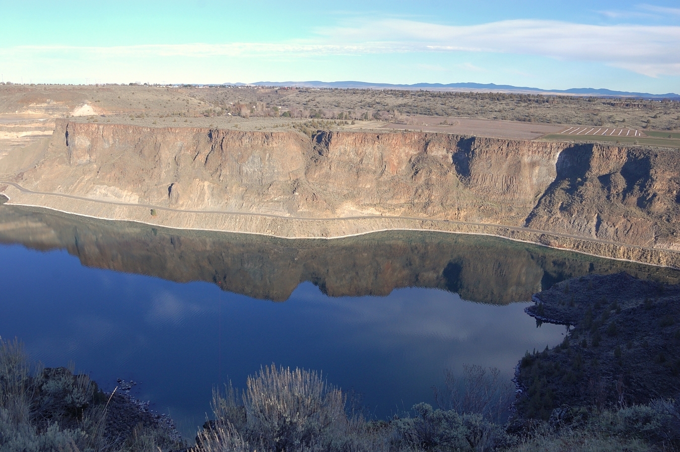
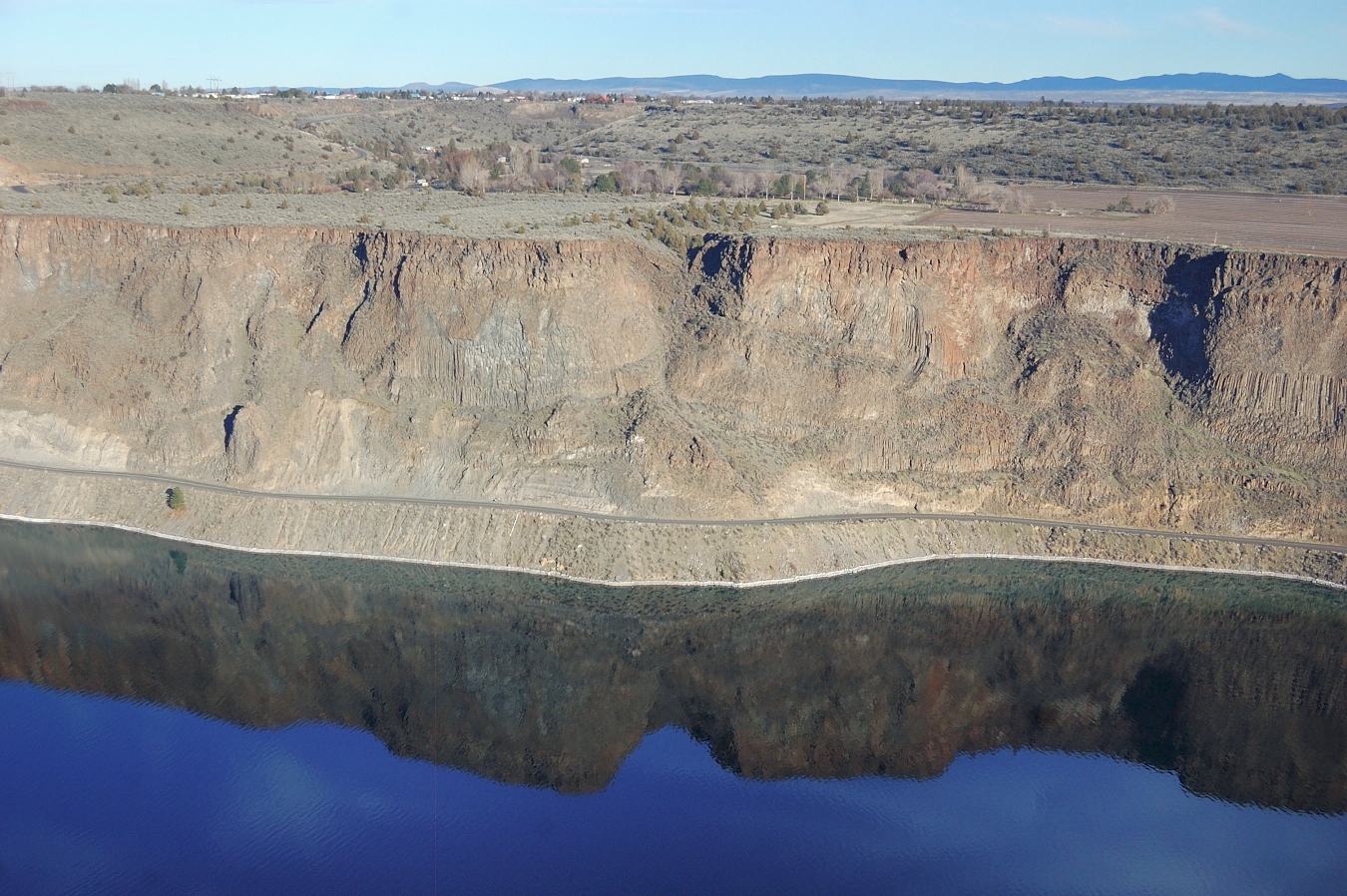
The water was still enough for some reflections...
Image

Image

Image

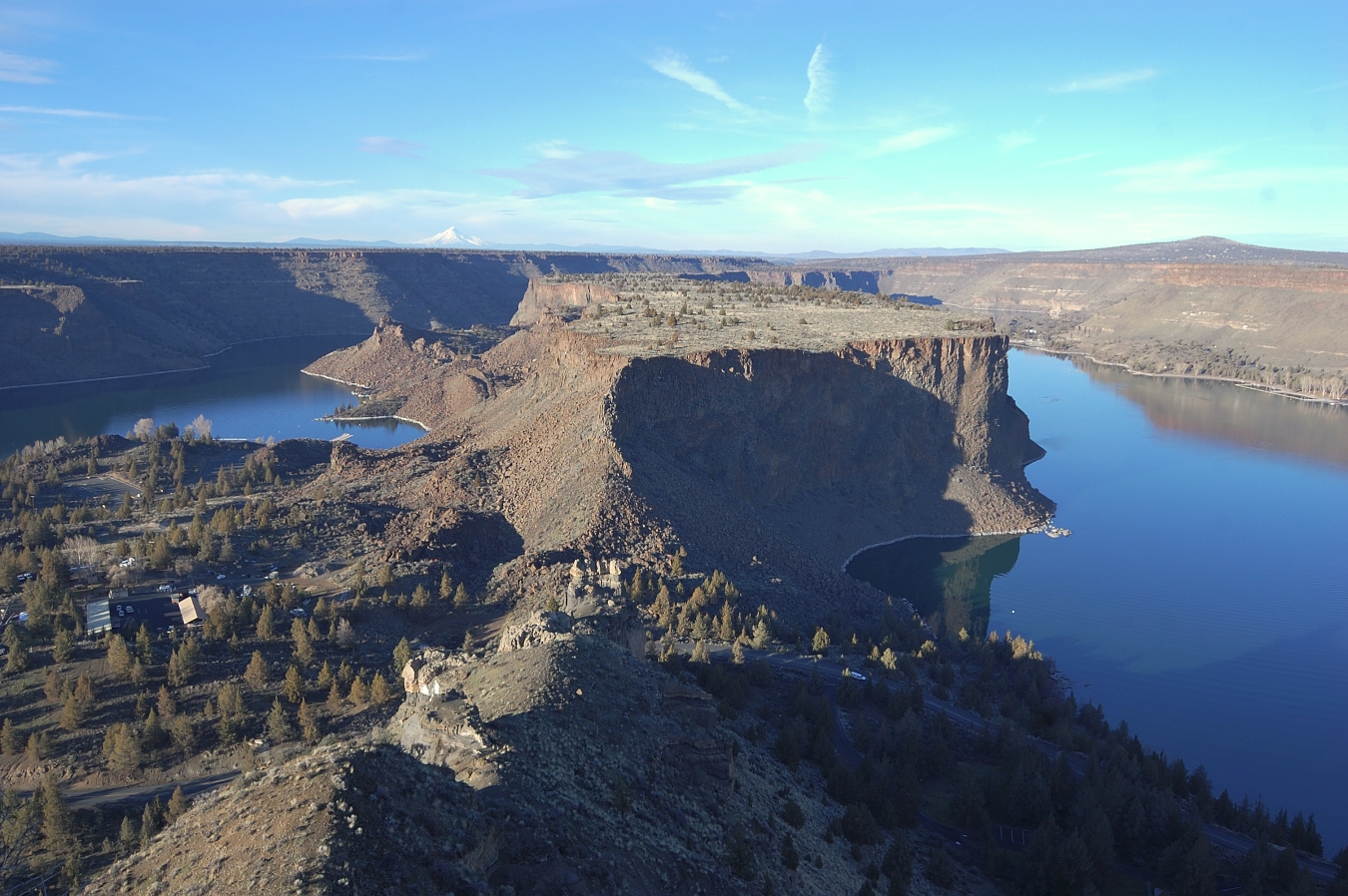
Looking at "The Island" (and distant Mt. Hood) from the tip of "The Peninsula"
Image

Image

Park ranger's residence
Image

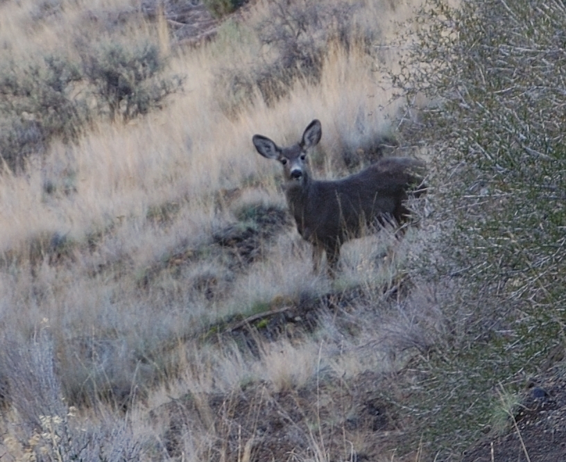
We saw 3 deer on the way down, probably a lot more of them saw us - the number of deer tracks was incredible
Image

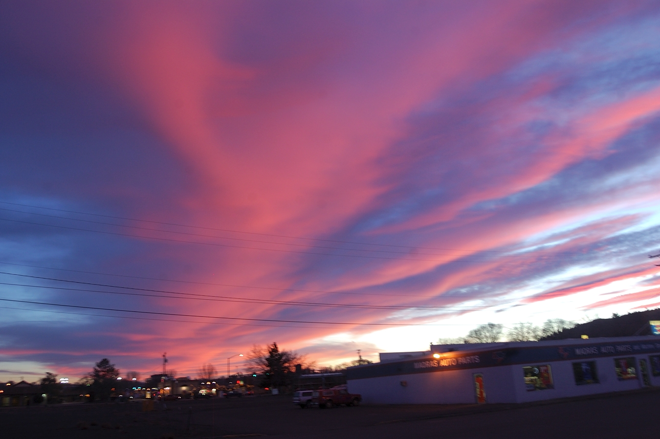
On the drive home (hidden advertisement of Madras Auto Parts...)
Image

It was a great hike, and great day - seems like a gift of summer weekend in the middle of winter :)

User avatar
-Q-
Posts: 1433
Joined: July 5th, 2008, 10:42 pm

Re: Tam-A-Lau loop 1/24/15

Post by -Q- » January 28th, 2015, 10:07 am

Awesome TR!!
Thanks for posting this, I really enjoyed reading it.

I am planning on heading down there in the early spring for some camping & hiking, once the snow & rain arrives in the Cascades

User avatar
miah66
Posts: 2039
Joined: July 6th, 2009, 8:00 pm

Re: Tam-A-Lau loop 1/24/15

Post by miah66 » January 28th, 2015, 1:00 pm

That is a cool little trail, isn't it? I love seeing those wide open areas of Juniper and sage. Makes me want to run as fast as I can in every direction (dodging rattlesnakes?)! :lol:
"The top...is not the top" - Mile...Mile & a Half

Instagram @pdxstrider

User avatar
romann
Posts: 2417
Joined: May 28th, 2008, 10:03 pm
Location: Vancouver, WA

Re: Tam-A-Lau loop 1/24/15

Post by romann » January 29th, 2015, 12:36 am

Thanks!

BTW I always wondered if it's possible to make a longer hike by combining the two hikes near Crooked River (recommended only in rattlesnake-proof boots :) ) - Otter Bench and Cove Palisades - to do something like this. Google Earth says 14.5 miles starting and ending at Otter Bench, but it may be around 16 with all the trail turns.
Attachments
Untitled-1.jpg
Highlighted is hiking trails portion, circled is where Google Earth shows kind of deer trail going up onto plateau...

User avatar
miah66
Posts: 2039
Joined: July 6th, 2009, 8:00 pm

Re: Tam-A-Lau loop 1/24/15

Post by miah66 » January 29th, 2015, 11:43 am

I don't know, but I'd be willing to try it.

On a similar note, I was interested in doing the hike along the Metolius River from Lower Bridge all the way to Lake Billy Chinook.

Brad's track and TR from last spring:

http://gpsfly.org/g/3292

We could do a (long) car shuttle one way hike over a weekend.
"The top...is not the top" - Mile...Mile & a Half

Instagram @pdxstrider

User avatar
romann
Posts: 2417
Joined: May 28th, 2008, 10:03 pm
Location: Vancouver, WA

Re: Tam-A-Lau loop 1/24/15

Post by romann » January 29th, 2015, 10:17 pm

Shuttle hike along Metolius River is about 20.5 miles - looks nice for one-night trip, once the day gets longer (early April or May?).

Thru-hike of the Peninsula - if we finish at Tam-a-Lau lower trailhead it will be around 9 miles one way, and probably less than 1000' eg (with a possible bonus of either of 2 side trails that go down to Crooked River). Let's watch the weather - that terrain is less colorful than here so it's a lot more rewarding on a nice sunny day.

Post Reply