
When: 12/14/14
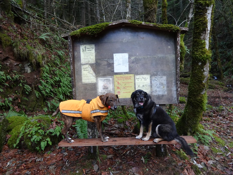
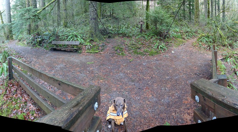
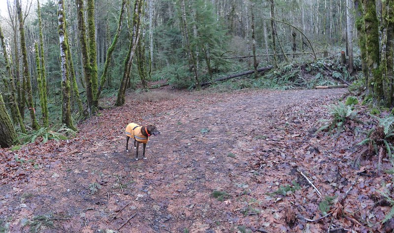
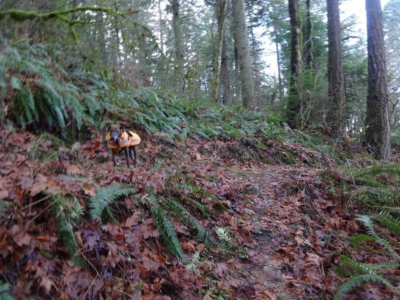
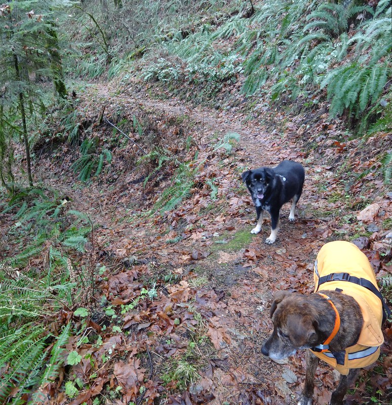
Who: Me (Born2BBrad), Buddy the dog and Timmy the dog
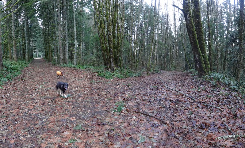
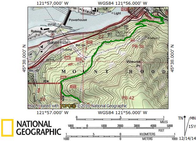
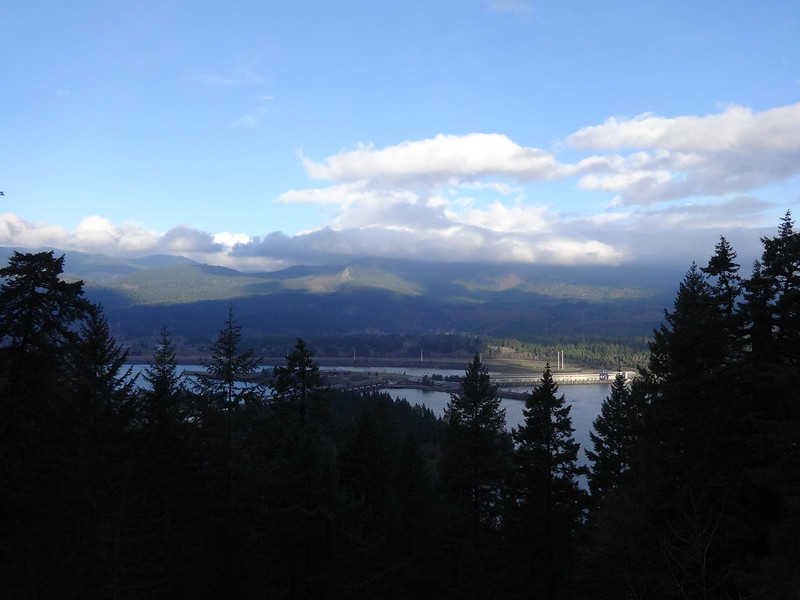
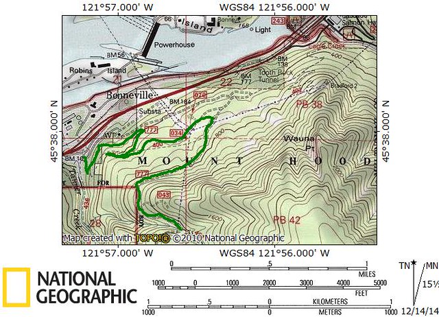
Opening picture:
It’s been a while since I’ve posted a trip report. It’s not like I haven’t been out on the trails. Either those trips were not TR worthy or I didn’t feel like writing one.
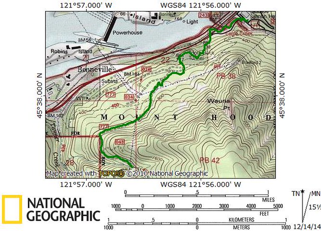
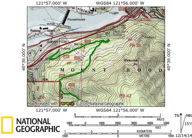
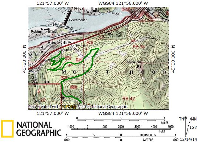
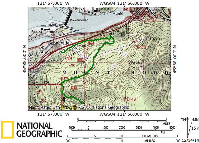
I thought of a way to write one that is a little different. It’s about the many different ways to get to the Tanner Butte TH on road 777. Not only did I want to document them, but track each of them to identify the shortest route. What else am I gonna do, go on a 25 mile death march?
Six different ways are documented here. If you wanted to get technical, there are other roundabout, backwards ways that could get you there.
-----------------------------------------------------------------------------------
Option 1: Eagle Creek TH/Stairs/Cutoff/Rd 777/Trl 400 Jct
Tracks for option 1:
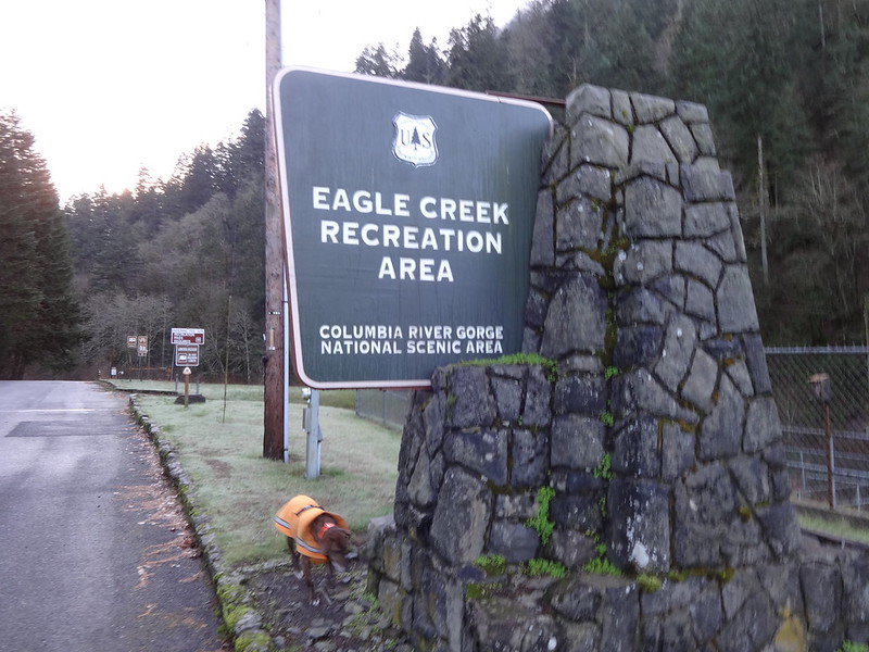
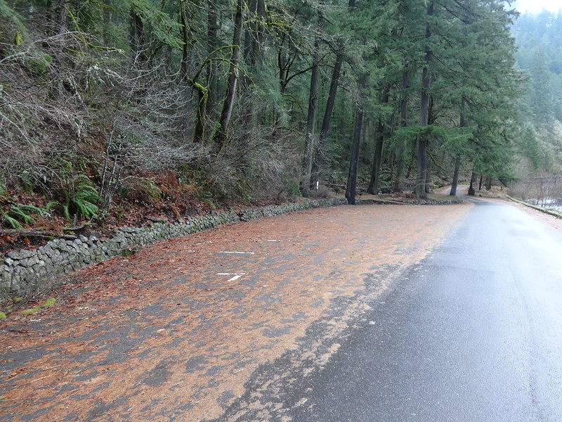
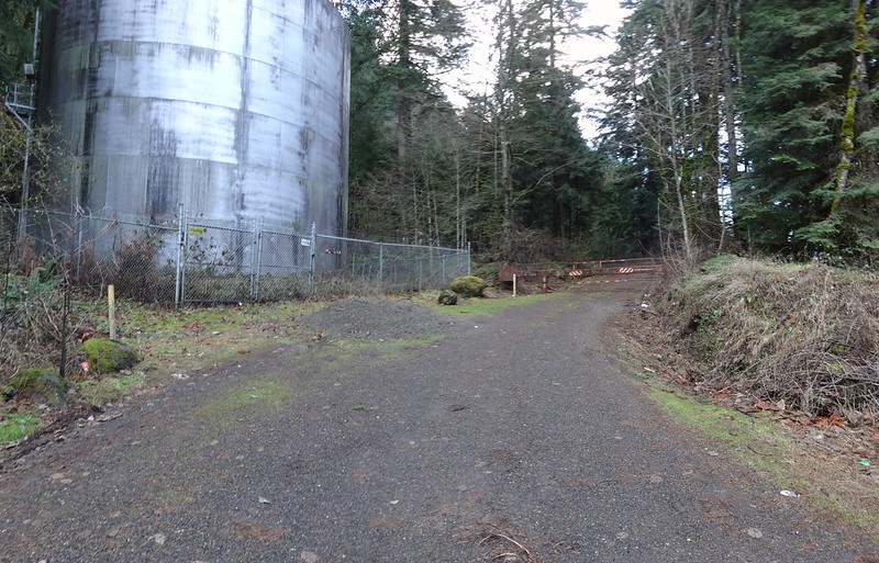
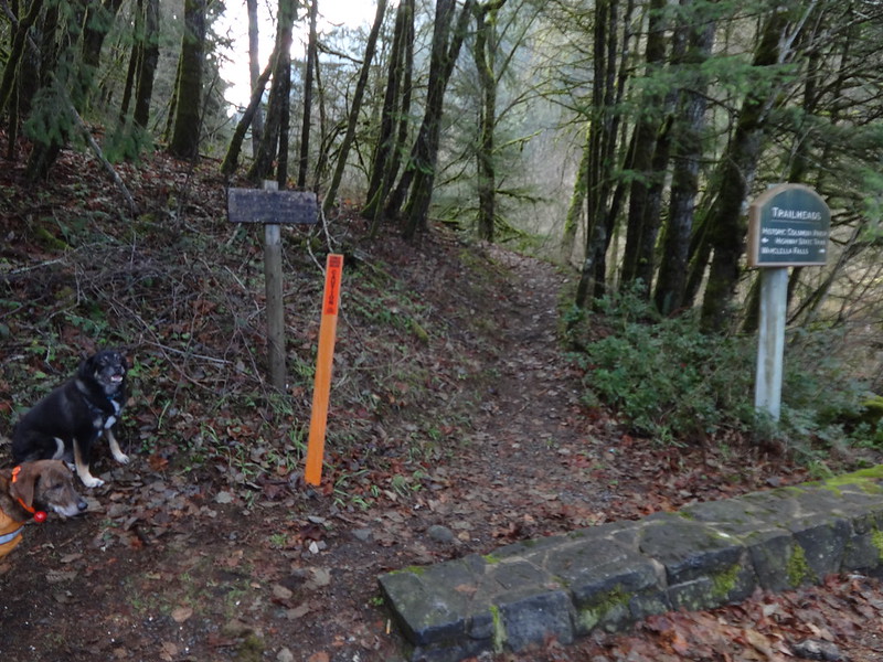
Park at the Eagle Creek Recreation Area:
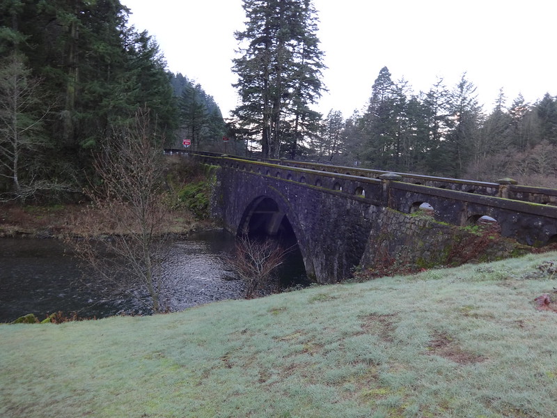
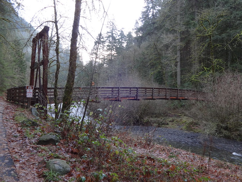
Go north along Eagle Creek and cross the bridge (I-84 off-ramp):
Stay left, then go up the stairs:
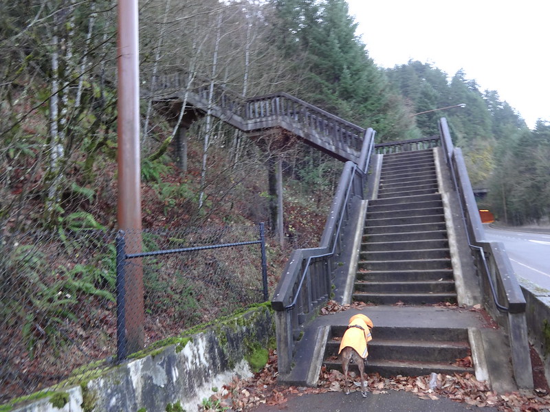
Just after the stairs, turn left (uphill) at the stop sign for the cut-off trail:
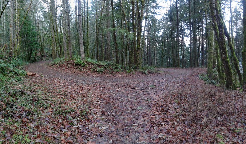
When you get to the junction with the trail that comes from the Toothrock TH, turn left (uphill):
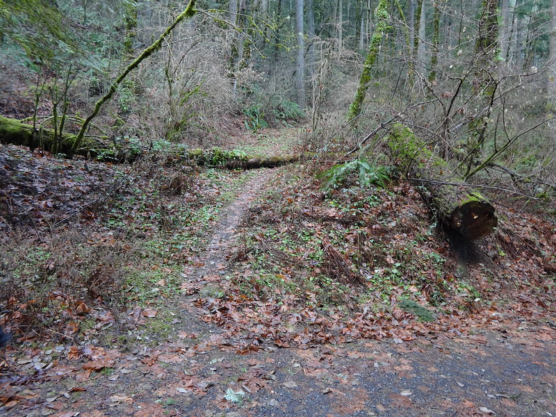
Go left (uphill) where the cut-off trail comes out at the hairpin turn on road 777:
Continue on road 777 left (uphill) at the junction with Trail 400:
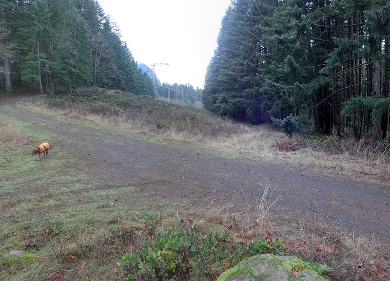
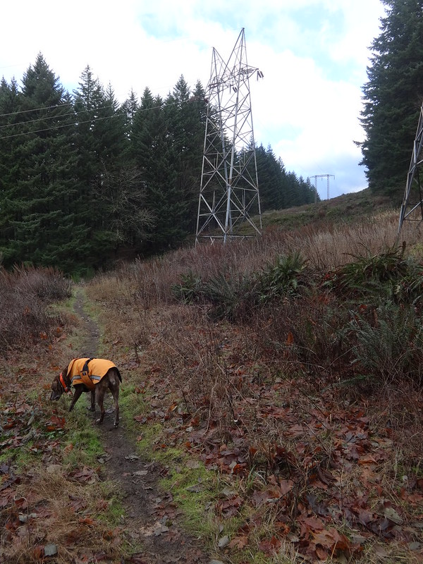
Right after that you’ll be under the power lines:
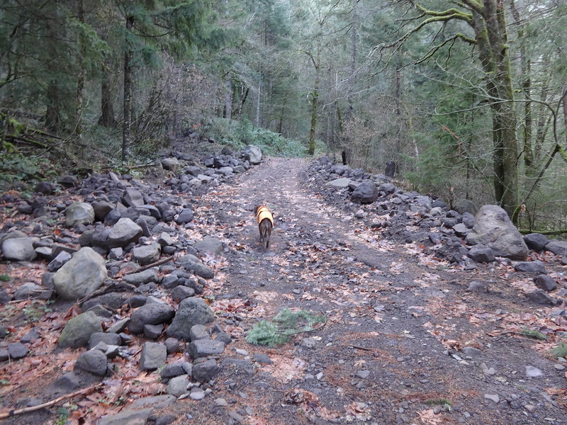
Continue another 0.97 mile to the Tanner Butte TH.
Pass the first of the two cleared out mudslides:
Pass the power line spur road that is also the Wauna Direct Trail (note: it’s a butt-kicker):
Pretty soon you’ll be at the Tanner Butte TH:
-----------------------------------------------------------------------------------
Option 2: Eagle Creek TH/Trl 400/Rd 777/Trl 400 Jct
Tracks for option 2:
As with option 1, park at the Eagle Creek Recreation Area. This time go south following Eagle Creek on the road.
You won’t see an empty parking lot here in the summer:
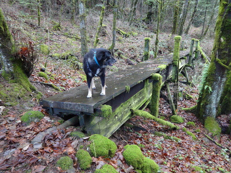
Cross the footbridge that goes over Eagle Creek:
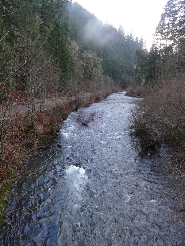
View of Eagle Creek from the footbridge:
After crossing the footbridge, take the trail that goes uphill to the right, not the trail on the right that follows the creek:
Continue straight (uphill) at this unnamed trail junction:
Stay straight at the junction with the Wauna Viewpoint trail:
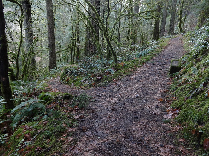
Some old growth trees along trail 400:
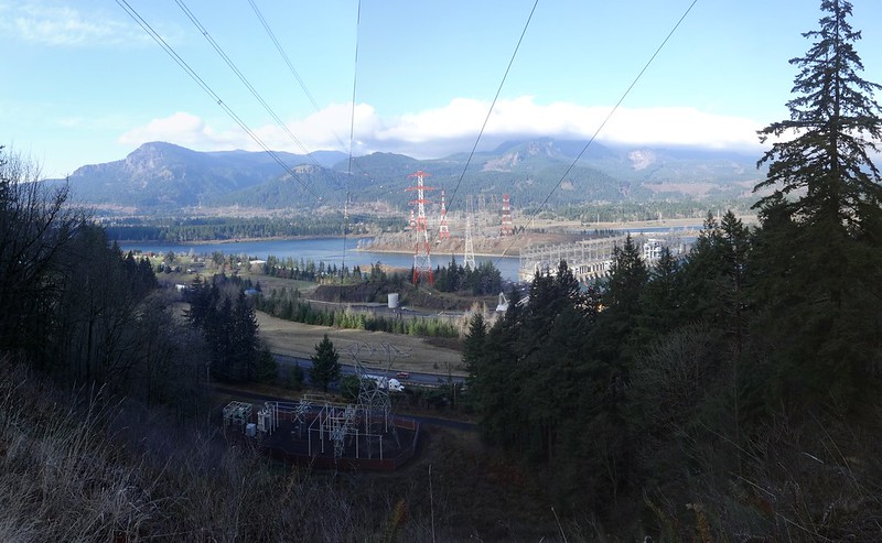
View of Bonneville Dam and the Columbia River:
Go left (uphill) where the cut-off trail comes out at the hairpin turn on road 777:
Follow the directions from option 1 to continue to the Tanner Butte TH.
-----------------------------------------------------------------------------------
Option 3: Toothrock TH/Rd 777/Trl 400 Jct
Tracks for option 3:
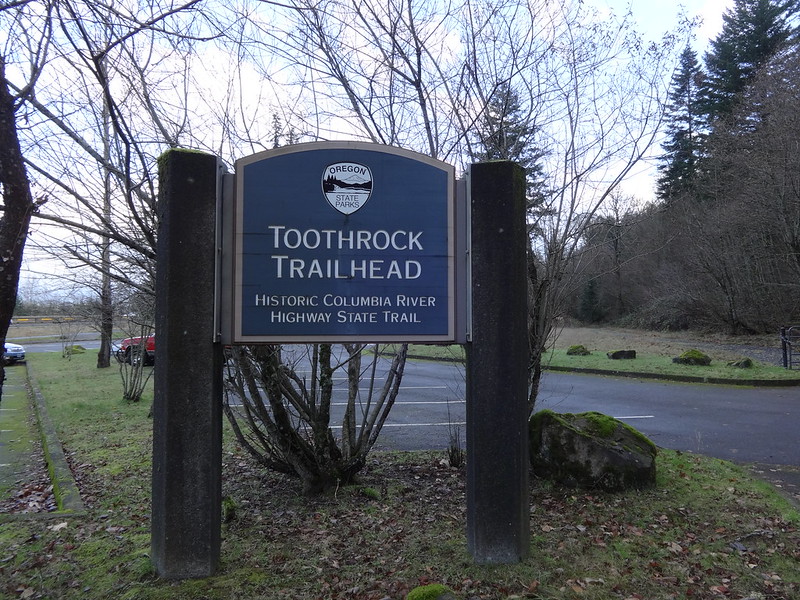
Park at the Toothrock TH:
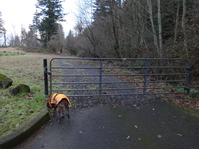
Go west on the pavement to gated road 777:
Stay on road 777 the entire way, passing under power lines twice:
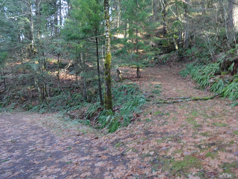
Soon you will be at the hairpin turn where road 777 meets the cut-off trail and trail 400:
Follow the directions from the previous options to continue to the Tanner Butte TH
-----------------------------------------------------------------------------------
Option 4: Toothrock TH/Rd 777/Cutoff to Trl 400/Trl 400/Rd 777 Jct
Tracks for option 4:
Park at the Toothrock TH:
Go west on the pavement to gated road 777:
Just after the hairpin turn after the gate, turn right on an unnamed cut-off trail:
Turn left (uphill) where the cut-off trail meets trail 400:
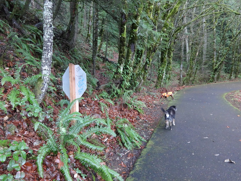
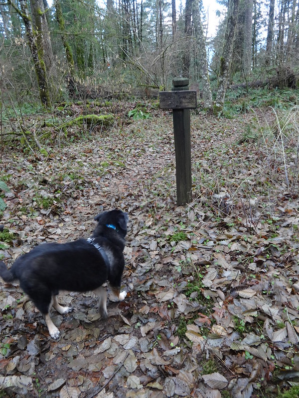
After a couple of switchbacks, pass a sign for trail 400 that baffles me why it is there. The trail is obvious, so why is it there?
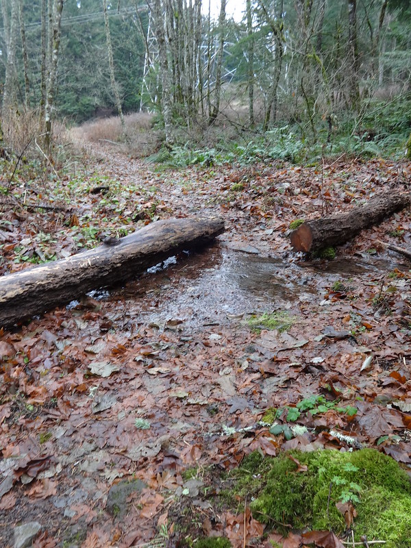
Cross a seasonal creek just before going under the power lines:
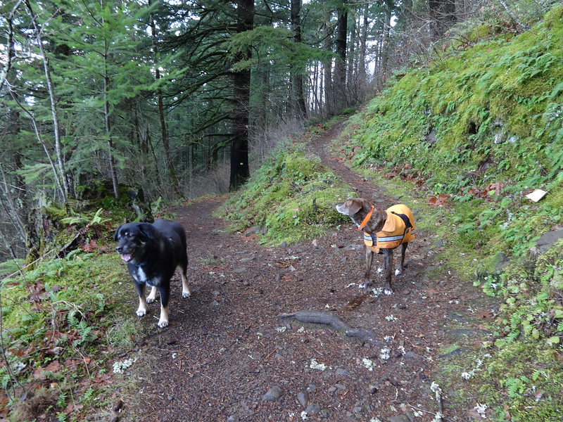
In the open area under the power lines:
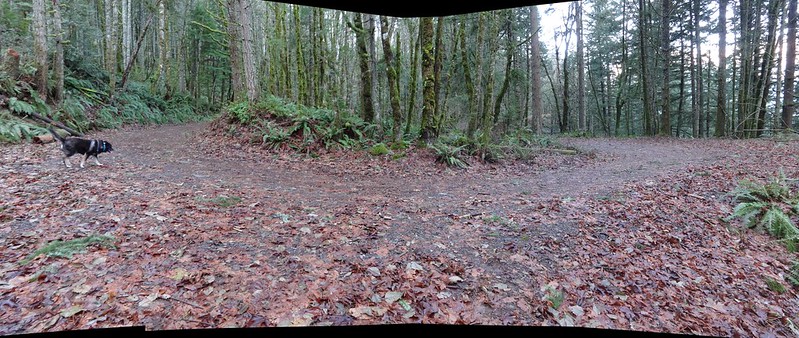
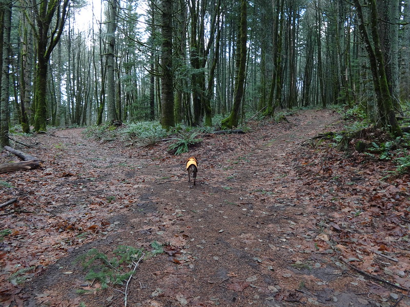
Just after going under the power lines the trail meets a road, then splits. Both roads go up to road 777. The left option is actually trail 400, but the right option is shorter:
Once at road 777, turn right (uphill) and follow the direction for previous option to get to the Tanner Butte TH.
-----------------------------------------------------------------------------------
Option 5: Toothrock TH/Substation/Eagle Creek Cutoff/Rd 777/Trl 400 Jct
Tracks for option 5:
Park at the Toothrock TH as the previous two options.
Head east on the gated gravel road:
The gravel road meets a paved bike path that passes Acton Substation:
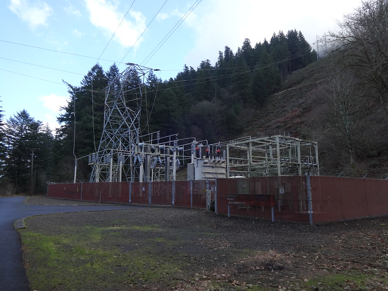
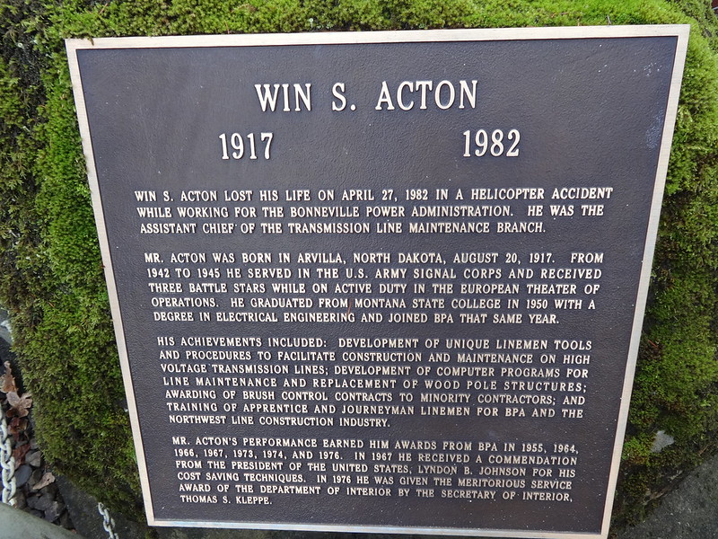
Why is it called Acton Substation? Here’s the answer:
Take the unnamed cut-off trail on the right (uphill):
Soon the cut-off trail meets the cut-off trail that comes from the Eagle Creek TH:
From here, follow the directions as described in option 1.
-----------------------------------------------------------------------------------
Option 6: Trl 400 TH (by Wahclella Falls TH)/Trl 400/Rd 777 Jct
Tracks for option 6:
This option begins on trail 400 near the Wahclella Falls TH. You can park at Wahclella Falls TH. I have seen people park at the end of the Bonneville Dam I-84 off-ramp too.
People use to park right where the trail sign is, but there are now “No Parking” signs there:
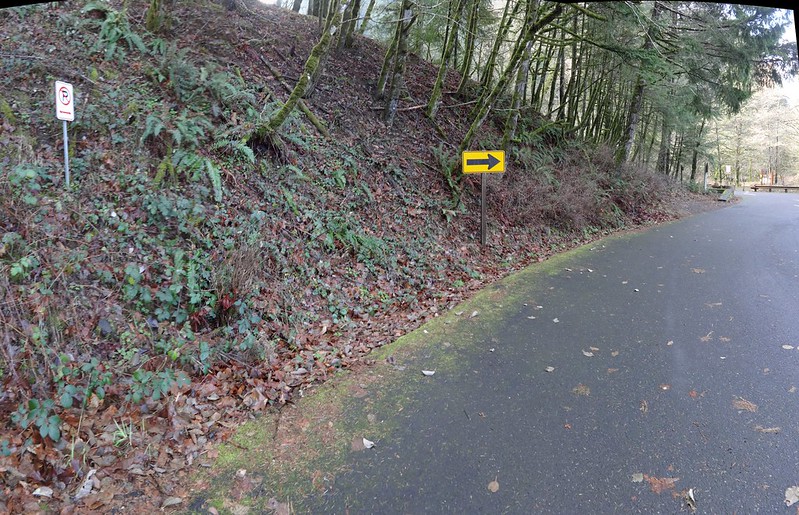
Now people park on the side of the road just past the signs, half-way blocking the road.
Here is the trail sign that can be seen from the road:
Near the start is some kind of old hydo pipe flume thingy. That might not be what it is officially called:
Stay right (uphill) when you meet the cut-off trail from road 777 (option 4):
Once at this location, follow the directions as described for option 4 to get to the Tanner Butte TH.
-----------------------------------------------------------------------------------
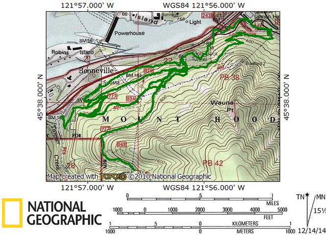
Tracks for all options combined:
Spreadsheet showing distances:
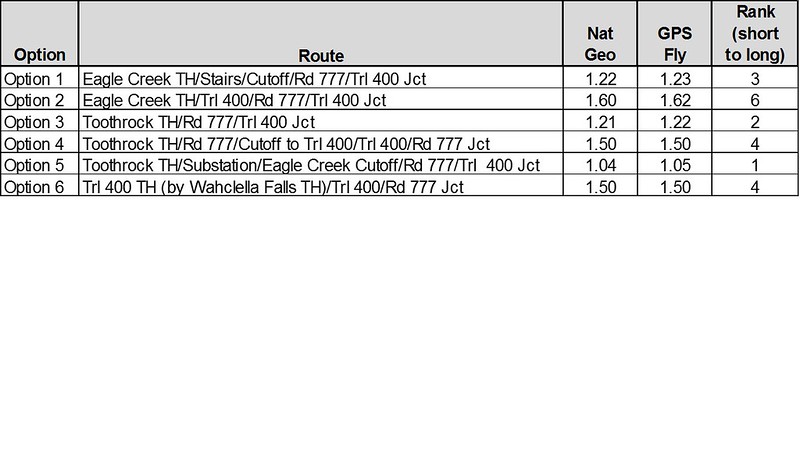
I believe the mileage to be correct. I cleaned up the tracks and compared the results in GPS Fly and NatGeo Topo. I’ve always thought the mileage in GPS Fly was more accurate that my GPS trip computer.
My favorite route option is #4 because it gets you on the trail sooner than most of the other options. My least favorite option is #3 because it is on the road the entire way.
So there you have it! Not exciting, but different.
Hike away!!
Brad


