Into the cloud... (at Bald Mountain) 12/14

This forum is used to share your experiences out on the trails.
User avatar
Splintercat
Posts: 8333
Joined: May 28th, 2008, 10:03 pm
Location: Portland
Contact:

Into the cloud... (at Bald Mountain) 12/14

Post by Splintercat » December 14th, 2014, 9:48 pm

Had just six hours for my first hike in a month today -- so I bolted up to Bald Mountain, thinking it would be a perfect day to visit the mountain. As I drove up Lolo Pass Road, a set of stationary clouds came into view, flowing over the NW base of the mountain... doh! Well, I decided to stop for a few photos while I could still see the mountain, just in case... these are from just short of the pass, where the mountain was quite stunning with a new blanket of snow:

Image

Image

Running low on time, I next bolted up to the Top Spur TH for the short version of the Bald Mountain hike -- and the conditions at the TH were encouraging... still lots of blue sky, plus a couple inches of snow on the trees, topped by a coat of freezing fog crystals:

Image

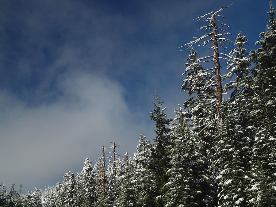
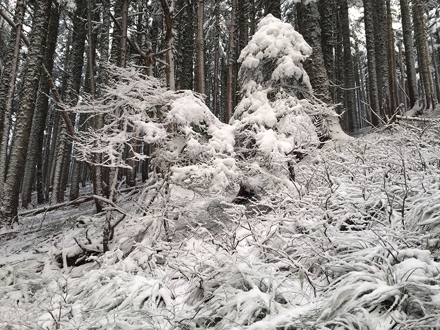
...very pretty along the trail as I headed up the hill:

Image

Image

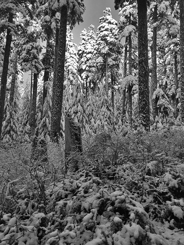
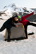
...no sign of Reese Witherspoon or Laura Dern here today...

Image

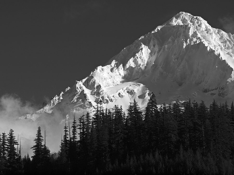
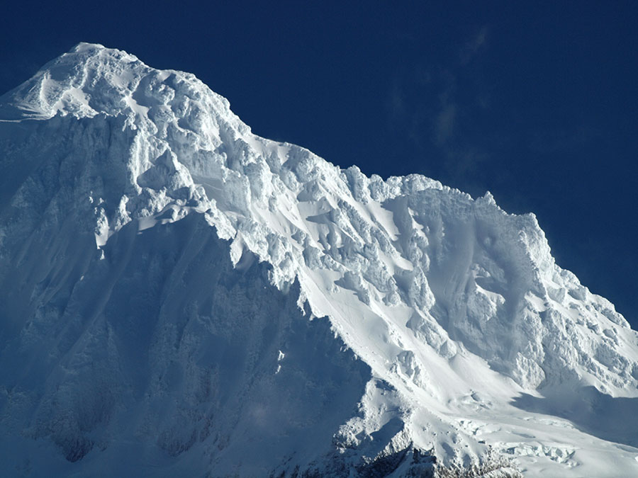
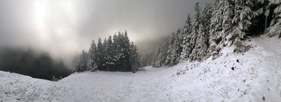
...set up my camera here and watched the cloud bank get LARGER... before heading back down the hill... the mountain would be RIGHT THERE! (gotta use your imagination) :-)

Image

...a little pano of the clouds hanging over Bald Mountain on the way out...

Image

Short day, but nice to be back out on the trail! The only distractions from complete bliss were the growling, off-leash pit bull that charged me (the owner was very apologetic and snapped his leash on) and a group of shooters that I passed down at the "closed" shooting gallery on Lolo Pass road -- wow, they burned through a lot of heavy-duty ammo! Felt bad for the many families out cutting Christmas trees along the road... so much for a peaceful outing! :roll:

Some good news on Lolo Pass Road: the USFS (or possibly the BPA?) have contoured and seeded the old hole/quarry along the road just as you first cross under the BPA corridor. Kudos to the USFS for keeping their Zigzag RS open for Christmas Tree cutting season, too -- it was quite busy in there!

Tom :-)

User avatar
Zia
Posts: 252
Joined: September 1st, 2013, 8:30 pm
Location: Salem

Re: Into the cloud... (at Bald Mountain) 12/14

Post by Zia » December 14th, 2014, 9:54 pm

Wow more snow than I expected. How was the road up to the TH? Great Pictures!

User avatar
Splintercat
Posts: 8333
Joined: May 28th, 2008, 10:03 pm
Location: Portland
Contact:

Re: Into the cloud... (at Bald Mountain) 12/14

Post by Splintercat » December 14th, 2014, 10:14 pm

The road was fine -- more snow/ice on the section from Lolo to the Top Spur junction than if you follow the alternate route (that starts at the Sandy River bridge junction). There's only 3-4 inches of snow at the TH, so not a problem - just watch for ice!

Tom :-)

User avatar
Zia
Posts: 252
Joined: September 1st, 2013, 8:30 pm
Location: Salem

Re: Into the cloud... (at Bald Mountain) 12/14

Post by Zia » December 14th, 2014, 10:19 pm

Splintercat wrote:The road was fine -- more snow/ice on the section from Lolo to the Top Spur junction than if you follow the alternate route (that starts at the Sandy River bridge junction). There's only 3-4 inches of snow at the TH, so not a problem - just watch for ice!

Tom :-)
fantastic. Thanks!

User avatar
Splintercat
Posts: 8333
Joined: May 28th, 2008, 10:03 pm
Location: Portland
Contact:

Re: Into the cloud... (at Bald Mountain) 12/14

Post by Splintercat » December 14th, 2014, 10:52 pm

Visited with a delightful young hiker while I was up there -- she had hiked all the way to McNeil Point and was rewarded with a brief break in the fog, too. She reported a bit more snow up above, and was wearing traction, but apparently had no trouble getting that far. Weird for December... but not unheard of, either.

Tom :)

User avatar
Bosterson
Posts: 2317
Joined: May 18th, 2009, 3:17 pm
Location: Portland

Re: Into the cloud... (at Bald Mountain) 12/14

Post by Bosterson » December 14th, 2014, 11:17 pm

Splintercat wrote: Image
Hey Tom, do you know which ridges those are? I'm guessing, based on the angle of the ridges as one would see them from Lolo Pass, that the one on the left must be Yocum, and thus the area between the two ridges is the Reid Glacier Headwall? (Eyeing the climbing options! :D ) Nice photo, glad to see there's actually some snow up there!
#pnw #bestlife #bitingflies #favoriteyellowcap #neverdispleased

User avatar
Splintercat
Posts: 8333
Joined: May 28th, 2008, 10:03 pm
Location: Portland
Contact:

Re: Into the cloud... (at Bald Mountain) 12/14

Post by Splintercat » December 14th, 2014, 11:32 pm

Hey Nat, yes, that's Yocum Ridge crossing the center of the photo, and I believe Hawkins Cliffs on the horison (leading down to Illumination Rock) with crevasses in the Reid Glacier in the lower right.

Tom :-)

User avatar
weathercrazy
Posts: 1478
Joined: May 28th, 2008, 10:03 pm
Location: Battle Ground, Washington
Contact:

Re: Into the cloud... (at Bald Mountain) 12/14

Post by weathercrazy » December 15th, 2014, 8:39 am

That is a stunning pic of Hood!

User avatar
Don Nelsen
Posts: 4380
Joined: May 28th, 2008, 10:03 pm
Location: Vancouver, WA

Re: Into the cloud... (at Bald Mountain) 12/14

Post by Don Nelsen » December 15th, 2014, 10:26 am

Tom,

Looks like you have a start on the calendar for next year! Excellent photos.

dn
"Everything works in the planning stage" - Kelly

"If you don't do it this year, you will be one year older when you do" - Warren Miller

User avatar
rainrunner
Posts: 627
Joined: June 29th, 2011, 6:55 am

Re: Into the cloud... (at Bald Mountain) 12/14

Post by rainrunner » December 15th, 2014, 10:59 am

Totally stunning photos! So stunning that we almost pulled our trip report.
The mountains are calling and I must go.
John Muir

Post Reply