“The Vandals took the handle” --Bob Dylan
The Vandals took the Trail Sign
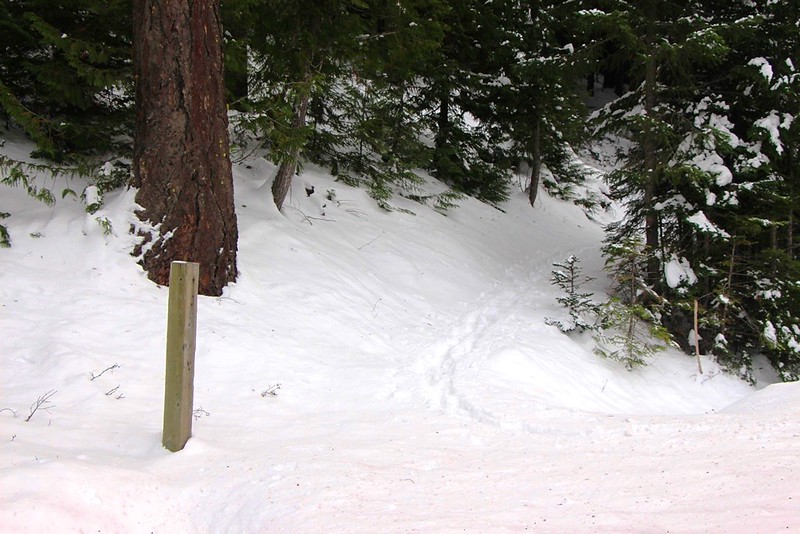
I intended another foray into White River, but concerned about snow depth and high winds—boy was it blowing near Cherryville—I opted for plan B, Lookout Mountain via the Gumjuwac Trail #480 and Divide Trail #458. Someone had ventured up the Gumjuwac Trail, so I had a track to follow for the first half mile. Thereafter it was first tracks—well people first tracks anyhow. Animal tracks showed I was not alone.
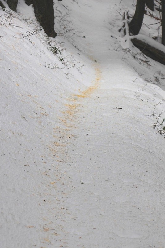
Golden Larch Needles
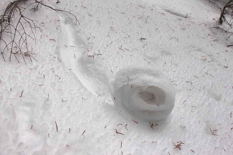
Slow Snow Roll
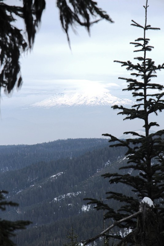
A Glimpse of Adams
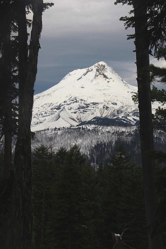
A Glimpse of Hood
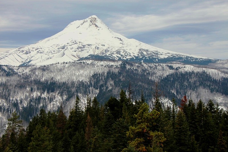
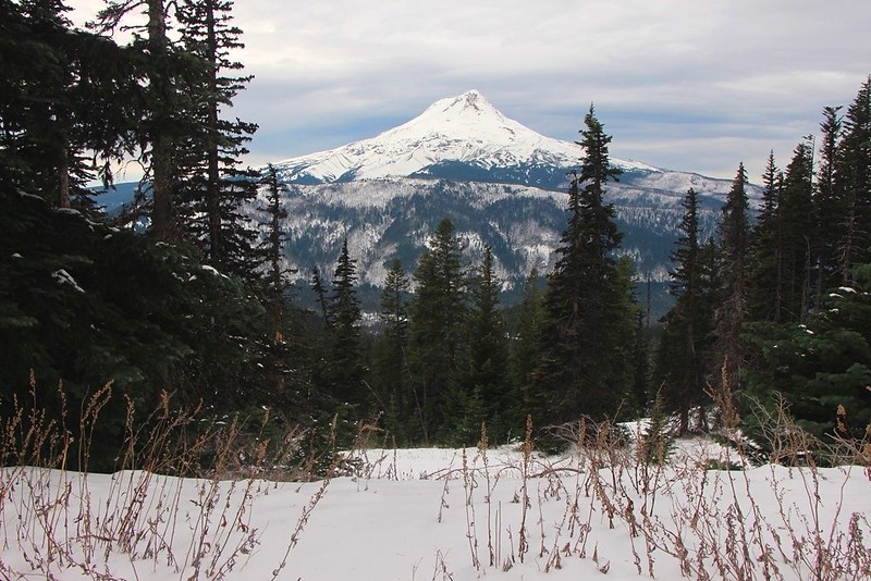
Mt Hood from the viewpoint at 1.8 miles.
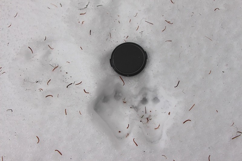
Snowshoe Hare Tracks—Lense cap is 2 ¾” diameter.

Ground Squirrel or Chipmunk Residence
Douglas Squirrel Tracks. The squirrel jumped from a tree, making the rectangular impact crater from which tracks leave.
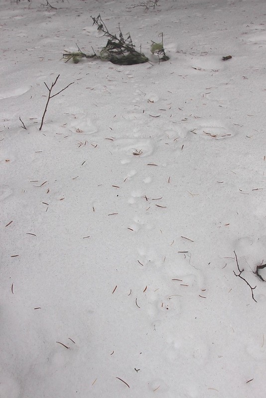
Mouse
Deer
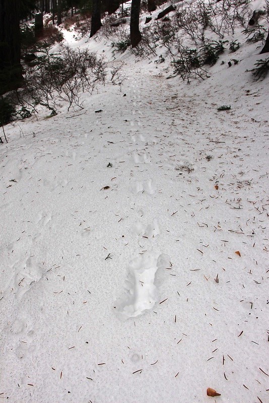
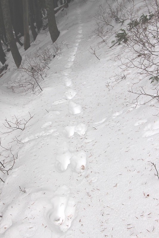
Elk
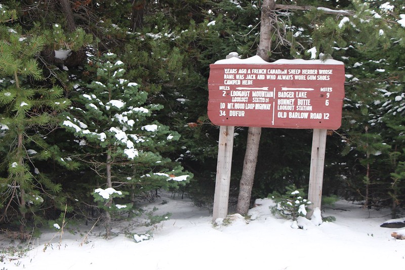
Historic Sign that explains origin of Gumjuwac
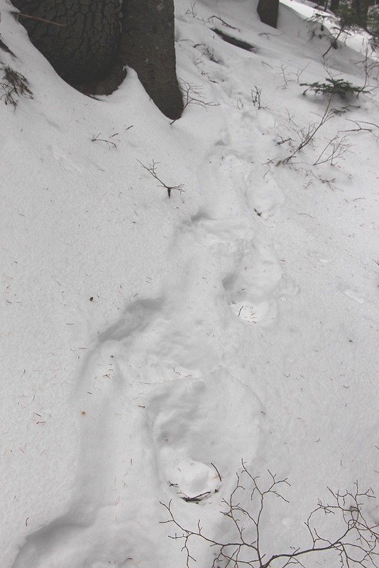
The Gumjuwac Trail continues across the saddle and down to Badger Creek. Fresh tracks showed that an elk had recently come up the trail.
The Gumjuwac Trail intersects the Divide Trail. The south bound part of the Divide Trail was signed for bicyclists, and appeared in good shape. The Divide Trail north to Lookout Mountain was not signed for bicyclists, and looked a little rough:

Divide Trail North of Gumjuwac Saddle.
I travelled maybe 3/8 mile north on the Divide Trail. Snow was deeper and I lost the trail in a clearing where the snow was maybe 18” deep.

Looking Down Badger Creek into Eastern Oregon. Paulina Peak is just visible on skyline at far right.
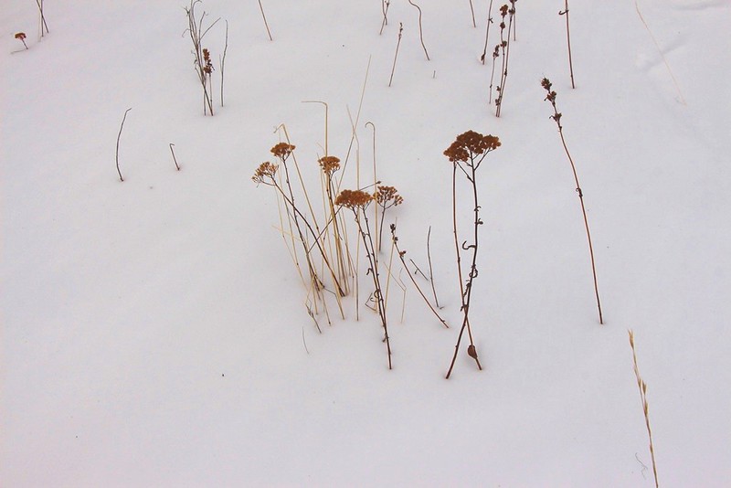
Natural Dried Flower Arrangement.
I switched to the nearby road, which, since it had had a couple vehicles drive it since snow fall, was a lot easier walking. I came to a good viewpoint about a quarter mile further on.
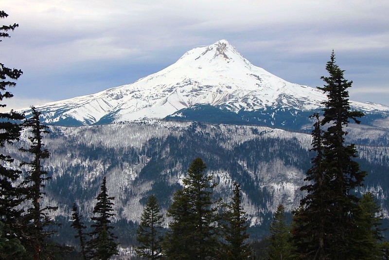
Mt Hood From Road at approx. 45.33851 -121.54024
Closer View. The Black Spider is the “X” shaped area of bare rock near Hood’s summit. The black spider’s shape is replicated in the surviving trees at the photo’s center. Coincidence or is the diety messing with us?
This was my turn around point—I would have had to find the Divide Trail to continue to Lookout Mountain, and with a snow depth way above my 8” boots—I wasn’t keen to do so.
I walked the road back to Gumjuwac Saddle, encountering several more elk tracks along the way. I retraced my route back down the trail. I tried unsuccessfully to capture the nuanced colors of the sky in this photo:
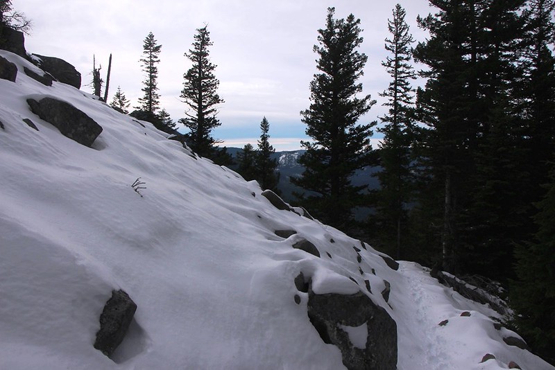
Sky, snow-on-talus, trail.
And, as I hit Highway 35, the sun came out. I snapped this photo of snow pillows in the sparkling water:
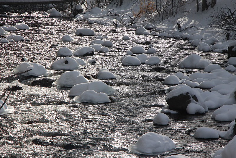
East Fork Hood River.
This was an enjoyable trip with lots and lots of animal sign. The USFS website said trail maintenance was completed end of August, so the 7 blowdowns must have come down since. All are easily passable by adults. Snow depth was 3 to 12 inches and the trail was easily to follow, but that may change with the next storm. The trail is not well blazed for winter travel.


