Goats on Coyote for last sunshine: A loop hike in Goat Rocks

This forum is used to share your experiences out on the trails.
Post Reply
User avatar
Sean Thomas
Posts: 1647
Joined: February 25th, 2012, 11:33 pm

Goats on Coyote for last sunshine: A loop hike in Goat Rocks

Post by Sean Thomas » November 13th, 2014, 9:34 pm

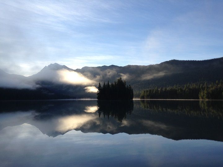
There is something most intriguing about the Goat Rocks Wilderness, from the lesser known peaks and valleys to the wildflower covered slopes that are frequented by thousands of visitors each year, it truly represents everything a hiker could ask for in a wilderness experience. Lucky to live in such a wonderful place and always eager to get one last trip into a high-country devoid of snow, Jojo and I set out for Packwood, Washington early last Saturday morning with plans of hiking a Coyote-Upper Lake Creek loop via Packwood Lake. The hike to Packwood Lake from the TH just outside of town is about 4 1/2 miles on a mostly level trail. We hiked most of that segment before dawn and arrived at the lake about 20 minutes after daybreak with incredible views of Johnson Peak and the tree covered Agnes Island:


Image


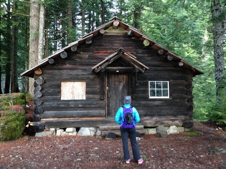
The lake has a long history from the Indians who used to fish, hunt and gather along its shore to the early settlers of Packwood who looked to the lake for hydroelectric power in the early 1900's. This ranger cabin on the northeastern shore of the lake was built in 1910 and is one of the oldest buildings of its kind left in the whole national forest:

Image


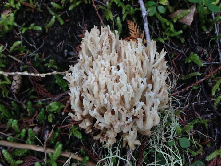
We continued onto the loop segment of our hike by staying on the Packwood Lake trail for another 3 and 1/2 miles as it climbed high above the lake. There were some interesting mushrooms along the way like this Coral Fungus:

Image


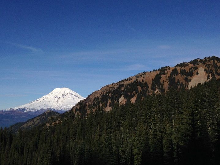
Once we reached the Coyote Trail most of the climbing had been done for the day :) Now it was just time to sagg along and enjoy the fruits of our labor, which consisted of some nice views of Mt Ranier early on:

Image


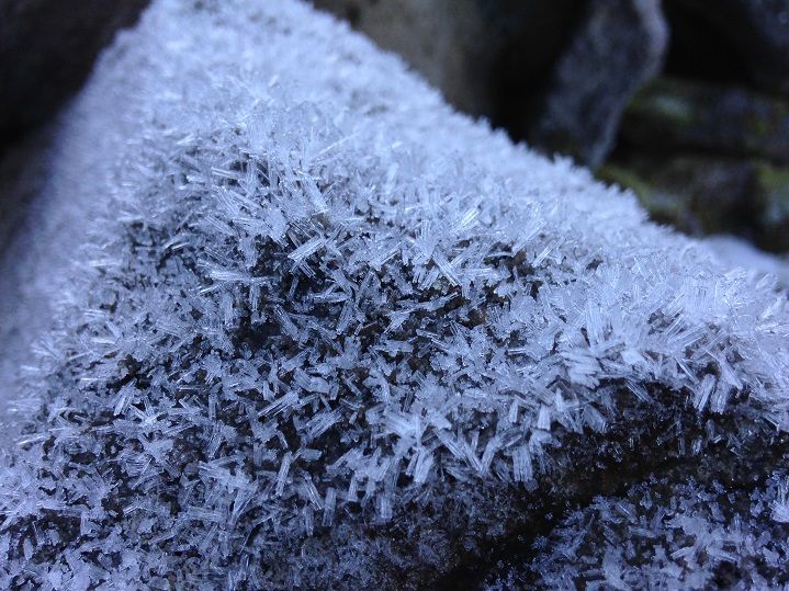
And some interesting frost formations:

Image


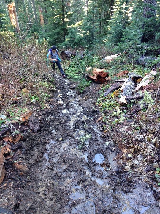
Before breaking out into the open even more there were some muddy sections to deal with :)

Image


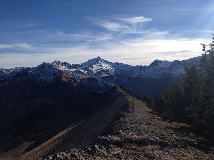
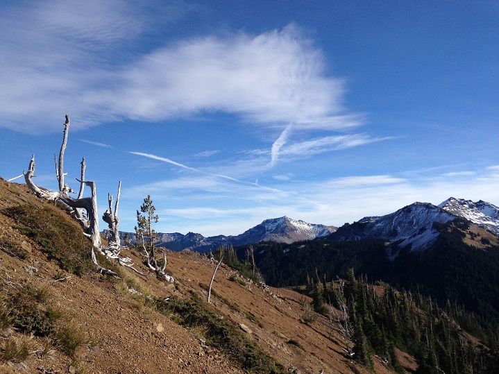
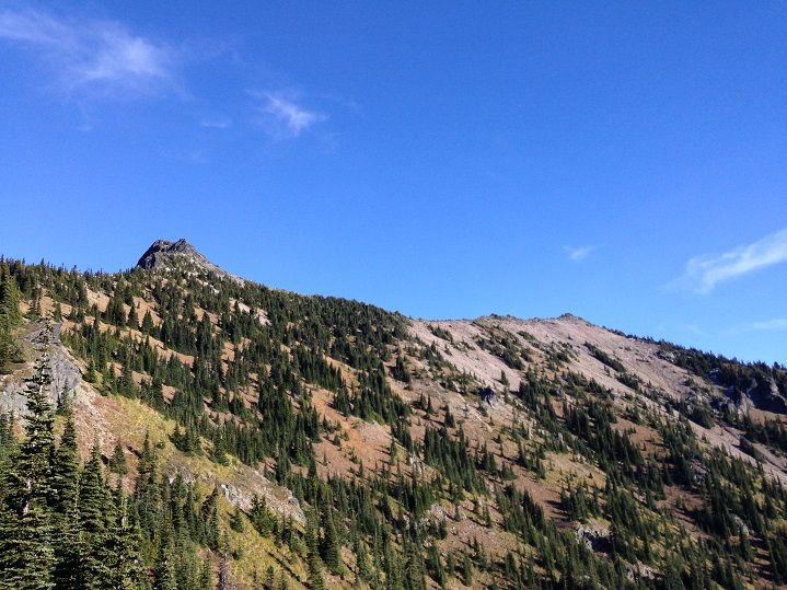
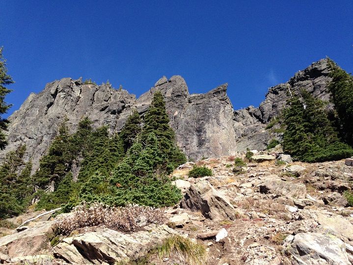
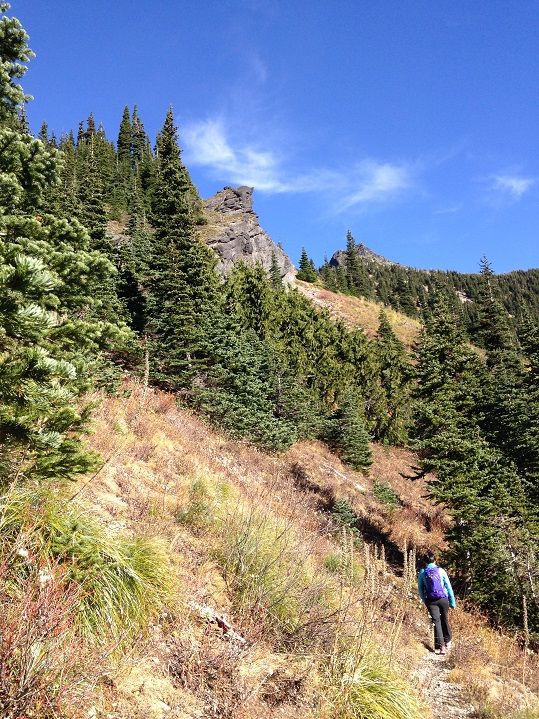
After a couple of miles things really start to open up with lots of interesting highpoints along the ridge peeking out to say hello:
Image


Image


Image


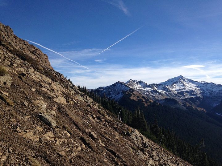
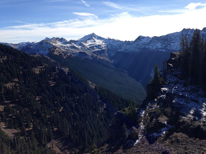
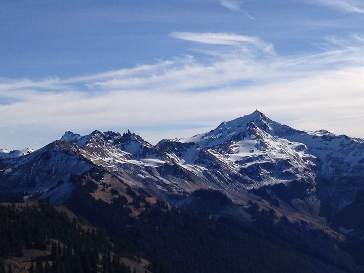
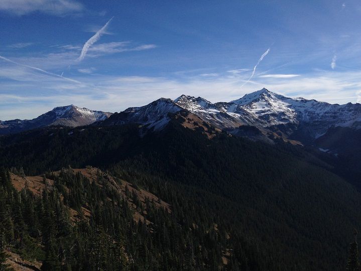
Further along and the epic views of "Goat Rocks" really come to fruition with Old Snowy dominating the view at the head of the Upper Lake Creek drainage:
Image


Image


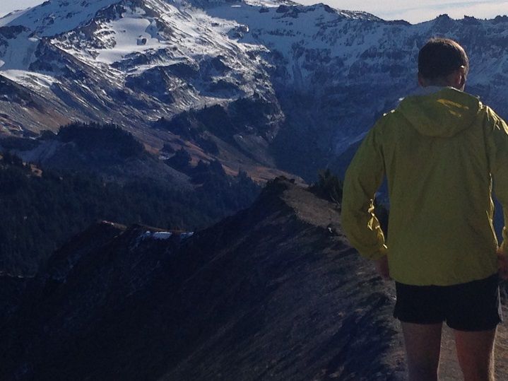
I was in another world of happiness :)

Image


Image


The closer we hiked the better things became :)

Image


Image


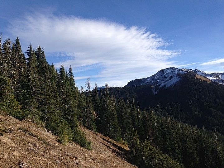
The clouds added another level of awesomeness to an already awesome day:

Image


Image


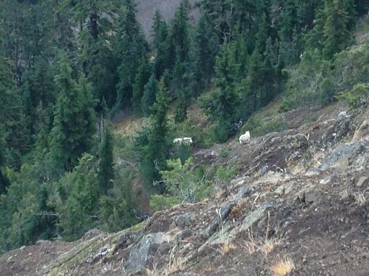
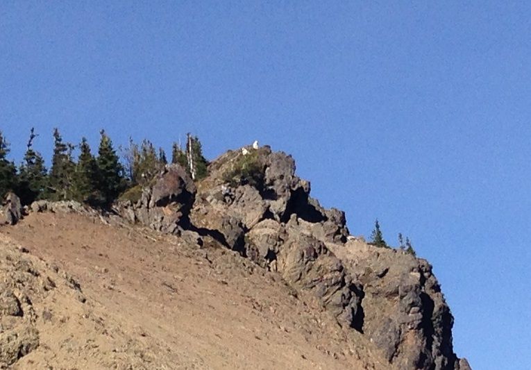
Although we didn't see any Coyotes on the Coyote Trail we did share the ridge with about a dozen or so Mountain Goats. Here are a couple of them peeking over the edge at us:

Image


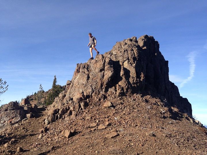
I pretended to be a goat for a second but it wasn't a very convincing imitation:

Image


More goats down off the ridge:


Image


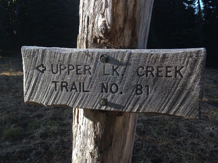
After lunching with the goats for longer than planned we finally reached the Upper Lake Creek Trail junction at Packwood Saddle and our 7 1/2 mile ticket back to the lake trail:

Image


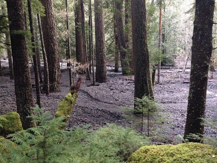
The trail heads west along a tributary stream(Saddle Creek) as it loses elevation and descends into the Upper Lake Creek drainage. Several other tributary streams that dive off the ridge the Coyote Trail traverses have washed out the trail in many sections. In some cases it has been washed out by Upper Lake Creek itself leaving an eerie forest floor full of rock and debris:

Image


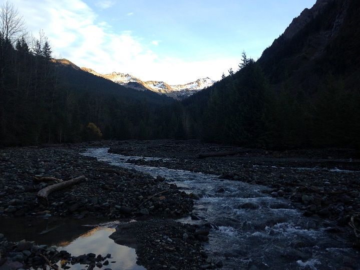
The trail meets the creek at one point but can be picked up just a few hundred yards downstream as it reenters the forest. The views back up the creek were amazing:

Image


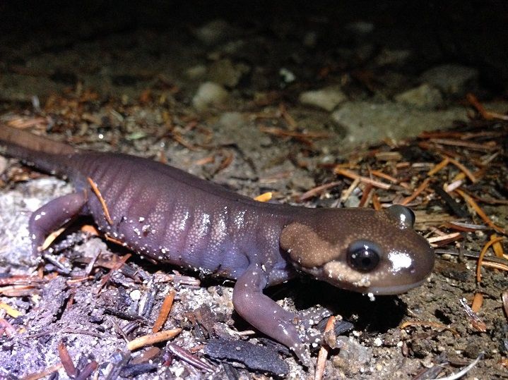
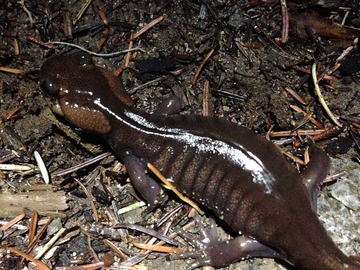
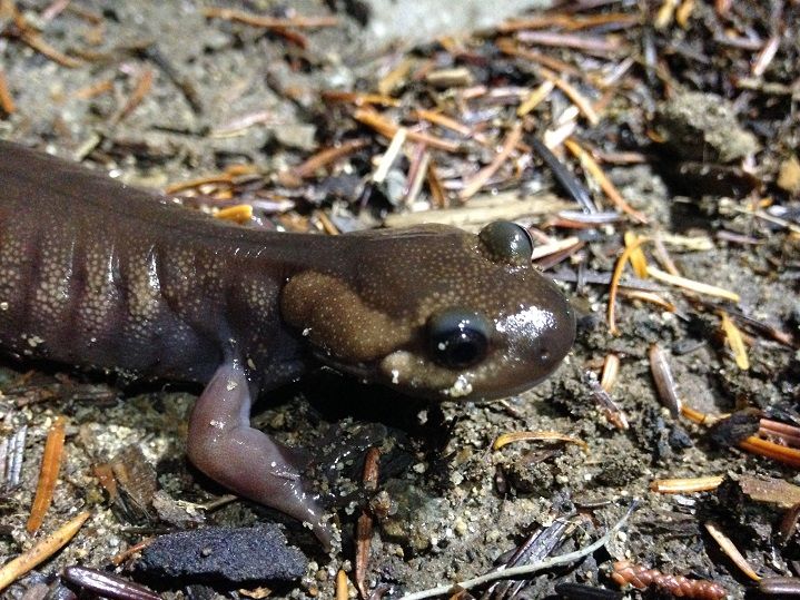
After a few stream crossings near the lake(one named Beaver Bill Creek) we hit the well used segment of trail around the lake with some light left to spare. From that point we just hiked back along the shore as the day ended and night began to fall. Sort of funny as we ended up hiking the 4 1/2 mile stretch back to the TH in complete darkness, again :D But it's more than worth the trade off this time of year with all the time we got to spend just lazing and exploring around the ridge top viewpoints and awesome creek side habitat earlier in the day. Also, a few Northwestern Salamanders were out on night patrol checking for NWFP's ;)

Image


Image


Image


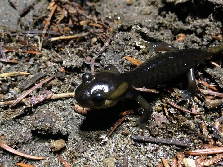
This one was about 1/3 the size of the fellow pictured above:

Image


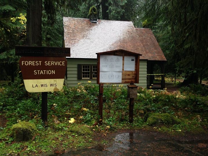
We stayed in a small hotel in Packwood again where we both tarped out after some dinner. The next morning came and with it came the rain. Spoiled by the nice weather the day before we decided on a couple of short hikes near Packwood in the nearby National Park. Not sure if we were required to pay or not but I pretty much just spaced it as we haven't done hardly any hiking inside many National Parks. Anyway, our first choice was a quick stop just outside the park at Grant Purcell Falls and the La Wis Wis Campground off hwy 12:

Image


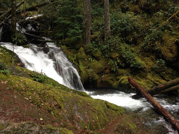
The campground was closed so we parked at the gate and walked through the campground to reach the creek. The phone died at the creek and this was the only shot I got, but it was beautiful to watch the stream cascade down the little gorge:

Image


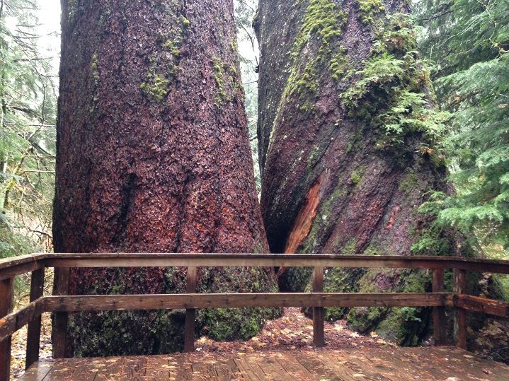
Next stop was a trip that would take us back in time almost 1,000 years in some cases as we hiked to the Grove of the Patriarchs inside Mt Ranier National Park. The trail travels along the crystal clear waters of the Ohanapecosh River with a side trail taking one across the water on an outstanding suspension bridge. Interpretive signs along the route clue visitors in to the way of an Old Growth Forest with the crown jewel of the grove being two 1,000 year old Douglas Firs that still cling to life:
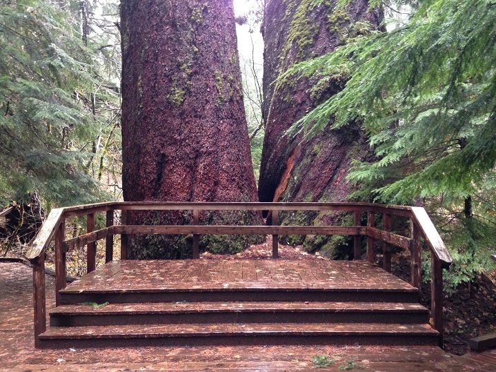

Image


They were absolutely massive:


Image


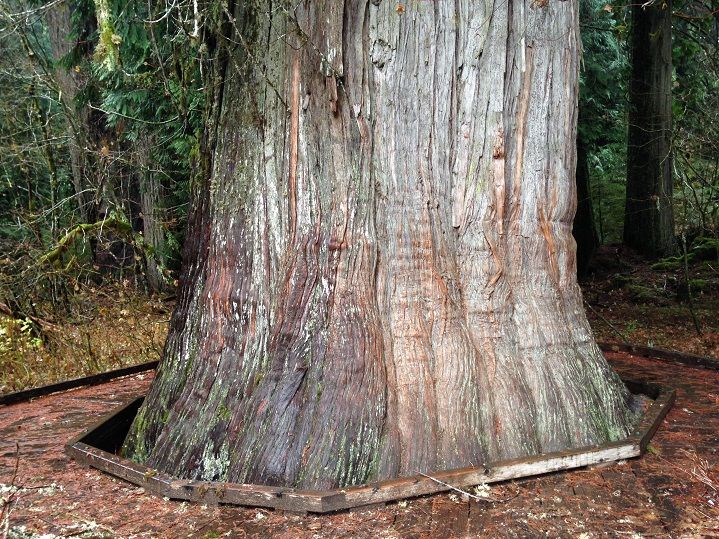
Along with the two giant doug firs were several Western Red Cedars of great size and girth. Check my Santa Hat for scale:
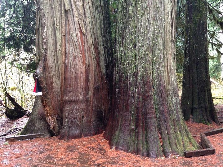

Image


This one was the largest:


Image


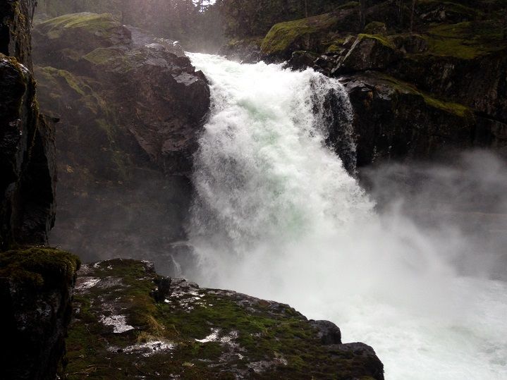
Last but not least was a quick solo visit to Silver Falls just off the hwy. I wasn't expecting such an incredible setting around the falls but it was amazing in there:
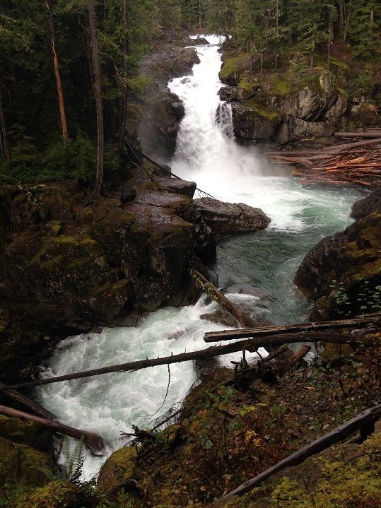
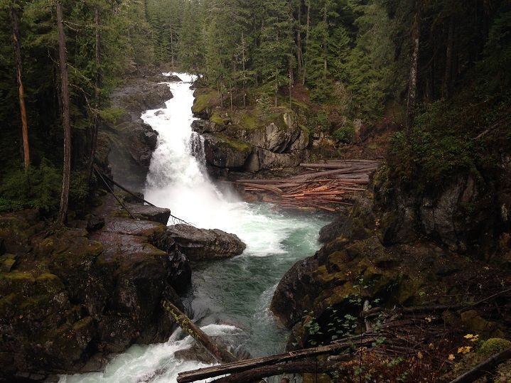
Image


Image


I had to get a closer look:


Image


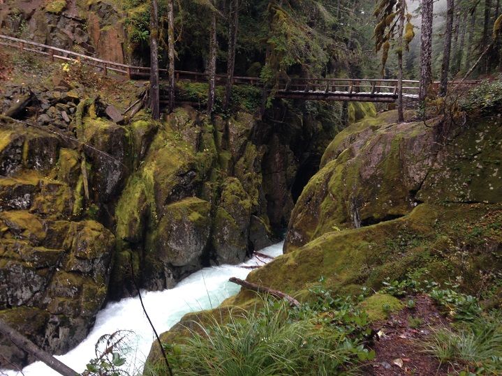
One last shot of the equally impressive trail just downstream of the falls to close out another great trip to the woods :)

Image
Last edited by Sean Thomas on November 14th, 2014, 9:41 pm, edited 1 time in total.

User avatar
kepPNW
Posts: 6411
Joined: June 21st, 2012, 9:55 am
Location: Salmon Creek

Re: Goats on Coyote for last sunshine: A loop hike in Goat R

Post by kepPNW » November 14th, 2014, 6:30 am

Wow, just looks like yet another really great adventure. I've thought about staying in Packwood, and exploring the area. Might need a recommend some day. Getting into Goat Rocks this time of year hadn't even occurred to me! Though I suppose now it's probably not as much an option.

Those trees in the park are truly amazing! Do you remember if they had any signs telling the diameter or circumference of the 1000-yo dougs? I'd love to have a feeling for that age, when I'm wandering old groves elsewhere.
Karl
Back on the trail, again...

User avatar
Zia
Posts: 252
Joined: September 1st, 2013, 8:30 pm
Location: Salem

Re: Goats on Coyote for last sunshine: A loop hike in Goat R

Post by Zia » November 14th, 2014, 7:49 am

Great trip report! That is still and area I haven't been too yet but it's high up on my wish list of areas to explore. Approximately how many miles was your first day round trip?

User avatar
Splintercat
Posts: 8333
Joined: May 28th, 2008, 10:03 pm
Location: Portland
Contact:

Re: Goats on Coyote for last sunshine: A loop hike in Goat R

Post by Splintercat » November 14th, 2014, 4:57 pm

Nice, Sean - love those big trees!

Tom :)

Lumpy
Posts: 809
Joined: October 8th, 2012, 9:26 am

Re: Goats on Coyote for last sunshine: A loop hike in Goat R

Post by Lumpy » November 15th, 2014, 2:03 am

I like the pictures, the color and balance seems very good, so I'm wondering what camera you're using. Please pardon me if you've put the information somewhere else in the forums.
"Why are you always chasing women?"
"I'll tell you as soon as I catch one!"

User avatar
woodswalker
Posts: 835
Joined: November 25th, 2012, 4:51 pm

Re: Goats on Coyote for last sunshine: A loop hike in Goat R

Post by woodswalker » November 15th, 2014, 7:07 am

Great report. Loved those views. Now I really, really have to go to Packwood lake.

User avatar
acorn woodpecker
Posts: 240
Joined: January 4th, 2013, 8:35 pm

Re: Goats on Coyote for last sunshine: A loop hike in Goat R

Post by acorn woodpecker » November 15th, 2014, 1:21 pm

Thanks for all your Goat Rocks TRs this season, Shawn. What a nice swan song for the area you and Jojo chose. There were more great TRs than I can remember that came out of the area. Wished I had the opportunity to make it up this year, but the obligations of life got in the way (not to mention the ever longer list of places to go!). Glad to be able to live vicariously through TRs such as yours with the places I cannot get to currently.

forestkeeper
Posts: 1291
Joined: July 23rd, 2011, 8:31 pm
Location: Canby, Oregon
Contact:

Re: Goats on Coyote for last sunshine: A loop hike in Goat R

Post by forestkeeper » November 17th, 2014, 8:31 am

:D Awesome photos, Sean! Great info and TR's. Have you ever considered leaving the landscaping trade to photo journalism? ;) Still waiting for that 1st Hiking the NW book.

User avatar
Sean Thomas
Posts: 1647
Joined: February 25th, 2012, 11:33 pm

Re: Goats on Coyote for last sunshine: A loop hike in Goat R

Post by Sean Thomas » November 21st, 2014, 9:51 pm

Hey thanks for all the wonderful replies everyone, I really do appreciate it! And sorry for the late answers to the questions here.


Karl - There was a sign next to the Doug Firs but I believe it only described their age.


Zia - I think the first day was about 26-28 miles but I'll have to check it out!


Lumpy - Thanks! And no worries, i'm always happy to answer pretty much any question :) For this trip I borrowed Joie's I-phone :lol: It does take some really nice shots.


Hey thanks FK :) We'll see what the future holds :)

Post Reply