As part of my Sunday, I finally decided to hike the Blue Box Trail from Wapinitia Pass to Clear Lake. The
Forest Service does have a page on it, but there is little other information to be found, so I’m putting it up here for the record.
I began at the Frog Lake Sno-Park, crossed Highway 26 on the PCT and, 100 yards in, took a left on the Blue Box Trail #483. The signs for this trail and the PCT are now down. Blue Box rises gradually over a broad, rounded summit and then drops more steeply past rocky outcrops to Clear Lake. It’s about four miles one-way.
If there is one feature that encapsulates the spirit of the Blue Box Trail it is old growth. Most of the trail is through old growth forest, with some substantial noble firs and Douglas-firs on the up slope and crest and then more massive Doug-firs and western hemlocks down towards Clear Lake. The trail passes through two small clearcuts on the crest, where you can go off-trail to get a view of Mt. Hood from one and Frog Lake Buttes from the other. The trail also passes close to other clearcuts, but does an admirable job of keeping you most of the time in unlogged forest.
The trail has been logged out and seems to be well-maintained. It may get more horse than hiker traffic (I’m going by the evidence), but probably very, very little of both.
You will also cross four roads: the newer FR 2660-220 spur on the up slope and, on the down slope, FR 2660, paved FR 2630 (both of these in the heart of the best old growth) and a primitive track along the shore of Clear Lake. A sign at the crossing of FR 2660 indicates a viewpoint up the trail, but that is long grown in.
Clear Lake was a natural lake whose shoreline was lifted following construction of the Wasco Dam in 1959. It is operated by Wasco County for irrigation purposes. Downstream, much of Clear Creek’s water is channeled off into the Clear Creek Ditch before the creek meets the White River at Keeps Mill. The low profile of Clear Lake Butte dominates the skyline to the south. There’s a cabin lookout for rent on top of the butte.
Clear Lake is now about 10-15 feet below high water levels. There is a Forest Service campground on the east shore. Rough roads circle the lake shore, which is littered, literally, with primitive campsites. Beer cans, plastic bottles, shotgun shells, TP flowers and other iconic detritus of the great outdoors abound.
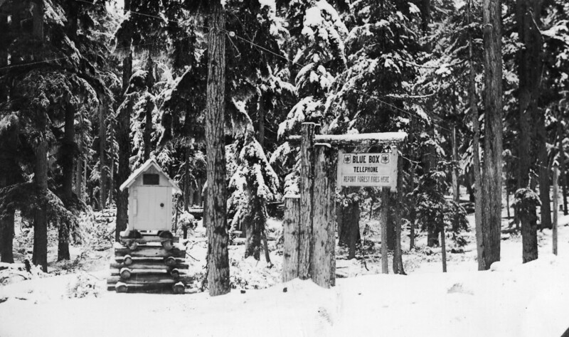
The Blue Box Trail is named for Blue Box Pass, one and a half miles south of Wapinitia Pass where FR 2660 peels off of Highway 26. Apparently, the USFS kept a phone here in a box. And the box was blue.