
Opening picture: Mount Stuart and Headlight Creek from Headlight Basin, just below camp.
This Friday my dad and I took a quick trip to Headlight Basin and Lake Ingalls in the Alpine Lakes Wilderness to see the larches. (WTA trail description here.) The short story is that the larches are a tiny bit past peak but still pretty good, the trail is still open... at least it was yesterday, and oh my god the area is beautiful. I'd never been to the Alpine Lakes before. Now I'm planning a good part of next summer around going back again (and again and again).
Friday
It's a long way to the Alpine Lakes - like, a five or six hour drive. We left Portland around five, drove east to Biggs, north to Ellensburg, on the truly awful North Fork Teanaway Road, and finally got to the Esmeralda Trailhead in the late morning. There were small passenger cars there, and my dad did fine in his Forester, but I probably would have had a few dozen panic attacks.
The trail follows an old mining road along the Teanaway River (creek? brook? steam? trickle?) for a little under a half mile before turning right (east-ish) out of the valley.
"River" feels a little grand, doesn't it?
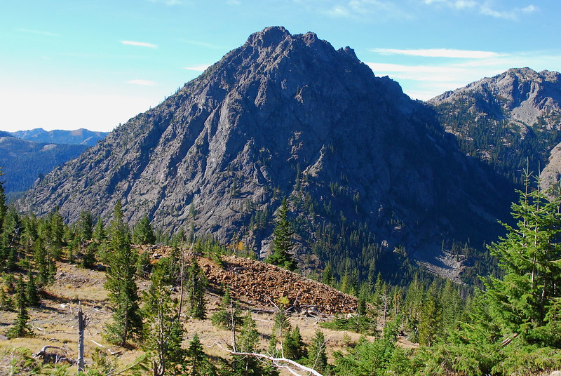
Esmeralda Peak, across the way.
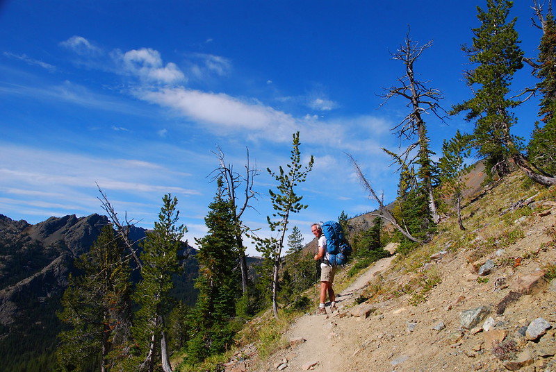
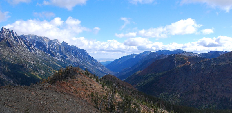
The trail's pretty open from the outset... and my dad was in front of me the whole time.
There was a controlled Forest Service burn going on back in the valley, but the smoke never made it up to us.
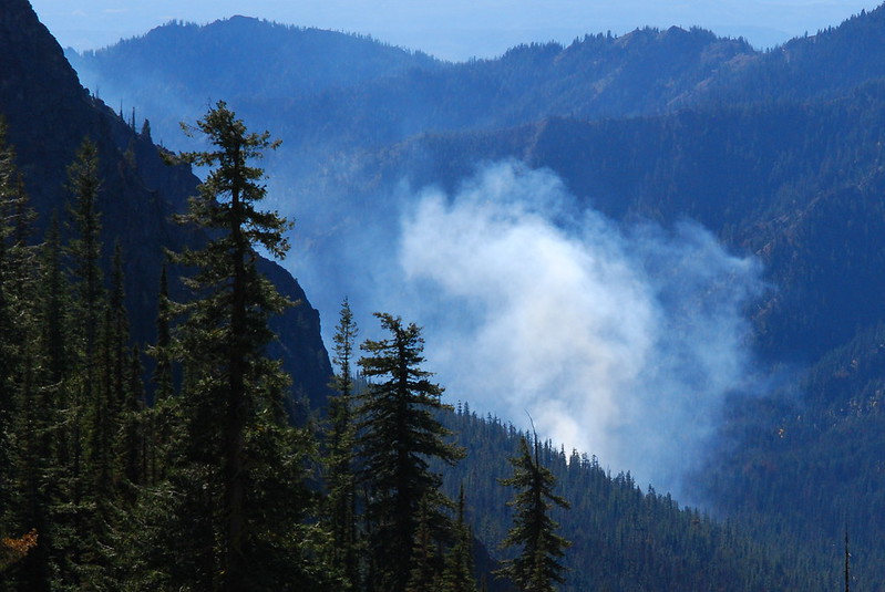
At least it's not in the Three Sisters...
After a couple miles, we passed a junction with the trail to Longs Pass, then started ascending a little more steeply toward Ingalls Pass.
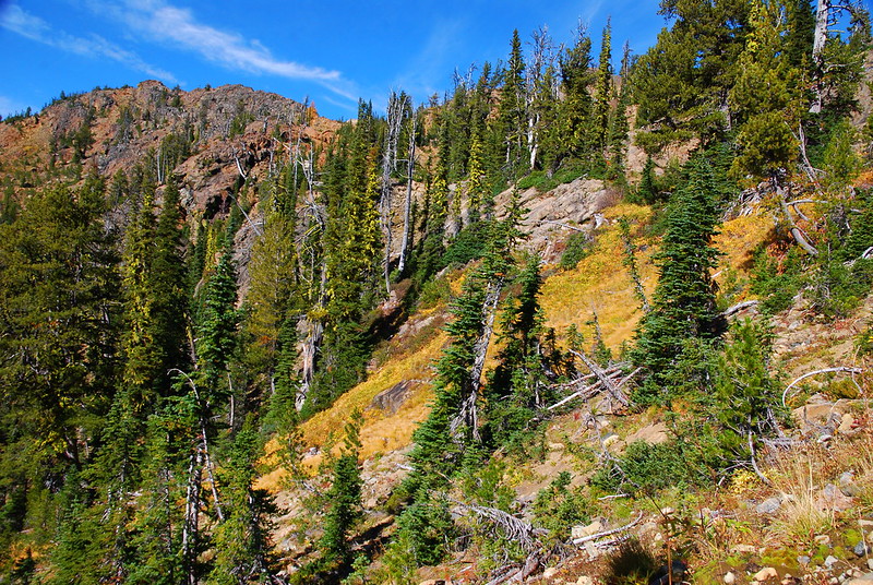
Fall colors, just below Ingalls Pass.
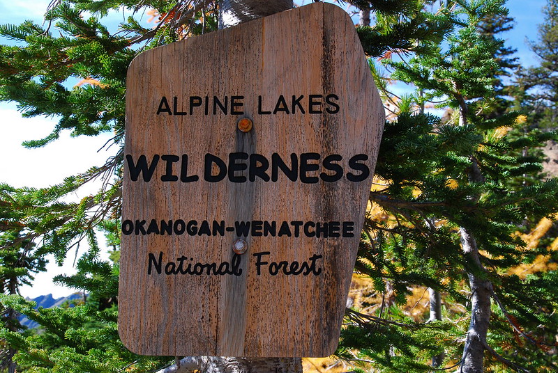
The Alpine Lakes Wilderness begins right at the pass.
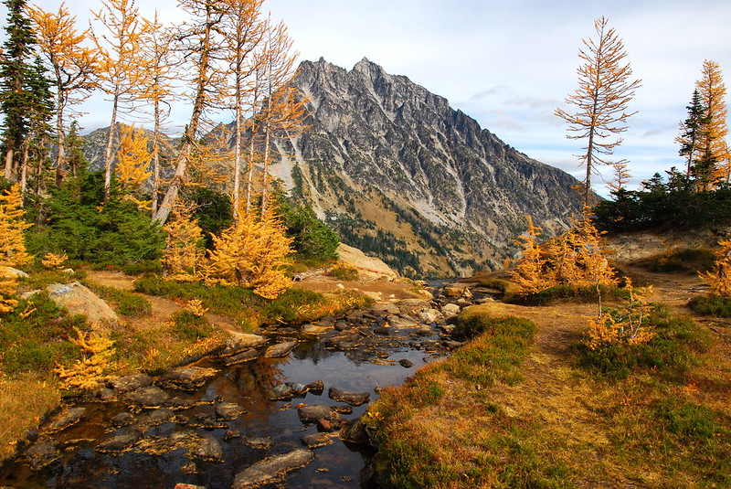
And then, as we entered Headlight Basin... larches! I'd never seen a larch before, at least not a golden one.
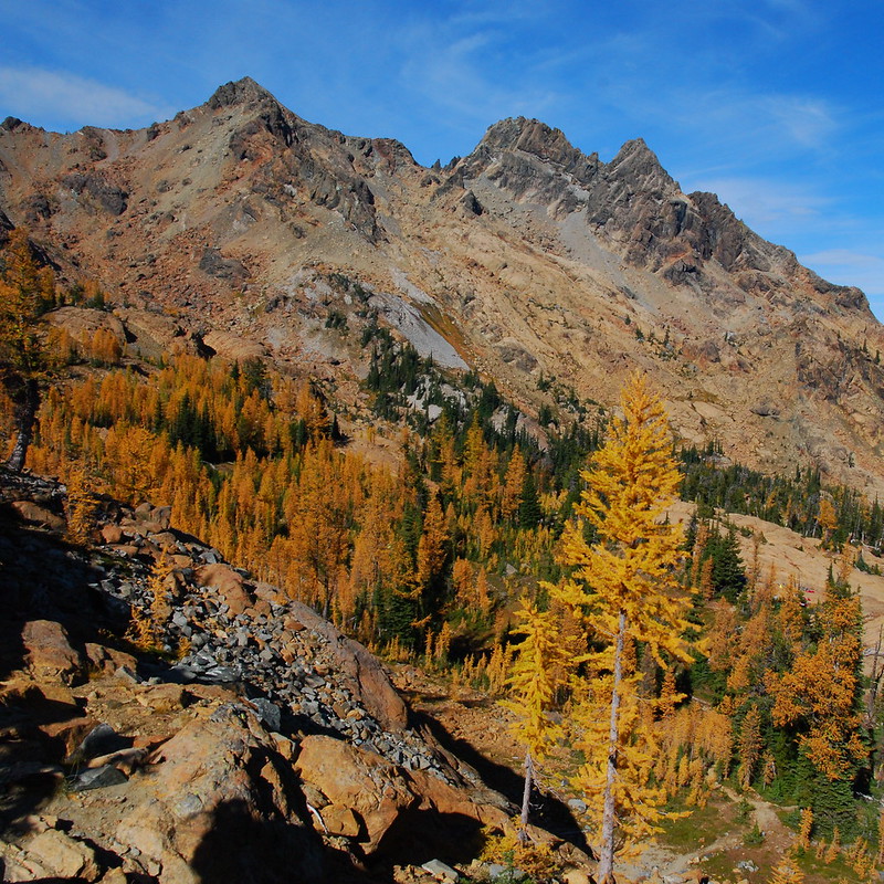
Larches, Headlight Basin, and Ingalls Peak, from Ingalls Pass.
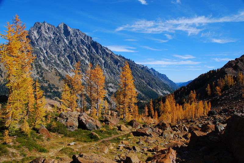
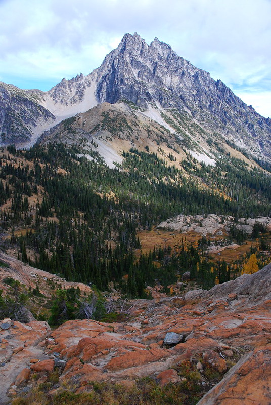
Mount Stuart.
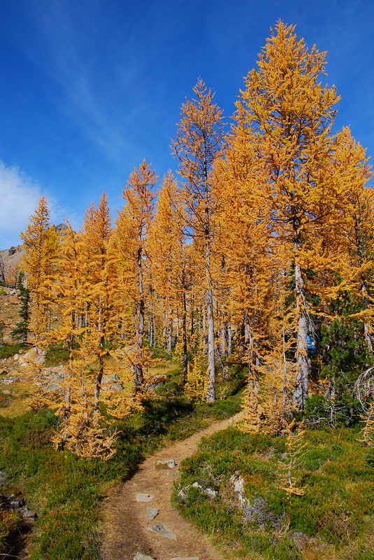
I took A LOT of these.
These too.
See?
We set up camp near Headlight Creek, ate a quick lunch, then headed off for a dayhike to Ingalls Lake.
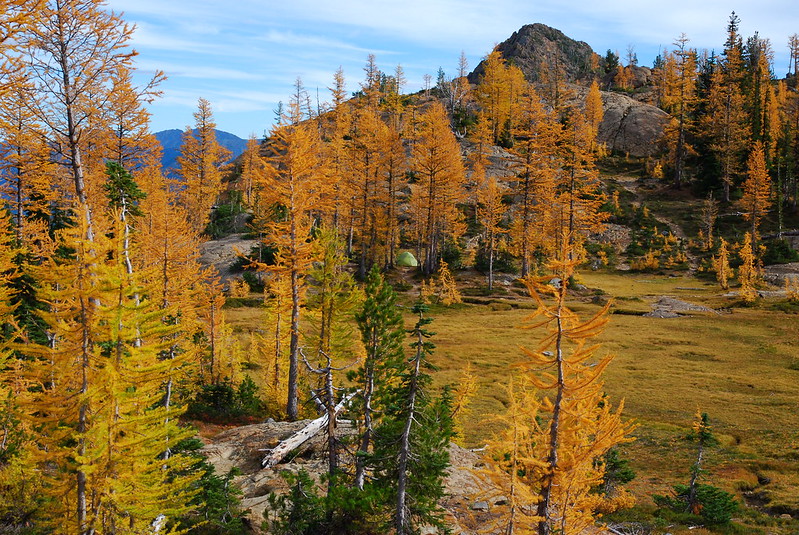
Our tent's in the center.
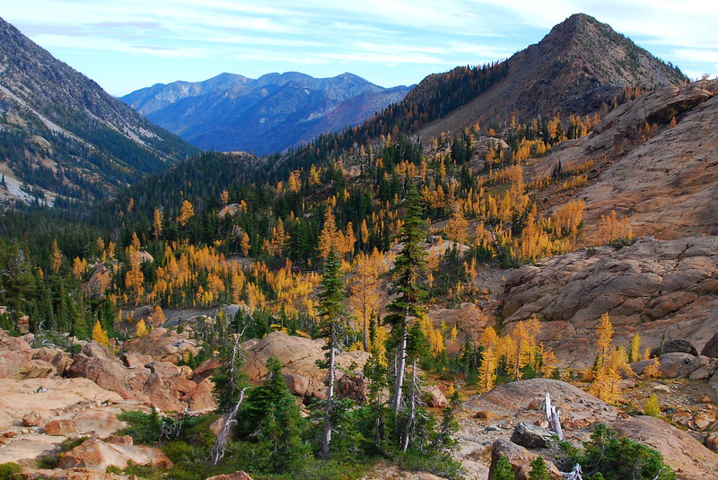
The view back toward Ingalls Pass and the Ingalls Creek basin.
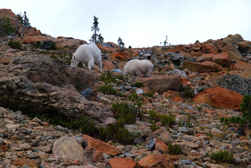
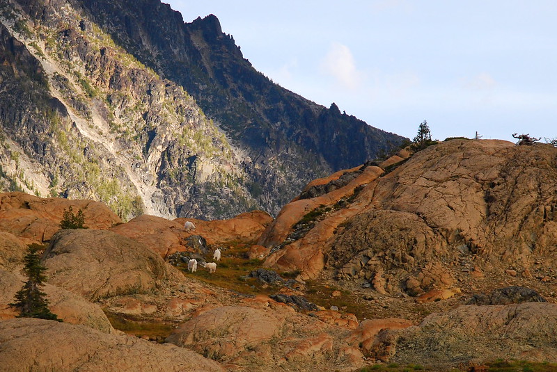
Maybe a half mile in, we ran into a few friendly goats having an afternoon snack. They were so jaunty! I'm used to the cantankerous, anti-social kind. These guys just wanted to be friends.
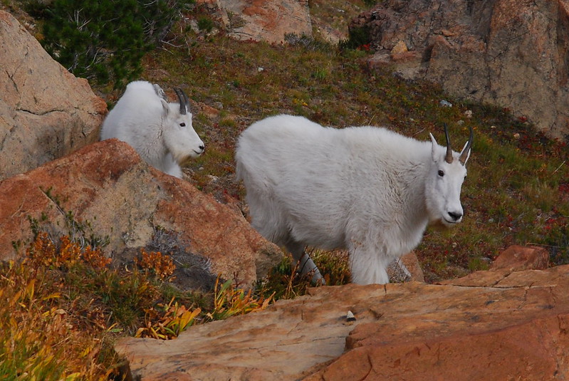
Hello there!
SNACK ATTACK!
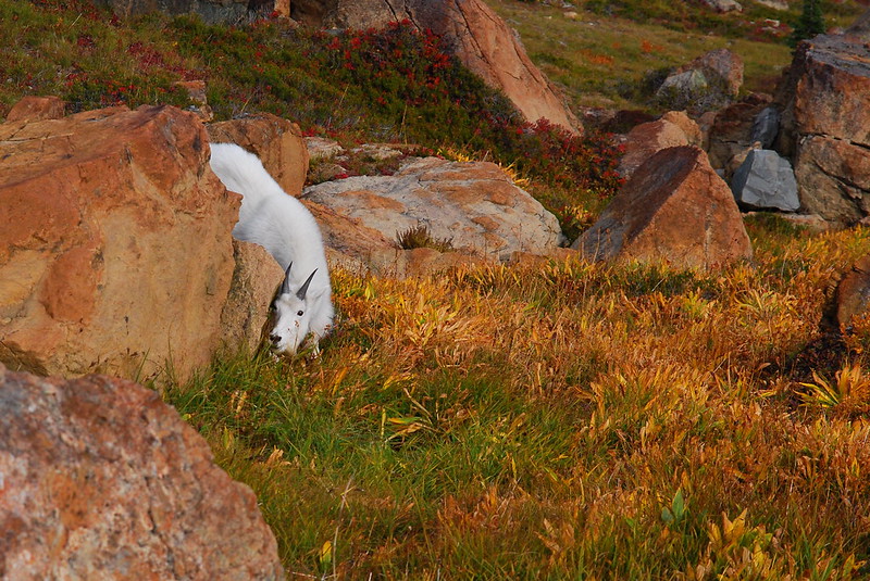
Hiding?
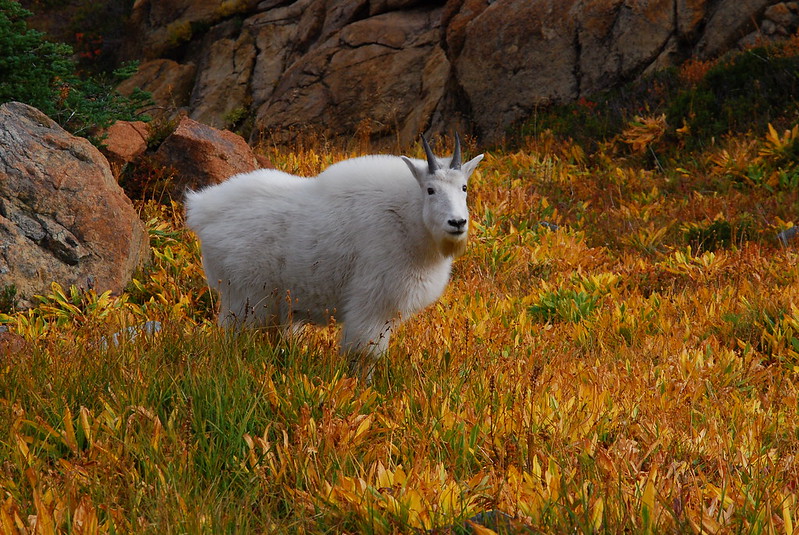
"What are you looking at?"
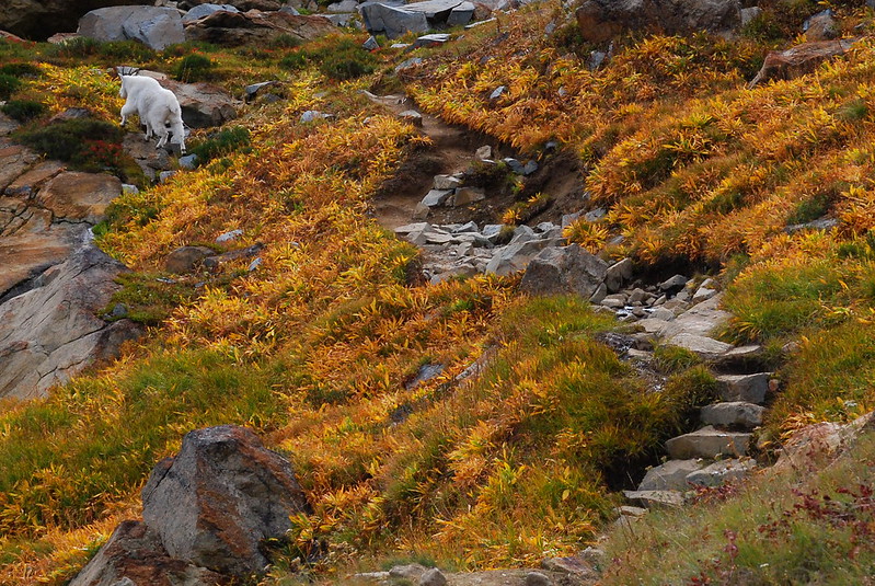
Apparently the human trail doubles as a goat one.
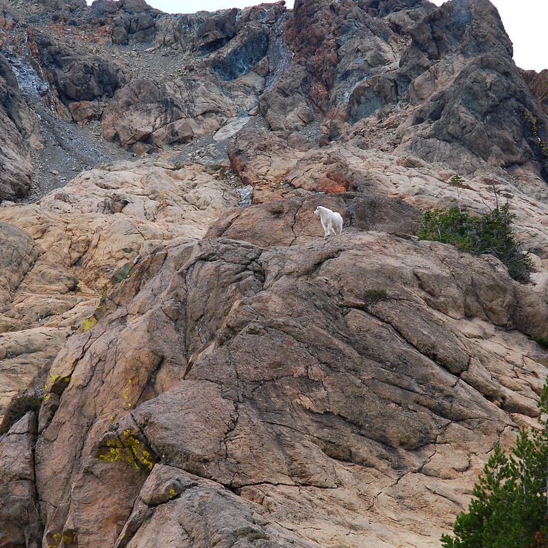
Loner.
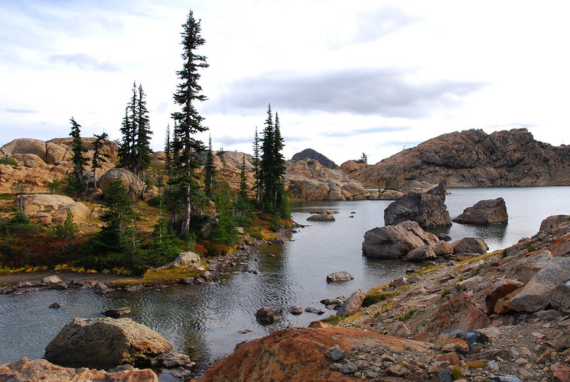
The trail to Ingalls Lake is funny. You're contouring around Headlight Basin, you go up a short (steep!) hill, then suddenly you're at this huge lake that seems to have come out of nowhere. Huge. I couldn't get it in one picture, so here's a panorama.
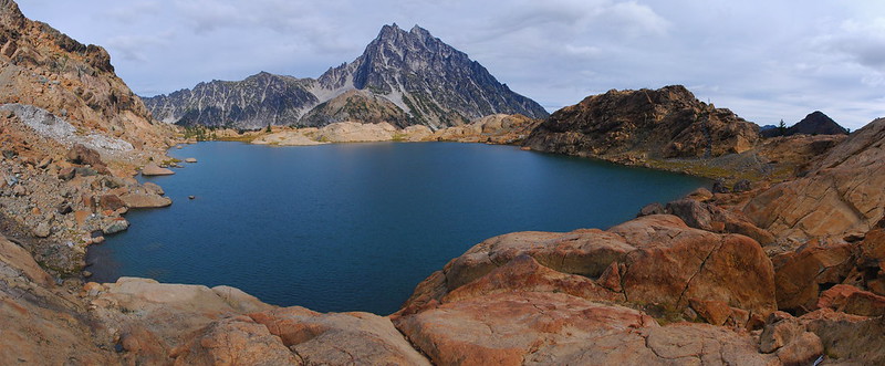
Ever use Hugin?
There's no trail around the lake, but, if you head to the left, you can pretty easily pick your away across the western shore. The eastern shore is impassable, unless you're far more adventurous than I am.
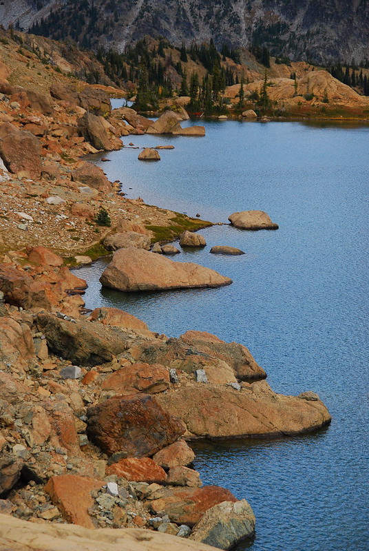
West shore.
Along the way there was the coolest lichen.
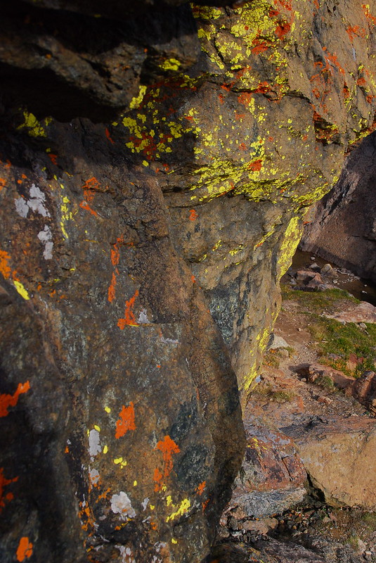
I really ought to learn the names of these things some day.
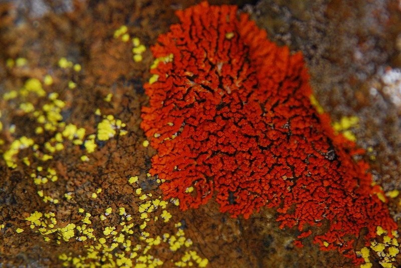
I mean, I do know some names. For example: this one's "Red."
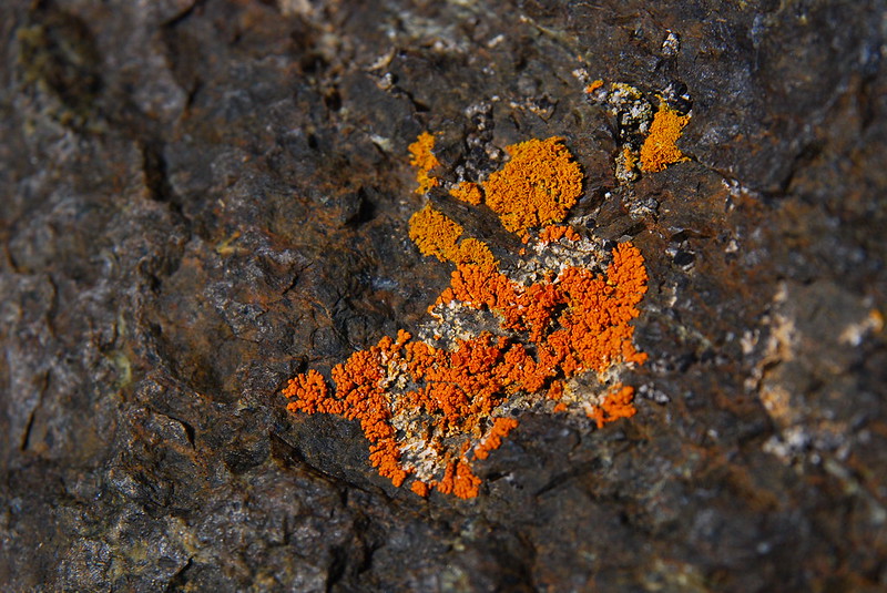
This one's "Orange."
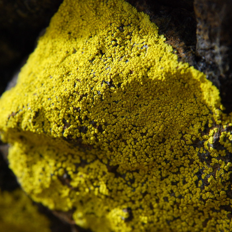
And this one's "Yellow." Nailed it.
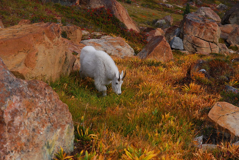
My favorite part of the lake was probably the north shore, where there's a small, rocky inlet. And, of course, more goats.
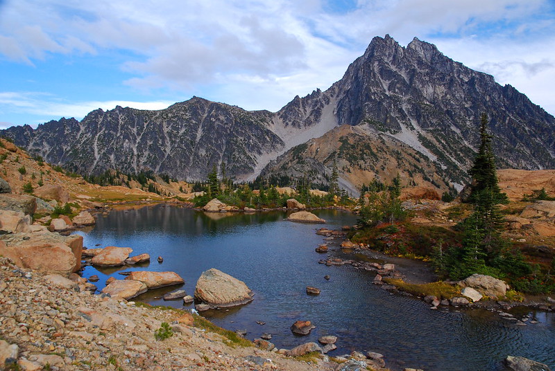
Mount Stuart, again.
Ingalls Lake, again.
GOATS!, again.
There's also a beautiful little meadow below the lake and a ridge that you can follow to get to Stuart Pass. Things to explore next time...
Stuart above the meadow.
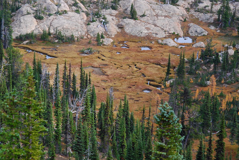
Meadow tarns.
Before heading back, we walked a little ways up the ridge that eventually leads to Stuart Pass, and got a great view of the Jack Creek drainage.
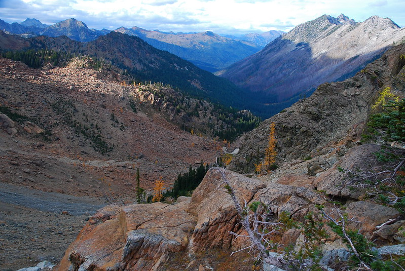
There's a trail there, too...
Heading back, there were (still more) goats, now congregating on the northeast shore for an evening snack. We headed back to do the same.
"What are you guys having?
We had this delicious chicken, onion, pepper, and tomato thing. My dad's a lot looser with weight than I am, and brought fresh vegetables, canned tomato, the whole thing. I could get used to eating that way.
Saturday
Friday night was windy and a little rainy, but actually much better than the forecast warned. We woke up to clouds covering Mount Stuart.
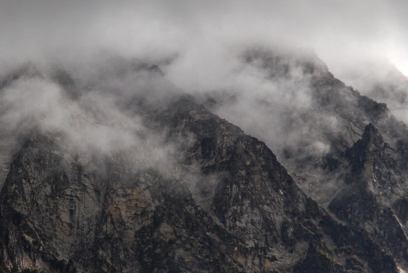
At least they weren't on us.
The weather got progressively worse as we packed up and started the hike out, but it was still nice enough that we took the short side trip to Longs Pass. It's maybe half a mile and 700 feet up and definitely worth your time if you're ever anywhere near.
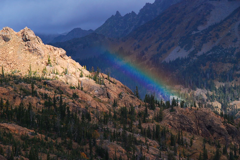
Rainbow over Ingalls Creek.
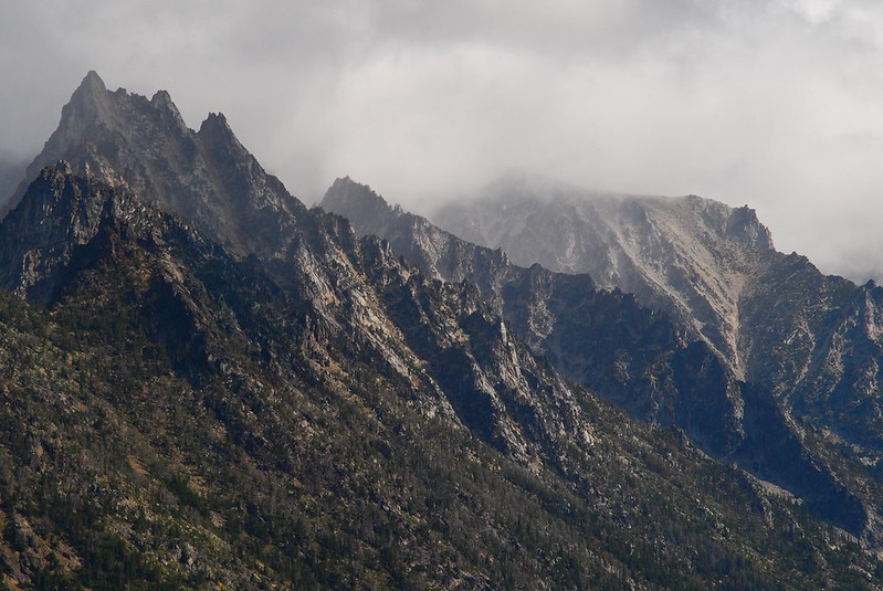
Clouds over Sherpa Peak.
And sun over the Ingalls Creek.
From Longs Pass, it was just an easy few miles back to the car. The rain became more and more constant, and we must have passed something like 200 (!) people headed up to see the larches. I hope their views were as good as ours.


