When: 10/4/14
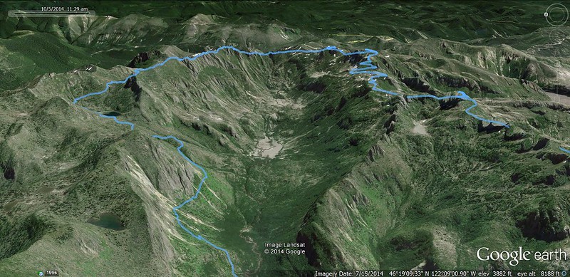
Route: Coldwater Lake TH (2450'), Hwy 504 east, South Coldwater TH (2555'), South Coldwater Trail to Coldwater Peak Trail jct (3825'), Coldwater Peak Trail to Boundary Trail jct (5080'), Boundary Trail to Whittier Ridge Trail jct (5570'), with side trips to The Dome (5700'), Mt. Margaret (5858') and Mt. Teragram (5850'?), Whittier Ridge to Lakes Trail jct (5200'), Lakes Trail west past Coldwater Peak Trail jct (2630') back to Coldwater Lake TH
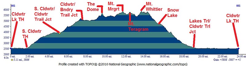
Mileage: Trip computer 25.2 miles, GPS Fly 23.93 miles
Elevation Gain: Trip computer 6443', GPS Fly 5778'
My wife, Dawn (Forest Panther) had plans to go kayaking with a group of friends on Coldwater Lake. I'm not a kayaker, but I tagged along to get in another awesome late-season hike. Our group camped at Seaquest State Park, which is only 45 miles away from Coldwater Lake. That meant that I could get up at 5 AM and be at the Coldwater Lake TH at 6 AM. Who needs sleep, right?
I created a map based on information provided by Adam Schneider. Thanks Adam! I believe the mileage numbers he noted are accurate.
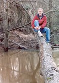
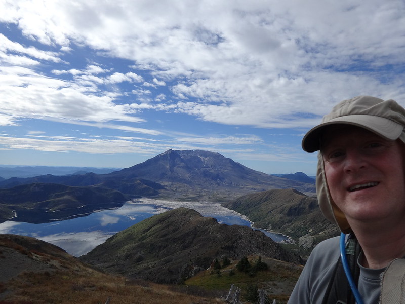
Opening picture:
Google Earth overview:
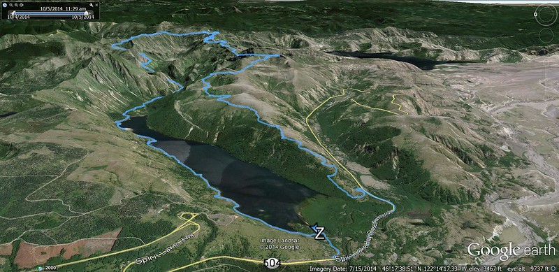
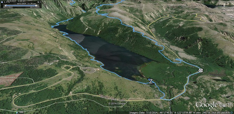
Google Earth (east side):
Google Earth (west side):
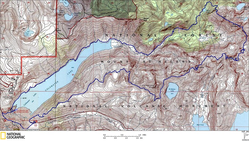
Nat Geo overview:
Elevation profile:
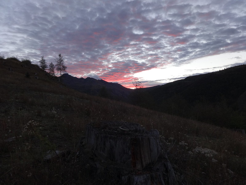
Sunrise from the South Coldwater Trail:
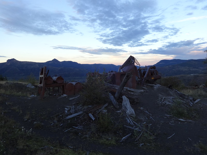
One of the pieces of wrecked logging equipment on the South Coldwater Trail:
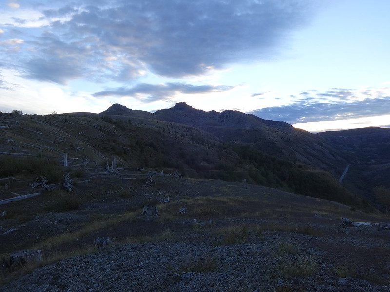
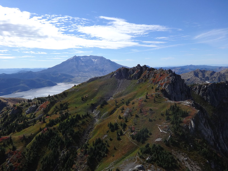
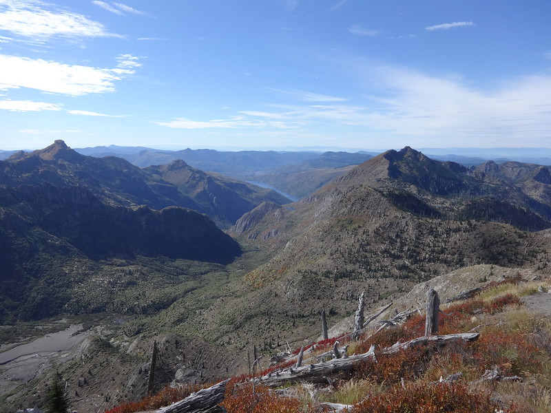
Coldwater Peak in the distance:
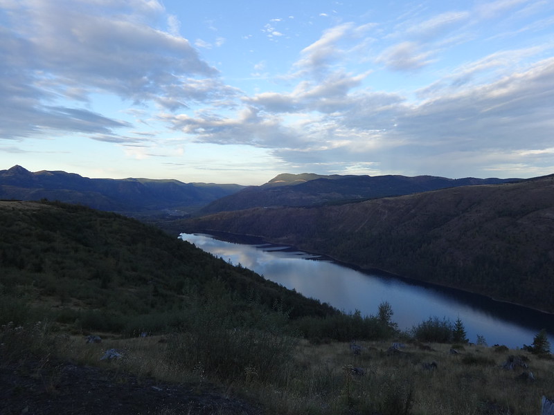
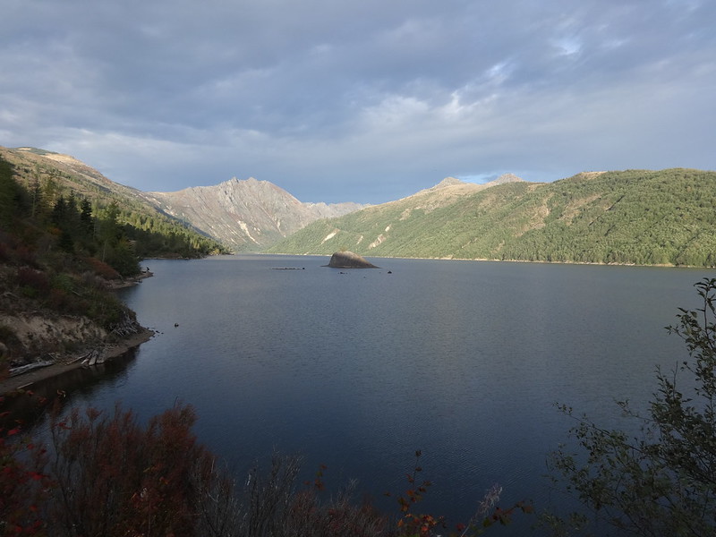
Placid Coldwater Lake reflecting the clouds:
Here is some interesting information about Coldwater Lake:
It did not exist prior to the May 18th, 1980 eruption of Mt. St. Helens. A debris avalanche moved down the Toutle River and blocked Coldwater Creek and South Coldwater Creek. A tongue of the avalanche moved one and a half miles up the Coldwater Creek drainage, blocking the creek.
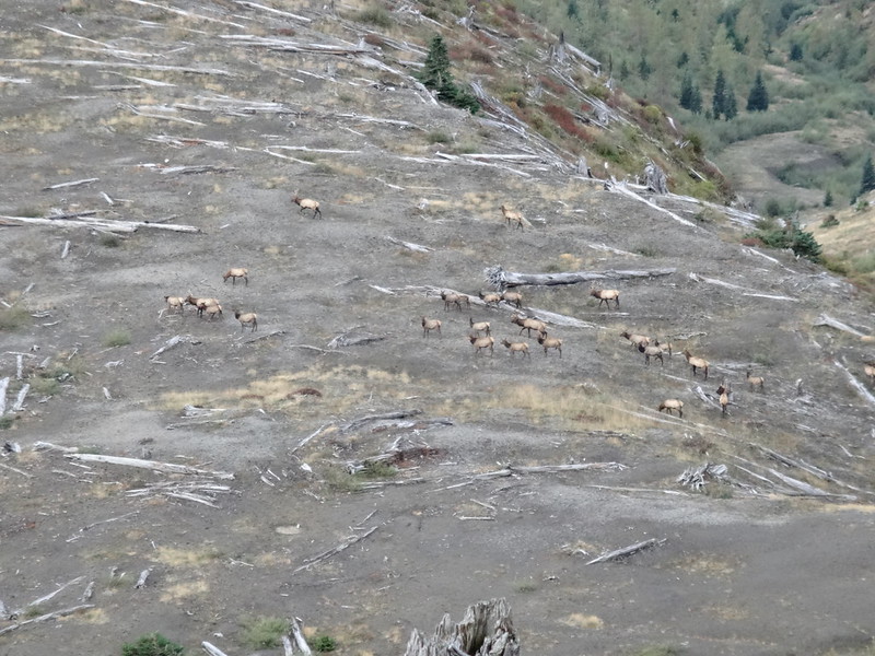
Not far from the Ridge Camp along the Coldwater Peak Trail, I heard the unmistakable sound of bugling elk. I looked down to see a herd of 25 of them. A large male in the group was bugling to a pair of males higher up. Being that it was the start of rutting season, the two males appeared to be challenging the bull elk who was defending his females.
Herd of elk:
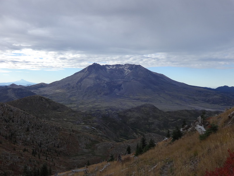
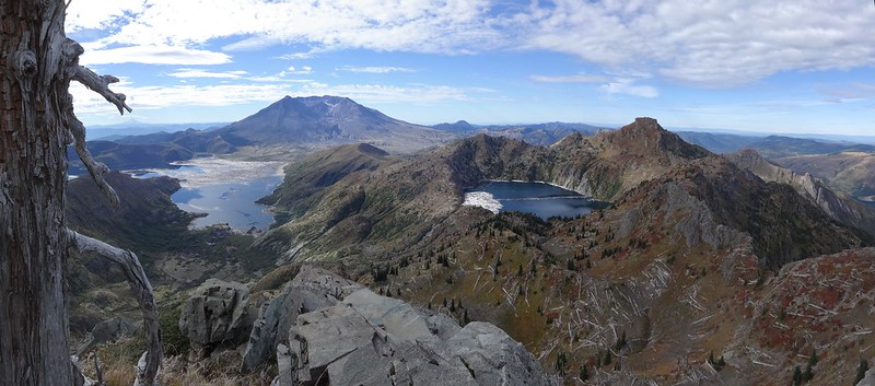
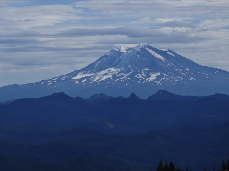
Mt. St. Helens:
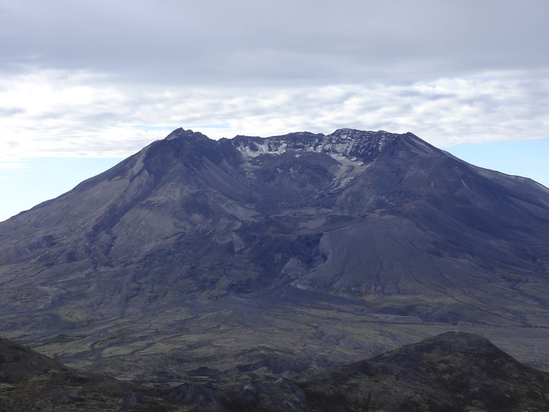
How about a close-up?
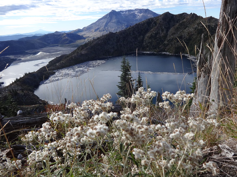
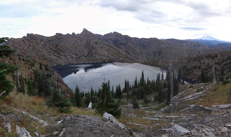
St. Helens Lake:
I briefly considered climbing Coldwater Peak, but that would have meant going up 700' in about 3/4 of a mile. I wanted to save my energy for other summits. I still had a long way to go.
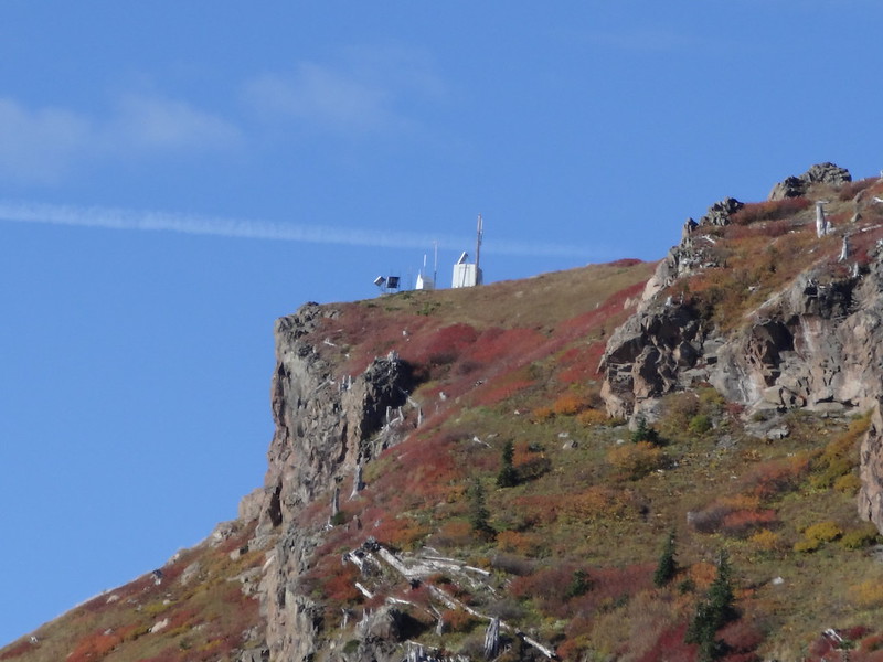
Monitoring equipment on Coldwater Peak:
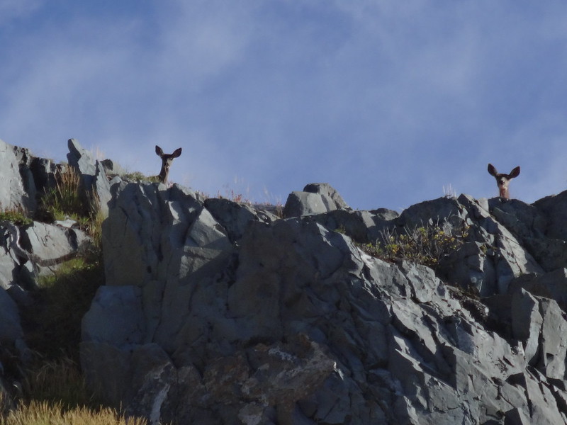
Oh deer, oh my! I see you see me go by!
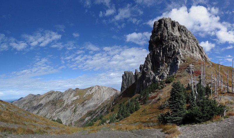
Along the Boundary Trail:
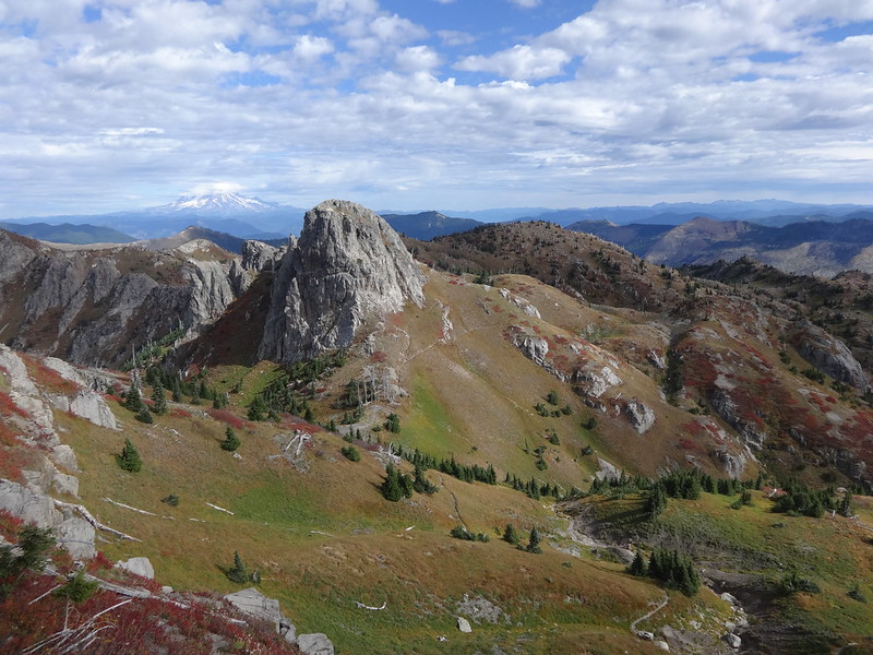
Mt. Margaret:
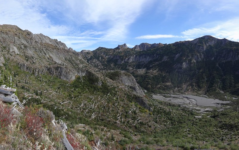
Super stitch pic:
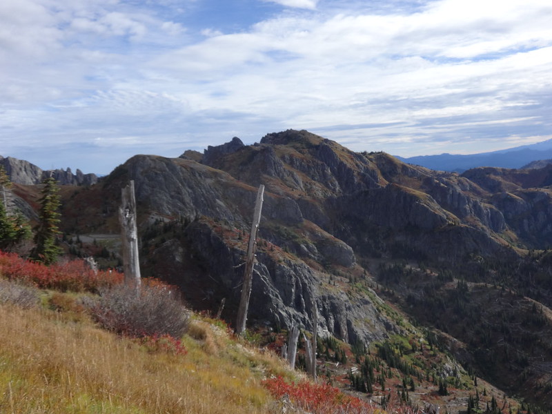
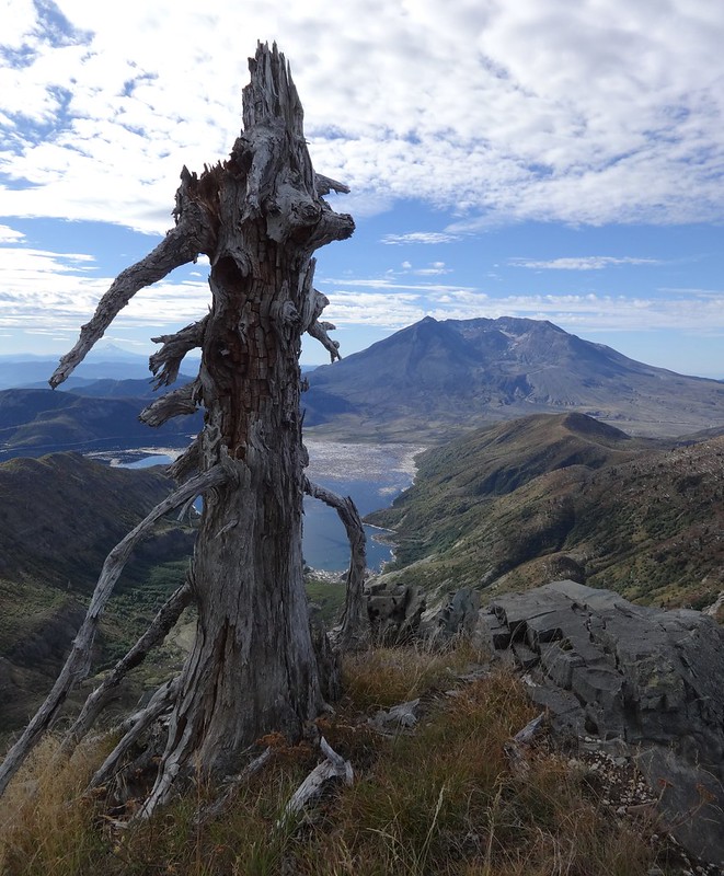
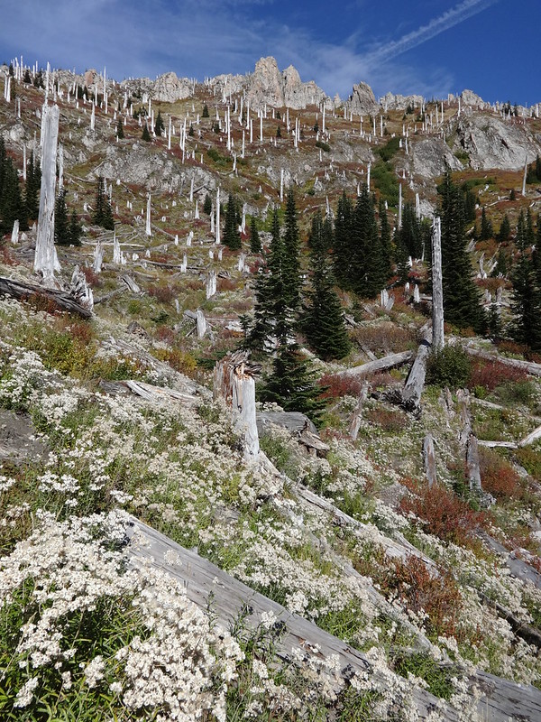
Weathered tree stump:
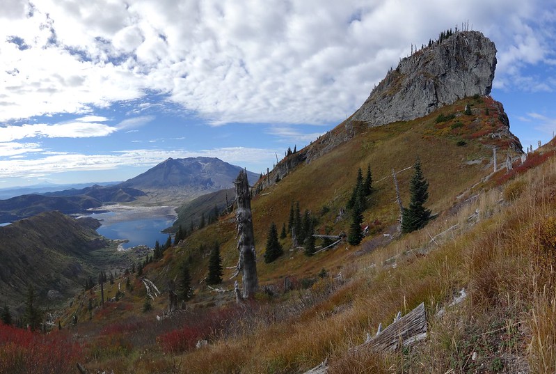
The Dome in the upper right:
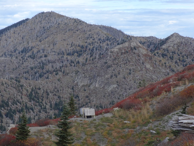
Crapper with a view:
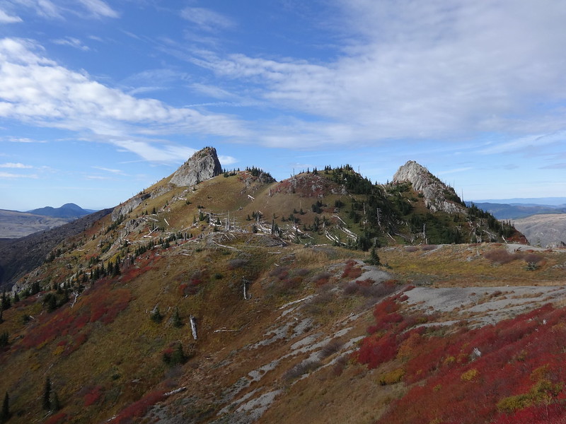
Looking back at The Dome and its neighbor:
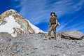
Look at me! I'm on the top of Mt. Margaret!
Looking over at Mt. Teragram:
Note: Mt. Teragram is not an official name. In fact, the peak has no name at all. Adam Schneider came up with the name, which is Margaret spelled backwards. If we all keep calling it that, maybe it will stick.
Close-up of Mt. Adams:
Close-up of Mt. Teragram with Whittier Ridge to the left:
Looking back at Mt. Margaret (center) from the top of Mt. Teragram:
360 video from the top of Mt. Teragram:
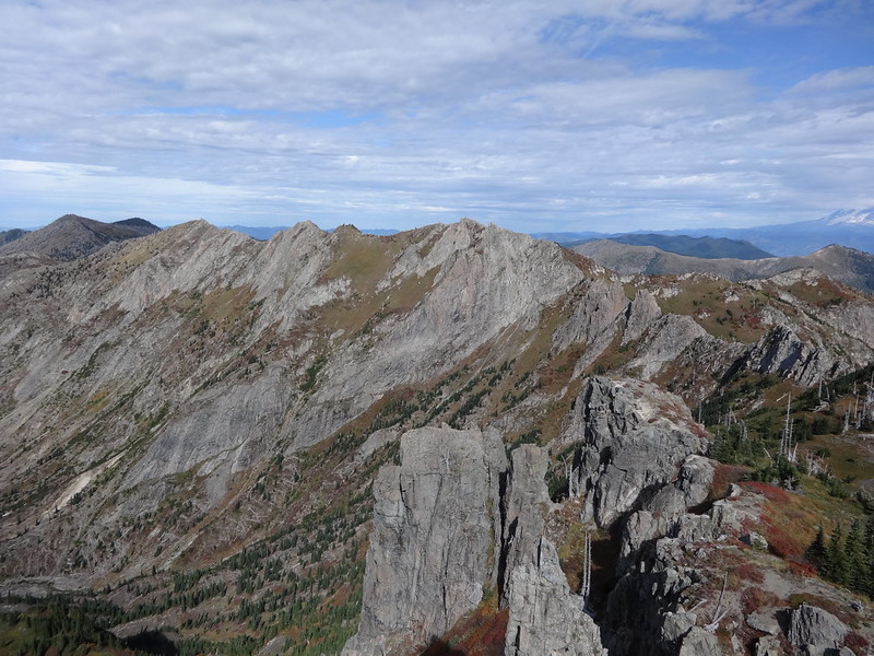
Whittier Ridge:
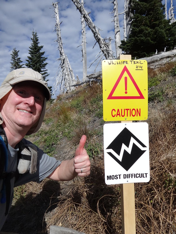
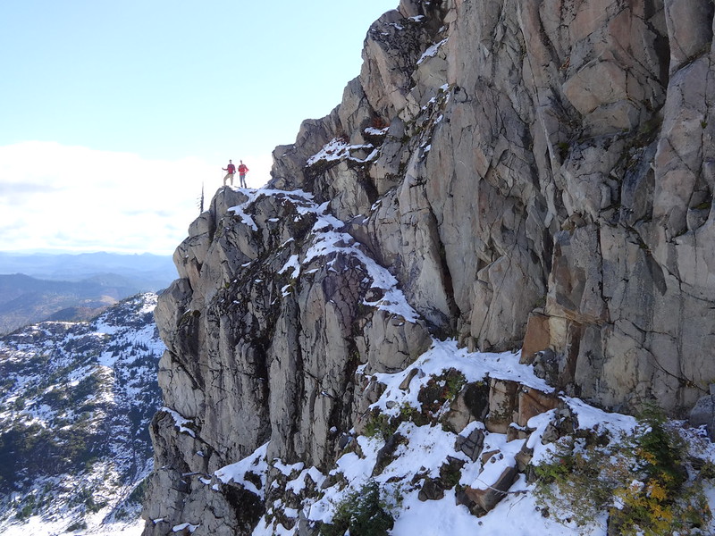
Sign warning of the dangers of attempting Whittier Ridge:
It was a lot scarier last October when there was snow on the Whittier Ridge Trail:
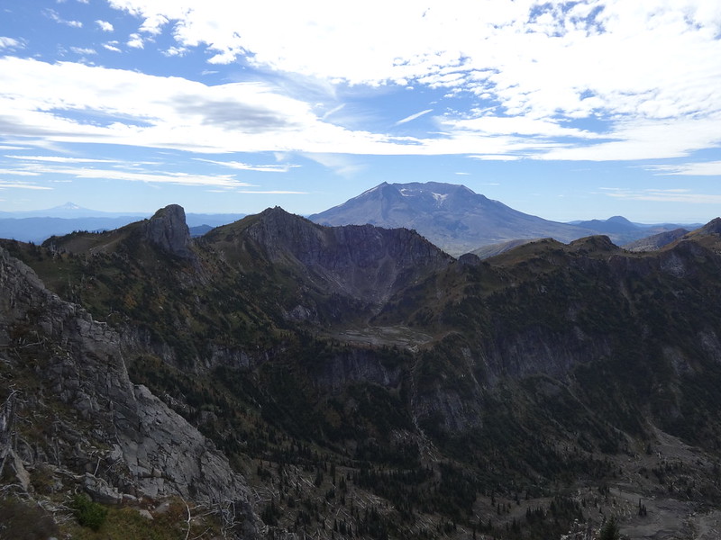
Mt. Hood, Mt. Teragram, Mt. Margaret and Mt. St. Helens from Whittier Ridge:
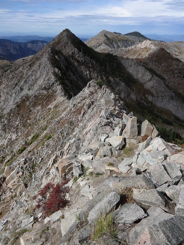
The twin summits of Mt. Whittier. Which one is taller? You tell me.
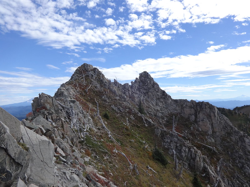
The Whittier Ridge Trail goes up and down every one of these points:
Shovel Lake from Whittier Ridge:
Coldwater Peak (L), Coldwater Lake and Minnie Peak (R) from Whittier Ridge:
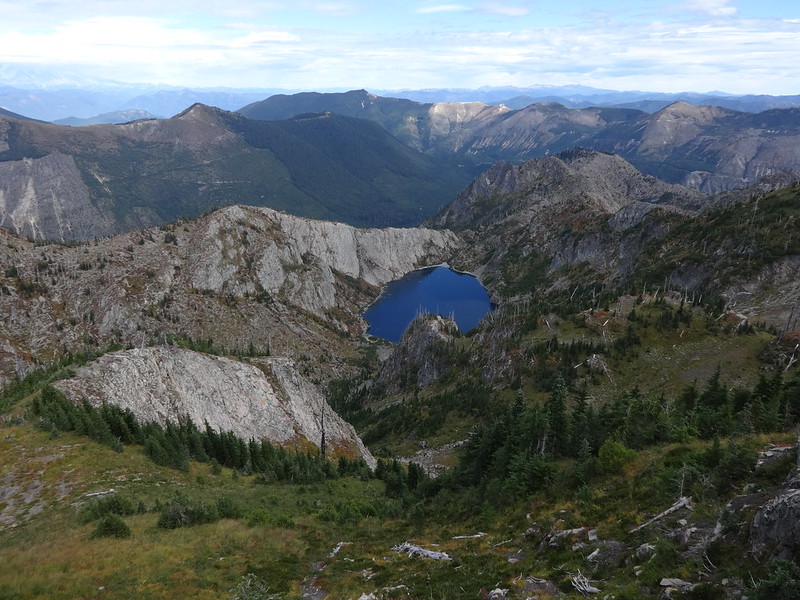
Looking up from just below Snow Lake:
The bowl that is the source of Coldwater Creek:
View from the west end of Coldwater Lake:
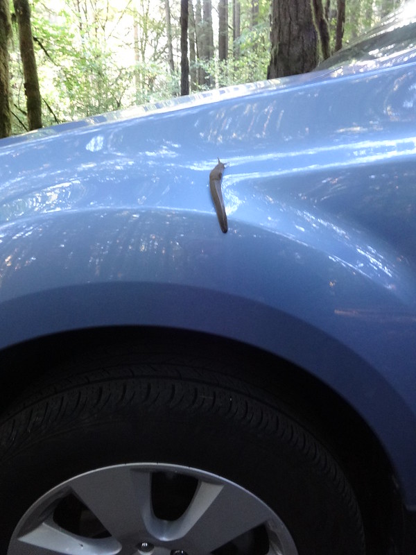
Back at the campsite, this is what happens in a NW forest:
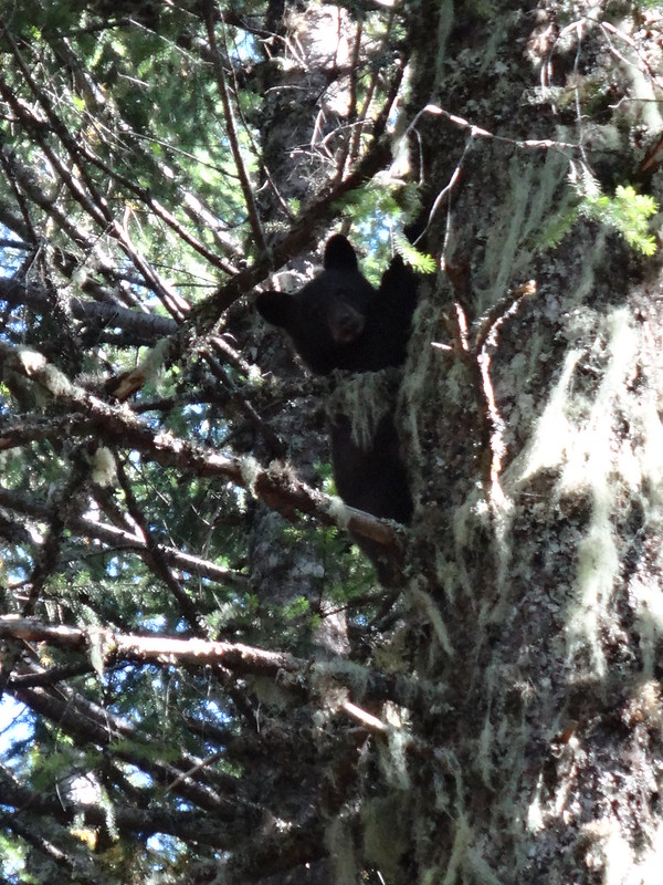
Just to tack on something from a trip to Observation Peak on 10/6/14, I was almost to the top when I ran into a mother bear and her two cubs. The two cubs scampered up two separate trees, while mama ran up into the bushes. She was huffing a warning. I was with my dogs and they were very excited, Buddy especially so. Since the cubs were in trees close to the trail, and I would have had to get closer to them in order to continue up to the top of Observation Peak, I turned back. I got some pictures, but it was hard to do so with all the commotion of the mama bear huffing, the cubs climbing and the dogs barking and whining.
Baby bear in a tree:
Link to all the pics on Flickr:
https://www.flickr.com/photos/54959080@ ... 009266170/
Hike away,
Brad