Wow has the weather changed! My waist expanding, I had to hit a trail. Despite an iffy forecast, I headed to Mt Hood. The west side looked cloudy, so I headed east. A fresh dusting of new snow covered the upper mountain:
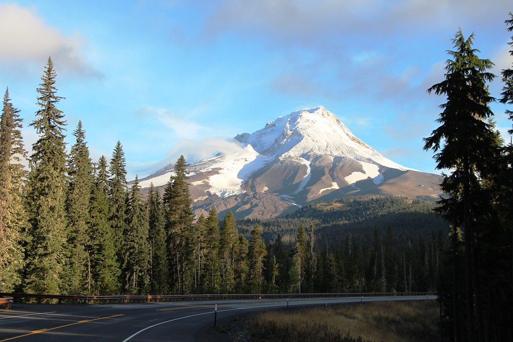
Mt Hood from Hi 35 Near White River
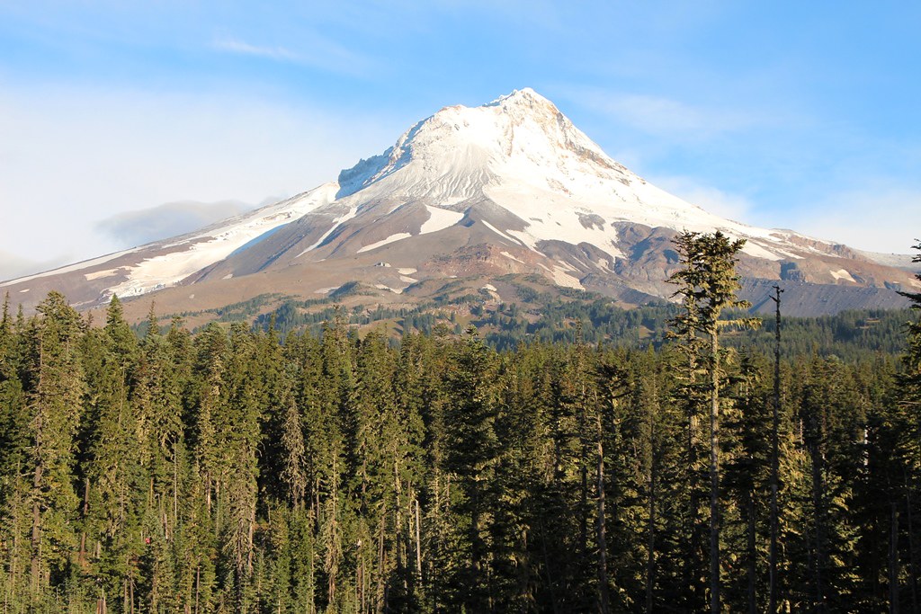
From Bennett Pass Snow Park
I had Figgie with me, so I decided to try Gnarl Ridge/Lamberson Butte from Elk Meadows TH. Only two cars were at the TH, and the damp trail tread was superb walking, with only one set of tracks since last rain. If things go well, I thought, I’ll go up above Lamberson Butte towards the Newton Clark Glacier.
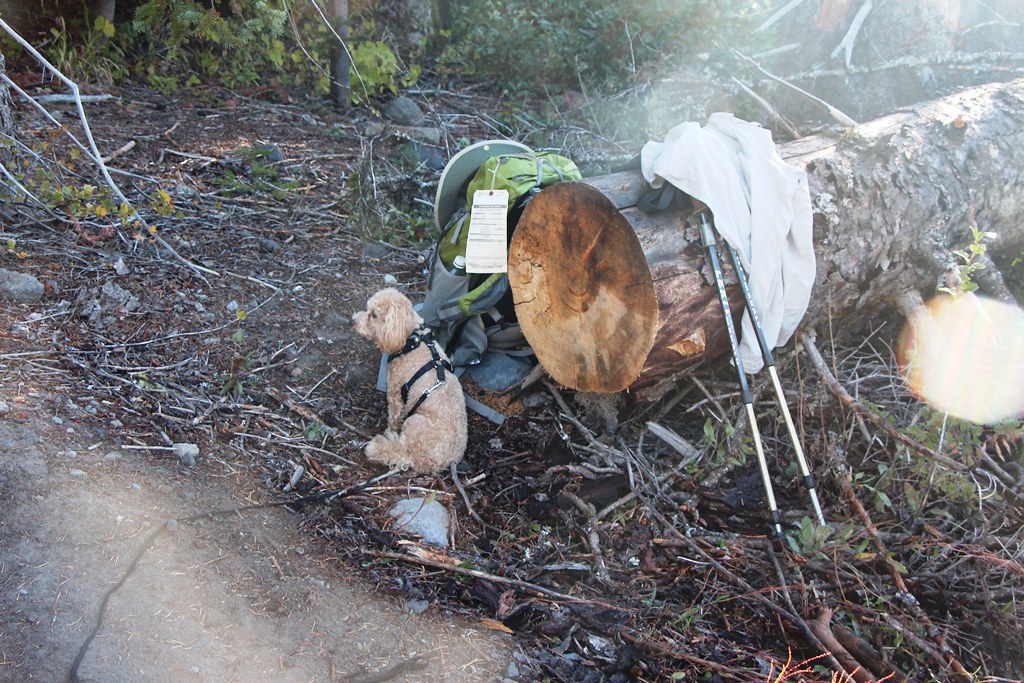
Figgie Waiting for me to make my hill climb wardrobe adjustment at Newton Creek.
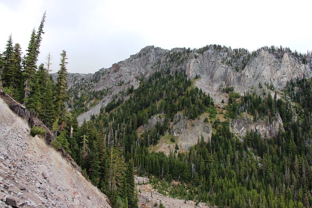
I took the 652 Gnarl Ridge Trail to the 600 , which I followed past Lamberson Butte to a viewpoint overlooking Newton Creek Canyon.
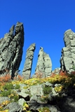
Old Fire Scars
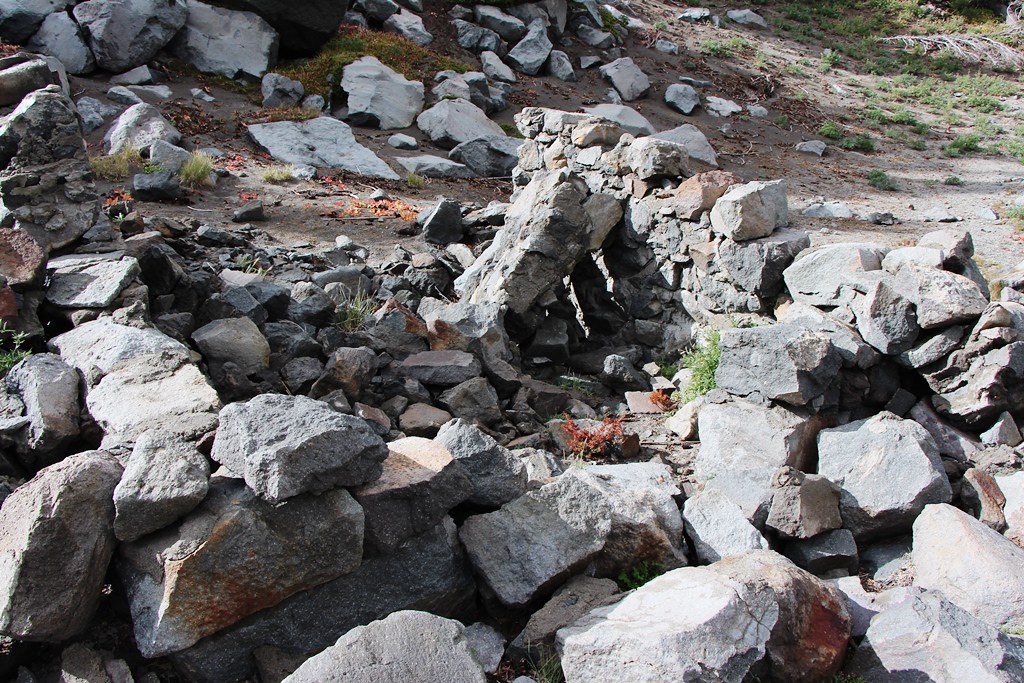
Shelter Remains—This Site Must be Snow Bound Until Late
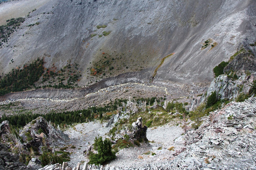
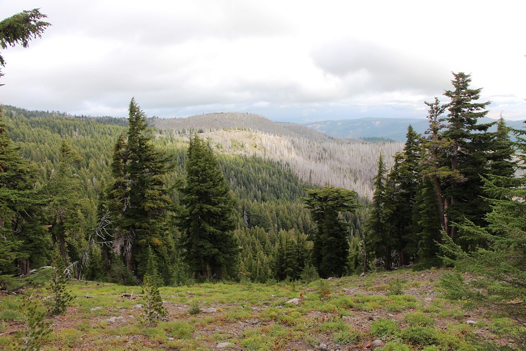
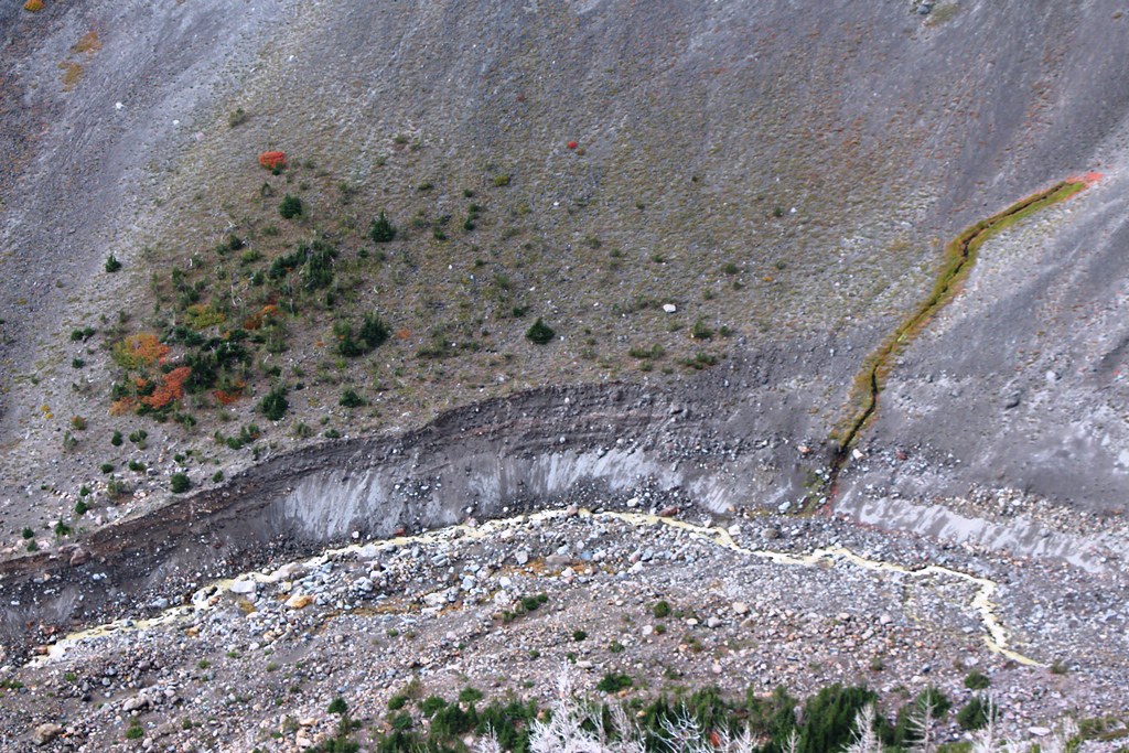
Newton Creek Canyon
Spring
I kept hoping for sun to illuminate the slope and shade the creek in this scene (to make the fall color pop). But the cloud deck was lowering and getting heavier, and after a half hour lunch break, the light ever less promising. I had considered returning via one of the scree chutes below me, but decided to take the 600 trail back as a safer if less exciting course.
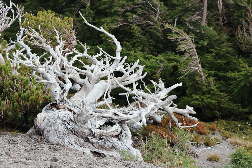
Weathered Tree
Just as I was about to leave, a lone backpacker came up trail. We spoke for a few minutes—he was going around the mountain and had left the access road to MHM that morning. I asked how he was handling the Elliot Creek crossing—the ropes he said. He hoped to finish by mid-day Sunday. I wished him good luck. He told me about another backpacker also circumnavigating Mt Hood counter clockwise. I had barely started back when I met this young man—he had started from Timberline Lodge and had stopped at Newton Creek yesterday when it started to rain.
The Newton Creek crossing proved problematic since I had to carry Figgie. I finally found a place 200 yards upstream where I could rock hop across on good footing—yes, lots of places where you could jump hard, but the landings looked slippery. As it turned out, there is a good log crossing downstream 50 yards from where the trail hits the creek on the South stream bank—which you can’t see from the North. Oh well.
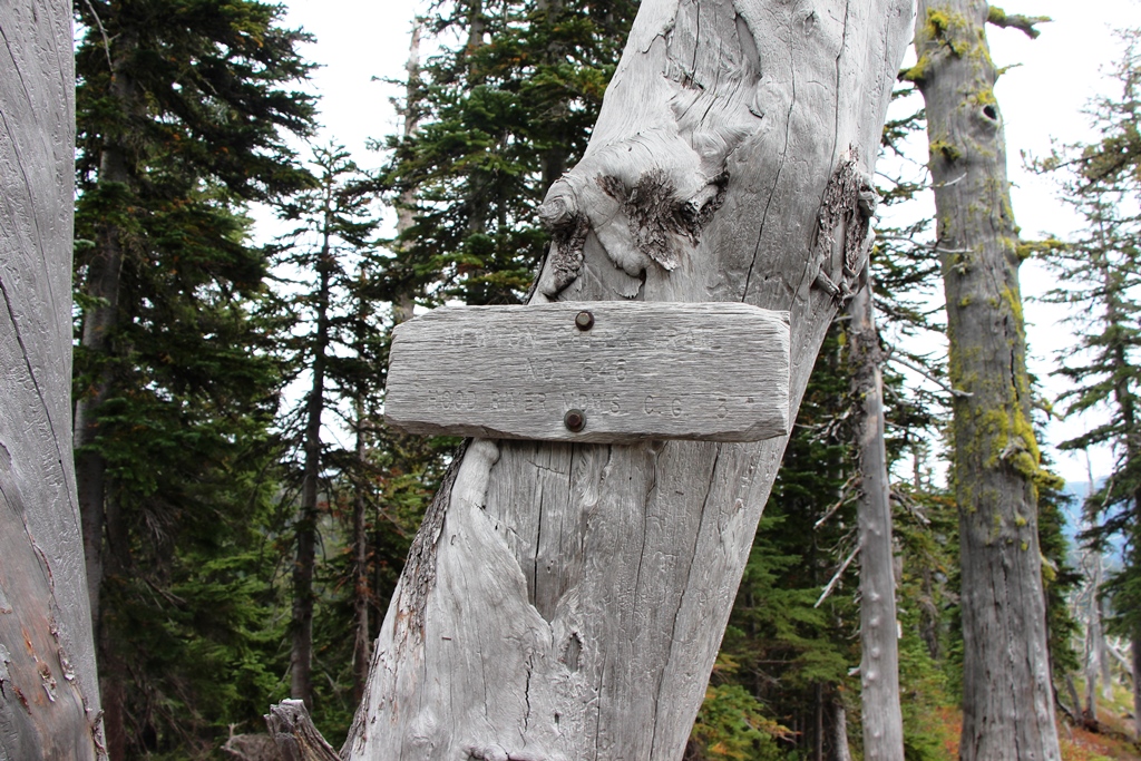
Trail Sign for Newton Clark Trail 646
I took the 646 trail back to the Elk Meadows trail and out.
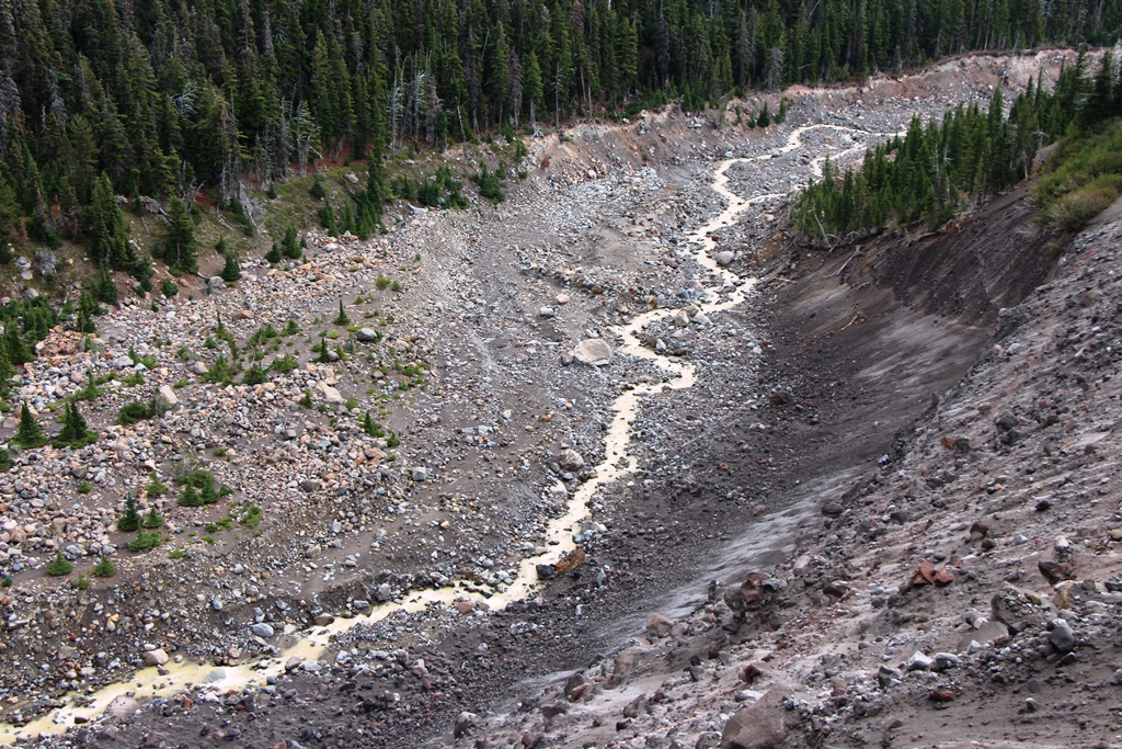
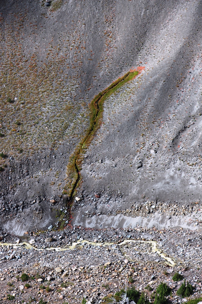
Newton Creek should be Café au Lait Creek
Parting Shot—Lamberson Butte & Gnarl Ridge from 646 Trail