HIKE 1
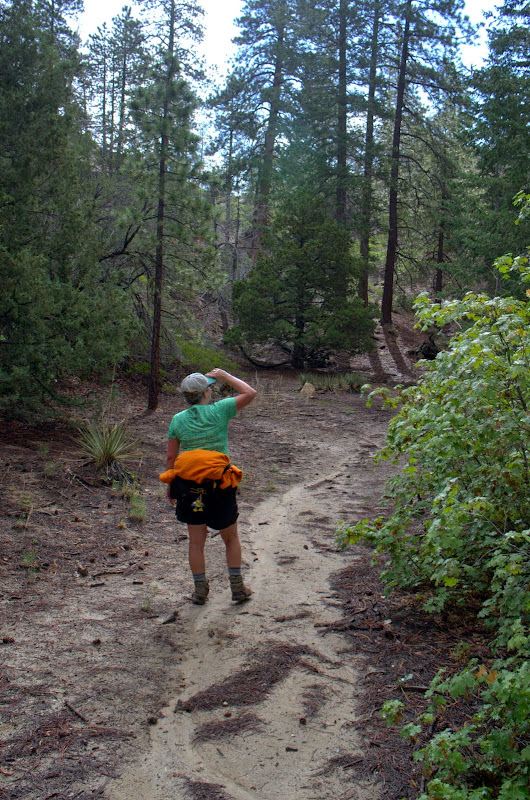
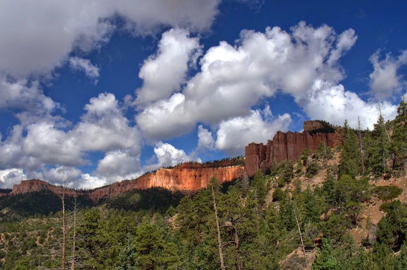
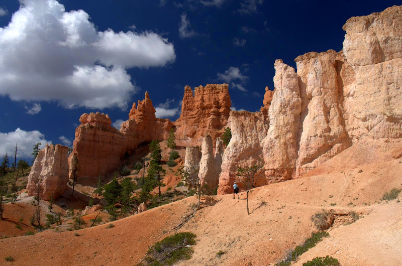
We decided to do the Riggs Spring Loop (9 mi RT, 2250' EG) first because it seemed that its being at the S end of the Park - as far from the Visitor Center, Lodge, and General Store as possible - would make it less crowded. We were right in that we didn't see anyone else on it. The trail starts at Rainbow Point (at 9115', the Park's highest point, and one with a sweeping view to the N),
and then heads SW to Yovimpa Pass (the pipe used to bring water to the restrooms at the Point - they're all composters now due to a water shortage),
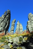
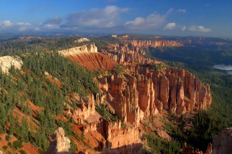
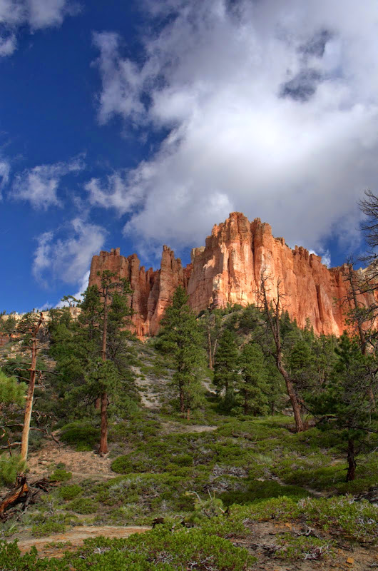
with big views of the cliffs along the way. At the pass, the trail officially becomes the Riggs Springs Loop and begins descending past the cliffs to the springs.

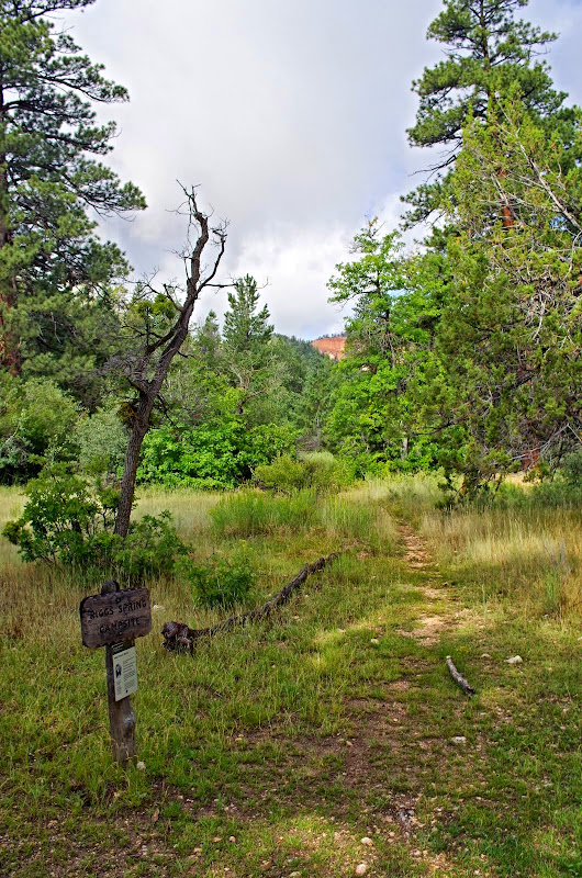
There are campsites at the springs and, as the name would suggest, a reasonably reliable source of water.
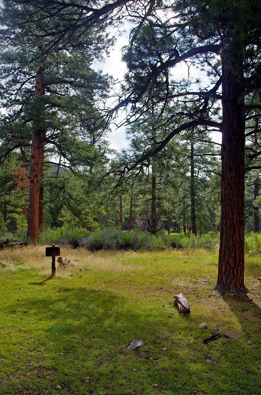
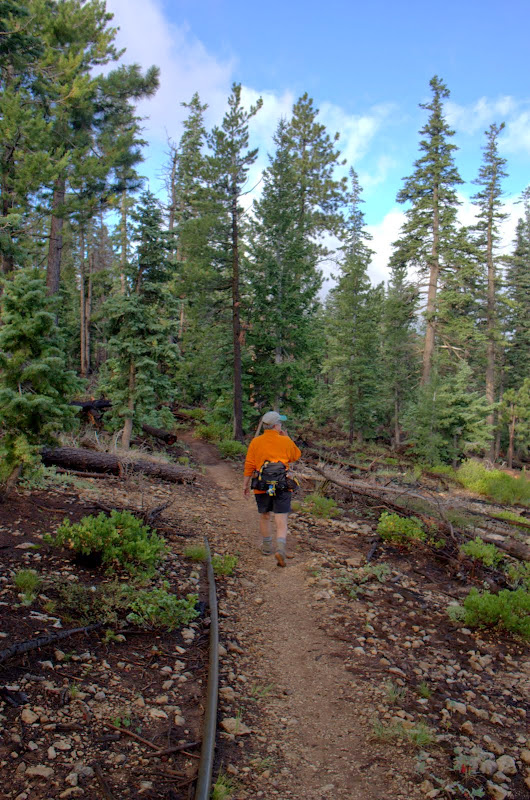
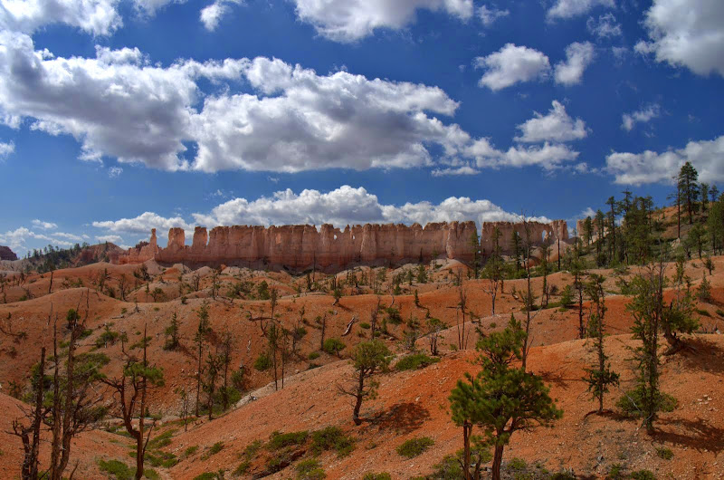
From there, the trail turns N, through Ponderosa pine forests,
across some minor washouts,
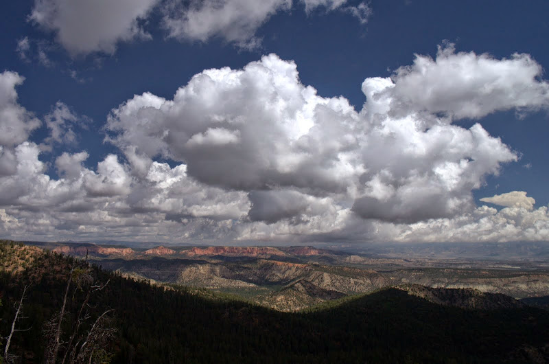
to open ground with a view up toward The Promontory and Yovimpa Point.
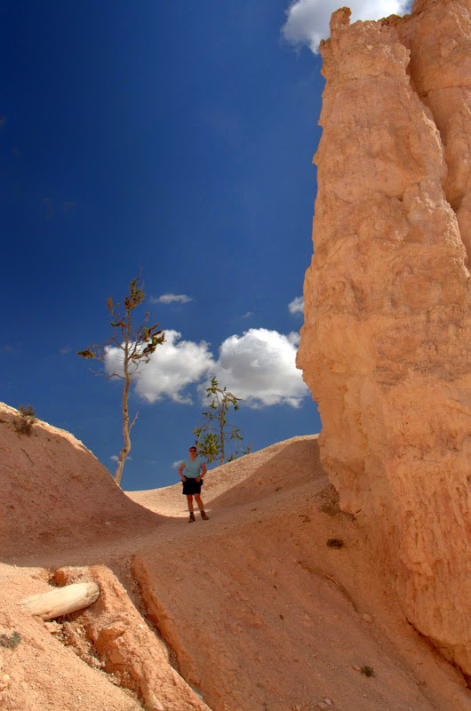
It then continues N below the cliffs,
before turning W again and climbing gently, but steadily, back up to Rainbow Point,

with some big views of the Dixie National Forest to the W.
A wonderful trail, perhaps in need of a little maintenance, but not crowded, easy to follow, and going through some startling forest and cliff country. Popular as an overnight backpack.
HIKE 2
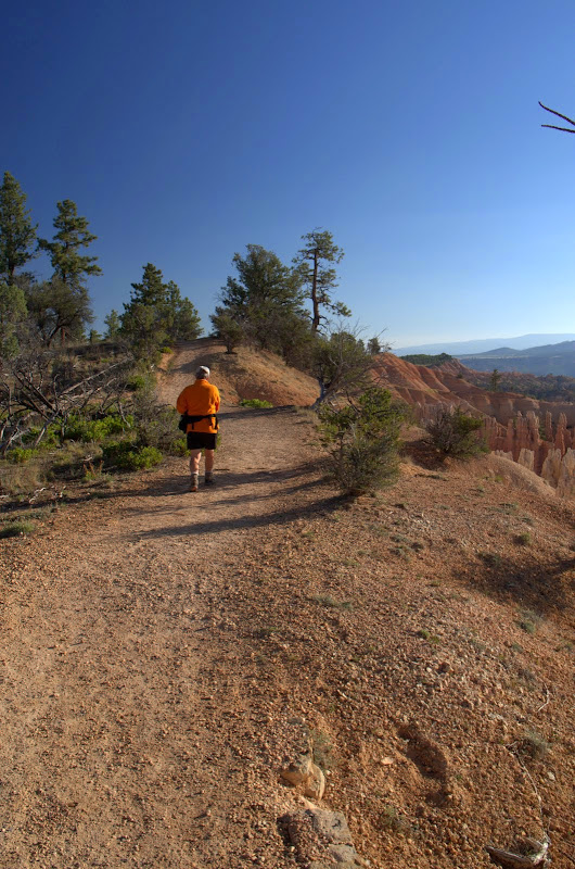
The Fairyland Loop trail (8 mi RT, 2300' EG) is located just inside the Park's N boundary, close to where most of the visitors seem to congregate. Our last hike of this trail was in an incipient snow storm and we feared that now, in warm sunny weather, it would be overrun with other hikers. Our fears were unfounded in that we only passed about a dozen hikers during our clockwise loop. But then we do favor the early start, which may help us avoid others? So up and off with the sun,

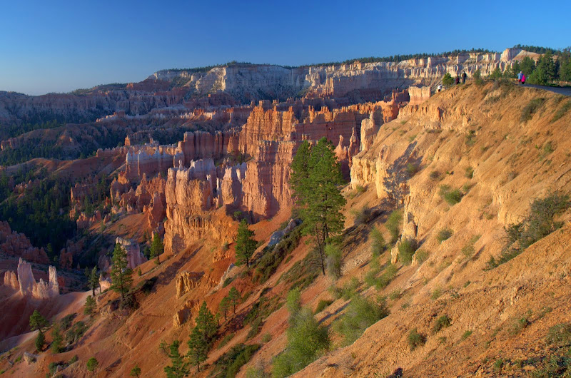
and N along the Rim Trail,
with its view of more of the Pink Cliffs bathed in the early morning light.
The Rim Trail connects with the actual Fairyland Loop trail at Fairyland Point and that trail then descends below the Rim (the arrow shows where it starts climbing back up to the Rim),
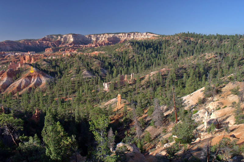
through a wonderland of partially melted rocks - if it rained here like it does in Oregon the scenery in this park would be gone in no time.
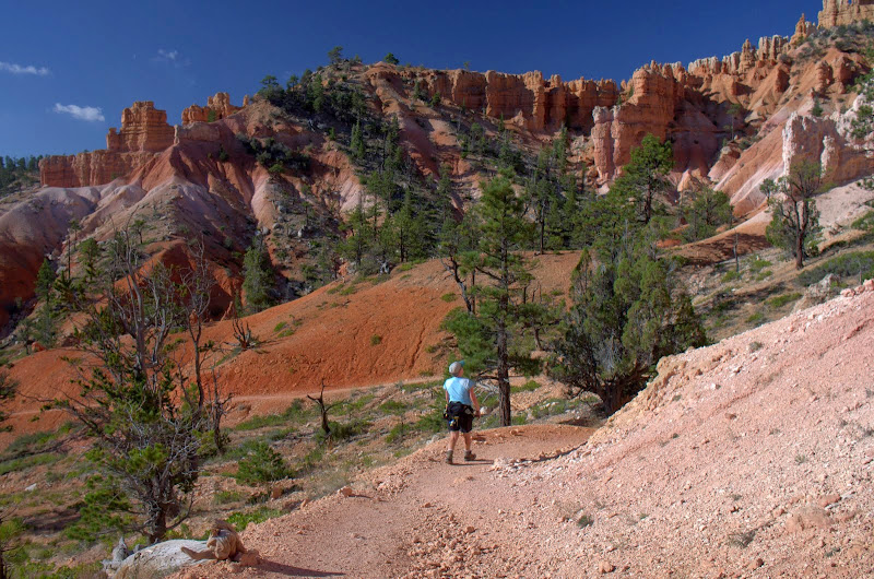
We got the sunny day we'd wanted,

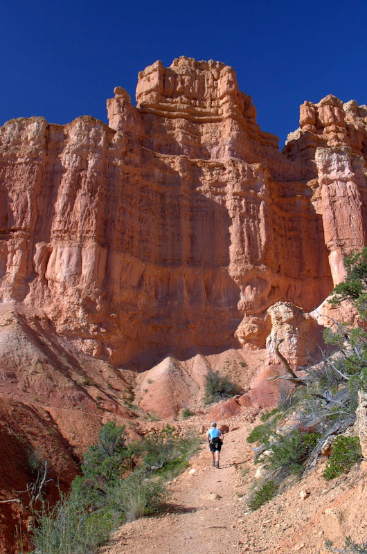
which really helped bring out the pink coral colors in the walls. If pink isn't a favorite color, this may not be the hike for you.


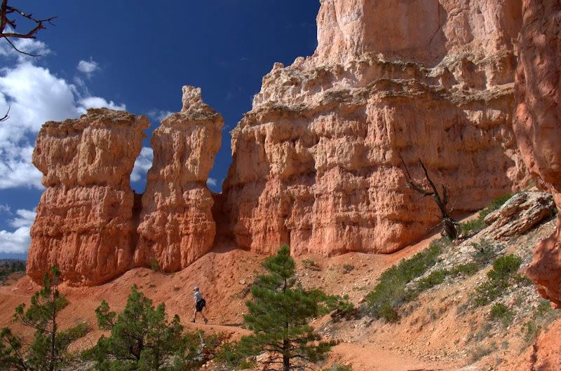
The trail finishes traversing and descending at a feature called the Tower Bridge, which has both a window (yellow arrow) and a bridge (white arrow) formed by a much more erosion resistant stratum.

After that, it was 1.7 mi of pink back up to the Rim,
with a row of windows for scenery,
and a little now welcome shade along the way.
This is probably one of the classic hikes in the Park and has the potential to get crowded but an early start in the clockwise direction seemed to do the trick. There are a number of other hikes in the Park, but if your time is limited, we highly recommend this one and the Riggs Springs Loop for starters.