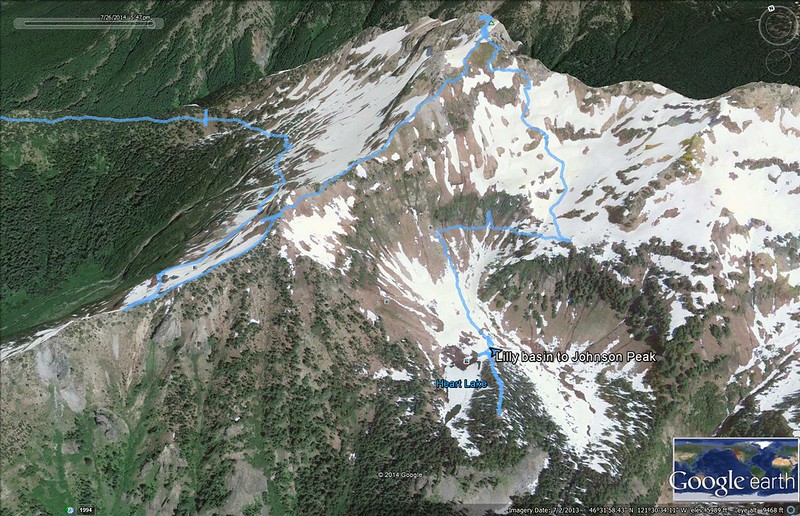
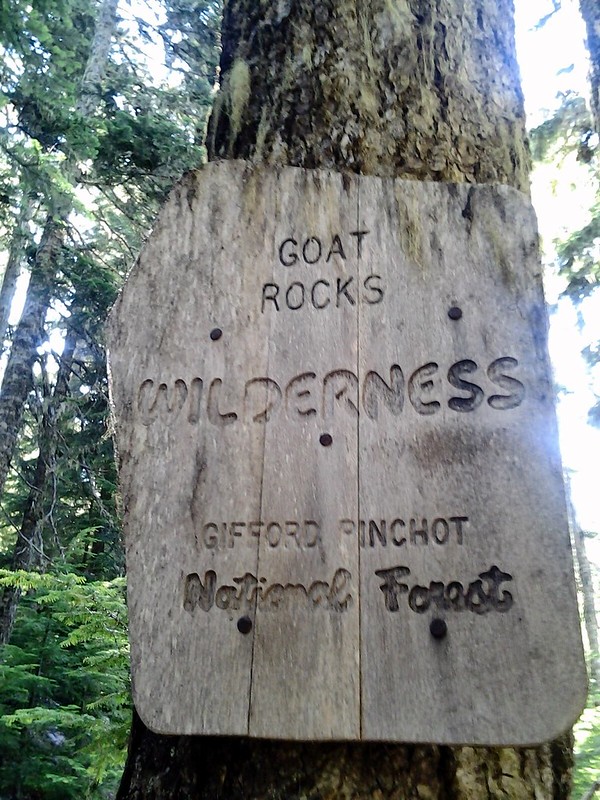
Fellow PH'er Roman and I set our sights on Goat Rocks Wilderness for a backpack this past weekend. His report from a trip a few weeks earlier inspired us to try another spot in this fantastic Wilderness. We decided to hike to Heart Lake via Lily Basin trail, and attempt to summit Johnson Peak if we could.
We left Vancouver around 8 pm and were headed up
We ninja camped about 2 miles before the trailhead in wide pullout where some hunter's have made use of it. Stars were out really nice while we shoveled, then 20 minutes later...I looked up and nothing but blackness. Hmm....
Quiet night, next morning up and down the road to the TH. I should mention that brush hugs the road pretty tightly, so don't bring anything you don't mind scratching up here...but if you're actually driving to this spot you obviously aren't worried about that so...nevermind
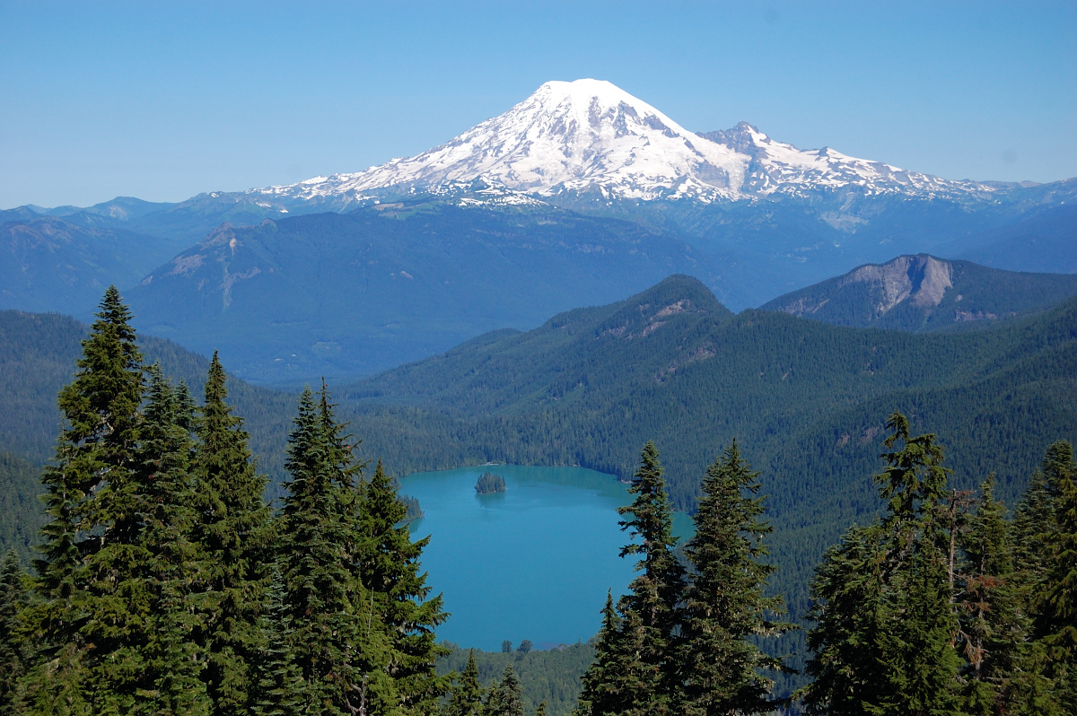
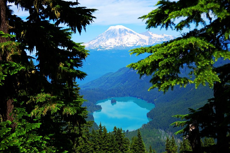
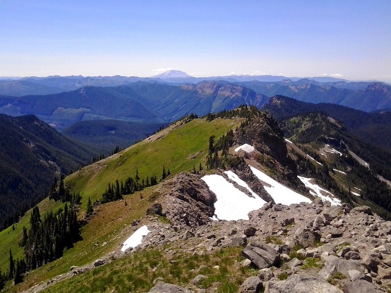
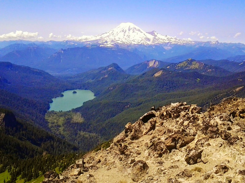
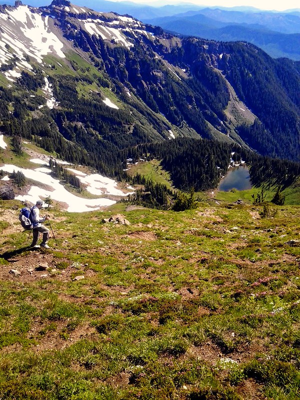
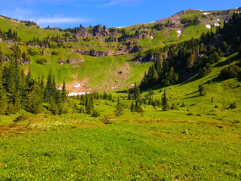
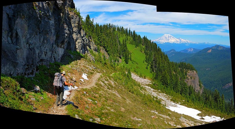
Started around 8:40am. Trail is in good condition through the trees for the first 4.5 miles. Many blowdowns have already been cut, though there is one spot where the trail goes through a rootball of a downed tree that might pose a problem for stock users. This section of trail was very boring, just lots of trees, past peak beargrass and tons of mosquitoes and flies. Once you reach the ridge saddle the trail gets more interesting. Look to your left to Coyote Ridge. Look behind you to see a stunning view of Mt Rainier and Packwood Lake modeling an interesting cobalt hued dress.
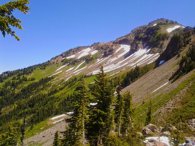
Ahead lies the awesome spectacle of Johnson Peak rising above the ridge you are climbing.
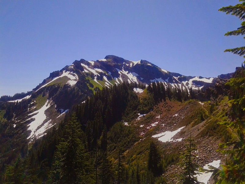
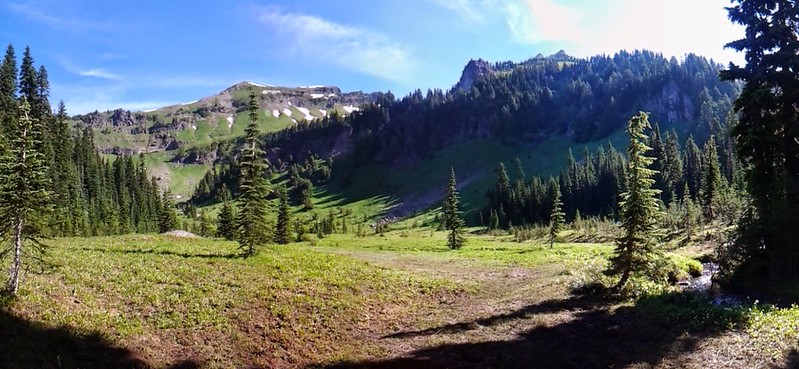
Lily Basin trail ascends one of the NW flanks of Johnson Peak, and Angry Mountain trail ascends the SW. The space between them is Lily Basin.
It was near here that we saw the first people of the day, a group of 3 guys heading out who had camped at Heart Lake. They remarked that they didn't have good weather the previous couple of days, but we were the first people they had seen. They also warned us of a challenging creek crossing in Lily Basin. More on that later.
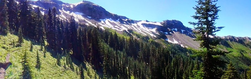
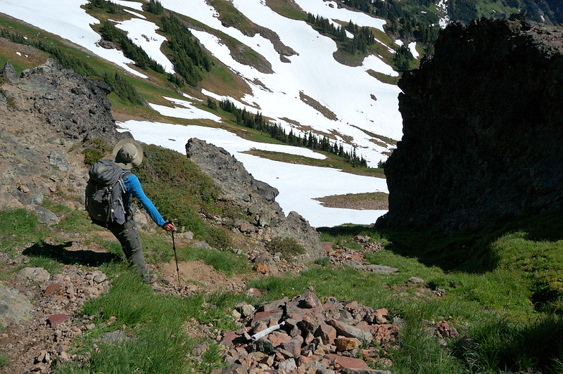
The trail crests ridge on a saddle near a really cool stony cliff that probably has some scramble routes on it based on the use-trails along it's base on the backside. It would have to wait for another day. Over the saddle, the trail begins it's trek towards the grassy flank and snow fields of Lily Basin.
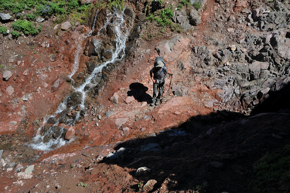
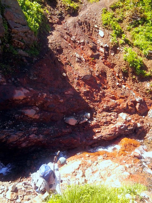
There are several small creeks and drainages to cross. Halfway around the basin, you must cross the largest and most difficult one. The winter rain/spring runoff has basically done the trail in at this point. The trail drops down into a deep ravine, crosses the creek and comes out on the other side. Roman says there used to be a small ledge to hop onto, hugging the wall and allowing a hiker to easily pass. Now the ledge is gone, requiring an annoying scramble into a deeper canyon, then pulling yourself out of the channel the water has cut and very carefully clawing your way out of the big ditch. Going in it was pretty straightforward, however on the return it is actually kind of scary. There is zero room for error.
It is hard to get a good photo of it, but a look at the ditch:
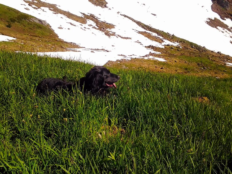
Roman & Pepper in the ditch:
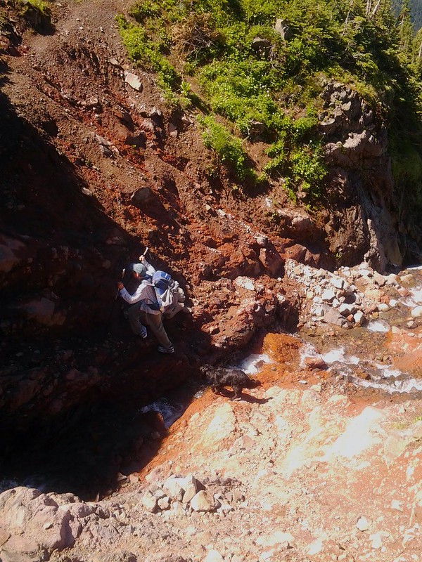
It's approximately 20 feet down.
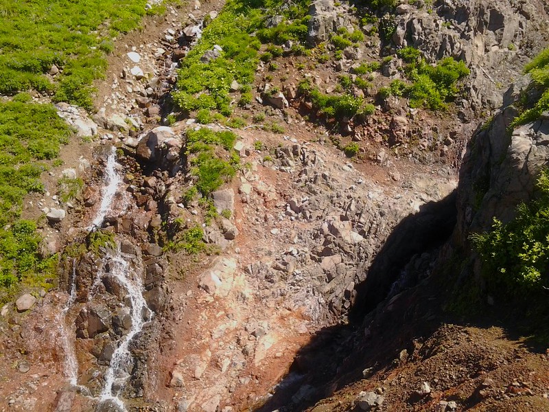
Here's a look back at it from the other side, the washout is in the shadows on the right side. You can see how the trail basically disappears coming from this direction, and there is no runout on the left...just down down down.
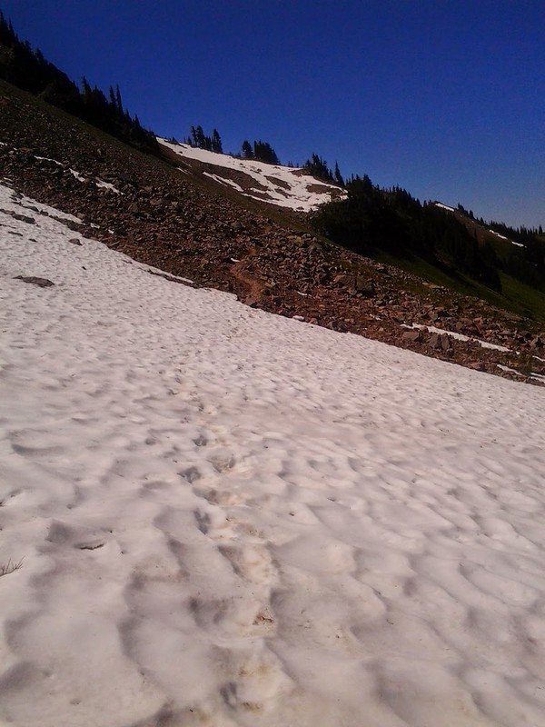
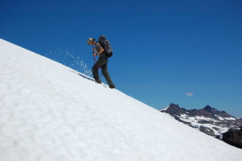
If you can make it past this, you are mostly homefree. Continue to cross some snowfields:
While we had lunch nearby, we were passed by the only other people we would see this day, a group of 3 hunters in all camoflauge carrying rifles on their packs. We aren't sure where they were headed, and we never saw them again.
At 12:40pm, we come to the Angry Mountain trail jct at 6200'.
Looking back:
This junction was the spot where summitpost.org described a route up the ridge to the summit at 7,487. Roman and I were keen to make it up there, we wanted to make a loop from the summit down to Heart Lake where we would camp. We didn't know what to do with our backpacks other than just take them with us.
Up we go:
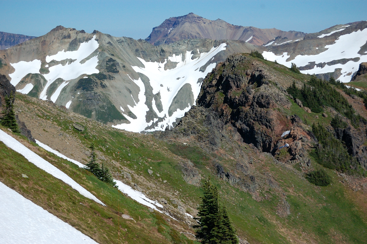
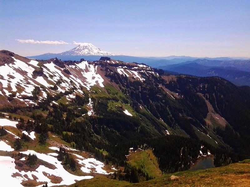
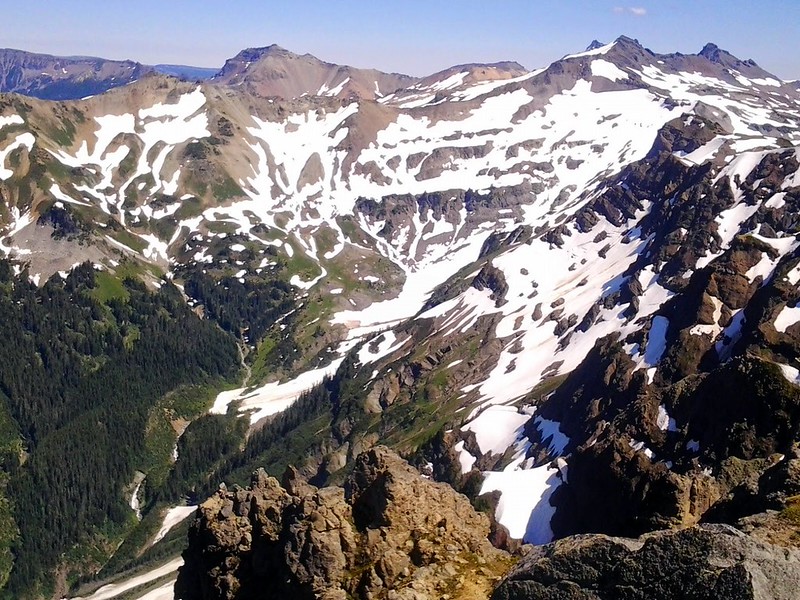
The ridge climb was really great. The upper meadows smelled like farm animals (goats?). Their white fur clung to every branch and weed, drifted through the air like seed pods. Views were just awesome to the North and Northwest. Looking back at Angry mountain ridge:
See that cool broad rockband between St Helens and Angry Mountain? I think the map refers to it as Stone Wall ridge. Has anyone been there? It certainly looks cool from here.
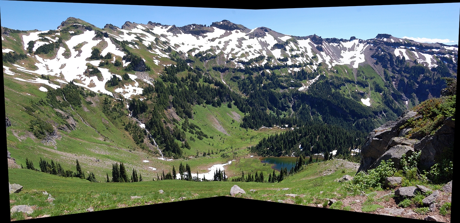
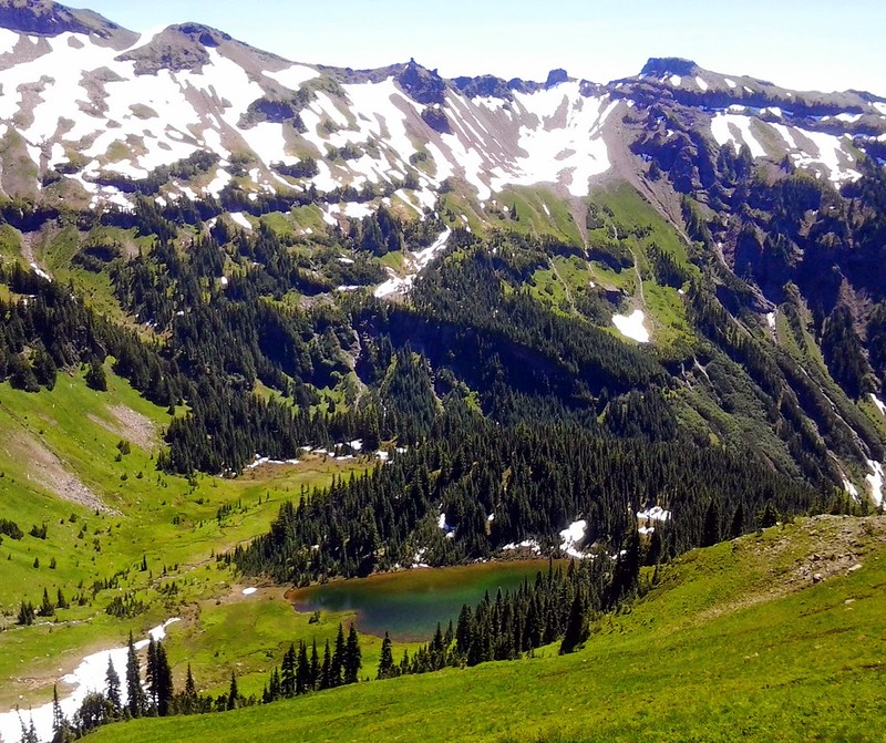
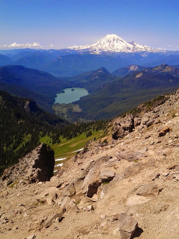
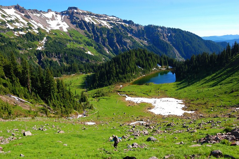
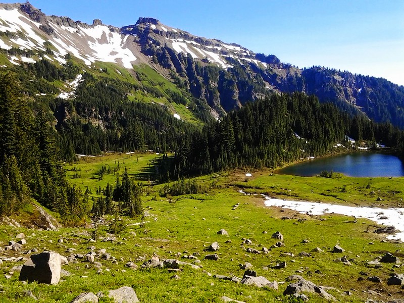
Our ultimate destination, the pretty Heart Lake, came into view below us to our South:
Climbing higher:
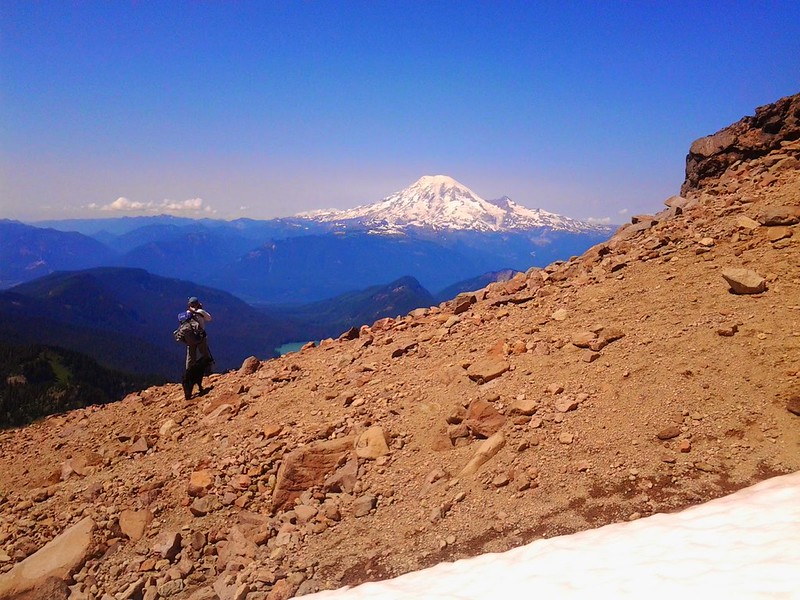
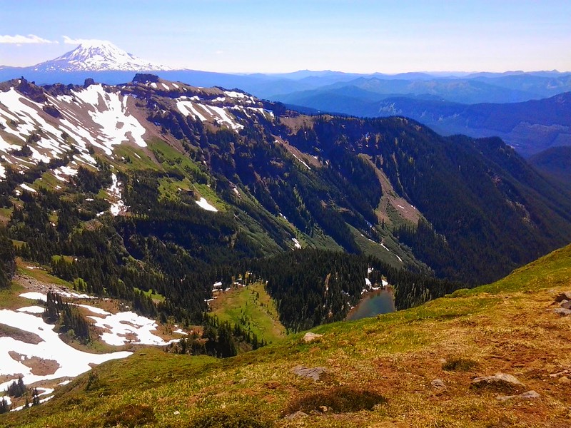
Adams to the South:
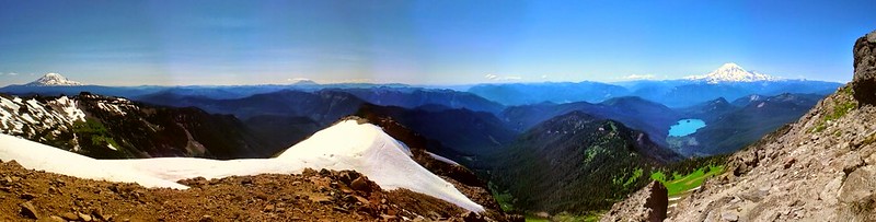
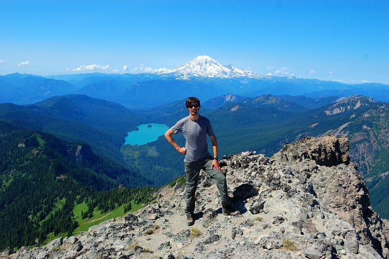
Rainier to the NNW:
Bam! (apologies to Mayhem)
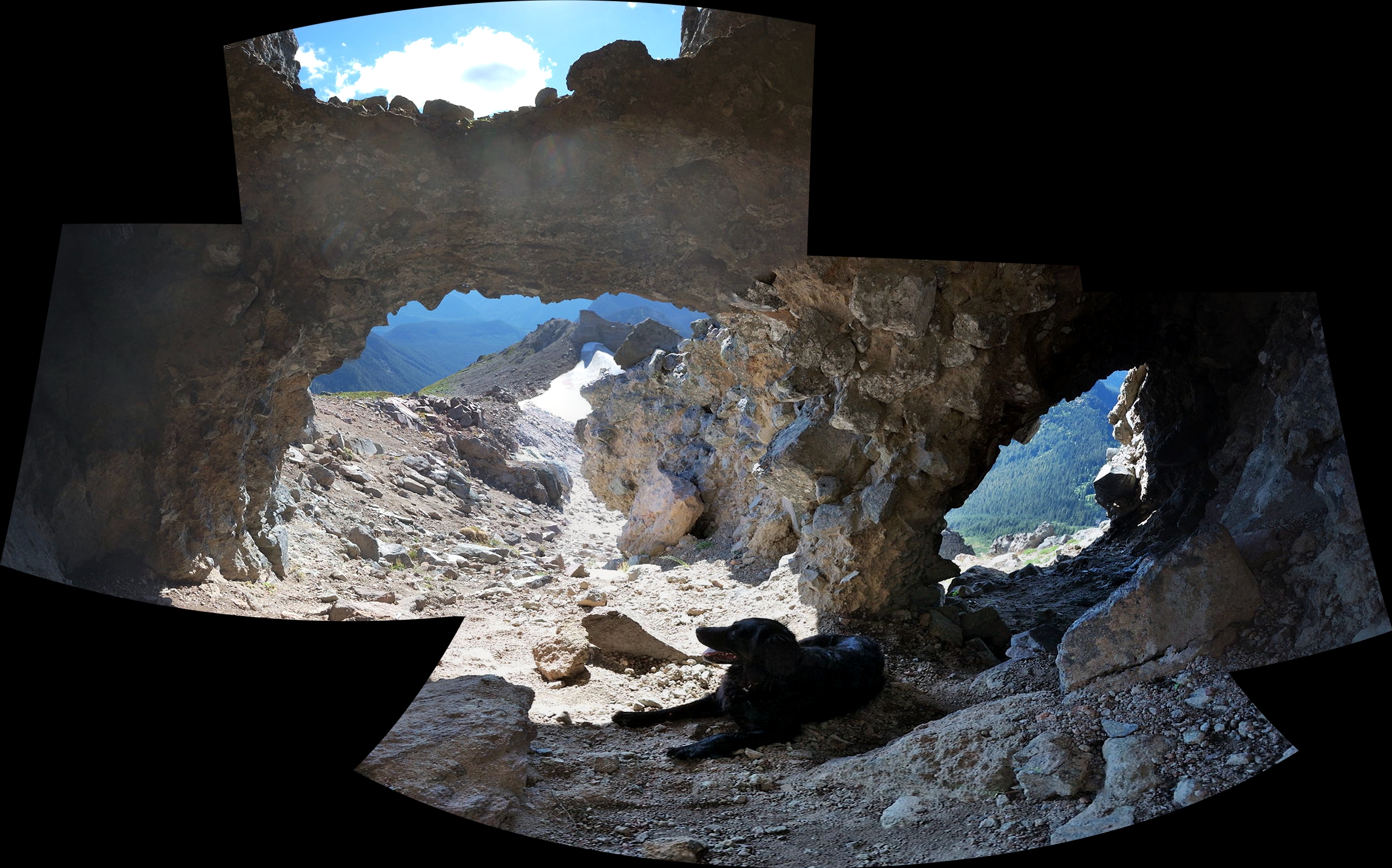
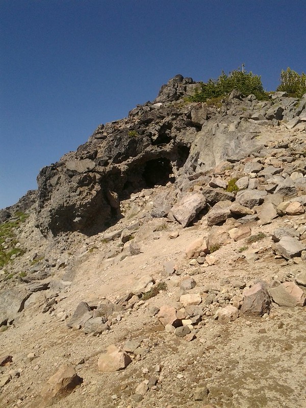
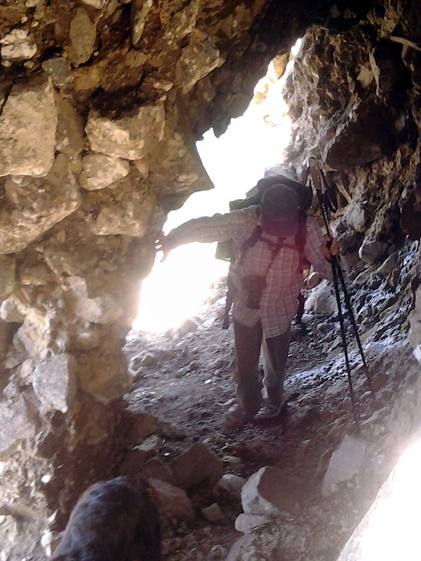
Roman found a cool cave near the false summit. It looked pretty sketch though to be honest.
We reached the summit around 2:45pm. We could see pretty much the entire world. I know you probably don't believe me, but it's true. In fact, with my binoculars, I could see my own back.
We could see jagged Mt. Stuart and Dragontail 70 miles away in the Enchantments to the Northeast, Mt Hood 80 miles to the South, and East the brown, flatter expanse of eastern Washington. Lake Creek raged 4000'(!) below us.
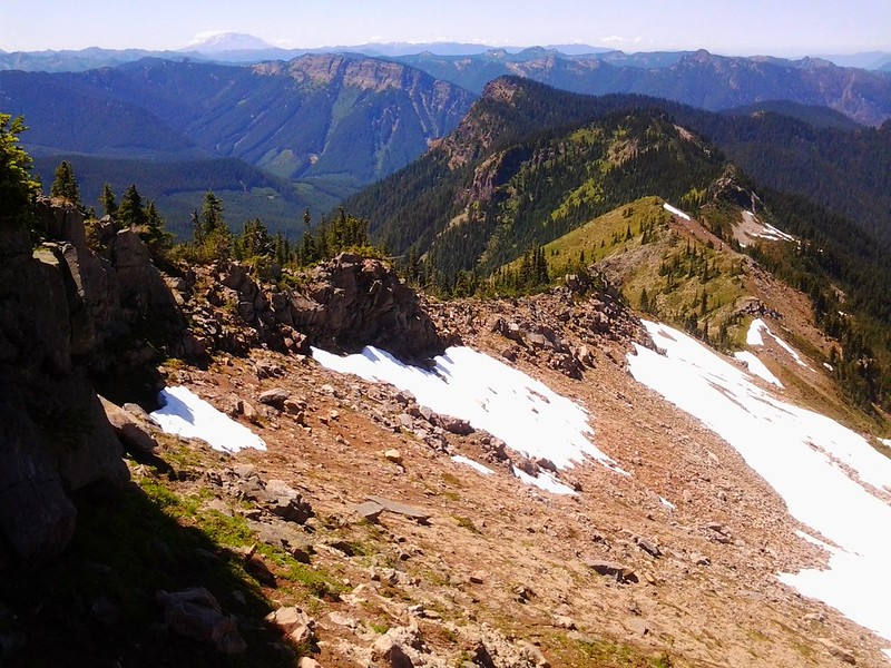
A good look SE at Tieton Peak (L), Old Snowy (CR), Ives Peak, (far R). Drainiage is Upper Lake Creek which feeds Packwood Lake.
Looking NNW towards Rainier and the Tatoosh range again. Couldnt stop.
Tore ourselves away around 3:30pm and decided to take the "bomber" route down to the lake which means tuck your head in and start rolling like a bowling ball down 1700' in about 1.2 miles. Well, we didn't exactly do that, but it sure felt like it.
Hmmm...lets try going down here:
Um...no....
Anyone seen "The Princess Bride"? "asssssss yooooooo wissssssshhhh!!!!!"

We had to change our route several times, but on the way down we spotted two goats (no pics) and a huge Golden Eagle soared overhead while Marmots whistled warnings. We were pretty tired from the big day, even super-trail-doggy Pepper needed a break.
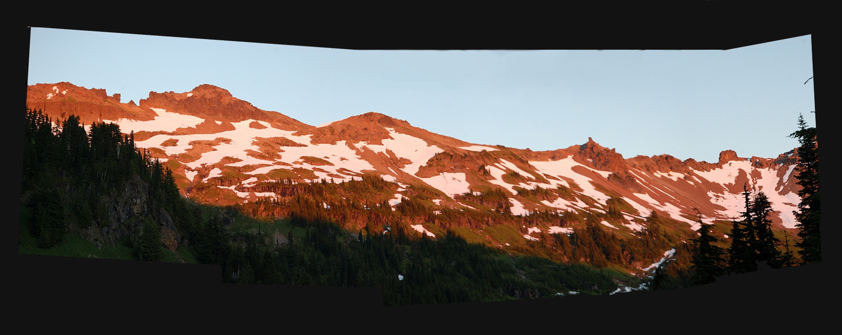
The knees were glad to finally be down near the lake, and evening was beginning to approach as it was near 5:30pm. It was marshy near the lake, but we found some dry(er) spots nearby and set up camp. Heart Lake is nice, but there really aren't many good camps, so we were fortunate no one was already here. I decided to take a nap and woke up just after sunset, but Roman was on the job, and he got some nice shots of the alpineglow.
Several large snowfields below Hawkeye Point ridge are keeping this section separated from Jordan Basin and the main Goat Rocks area, which is probably why we didn't see anyone else. I wonder where those hunters went?
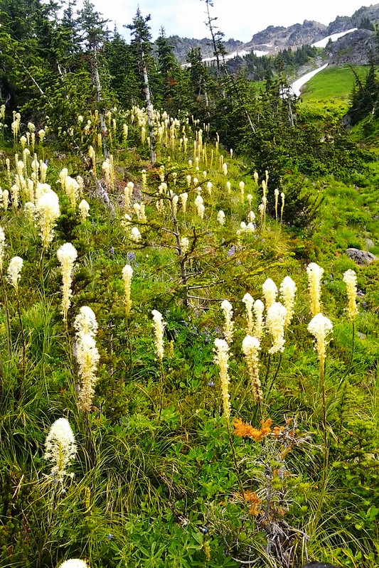
The next morning I explored some of the awesome meadows below Hawkeye Point. There is plenty of water in them, but they are green and flowers will be along soon. Lots of marsh marigolds and some pasque flowers at the moment.
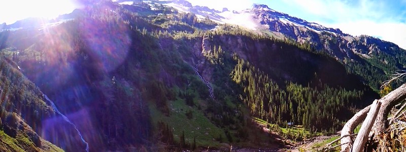
Through the trees, M. Fork Johnson Creek falls was really going. Stupendous spot.
It was time to pack up and go the way we came.
Passed two other couples coming in on Sunday. The long story short, snowfields are melting quickly, but it'll probably be awhile before the highest snowfields allow safe passage over Hawkeye Point ridge w/o gear. The big meadow flower displays are a couple weeks out in this area since it's still pretty wet, though there are some good ones on the rocky hillsides on the way in/out. Bugs were ramping up. Flies were terrible in the trees, mosquitos were plentiful in the evening at the lake. Still alot to like about this hike, even if it is difficult to get to and complete! Some of the best ones always are.
About 18 miles, 5500' EG. Check out the descent!