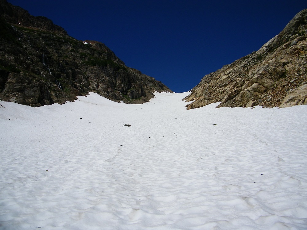
You have to cross Spider Gap on day 1 at 7050’, and there is no maintained trail. You go up the Spider Glacier on one side and down a permanent snowfield on the other. No crevasses or dangers like that, but if it is cold and the snow is hard, it is dangerous. Best to time it for warm afternoons, which I did. Still I took my Kahtoola Microspikes to be sure and used them on both sides. It was the first day after the storms when I was there and an inch or two of slush covered firm snow. I would say they were optional, but I had them and they did make it a bit easier and less squirrely.
Seasonal snow is essentially gone from the route otherwise. Only the fewest of small patches in sheltered spots.
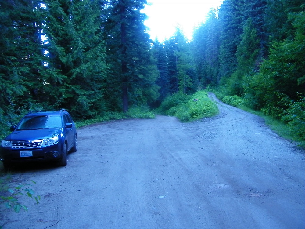
I made one route mistake. I left the Phelps Creek Trail too early and headed up towards the Gap on what seemed to be a fine trail, but it dissipated, leading to some hellacious bushwhacking, hanging from (alder?) stems to keep from sliding down. But I saw that the real route must turn the right side of the vertical headwall above and was happy to find the trail there.
There were few people on the route. I was alone as far as I could see at Lower Lyman, one other group at Image Lake (from Holden) despite being a Saturday night, and I saw no other campers at Buck Ck Pass, though some guys walked through around and must have camped somewhere.
My full trip report is at http://www.deanmyerson.org/spider-gap but here are some highlights.
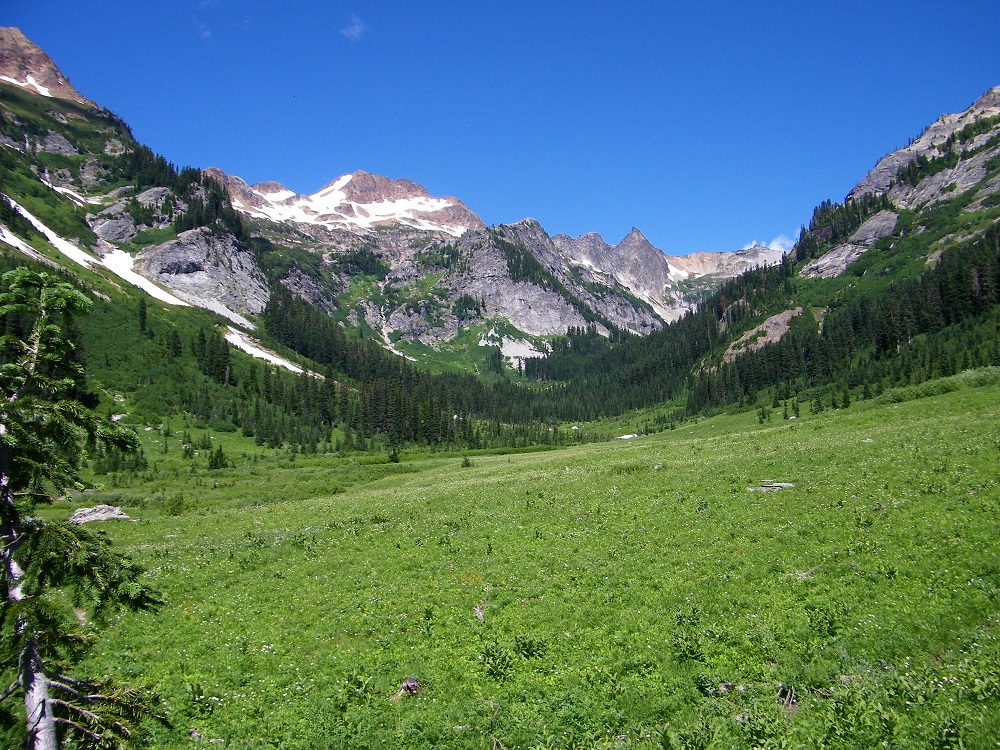
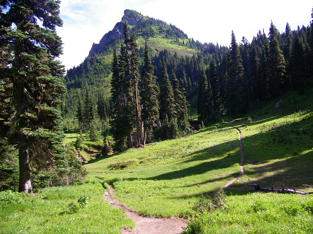
Spider Meadow
Spider Glacier (not as steep as it looks here - I would guess 10-20 deg.)
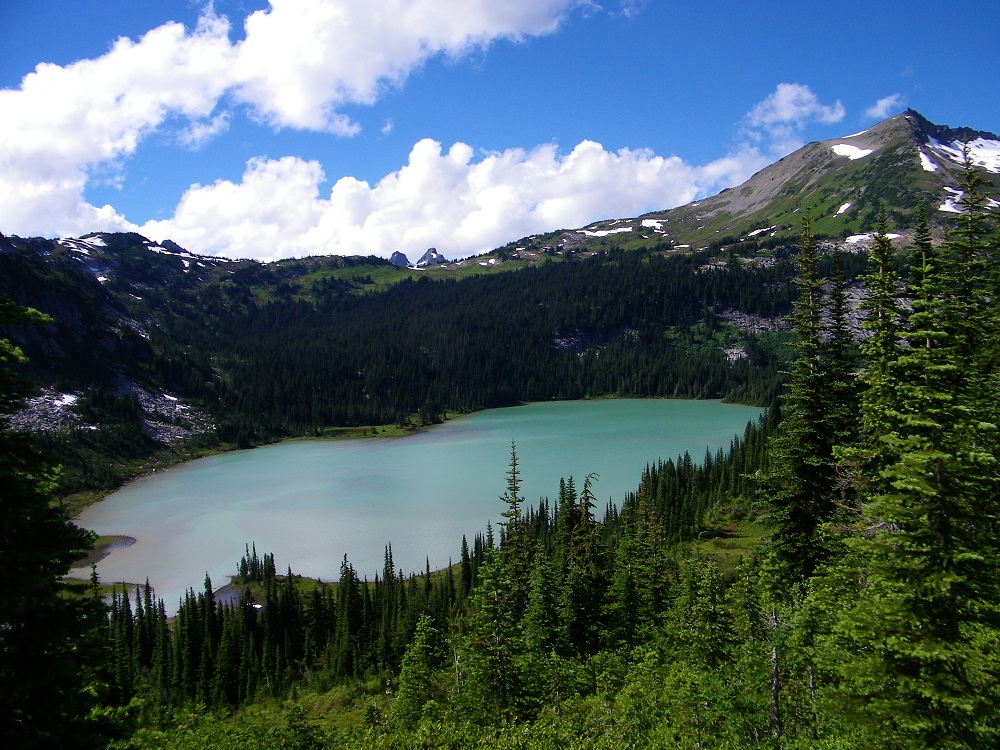
Lower Lyman
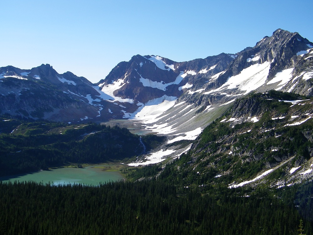
Lyman Basin (the obvious pass is Spider Gap)
Miner’s Ridge
Image Lake
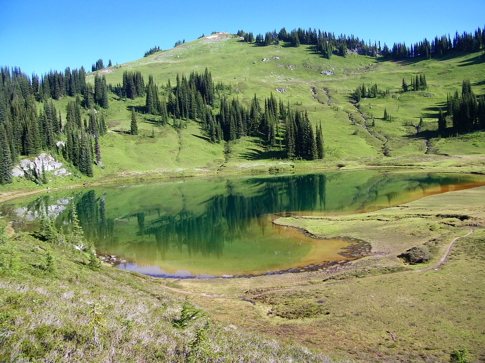
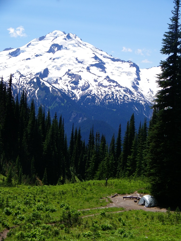
Image Lake Camp
Panorama
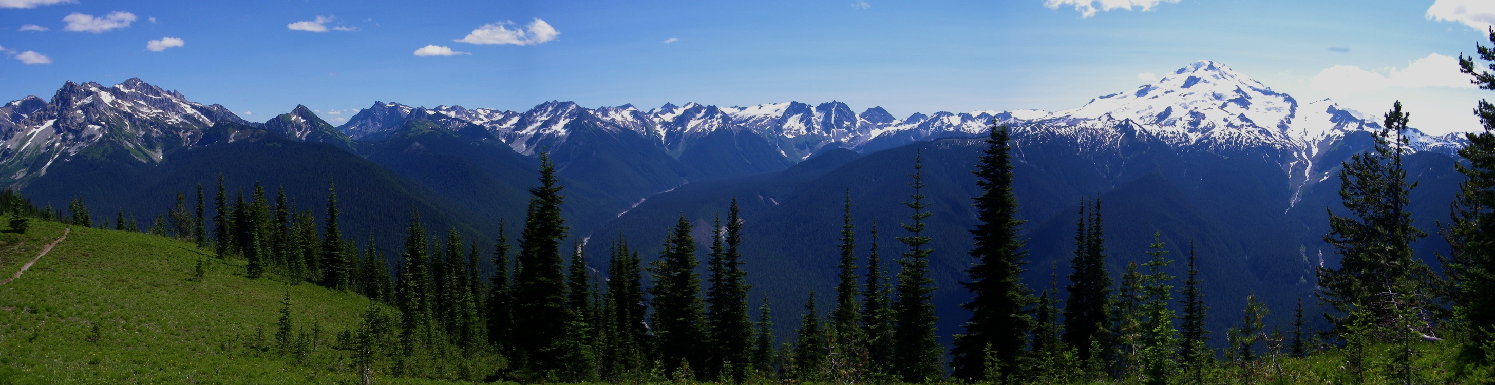
direct link to a larger version of the panorama
http://www.deanmyerson.org/files/photo% ... %20079.jpg
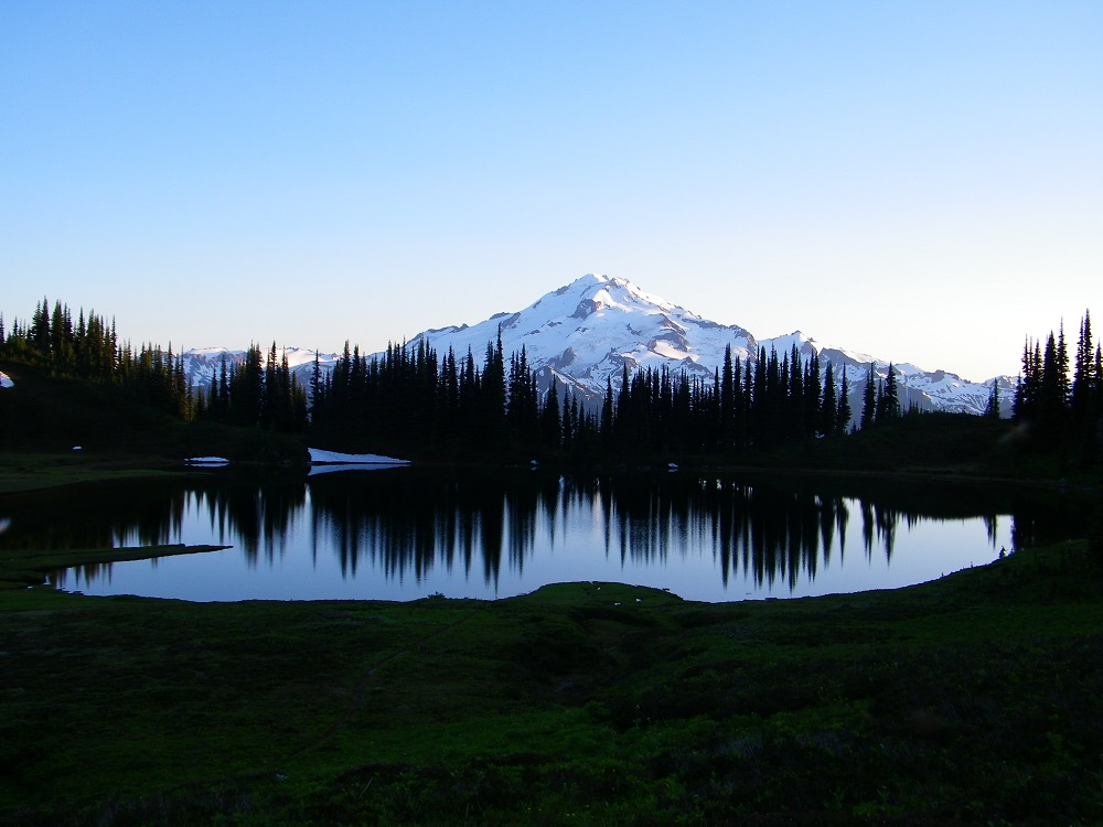
Image Lake and Glacier Peak
Buck Creek Pass
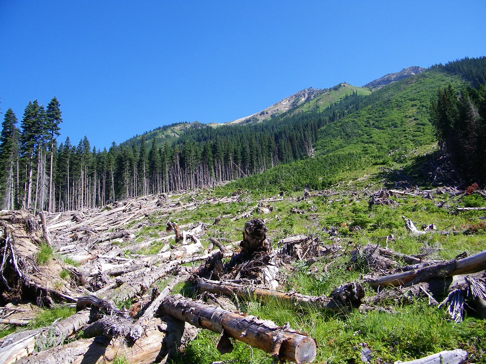
Buck Creek avalance chutes
back to cold drinks in the cooler!