Long story short, Goat Ridge have mostly melted out, only the upper basin @ 6300' had significant snow. The east side of the loop (trail #86) was snowy as expected, mostly snow covered above 6000' but even there some large snow-free stretches. 1-2 feet of snow in most places and that was melting fast - I expect it to be snow-free by the next weekend. Mosquitoes are light higher up, bad near Goat Creek @ 4600'. In the 1/3 mile closest to Goat Lake there were several feet of snow, that will probably last a month but its already many tracks thru snow and easy to follow the trail.
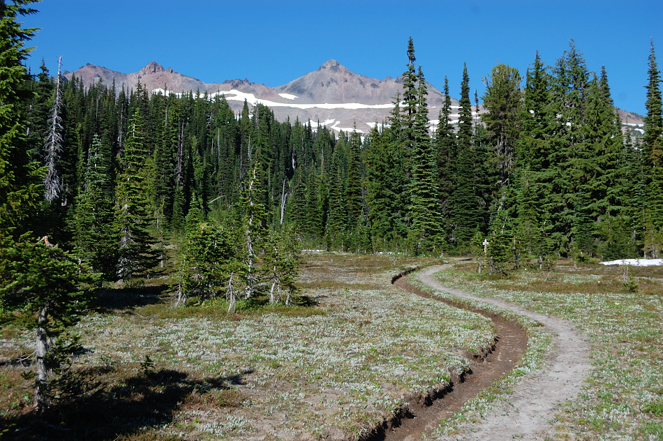
Jordan Basin already looks like it's summer
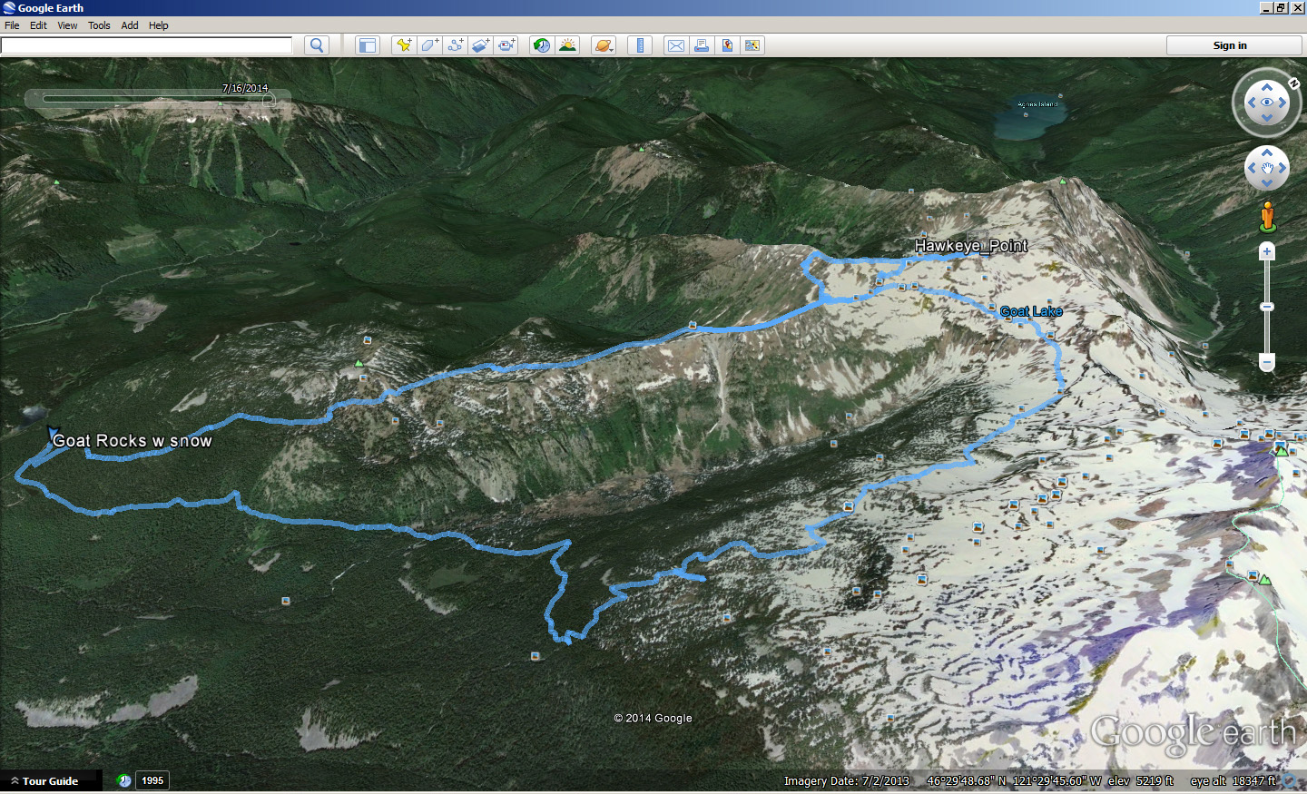
Screenshot of the route map
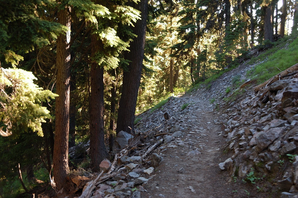
I started at 83F early afternoon on Monday (one other car at trailhead), but the trail up Goat Ridge starts off steep and in less than 2 miles it was low 70's and good breeze
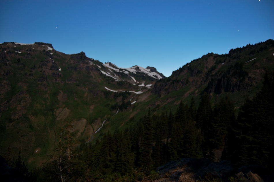
Night view from my camp
On the second day I didn't really have any plans, so I hiked up to the cirque at 6300', left the trail to check "tarn campsite" (campsite have melted out but the tarn not yet). Looked at that ridge to the west and it seemed not technical, maybe we can go to Hawkeye Point more interesting way? So off we went.
Just a grassy slope with some vertical ramparts (right term?), or "chimneys" as I came to call them
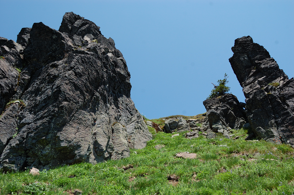
Going around the first row of chimneys & there was nice couloir almost to the top of the ridge
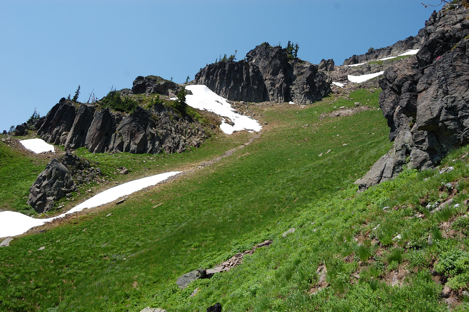
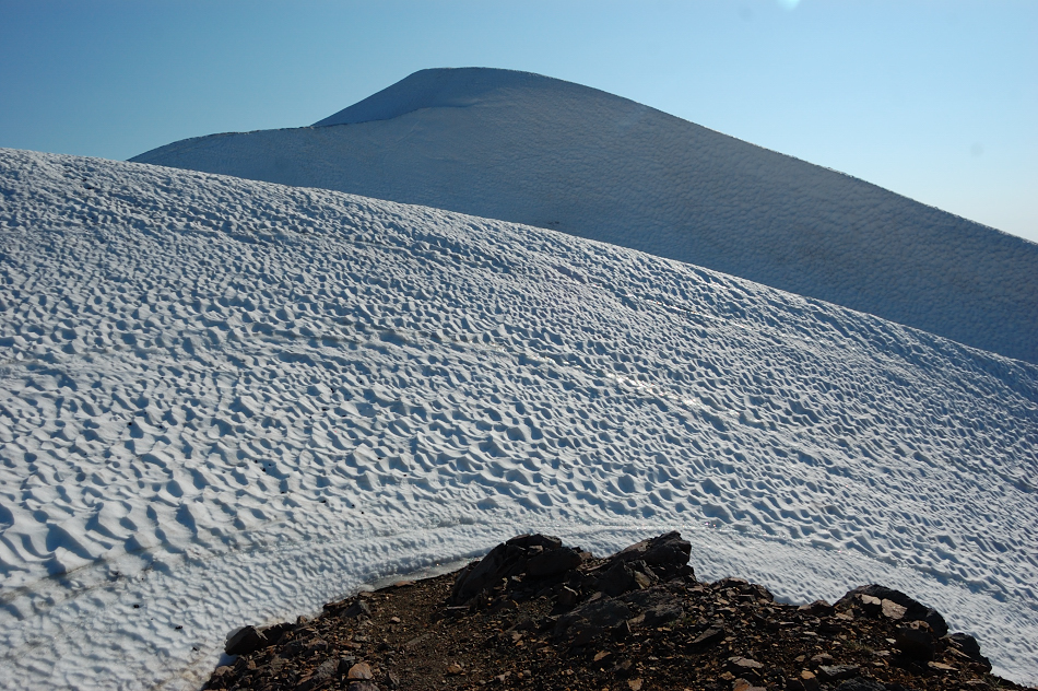
It never seemed that steep like in this picture. Just nice grassy walk
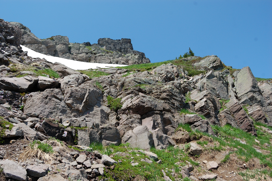
Some rocky scramble in the end
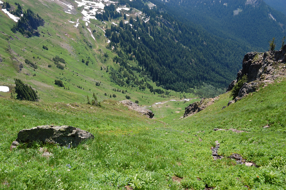
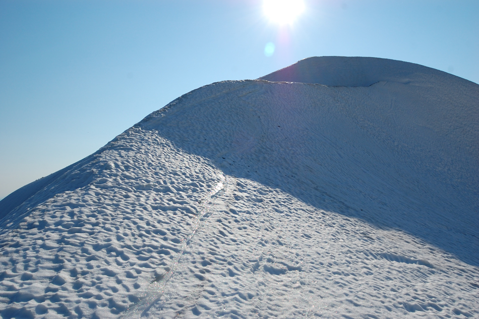
Looking back at the trail
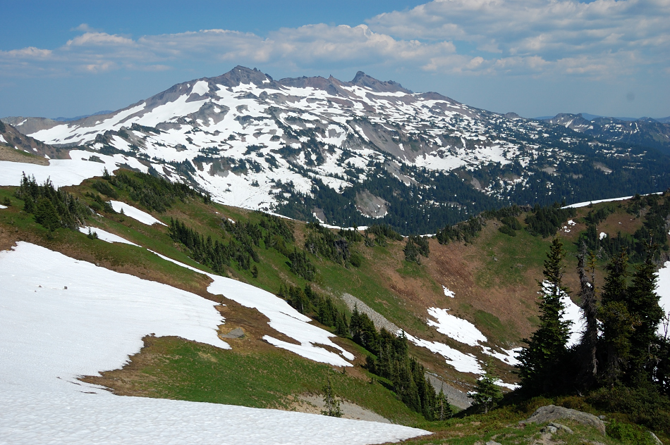
Main Goat Rocks come into view
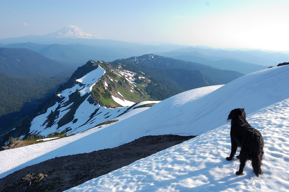
We made it! Nice (and quite airy) panorama of Johnson Peak from the ridge
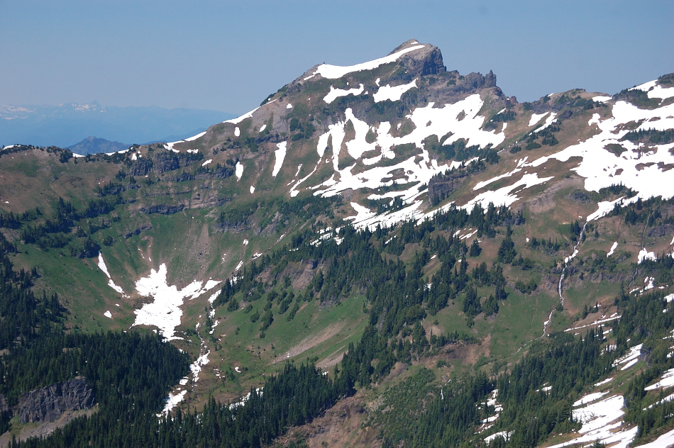
The rest of the ridge to Hawkeye Point (left edge of the picture) gave me pause... But it turned out not technical at all. We (my dog Pepper and me) passed around all the rocky "jandarmes" on the east (right) side
In about a mile we were back on the trail (still snowbound) to Hawkeye summit. The snowdrift just before the final climb is now huge - about 40-50 feet tall! Standing under it was like you're going to be run over by a snowy tsunami wave
OK, we survived it after all
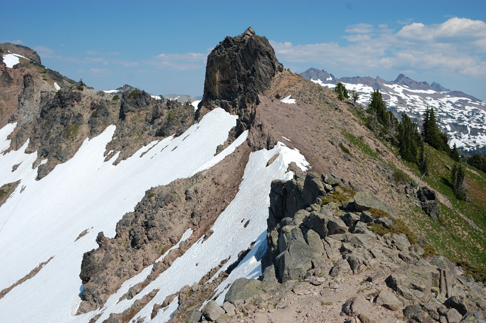
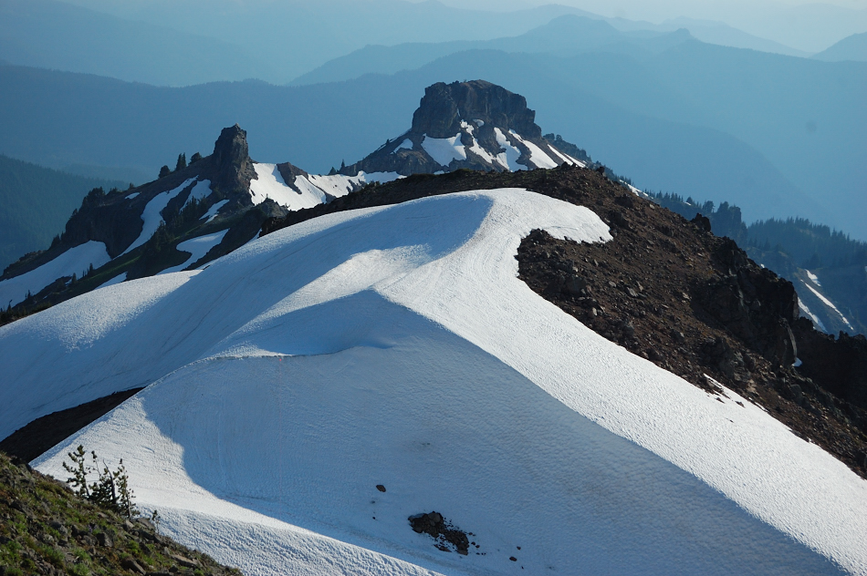
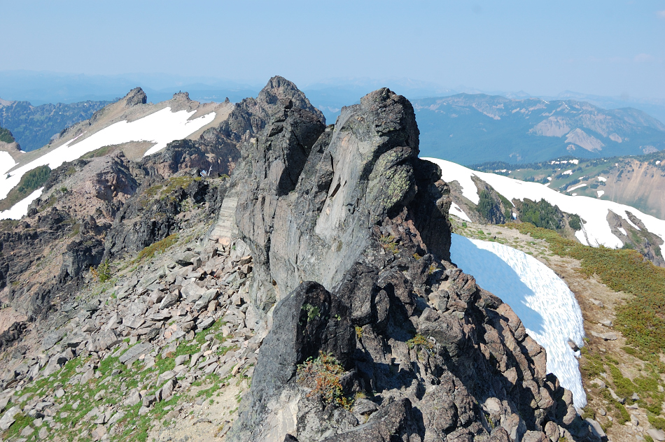
Looking back at Chimney Ridge
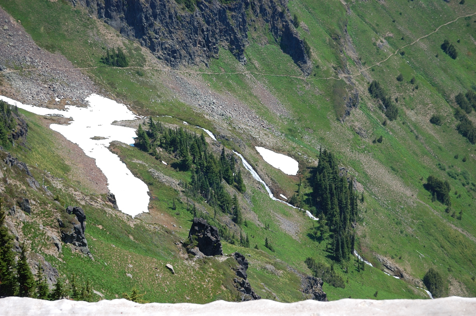
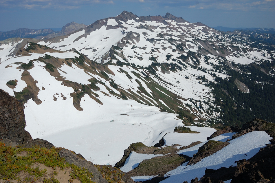
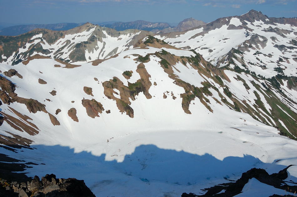
And down at Goat Lake and main ridge of Goat Rocks. LOTS more snow than nearby Goat Ridge. Also, I saw the boards remaining from the lookout tower under the cliffs on the NW side of Hawkeye summit, cool - I thought there's nothing but anchors left of that tower...
Checked out the campsite down the north side of Hawkeye - very nice one but if it got windy at night it will be a *very* sketchy one to get out (on the right of this cliff fin). Its right above the lake on top of 300-foot cliffs.
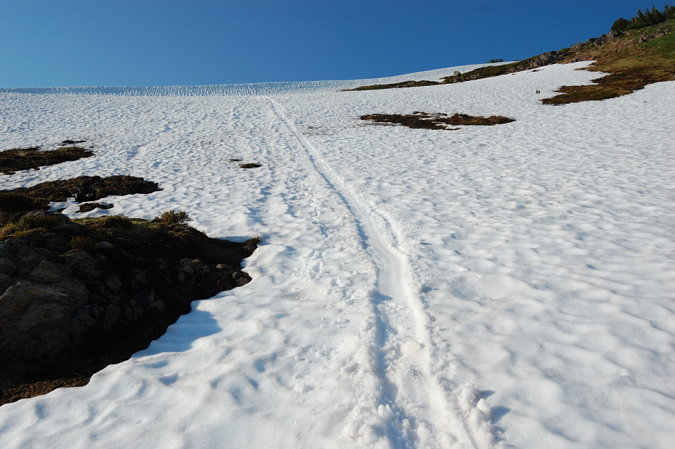
Still plenty of glissading opportunities
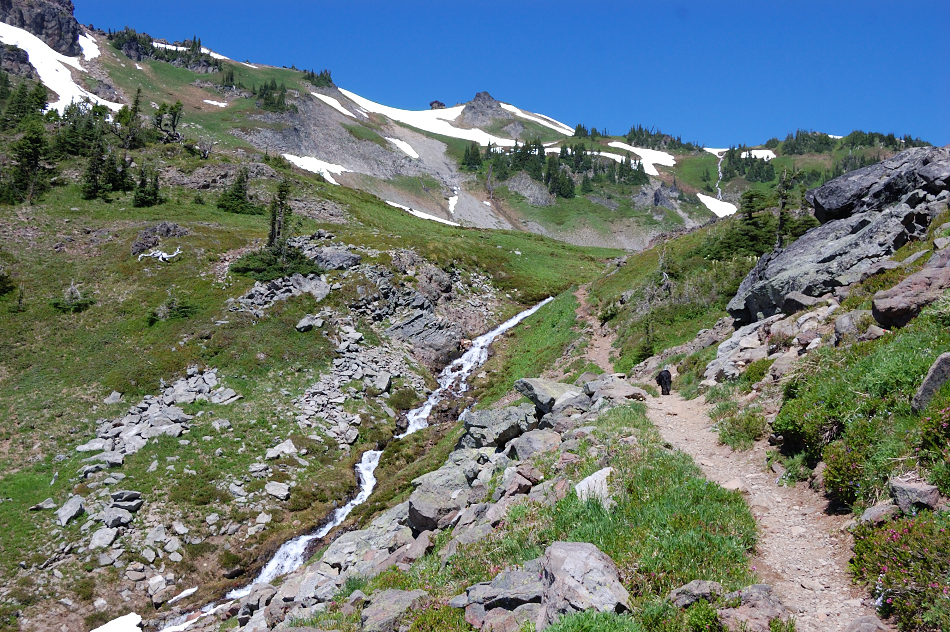
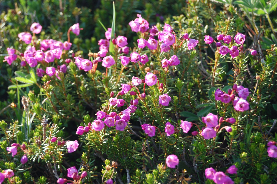
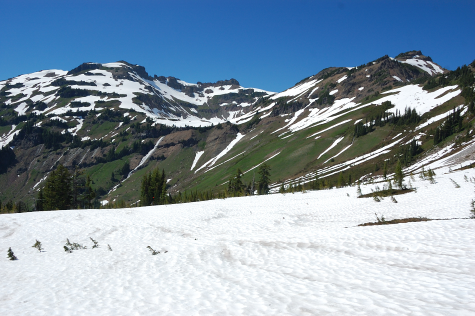
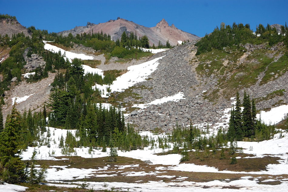
Next day went on the trail again up Jordan Basin. Some heather is just starting. The waterfalls were running strong and the wind carried echo away and back to us, it was noisy one moment, then suddenly quiet the next...
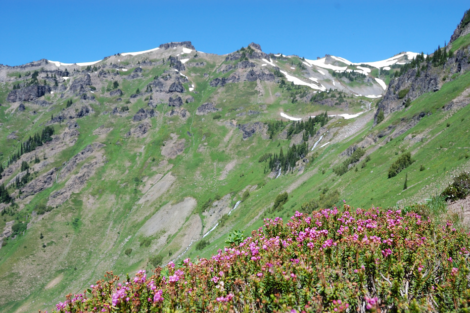
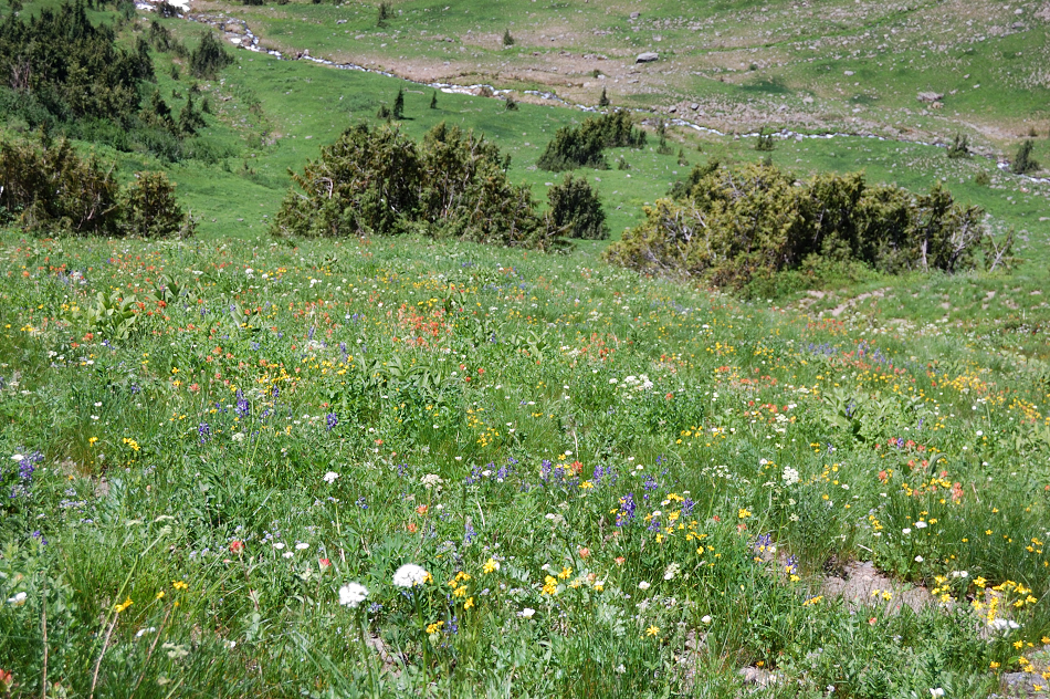
Other flowers already were pretty good in steeper places, that melted earlier
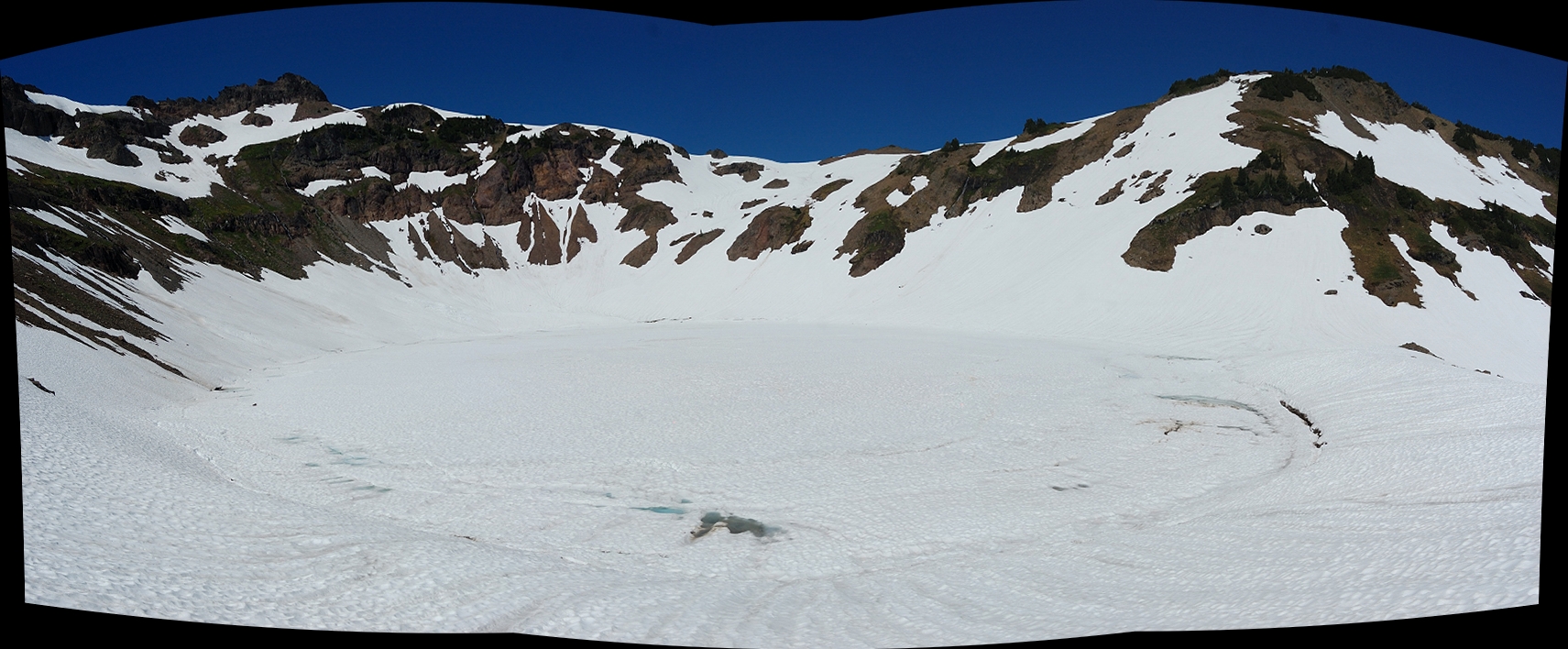
Goat Lake still ice bound as expected, but there's some open water near the outlet. Does it mean it has a chance to become completely ice-free this year (only happened once in the last 4 or 5 years)?
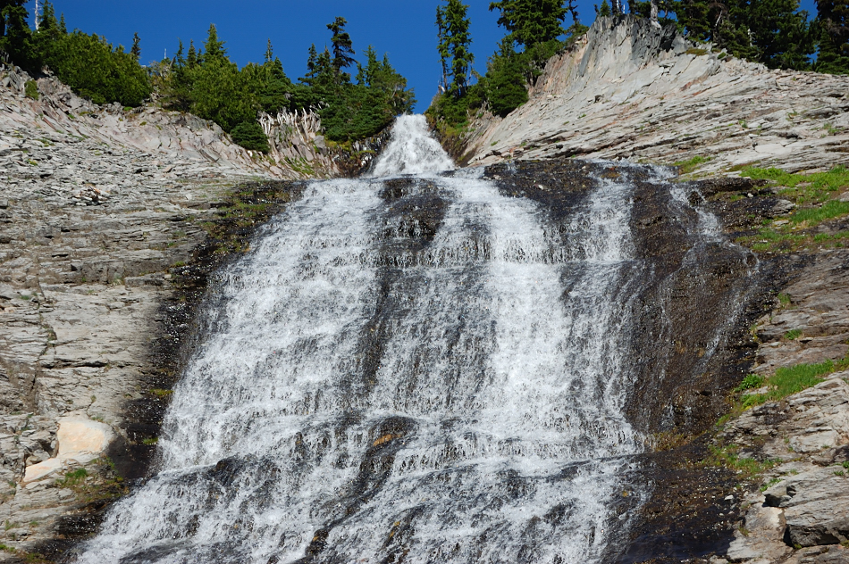
Looking back at lake basin and Hawkeye (left summit) just above it, from trail 86. Note the size and strength of outlet falls (wish I had something for scale), and many small streams to the left of it. Going down to the lake that whole hill side sounded like one big waterfall.
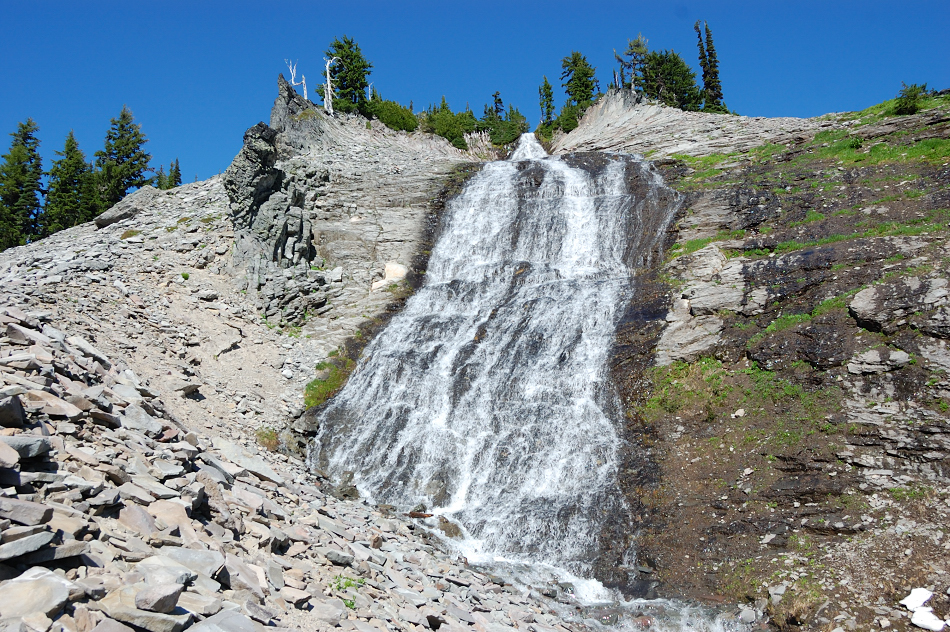
Beautiful Slide Falls was quite powerful too
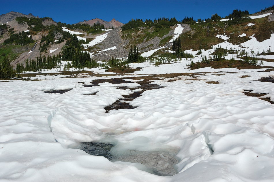
In many places snow cover was breaking up
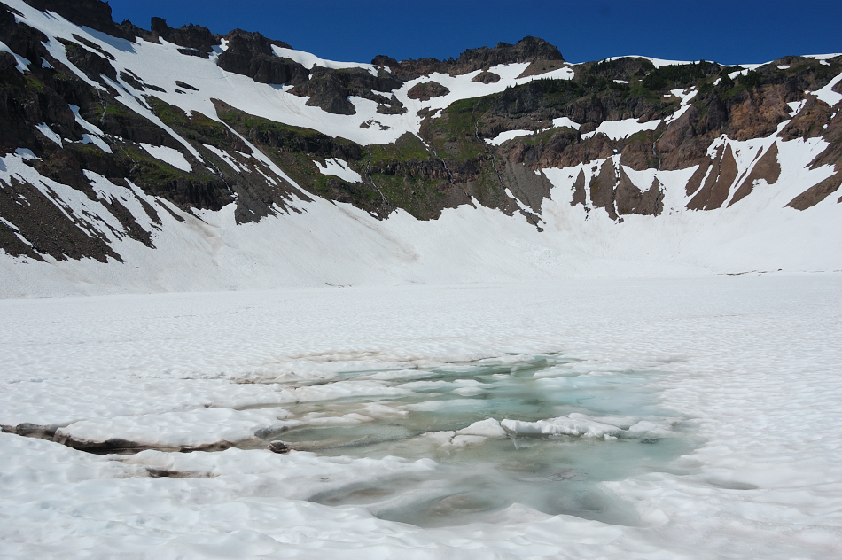
...sometimes revealing a different kind of "tourist traps" (this hidden tarn right by the trail is 2-3 feet deep but looks like ice break is natural & not caused by unsuspecting hiker)
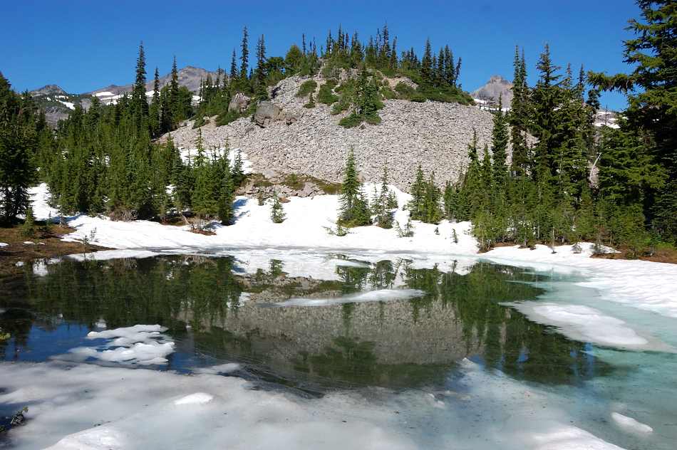
Not a lake, just flooded meadow
The camps at 5900' have mostly melted out
Back through the trees