cover shot in case this makes the front page
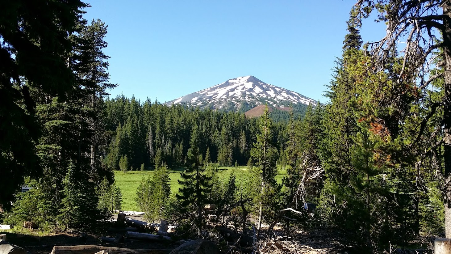
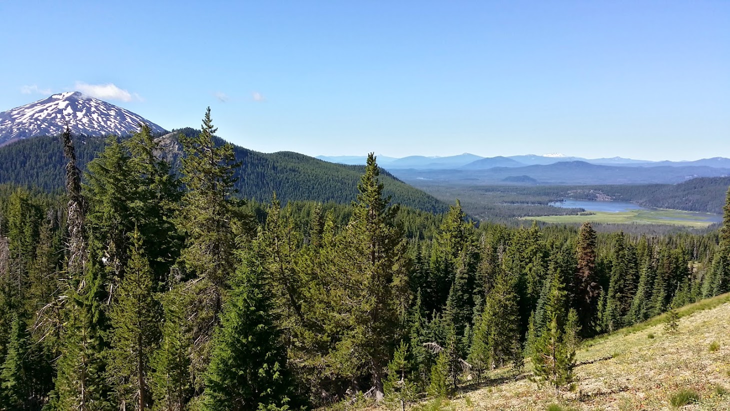
Mt. Bachelor from the Todd Lake TH parking lot

just to confirm I'm not lying about my starting point
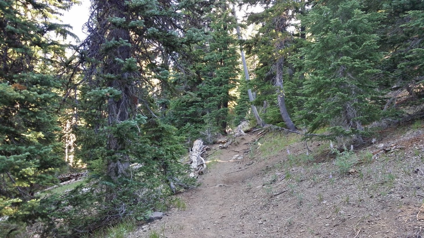
generic shot of the first 1.5 miles of the Todd Trail...never too steep
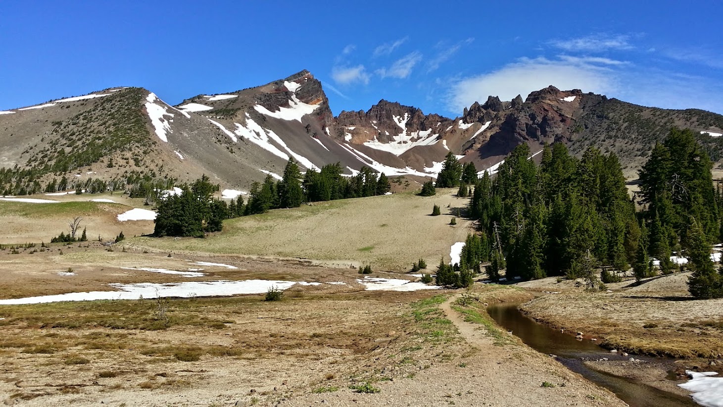
first view of Broken Top in the distance
9 AM on a Sunday, to me this is church
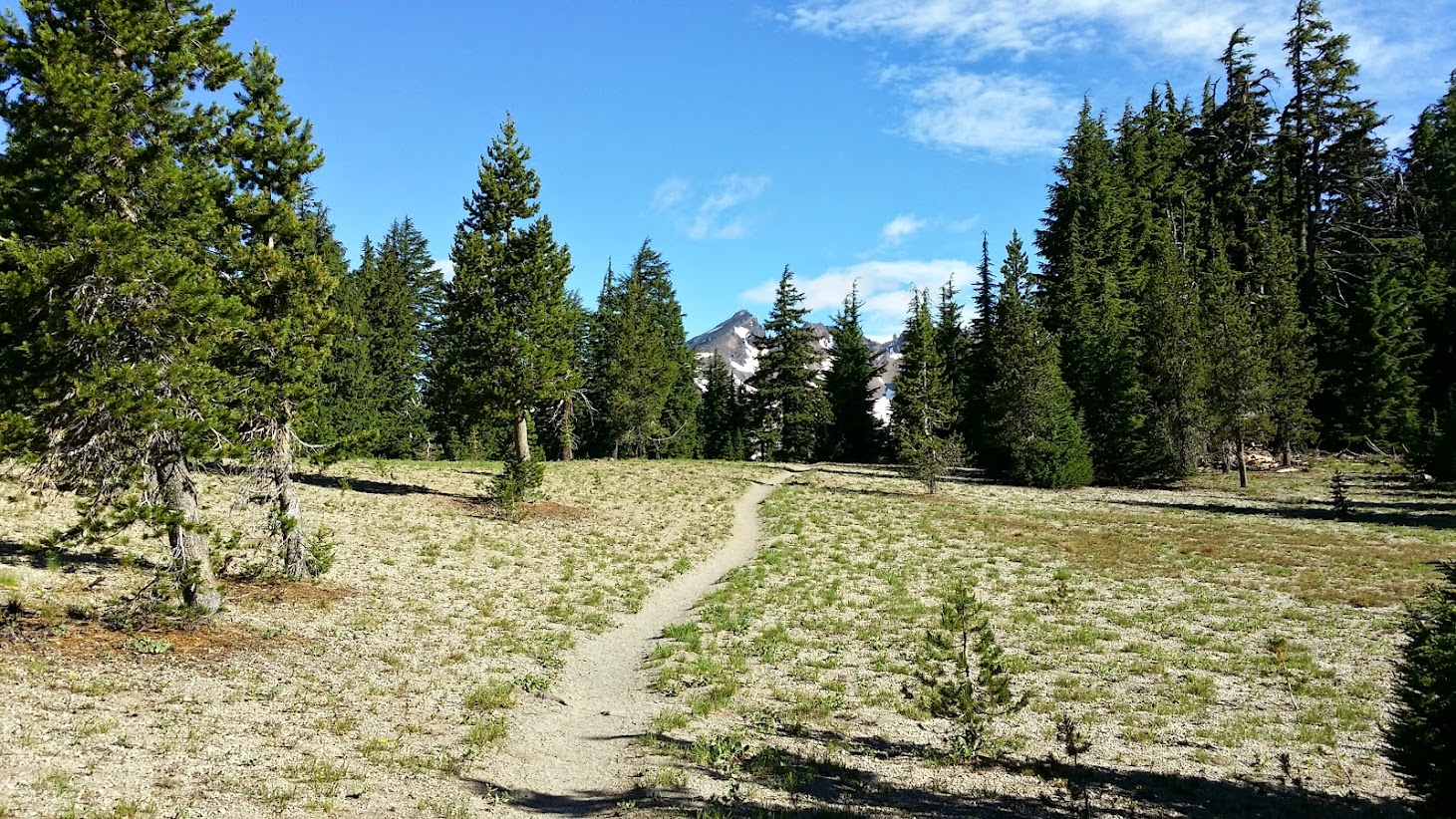
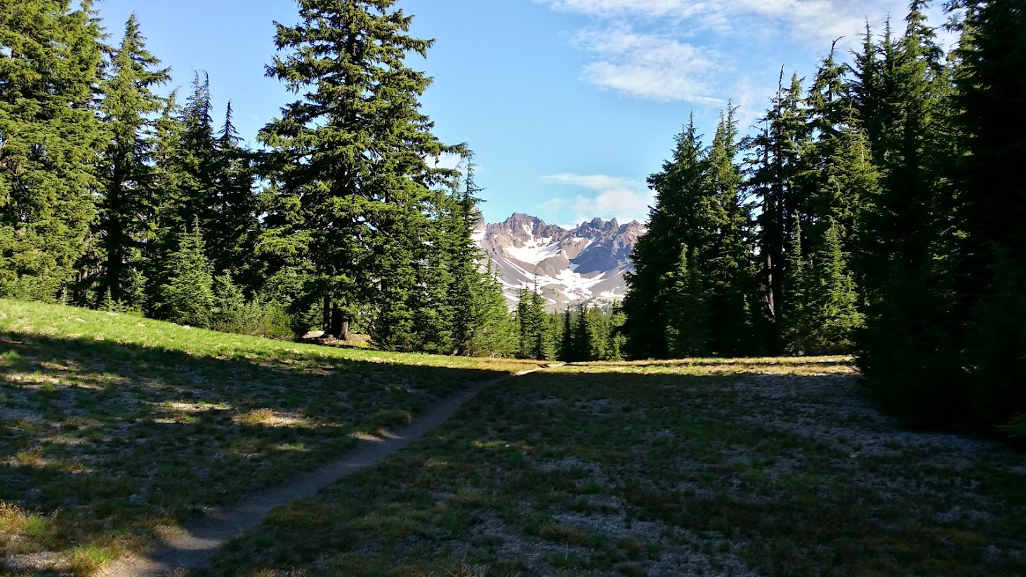
the first of many many meadows

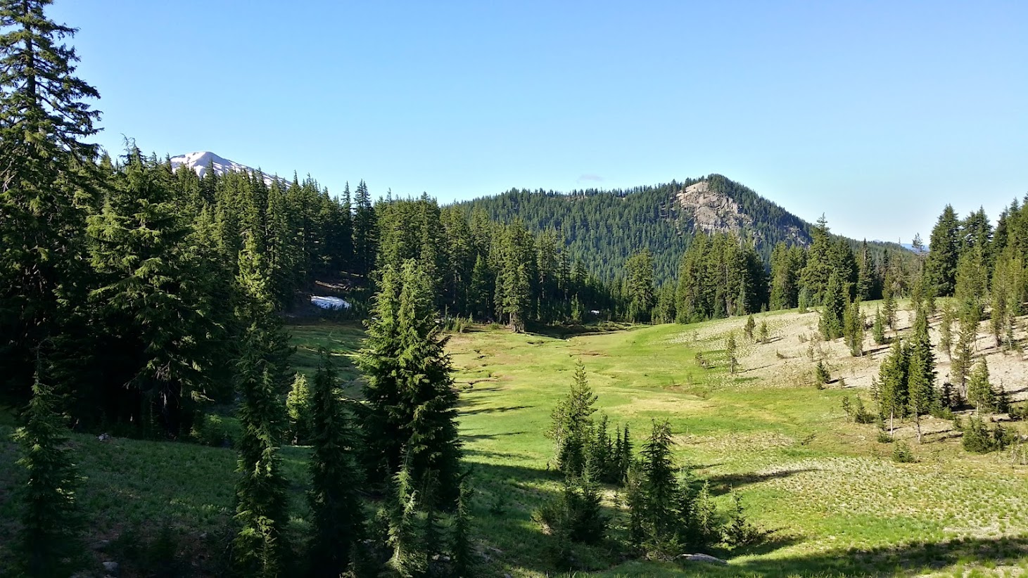
yay for more meadows

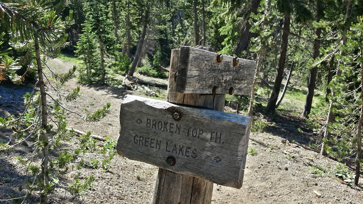
intersection with Soda Creek Trail...make a left here and it's down to the Green Lakes TH

needless to say, the colors this morning were incredible
no smoke in this part of Central Oregon

what happens when you roll directly out of bed and into the car without any thought of hair styling

looking back to Bachelor
view toward the southwest with Sparks Lake and Diamond Peak...with Mt. Thielsen making a cameo
proof of location

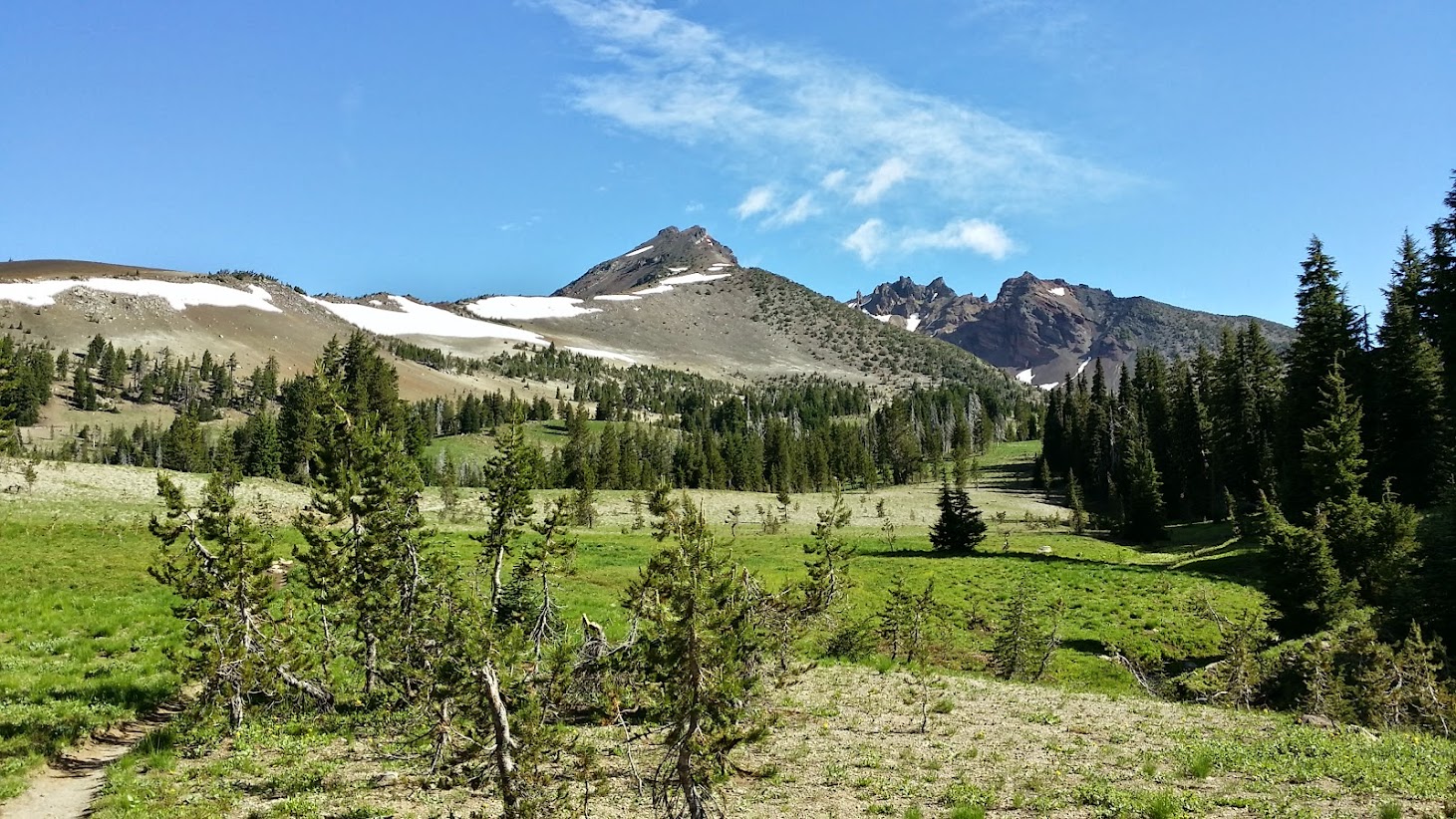
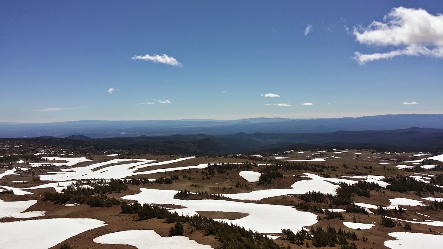
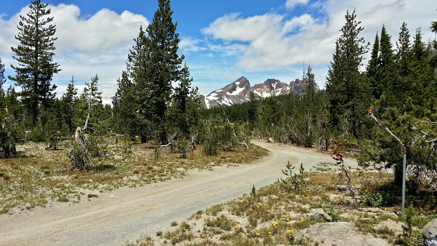
now heading east into the pumice meadows

oh so tempted to just ditch the trail here and lumber up there
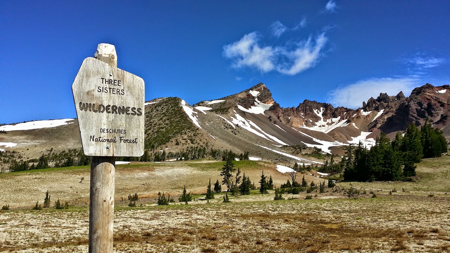
Deschutes County and Bend need pics like this on their brochures
this stream looks eerily canal-like...there was a sign which I thought I took a pic of that said "Crater Ditch TH ->"...however I've never seen any other reference to the Crater Ditch Trailhead or Trail...

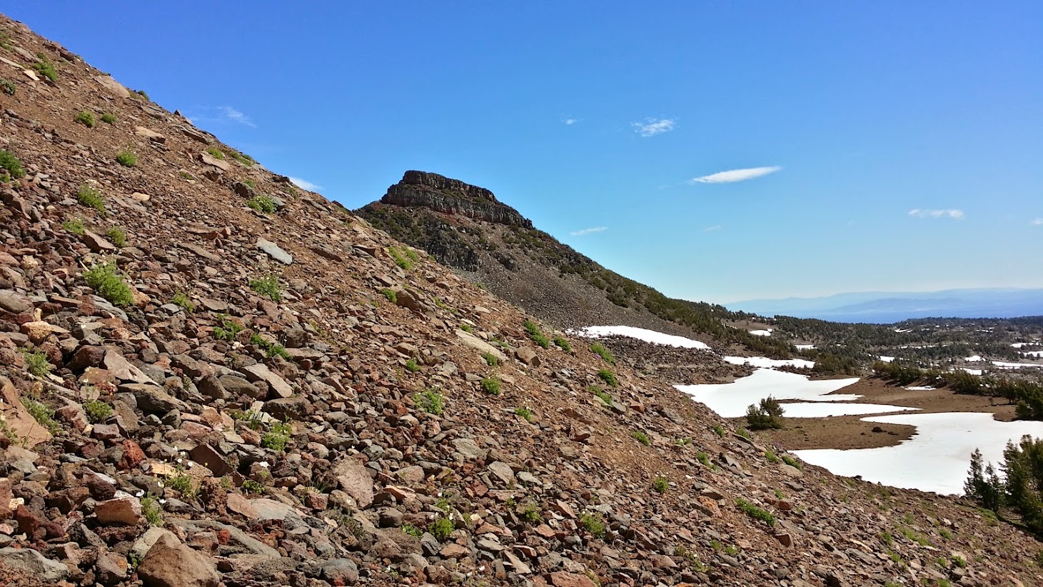
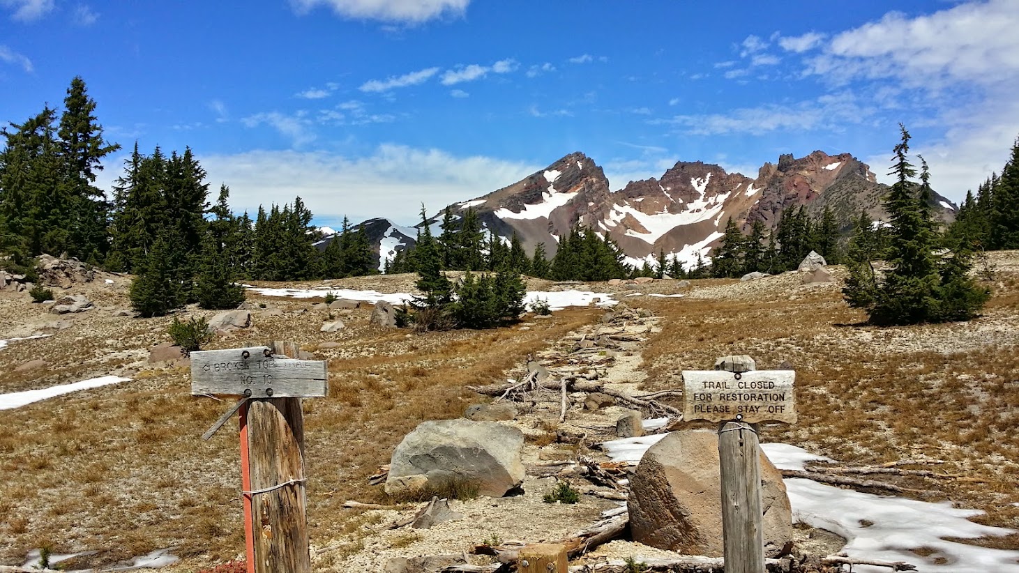
this is where the unofficial trail branches off to the north of the Broken Top Tr....about 0.4 miles west of the impossible-to-reach Broken Top TH

now we're on the unofficial trail....and snow fields start to make their presence known
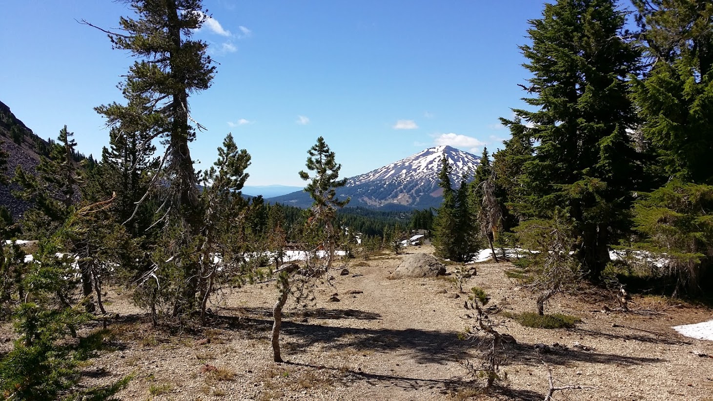
looking back toward Bachelor again

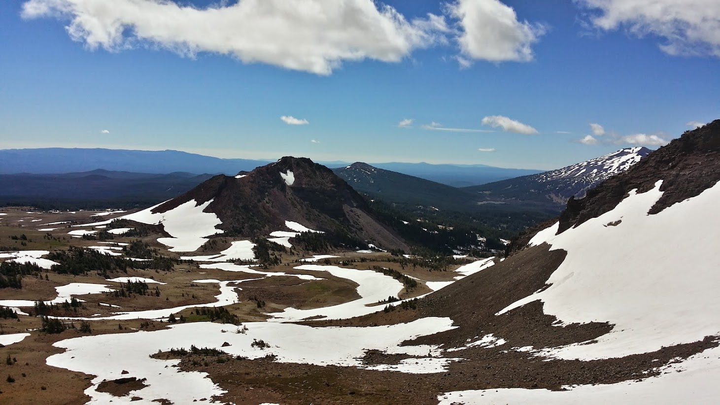
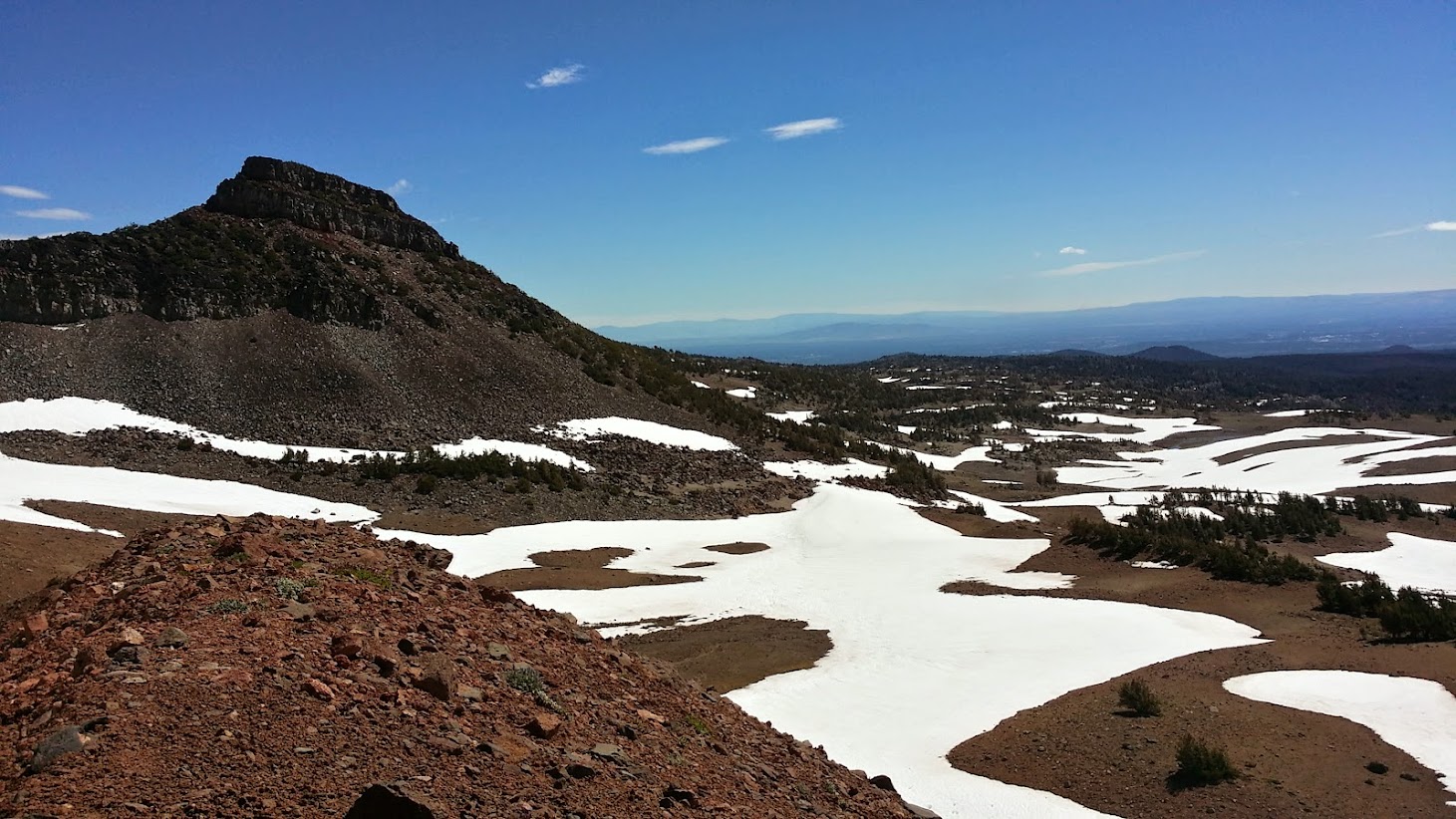
Ball Butte

at this point I lost the official unofficial trail, which apparently went off to my east...Sullivan mentions a divide where you can peer west toward South Sister...from my perspective I was hoping the red hill on the right side of this pic was my goal, so I started to head toward it

Broken Hand

snow + pumice = slow elevation gain

contouring this beast wasn't getting me anywhere, so it was a straight-up attempt...and keeping with the Paula Abdul, it was two steps forward, one step back
made it to what I thought was the top...however the actual top was the next ridge to my north (this picture looks south)....however, I made it to 8,075 ft...and it's only July 20th!
Broken Hand and Bend...way in the distance
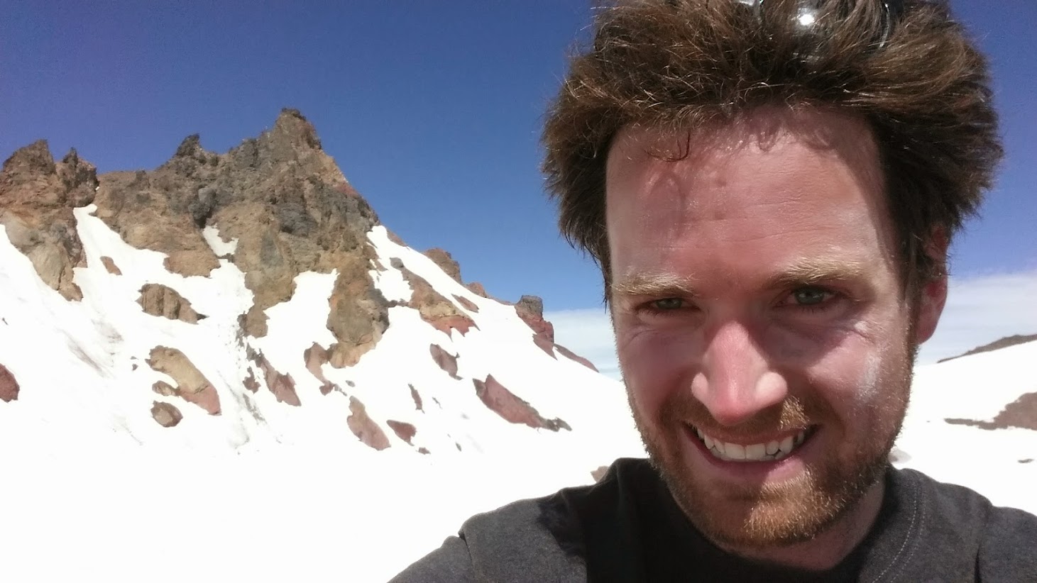
a rather sad selfie, but the highest selfie I've ever taken in Oregon (aside from the top of the Summit Lift at Mt. Bachelor, but that's cheating)

THAT is the pass I wanted to get to...no worries I need to take my gf on this hike in a month or so...it'll be melted out by then
top of the world...not really...considering South Sister is all of 5 miles to my west

time to glissade...beats bodily-embedded puimice

the official unofficial trail I lost in the snow
the steepness of this moraine-looking-thing I climbed

fast-forward and we're back on the Broken Top Trail heading east
near the "Broken Top Trailhead"
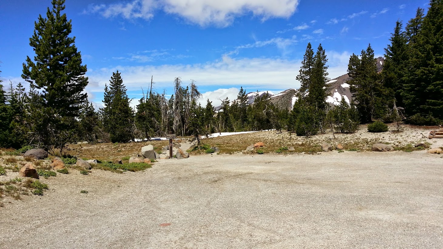
quite a large parking lot for a rather inaccessible trailhead
the next pics are from my walk down NF 380 and NF 370
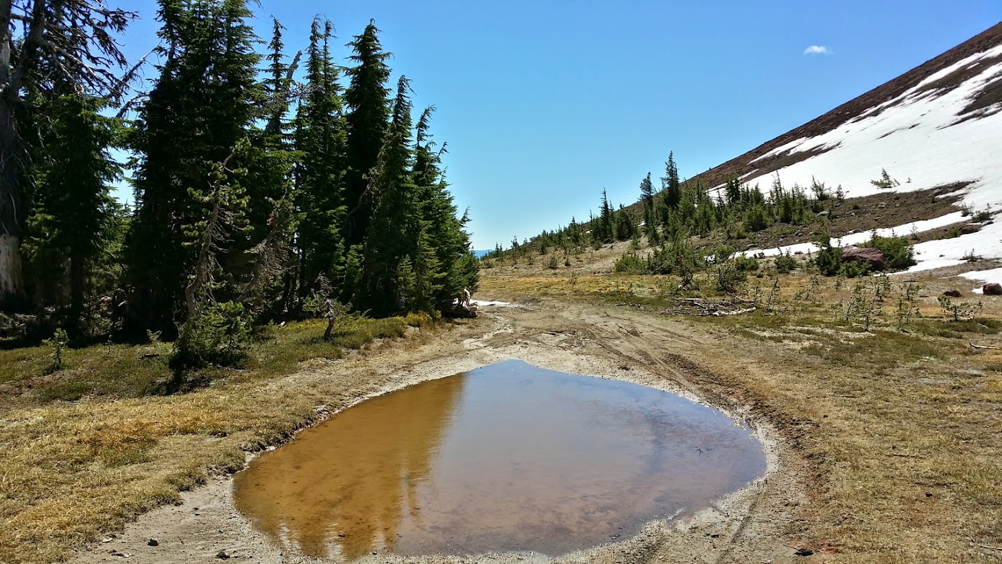
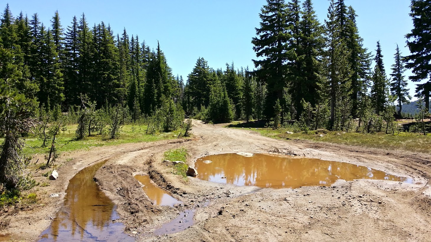
pothole or pond?
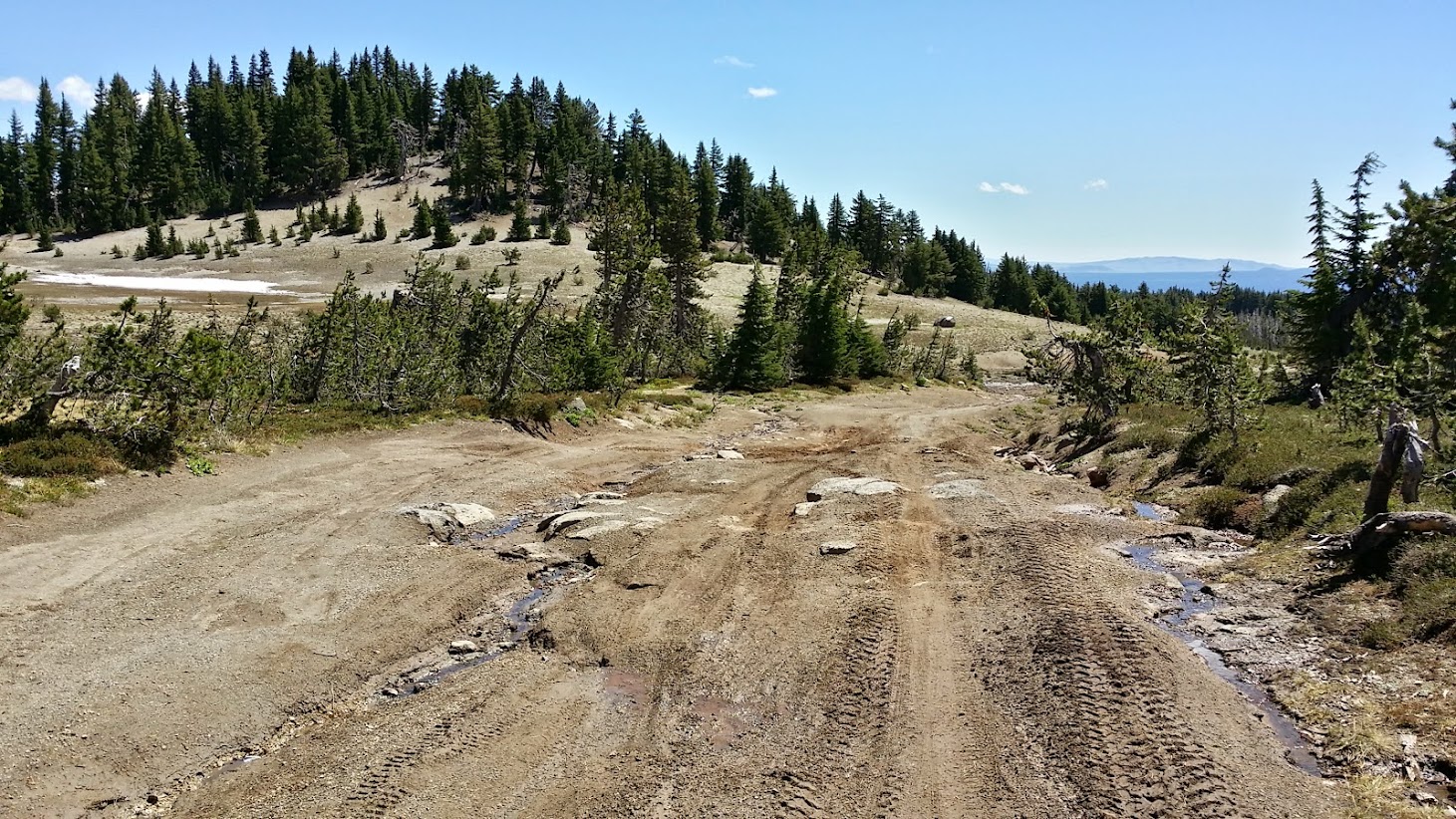

"road" is a bit of a stretch

what it lacks in structural integrity, NF 380 makes up in jaw-droppitude

maybe NF 370 will be better?

nope...methinks this will need to be cleared if Deschutes intends to open this road by "the last week in July" as their website says
for a "road", this made pleasant walking

one more shot of Bachelor for good measure
federally-financed swimming pool

cute meadow about a mile up from the Todd Lake TH
Overall, this is one of my top 10 of all time (#definiteredovalue). This area looks quite different than much of the Cascades due to Broken Top's completely non-symmetrical appearance. I probably jumped the gun a bit in doing this in late July, but snow was not a problem at all on the maintained trails. I also got lucky with the weather, as I was getting back to my car, everything started to cloud up and the top of Broken Top even disappeared. All I can say is "good luck getting to the official trailhead"! They say it can be done, even in a passenger car, but those two roads are probably best enjoyed walking. Plus, doesn't scenery seem just a bit nicer after you've hiked 6.5 miles each way to see it instead of driving up in a car?!
I apologize for my blabbering. I'm exhausted and am on Deschutes Fresh Squeezed #2 at the moment.
Thanks!
Chris
Bend, OR


