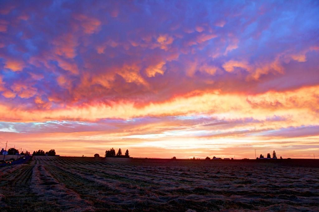
First off, here is a shot of the sunset from near Silverton when I was on my way to drop the kids off with their grandmother on Friday night.
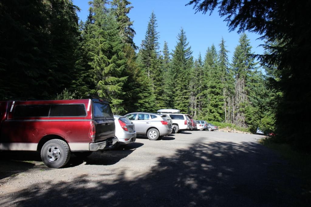
I didn't get to Marion Lake trailhead until about 10:00 or so Saturday morning. The parking lot was pretty full with few cars parked along side the road.
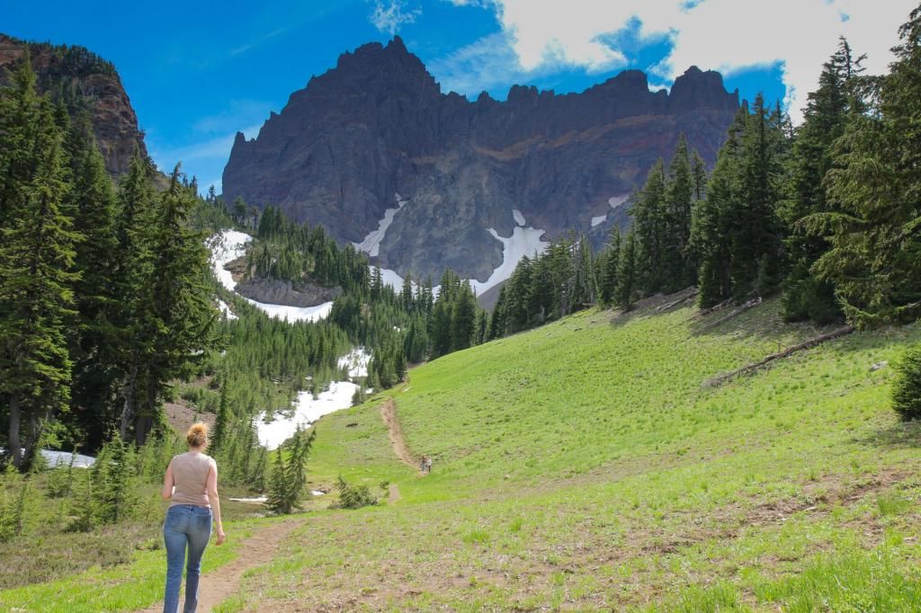
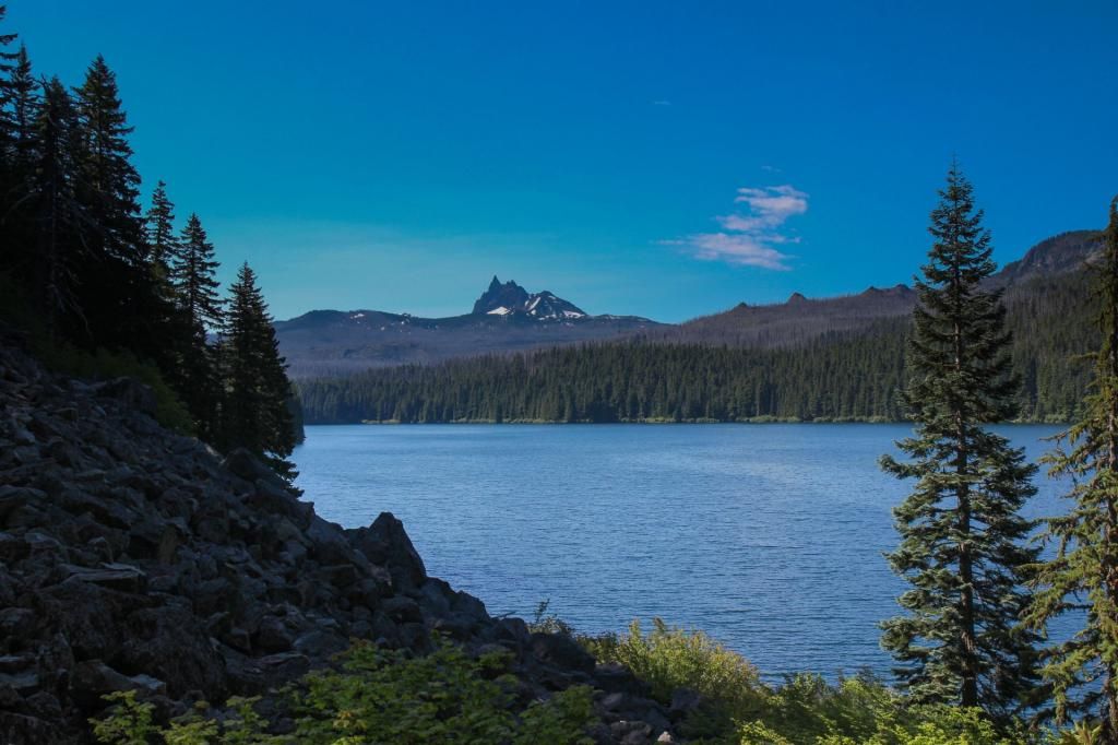
First view of my first night's destination, Three Fingered Jack, beyond Marion Lake.
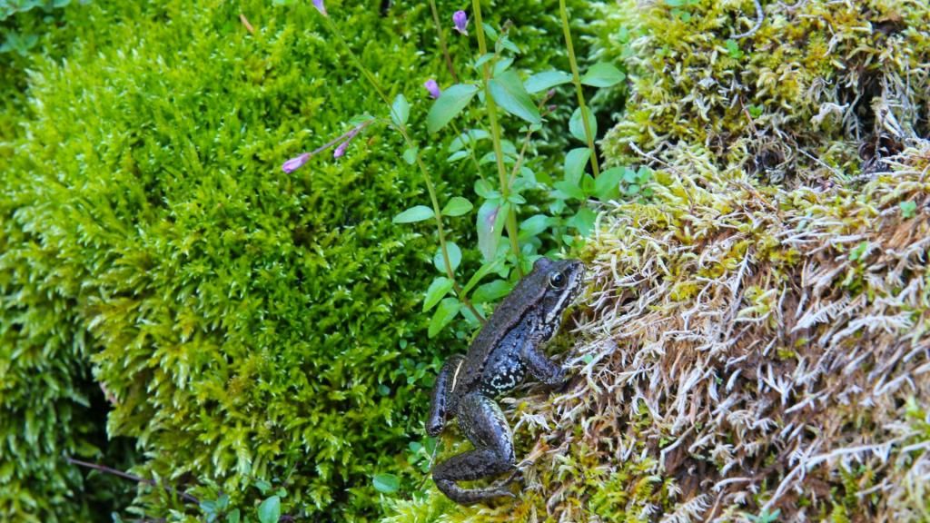
At Marion Lake I took the trail along the East shore and headed toward Minto Pass. There were a few decent sized streams crossing the trail not far from Marion Lake. This little guy climbed out of one while I was refilling my water.
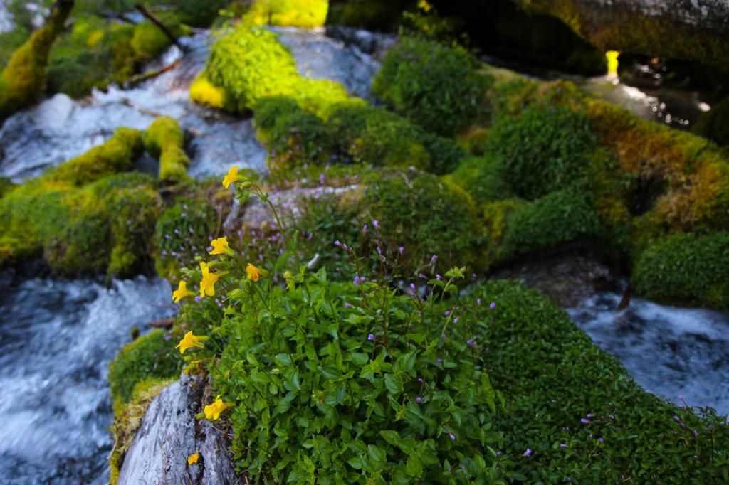
Some flowers growing on the rocks in the next stream.
This guy was about as wide as my boot and sitting still on the edge of the trail. His camouflage nearly got him impaled by my trekking pole.
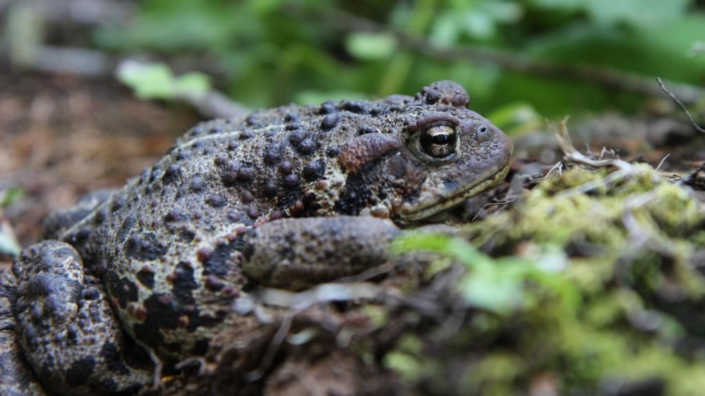
There were a bunch of big frogs like this and many more little ones. I've never seen so many before.
The trail condition quickly deteriorated. There were numerous blow downs and the sides of the trail were getting overgrown. If you wear shorts when you hike approach the trail between Marion Lake and Minto Pass with caution. The trail is in the center of the photo.
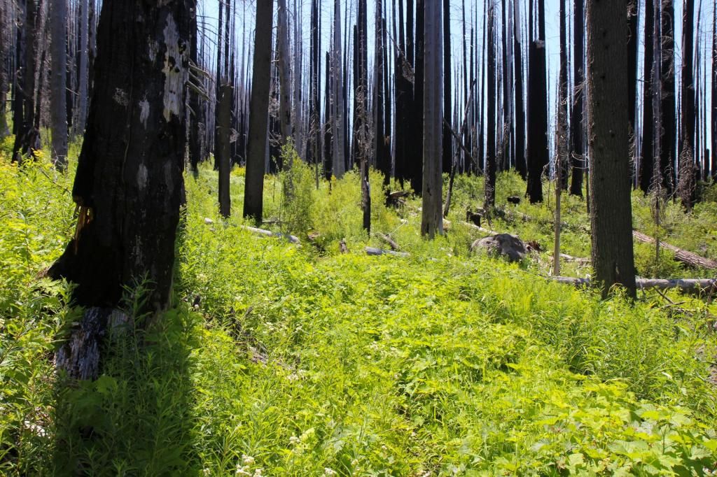
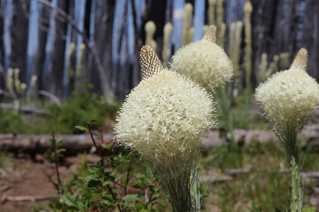
But there are some flowers along the way.
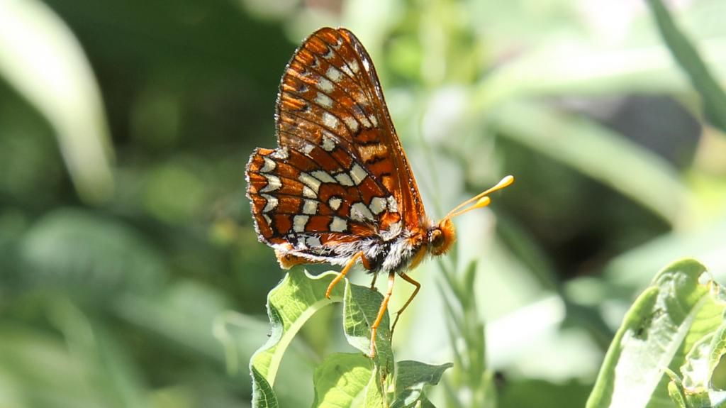
And some butterflies.
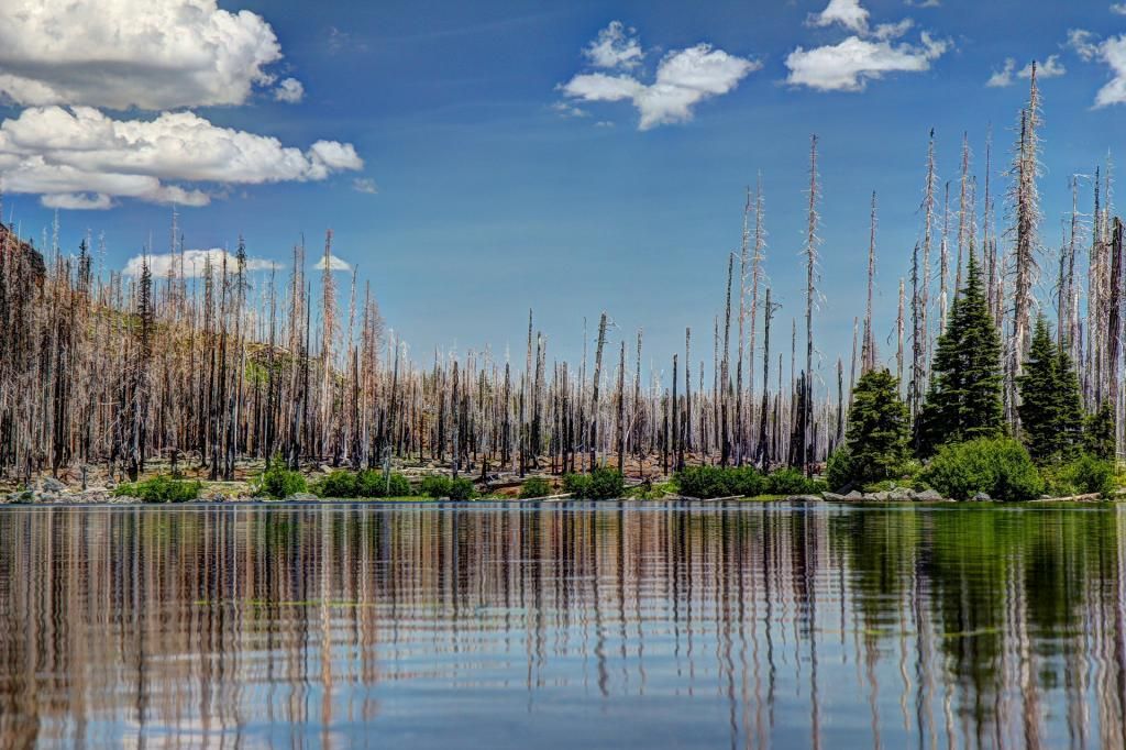
I dropped down at Minto pass and took in the view at Wasco Lake. There were campers with a barking dog on the north shore and a family wading on the South side. I aimed a shot between them to get a people-free view of the lake.
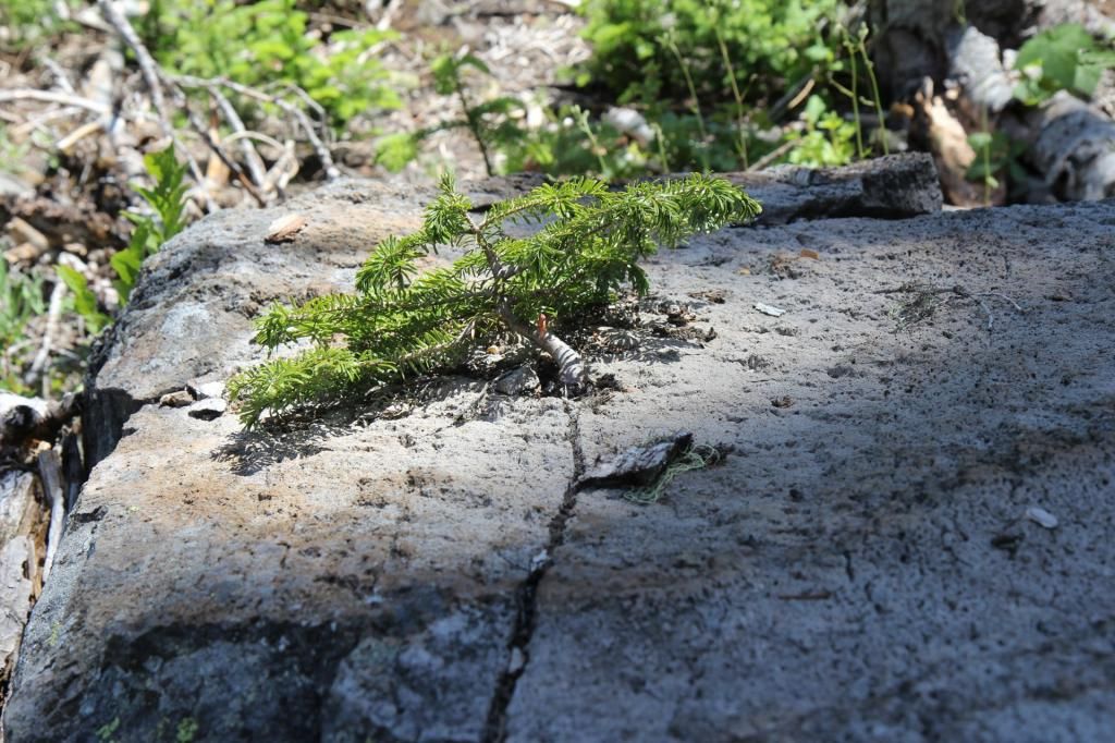
Along the trail at the South end of Wasco lake is a little tree growing in a crack in a rock. There is an inspirational poster here somewhere.
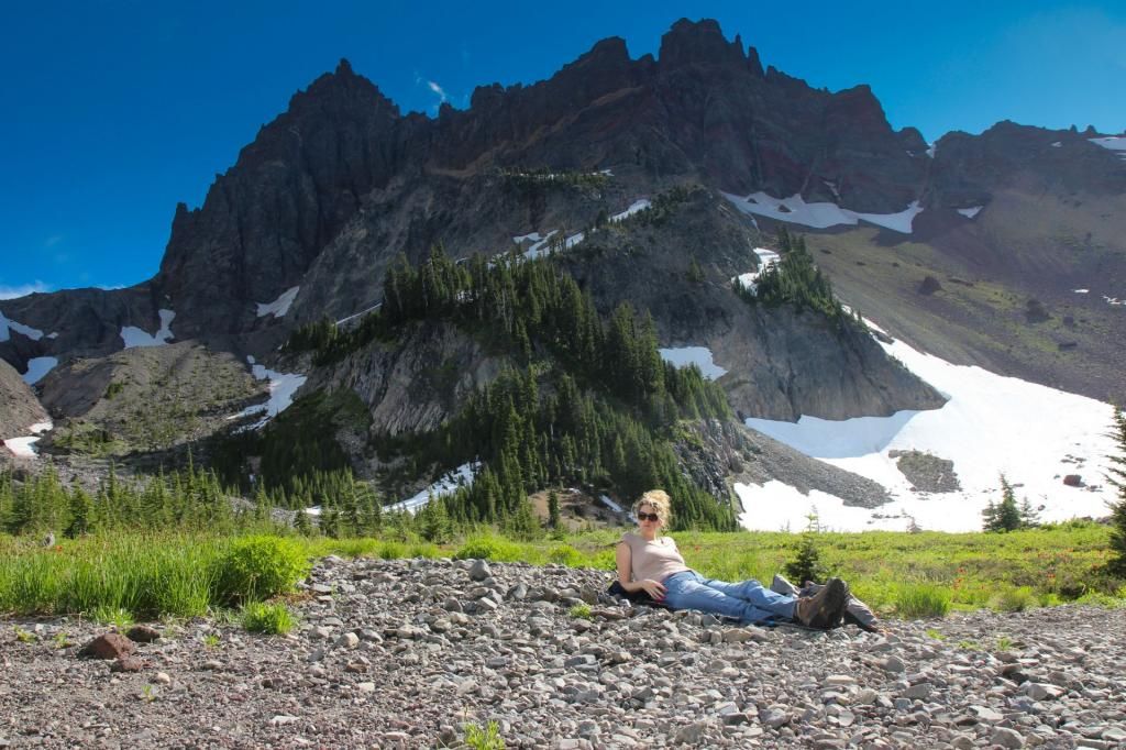
I continued on into Canyon Creek Meadows. It was nice to get into the thicker tress and I appreciated the shade. I walked to the end of Canyon Creek and up the slope to the small snow-melt lake.
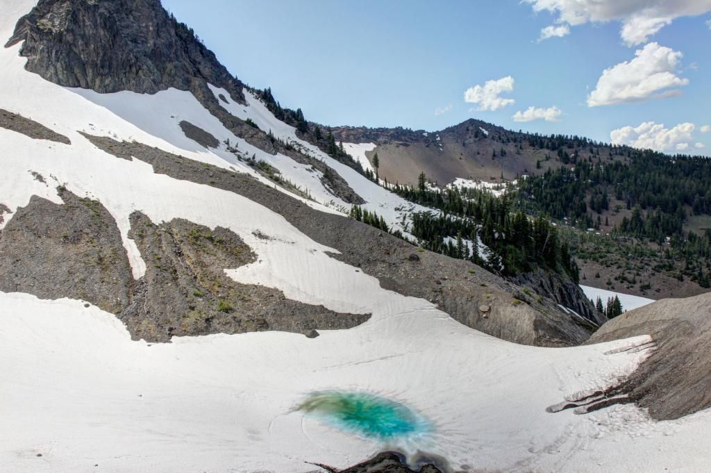
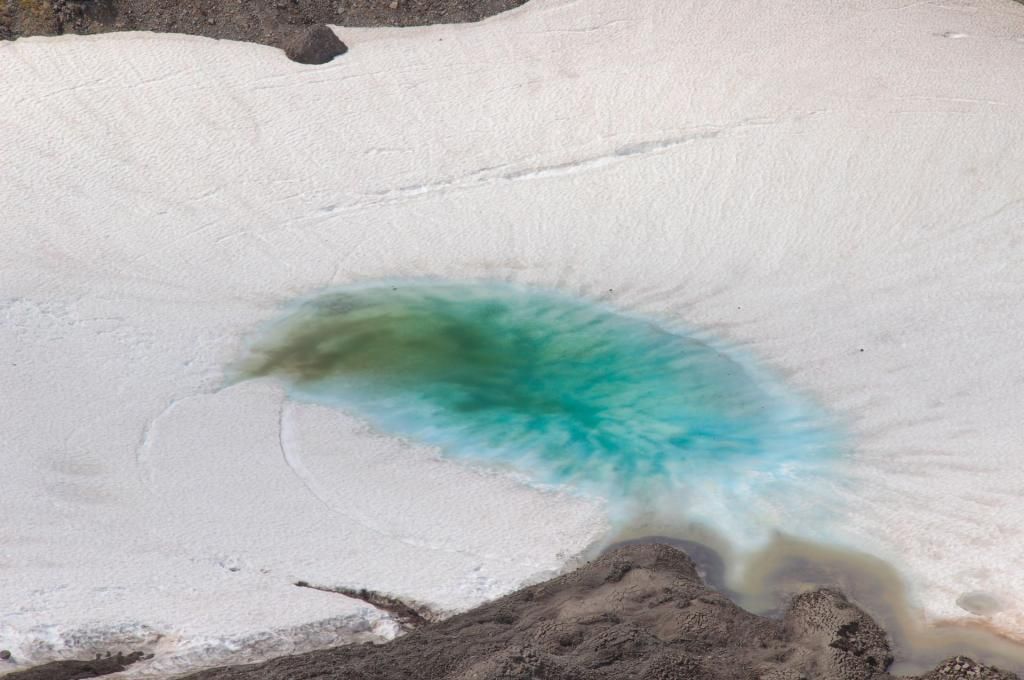
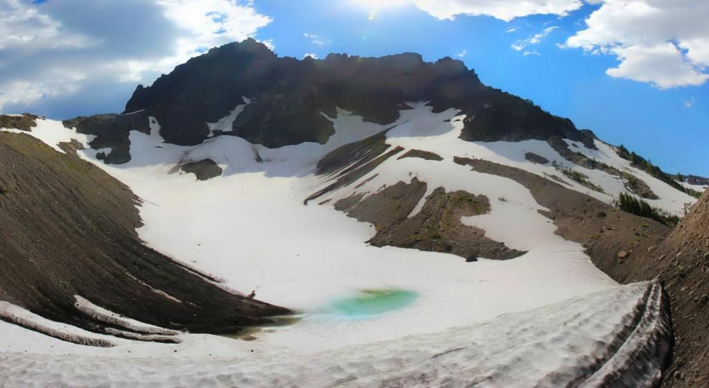
I could see a cairn at the top of the next saddle beckoning me forward to I left my pack where I was and headed up the ridgeline. The view from the top was worth the effort.
Mt Jefferson, to the North.
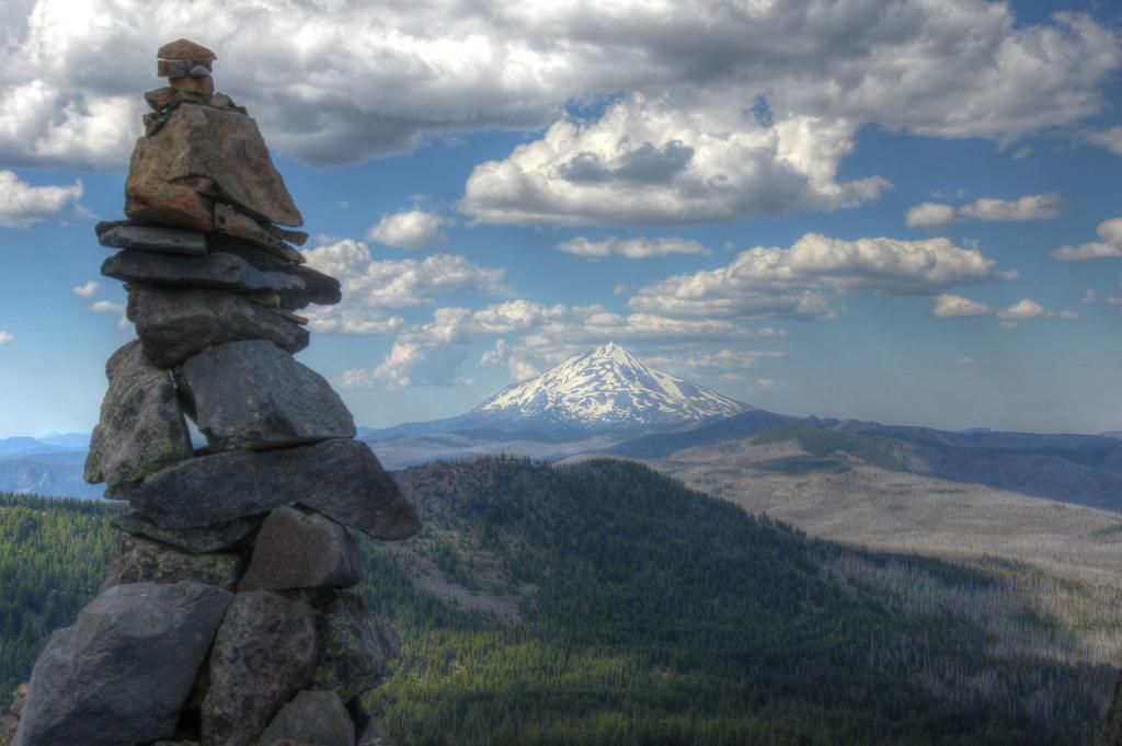
There is flat area large enough for a tent right next the the cairn.
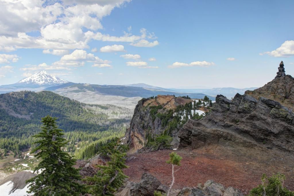
Looking East.
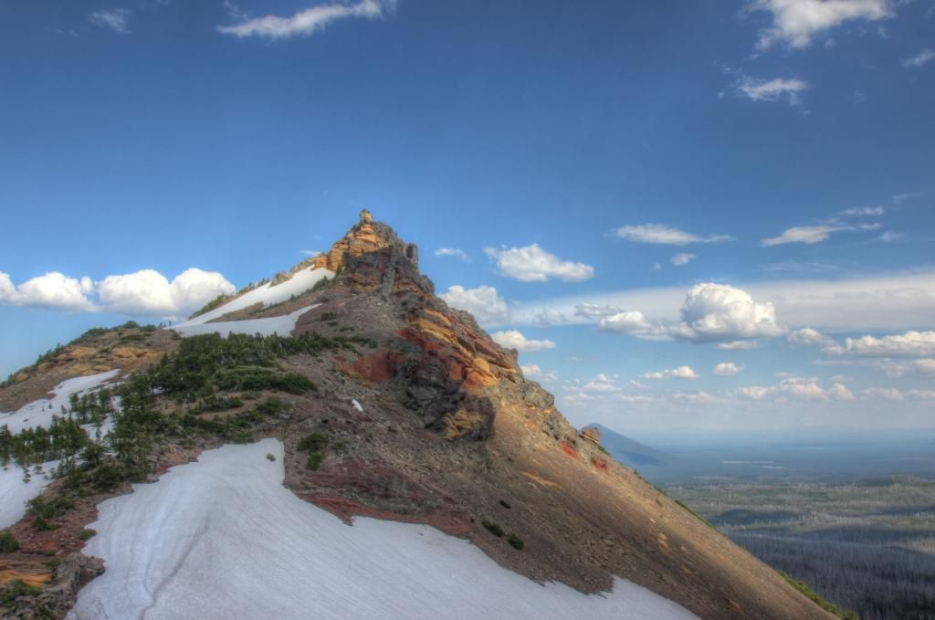
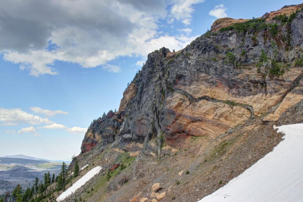
Looking down at Canyon Creek Meadows.
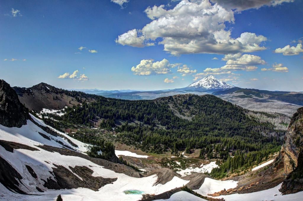
I got my first mosquito bite of the day while I was taking pictures up here. I was expecting to have much more trouble with them.
To the south there is a view of Broken top, North & Middle Sister and Mt Washington.
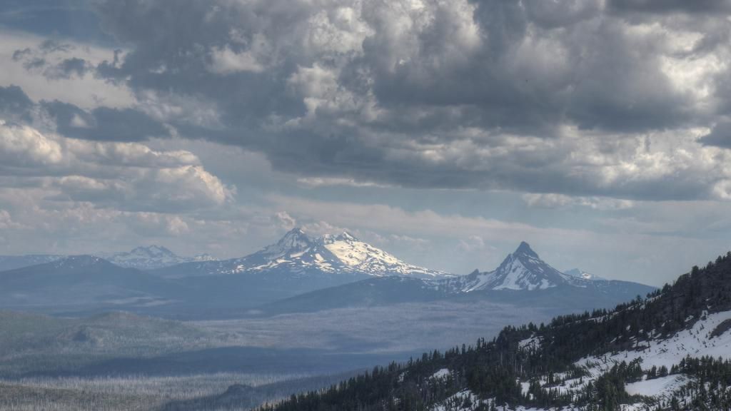
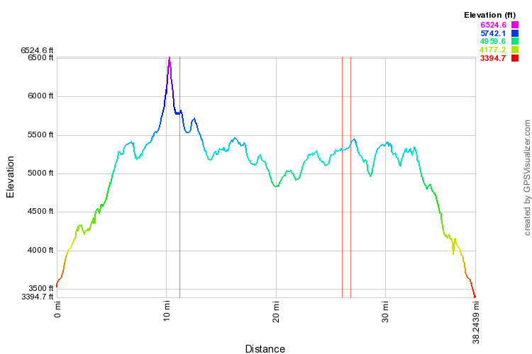
This is where the "shortcut?" track that I mentioned at the beginning comes in. From the viewpoint, it looks the the slope down the South side wouldn't be too hard and it is only about 1.5 miles to connect to the trail a little way North of Booth Lake. Taking this shortcut would let you skip about 6-7 miles and all you miss is Jack Lake.
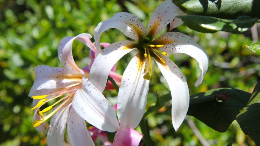
On the way down I paused and took and couple of flower pictures.
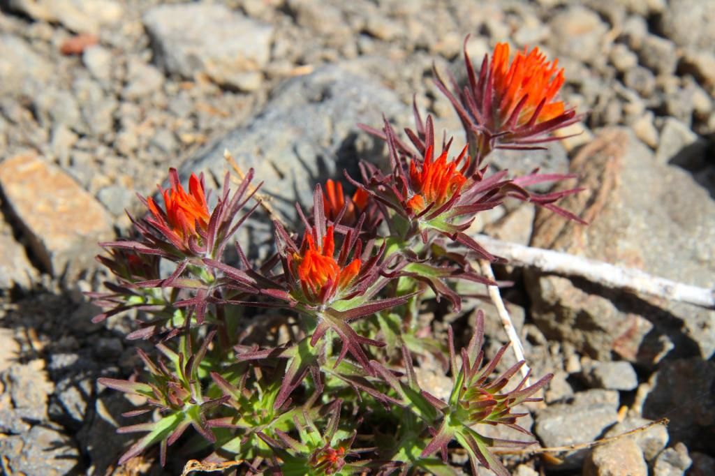
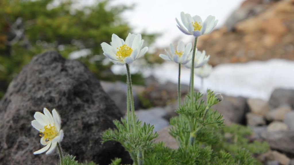
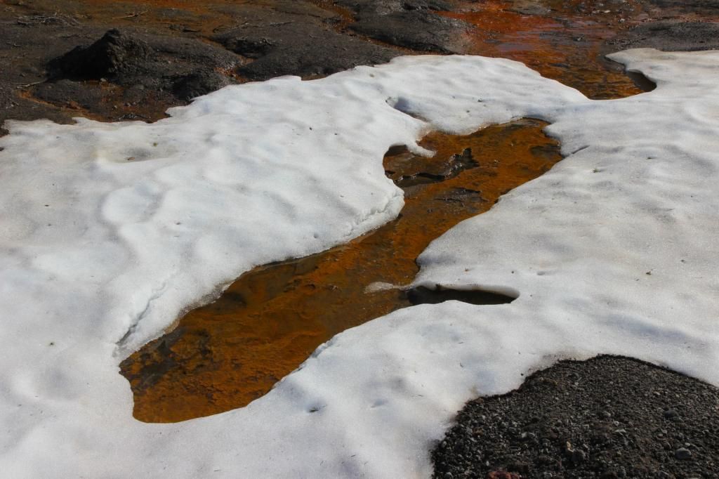
There are pools of red 'something' in the flats of the meadow. I'm not sure if this is mineral or microbial but I'll be filtering my water.
A few guys walking up the first ridge.
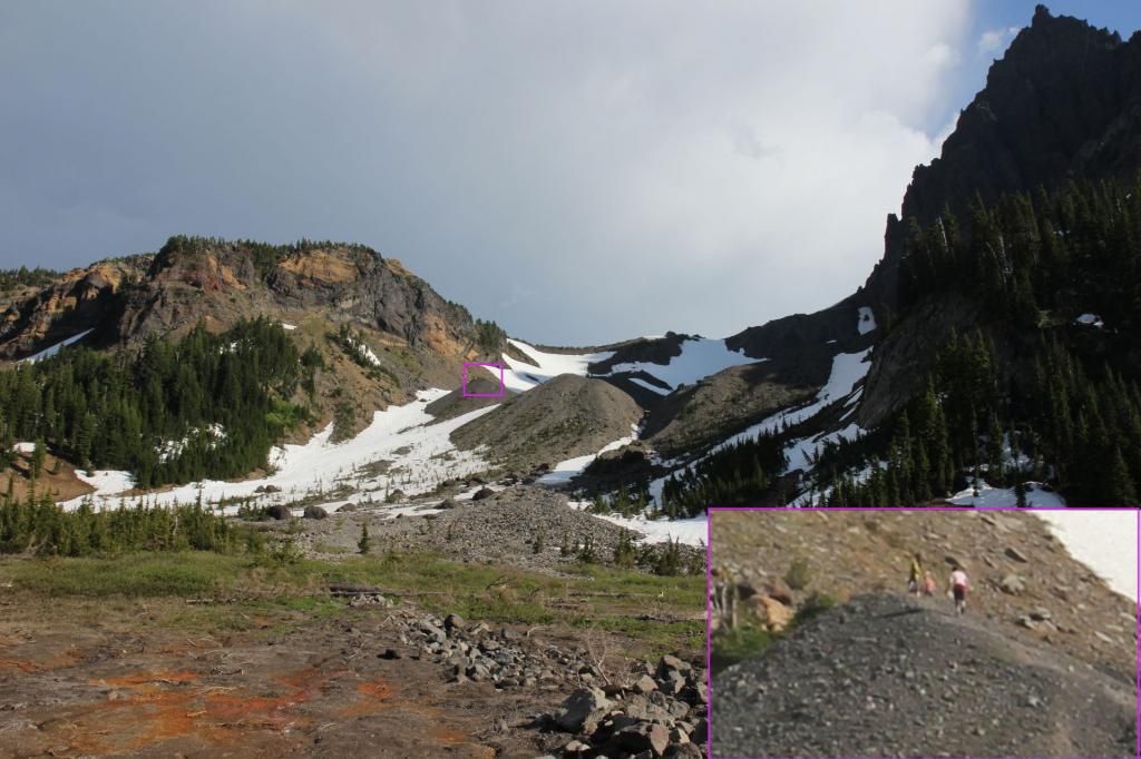
There were at least three other groups camped in the area. I picked a campsite in the meadow since everyone else was out in the trees and I like to be alone. The sound from the creek made it so I couldn't hear anyone and I couldn't see anyone else's site from mine.
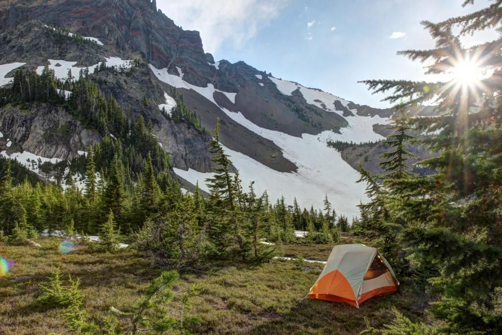
Sunset shining on the rocks.
Crest sunset silhouette.
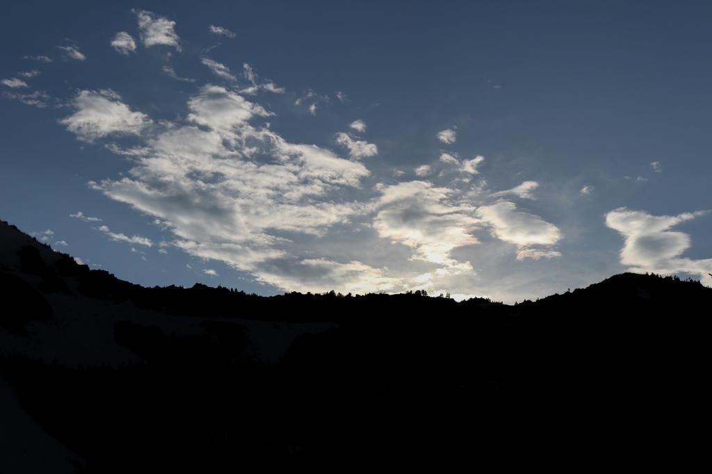
That night was the full moon which made for some nice pictures of the silhouetted treeline during the moonrise.
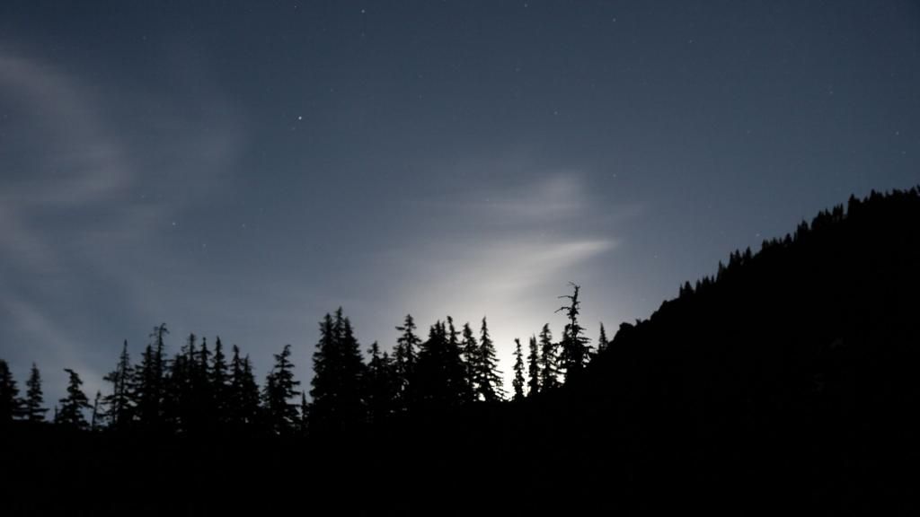
I think this one makes a nice desktop background.
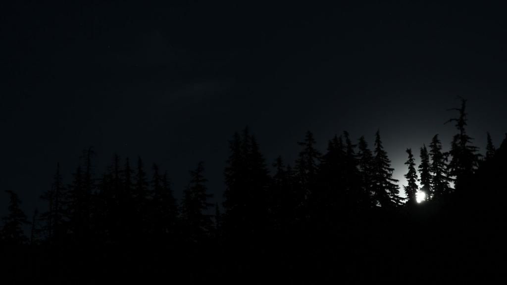
Long exposure so the Moon looks like the Sun.
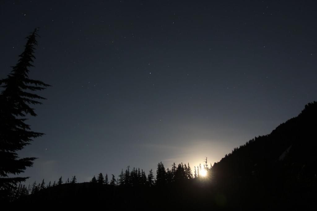
Three Fingered Jack lit by the Moon.
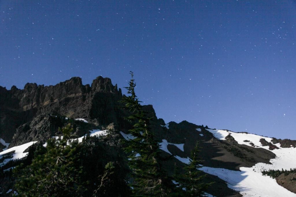
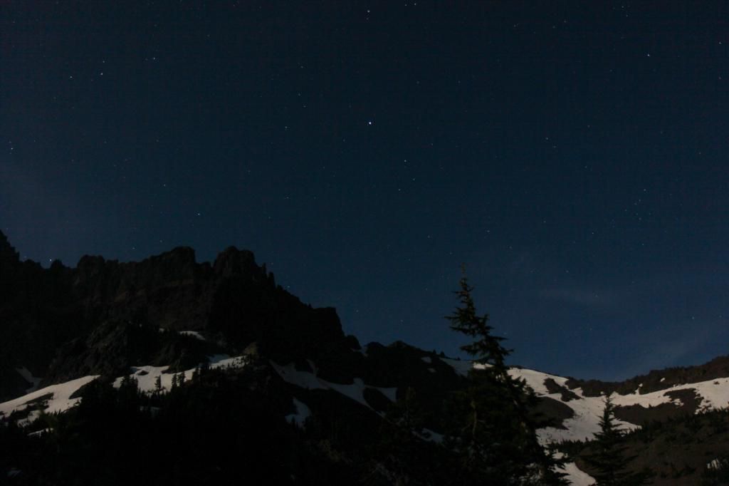
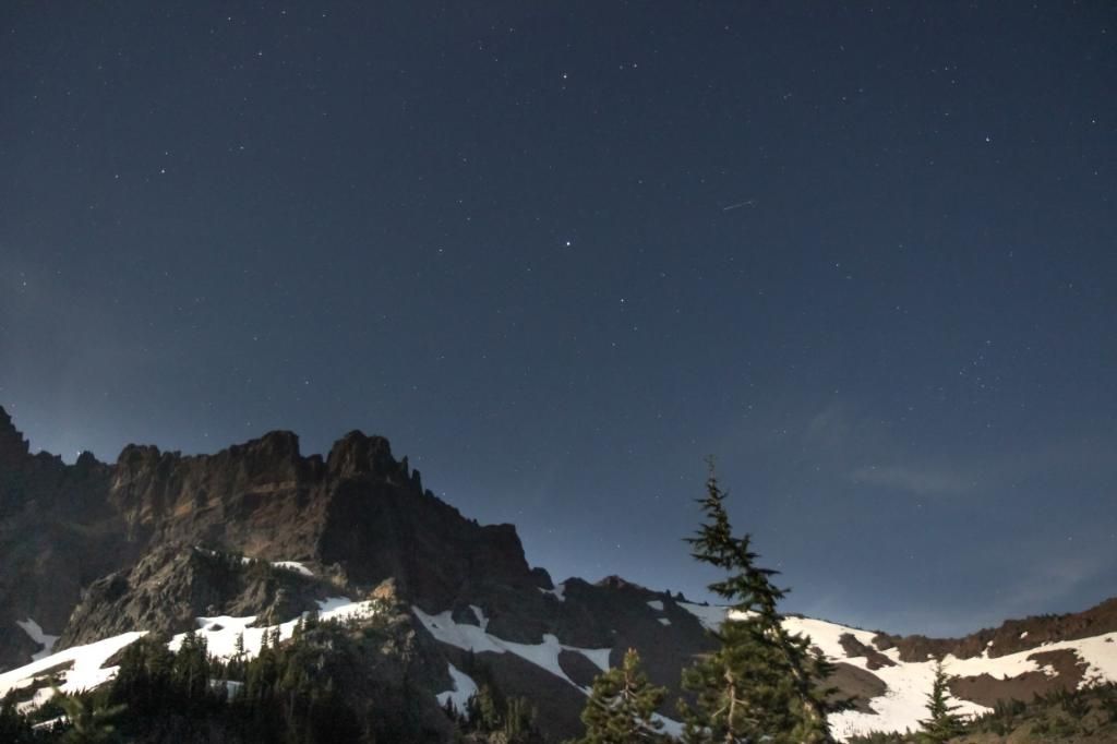
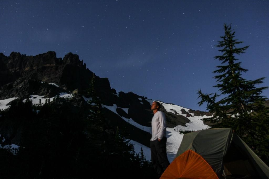
Moonlight selfie, it's hard to hold your face still for 30 seconds.
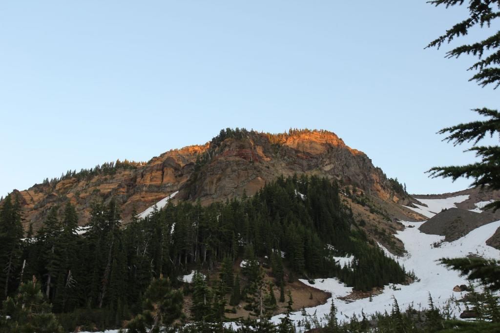
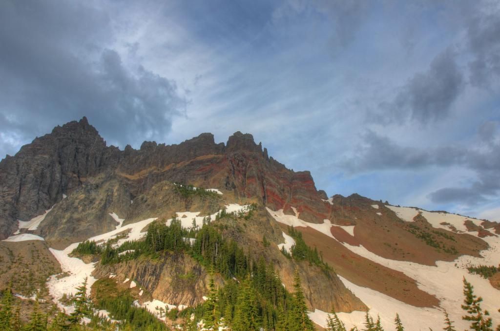
Sunrise shining on the mountain side in the morning.
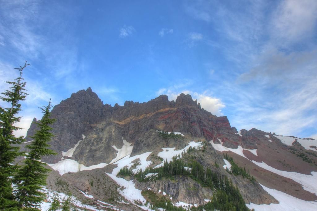
In the morning i debated whether I should go back up to the saddle and take the shortcut route or if I should take the trail past Jack Lake. Since I had never been to Jack Lake I decided to go the long way. Here is Jack Lake.
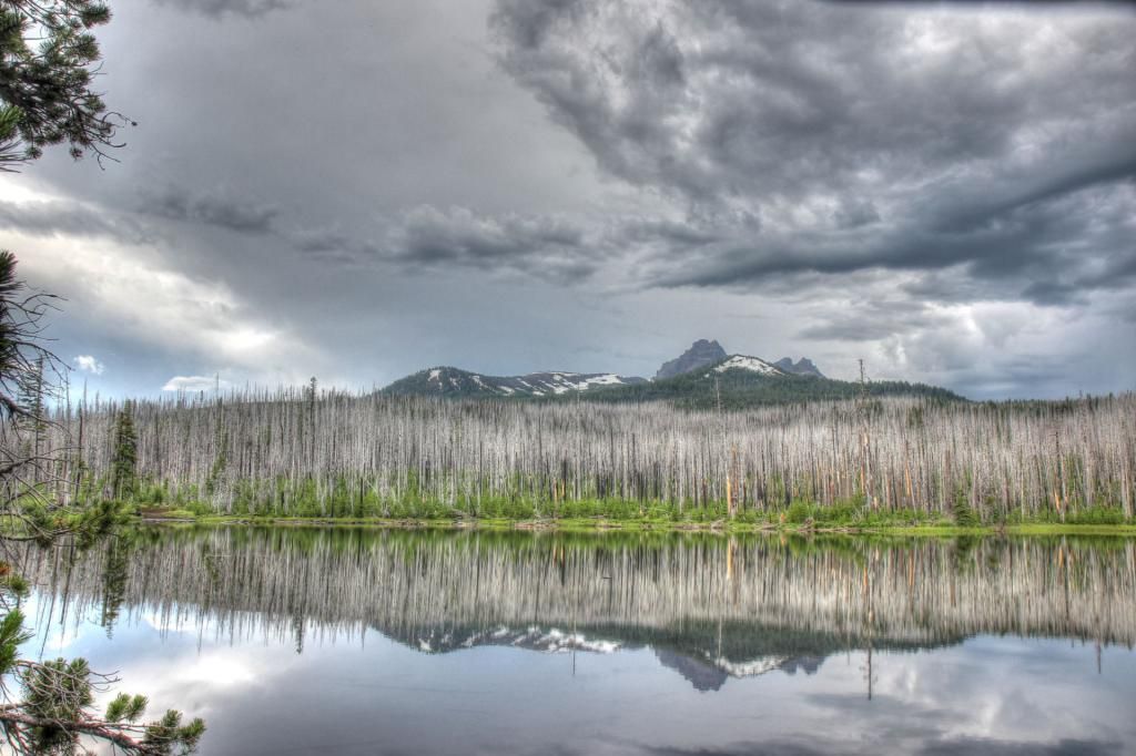
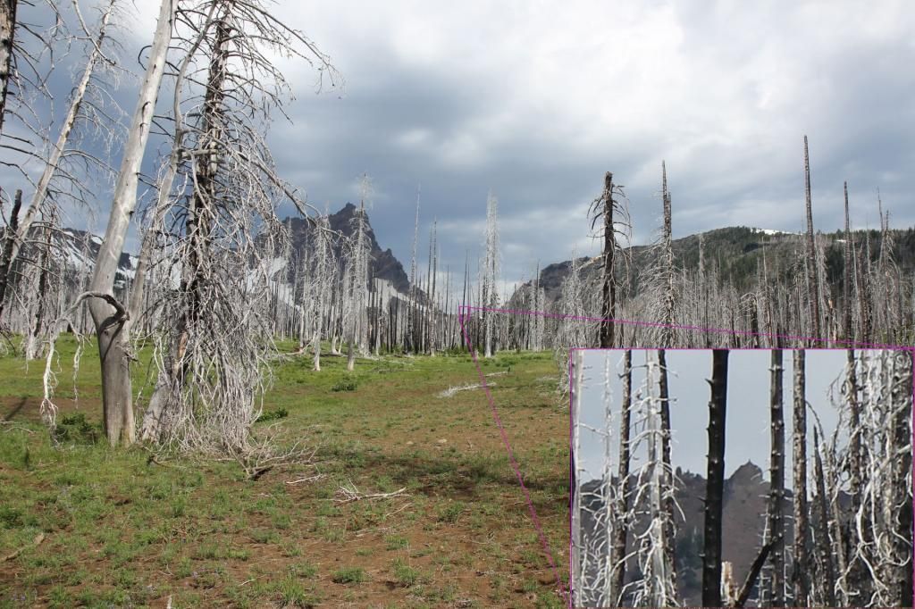
I think I made the wrong choice, nothing much along that section of trail was worth the extra miles. As I was approaching Booth Lake I crossed a creek and noticed that from where I was I could see the cairn I had walked up to the day before.
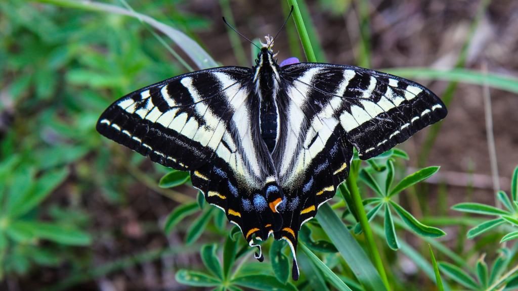
Took a snack break and a swallow tail landed nearby.
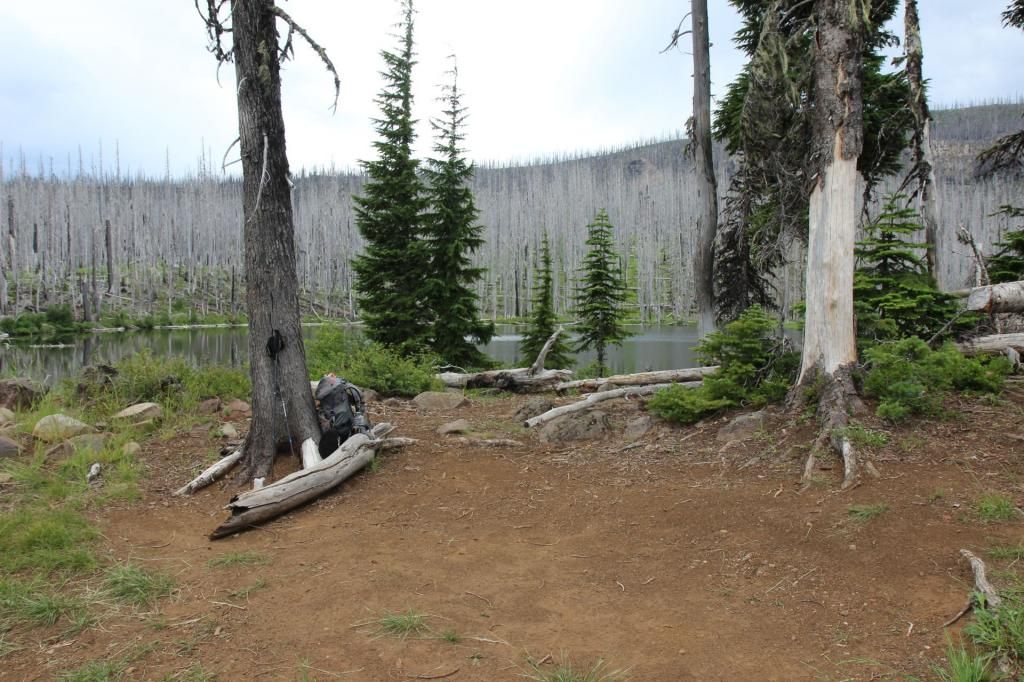
Booth Lake has a nice campsite.
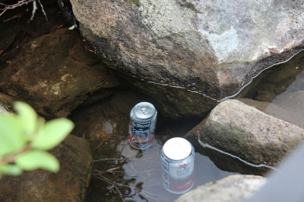
A couple cans of beer were staying cool in the shallows. If someone cached these, I'm sorry, they looked like trash to me so I dumped them out and put the cans in my garbage sack.
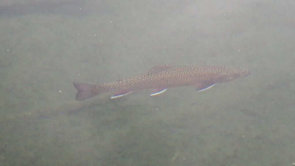
Booth Lake seemed to have a lot of fish. They were jumping regularly and I saw them swimming near the shore. Most were 6ish inches long but there were at least two that were about 12", some of the largest i've seen in these small lakes.
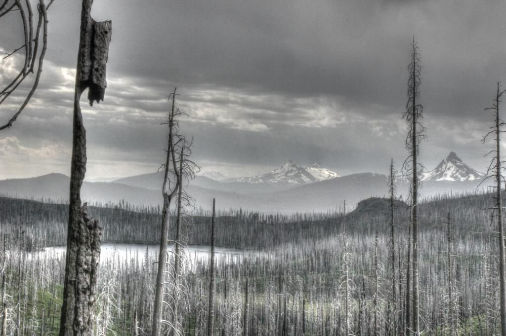
The day was pretty gray and drizzly by the time I made it to Square Lake.
Some lily pads(?) in a small pond after I started North on the PCT.
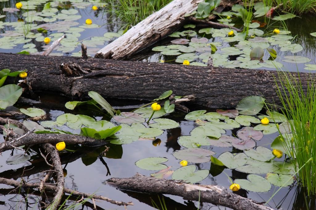
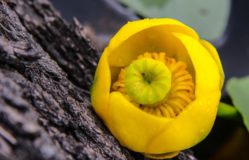
Shortly, I left the PCT and headed down the Santiam Lake Trail. About here the mosquitoes started getting pretty annoying. I decided to spend the night at Lower Berley Lake. It is much bigger than this picture makes it look.
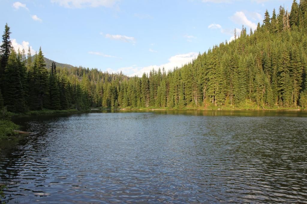
I saw four established campsites at this lake and I only explored around the Eastern tip.
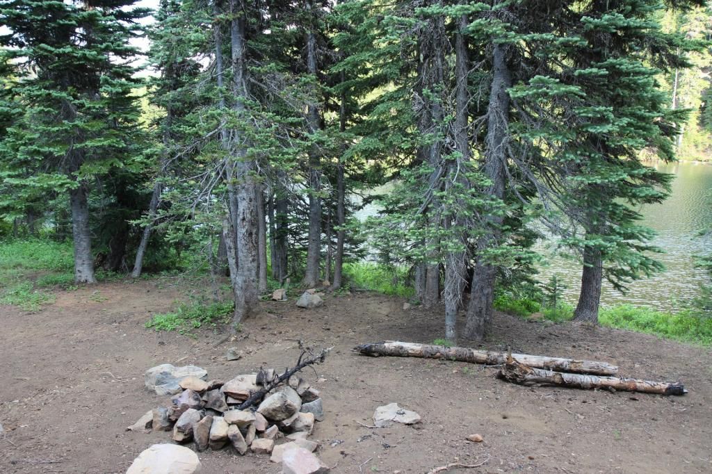
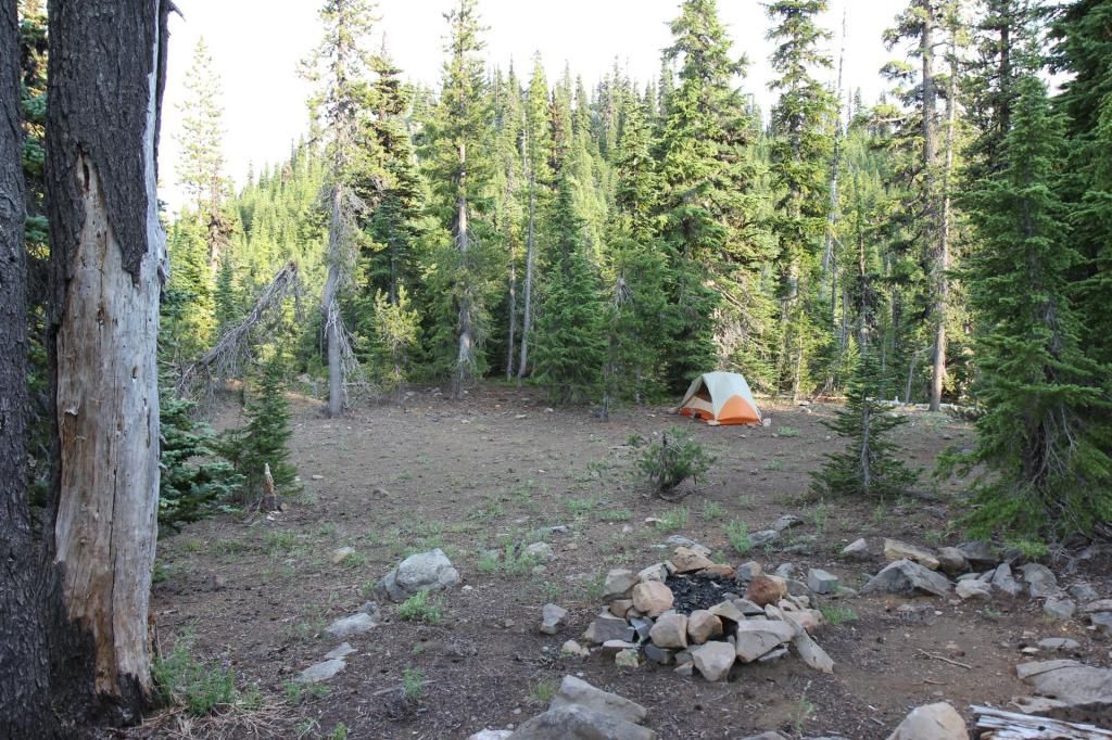
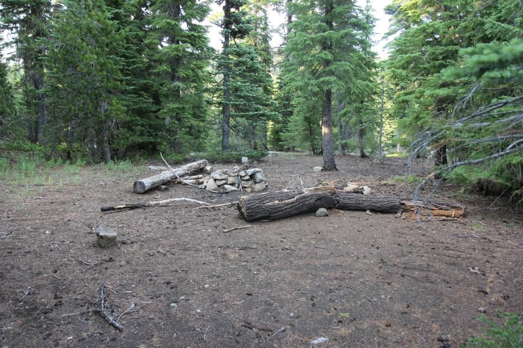
I left in the morning a little before sunrise, suffering the onslaught of mosquitoes while I packed up. Then I remembered that I had packed the head net. After putting that on it wasn't bad at all.
Sunrise Monday morning.
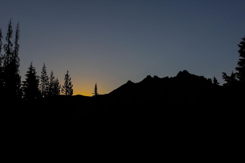
Meadow along the trail.
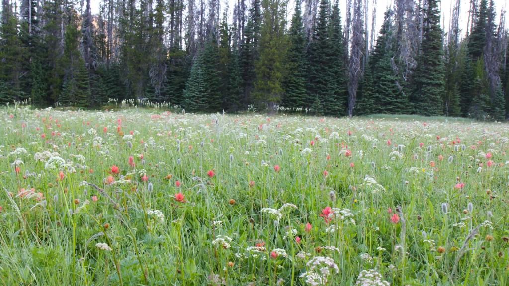
Blue lake had a very nice campsite with easy access for swimming. The water is deep and clear right next to shore so you can get in without worrying about finding a fish hook with your foot. The mosquitoes hadn't bothered me since Jorn Lake which made this and excellent place to rest in the shade for a bit and enjoy the scenery.
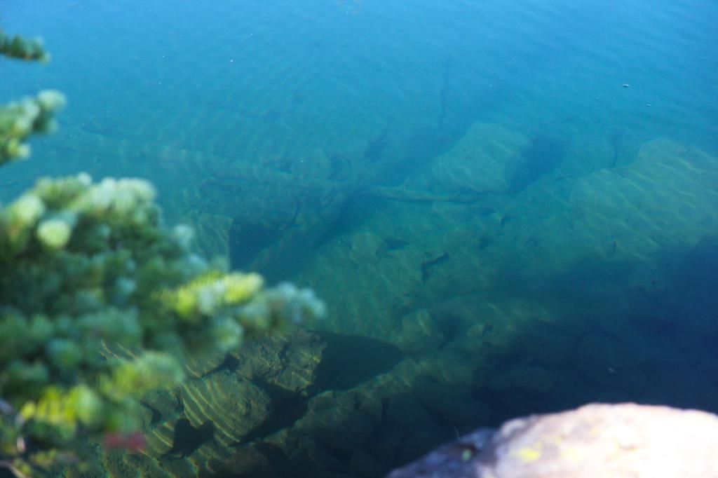
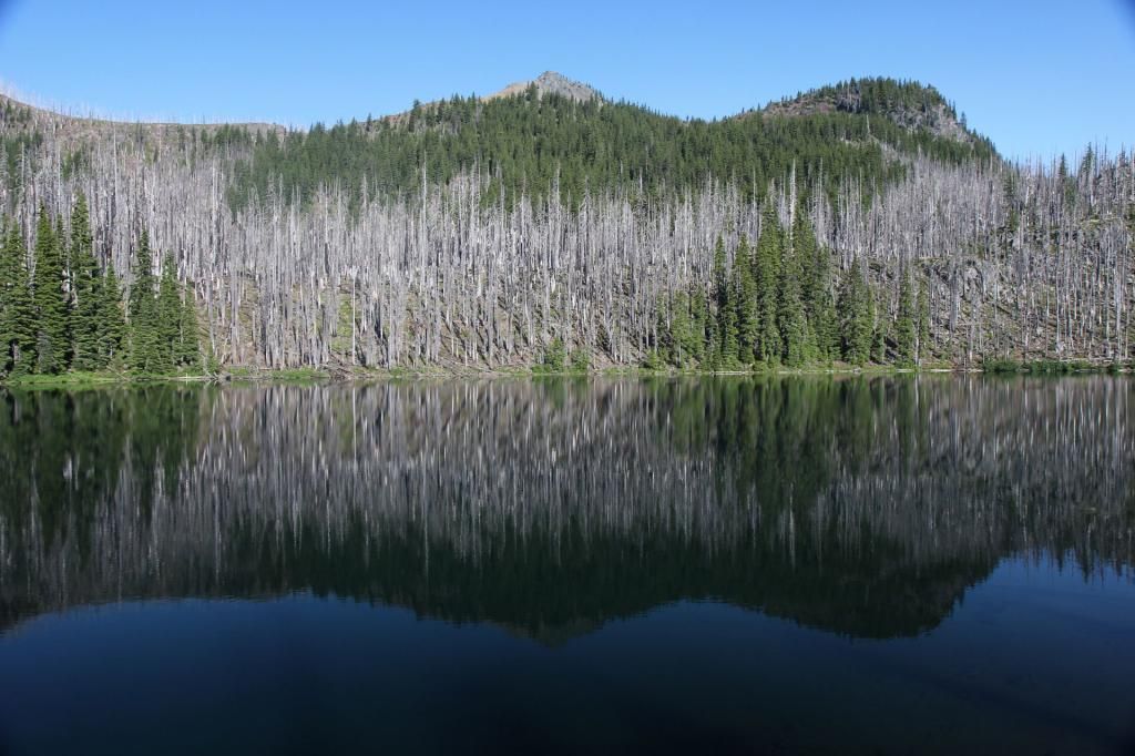
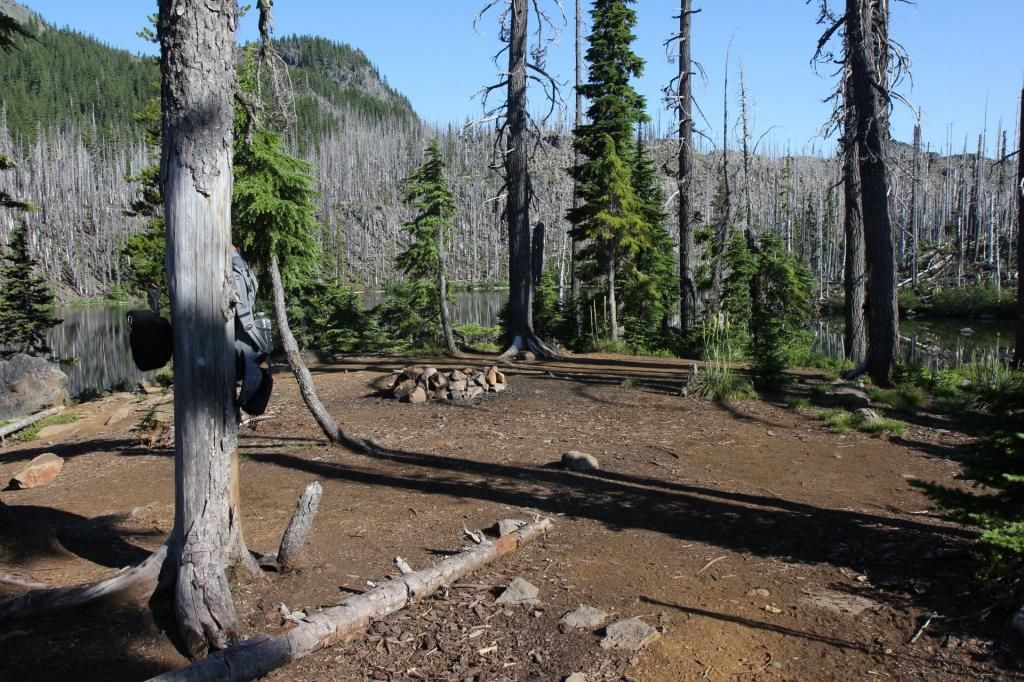
When I crested the last high ridge of the loop (near Marion Peak) this is the view that greeted me.
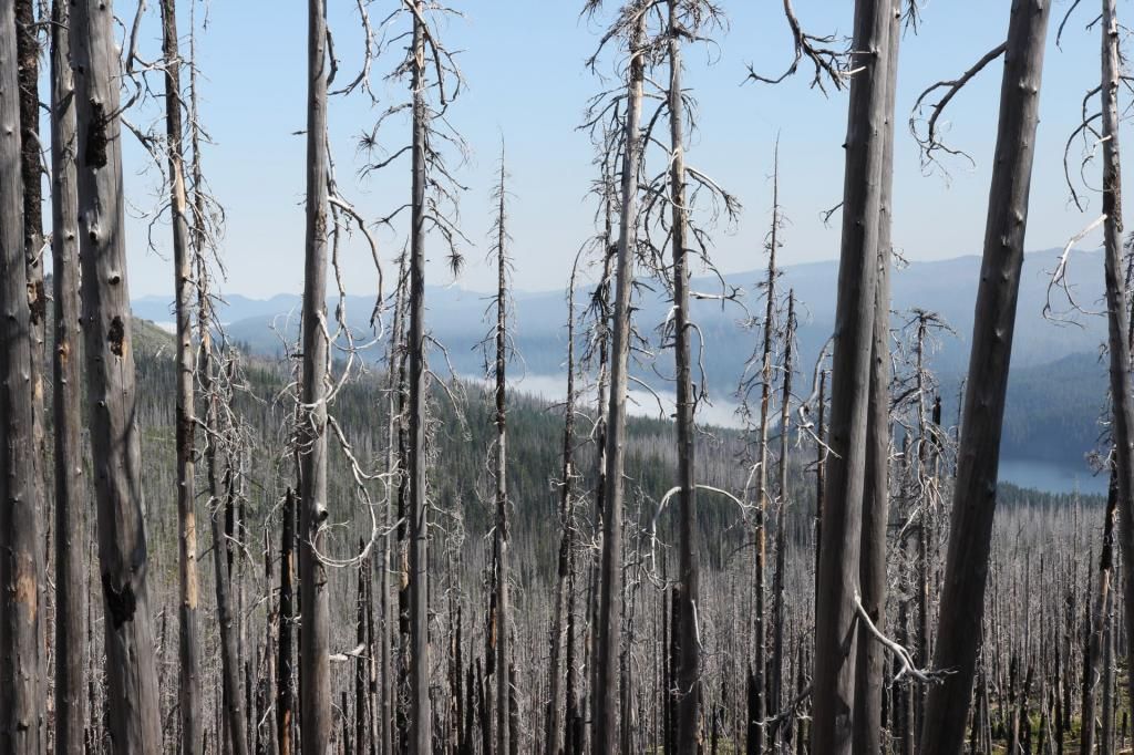
Yep, that's smoke. Collecting on top of Jenny Lake, I think. I continued on, hoping that I wouldn't have to turn around and go all the way back to Santiam Pass to catch a ride. Every now and then the wind from the North smelled faintly of smoke. I prepared myself for a long walk back the way I came.
Near Marion Lake I met a work crew doing trial maintenance. They told me that lightening started a fire near Lake Ann on Saturday night but it only got to 4-6 acres and was already under control. They assured me that the trail to Marion trail head was accessible. I thanked them for their efforts and left them to their work.
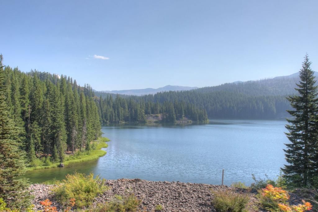
Back at Marion Lake.
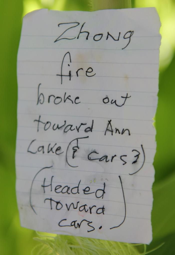
This note was pinned under a rock near Marion Lake. There was also a chalk message written on a rock near the day use area directing Nath and Haley to go to their car. I assume that everyone had to leave because of the fire.
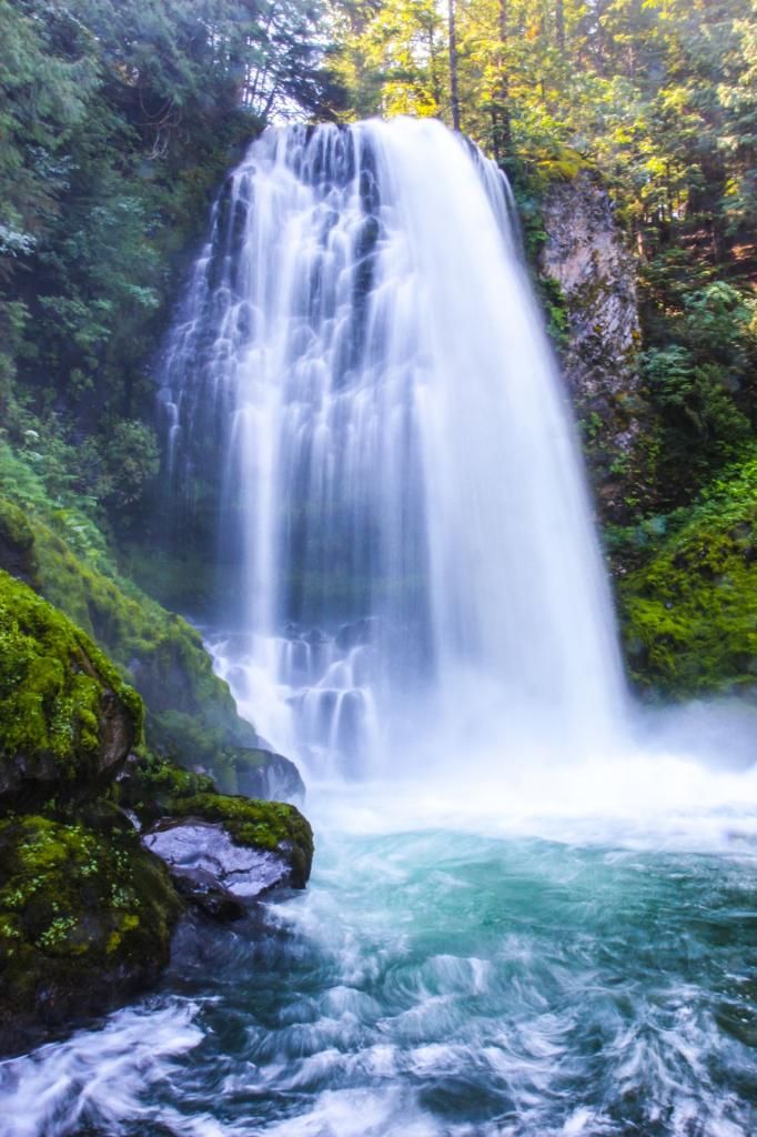
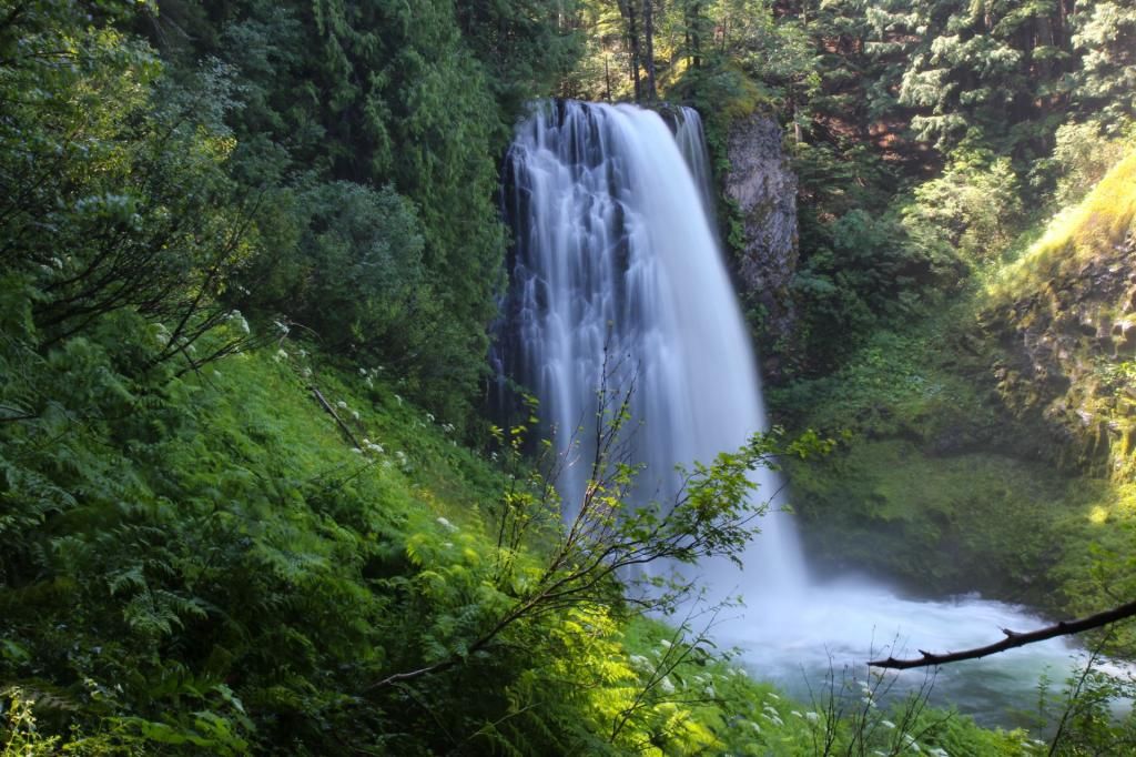
I took the side trail to Marion Falls. It's a quick walk but the trail down to the nice viewpoint is not very family friendly.
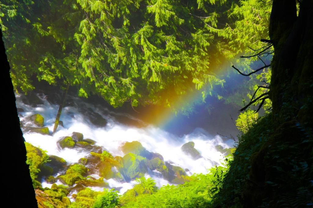
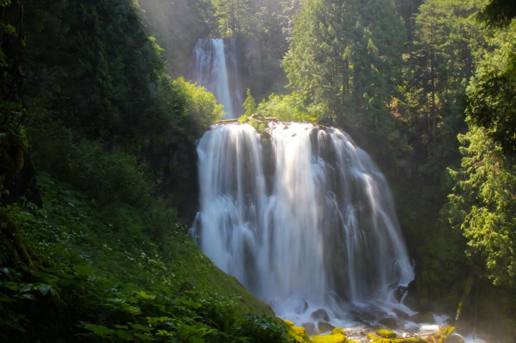
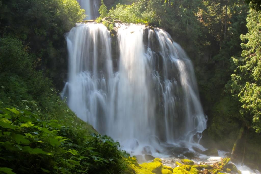
This one got me and my camera soaked.
