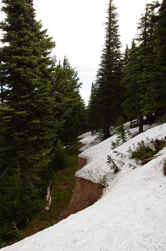
where I was met by the resident chipmunk - probably waiting for tourist season, with its bounty of snack foods, to finally arrive.
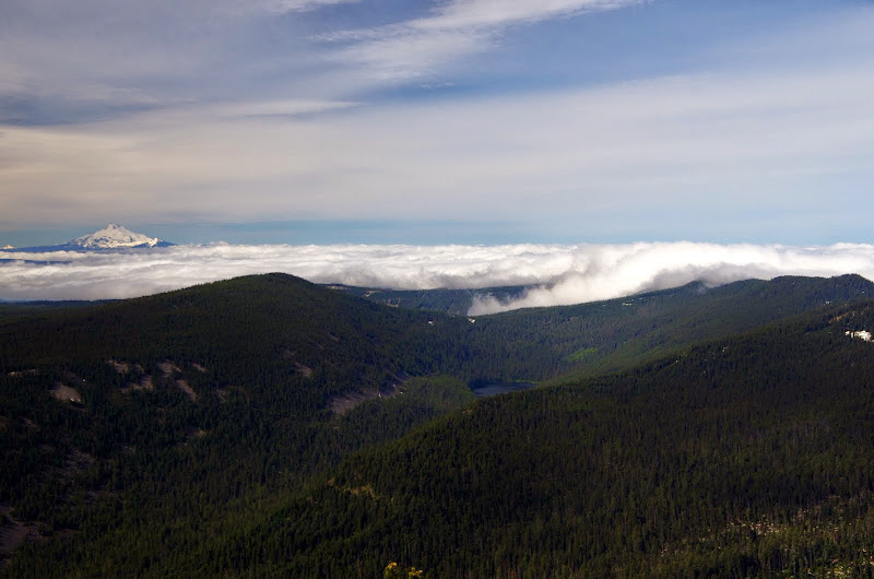
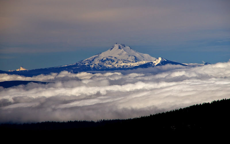
After working my way around this furry (and unsnacked) sentinel, I got to the summit for a view of Jefferson, Olallie Butte, Badger Lake, and the morning clouds trying to encroach from the W,
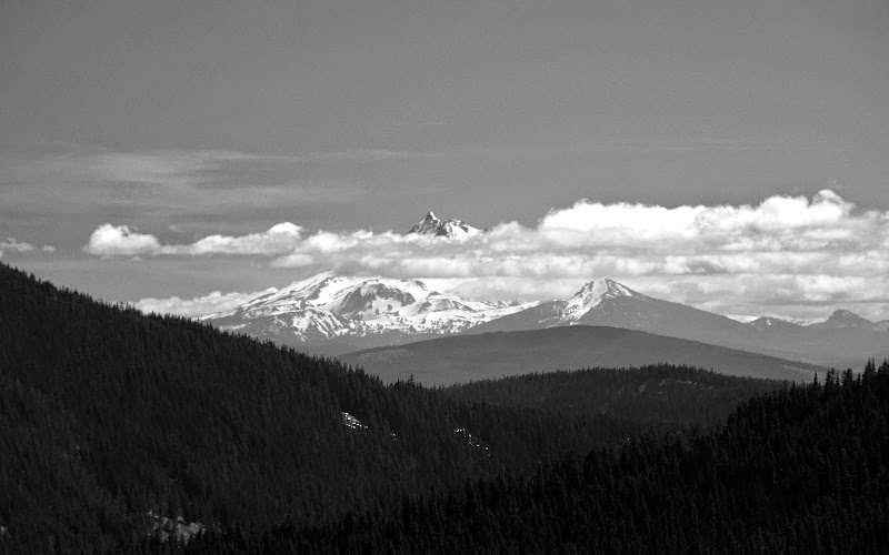
of the Sisters to the S,
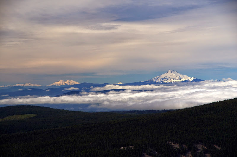
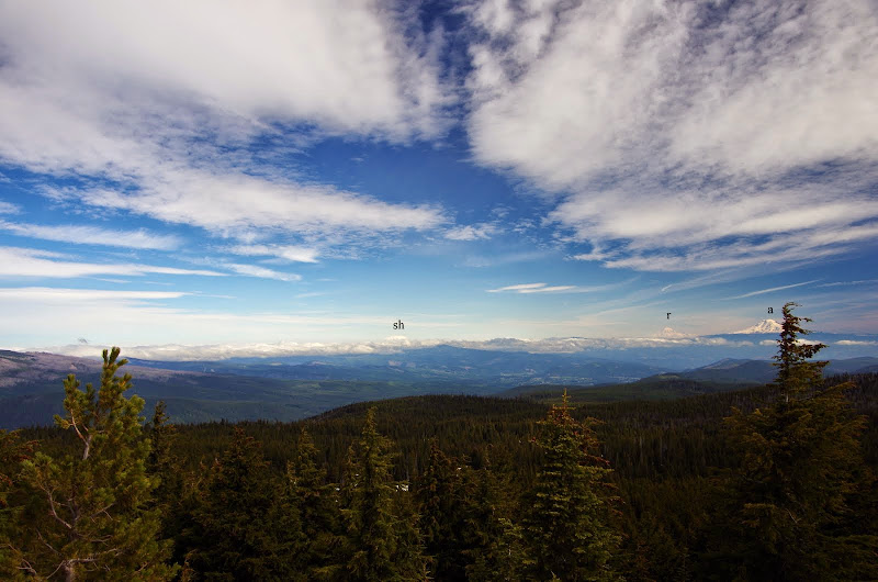
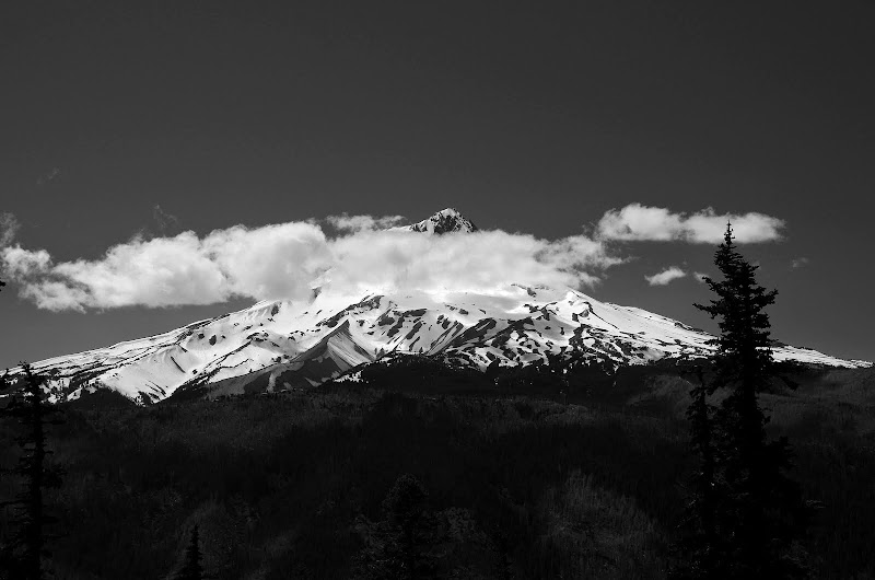
St. Helens (sh), Rainier (r), and Adams (a) to the N,
and Jefferson, Olallie, and Three Finger Jack floating on clouds.
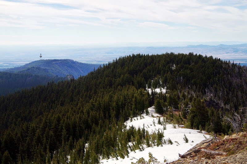
From the summit, I took the Divide Trail (#458) SE toward Flag Point (arrow),
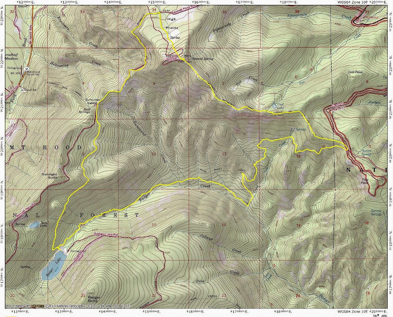
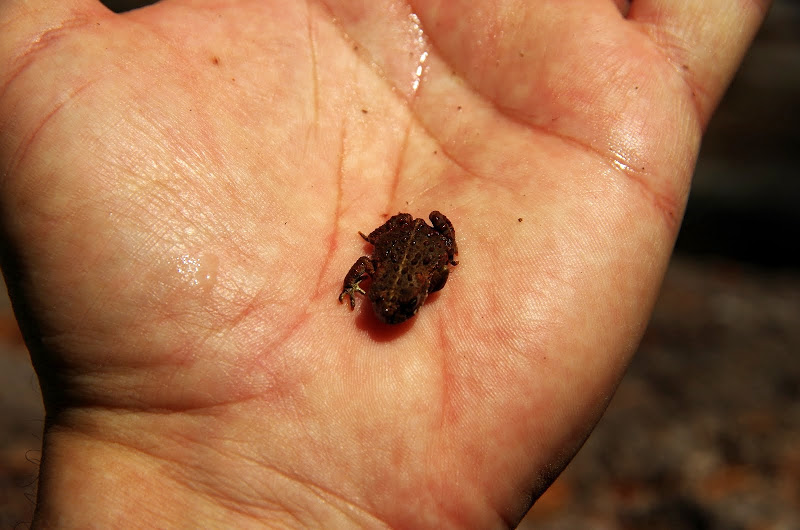
but used the Badger Cutoff Trail (#477) to drop down to Badger Creek and the Badger Creek Trail (#479). There was some blow down on all these trails - none showstoppers - but a little clearing would help (everything was too big for my little handsaw). Heading up the 479 toward the lake, I saw movement on the trail and quickly realized it was small toad time in the forest. Until I got well up on the Divide Trail, I had to be careful not to step on these little guys as they wobbled their way across the trail.
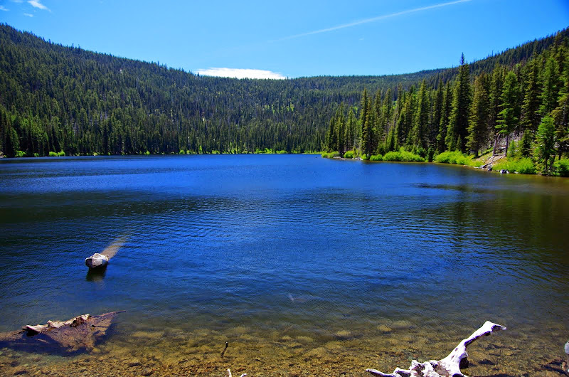
Badger Lake, although not natural, looks just like what you'd want a mountain lake to look like - blue, cool, and inviting.
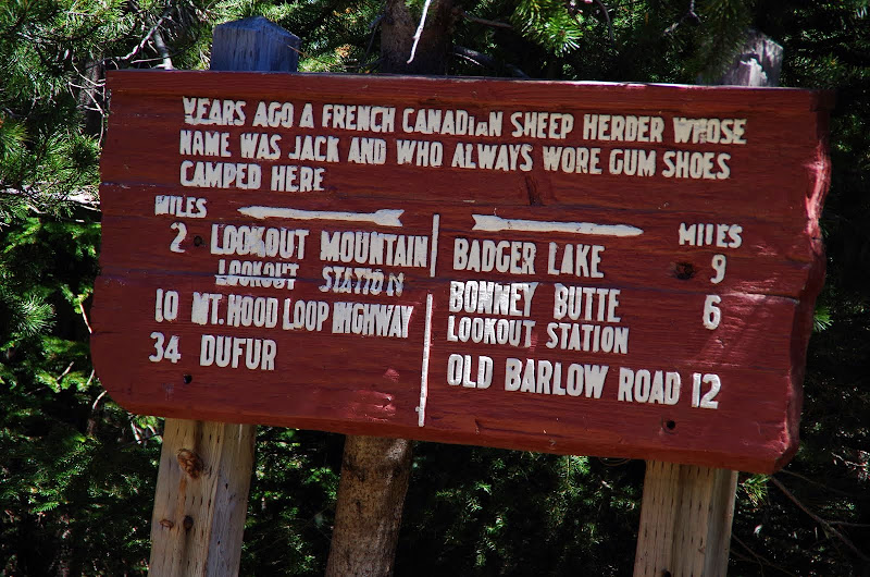
From the lake, the Divide Trail climbs pretty gradually past Gunsight Butte to Gumjuwac Saddle and the famous Barlow Road sign.
To make a true loop of this hike, I opted to take the Bennett Road back to the TH. It's a somewhat tedious road but the saving grace is the view it gives you of Hood,
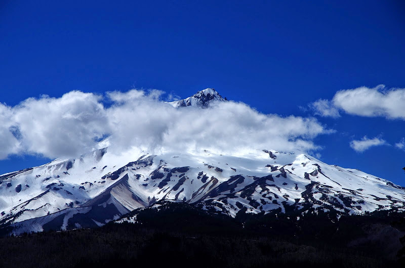
and of Jefferson.
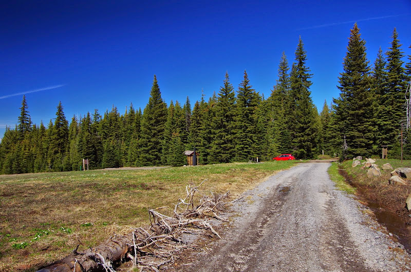
And thus, back to the TH. I'm pretty sure this is not what the High Prairie TH looks like on a warm, snow-free weekend day! No other hikers and only one other car (at the lake) all day. No need to exercise my poor social skills!
Excellent loop - 15 mi, 3,500' [no toads were harmed (hopefully) in the making of this hike].