Niagara Falls - Cape Kiwanda 4/20

This forum is used to share your experiences out on the trails.
User avatar
BrianEdwards
Posts: 2405
Joined: February 2nd, 2010, 1:32 am
Location: Oregon City, OR
Contact:

Niagara Falls - Cape Kiwanda 4/20

Post by BrianEdwards » April 21st, 2014, 11:04 am

Had a nice Easter Sunday with the wife and son. We took a slow crooked drive along Nestucca River Rd to Niagra Falls.

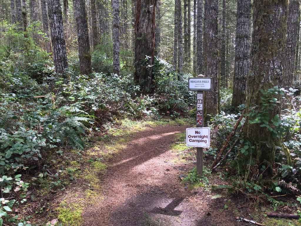
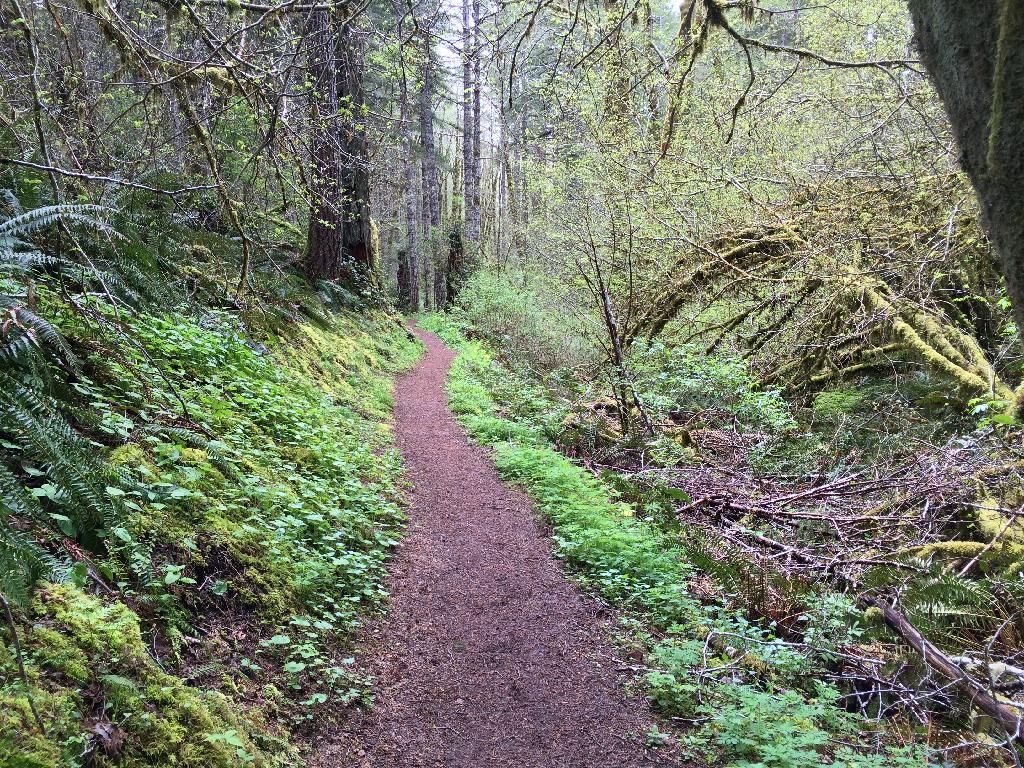
There was only one car at the trailhead when we arrived. Trail was in great shape.

Image

Trail

Image

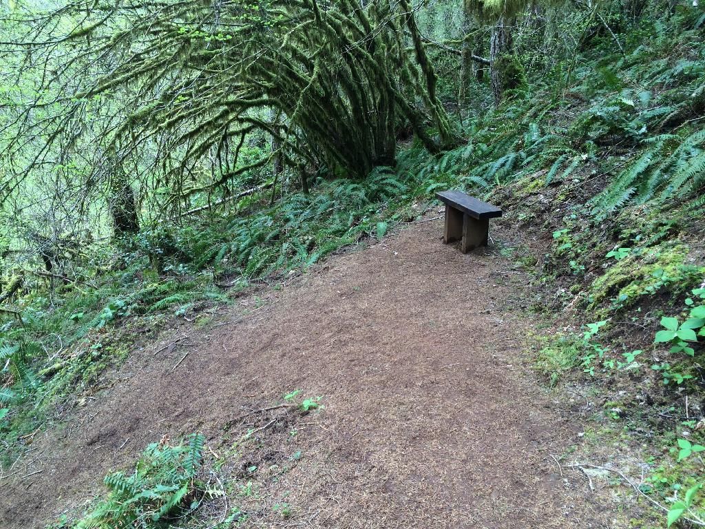
One of the many benches

Image

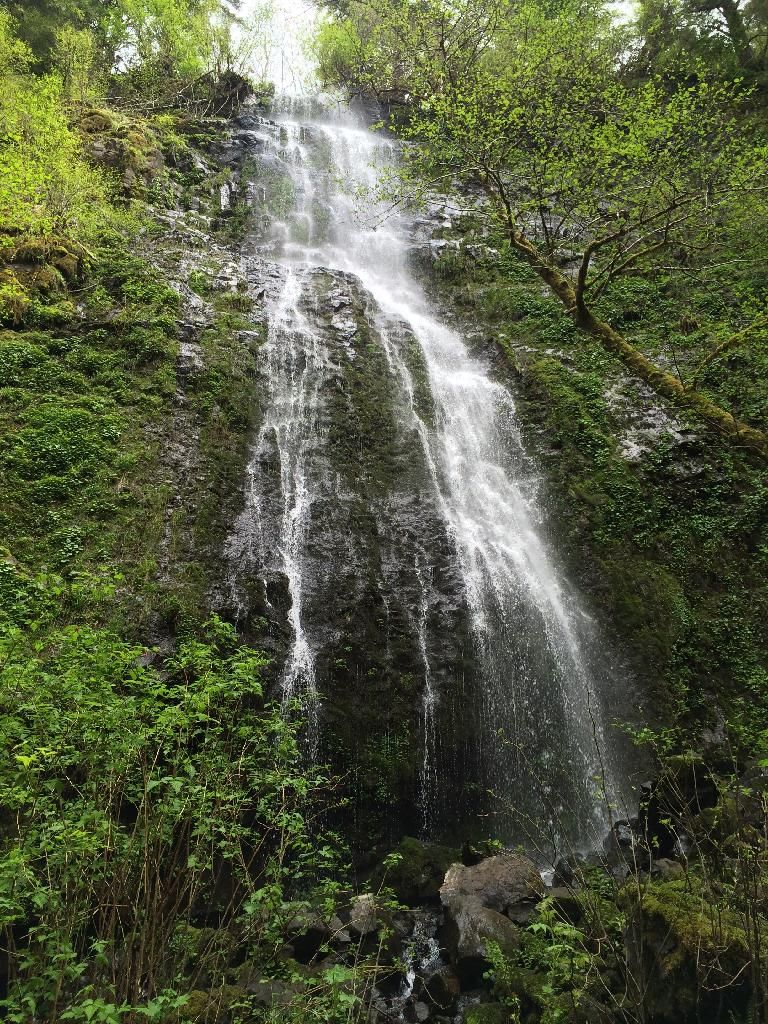
After only 0.8 miles we reached the first falls

Image

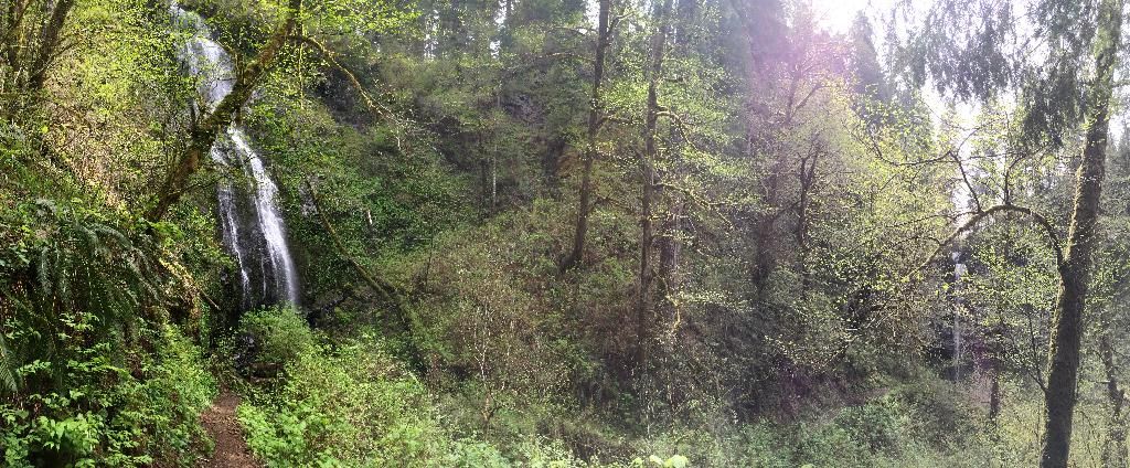
We could see Niagra just around the bend. Pano:

Image

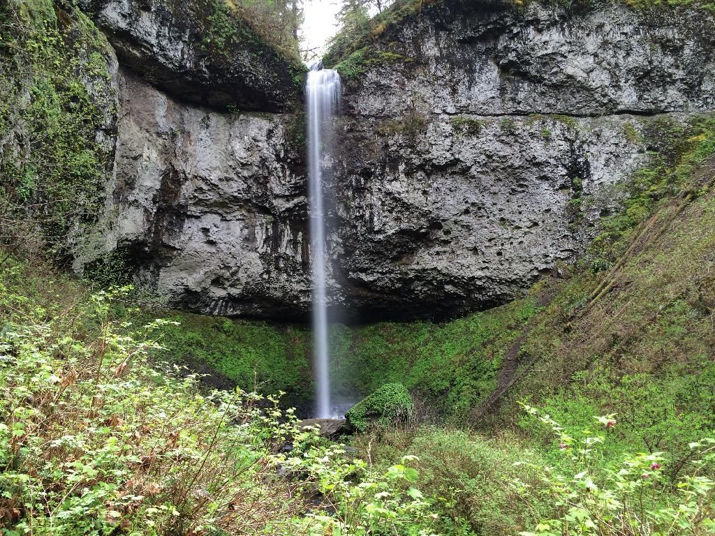
Then we went to Niagara. Nice waterfall with perfect flow and not a lot of leaves yet.

Image

Soon we headed back to the car, and then on to Pacific City to check out Cape Kiwanda.

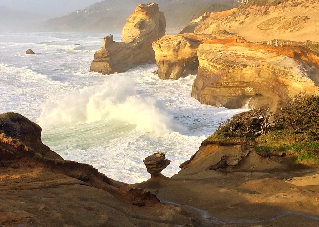
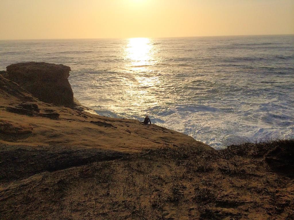
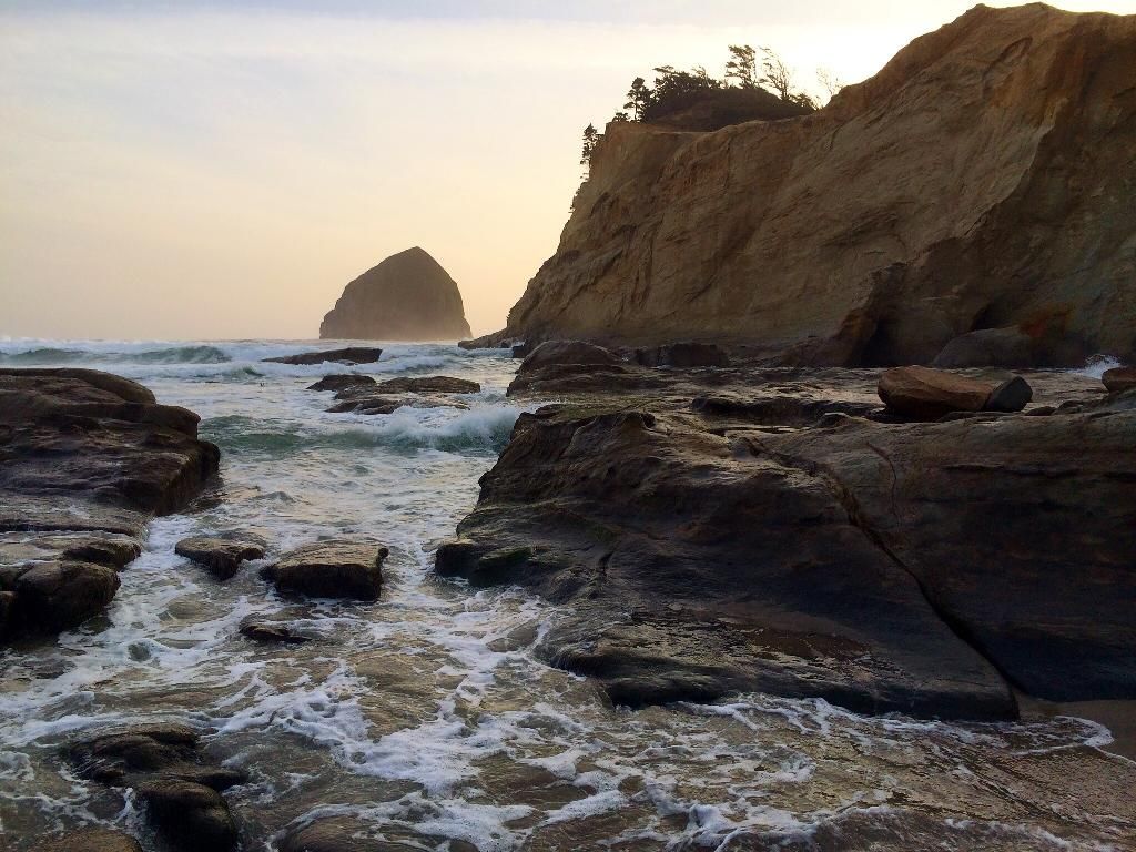
Cape Kiwanda was as nice as I heard it was. So many things to photograph.

Image

Or just sit and admire the beauty of nature

Image

Almost to sunset

Image

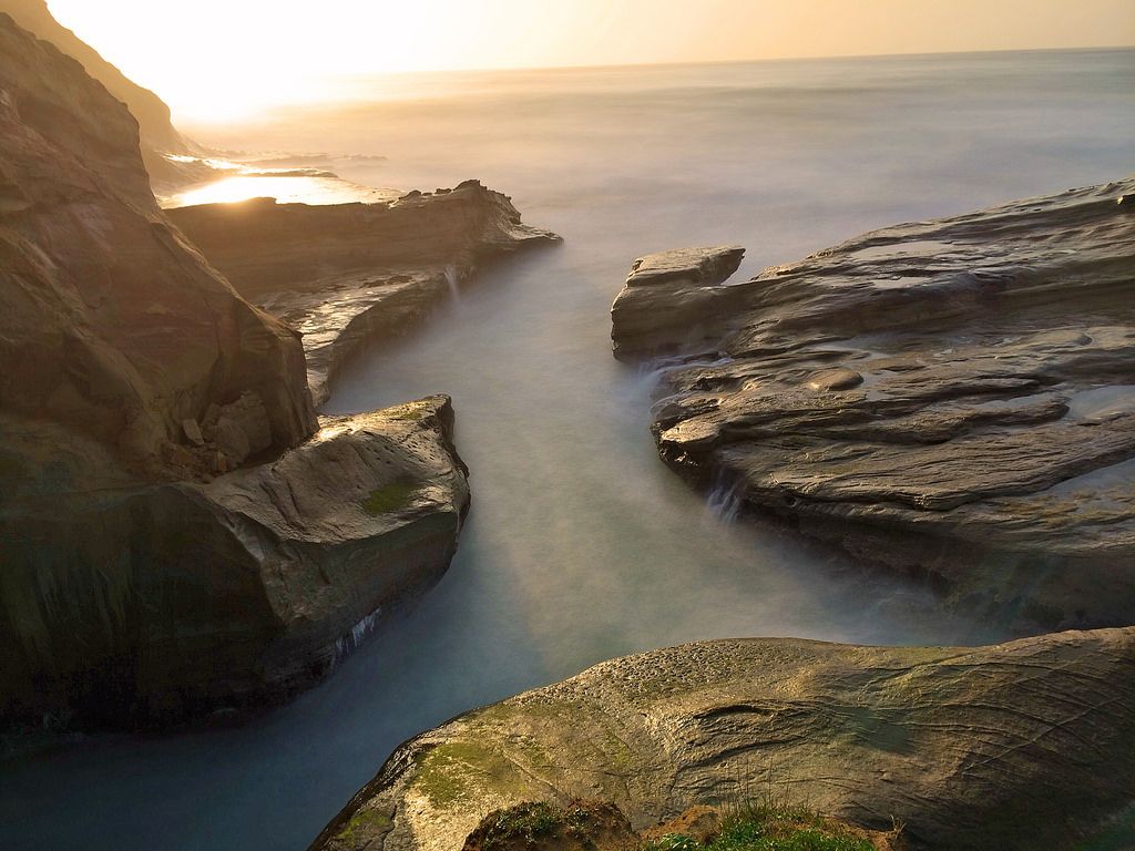
Sunset

Image

All in all a great day, thanks for looking.
Last edited by BrianEdwards on April 21st, 2014, 5:38 pm, edited 2 times in total.
Clackamas River Waterfall Project - 95 Documented, 18 to go.

pdxgene
Posts: 5073
Joined: May 28th, 2008, 10:03 pm

Re: Niagra Falls - Cape Kiwanda 4/20

Post by pdxgene » April 21st, 2014, 12:33 pm

I think one car at that trailhead is considered a crowd.. :P Though there are more signs up than there used to be. I don't suppose the potholes in the road have been magically filled? That is such a nice way to the coast and back if you want to avoid traffic..

User avatar
BrianEdwards
Posts: 2405
Joined: February 2nd, 2010, 1:32 am
Location: Oregon City, OR
Contact:

Re: Niagra Falls - Cape Kiwanda 4/20

Post by BrianEdwards » April 21st, 2014, 12:38 pm

Actually the road to the trailhead was almost perfect, maybe a couple potholes. I was surprised at how good it was, the gravel looked relatively fresh. When we got back up to the car, there were 8 vehicles including ours, I was like 'apparently we left at the right time.'

Regarding the nestucca way to the coast, it's a good way for a single driver, both my passengers were car sick by the time we reached Niagra. We averaged about 24 miles an hour, but it is such a windy road, unrelenting curvature.
Clackamas River Waterfall Project - 95 Documented, 18 to go.

forestkeeper
Posts: 1291
Joined: July 23rd, 2011, 8:31 pm
Location: Canby, Oregon
Contact:

Re: Niagara Falls - Cape Kiwanda 4/20

Post by forestkeeper » April 22nd, 2014, 12:53 am

:) Those are really nice photos, Brian. Especially like that last one. Great long exposures!

User avatar
sprengers4jc
Posts: 1036
Joined: October 22nd, 2013, 11:35 am
Location: Vancouver, WA

Re: Niagara Falls - Cape Kiwanda 4/20

Post by sprengers4jc » April 22nd, 2014, 10:38 am

Great photos of Cape Kiwanda and of a waterfall that we didn't even know existed! But I can't say I will ever visit it, and let me share why :D.

Before we moved here from NC seven years ago, I flew out in July for some job interviews in Tillamook and had one in Newberg as well. So I unintentionally ended up on that road once when Google Maps routed me from Tillamook to Newberg via Blaine Road, NF85 and Nestucca Access Road (although I think it had a different name at the time). I remember feeling a vague sense of unease when my tires hit gravel road from the pavement and then I saw a group of people camping who can be best described as straight out of a scene from Deliverance or Wrong Turn. I asked if the direction I was headed truly would take me to Newberg and they assured me it would (as they always do, in any good horror movie). Off I went in the Subaru I had rented (thank God!) and the road climbed higher and higher and it seemed to be some sort of logging road. I was tempted to turn around but decided to trust Google Maps and the folks who said it would take me there (James Kim tragedy, anyone?). It was beautiful but a pretty remote area and I was thankful again when my tires hit pavement once more.

So, needless to say, I don't know that I would ever do that drive again :D.
'We travel not to escape life but for life to not escape us.'
-Unknown

User avatar
BrianEdwards
Posts: 2405
Joined: February 2nd, 2010, 1:32 am
Location: Oregon City, OR
Contact:

Re: Niagara Falls - Cape Kiwanda 4/20

Post by BrianEdwards » April 22nd, 2014, 10:47 am

Thanks guys and gals

@ Sprengers: That road is definitely wild. I'll probably only do it this one time. But getting to the waterfall from the west is actually really easy off Hwy 101. It's far enough west to avoid most of the the Nestucca. The long crooked section is between the waterfall and Carlton.
Clackamas River Waterfall Project - 95 Documented, 18 to go.

User avatar
Rustygoat
Posts: 507
Joined: August 27th, 2012, 2:28 pm
Location: SE Portland

Re: Niagara Falls - Cape Kiwanda 4/20

Post by Rustygoat » April 22nd, 2014, 8:25 pm

Nice pictures Brian! Nice that you got to get the family out for an adventure. :) On the Niagara Falls Trail.... NW Waterfall Survey has the first waterfall tagged as Niagara Falls because it is close to Niagara Point. The other more scenic waterfall is called Pheasant Creek Falls. Sorry for sounding like a waterfall geek. :lol:
Tim

Chasing waterfalls can be addictive.
NW Off-trail Waterfalls -Facebook Group

User avatar
BrianEdwards
Posts: 2405
Joined: February 2nd, 2010, 1:32 am
Location: Oregon City, OR
Contact:

Re: Niagara Falls - Cape Kiwanda 4/20

Post by BrianEdwards » April 23rd, 2014, 4:10 am

Doh! Thanks for the correction. I bet I'm in the majority who assumes the best of the two waterfalls, which is also at the end of the trail, is Niagara.
Clackamas River Waterfall Project - 95 Documented, 18 to go.

User avatar
chiefWright
Posts: 101
Joined: April 20th, 2011, 5:30 am
Location: Marquam
Contact:

Re: Niagara Falls - Cape Kiwanda 4/20

Post by chiefWright » April 23rd, 2014, 11:46 am

sprengers4jc wrote:Great photos of Cape Kiwanda and of a waterfall that we didn't even know existed! But I can't say I will ever visit it, and let me share why :D.

Before we moved here from NC seven years ago, I flew out in July for some job interviews in Tillamook and had one in Newberg as well. So I unintentionally ended up on that road once when Google Maps routed me from Tillamook to Newberg via Blaine Road, NF85 and Nestucca Access Road (although I think it had a different name at the time). I remember feeling a vague sense of unease when my tires hit gravel road from the pavement and then I saw a group of people camping who can be best described as straight out of a scene from Deliverance or Wrong Turn. I asked if the direction I was headed truly would take me to Newberg and they assured me it would (as they always do, in any good horror movie). Off I went in the Subaru I had rented (thank God!) and the road climbed higher and higher and it seemed to be some sort of logging road. I was tempted to turn around but decided to trust Google Maps and the folks who said it would take me there (James Kim tragedy, anyone?). It was beautiful but a pretty remote area and I was thankful again when my tires hit pavement once more.

So, needless to say, I don't know that I would ever do that drive again :D.
Oh, I so get that feeling. I have a large format map of the Tillamook forest roads, and it looks like worms in a compost pile.

This map has given me a recurring nightmare where I'm captured, bound and blindfolded, thrown in the back of a truck on a long, bumpy ride, then rolled out on the ground as my captor whispers in my ear "you're somewhere in the Tillamook Forest!" and drives off. :o

You can also get to Niagara/Pheasant from Willamina Creek to Gilbert Creek, then NF-14 over to Niagara Creek. But by far the most certain is the Nestucca River Road from 101. And those "Deliverance" guys? Aw, shucks. Just good local color.

Myself, I try to never go onto forest roads without current paper maps from the local jursdiction (NFS, BLM, other)
User avatar
sprengers4jc
Posts: 1036
Joined: October 22nd, 2013, 11:35 am
Location: Vancouver, WA

Re: Niagara Falls - Cape Kiwanda 4/20

Post by sprengers4jc » April 23rd, 2014, 11:50 am

chiefWright wrote:
Oh, I so get that feeling. I have a large format map of the Tillamook forest roads, and it looks like worms in a compost pile.

This map has given me a recurring nightmare where I'm captured, bound and blindfolded, thrown in the back of a truck on a long, bumpy ride, then rolled out on the ground as my captor whispers in my ear "you're somewhere in the Tillamook Forest!" and drives off. :o

You can also get to Niagara/Pheasant from Willamina Creek to Gilbert Creek, then NF-14 over to Niagara Creek. But by far the most certain is the Nestucca River Road from 101. And those "Deliverance" guys? Aw, shucks. Just good local color.

Myself, I try to never go onto forest roads without current paper maps from the local jursdiction (NFS, BLM, other)
Haha! I love it! And yes, now I know better and never venture forth without proper map in hand. GPNF is just as bad. My map of that area is easily 3 feet wide! But the worst thing of all is I still find it difficult to trust Google after all of that. Or "Deliverance" guys, for that matter :lol: .
'We travel not to escape life but for life to not escape us.'
-Unknown

Post Reply