Salmon River Double w/Dry Lake and Fir Tree Loop: 4/19/14

This forum is used to share your experiences out on the trails.
Post Reply
User avatar
Sean Thomas
Posts: 1647
Joined: February 25th, 2012, 11:33 pm

Salmon River Double w/Dry Lake and Fir Tree Loop: 4/19/14

Post by Sean Thomas » April 20th, 2014, 3:07 pm

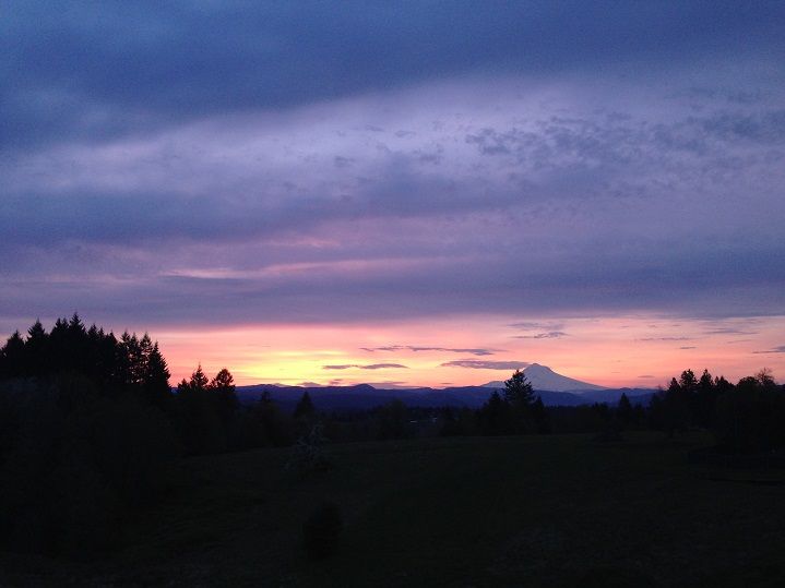
The well known Salmon River Trail southwest of Mt Hood is great in so many ways. The canyon, the river and its waterfalls as well as the backpacking opportunities and the lonely east end all make for great adventures no matter ones interest or ability. For our hike, we started at the western end off Welches Road and hiked 14 miles to the eastern end(near the Jackpot Meadows TH ) and back totalling about 30 miles for the day. To switch things up a bit and explore a couple of lesser used trails in the wilderness we made a loop out of the Dry Lake and Fir Tree Trails to get us back to the Salmon River. A whole lot of amazing scenery that neither of us had ever explored sat before Joie and I as we eagerly set off from the TH around 7:30 a.m. But before all that eagerness and excitement could be worked out on the trail the Hood made its presence known just before sunrise:


Image


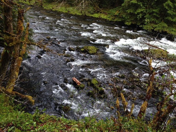
A sign at the TH said the river is the only one in the lower 48 that has its entire length designated as a National Wild and Scenic River:

Image


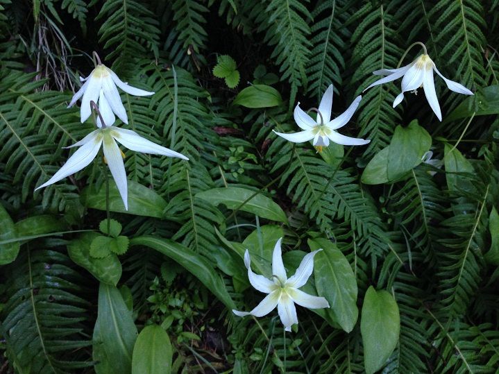
Fawn Lilies were out in force near the TH:

Image


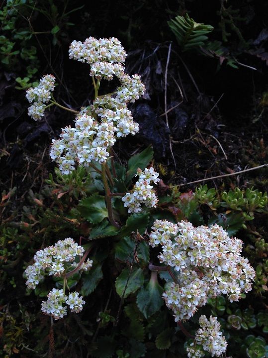
And saxifrage in the open rocky sections near the river:

Image


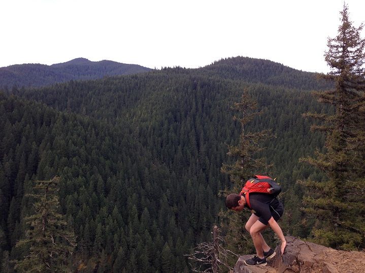
We took the little mini loop to see the awesome viewpoint described in the fieldguide(about 3.5 miles in)

Image


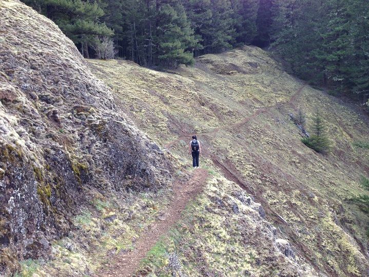
Joie enjoying the exposed section way above the river:

Image


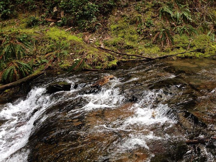
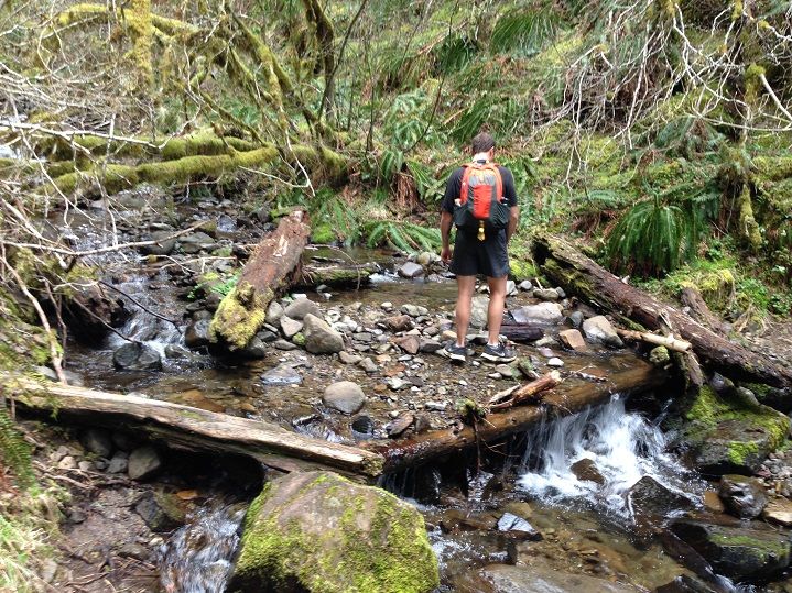
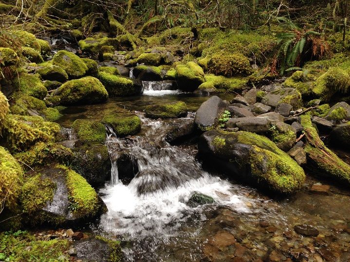
There were lots of beautiful creeks to cross throughout the day, including one of Goat Creek near some nice big campsites:
Image


Image


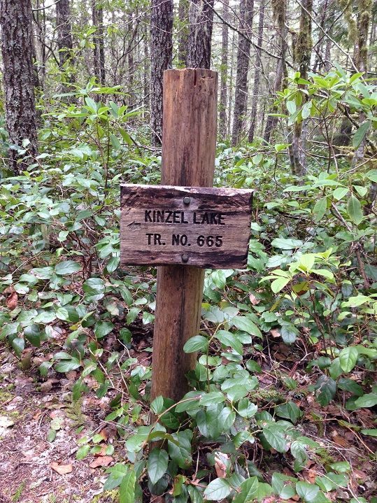
Pretty soon we were at the Kinzel Lake Trail junction:

Image


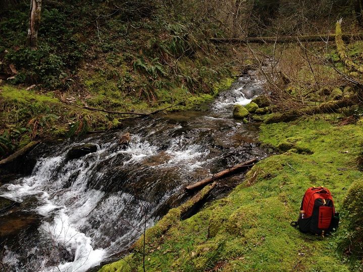
And the beautiful Kinzel Creek:


Image


Image


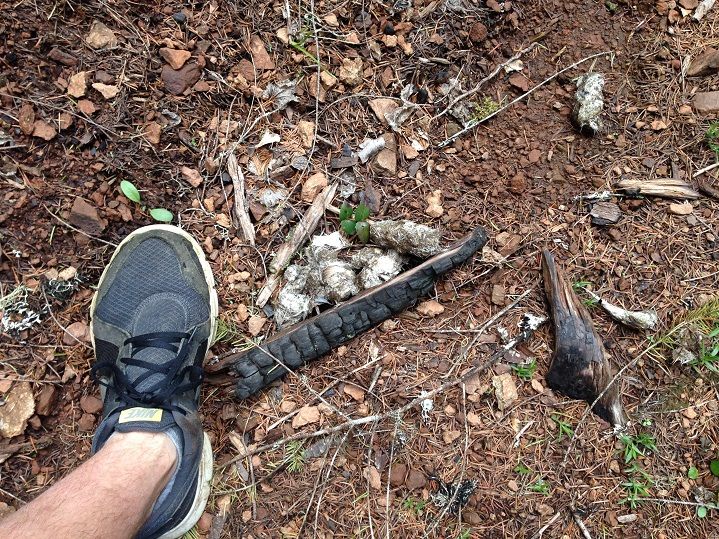
The trail past the junction had a much more remote feeling as the tread shrank dramatically in width. Salal, Oregon Grape and Red Huckleberry are attempting to grow over the trail but none of the sections would I consider bad or overly brushy in any way. One thing we did notice were tons of signs of large predators. I think this is Mountain Lion poop filled with deer hair:
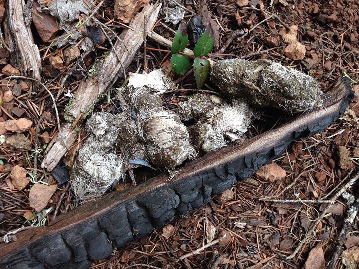

Image


Here is my foot for scale:


Image


Compare that to this tiny scat we saw on the Dry Lake Trail, which I think was Bobcat:
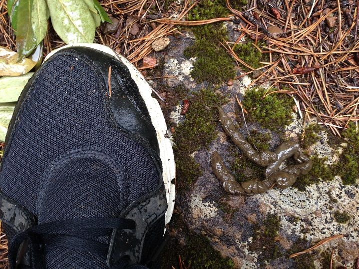

Image


Derping out at the Linney Creek junction:
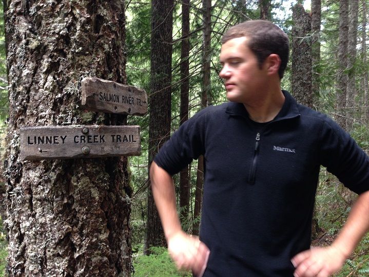

Image


Jojo pushing ahead with the Linney Creek Trail going down to the fording spot(on the right)
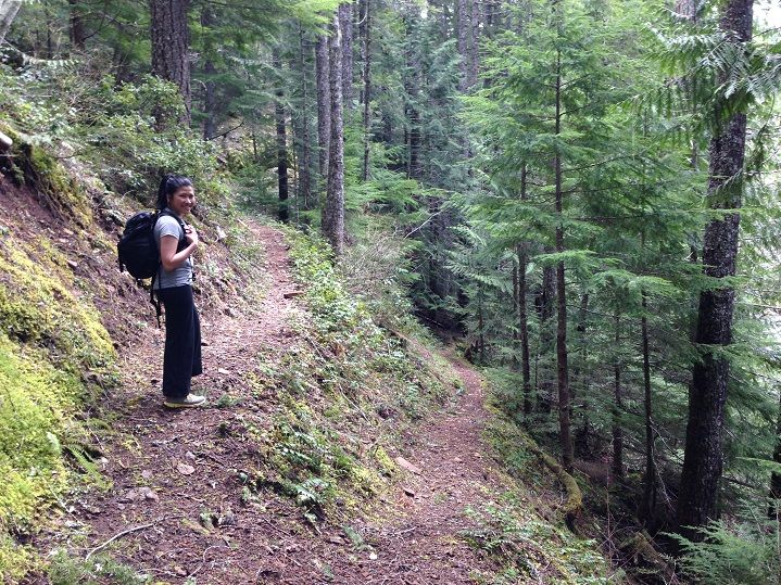

Image


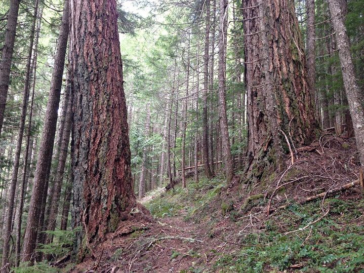
Lots of gigantic Douglas Firs were hugged throughout the day:

Image


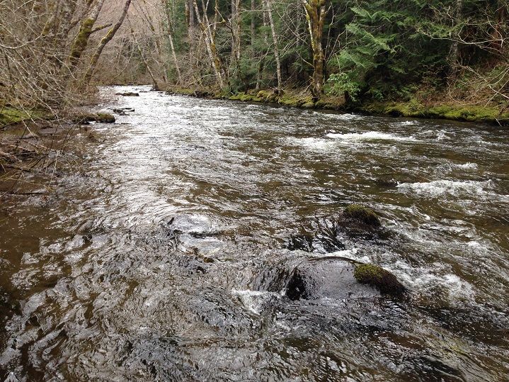
There are several nice stretches of riverside trail once you get a few miles past the Kinzel junction:

Image


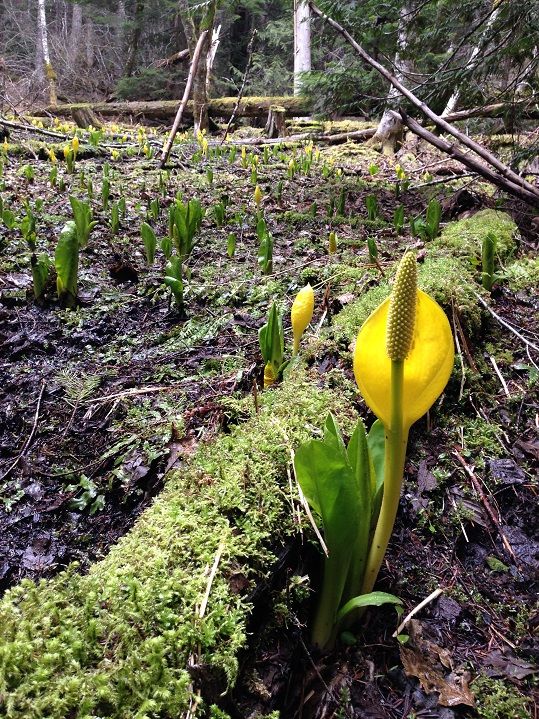
Skunk Cabbage was blooming nicely in some of the boggier areas:

Image


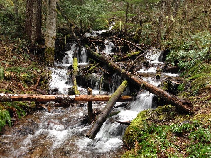
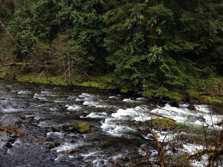
More beautiful stream side scenery:


Image


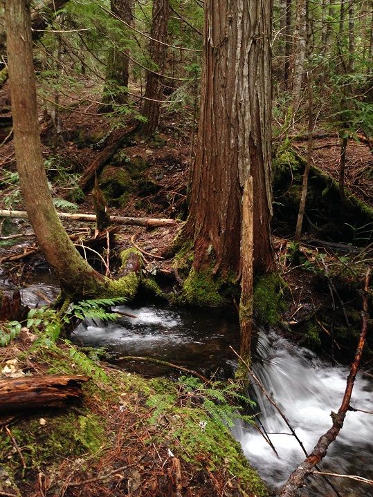
Fir Tree Creek has a big cedar growing right in the middle of the creek at the crossing point:

Image


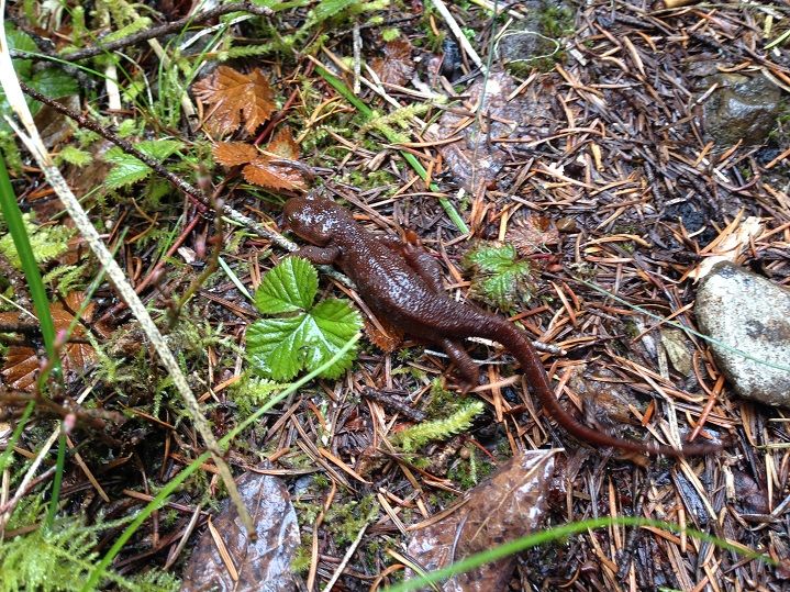
A resident of the Fir Tree drainage:


Image


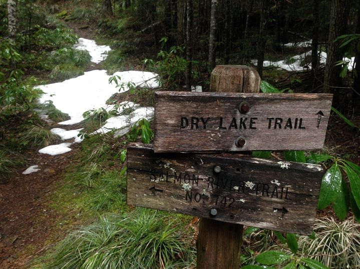
Shortly after the crossing the trail makes a swing to the northeast and heads away from the Salmon River. It gains a few hundred feet as it climbs up the Fir Creek drainage before reaching the junction with the Dry Lake Trail:

Image


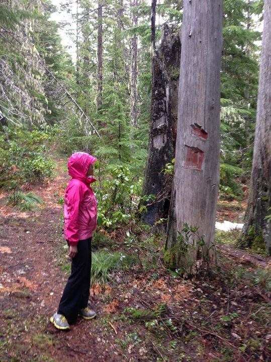
There was patchy snow near the creek but none at our high point of the day(around 3,800 feet). Blazes were evident on some of the trees but even more noticeable was the brush-out that's been done on this trail recently. I saw some reports here on Ph about poor conditions on the trails in this area so we were super stoked to see all the recent maintenance. Big thanks to whoever is putting in all the hard work out there!

Image


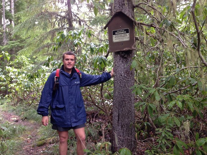
The rain started in around noon in spurts and it was time for the blue duck:

Image


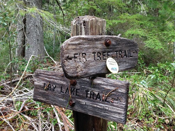
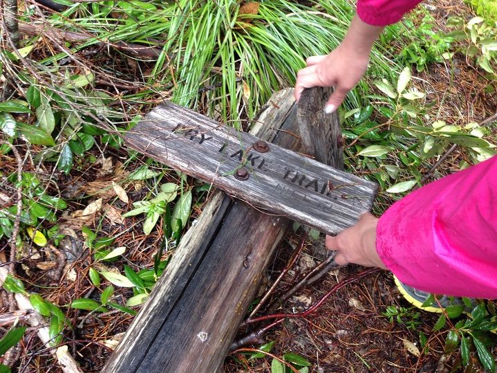
The Fir Tree Trail would dump us back on the Salmon River Trail a little further west than where we left it and would offer us some new scenery. The sign at the Dry Lake-Fir Tree junction was down on its backside so we helped it back up:

Image


That's better :)


Image


Most of the Fir Tree Trail had been brushed out too but there was a section about 1/3 mile long that was incredibly thick with rhodies in some places. This is one of the much better sections during the rough patch:
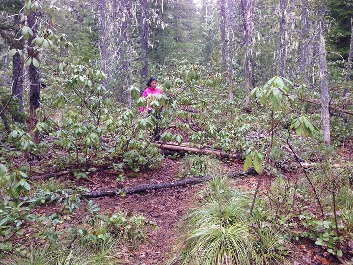

Image


Once we got back to the Salmon River we took a nice break and then put the pedal down on the hike/run back to the Kinzel Creek crossing:
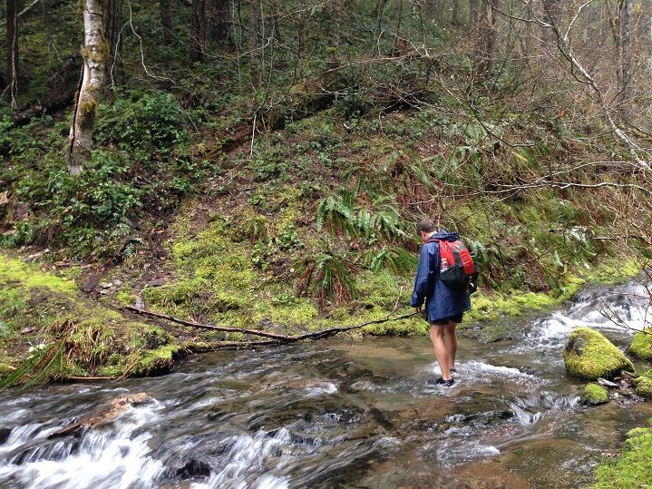

Image


Back to the wide open stretches where we saw some friendly campers, and lots more big trees to admire:
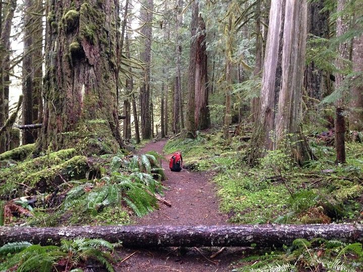

Image


Familiar scene near the TH:


Image


Finishing strong after another awesome day on the trail and so proud of Jojo for her incredible effort yesterday:
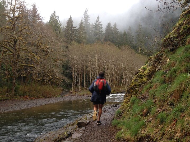

Image


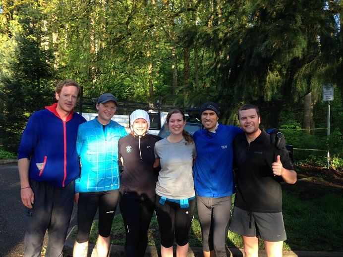
I feel fortunate as it seems like things are coming together really well right now. I started a running class a couple weeks back with some well known Portland running legends and have been really enjoying it so far :)

Image


It is very unlike me to sign up or participate in something like this(hence why I go hiking for hours on end alone a lot :D :roll: ) but I've learned a lot and look forward to being ready for the Hatfield 100 early this summer ;)
Last edited by Sean Thomas on April 20th, 2014, 3:53 pm, edited 1 time in total.

User avatar
BrianEdwards
Posts: 2405
Joined: February 2nd, 2010, 1:32 am
Location: Oregon City, OR
Contact:

Re: Salmon River Double w/Dry Lake and Fir Tree Loop: 4/19/1

Post by BrianEdwards » April 20th, 2014, 3:28 pm

Nice trip up the Salmon, Sean. Were there any big logs down across the trail?
Clackamas River Waterfall Project - 95 Documented, 18 to go.

User avatar
Peder
Posts: 3401
Joined: May 28th, 2008, 10:02 pm
Location: Lake Oswego

Re: Salmon River Double w/Dry Lake and Fir Tree Loop: 4/19/1

Post by Peder » April 20th, 2014, 8:07 pm

Sean Thomas wrote:I've learned a lot and look forward to being ready for the Hatfield 100 early this summer ;)
Great trip report, I have yet to visit the upper part of the Salmon River. Just thinking of the Hatfield 100 makes my legs sore... Have fun with your preparations!
Some people are really fit at eighty; thankfully I still have many years to get into shape…

User avatar
Sean Thomas
Posts: 1647
Joined: February 25th, 2012, 11:33 pm

Re: Salmon River Double w/Dry Lake and Fir Tree Loop: 4/19/1

Post by Sean Thomas » April 21st, 2014, 9:11 pm

Thanks guys :) There were a few logs down throughout the whole route but only a couple of them would be considered big and could be bypassed safely/easily. I think you would really enjoy the east end Peder, definitely your kind of place back there!


Here is a gps track of the trip. Does gpsfly edit the track or are the stats just that much different from what the trip computer shows? The gps showed a 3.2 moving average with a 2.5 overall pace by the time we were done and said we had gone about 30.3 miles. We started at 7 or 7:30 a.m. and finished about 12 hours later. The track says about 28 miles and shows our moving average being almost exactly the same as our overall. Does anyone else notice that happening?


http://gpsfly.org/g/3253


Also even more weird is this one from Hamilton Buttes. It shows us as having been moving for 24 hours straight :lol: with a moving average and overall average of .6 mphs. The trip comp that day said something like 2 mph moving pace with 1.5 overall or something. So it seems like it was recording while we were sleeping, but then wouldn't it show a huge difference between moving time and overall time, instead of showing them as exactly the same seeing as we were dead still in the tent for 10+ hours?


http://gpsfly.org/a/3255


And another one, This was a 14 miler on the Gales Creek Trail(didn't track the road walk in). Trip comp showed 4.3 moving average with 4.1 overall and then it was just slightly different in gpsfly. But it said I only stopped for two minutes, which is compltely wrong as I took a few breaks totalling atleast 15 or 20 minutes. Really I guess I am just confused at the Hamilton Buttes one and why it seems to think we were on the move for 24 hours lol.


http://gpsfly.org/a/3189

User avatar
kepPNW
Posts: 6411
Joined: June 21st, 2012, 9:55 am
Location: Salmon Creek

Re: Salmon River Double w/Dry Lake and Fir Tree Loop: 4/19/1

Post by kepPNW » April 22nd, 2014, 9:59 am

Sean Thomas wrote:Here is a gps track of the trip. Does gpsfly edit the track or are the stats just that much different from what the trip computer shows? The gps showed a 3.2 moving average with a 2.5 overall pace by the time we were done and said we had gone about 30.3 miles. We started at 7 or 7:30 a.m. and finished about 12 hours later. The track says about 28 miles and shows our moving average being almost exactly the same as our overall. Does anyone else notice that happening?
Lots of stuff going on there. I don't think gpsfly does anything at all "to" the track, no. Usually, the gpsfly stats aren't all that different from what you'd see in Garmin's Basecamp program. The discrepancies are in the algorithms used, and the data they're used on. The GPS' odometer is recalculating its stats using a new datapoint every second! You can set your GPS to store data that often, and in that case the track would compute out to roughly the same distance. The shorter distance computed from the track is most attributable to generalization...

http://en.wikipedia.org/wiki/Coastline_paradox

http://garminoregon6xx.wikispaces.com/T ... k+Distance

But there are minor variables (topography, satellite reception, etc) that make it all inconsistent, too. And then there's just downright subjective stuff, like what - precisely - is the definition of "stopped" time as recorded by a GPS? Sounds simple, until you try telling a computer (or three-year old) how to determine that. Finally, toss in different ways to do the math (2D or 3D?) and the problem just gets really messy/complex really fast. :)

Recently had a long discussion on all this on the Garmin wiki.
Karl
Back on the trail, again...

User avatar
Rustygoat
Posts: 507
Joined: August 27th, 2012, 2:28 pm
Location: SE Portland

Re: Salmon River Double w/Dry Lake and Fir Tree Loop: 4/19/1

Post by Rustygoat » April 22nd, 2014, 8:37 pm

Awesome Sean! I'm always amazed on the amount of miles you cover. Last year I wasn't paying attention to the trees so much when I was up there until the hike out. It got dark on me and I pulled out my light....the blazes really stood out. Thanks for sharing another great adventure :)
Tim

Chasing waterfalls can be addictive.
NW Off-trail Waterfalls -Facebook Group

mcds
Posts: 802
Joined: April 7th, 2012, 4:25 pm

Re: Salmon River Double w/Dry Lake and Fir Tree Loop: 4/19/1

Post by mcds » April 23rd, 2014, 12:33 am

Wow, the Hatfield 100. Respect. Best wishes on training and big day.

User avatar
Sean Thomas
Posts: 1647
Joined: February 25th, 2012, 11:33 pm

Re: Salmon River Double w/Dry Lake and Fir Tree Loop: 4/19/1

Post by Sean Thomas » April 23rd, 2014, 10:47 am

Thanks, Karl. That helps a lot. I know you have a lot of expertise in this area so I really appreciate the response. I also apologize for being the three year old here :D Is your gps set to store data every second?


Thanks Goat and MC! I noticed some of what might have been slightly newer blazes on the fir tree segment of the hike. Might have just been tarping out tho and they could have been old too :? :D Really nice forest out there though and definitely worth getting back up to explore some of the falls and old trails on the eastern end. As for the hatfield thing I am hoping to borrow pablos bike for a large portion if he is willing :D

User avatar
kepPNW
Posts: 6411
Joined: June 21st, 2012, 9:55 am
Location: Salmon Creek

Re: Salmon River Double w/Dry Lake and Fir Tree Loop: 4/19/1

Post by kepPNW » April 23rd, 2014, 12:04 pm

Sean Thomas wrote:Thanks, Karl. That helps a lot. I know you have a lot of expertise in this area so I really appreciate the response. I also apologize for being the three year old here :D Is your gps set to store data every second?
No apologies, please! I learn a bit more about GPS with each outing. I have mine set to record in "auto" mode at "more often" frequency. That seems to represent the best compromise. If I bump it up to "most often" it seems I get more "chatter" in the recorded track - where the GPS appears to be moving even when I'm not! The result is that my recorded tracks tend to be anywhere from 5-20% shorter than what the odometer says. Seems the two measures are closest together on hikes where I "just keep moving" with good overhead visibility. Getting into canyons or stopping an awful lot will both increase the discrepancy between the two. I've come to feel that the "true distance" (philosophical aside: if such a thing really exists) is somewhere between, and it's a judgement call where to move the slider based on the factors I've come to recognize will alter the recording. Anyway, that's why I've gotten a lot more comfortable with the really vague and "imprecise" sorts of rounding done on sites like WentHiking.
Karl
Back on the trail, again...

Post Reply