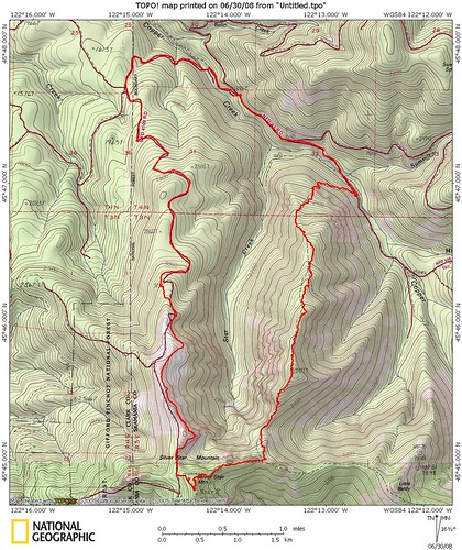
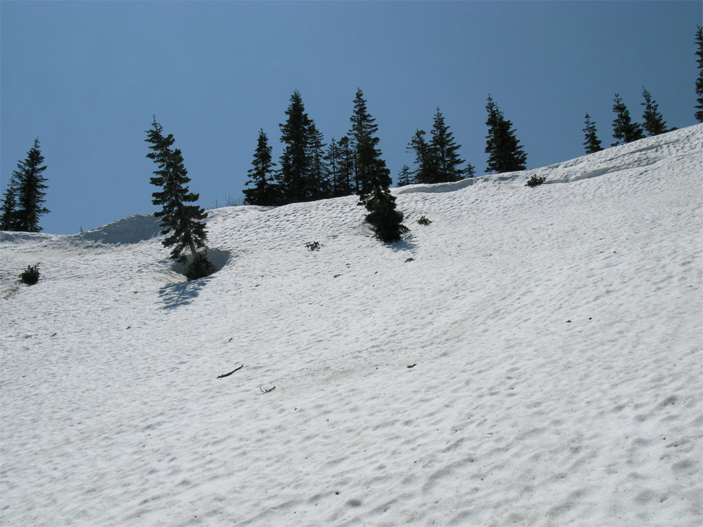
Did the Starway Trail to Silver Star route in search of some detail on the falls of Star Creek found just north of Silver Star Mtn. The first part of the Starway Trail is a straight up the ridge, no switchbacks, very steep. This day lots of laydown as large amounts of snow, now gone, pushed lots of brush and smaller trees on the trail. The second part is a bushwhack and today, lots of snow towards the Bluff Mtn. Trail intersection.
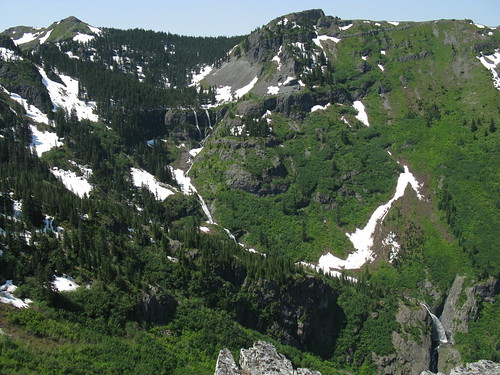
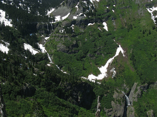
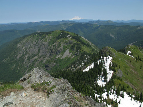
I arrived at the high point of the ridge the Starway ascends and got the view I was looking for; a complete shot of all the falls and the top of Silver Star Mtn, this is the shot I missed the last time I was in the area with the falls going:
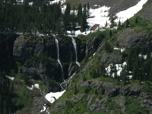
Here's just the falls:
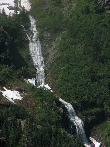
Going from top to bottom, the upper falls:
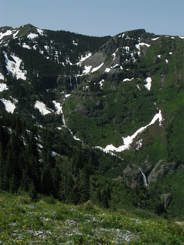
The middle falls:
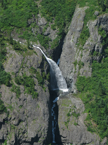
The lower falls:
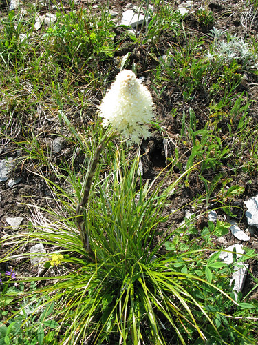
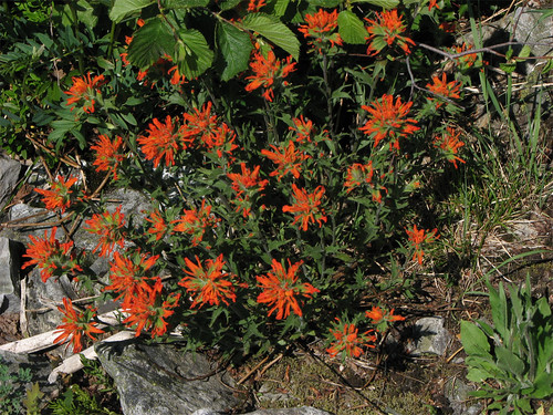
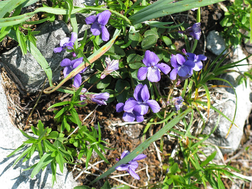
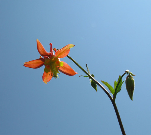
Lots and lots of flowers blooming everywhere but unfortunately, the beargrass blooms that should be as numerous as as the clumps of beargrass I kept tripping over were scarcely making a show. I wonder if beargrass is just going to skip this year in this area, bloom-wise. Here's a few flower pictures for which I confess I have no patience for flower pictures since I can never get them right - I'm going to have to work on my macro focus settings.
Beargrass, one of about 10 on the whole mountain.
Clump 'o Paintbrush
Purty Violets
My favorite flower of the day, Columbine, I believe.
Having bagged the falls, I headed up the 'trail', or rather 'route' as there is no trail even with the snow gone, to the intersection with Bluff Mountain Trail. Lots of snow towards the intersection with Bluff Mtn Trail.
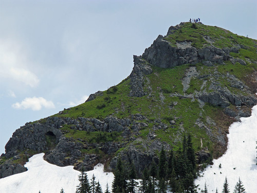
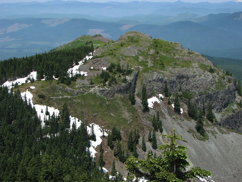
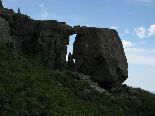
I made the connection to Bluff Mtn Trail and headed up the fairly snow free trail to just before the peak where I lost the trail under deep snow. The steepness of the snow made a traverse unreasonable so I just headed up the hill in the direction of the summit. While on the way, I ran into a natural arch - I don't recall seeing mention of this anywhere but it must be known as it is very near the summit. Here is a photo taken from Eds Trail of the arch and the SS summit - the arch is the dark cave-like object on the left, with some folks on the summit.
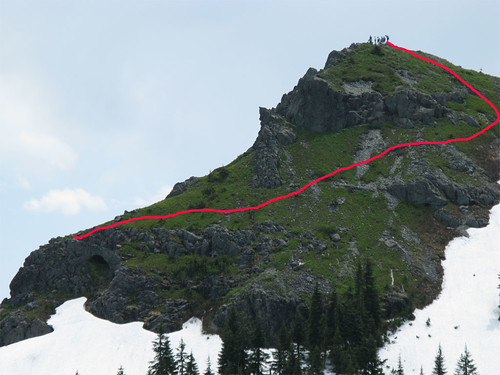
Same photo with the route I took to the summit starting from the arch:
Very large arch, were I younger I'd of crossed it.
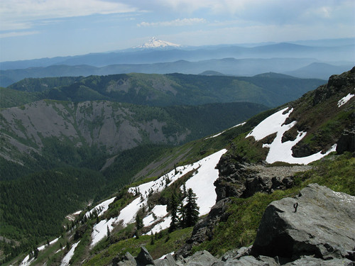
There were bunches of people making the hike up to the summit, I suppose mostly from the 4109 trailhead from the number of vehicles there when I passed through. The world needs more photos from the summit of Silver Star Mtn. Here's some of mine.
Ridge after ridge to Mt Hood and beyond.
Looking at the high point of the Starway Trail - to the left of center and up a bit - the best spot for viewing the falls (other than hiking down the hill and getting real close):
I set about my return wanting to do Eds Trail - the section that has the sign off the Silver Star trail had too much steep snow so I intersected a ways up. Here's Eds Trail from the summit.
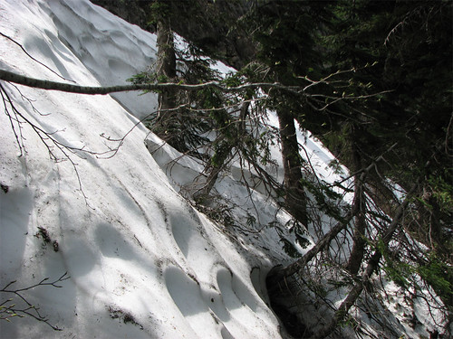
Looks really neat from this photo and I've never done it before but on this day I shouldn't have. The parts of Eds Trail I could see looked fine and snow free. Had I known where the trail was I could have seen the problems from the Starway - I'll know better next time. Here's the first hint of trouble on the trail, I think I went below this part but my ice ax really got a workout today. I did some steep snow on Eds Trail today.
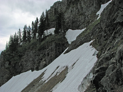
Here is the main trouble spot, the trail passes above the line of trees but empties out down the narrow slot into the snow field. I followed the edge of the snow down grabbing whatever brush I could then carefully traversed over to the talus slope - made me a little nervous in spots.
Never again in snow but Eds Trail looks like a lot of fun otherwise - really neat trail.
The hard part done I came upon the arch on Eds Trail, got a picture of this in the trail guide I think, here's mine.
Great day, great hike, too much snow. Just missed the thunderstorm that looked like was headed my way but I did catch a few rain drops on the ride out. I had parked at the spot where the FR4109 road crosses Copper Creek so I had a long walk from the Silver Star trailhead - some folks were kind enough to let me ride in the back of their pickup truck part of the way down, thx a heap, I was out of water and energy by that time and needed the boost.
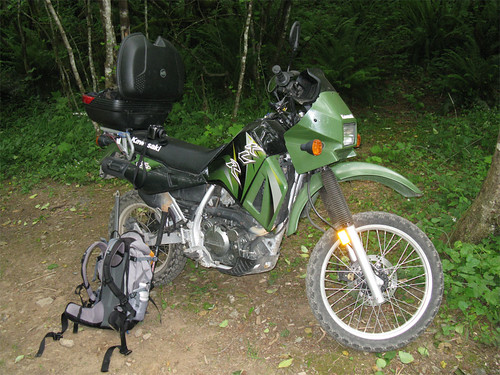
Oh, my ride - allegedly gets 50 MPG...
--Paul
12+ miles, ~4000' cumulative gain.