I've been thinking about this loop ever since Matt (Water) asked about it last week, and gave it a go yesterday. There's still a bit of snow on the Benson Plateau, and route finding through the plateau is a little sketch (more on that in a moment), but you can definitely now do it without snowshoes or microspikes.
The Field Guide suggests doing the loop clockwise, but I went the other way, because I was a little worried about steepness on the Eagle-Benson Trail, and I'm more comfortable going steeply up than steeply down.
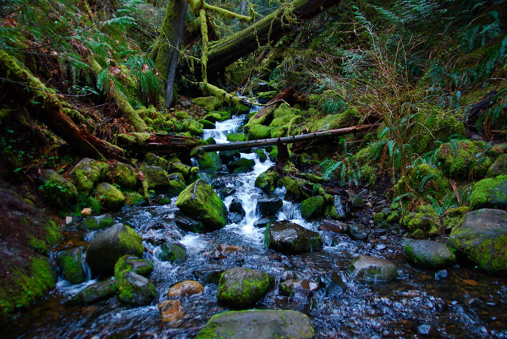
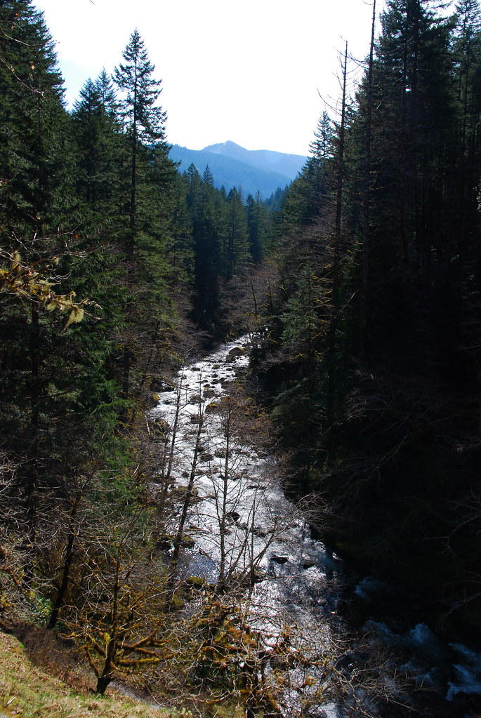
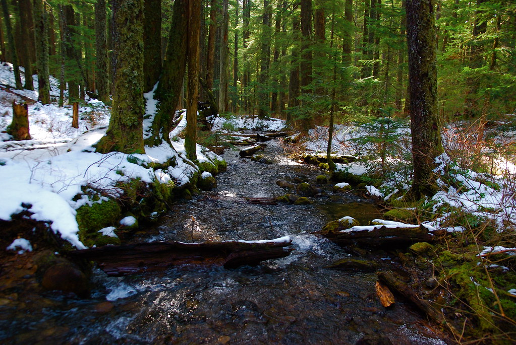
I didn't take many pictures on the way up Eagle Creek, though some of the side creeks were looking gorgeous.
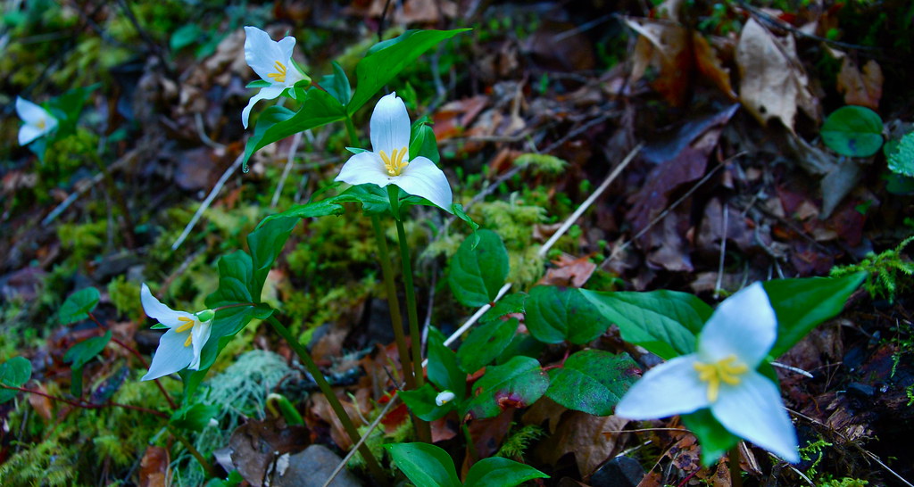
As were the flowers
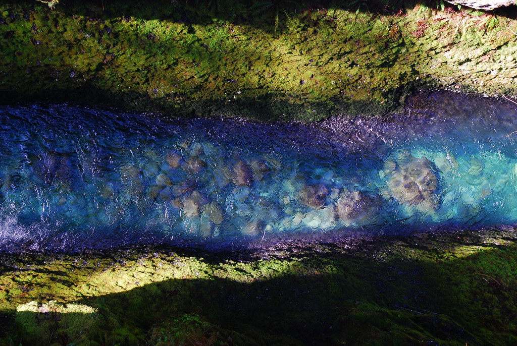
Looking down from High Bridge
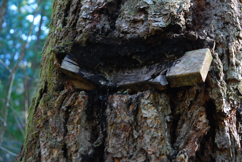
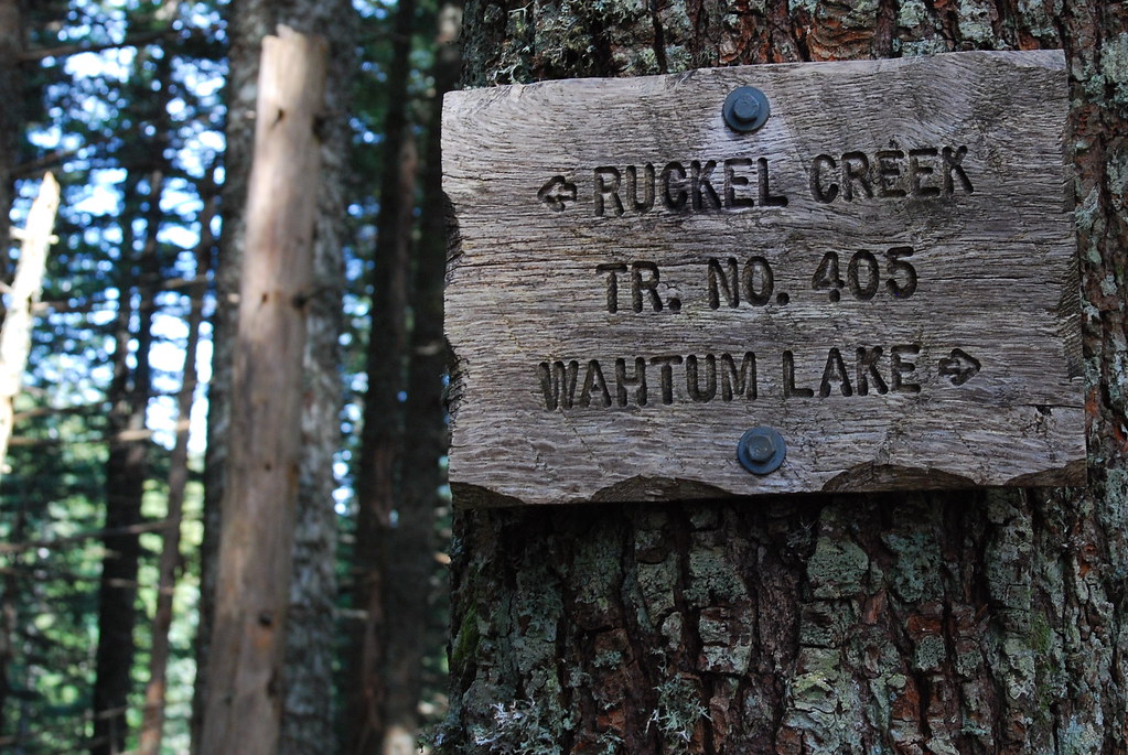
I love this old sign for Wy'East Camp.
As others have said, the Eagle-Benson turnoff isn't all that obvious. After reading Splintercat's helpful guide, I knew to keep my eyes out just after crossing Wy'East Creek. At first, it almost looks more like a sketchy deer path than a proper trail.
With lots of exposure, at least for me
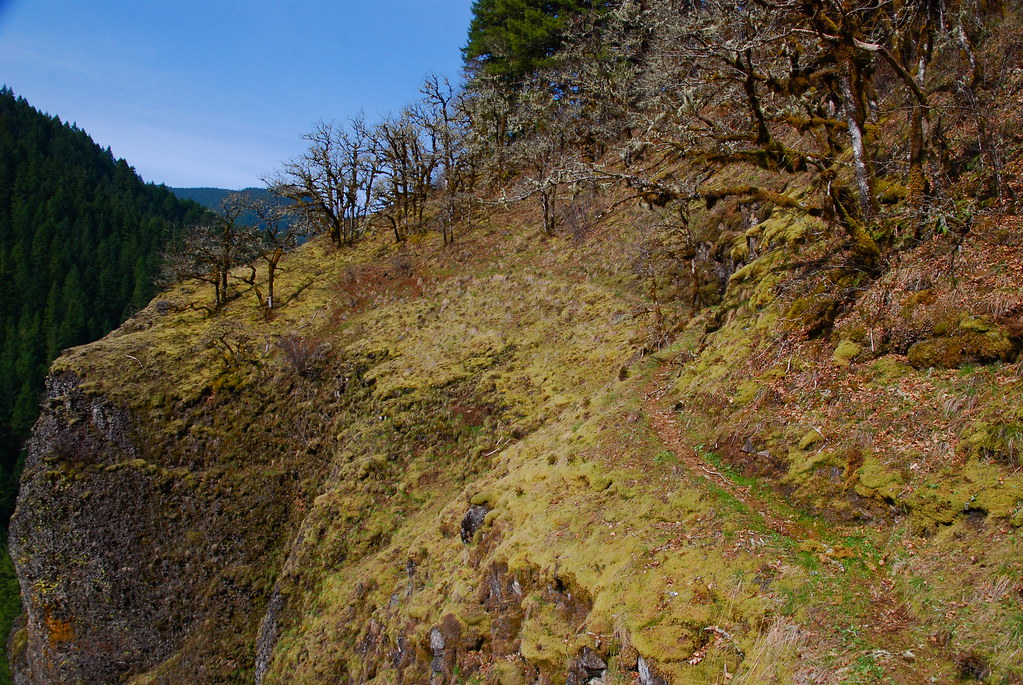
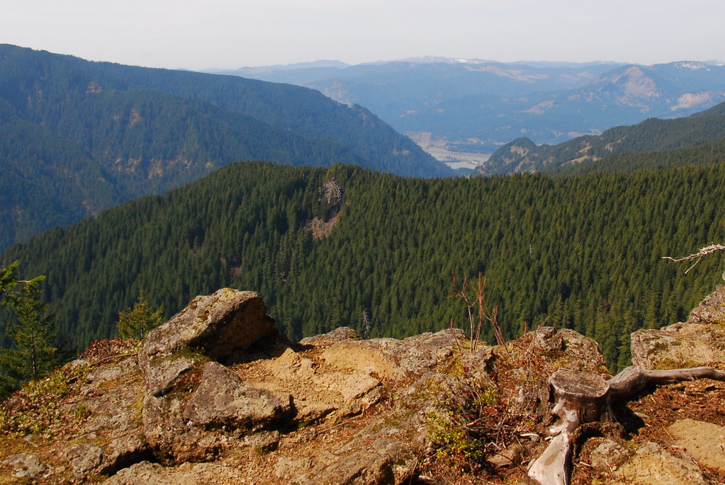
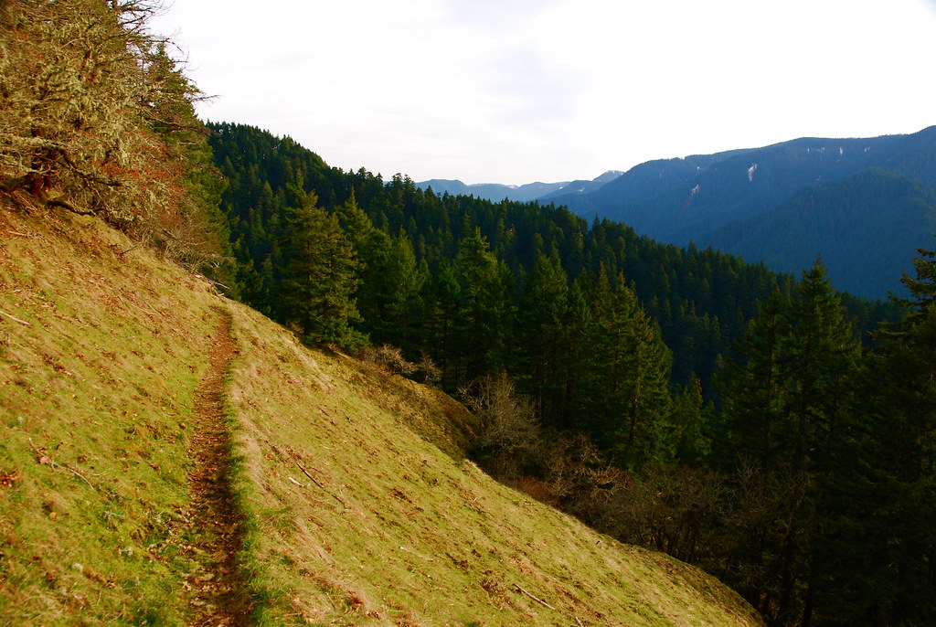
But, pretty much immediately, the views are incredible. And the just get better as you go up (and up and up...)
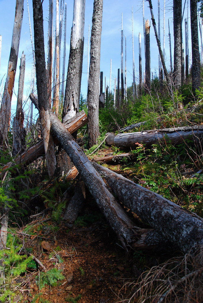
The trail's in pretty good condition, though there are areas of pretty frequent blowdown.
Nice spot for a break
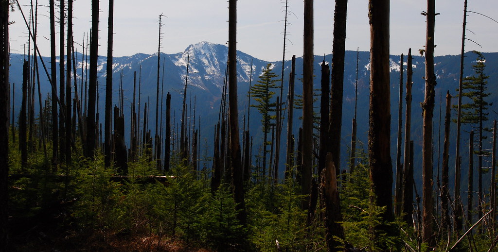
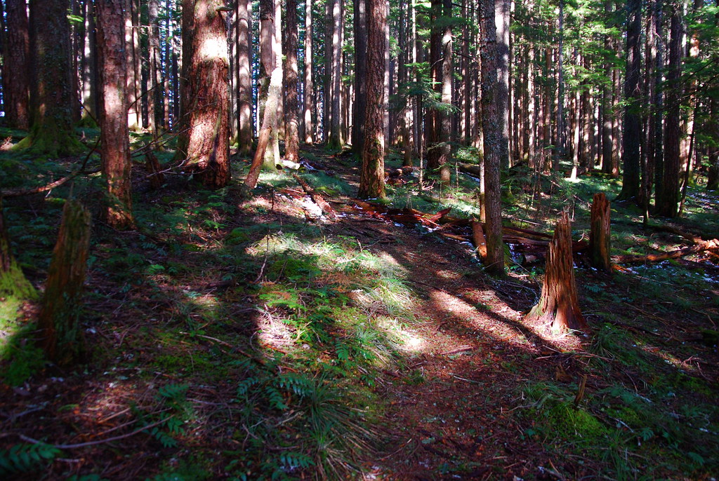
The three or so miles up to the PCT seemed much longer than it was, but I eventually hit Camp Smokey and the Benson Plateau. The trees around the camp are all a little singed - anyone know the story there? Out of control campfire?
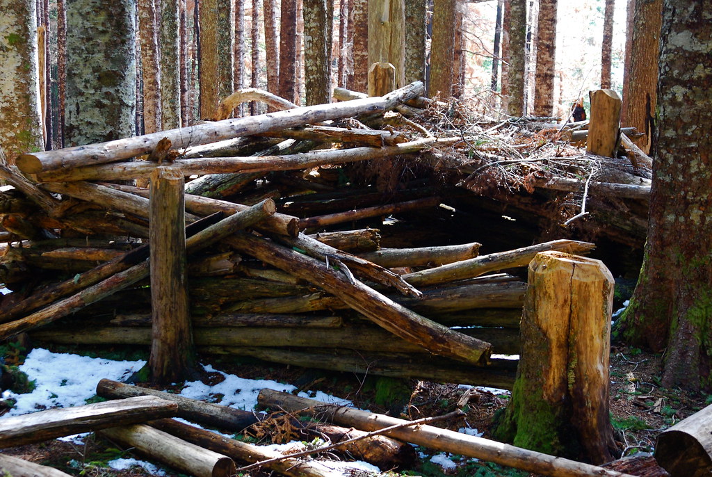
Cool shelter just past Camp Smokey
Junction
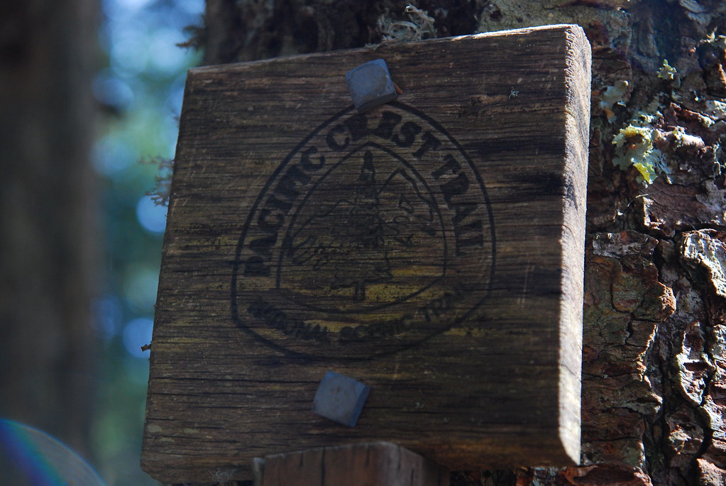
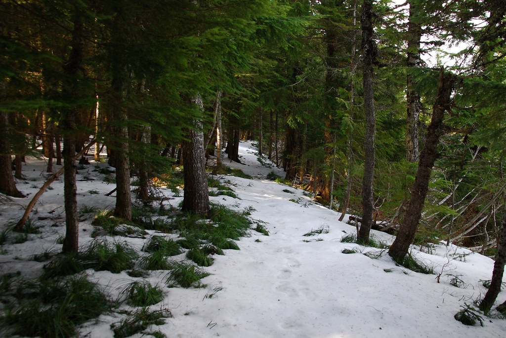
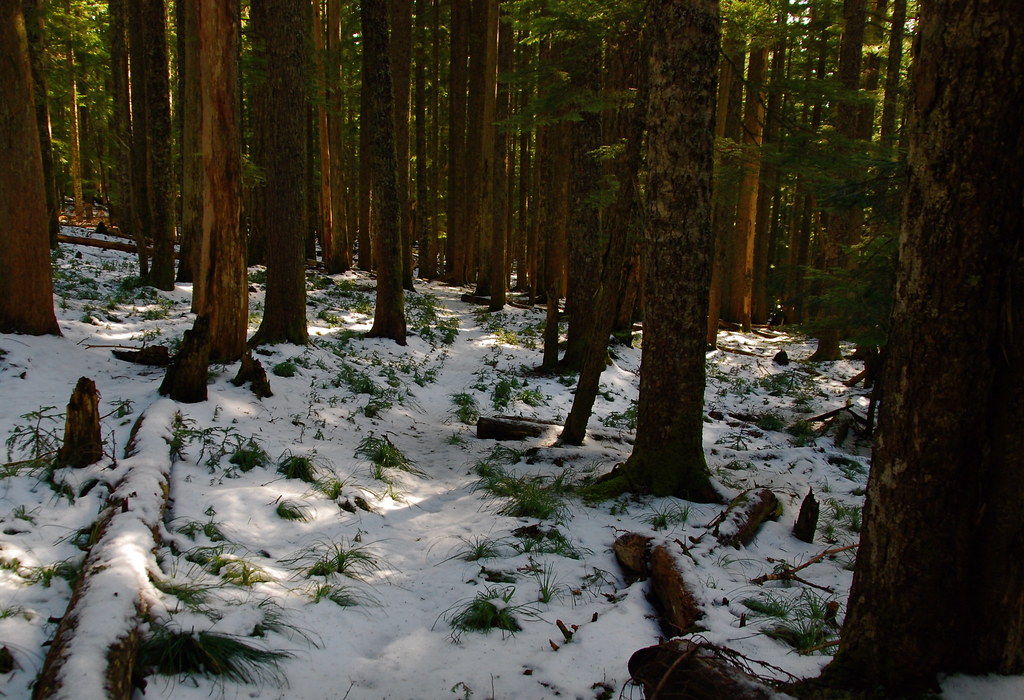
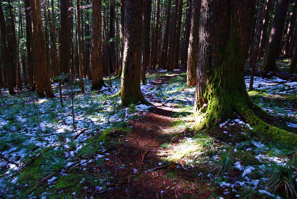
Up to this point, there hand't really been much snow. But as I took the PCT north into the Benson Plateau, that quickly changed. I briefly followed the southernmost branch of the Benson Way Trail, but I wasn't sure about it and didn't want to get lost on the plateau, so I went back to the PCT, which was much more obvious. My plan was to follow it until one of the Benson Way Trails seemed more obvious, or, worst case scenario, to take the PCT down toward Cascade Locks then Trail 400 back to Eagle Creek. The whole time, I kept thinking about how happy I was to have a good map and compass. I can imagine things getting really bad without them. In any case, the northernmost branch of the Benson Way Trail was much easier to follow, and I eventually got to the Ruckel Creek Trail.
PCT
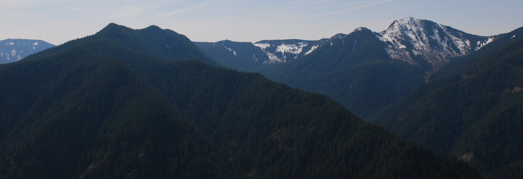
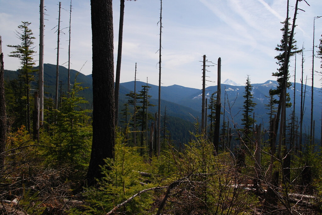
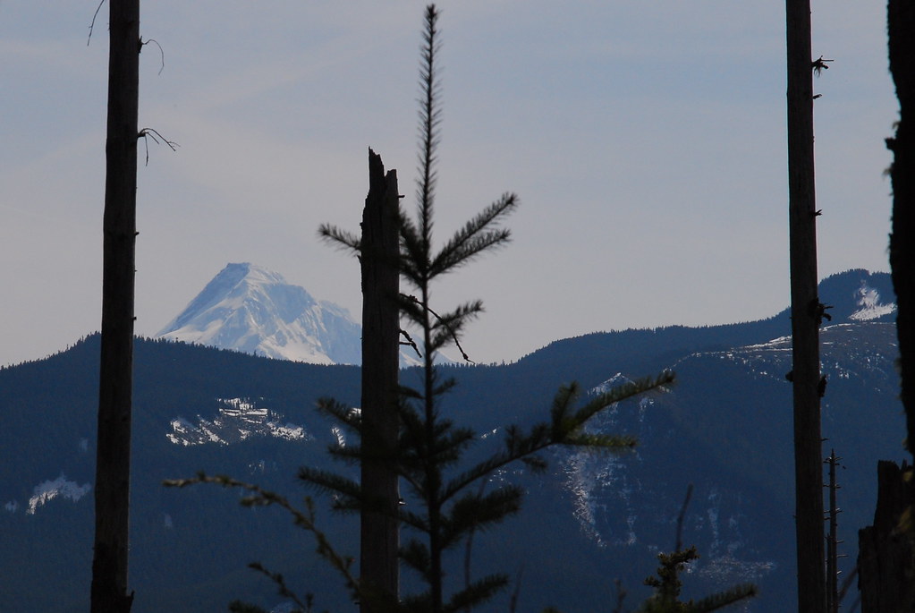
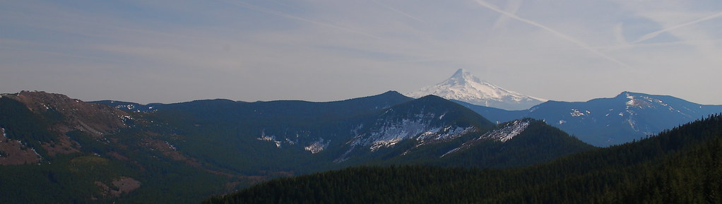
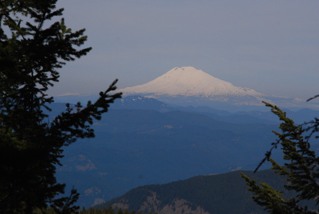
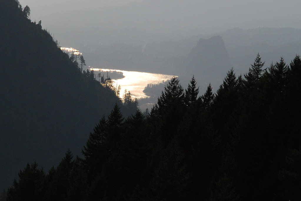
Great views of Hood and Adams
Benson Way
Ruckel Creek! I was so happy to see this that I unintentionally let out a little yelp.
From there, it was just an easy, if steep, walk down the Ruckel Creek Trail and back to my car.
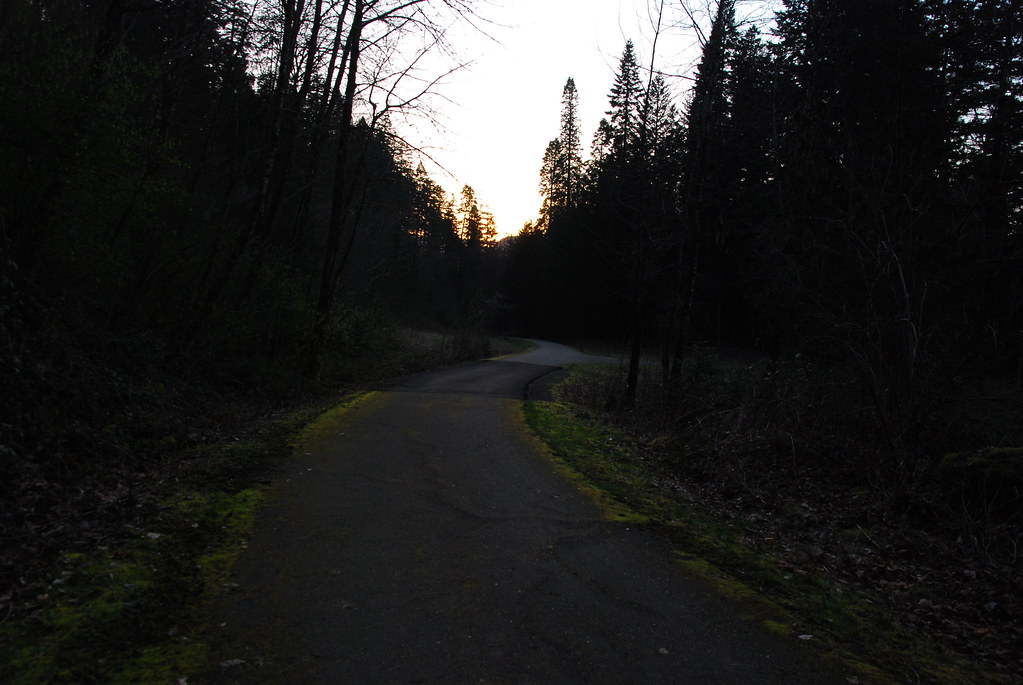
I got to the car just as the sun was setting, and was happy to see it untouched and still full of gas
Eagle-Benson Loop, 3-24-14
Re: Eagle-Benson Loop, 3-24-14
Great trip report! Any idea how many miles this was? I would like to attempt this after the snow is gone.
Thank you for sharing.
Re: Eagle-Benson Loop, 3-24-14
Helen we did it back in November. We clocked 17 miles & 4700' of EG.
Re: Eagle-Benson Loop, 3-24-14
My mileage for the loop was a little higher because I ended up taking a circuitous route all the way around the Benson Plateau, but if you go straight through that sounds right.Guy wrote:We clocked 17 miles & 4700' of EG.
Re: Eagle-Benson Loop, 3-24-14
Keep in mind that if you had gone clockwise, from Hunter's Camp on Ruckel Creek you could pretty much bound east and you know you're going to hit the PCT. So the route-finding is easier if there is snow on the plateau.
Re: Eagle-Benson Loop, 3-24-14
Good point. This was only my third time up there, and my first time past Hunter's Camp.drm wrote:Keep in mind that if you had gone clockwise, from Hunter's Camp on Ruckel Creek you could pretty much bound east and you know you're going to hit the PCT. So the route-finding is easier if there is snow on the plateau.
- acorn woodpecker
- Posts: 240
- Joined: January 4th, 2013, 8:35 pm
Re: Eagle-Benson Loop, 3-24-14
Great report. Excellent photos. The views along the Benson Cutoff are exquisite. One gets a perspective of Eagle Creek drainage and the ridges around it that you can't get without going off trail, particularly of Tanner Butte and Waucoma Ridge. The contrast between the climb to the Benson Plateau and the plateau itself are striking. What a great day you picked to be out.
- Sean Thomas
- Posts: 1647
- Joined: February 25th, 2012, 11:33 pm
Re: Eagle-Benson Loop, 3-24-14
Nice pics and write-up, RB I think the fire happened last summer due to a campfire like you mentioned. It also looked like it was contained as there were several ditches dug out around the edges of the burn.
Good point!
acorn woodpecker wrote:The contrast between the climb to the Benson Plateau and the plateau itself are striking.
Good point!
Re: Eagle-Benson Loop, 3-24-14
I'm amazed at the lack of snow on the Plateau. It's all going to be gone by mid April! The fire at Camp Smokey was actually early fall two years ago. I did this loop right after. I agree that counterclockwise is a better way to go.
Re: Eagle-Benson Loop, 3-24-14
Thanks, everyone! It really was a great day to be out.
Seriously. It was like walking from summer to winter and back.Sean Thomas wrote:Good point!acorn woodpecker wrote:The contrast between the climb to the Benson Plateau and the plateau itself are striking.