We had blue skies and sunshine in the Gorge today - what a great start to the New Year! My buddy Severt and I led a Meetup group on Hardy Ridge. It was the first time there for everyone but me - so fun to share the great 360 views with Hood, Adams and Rainier all on display.
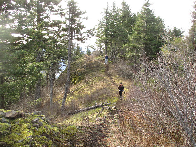
We saw nobody on the ridge but passed a couple taking a break on the way back - it was PH regulars Alison and Karl! What a treat. Karl showed me a way to backcountry down off the end of the ridge, so (as Arnold says) I'll be back.
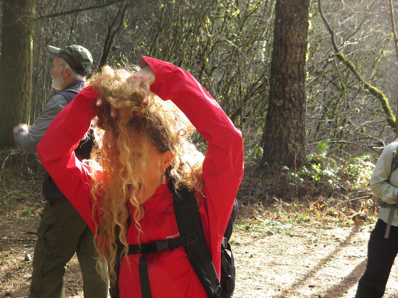
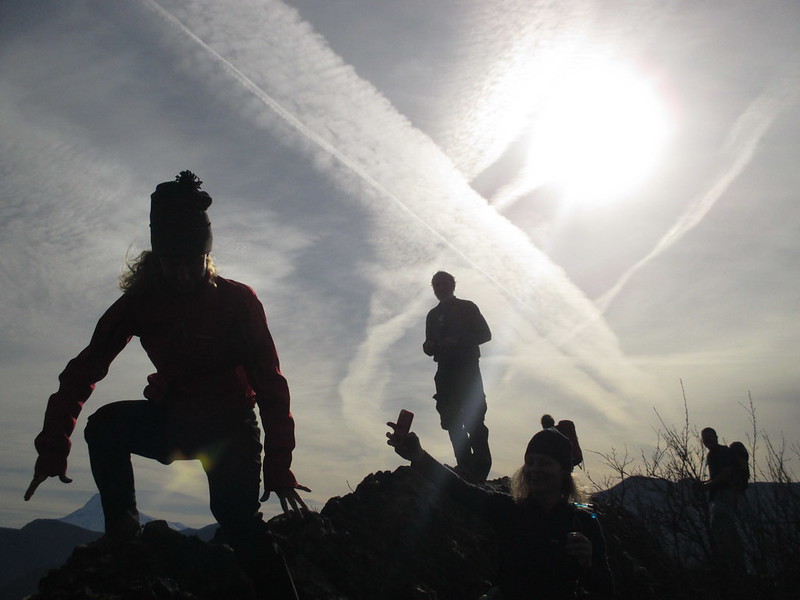
Erin having a bad hair day?
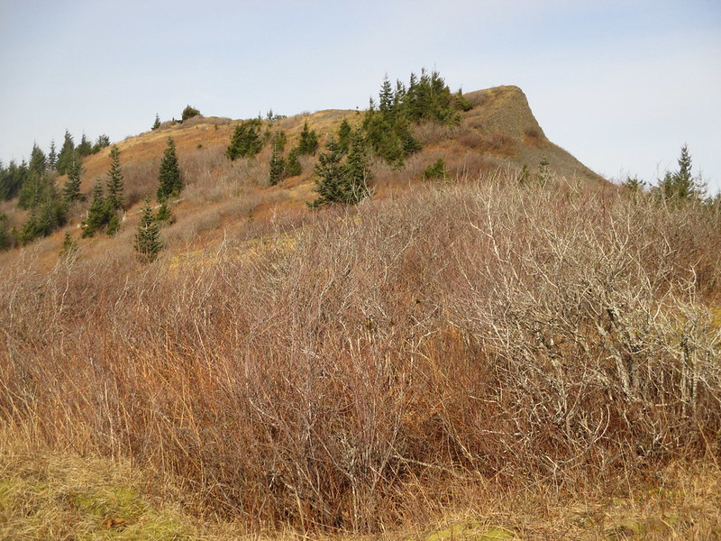
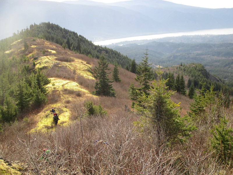
Great views to the east
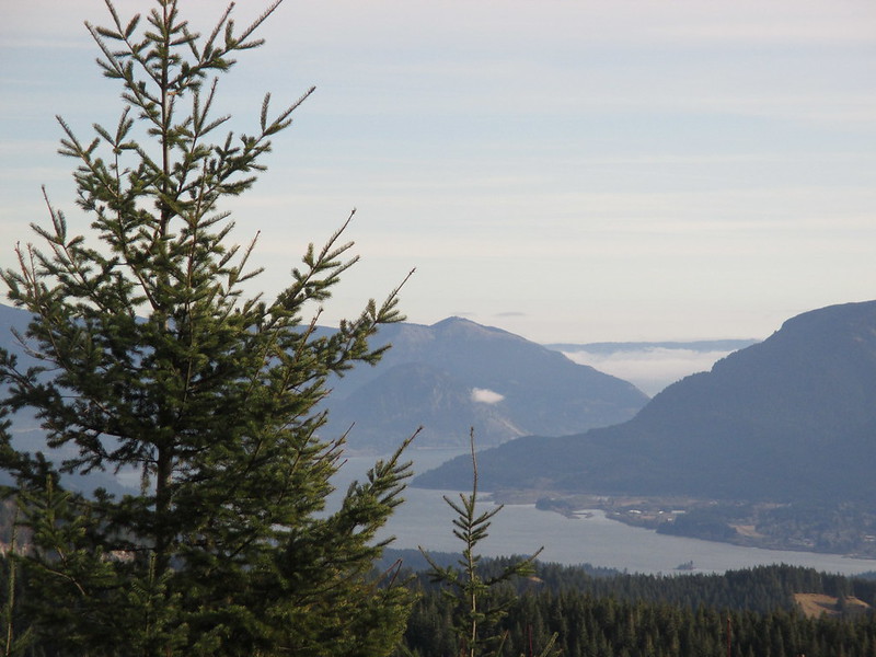
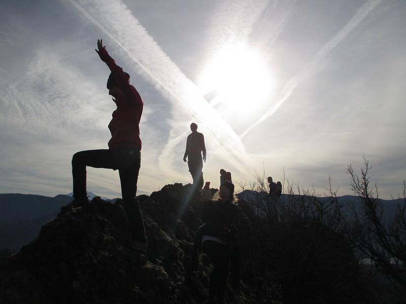
Getting artsy here ... but how often can you do this in January in the PNW?
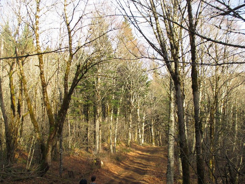
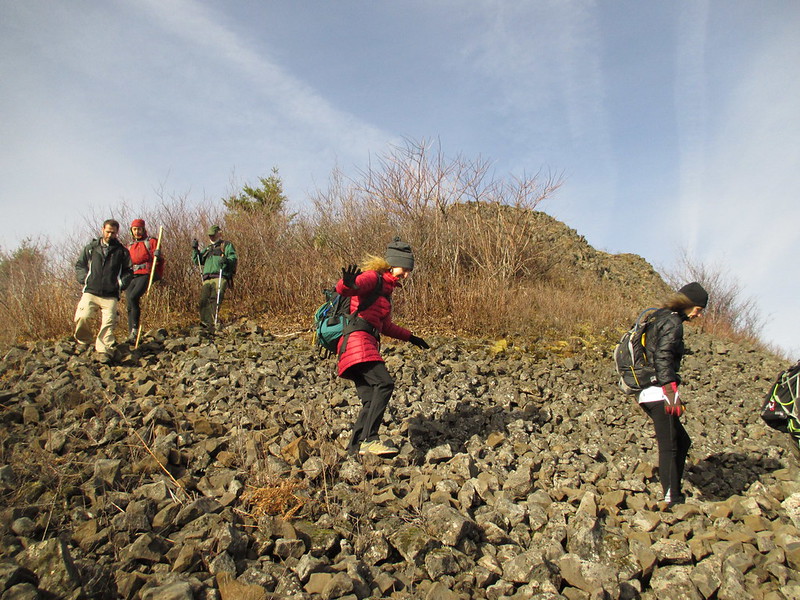
Of course there's no snow at all on the ridge
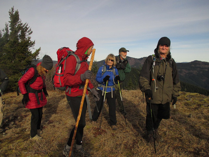
We had to bundle up on the exposed ridge - breezy and cold!
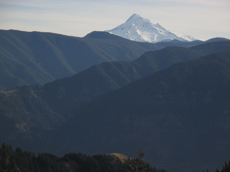
Hood looking good
Hardy Ridge 1/1/2014
Re: Hardy Ridge 1/1/2014
Good seeing you up there, too, Jeff! Totally agree -- it was a most awesome start to the new year! My goodness, how much more gorgeous can it get in January in the Gorge? We ended up going across and hitting Hamilton next, finding a loop somewhat similar to Craig's recent post that came in around 4000' and 14 miles. Incredible day!
Karl
Back on the trail, again...
- Eric Peterson
- Posts: 4097
- Joined: May 11th, 2009, 5:39 am
- Location: Oregon
- Contact:
Re: Hardy Ridge 1/1/2014
Backcountry down off the ridge where?
Thanks for the TR, I like Erin's bad hair day pic!
Re: Hardy Ridge 1/1/2014
I think it's a route you told me about? The purple track in attached map...Eric Peterson wrote:Backcountry down off the ridge where?
Karl
Back on the trail, again...
Re: Hardy Ridge 1/1/2014
Very nice Jeff! Fantastic day to hit Hardy Ridge! Excellent TR! That area just has me wanting to go back for more...
Re: Hardy Ridge 1/1/2014
FYI: there used to be another user-trail that headed directly south down Hardy Ridge. To find the upper end: start where the official WTA trail crosses the ridge. If you look carefully this is actually a 4-way junction: the main trail crosses the ridge here, one trail north to Phlox, but there's another trail going south from here too. The first bit is easy to follow: drop down past a small rock outcrop and then the trail swings east and drops down to meet the official east-side trail (main trail was rerouted in recent years). Just before the trail drops off the ridge look to the south carefully for the start of the user-trail that heads off south along the ridge. I haven't hiked it in ages, but the trail was flagged (discretely) with marking tape a few years back. A lot of the south ridge is brushy, so it's possible it may be a little overgrown this point. I remember it initially stayed on the west side of the ridge before climbing back up on top. The southern end opened up a bit into some small grassy meadow areas with some very nice views of Beacon Rock -- good lunch spot. Descend on down and the route entered the old rock quarry at the foot of the ridge, swing left and to rejoin the road and complete the loop.Eric Peterson wrote:Backcountry down off the ridge where?