The Portland Hikers band photo: Karl (kepNW) on lead guitar, Steve (jointhedance) on bass, Kam (pdxflowergirl) on drums. (Not featured: Jess (JessB), who would have been there if not for our late start and late end)
We did a fun 12-mile loop on the southwest side of Mt. St. Helens, starting at the Redrock Pass trailhead, ascending north up the Butte Camp Dome trail, and tromping through snow on the Loowit to the Loowit re-route (the snow coverage started at 4500' and got deeper as we ascended). From there, we did a short bushwhack south along the drainage to meet up with Trail 237 (Toutle Trail) and then floundered to find Trail 231 (Kalama Ski Trail) back to the trailhead. (The 231/237/238 trail intersection is confusing. The actual trails aren't expressed correctly on any of our four maps.)

the red route is my Google Earth-derived guess; the white route is the route we actually hiked
Though the Mt. St. Helens National Monument is officially "closed" at the moment, the winter gate at the Cougar Sno-Park is open, as is the road to the Climber's Bivouac. There are several road washouts on FR 8100 past the Climber's Bivouac junction, but they are easily navigated by high-clearance vehicles. Low-clearance vehicles might not make it through. But, if you brought a shovel, you might be able to make some minor road repairs that would make it passable.
I wanted to put a shout out to Ryan (PH lurker) and his dog, Porter, for their heroic act of exemplary hiker goodness. I left my DSLR camera on the bumper of my car and unknowingly drove off with it still there. Ryan, who was just finishing his hike in the area, found the camera on the forest service road and tracked us down to return it to me at the Lone Fir restaurant in Cougar. If he hadn't found it and found us, I wouldn't have realized that my camera was missing or that it was lying in the middle of the road at the trailhead until much later, a which point...sheesh, I don't even want to think about it. Thank you again, Ryan!!!

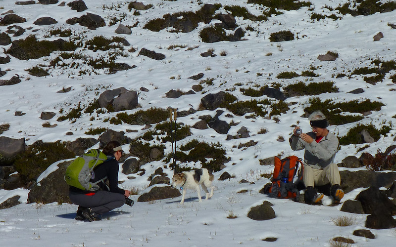
Steve examines the trailhead map, where Cougar, Pine Creek, and the summit of MSH have been shot out.

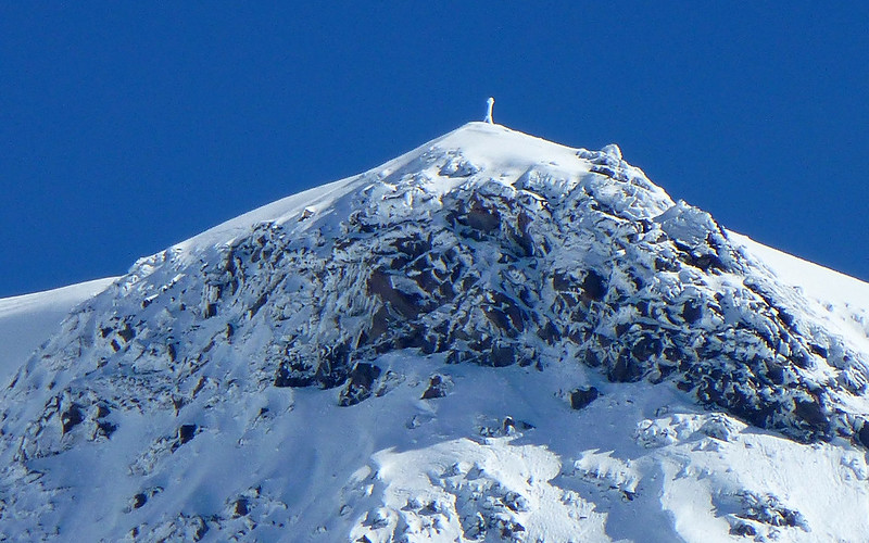
Mt. St. Helens looking spiffy in her nice new coat

Mt. Hood makes an appearance

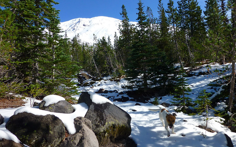
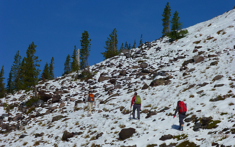
the snow starts in earnest at 4,500'

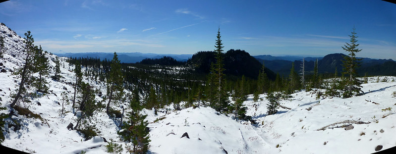
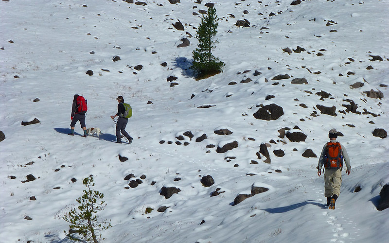
early winter wonderland on the Loowit

Karl ascends to the Loowit

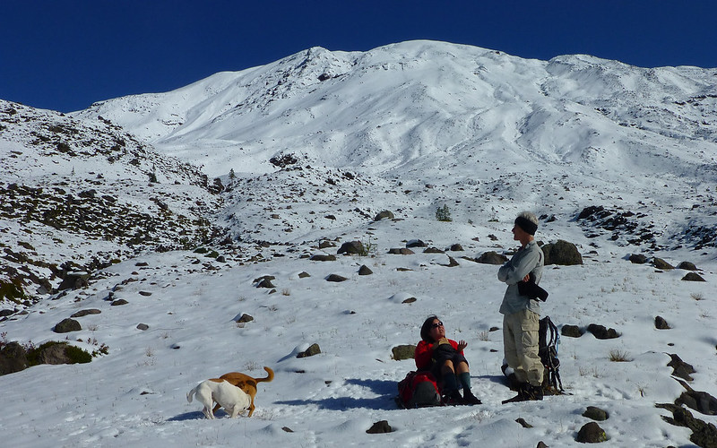
lunch on the Loowit

Kam's all-weather setup (Chacos, alpaca socks, Yaktrax)

Karl and Mt. Hood on the Loowit

setting up the "groupie", the plural of "selfie" (a mandated photo)

Steve and Karl on the Loowit

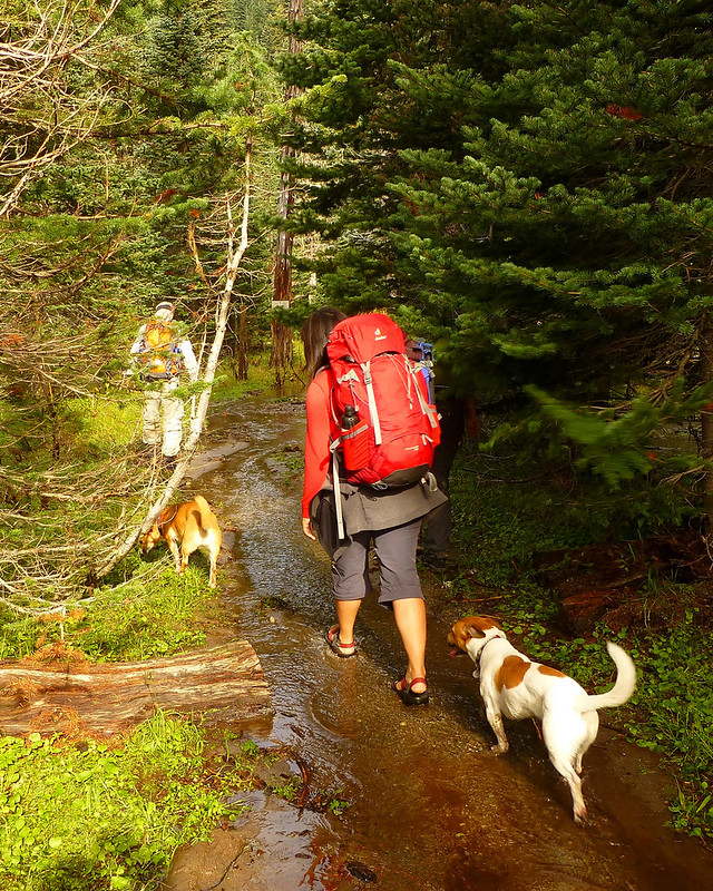
"To the bushwhack!"


and we're out!

turn left at the cactus snag

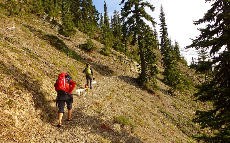
heading down the wrong trail

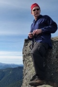
Boy, is Karl pissed about that.

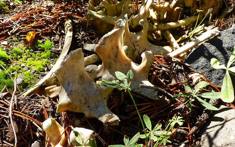
recent debris flow from Stormpocalypse 2013

Karl stomps on some salamanders (Note: no salamanders were harmed taking this photo)

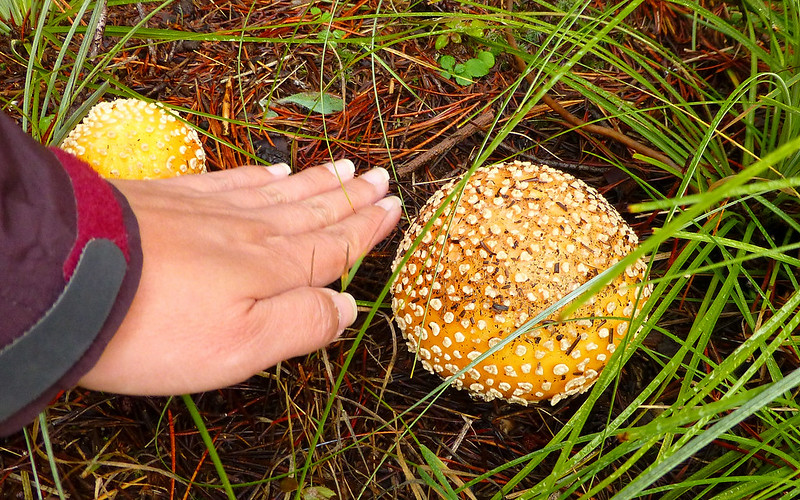
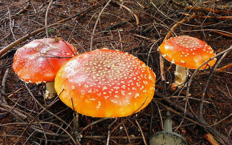
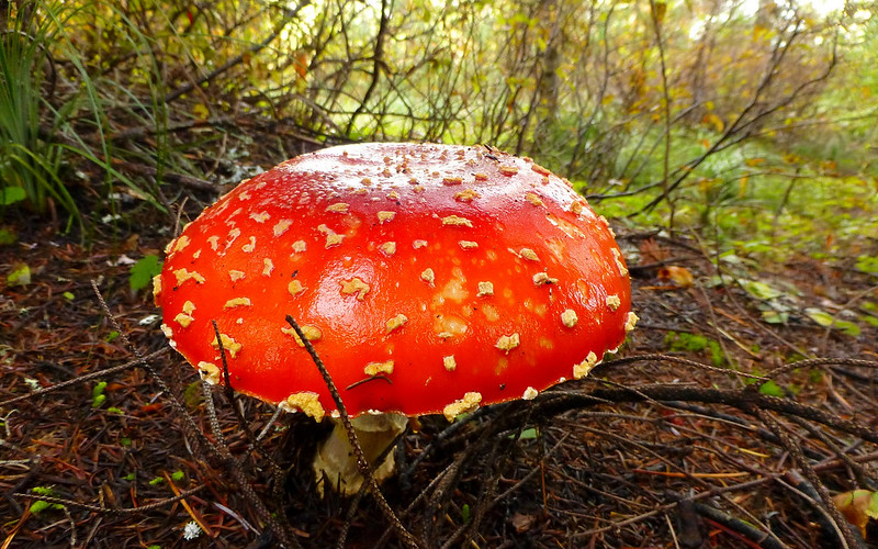
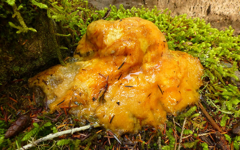
The mushrooms were out in force. This one we named "dog vomit" or vomittus caninus.

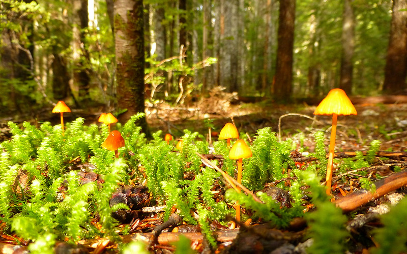
a lovely moss forest filled with mushrooms and fairies

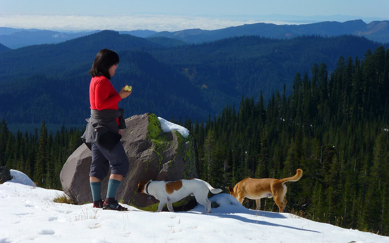
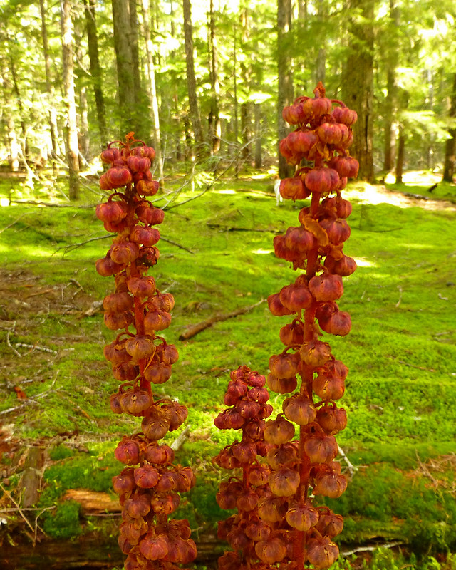
a little glimpse of fall

a good day