I thought I'd be hiking solo this weekend but Greg was able to drive out from Corvallis to join me for this hike. He met me at my campsite at Jack Creek Campground at 7:30am and off we went.
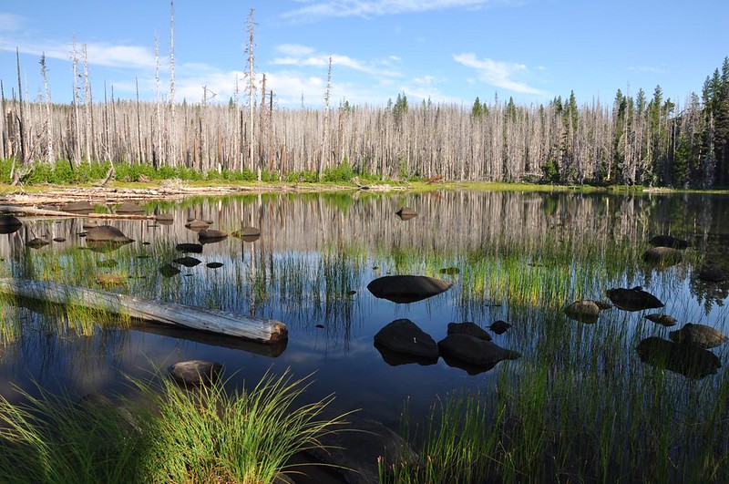
The hike starts at cute little Jack Lake. It was a calm morning and the lake was reflecting very nicely.
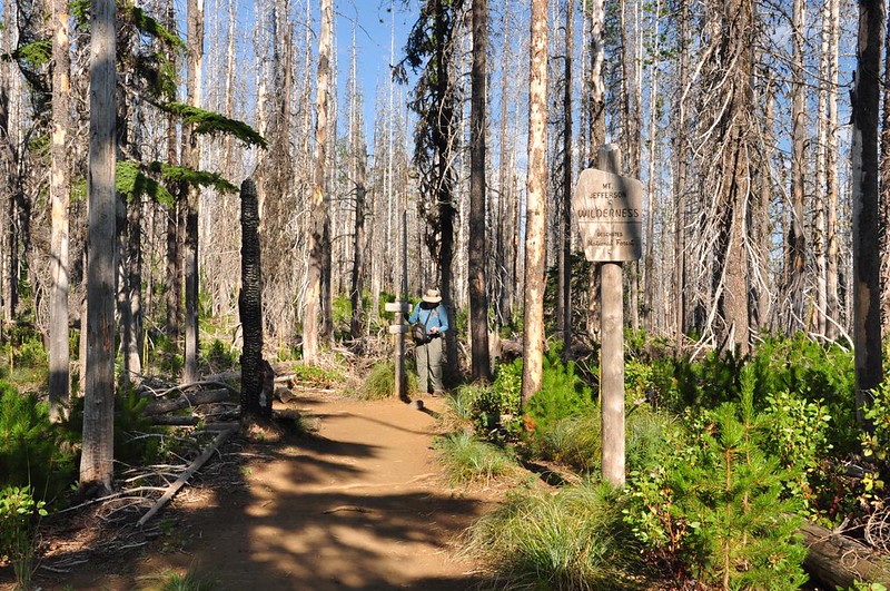
The trail soon enters the Mt. Jefferson Wilderness.
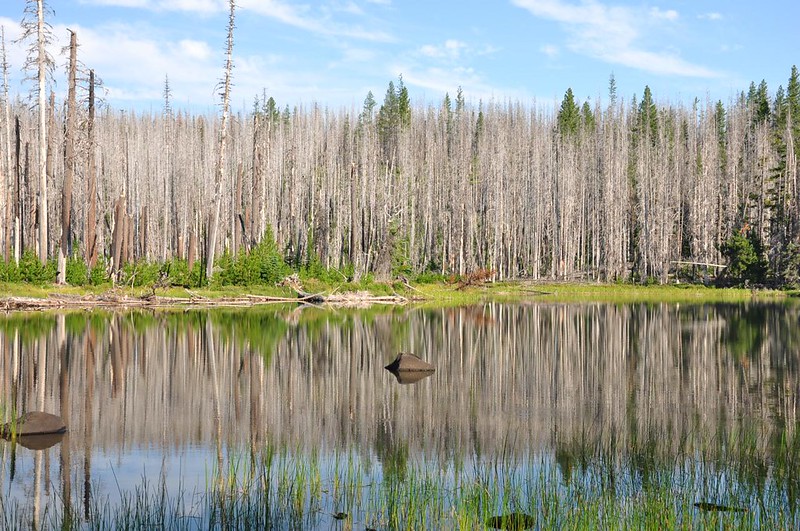
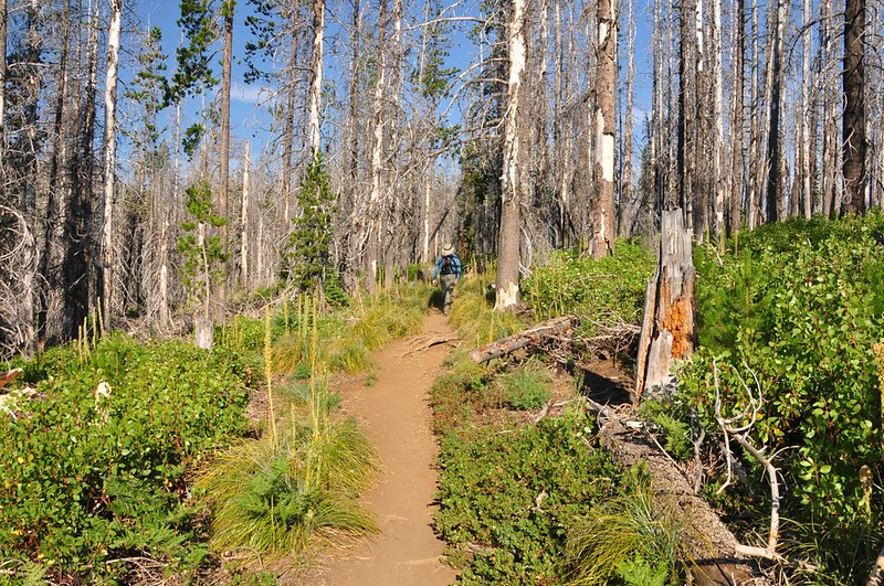
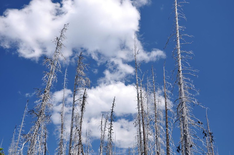
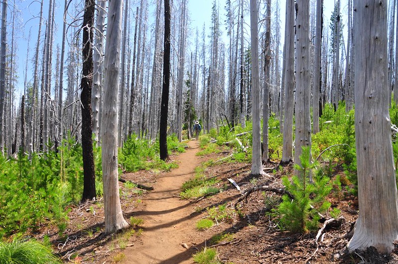
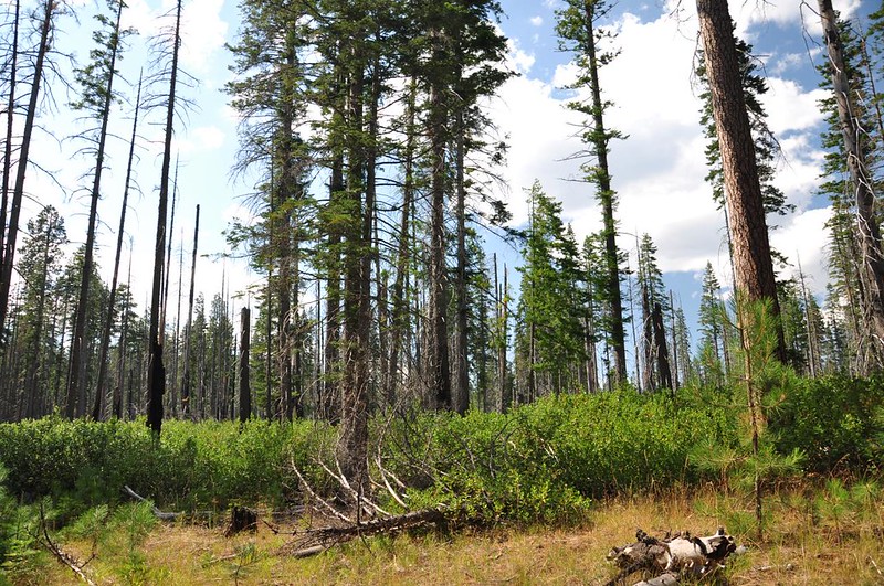
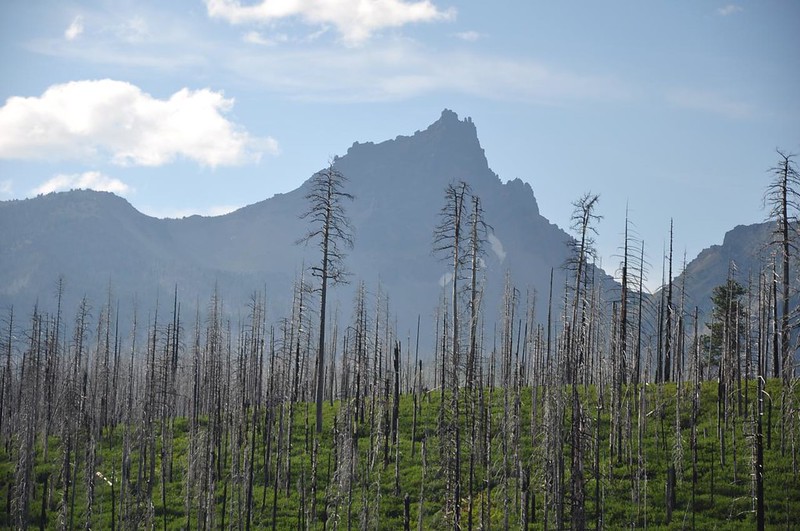
Then there is more hiking through the scorched forest from the 2003 B&B Fire. Looks like the beargrass was good here a few weeks ago.
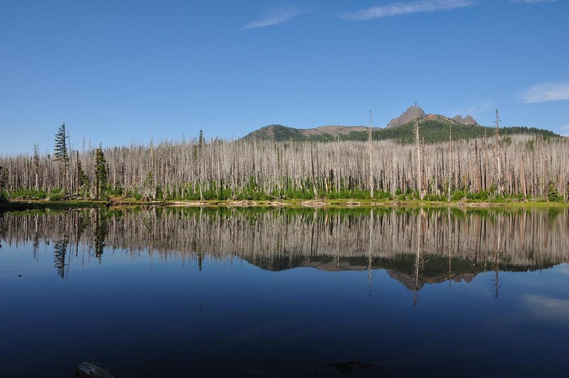
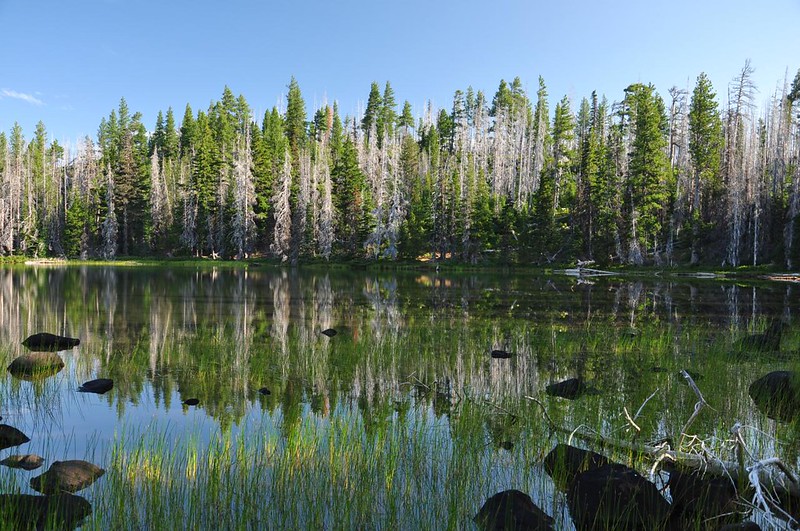
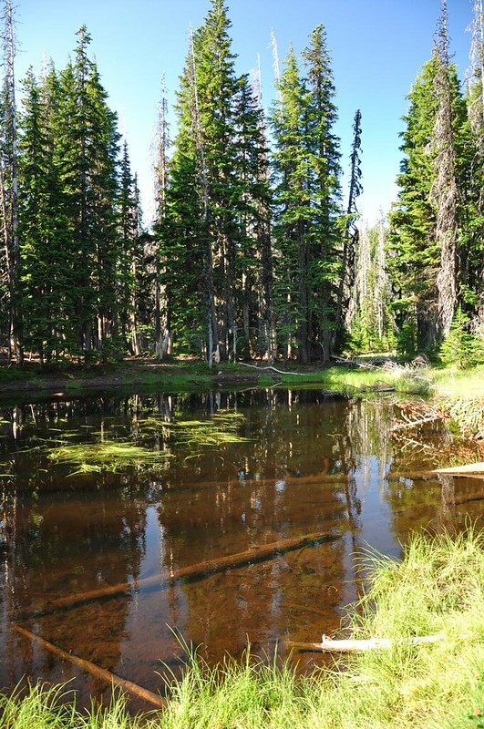
Passed a little snowmelt pond.
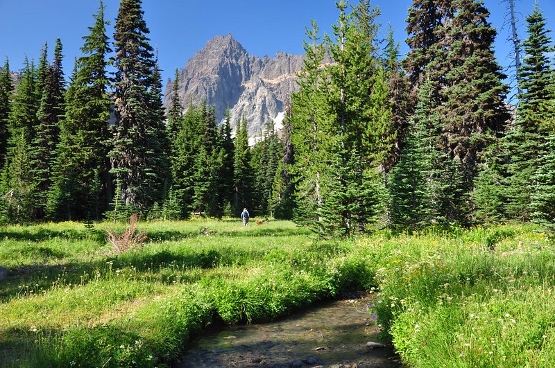
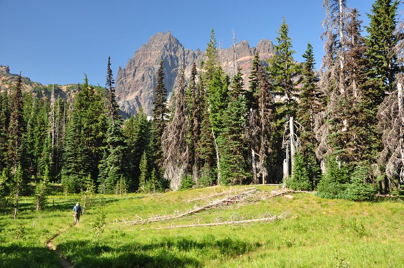
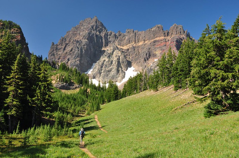
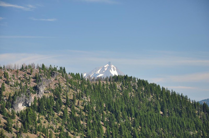
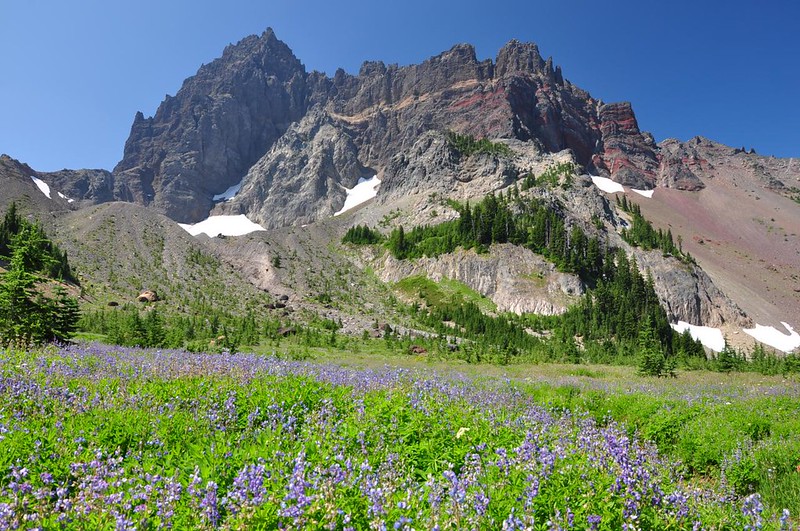
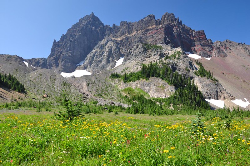
The trail entered living forest and then started passing through meadow areas where we could start to see Three Fingered Jack. Nice!
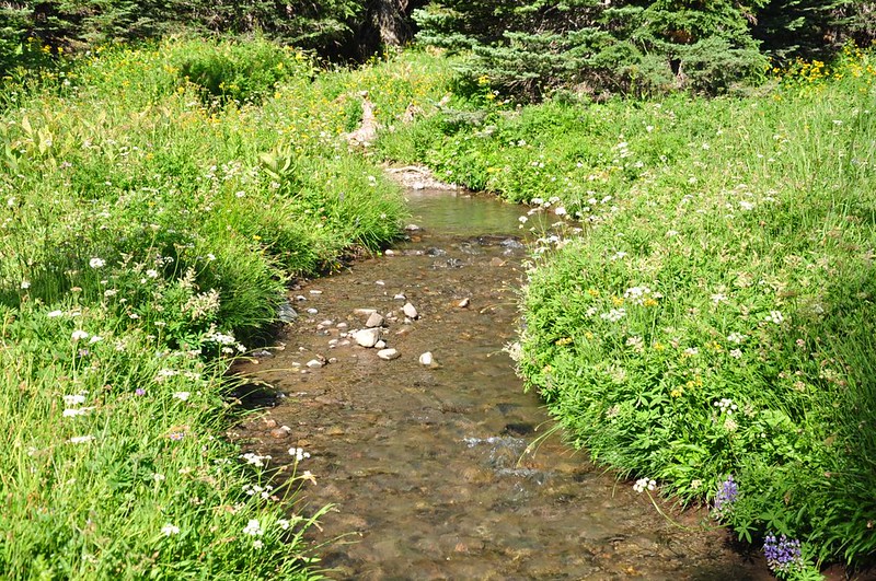
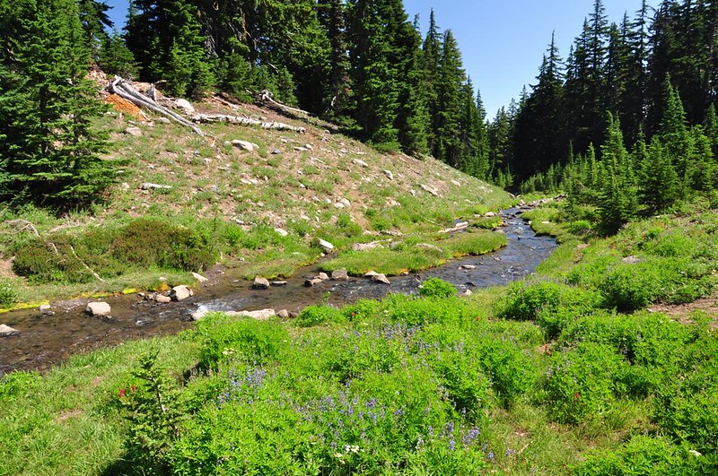
We had our first encounter with Canyon Creek. What a delightful gurgling creek! It reminded me of the little creek that flows through Elk Cove and the one that flows out of Russell Lake in Jefferson Park. I adore alpine creeks like this.
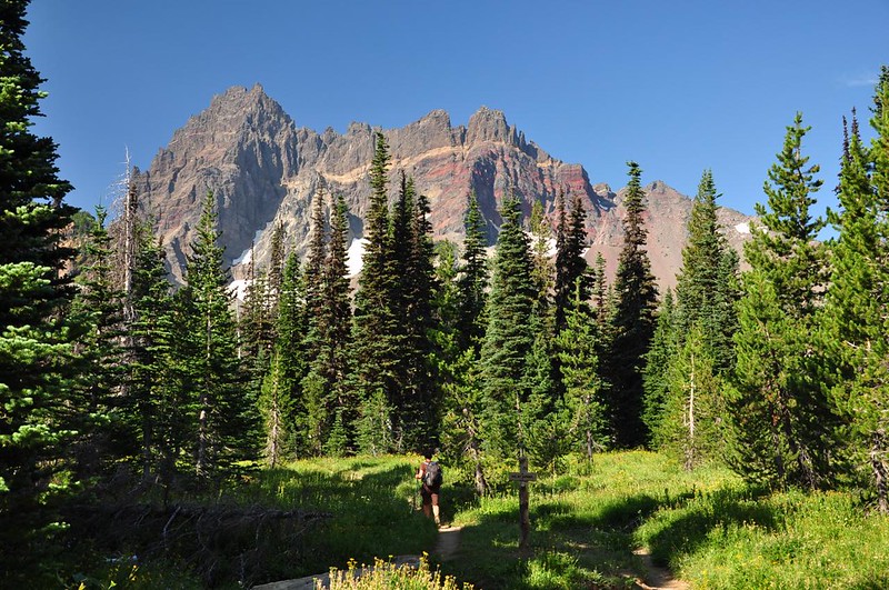
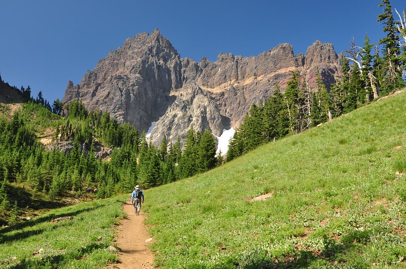
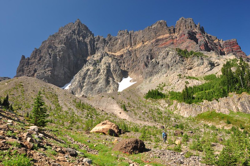
More meadows and more views.
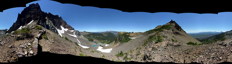
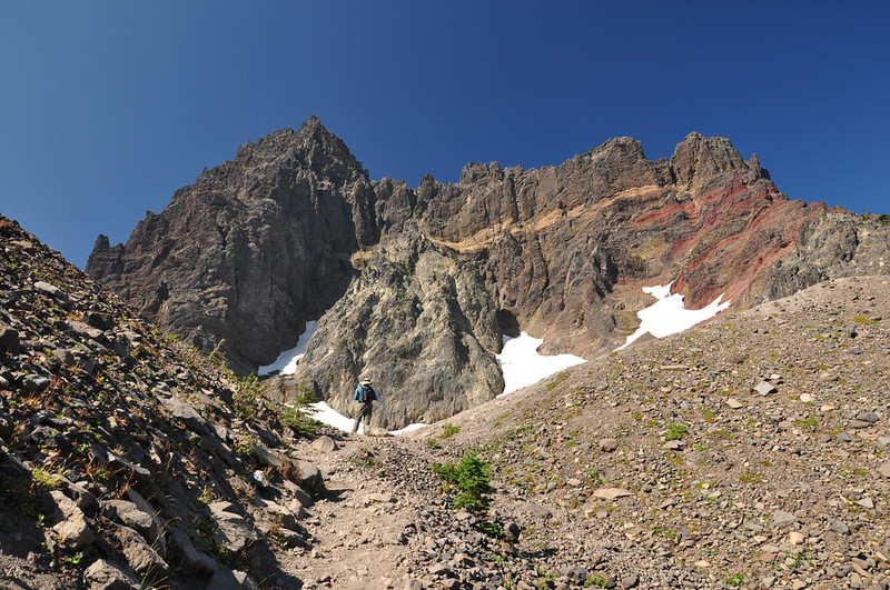
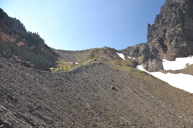
We clambered up the crumbly rocky slope to the saddle viewpoint recommended in Sullivan's book.
From that viewpoint we could see down to the turquoise melt pond. The pond and the mountain are VERY close, and I didn't bring my wide-angle lens. I had to stitch together about 10 photos to make this composite.
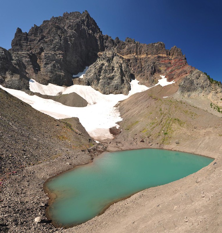
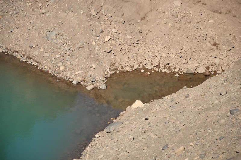
This is where the melt pond empties out and where Canyon Creek begins.
Yay, this is beautiful!

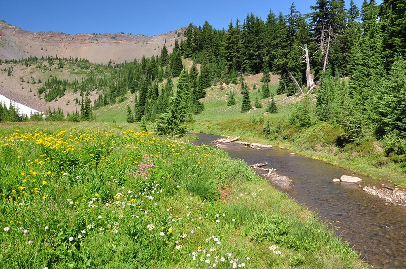
We could see down to Canyon Creek Meadows below us.
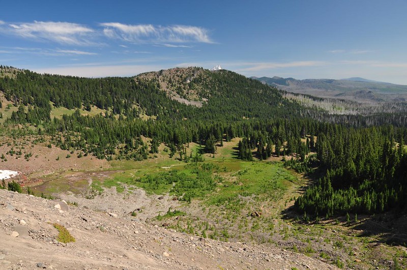
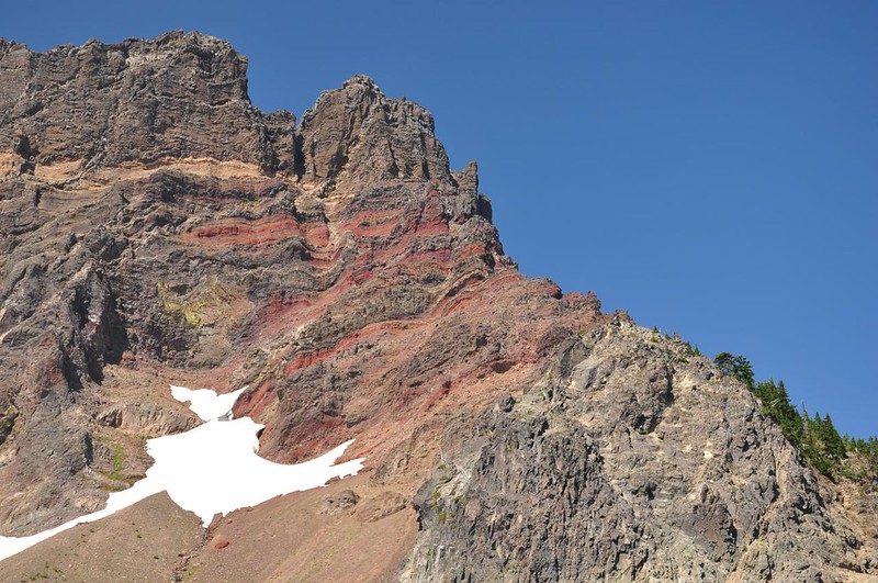
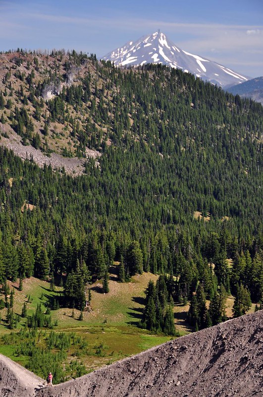
And the tippy top of Mt. Jefferson.
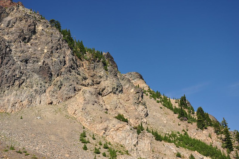
Just a small part of the devastation wrought by the massive 2003 B&B wildfire.

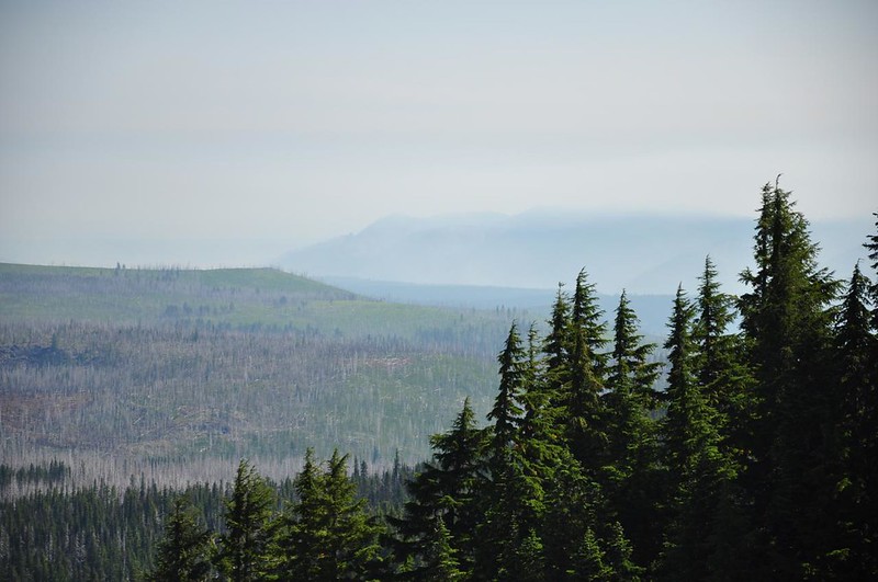
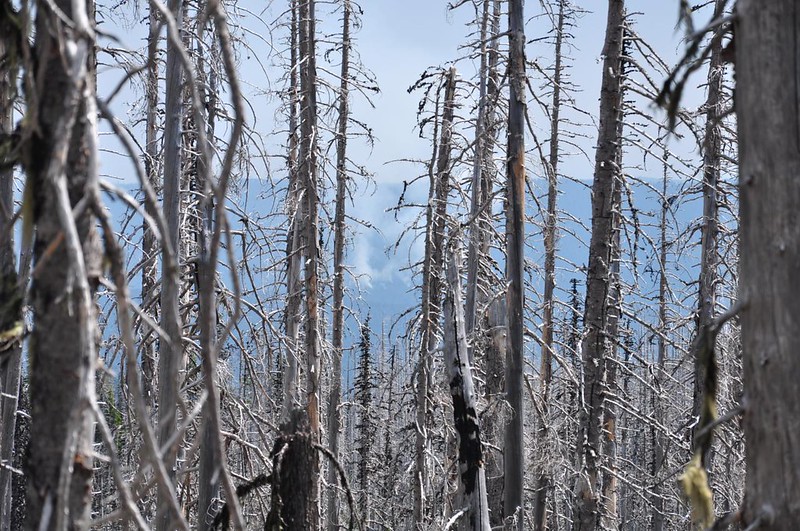
Smoke from one of the many wildfires burning now.
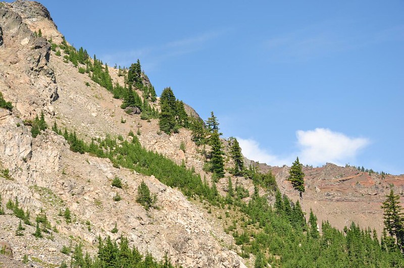
The craggy landscape just above us.
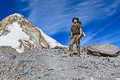
Greg, always up for a challenge, decided to go a little further up.
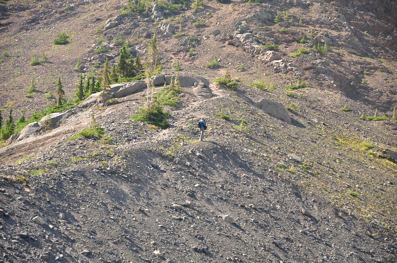
Here is one of the pictures he took way up there. Tiny me is at lower left.
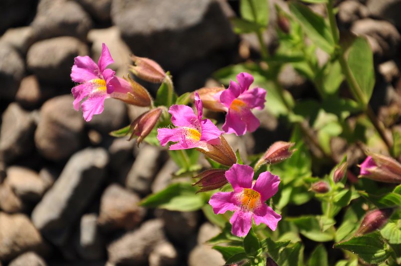
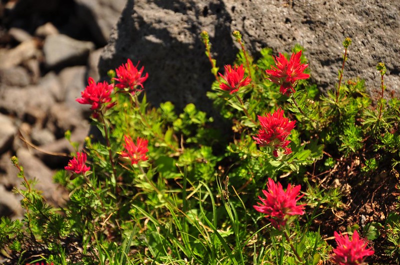
Then it was time to explore the flowers and that oh-so-delightful creek.
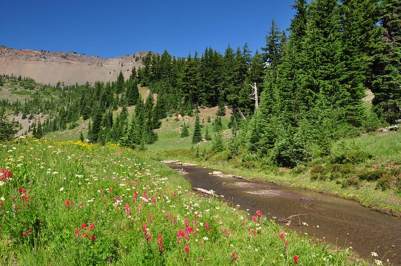
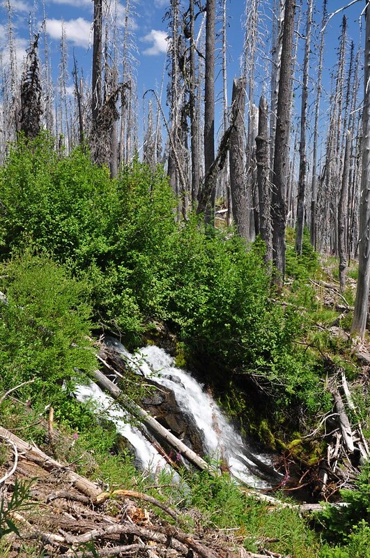
Finally after many photos and much enjoyment we started heading back. The first part of the loop trail back follows Canyon Creek, which is very nice. There is even a waterfall at one point!
But after the Wasco Lake junction there is no creek and lots of burned trees. (We didn't have time for the side trip to Wasco Lake. Next time!)
Peeking through the trees at the smoke from the Green Ridge Fire.
LOVED this hike! I will be back! There were more than 50 cars at the TH when we got back around 12:30. So glad we got an early start! As for the mosquitoes there were practically none!
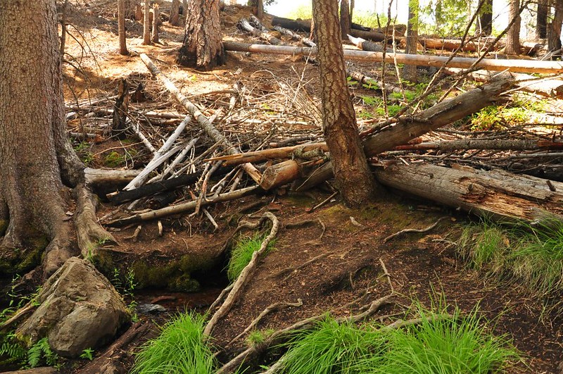
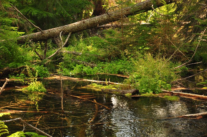
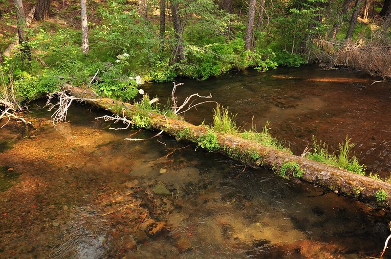
Greg had to head home but the day was still young so I explored the lovely creek that I was camped near. There is a nice trail that follows Jack Creek all the way to its source where a spring gushes forth from a hillside. It's very much like the Metolius, just smaller. As Scott Cook writes in Bend Overall, "Being a 100% spring-fed creek, it doesn't flood its channel every season to sweep away the fallen trees and limbs. Along Jack Creek the trees lay as they fall, apparently for a long, long time."
I made a video of it, but YouTube compressed the hell out of it. I need to figure out what went wrong there.
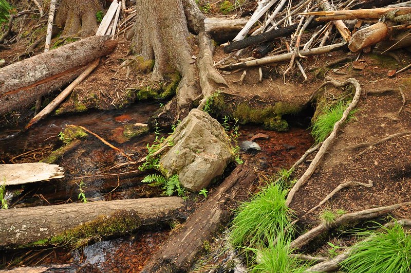
Since the video didn't turn out well, here are some photos. Here is where the spring gushes out of the hillside. Crazy!
The B&B Fire in 2003 burned dangerously close to this idyllic spot. You can see the edge of the burn about 40 feet away.
Along the trail the burn is even closer.
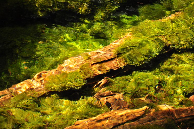
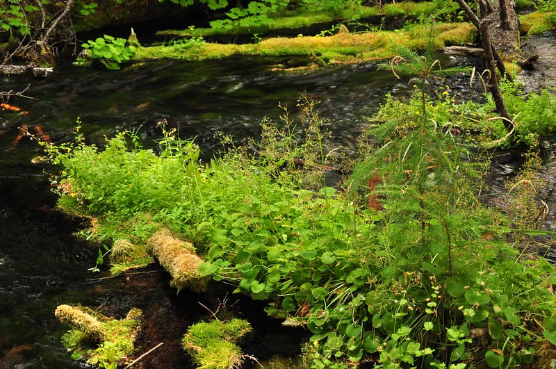
The water is insanely clear and you can see mossy things beneath the water. Above the water, moss and green plants grow all over the place. Just gorgeous!
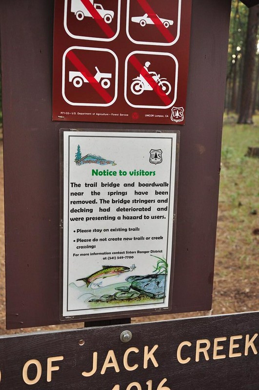
Apparently there used to be a bridge and boardwalk near the spring. Either it's been a long time since these were removed or they did a very good job of removing all traces of it, because looking around you'd never know those structures ever existed.
The advertised trail is south of the campground because that's where the spring is, but I discovered that there's a creekside trail that goes north too, from where Road 1230 crosses Jack Creek. It's very well-defined, definitely more than a game trail. I followed it for about a quarter mile before turning around, but I could see the trail kept going. I wonder how far it goes?
At this point I had a decision to make. Friends were getting together at a karaoke bar that evening to celebrate the recent Vegas wedding of one of my friends. Should I pack up and head home to attend? Sitting by the enchanting gurgling Jack Creek on this gorgeous day, it was hard to picture myself in a loud karaoke bar five hours later. So I stayed.
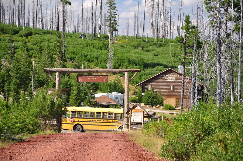
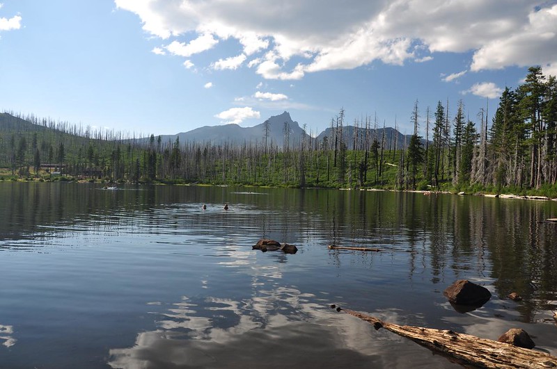
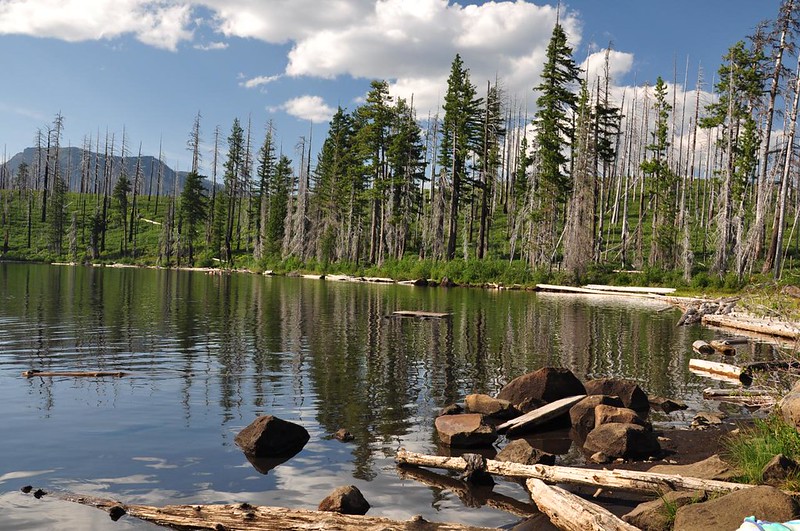
I decided to drive down to Round Lake to have a look around. According to my old Mount Jefferson Wilderness map (it's got an orange cover, not sure of date), the trailhead at Round Lake is on the east shore. I wasn't planning to hike off towards Square Lake, but was hoping for a short amble along the shore of Round Lake. But I never saw it and found myself over on the west shore where the trailhead is now located. The road ends at the Wilderness Lakes Retreat, which is private.
The road was not close to the shore here and there was tons of brush anyway, so I drove back over to the east side and found a very primitive campground with a tiny bit of lake access.
Got lots of walking in that day, so I called it a day and settled down with my book in the campground for the rest of the evening. Good times!