First up, contrary to the FS and Doug Lorain, the Starway Trail is easy to follow from beginning to end. In my opinion the new guy on the block, Matt Reeder, has the most accurate description of the 3 - see Off the Beaten Trail hike #8. Clearly some people in the past 2-3 years have gone up there with some loppers and cleared trail - that said, easy to follow does not mean built to any kind of standard other than use trail and it is still a challenging hike. If for some reason a hiker can't find the trail the route is literally festooned with yards of orange ribbon.
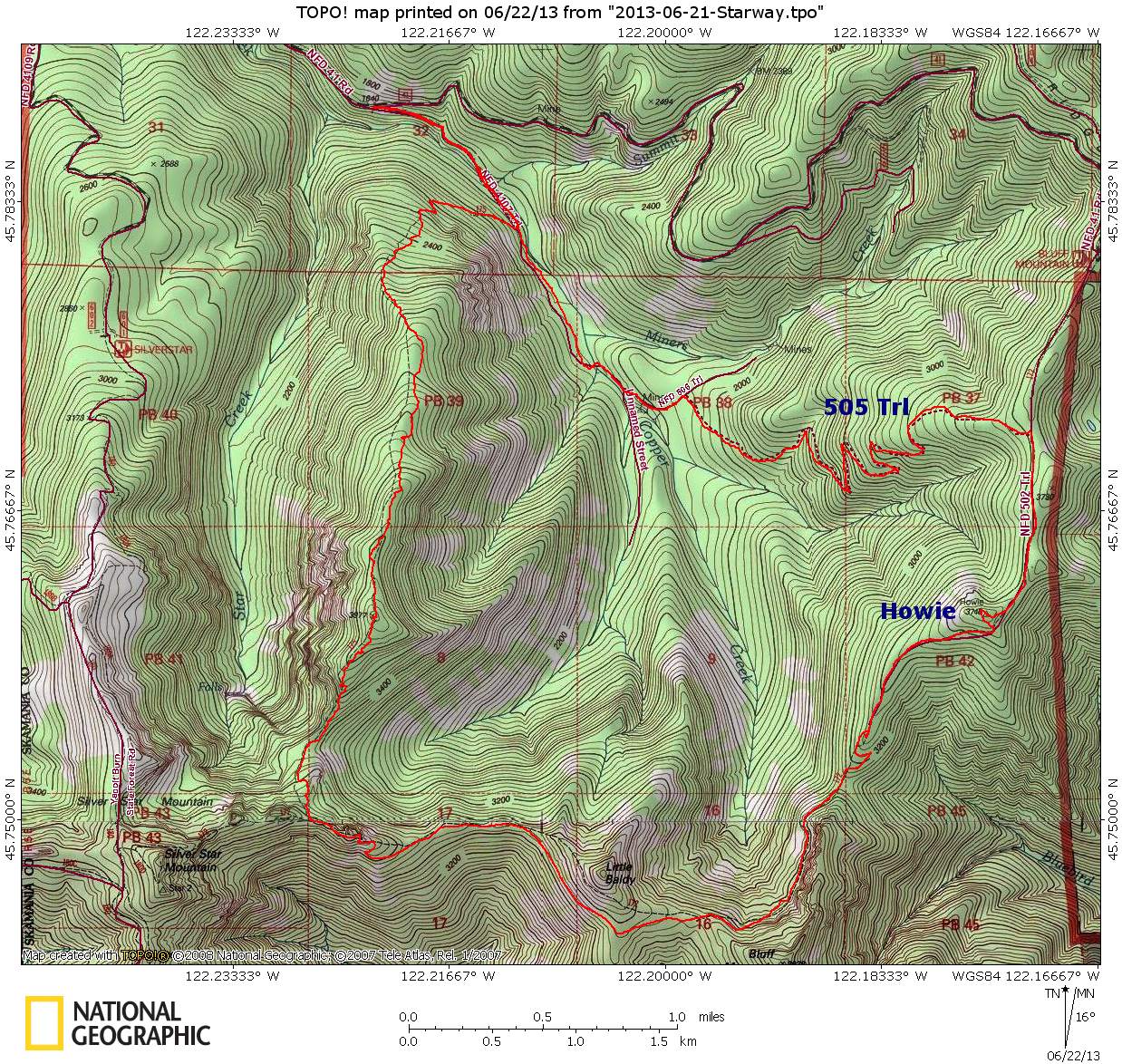
The plan was to go up the Starway, tag Silver Star, then down the Bluff Mtn Trail to visit Howie the Benchmark and then to find just what is up with that crazy trail/road or whatever that branches off Bluff Mtn Trail east of Bluff Mtn and switchbacks its way down to the road that parallels Miners Creek. On the latter a working trail there would make a nice loop with the Starway/Bluff Mtn trails and one would not have to negotiate the 41 road back down to the Starway trail head.
Lets get started:
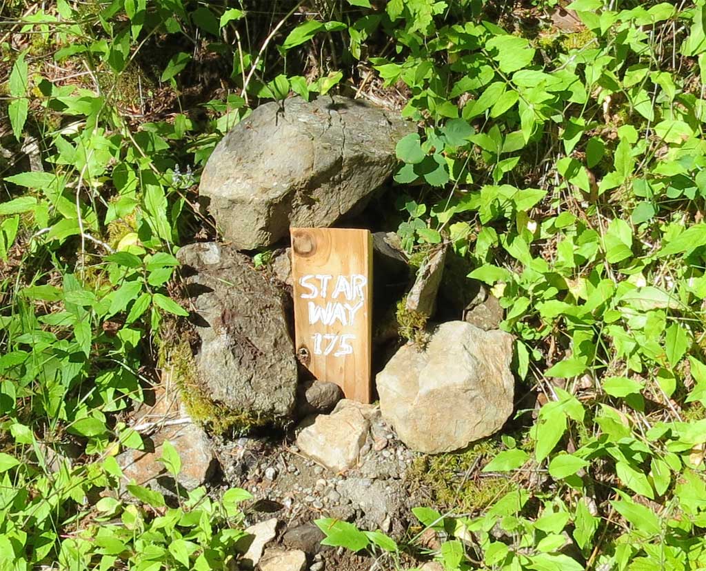
The Starway now has a marker at the junction of the Starway and the 4107 Rd.
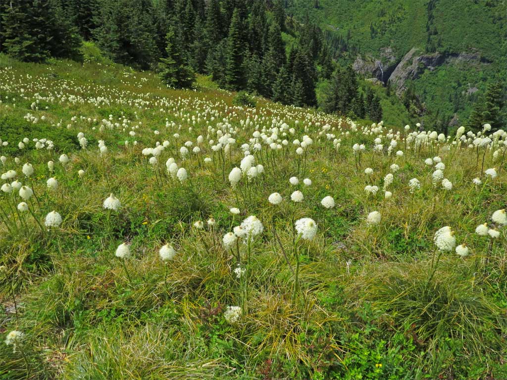
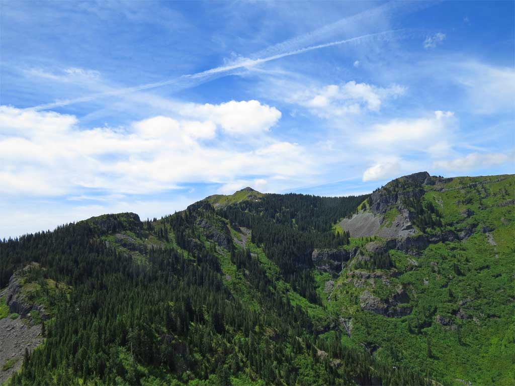
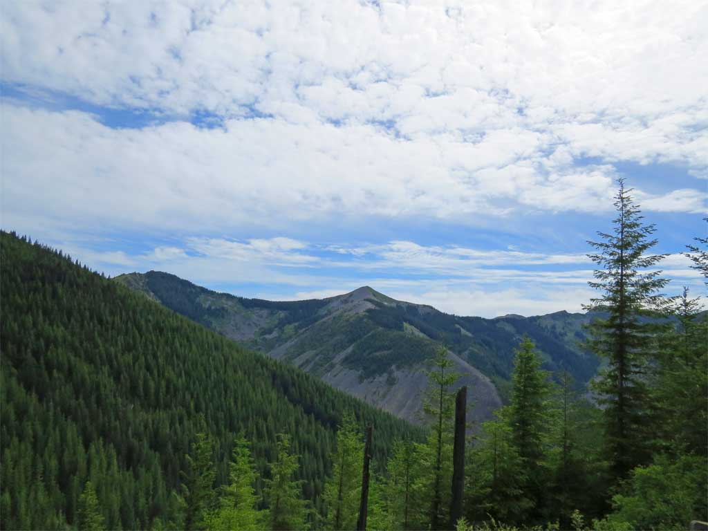
After much huffing and puffing up the old jeep track to get to the ridge line proper I landed in the meadows and viewpoints unique to the Starway.
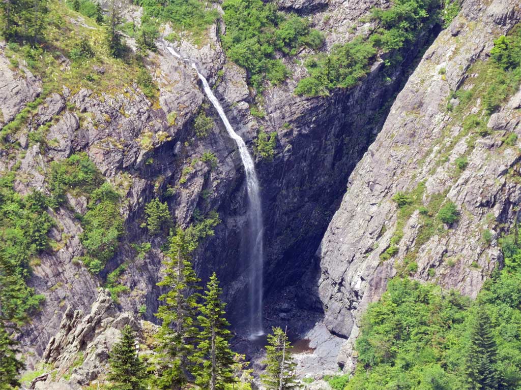
Star Falls
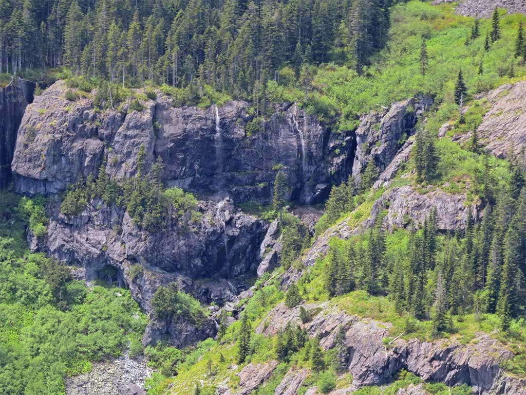
The Twins were just dribblers at this point:
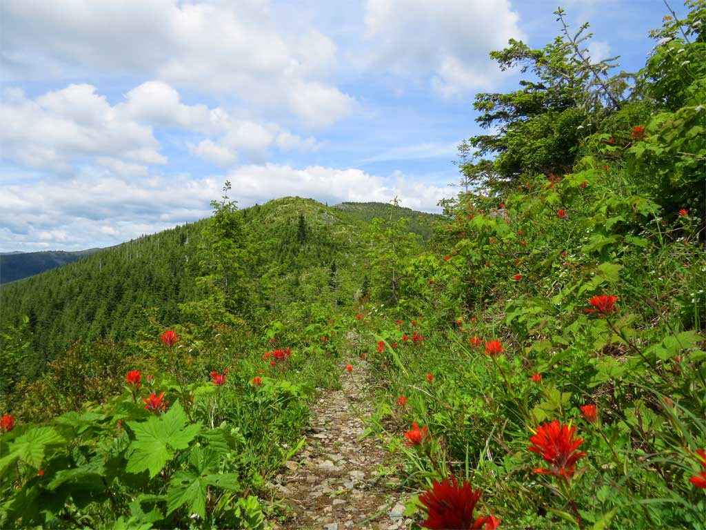
In the meadows along the ridge - Beargrass, Beargrass, and then more Beargrass:
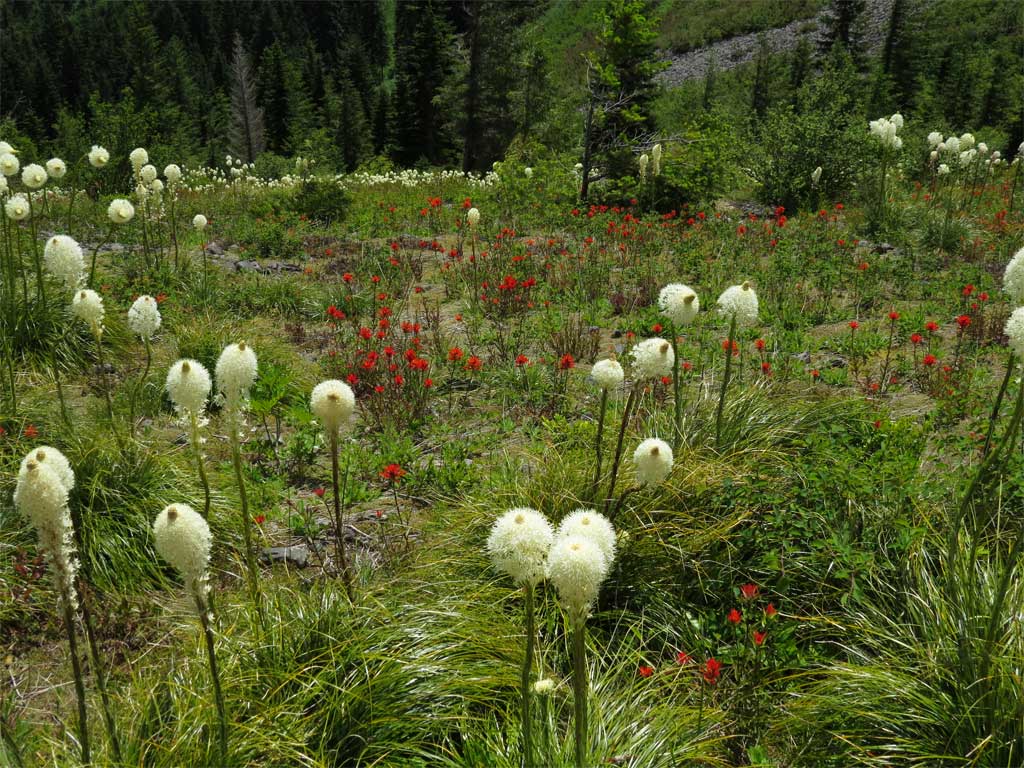
So much beargrass that the paintbrush had circled the wagons.
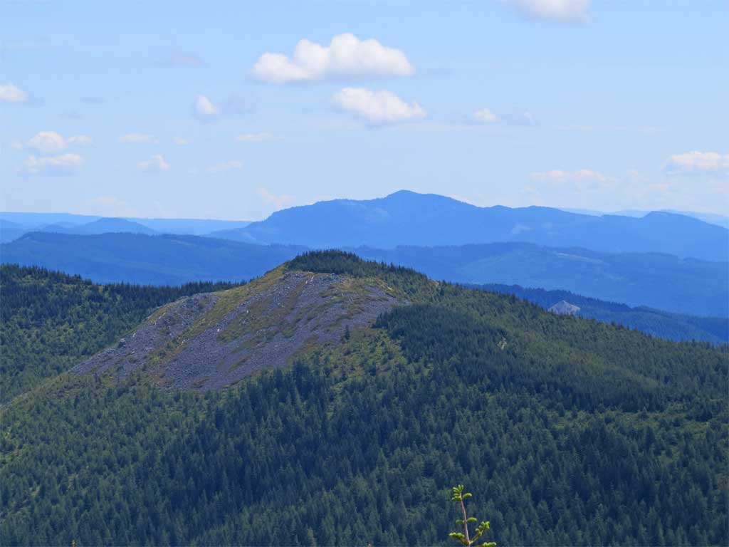
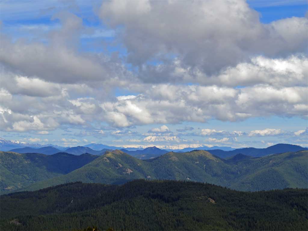
Interesting angles on familiar peaks.
From the Starway I could see the little hill Howie the Benchmark is supposedly located:
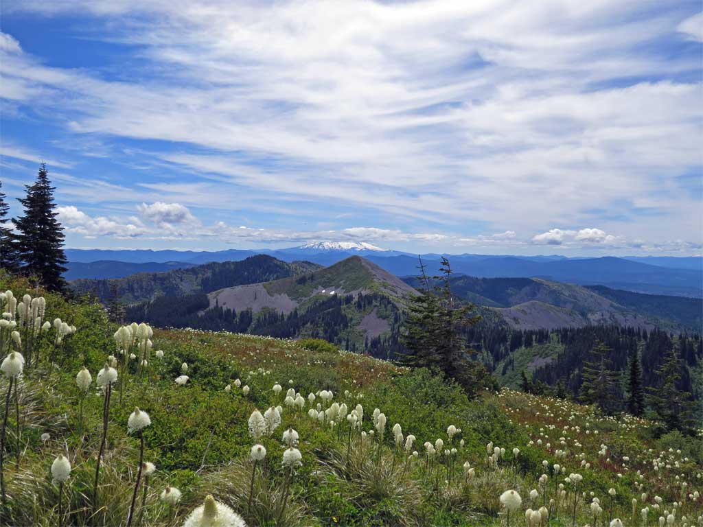
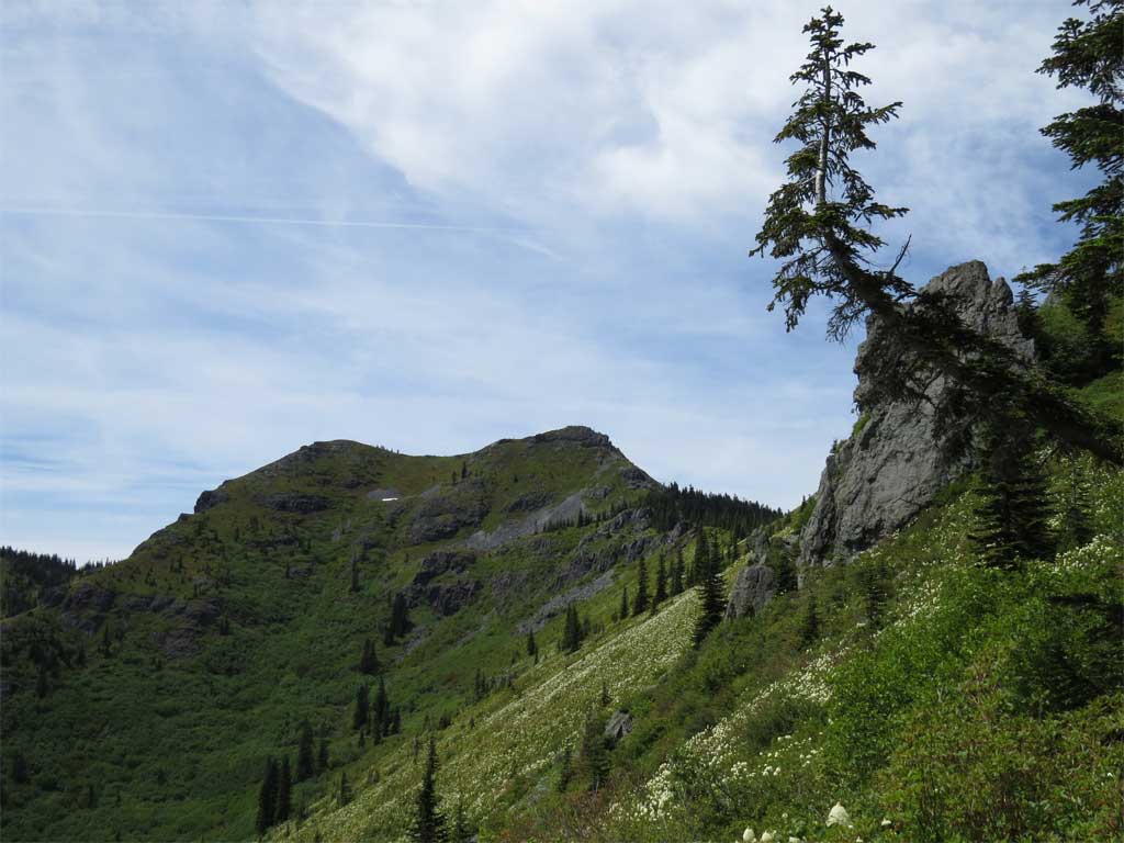
I made the Bluff Mtn Trail and considered tagging Silver Star:
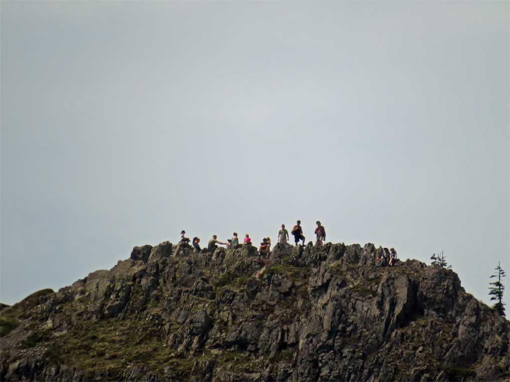
But the 50x zoom showed the summit was standing room only so I declined:
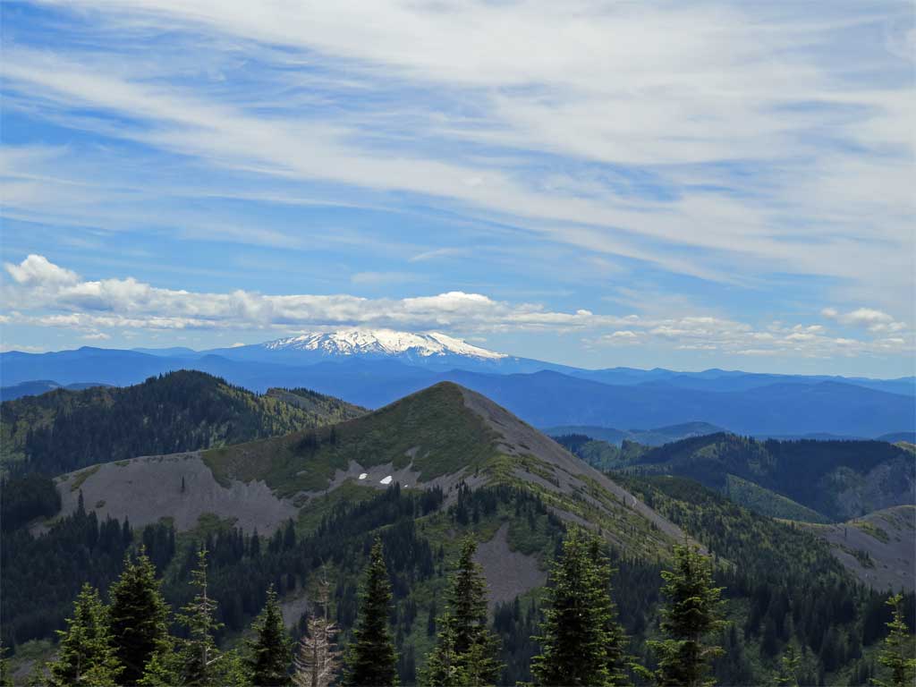
From Bluff Mtn Trail a partially obscured Mt Adams. I think the near peaks are Soda Peaks and Bare Mtn.
[edit] Bzzzzzt - wrong, the mountain is St Helens and the foreground peaks are the Tatoosh Hills. [end edit]
On the way to Howie the Bluff Mtn trail was a thing of beauty with a parade of flowers most of the way.
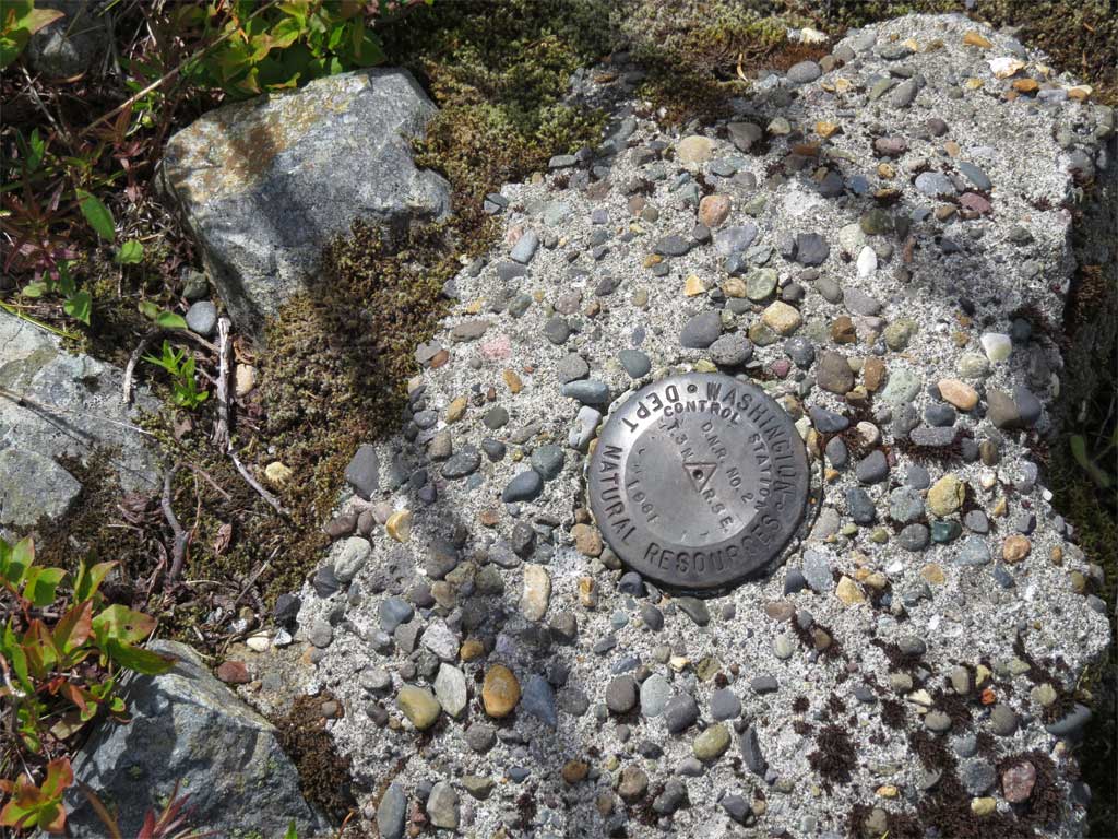
I made it to Howie but I was crushed to find no named Howie benchmark but some crusty old DNR thing, very disappointed. Maybe Howie is there but hiding in some brush.
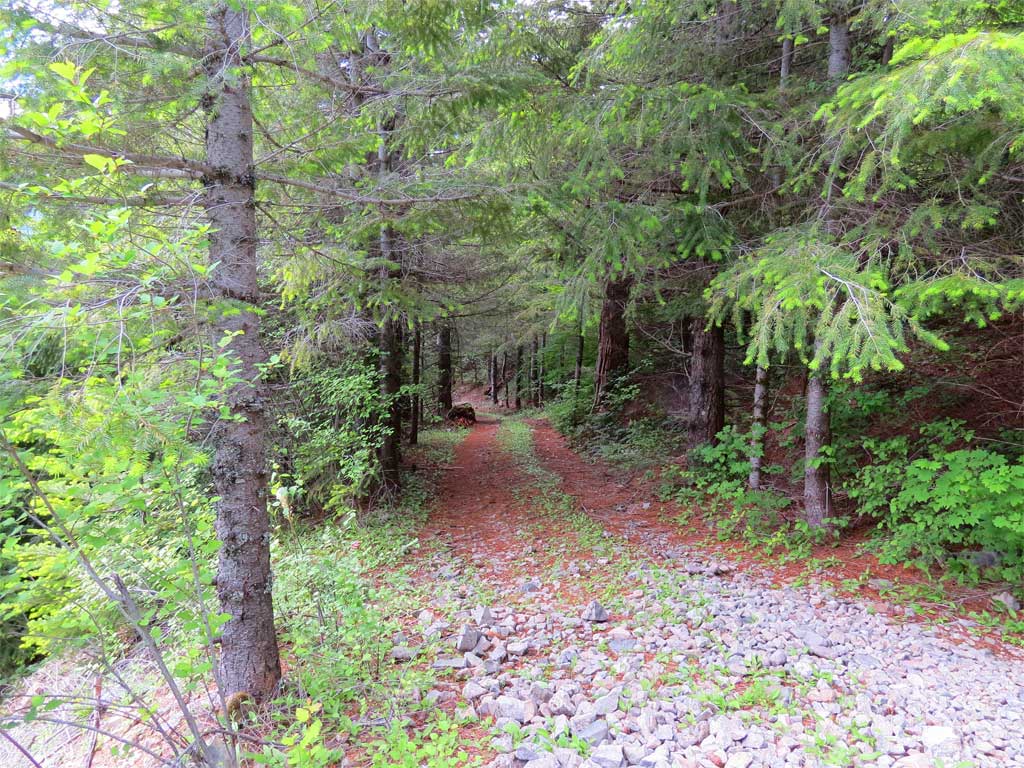
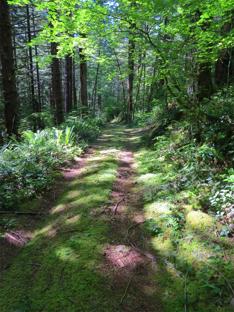
Once past Howie, next up was the 505 Trl or whatever. I did not expect much here and had pretty much resigned myself to walking back on the 41 road to the Starway's trail head. But I was pleasantly surprised to find very nice forest road. Bermed at the beginning but the 4x4 folks have done a route around - but still I saw no evidence that this road is used much even though it is in great shape. And it is a road, not a trail. Easy to follow all the way down to the connection with the road along Miners Creek. The only problem is an unbridged crossing of Copper Creek which never gets too big - mid-spring might require a ford. I rock hopped across with dry feet and then headed back down the road to the trail head.
505 Trl/road
On the way down some nice views:
Further down you get moss rather than rock to walk on.
Great day, 13.3 miles, ~3600' cumulative elevation gain, 7+ hours (of which about 2 were spent taking photos).
[minor edits for spelling and grammar]