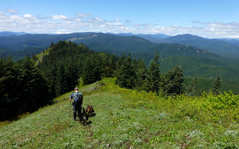
We continued on another 1/4 mile or so, nearly bushwhacking, over to that next knob in the foreground.
The view from there was just awesome! I don't recall many TRs reporting just how great, actually. More on that below.
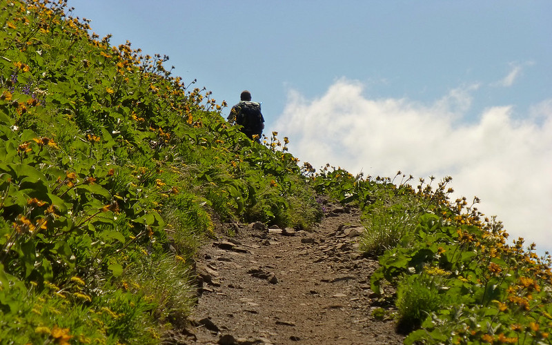
We went up the "less difficult" outer trail to Puppy Dog, but then bypassed the actual run to the summit, instead just continuing north towards Augspurger. Even though it was a Friday, by the time we'd arrived at the trailhead (about 9am) almost the entire "first row" of parking was consumed. We parked at the western end of the lot. I won't say it was a highway up to Dog, but we did cross paths with a good number of folks, and the last run from Puppy Dog up was a steady stream.
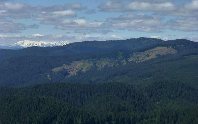
We were on the dividing line of sun/clouds at first. Pretty cloudy back in the Table Mtn area.
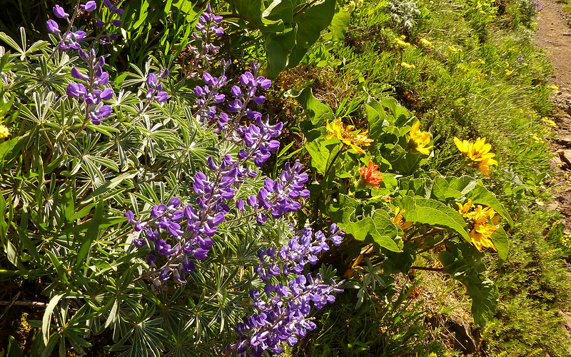
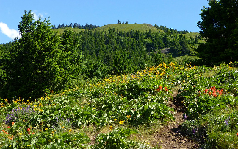
The balsamroot is still out, but definitely past peak. Indian paintbrush and lupine is strong, though.
Balsamroot is best used as part of the background, at this point, while trying to capture something else of interest.
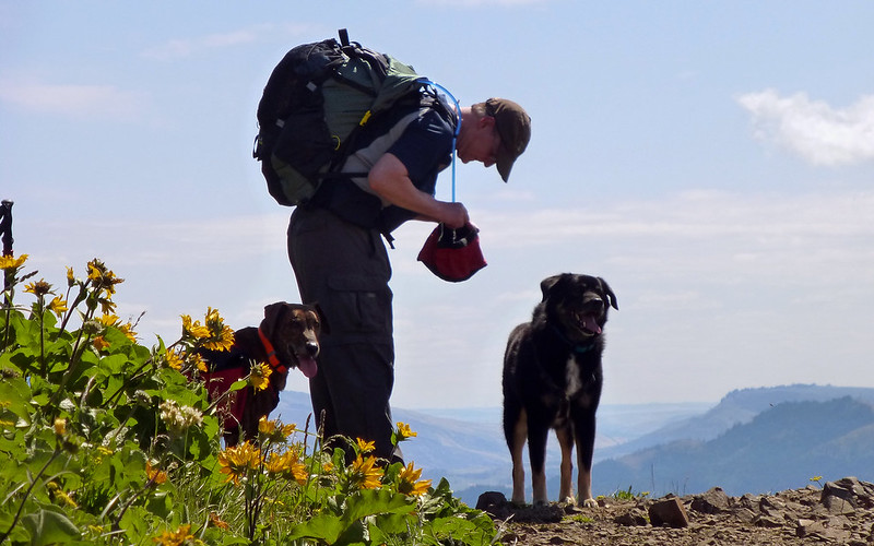
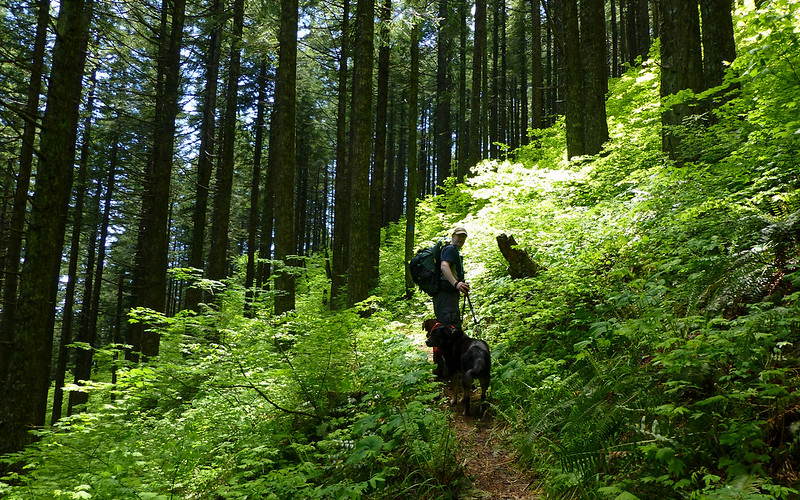
Buddy, Brad, and Timmy. Great hiking partners! This is a very dry trail, so the dogs got treated to Brad's water most of the way.
Dog Freeway! Steady stream of folks very noticeable once we got out of the trees.
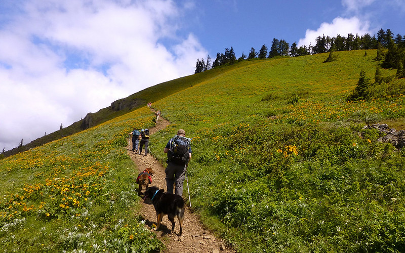
Once we passed the summit trail, we hardly saw anyone. I think one group ascending Dog in a clockwise route, and then a few groups of one or two folks as we meandered over to Augspurger.
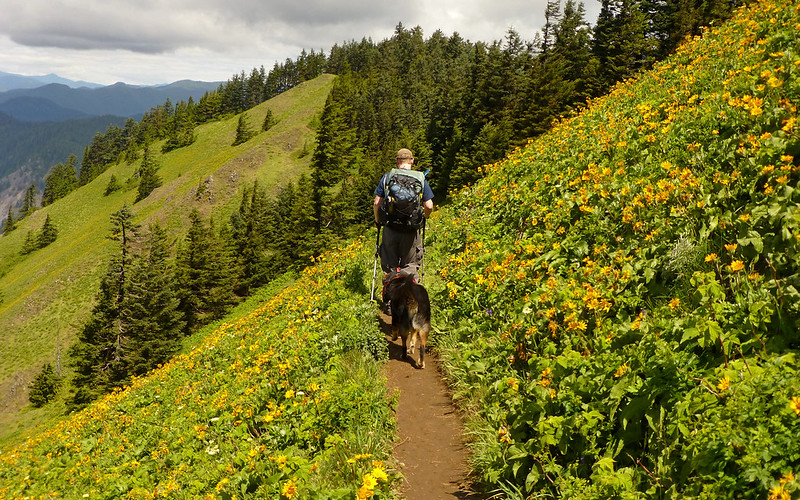
Buddy and Timmy "got it" when Brad told them to stay behind him. Amazing. Didn't bother a soul.
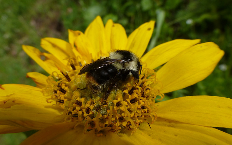
Just doin' what a bee's gotta do...
At about the 3.9 mile mark, we hit the junction for Augspurger. The trail north of here was much less maintained.
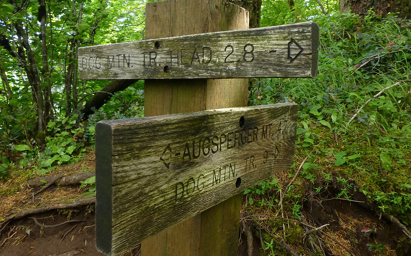
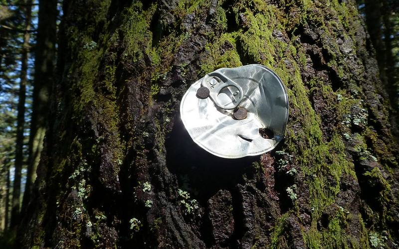
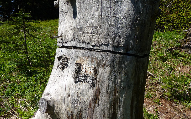
Very curious what sort of trail marker this might be? We only saw one of them.
At about 4.5 miles, the trail hits an old jeep trail. There are some big sticks across the road to the left, which hint you should turn right here. Nothing much else, other than knowing which way to go, though. A bit farther down the road, at about 4.9 miles, you hit a powerline corridor. Here it can get confusing! If you use the NWTopos map on your GPS, you'd be inclined to think you should turn left and follow the powerlines uphill. Don't Do That! Just follow the road across the clearing, and into the woods on the other side. Some ways farther into the woods, a fairly well marked trail cuts off to the right.
I was enthralled by the forest on Augspurger. Much of it seemed to have never been harvested.
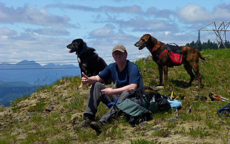
We took a break to enjoy a view made possible by the powerlines, when we re-encountered them.
From our break spot, we could see the backside of Dog, with Hood and Defiance across the river. Great cell coverage here!
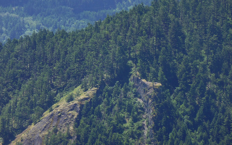
Got a good shot of the outcropping over on the trail up Wind, too. Be sure to explore it, next time you're there!
Hi!
As we were closing in on the final push up Augspurger, we came across a series of totally thrashed giant anthills! I mean, they were just ripped apart!
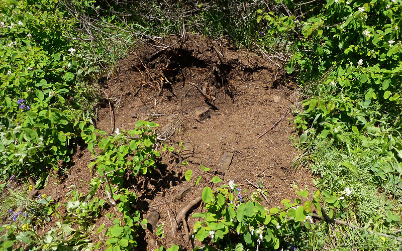
One of at least a half dozen totally destroyed anthills.
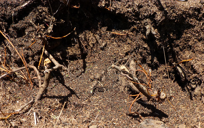
Closer view. 10s of 1000s of ants were totally freaked out. Had to keep the dogs away!
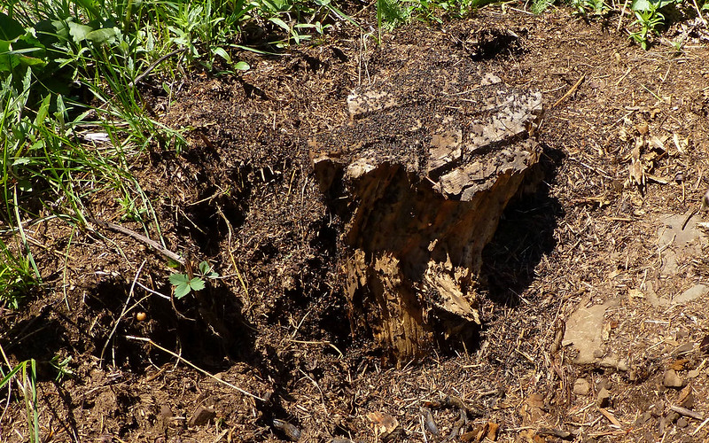
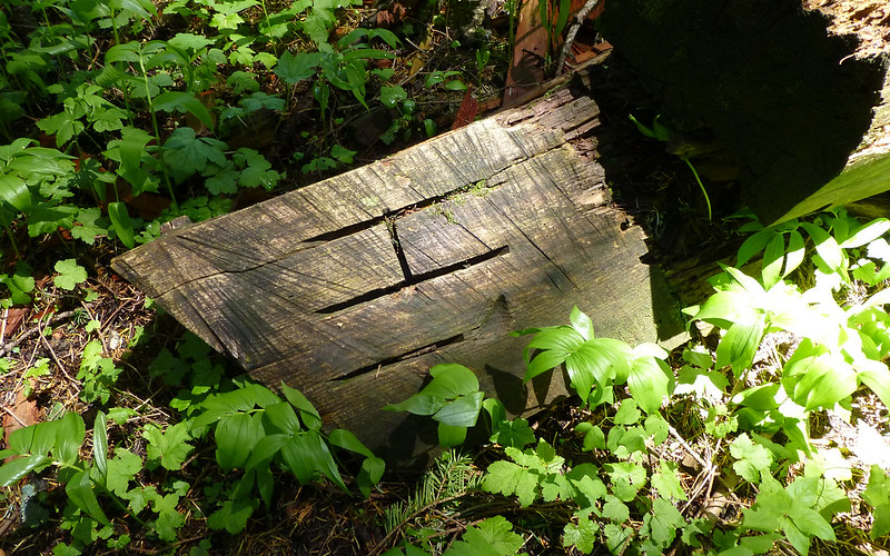
Another one of the anthills, this one apparently built around an old stump.
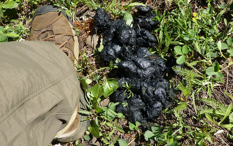
No question "whodunnit?" here! Timmy was on high alert.
Augspurger Summit! Such a fancy marker for a place not quite as dramatic as Devil's Rest.
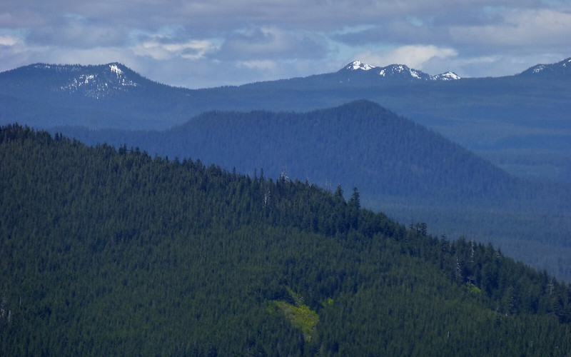
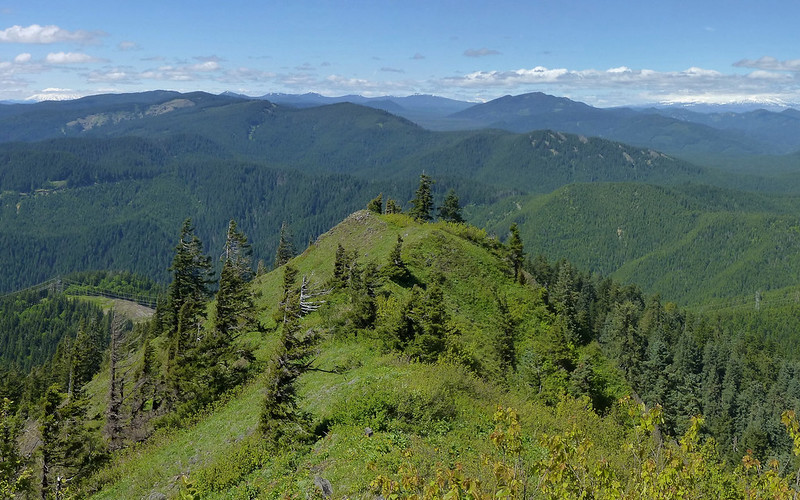
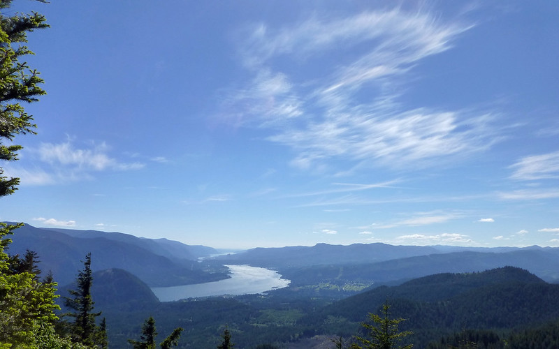
There was a clearing a bit north of the summit that offered a views, mostly to the north, sweeping from about Silver Star over to Mt Adams. We saw a knoll not too far ahead, and decided to head for that to see if we might get a bit better view. We were not disappointed!
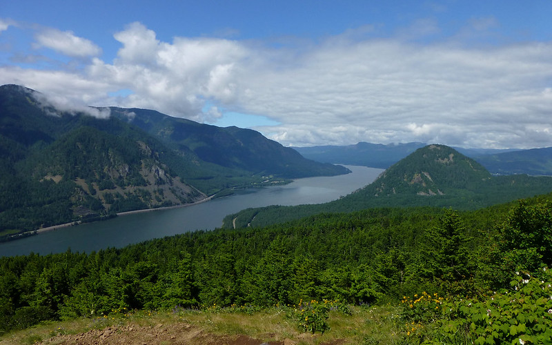
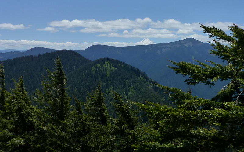
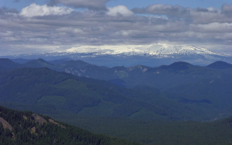
Well, it would've been even more stellar had clouds not blocked some of the biggies. We could clearly see the lower flanks of Mt Adams, and knew exactly where Mt Rainier was even if we didn't get all that great a shot of it. Mt St Helens poked through the clouds more often than not. And lesser peaks to the north were abundant. Table, Silver Star, Big Huckleberry, Little Huckleberry, the cinder cone responsible for Big Lava Flow, and many more.
We could see west to Portland through the gorge, including a wonderful perspective on the landslide that gave rise to the Bridge of the Gods legend. To the north, Mt Hood and Defiance were a strong presence. (Great cell coverage here, too!) And to the east, the Hood River bridge, the towns of Hood River and The Dalles, Stacker Butte, The Dalles Mountain, and much more. Even the windmills!
I guess I'm saying, why hasn't anyone every ooooh'd and aaaahhh'd over the views here before? Were we supposed to keep this a secret? Amazing...
Mount Adams
Big Lava Flow's cinder cone
Mt St Helens, Big Huckleberry, and Grassy Knoll
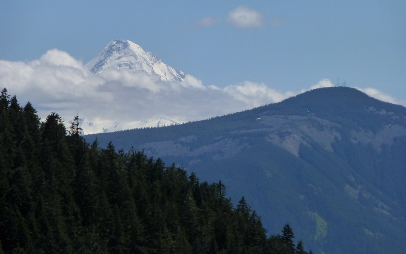
Mount Hood and Mount Defiance
Mt St Helens to Mt Adams, with Rainier just to the left of Little Huckleberry; Indian Heaven just beyond the cindercone.
On the return trip, we noticed something we hadn't on the way in. There was an opening in which a good number of trees, perhaps 8 or 10, had apparently been killed on purpose. They all had chainsaw cuts encircling their trunks about 3' off the ground. Most were now dead, but a few were still alive.
Why would someone do this? This was a bit disturbing.
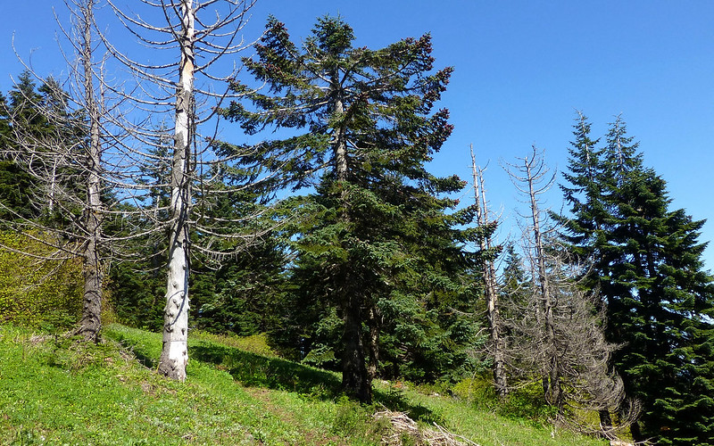
All the dead trees in this shot, as well as the live ones in the center, were cut.
I hiked the first half in shorts. But decided to convert back to long pants for the return! There were definitely portions where this was far more comfortable. In particular, large fields of salmonberry and other prickly things.
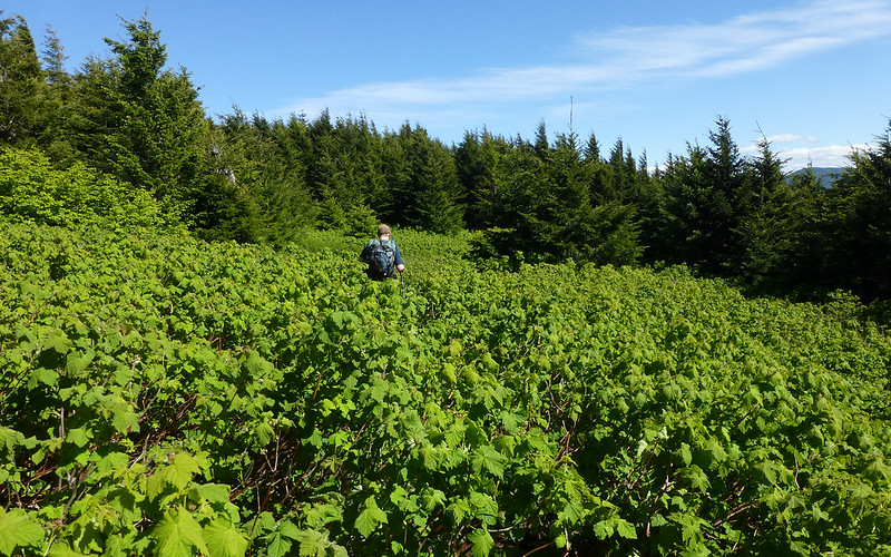
Long pants helped on the Augspurger portion of the hike!
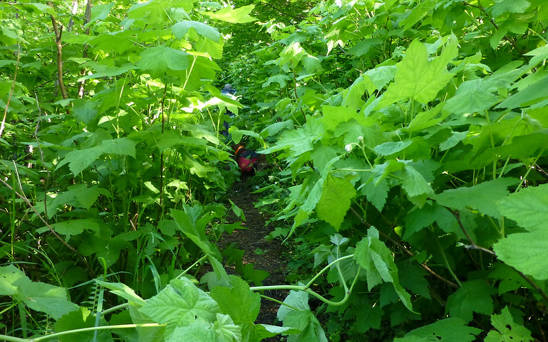
Can you see Buddy and Brad?
Well, just a few more shots along the return journey...
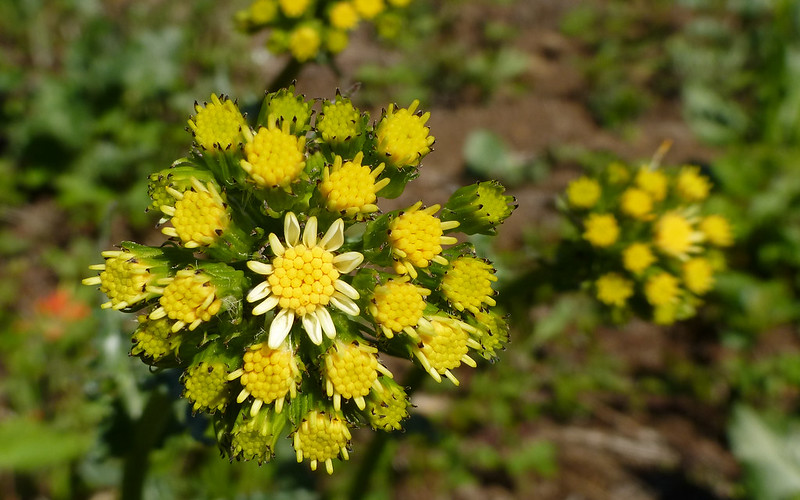
Flowers on Augspurger were really just starting to pop. This one intrigued me greatly.
The clouds had really blown away, and the temps were rising, on our return!
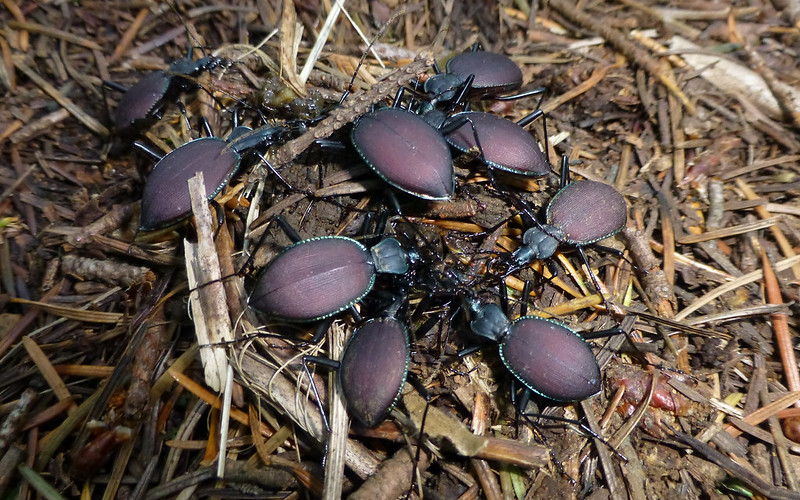
More microscopic wildlife. This group of beetles had something truly disgusting to party on.
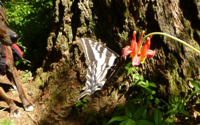
Even Buddy had to stop and take a good look at this Swallowtail!
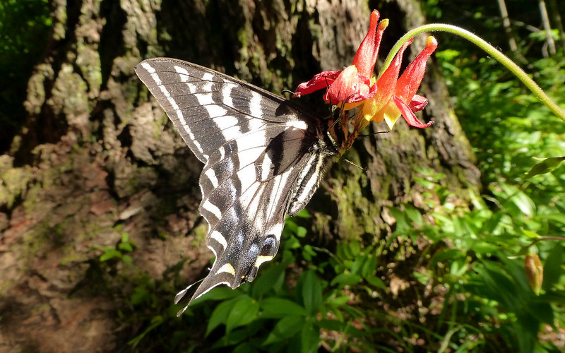
Maybe my favorite shot of the day.
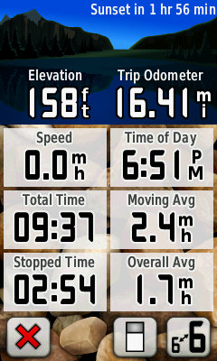
Final stats were about 14.5-16.5 miles (clean track vs dirty track vs Trip Computer) and 5700' EG.
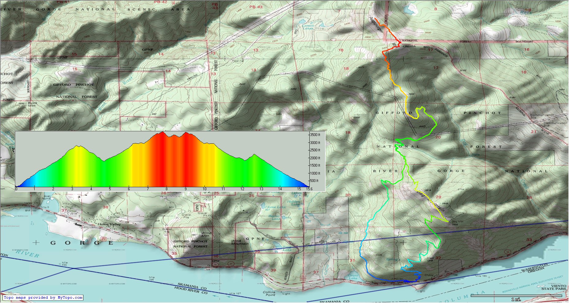
Right-click, View Image, for full-sized map.
http://gpsfly.org/gps_map.php?gps_id=2457&w=645&h=440
Don't use NWTopos/NWTrails for this! Snag my track from gpsfly, or at least study how it crosses the powerlines.
Thanks again, Brad, for coming along, and being such great company.
It truly was another fabulous day in the woods!!!