
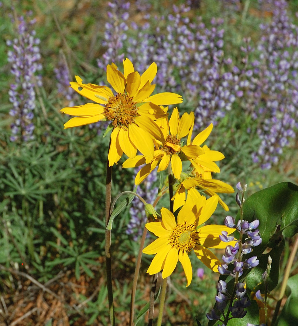
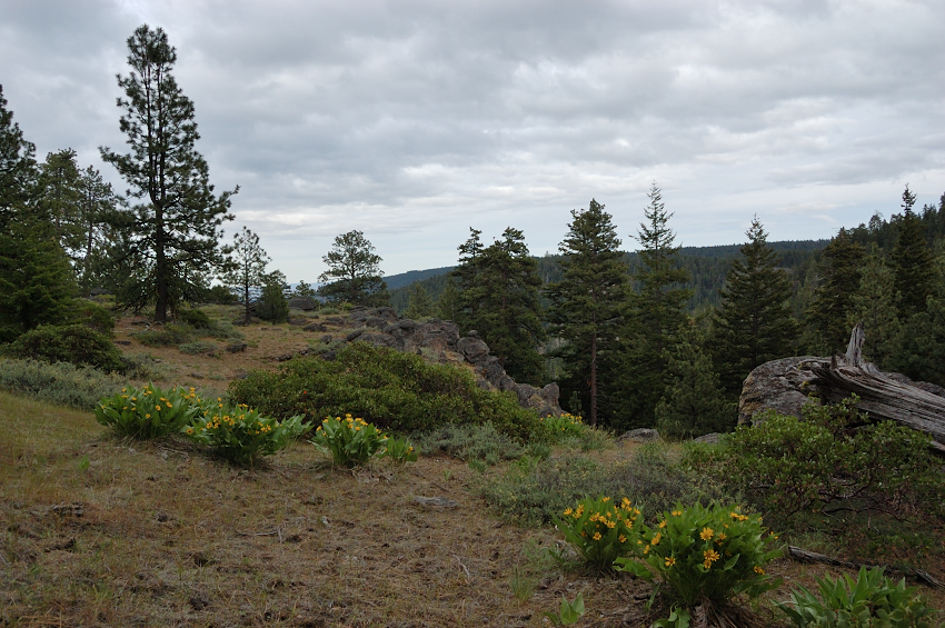
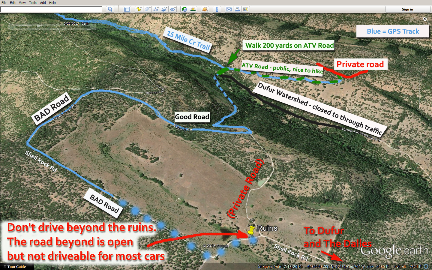
Long story short, the road I wanted to take (Upper 15-Mile Rd) had a "no trespassing - Dufur Watershed" sign about 3-4 miles before the trailhead. I went on to "plan B", over Rail Hollow/Springer Mill roads and it's been good at first, then pretty rough for 2 miles, and then much worse and my car finally bottomed out with about 2 miles to go... I broke some tire stabilization part near front wheel, and even though my car was still going good I decided not risk it and walk the last part of the road. Luckily, it was quite nice road for hiking, with tons of flowers and some views.
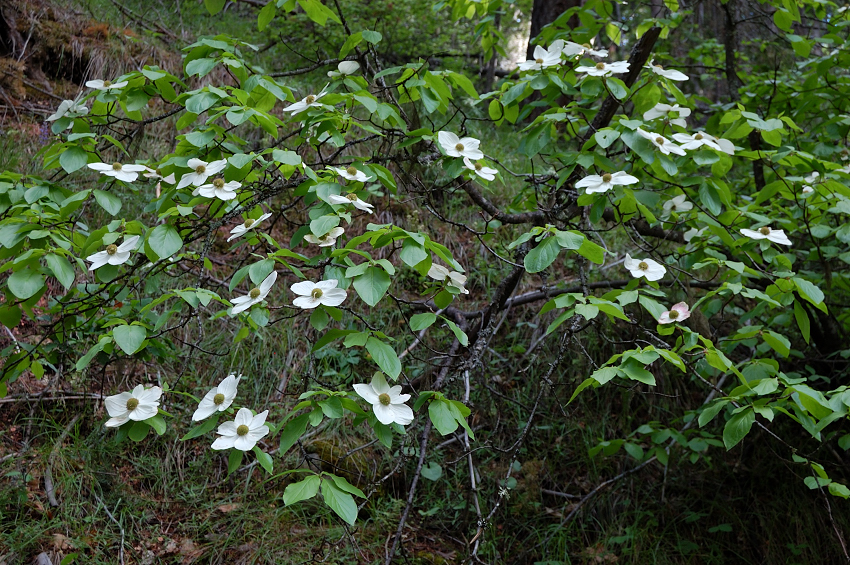
Dogwood?
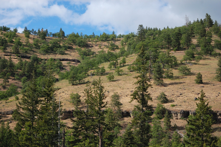
Soon, there were views of Fifteenmile Creek Canyon
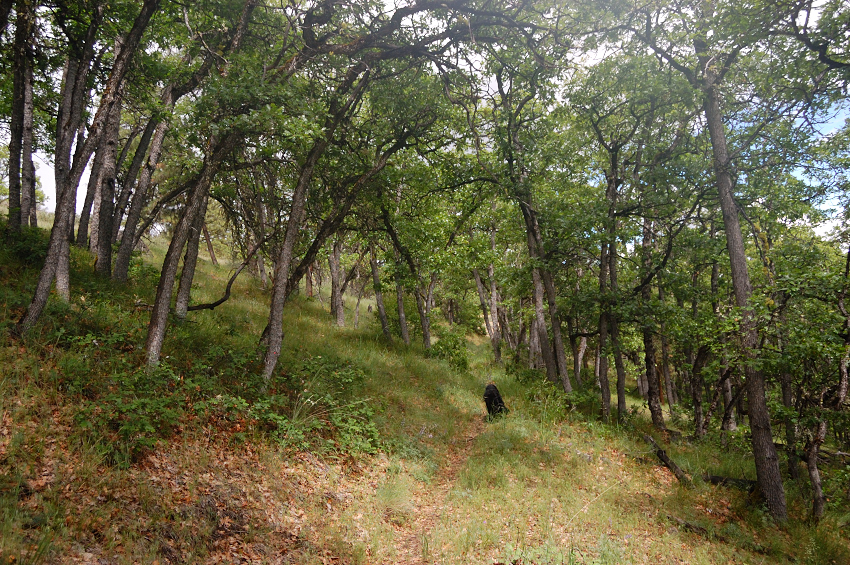
Upon descending 600 feet into the canyon and crossing the creek on a bridge, I saw a sign post on the left and took what looked like ATV road. After 200 yards the real trail (complete with sign prohibiting motor travel) forked out to the left. It was a nice hike though White Oak woods, and trail have been little traveled but very easy to follow.
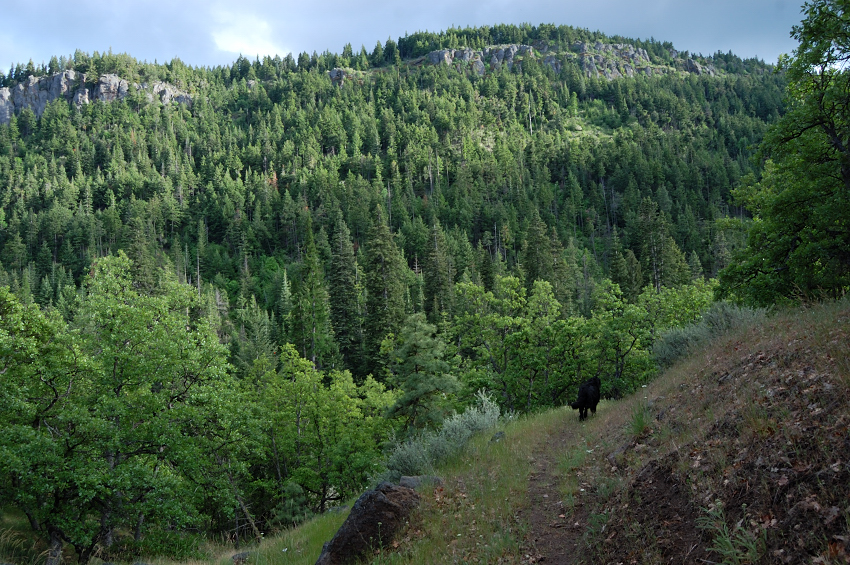
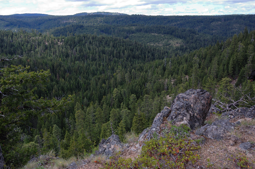
We could see across to greener north side of the canyon, rimmed with white rock

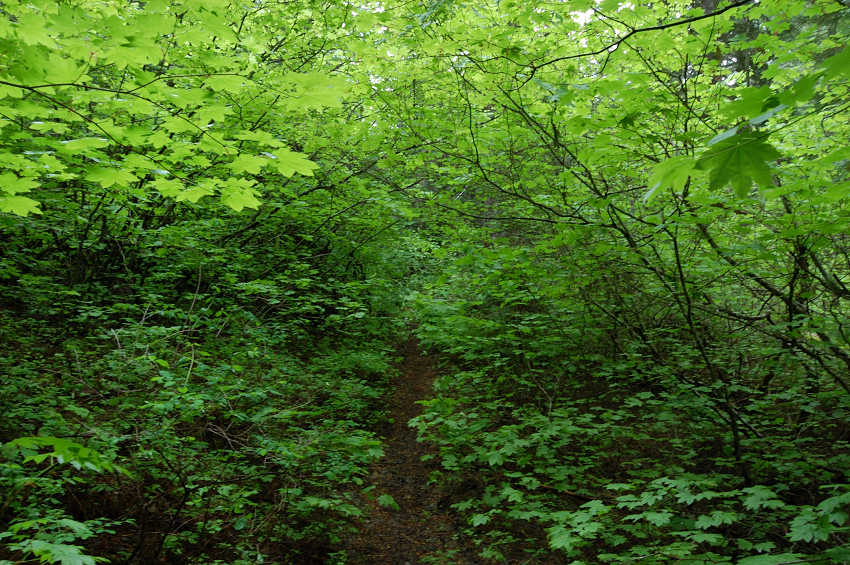
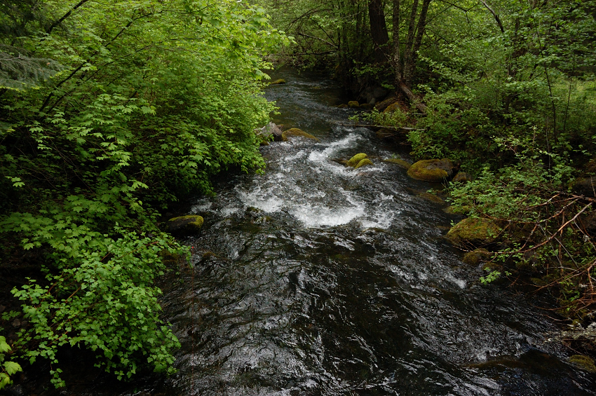
Later, the trail descended to the bottom of the canyon, into old fir/spruce forest with few views. Now, the trail was lined with vine maple - more than I ever seen on one trail. In times, it was like swimming through green, and just as wet (from recent rain). Luckily, the brush doesn't hinder travel at all; I see how it can change in 2-3 years from now. We crossed main creek a couple of times on good wooden bridges.
After 3.3 mile on the trail, got to the lower loop junction and put a tent for the next 2 nights. There was a good campsite right by the creek, and another one a bit away with a nice fire ring (I chose the second one).
As a side note, I would choose other place to camp next time I'm there. That junction where I camped is the lower part of the loop starting from Fifteenmile Camground (the upper trailhead - where everyone starts), and what I didn't know is this trail is quite popular with mountain bikers. Next morning I greeted a group after group of bikers, who took a few minutes break after a long ride down, before starting up hill. While it's been good company, it's not my idea of camping in the wild
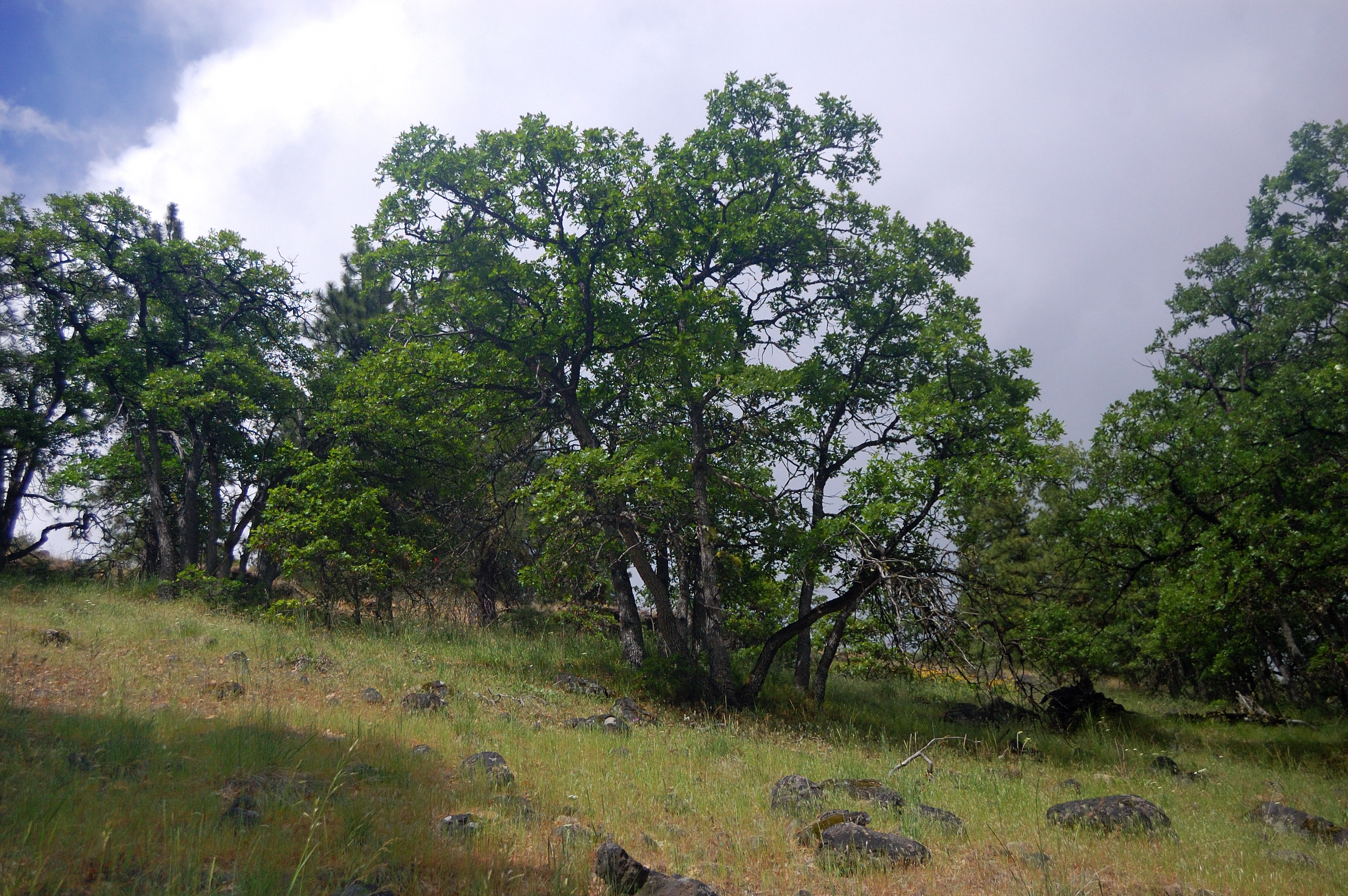
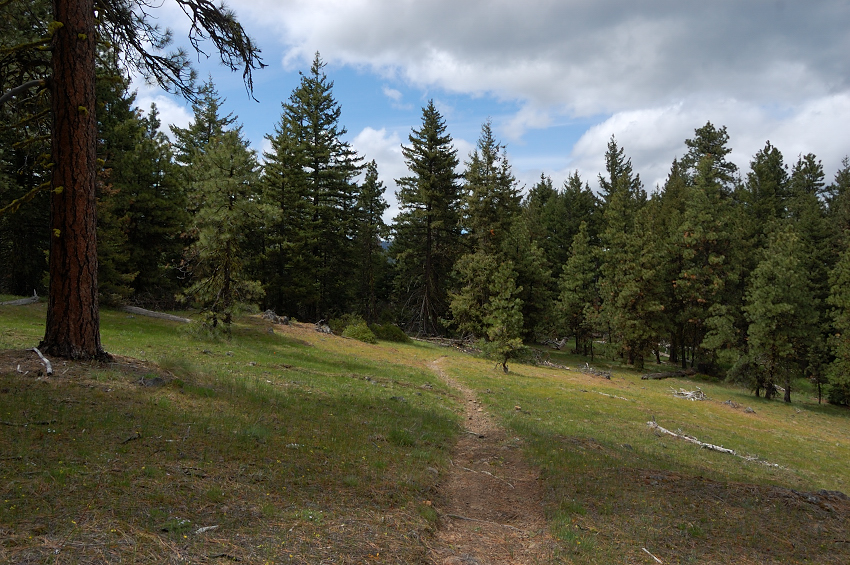
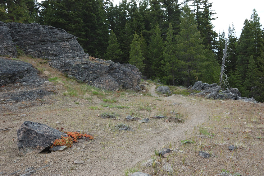
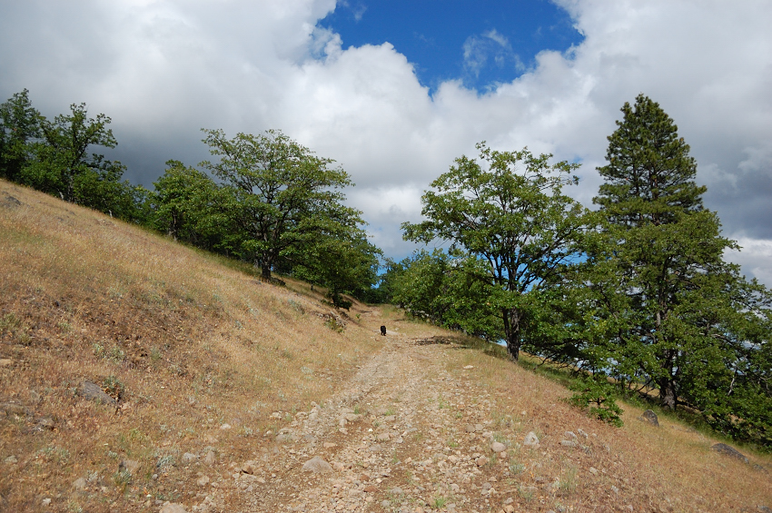
Saturday was supposed to be the only all-dry day of the weekend, so we left camp and headed up the steeper left-hand trail (it would be the opposite of bikers movement so I'd have easier time seeing them). Soon we were up on a drier ridge, with nice parcels of ponderosa pines and some rocky meadows.
Neat views of unknown canyons
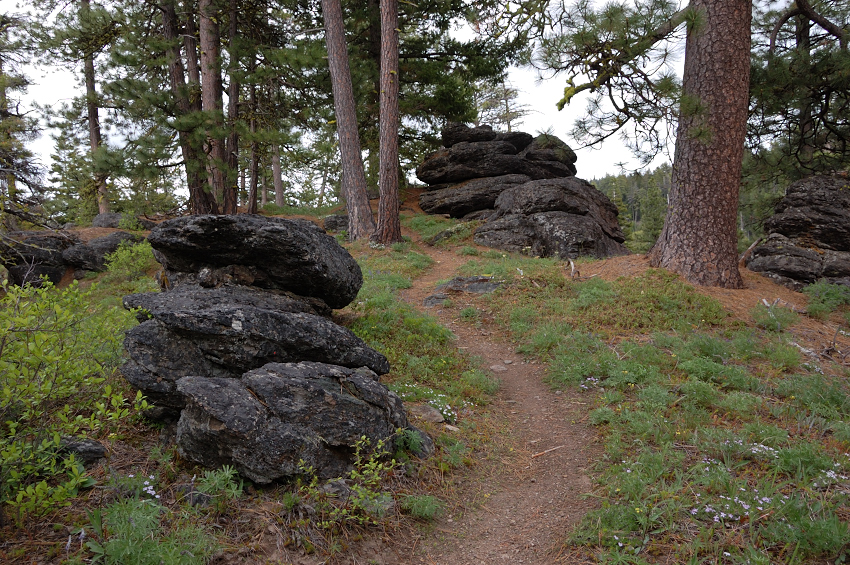
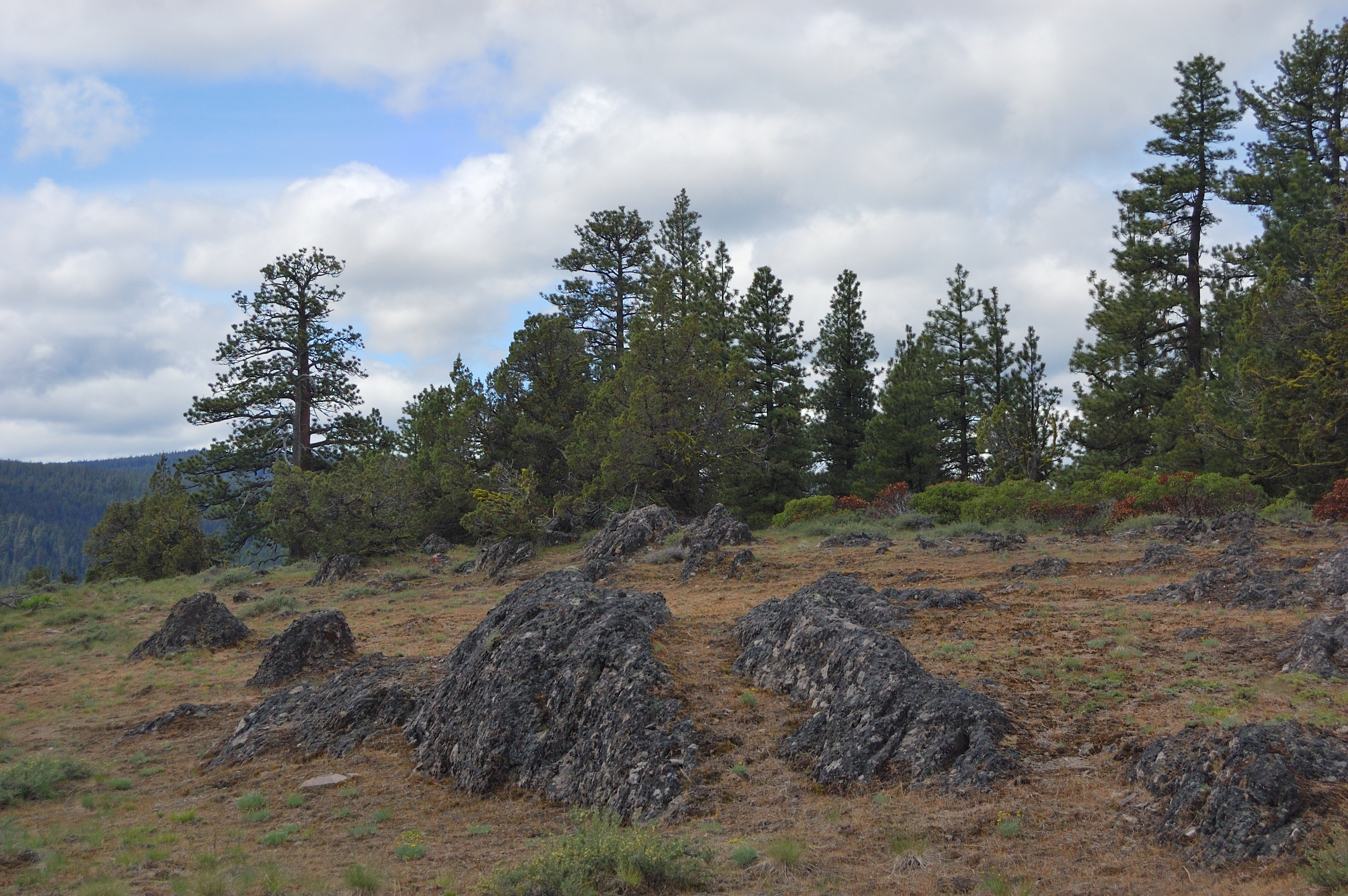
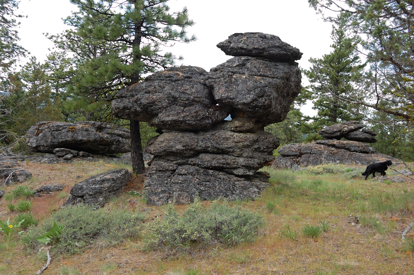
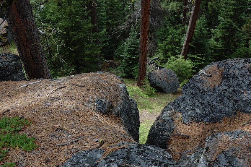
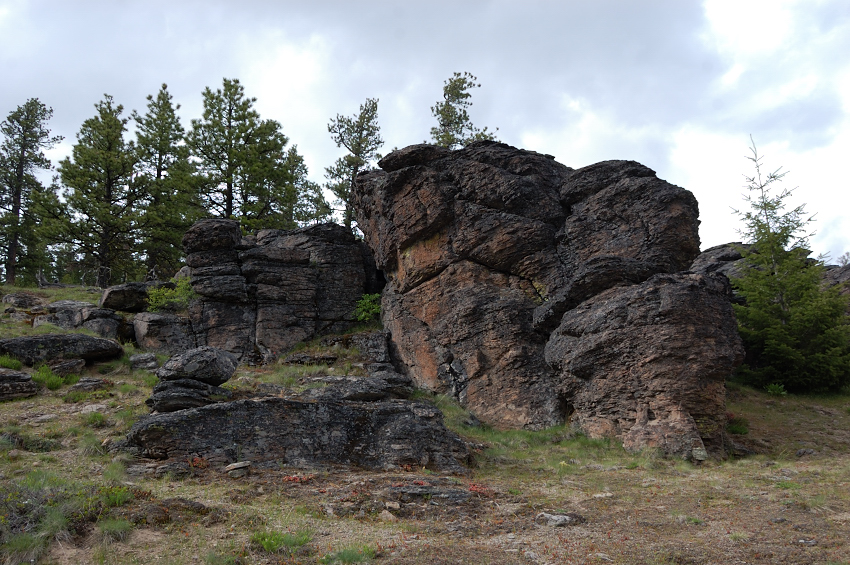
BTW, what really sets this trail apart from most other trails, in addition to diversity of forest it passes through and many nice viewpoints, is that it has lots of interesting rock formations in the upper half of the loop.
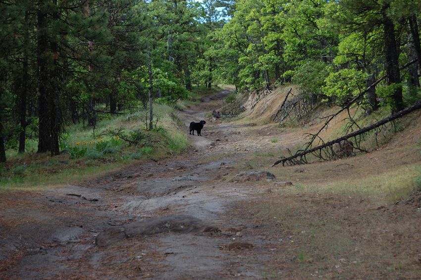
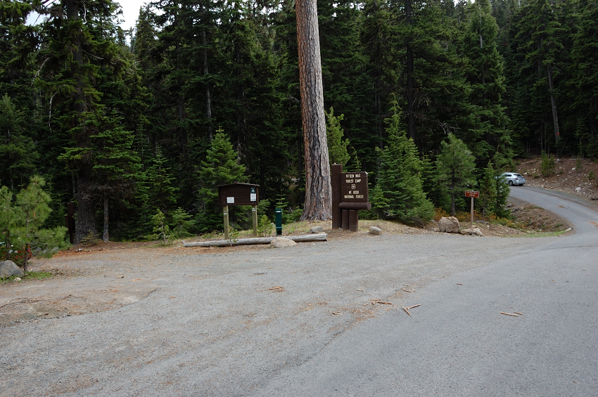
Went up to Fifteenmile Campground to get a complete GPS track. The only hikers I saw were families with children in the upper 1/3 mile of the trail. Someone left their dogs in the car while hiking the trail (poor dogs)
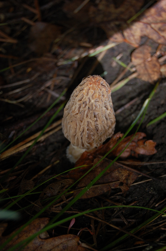
There were lots of mushrooms, some white and black morels (not my kind of mushroom, but still nice to see), lots of yellow coral-like varieties, etc...
I took Fifteenmile (lower) trail on the return leg of the loop - it goes through more diverse terrain, from rocky meadows and ponderosa, to dense overgrowing clearcut or two, then it ducks into wet canyon with age-old conifers. It was nice to get back to camp, since I forgot my energy bars near the tent (still there!) and drunk a lot of water to drown hunger, so by the end of 10.5 mile loop I was a little dizzy. That night, the rain started at 11 pm and lasted until 10:30 in the morning - good timing
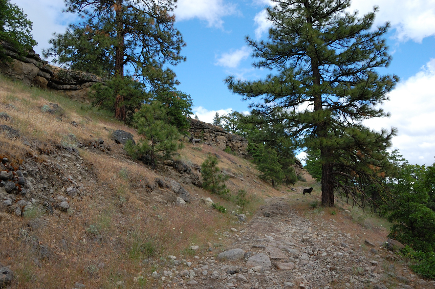
With still some time to spare, I went on ATV road from the trailhead, up the other side of the canyon. My idea was to see if it connects to any good public road up the hill, which could work as a better access to the trail. This road is very nice, as it's cut through sandstone bands and also has excellent views. However, in 0.6 mile I came to Y junction and both upper roads were closed by property signs. Well, still nice addition to the hike.
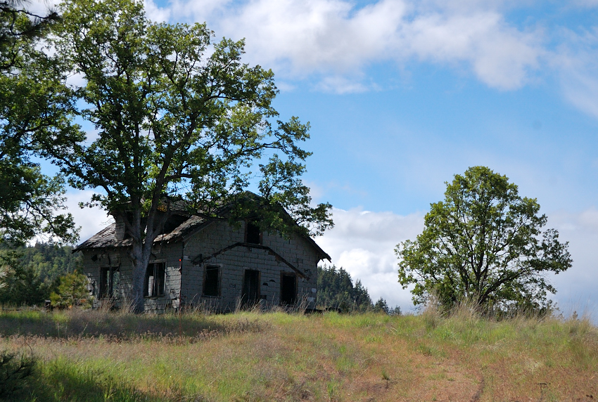
Finally, if you decide to head this way, stop by the ruins 2.5 miles from the trailhead - the road beyond is not recommended for anything but Wrangler. Even to get to the ruins, one needs Outback at the minimum. Still nice to see this hike from lower side & also leave the stuff at camp and do the loop light.
The ruins at "trailhead" (GPS coordinates 45.376326,-121.327086)
It worth to note, the trail is in excellent repair, with only 1 blowdown across the trail in 15+ miles (and a couple more where trail formed around). The brush only encroaches below the lower loop junction, but even there, as said, it's not hindering travel.


