Driving through the gorge, all the familiar trails we passed were just positively dreadful to contemplate. Especially given we knew we were heading towards sunshine and dry ground! We saw snow well below many landmarks, such as Hardy Ridge and Indian Point. (Well, it would've been "many" if the low layer of clouds had been more broken.) The rain was persistent, and I was glad we didn't have to drive any higher than Cape Horn. We met up at the Lyle trailhead at 7:40am; It was clear and crisp, with a brisk breeze blowing. Wind chill probably close to freezing.
Left one car at Lyle, drove another up to Klickitat, and parked at the "official trailhead" next to the little general store about halfway through town. I thought it kinda nice to have a stream of people coming and going, as well as a "refueling" opportunity upon our return. From Klickitat, it was supposed to be about 13 miles, plus or minus, back to Lyle. We had decided, by this point, to hike the river trail north-to-south, and then go on to climb Stacker Butte afterwards, if all went well.
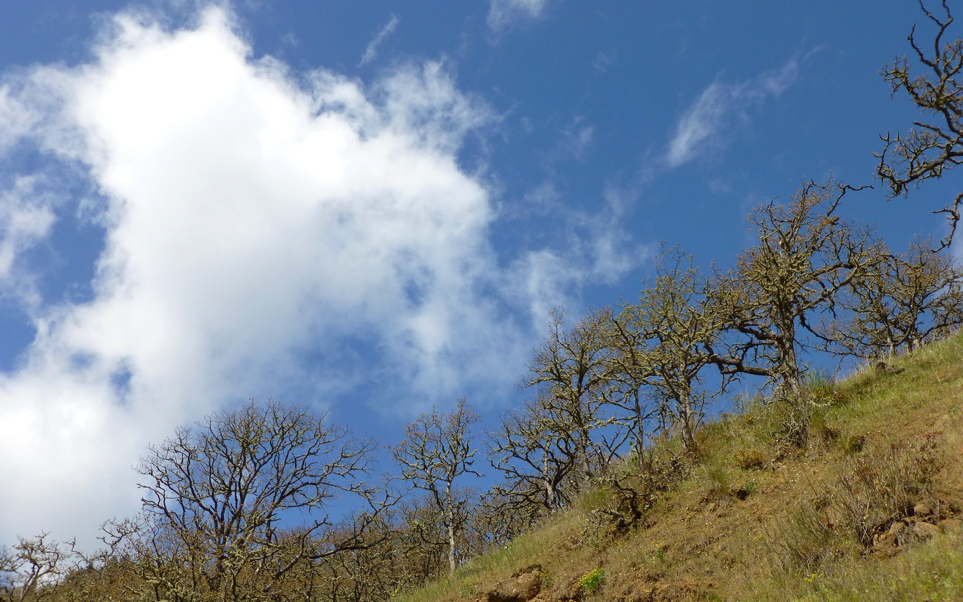
So, to "Get It Out of the Way", here's a shot from the final descent down that ridge...
Looking southwest from Stacker Butte. This is as close as the wet stuff got to us! We laughed about this throughout the day.
Klickitat River Trail
Anyway, back to the beginning. Klickitat's a very small (unincorporated) town. The "trail" is actually a converted rail line, that runs back a bit over a half-mile before we left town altogether, and started passing through more rural residential areas.
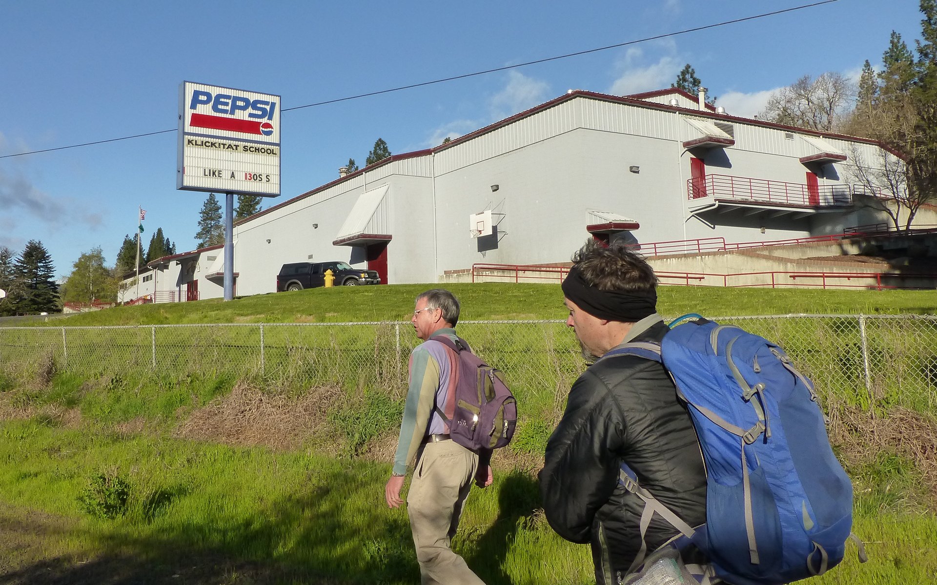
We were on the trail, "Like a Boss!", and passing by the Klickitat School by 8:15am!
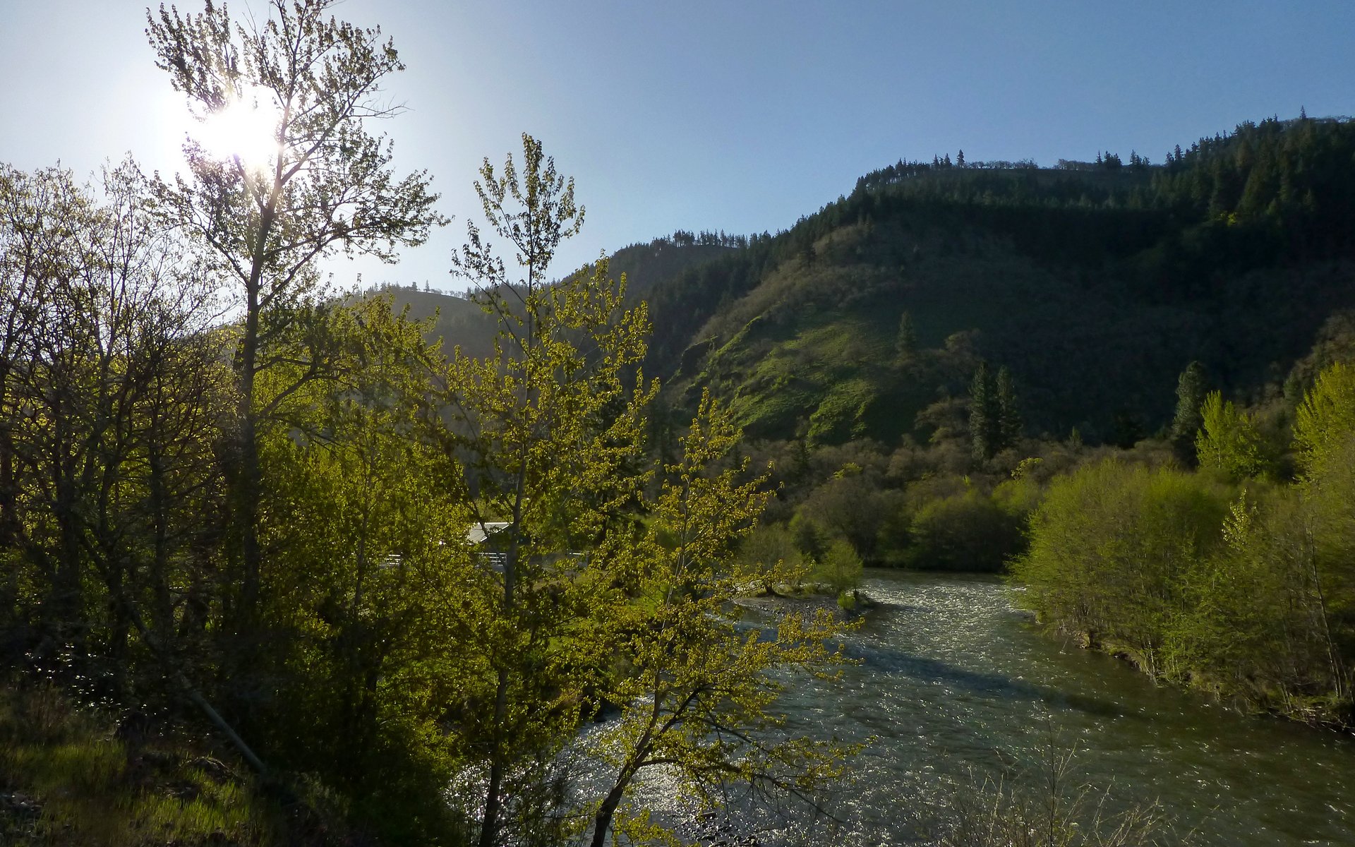
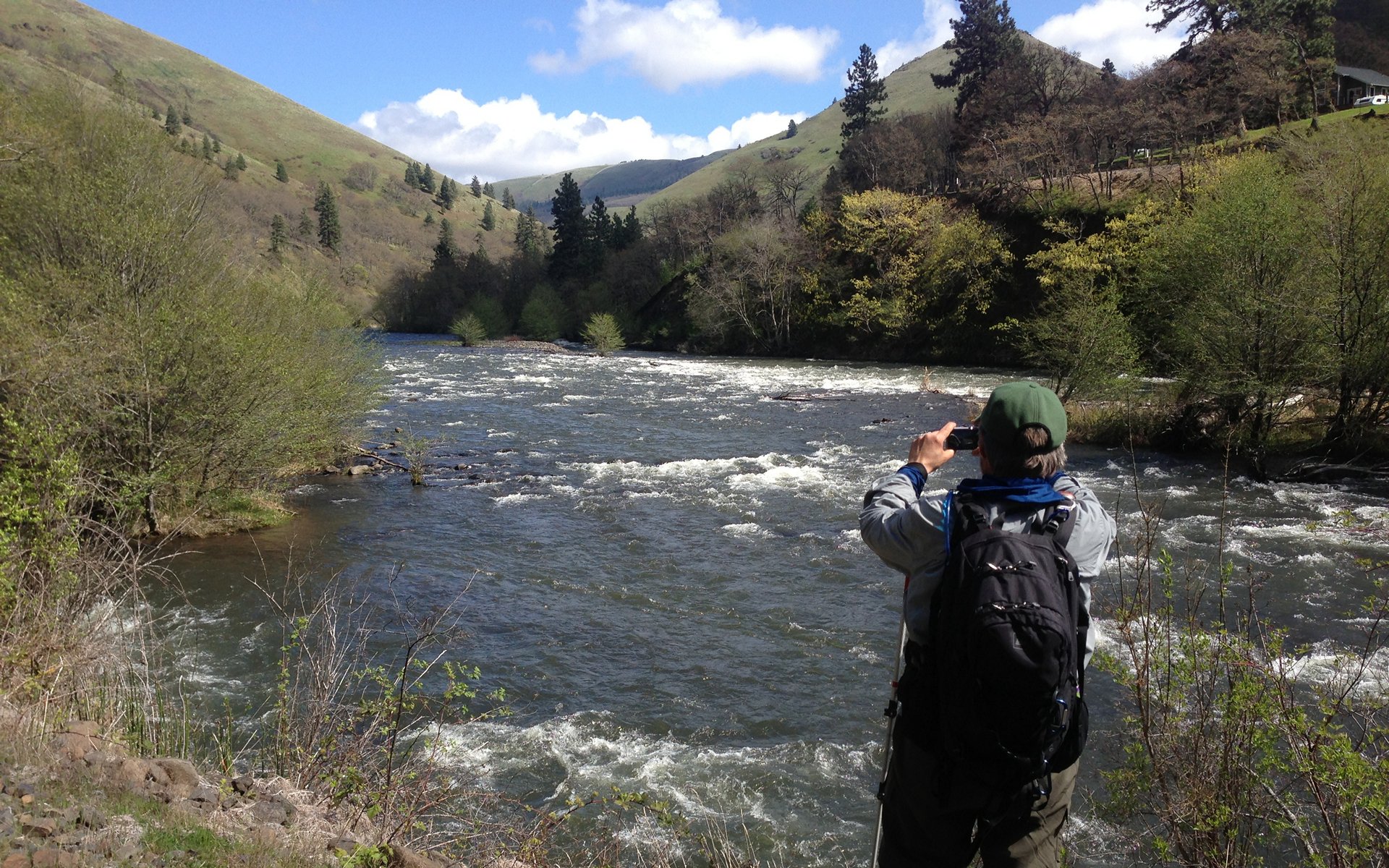
Just 10 minutes later, we were fully enjoying morning along the Klickitat River.
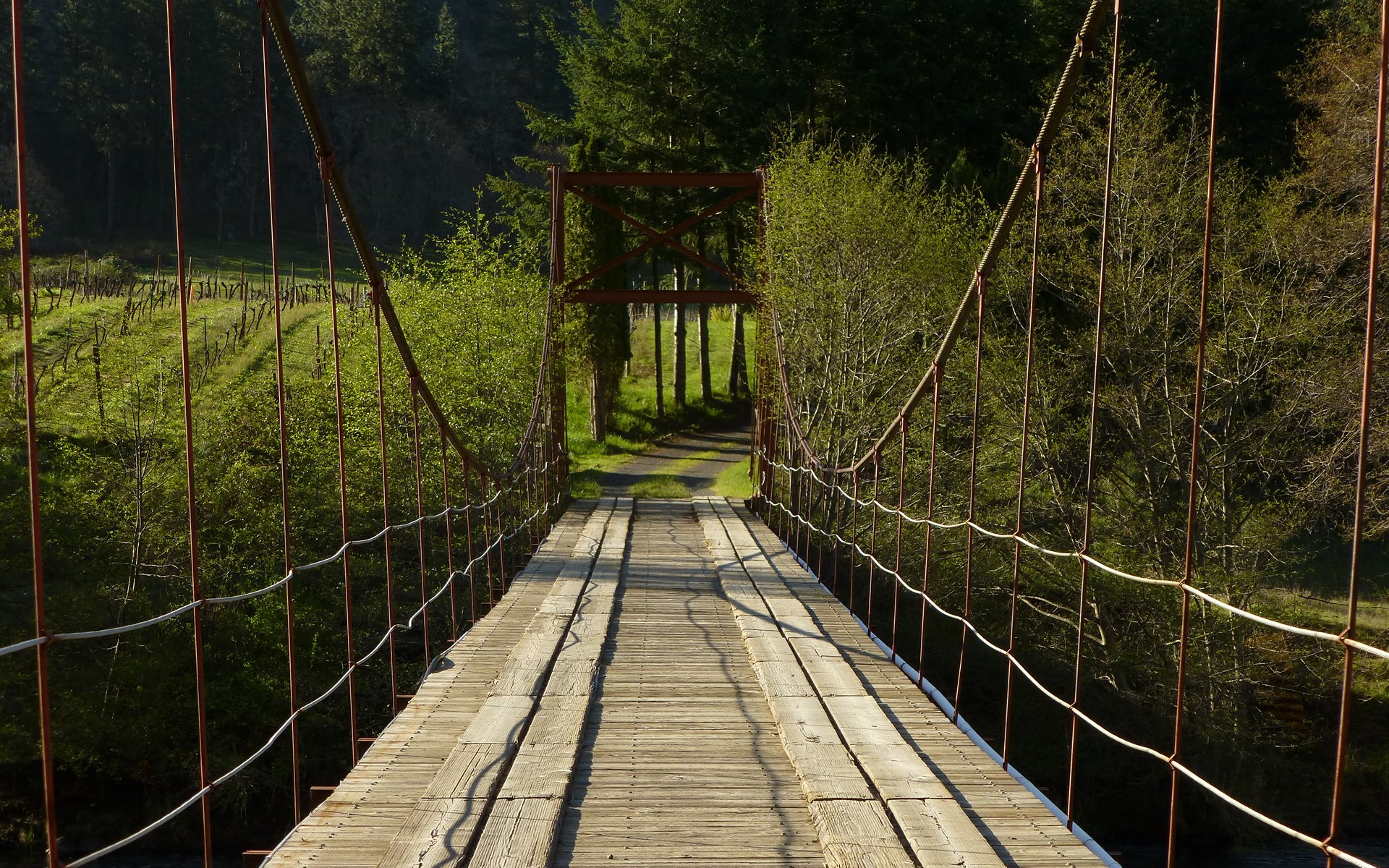
We passed by a pretty awesome suspension bridge that seemed to actually be someone's driveway across the river!
Cool as it was, I'm not sure any of us envied the thought of crossing that multiple times a day.
Peder displayed his ever-eager willingness to lend nature a helping hand!
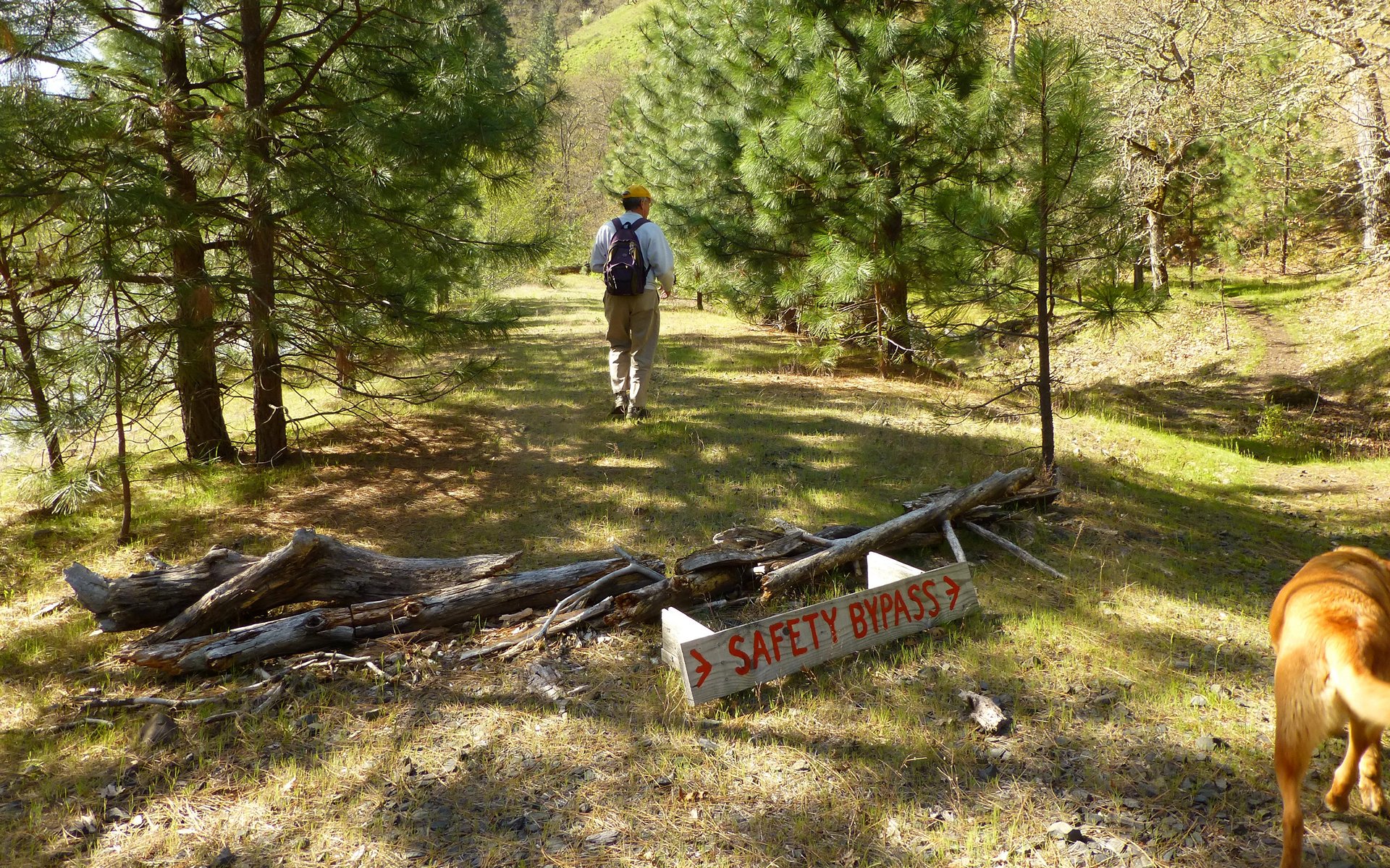
It was truly a Good Thing that just a short while farther down the trail, the opportunity to recuperate presented itself.
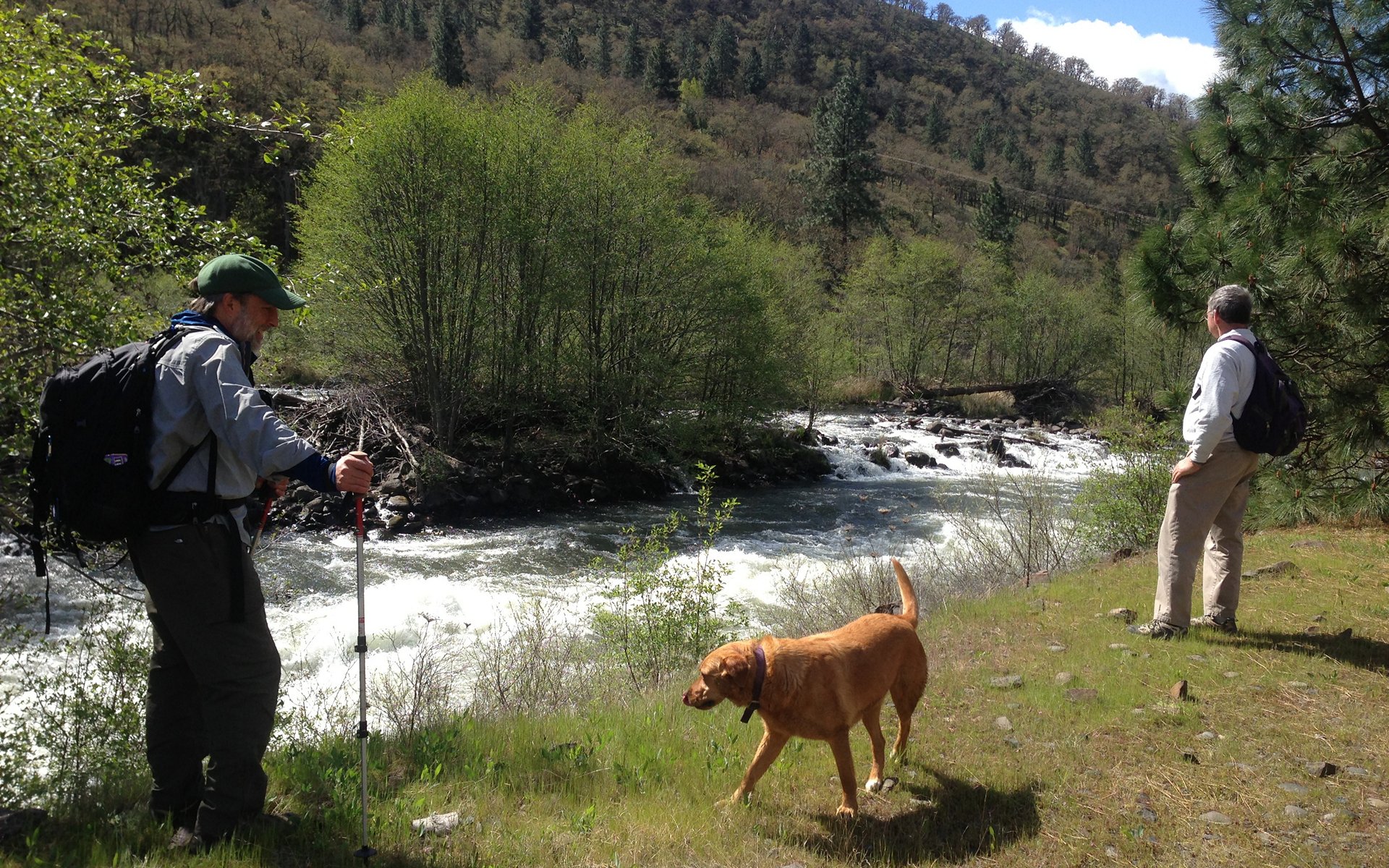
Thirty minutes outside town, we made acquaintance with a new TFF - "Buddy" - and two of his pals!
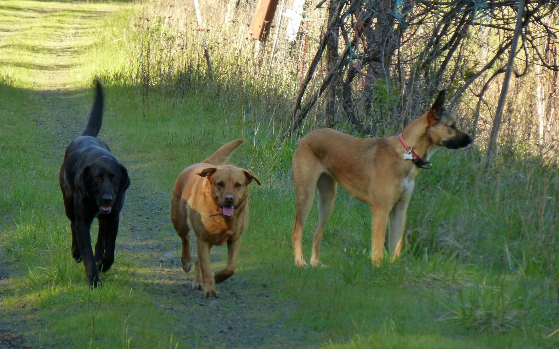
These three came racing to meet us from a good distance away, tails a-waggin'. Buddy's in the middle.
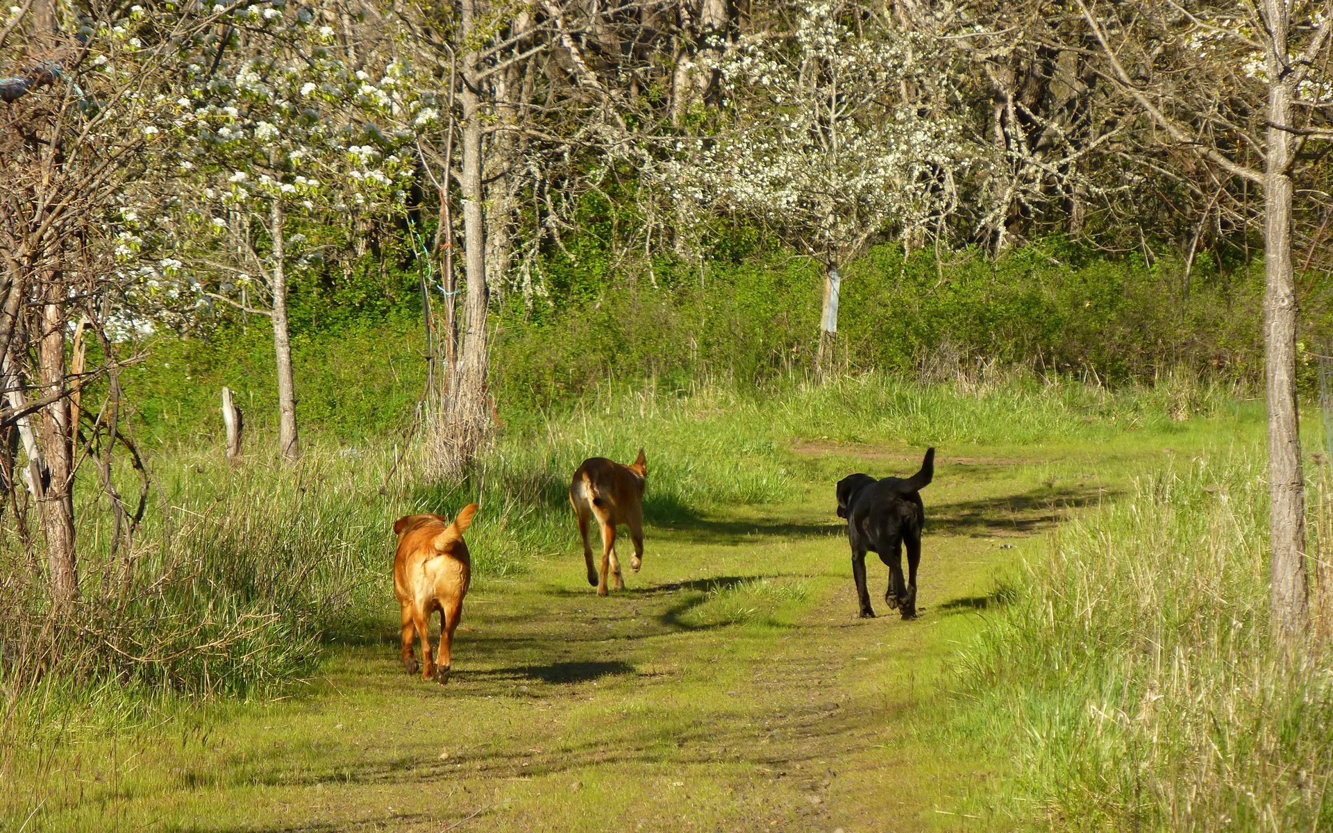
They simply couldn't have been happier than to have new TFFs to hike with, and accompanied us for at least a mile! At that point,
two of our new friends found something that apparently smelled better than us, and took off on a cross-country scramble.
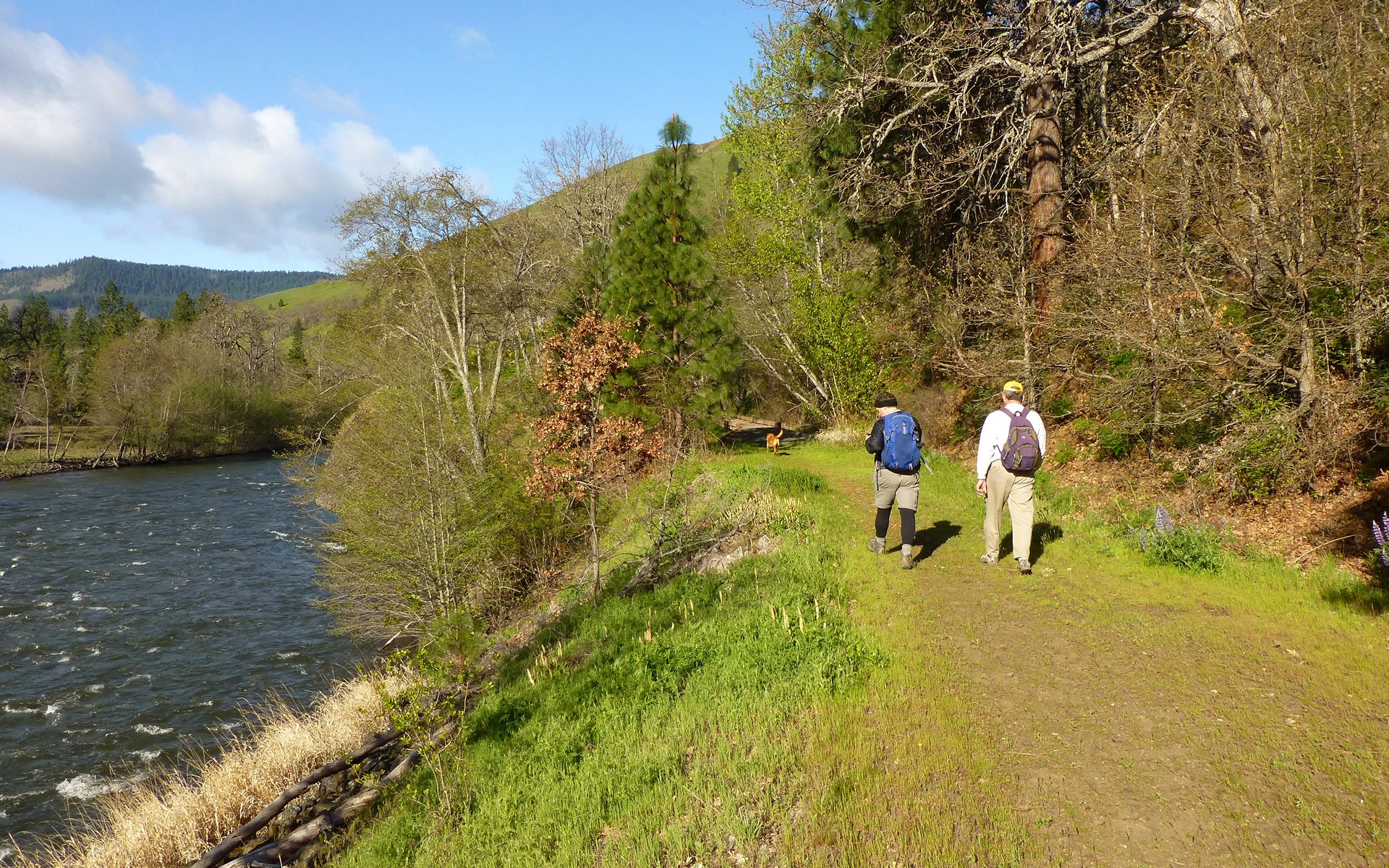
Buddy, however, was far more people-centered, and totally thrilled to be off on what could be yet another Grand Adventure!
Our sense was that Buddy knew the trail well. Or, at least, how to read.
I mentioned the sun was out, right? While it was snowing in the gorge, up on Silver Star, and Mt Hood?
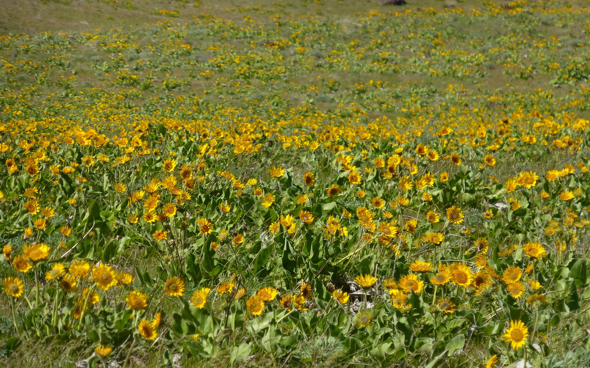
Well, that's not all. The flowers were also starting to really pop!
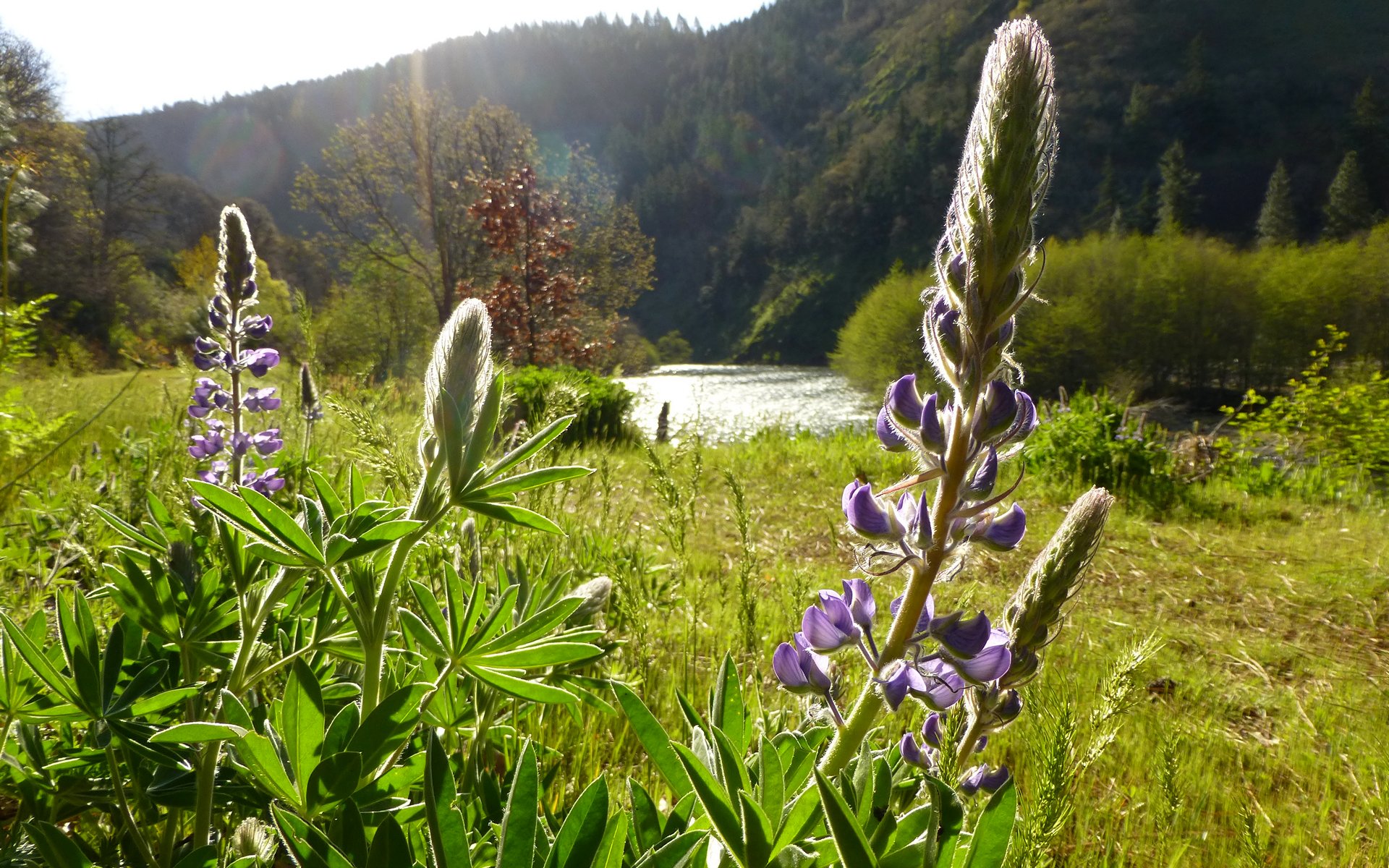
Lupine
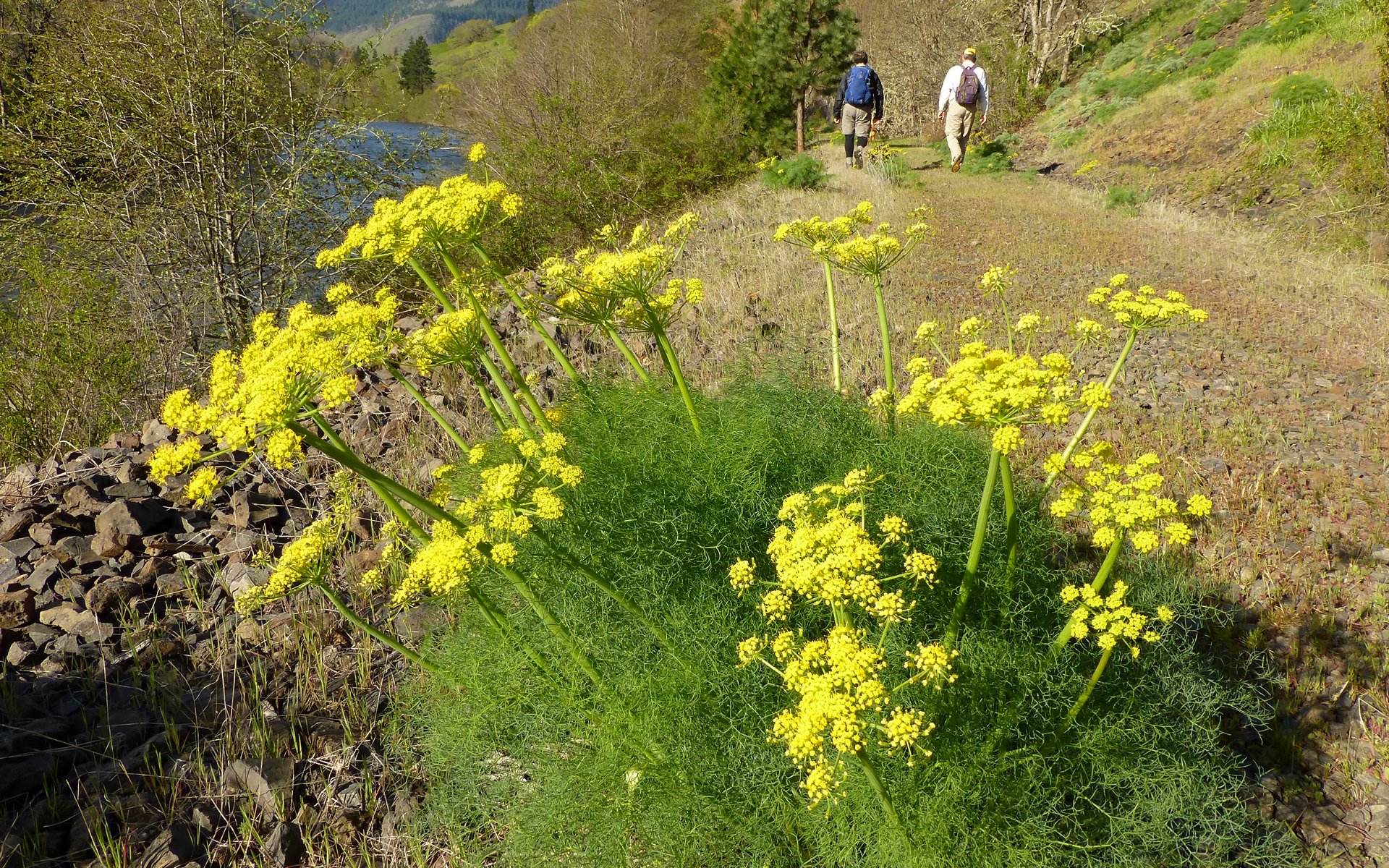
Cook's desert parsley
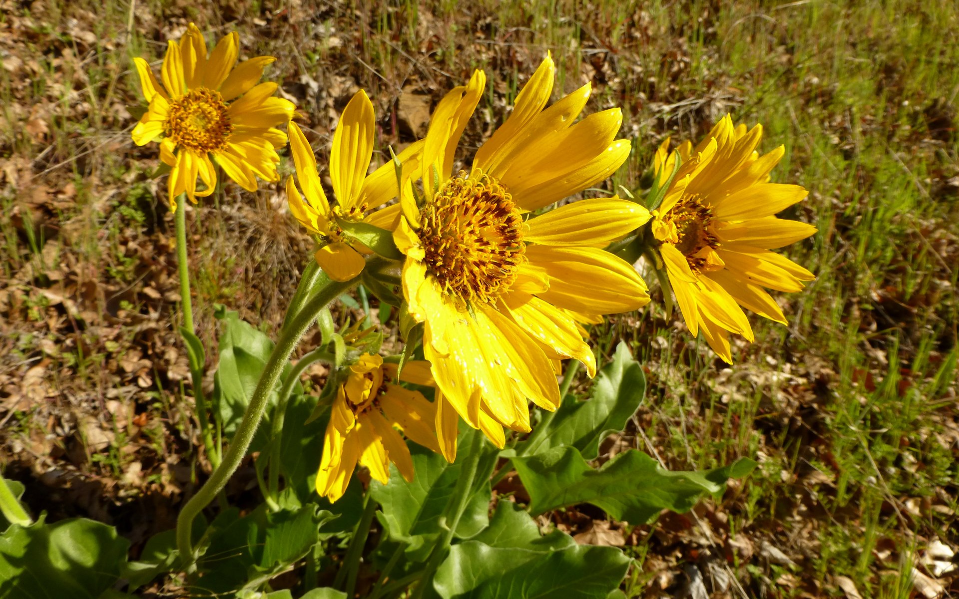
Balsamroot
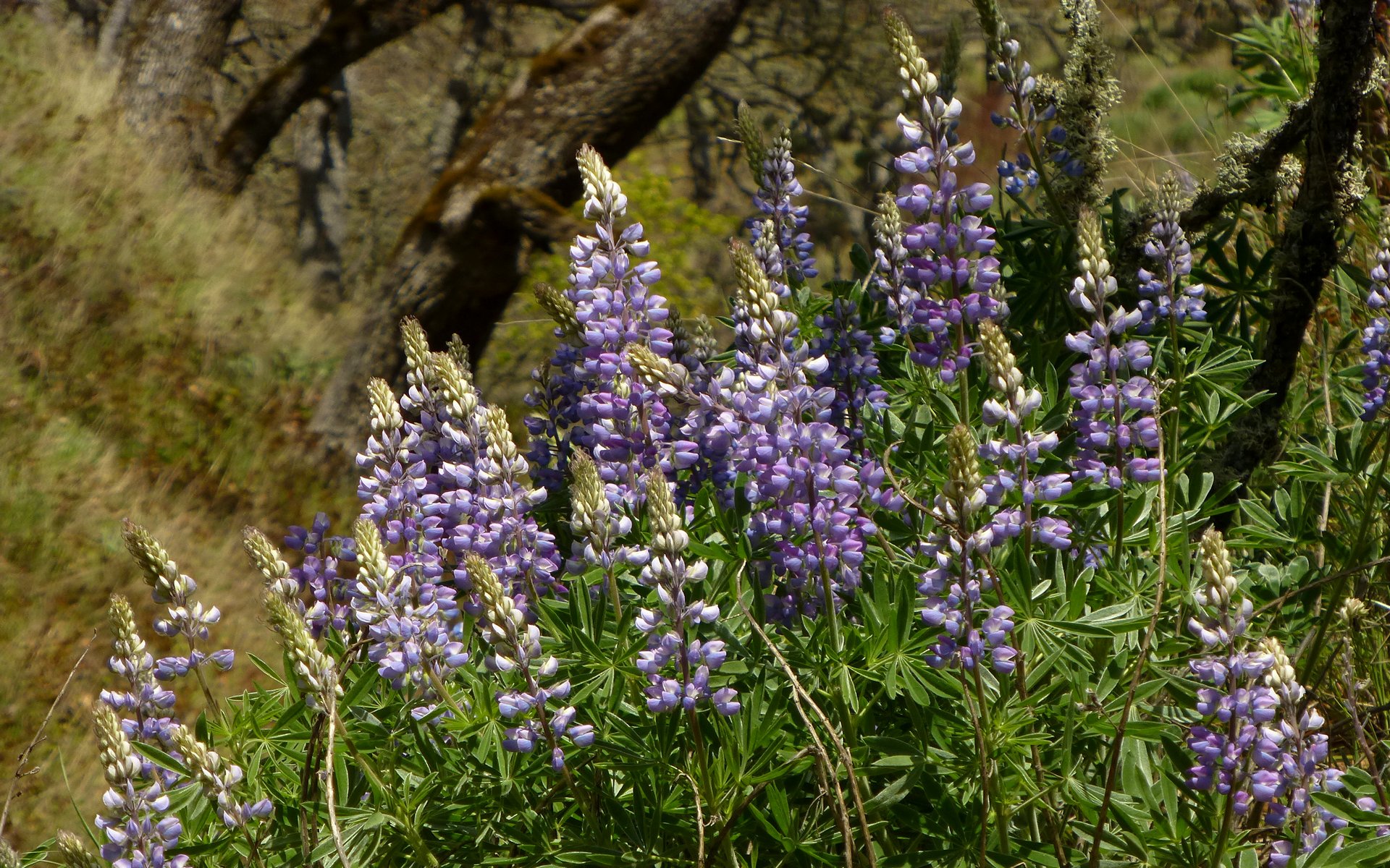
More lupine
More Cook's desert parsley
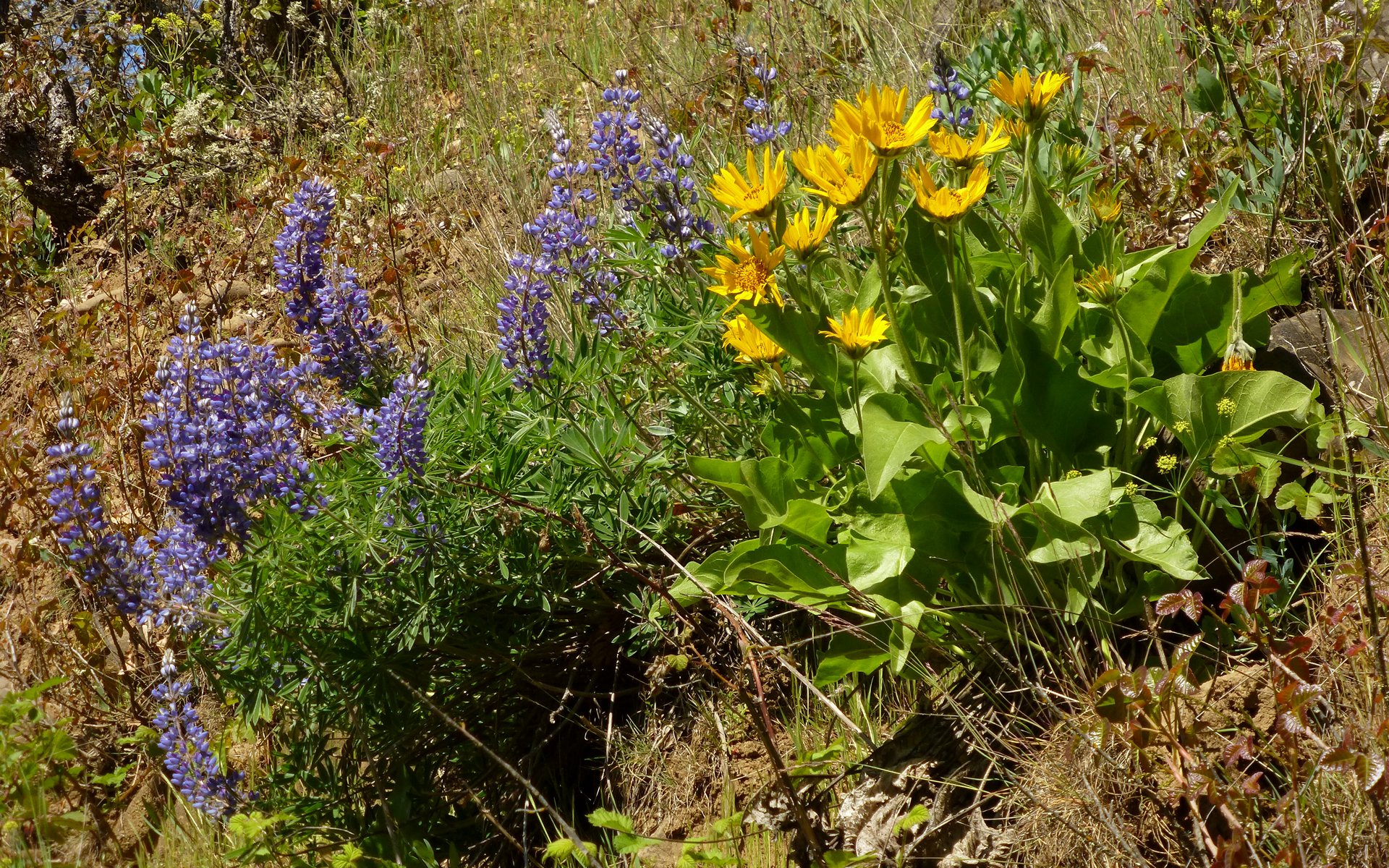
Lupine and balsamroot! (You get the pattern, right? Very pleasant trailside vegetation!)
Some rather cool rocks on display. That's always a bonus of getting away from "all those ugly trees, which only hide all the beautiful rocks!" (As they used to say in the School of Geology.)
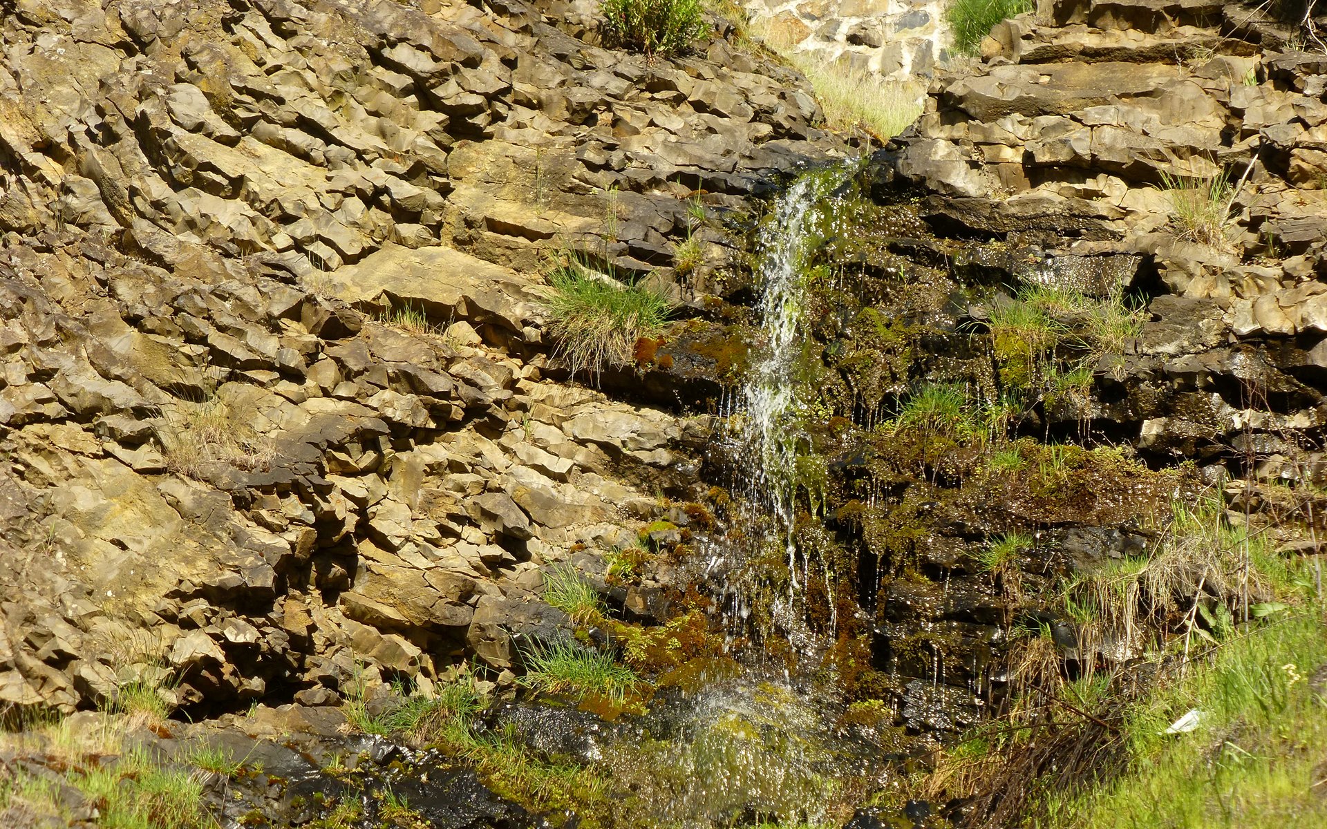
Warped layers and a little waterfall.
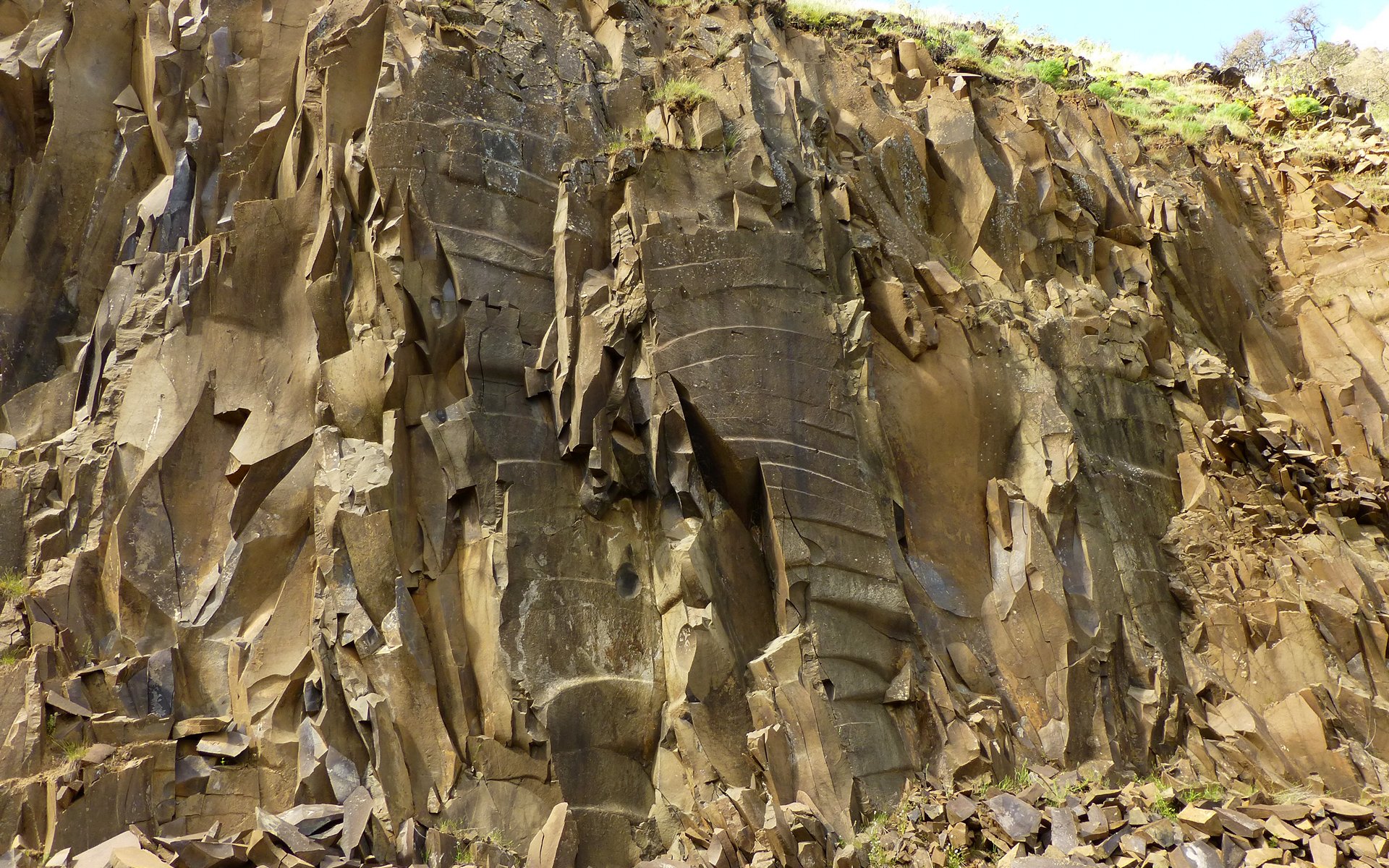
One of the oddest radial fracture patterns I may have ever seen.
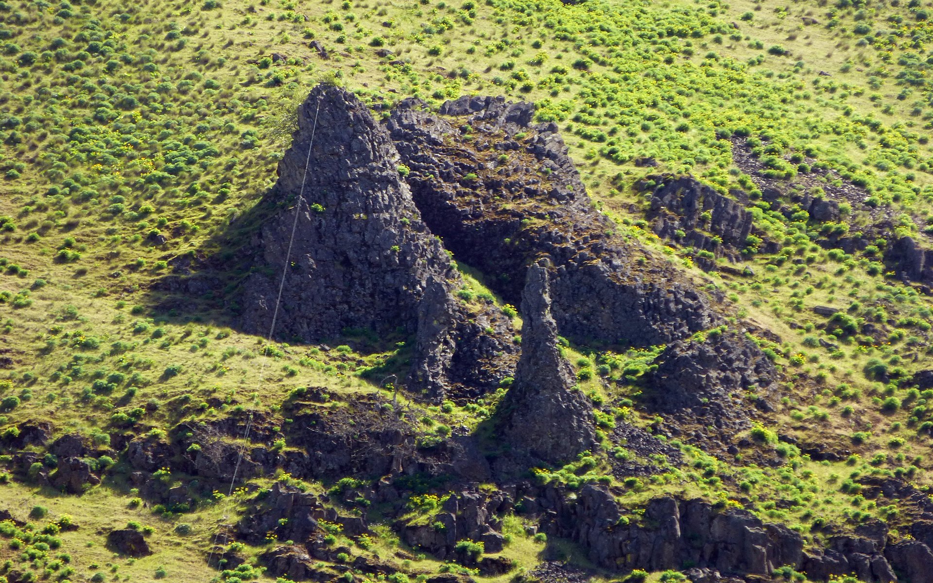
I don't know a chimney from a hoodoo, but I suppose this might be one of those?
EDIT: bobcat says "chimney" and he knows his stuff!
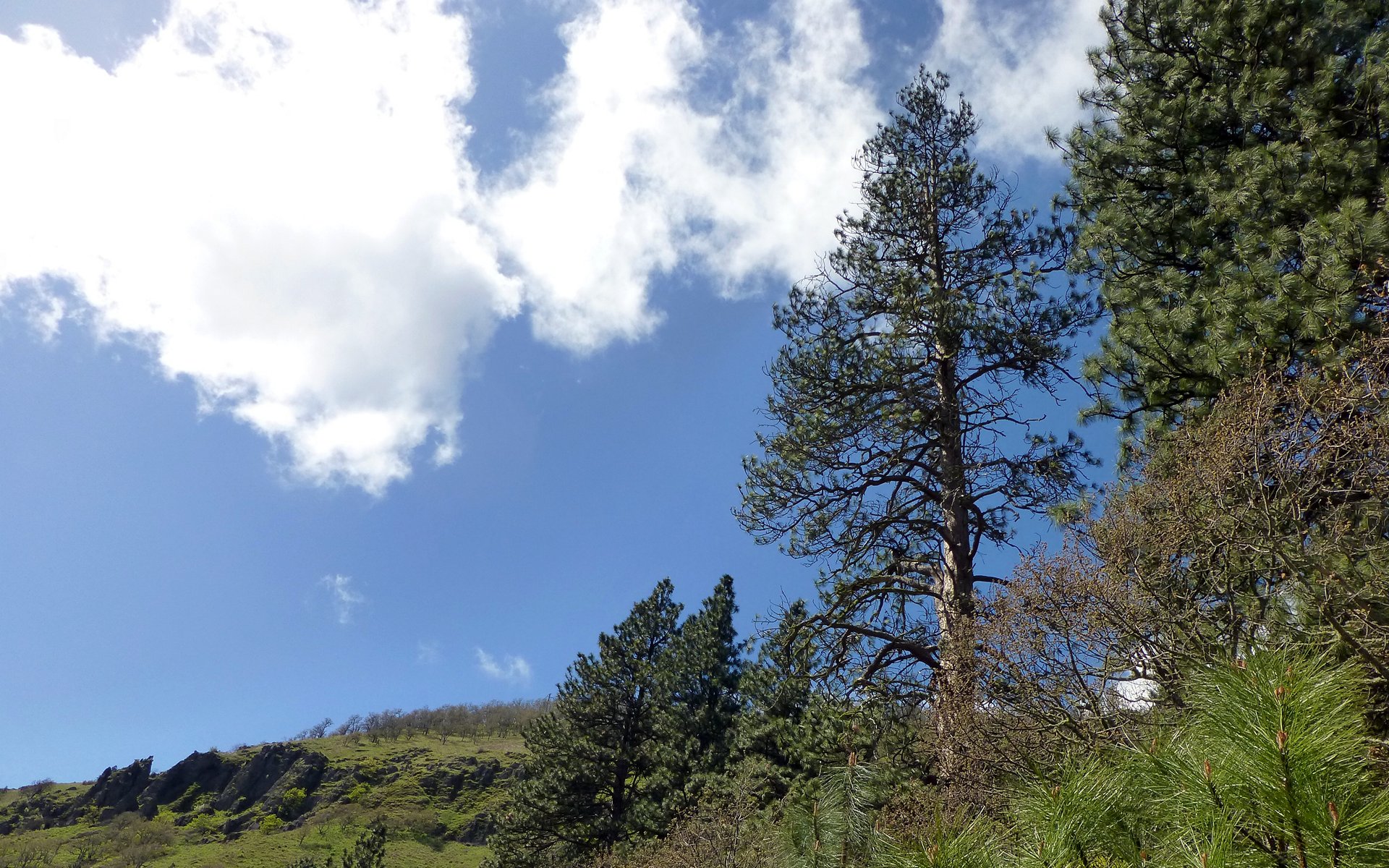
Not that the trees weren't pretty cool, too...
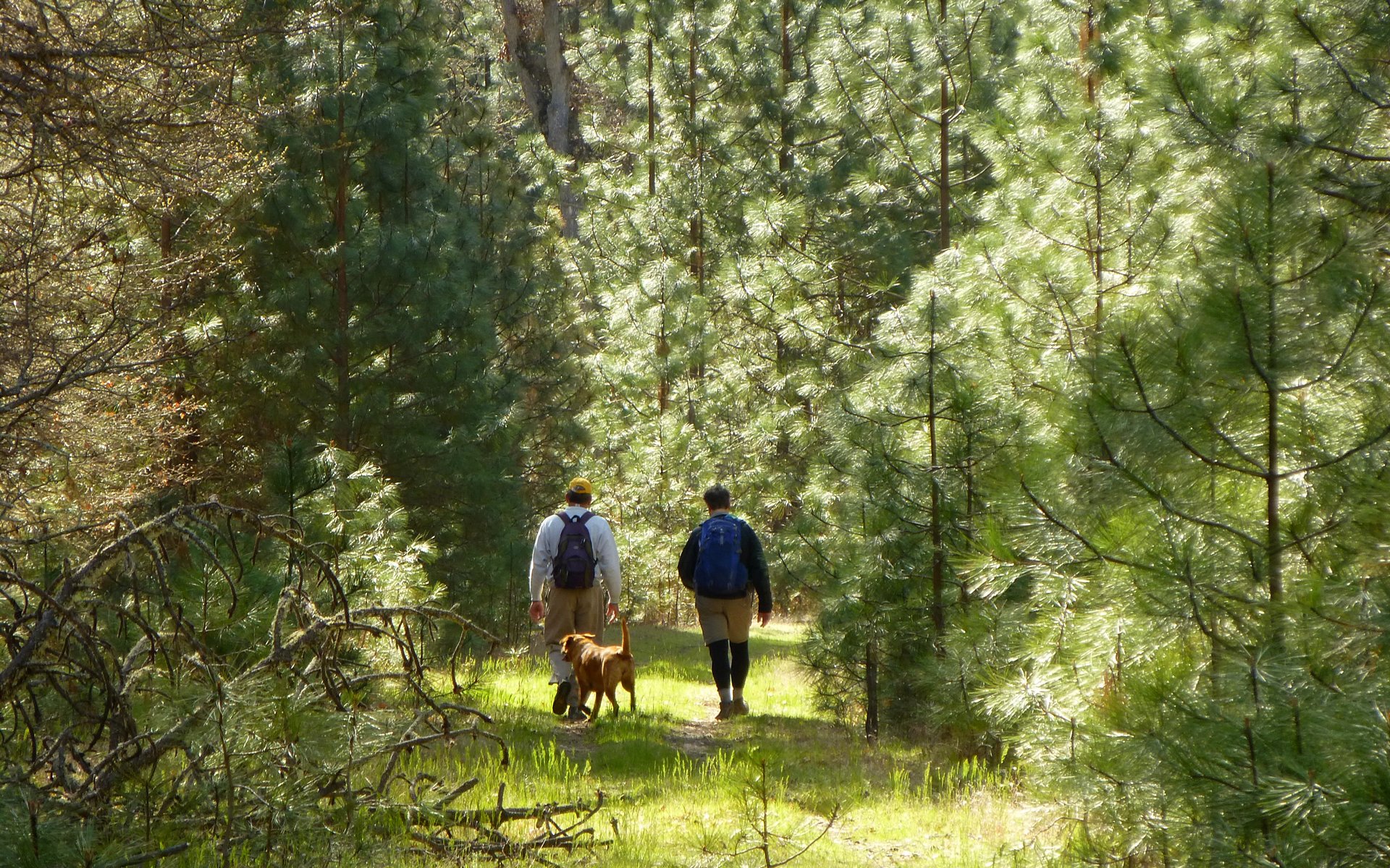
Often, the trail was lined with Ponderosa pine.
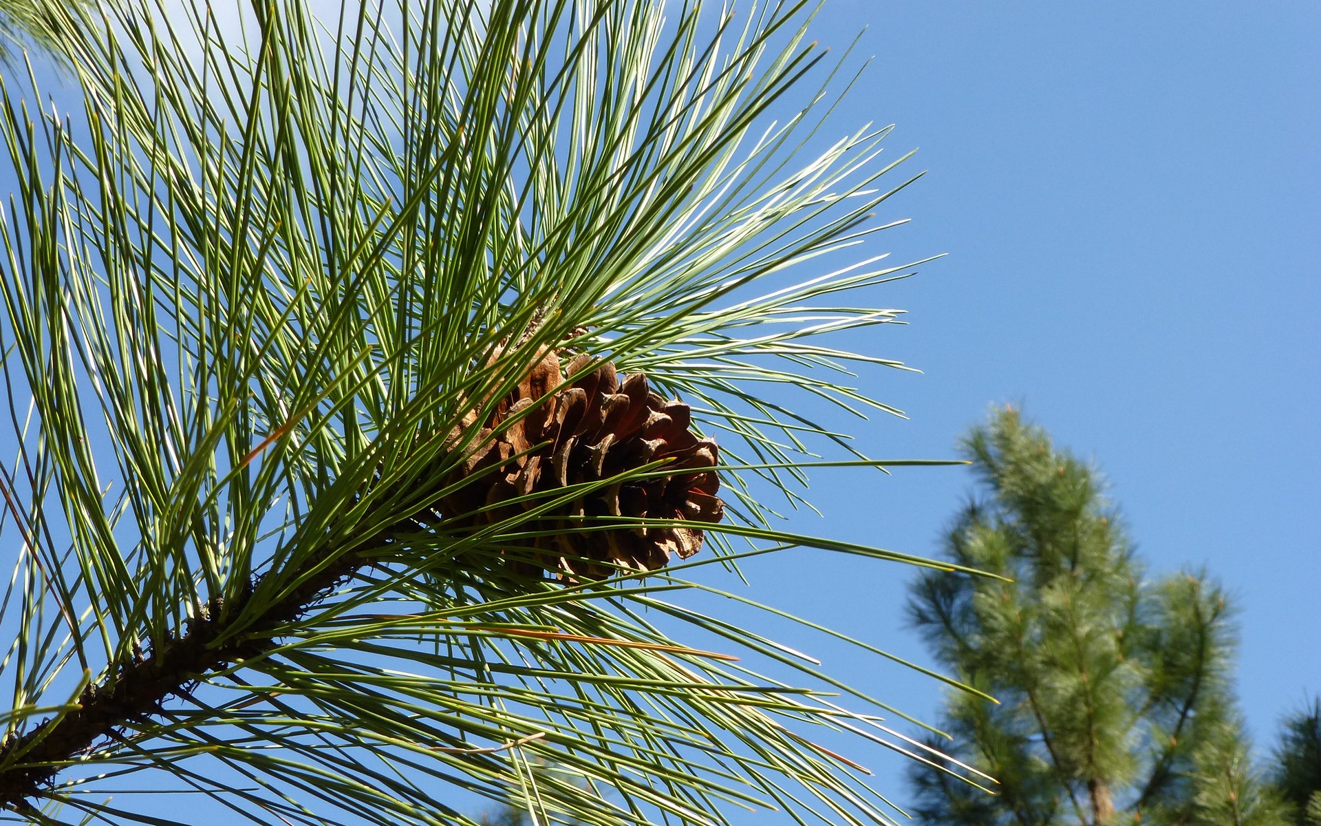
The pine cones just seemed to be popping, too.
Some of the Ponderosa were unspeakably large! This guy's well over 200' tall, and at least 8' diameter at chest height.
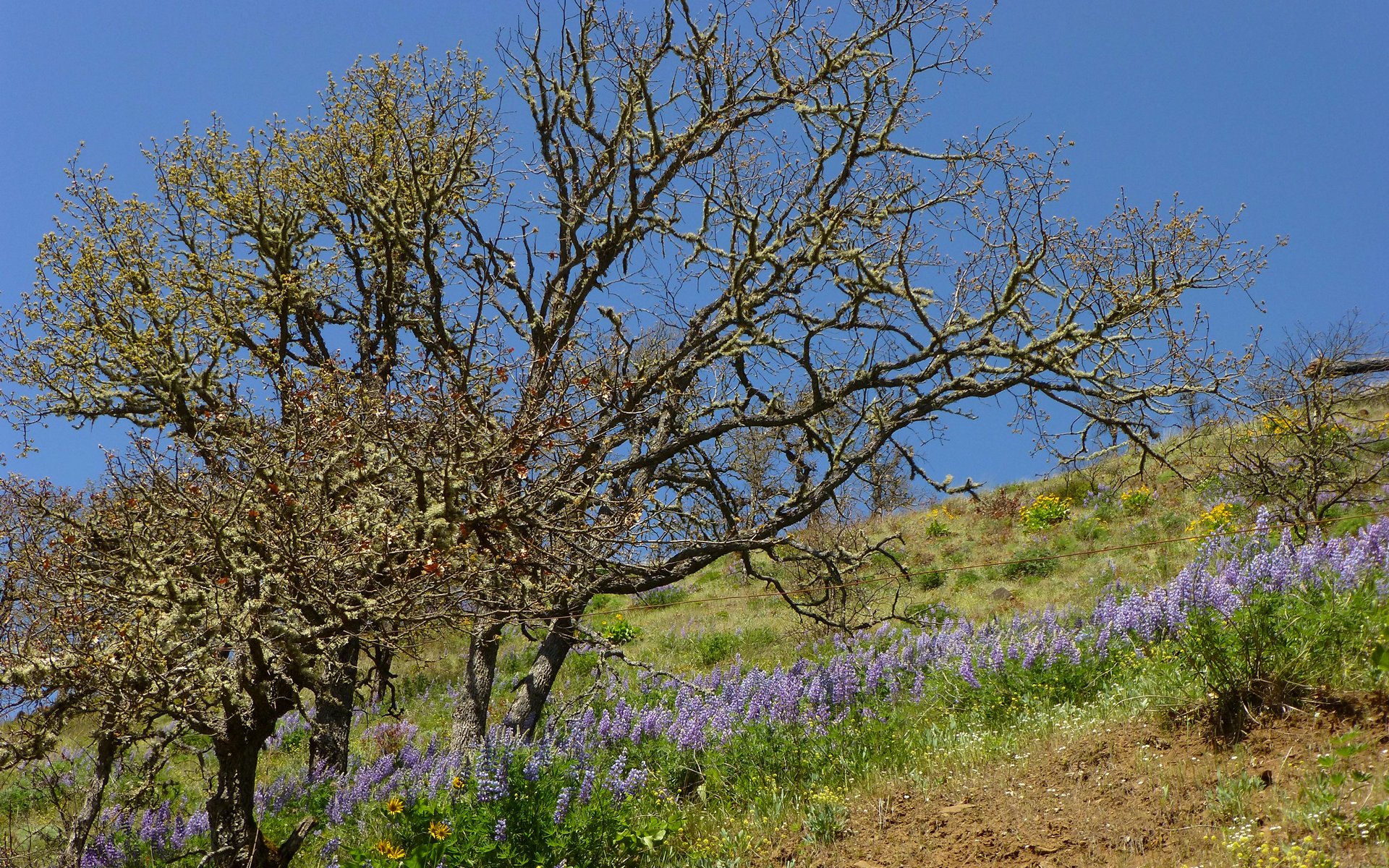
When we weren't surrounded by pines, the scraggly oaks dominated. (Anyone know the exact name for these?)
EDIT: IslandCougGirl says her dad taught her "Scrub Oak" way back when.
Scraggle oaks reaching for the sky. They were just starting to bud out.
We did encounter a bit of wildlife. Lots of ground squirrels, to be sure. But a few other four-legged creatures, as well.
Nature was again at work, without much help from Peder this time, reclaiming this pile of carbon.
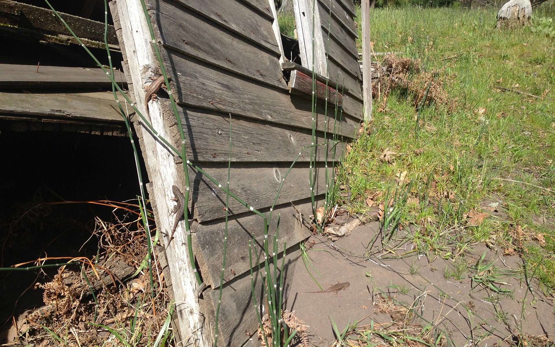
A family of Western fence lizards was making the best of it while it lasted. (Photo credit: Tim)
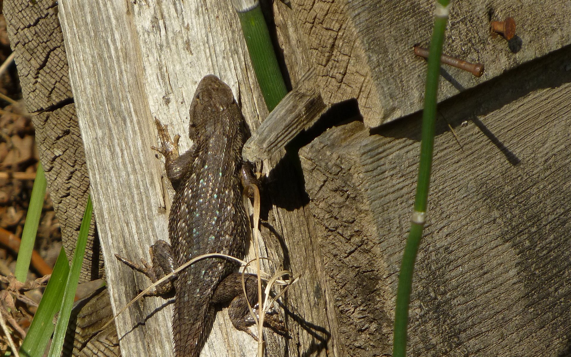
They were exceptional posers!
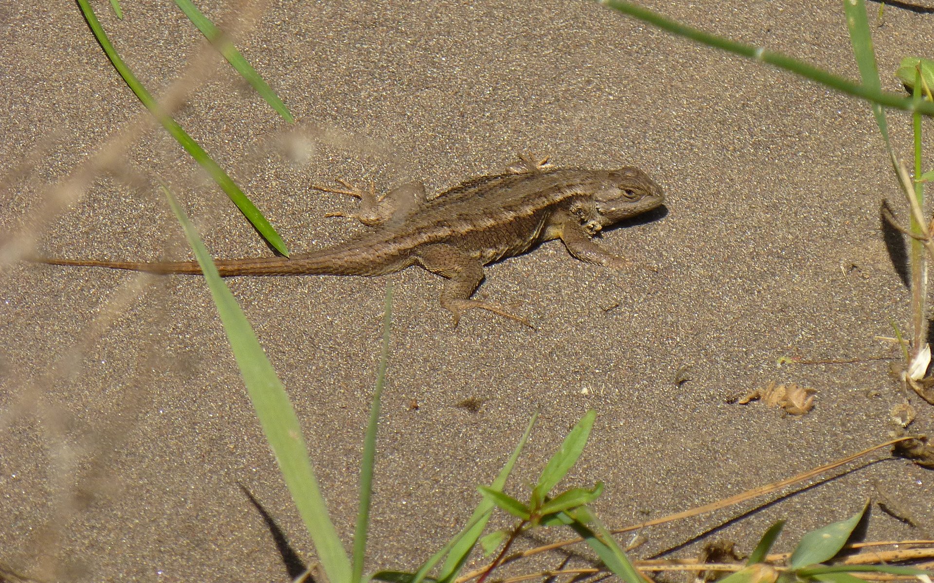
This guy didn't even budge as Buddy pounced right over him in hot pursuit of an imaginary squirrel.
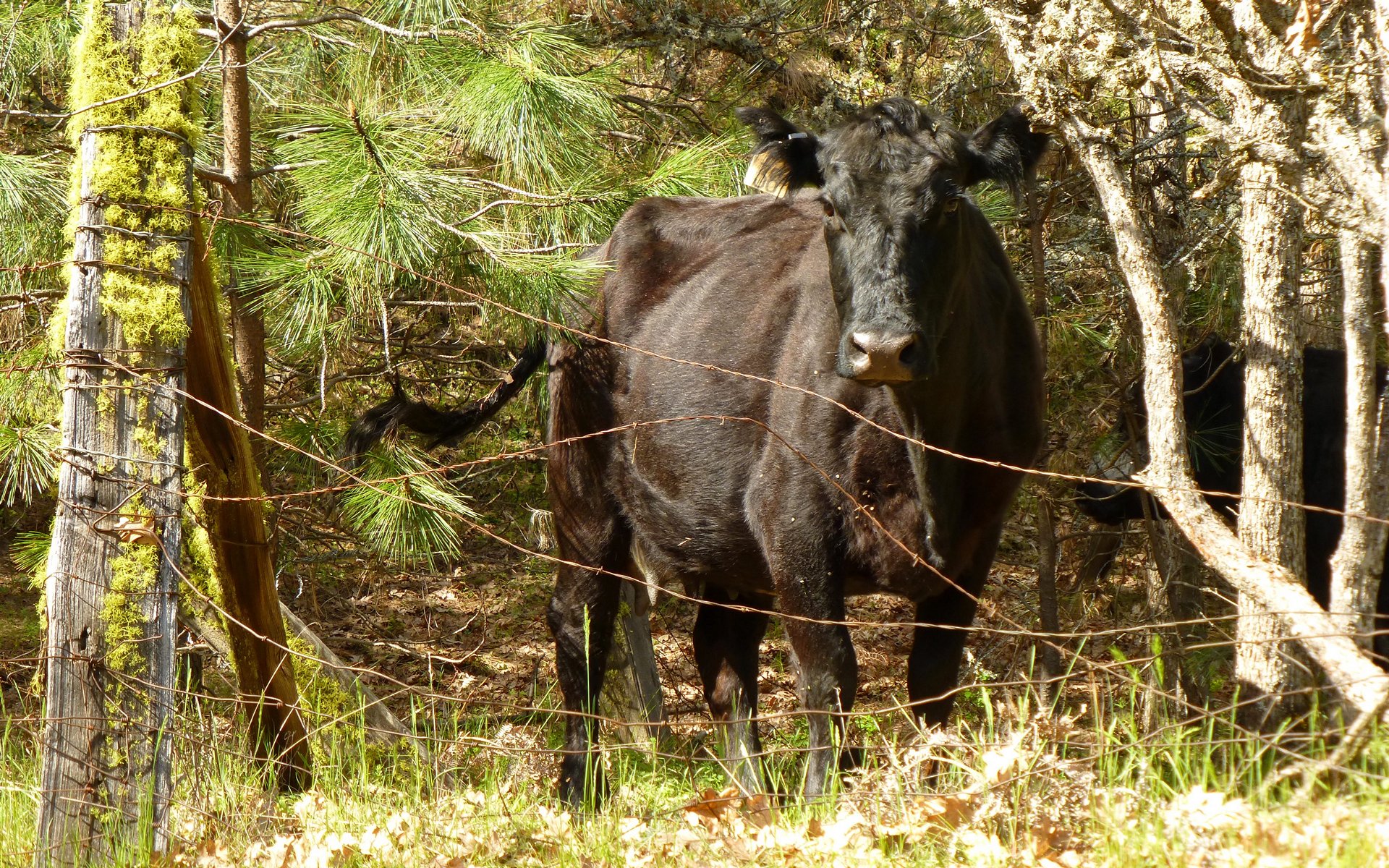
Much of this trail is Open Range Country! That "fence" was all of 8' long. Buddy did his best to show restraint.
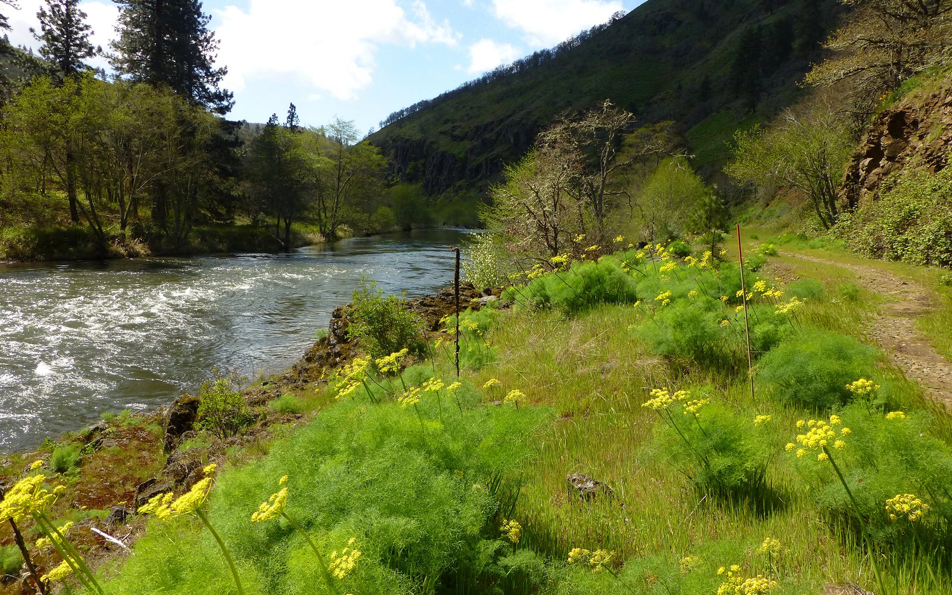
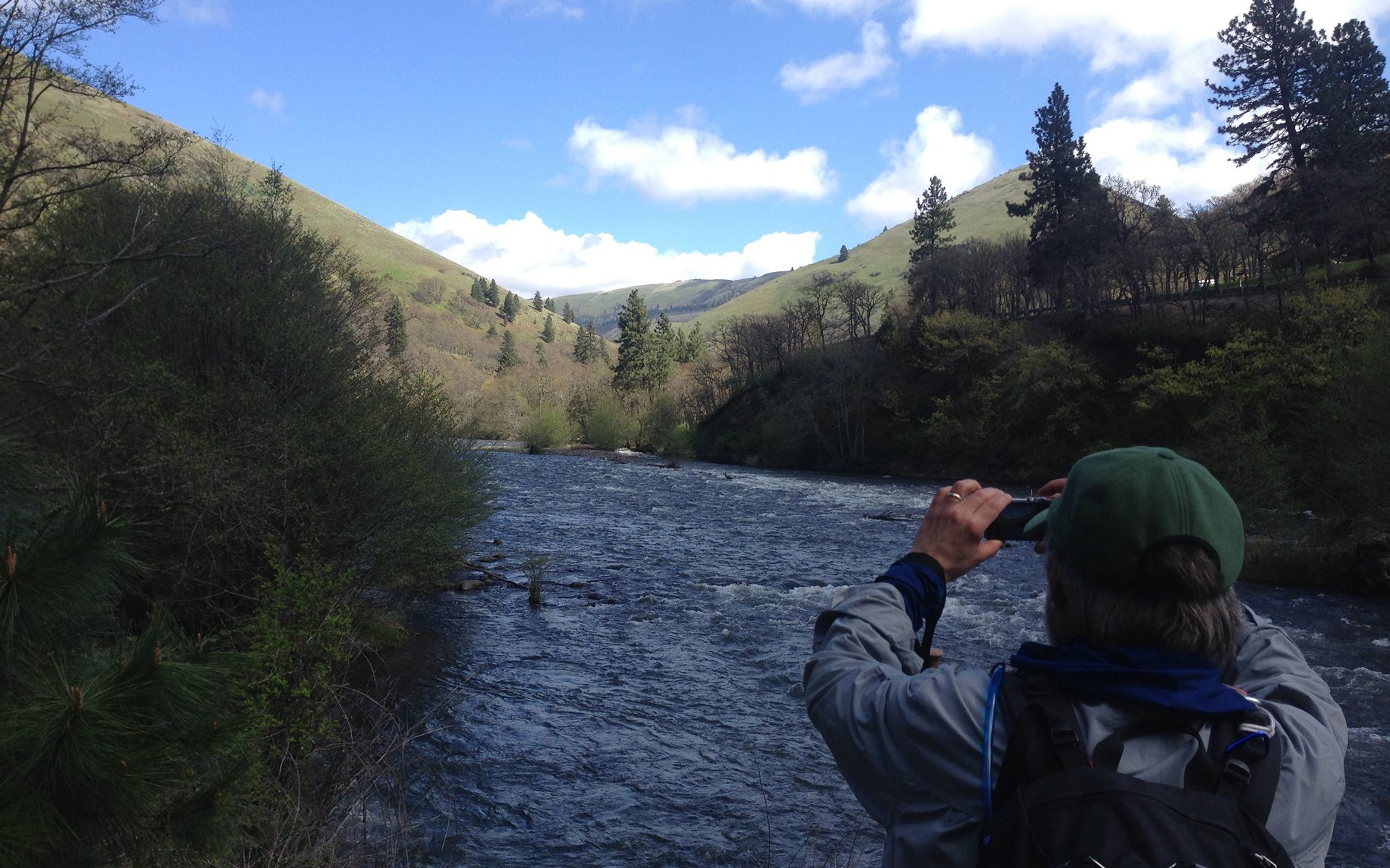
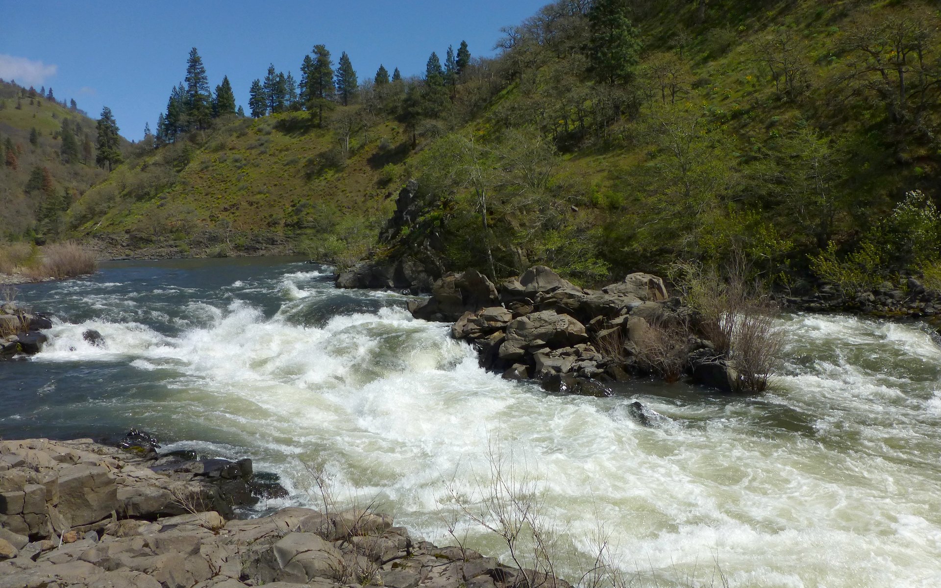
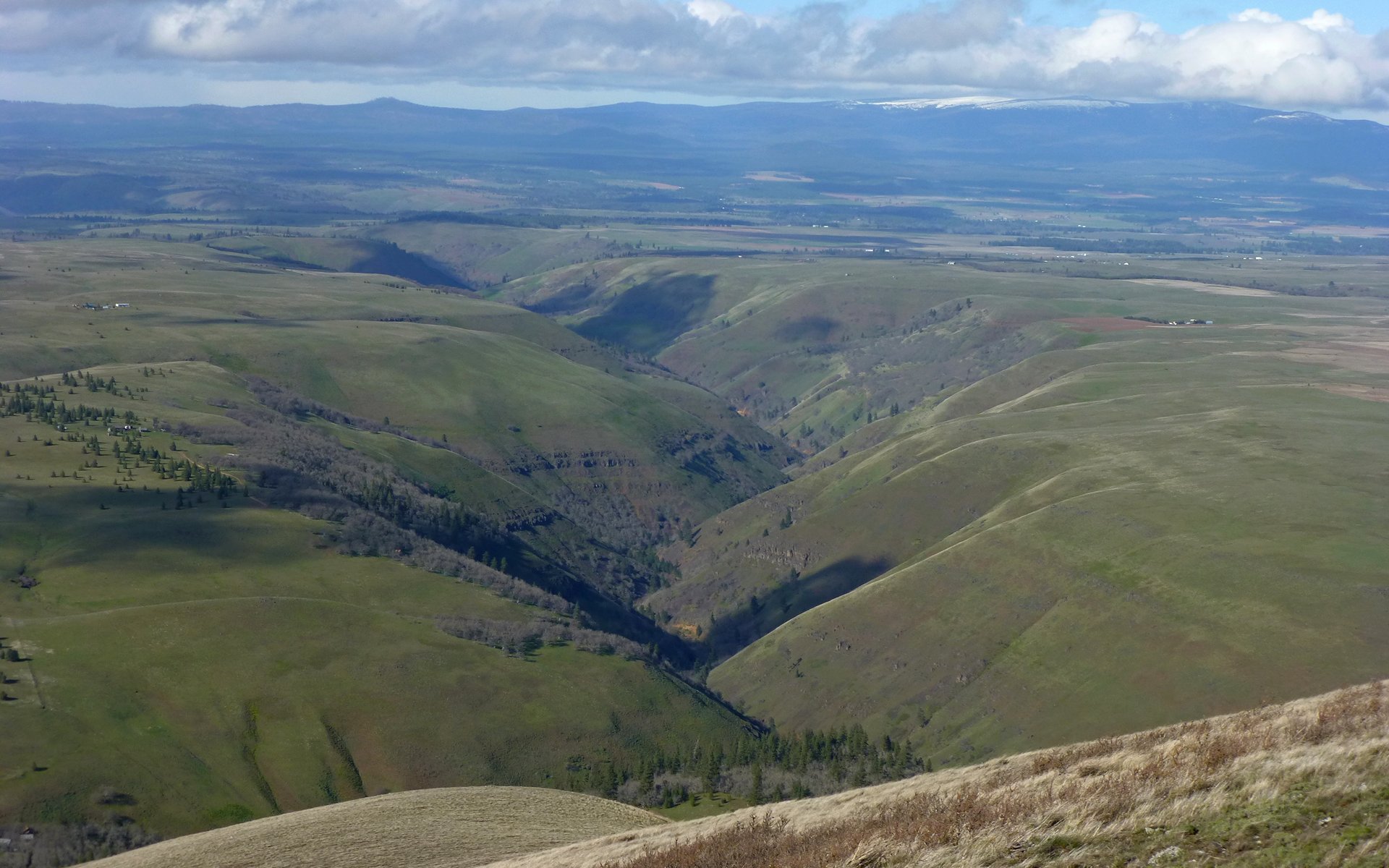
All along, we rarely left the company of the river. If not always filling our eyes with a view, certainly always within earshot.
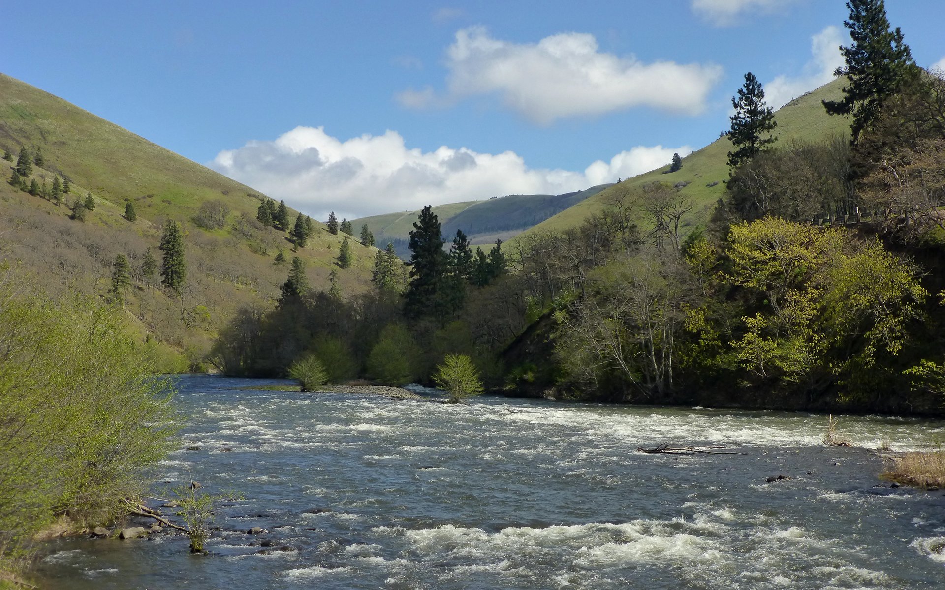
Gratuitous river shot. We waited nearly a minute for the clouds to move enough to allow the sun to illuminate the whitewater.
Before. (Photo credit: Tim)
After. (Photo credit: Tim)
We did part company with Buddy about nine miles in, where we crossed paths with the first group we'd seen all day going the other way. They had a dog with them, and agreed to try coaxing Buddy back to where we presumed he may call home. Who's to know, though? While he seemed quite happy with his new little border collie friend, he did offer us a lingering goodbye stare as we marched off.
So long, Buddy! "No sandwich for you!" (Photo credit: Tim)
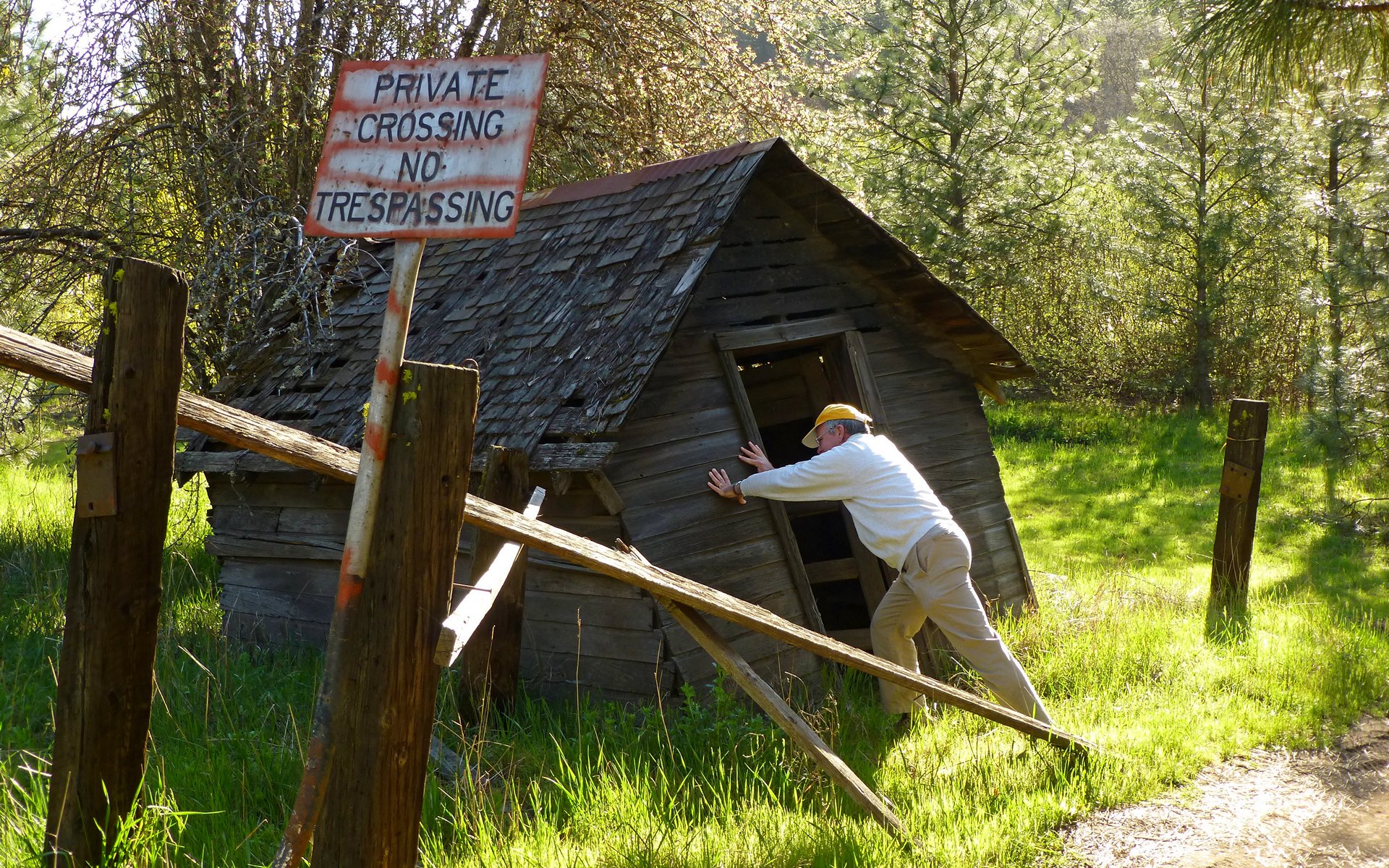
About two miles above Lyle, there's an incredible fishing complex! Not entirely sure what everything we saw was, but it was certainly all fascinating. Some highly mysterious. Some of it even a bit spooky!
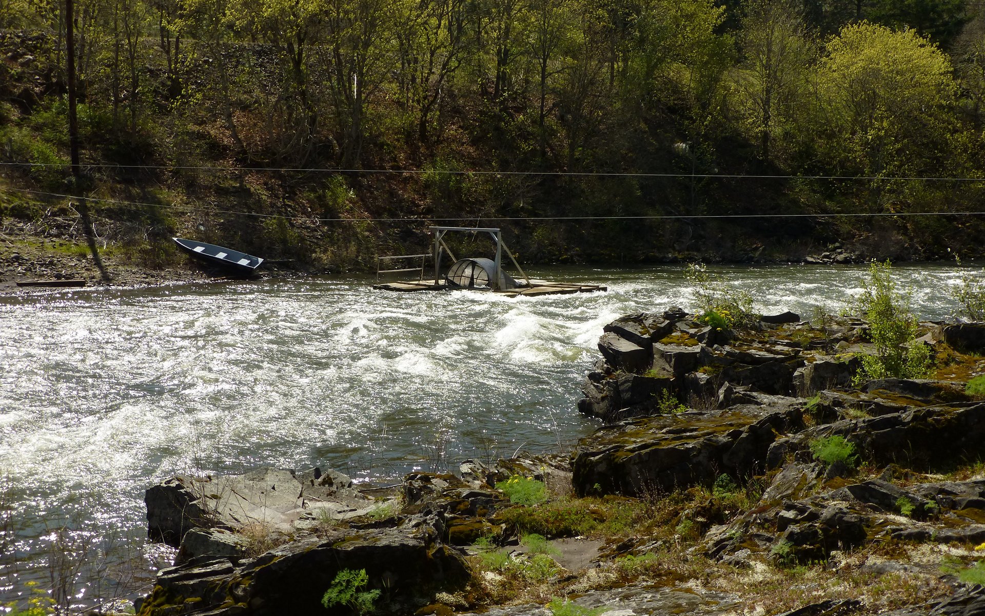
This is the weirdest. It was tied to the cross-river cables, that large cylinder spinning away. We thought perhaps it was collecting
something, but in retrospect I'm starting to think it was there to measure the stream flow?
EDIT: Both jerry and bobcat confirmed it's a stream flow measurement device. Video below.
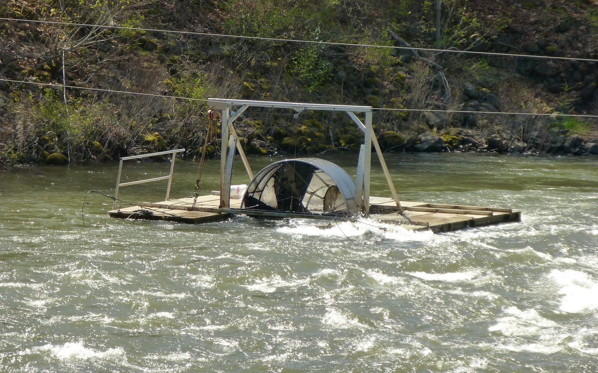
A bit closer shot. Those black blades were fashioned much like a propeller.
Klickitat River Stream Flow Instrumentation
This one's short. Just 10 seconds. Go ahead, click it.
The river was narrowing, and really starting to flow with a vengeance!
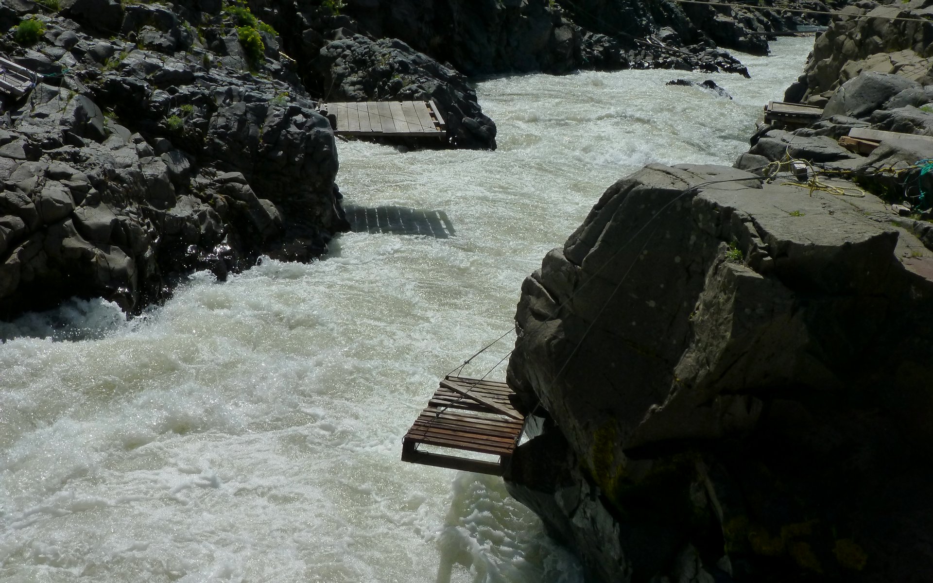
And at this point, there are perhaps a dozen, or more, fishing platforms suspended above the roiling waters.
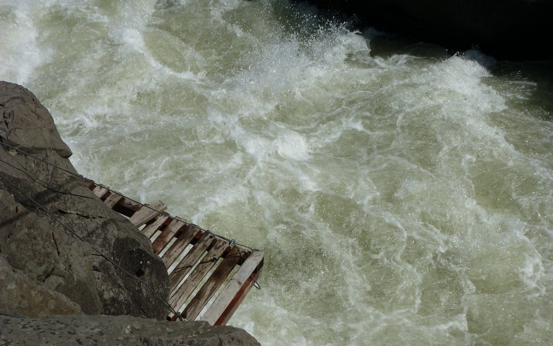
What The . . . ! ! ! I don't think so...!
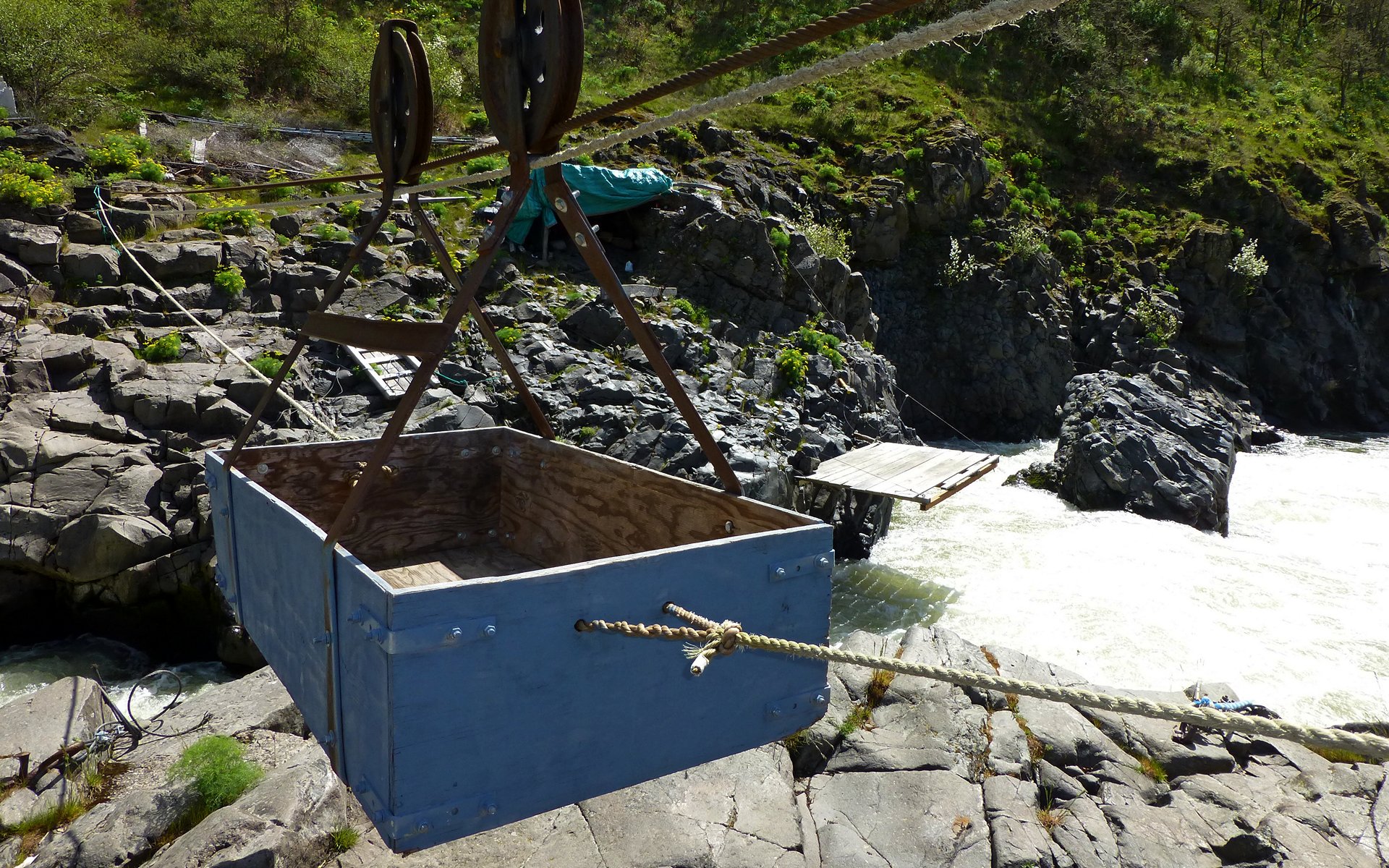
This was the most apparent method of crossing the river at this point.
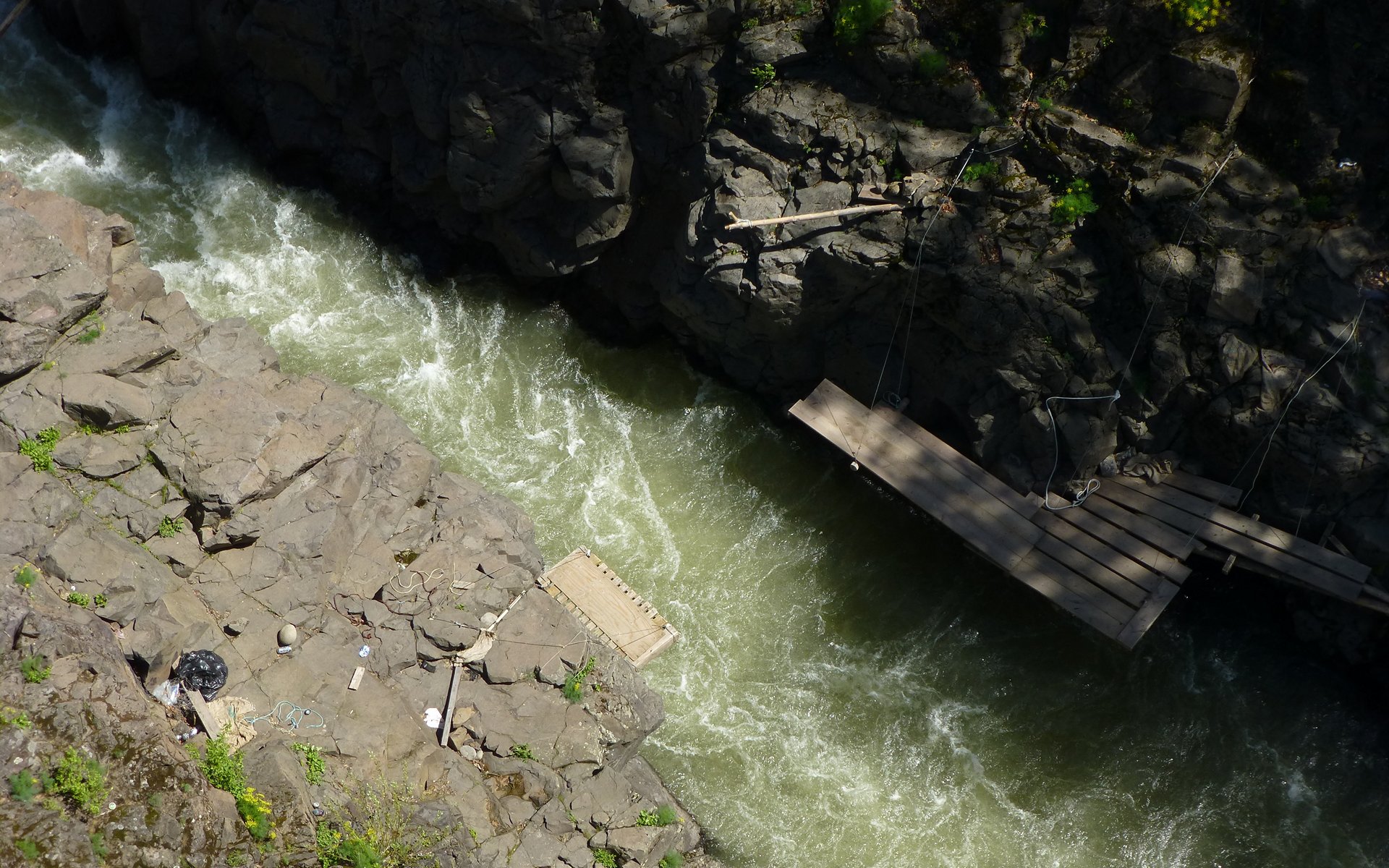
Yowsa!
The rest of the journey into Lyle was uneventful, but still beautiful. Eagles and ravens above, ducks and geese below.
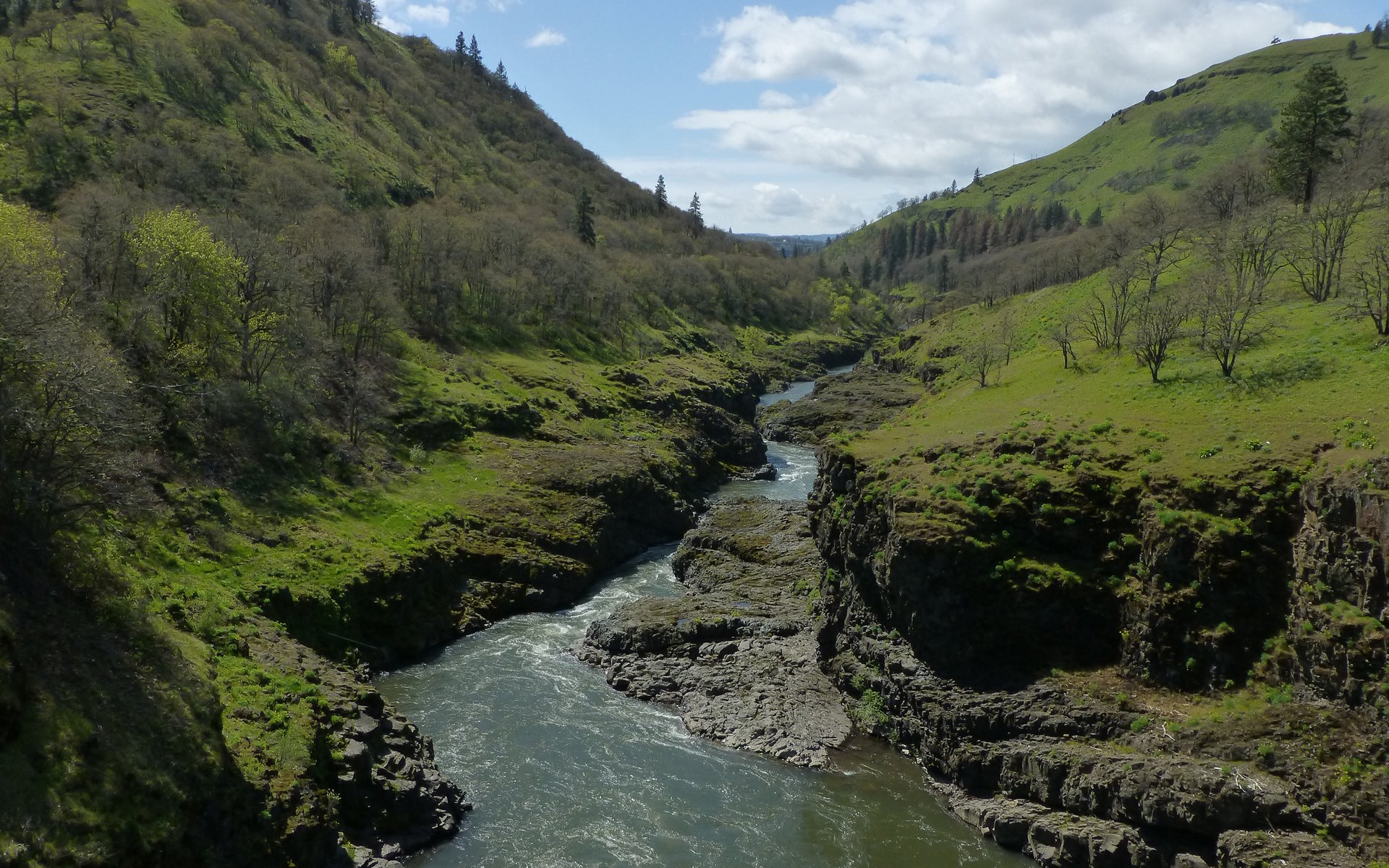
Gratuitous canyon shot.
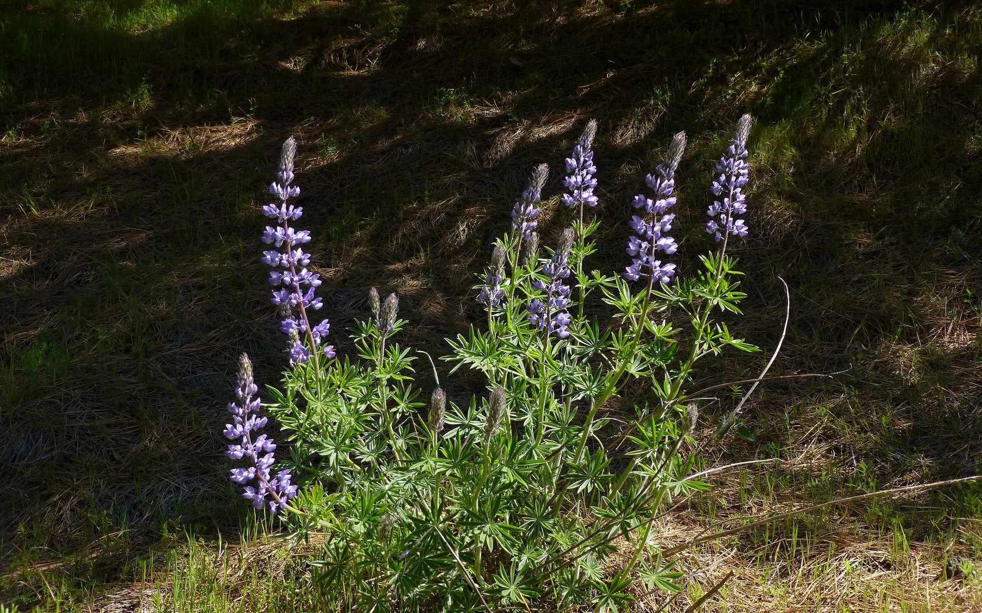
Gratuitous lupine shot.
We arrived back in Lyle about 2:00pm. Tim and I drove back up to Klickitat to retrieve my jeep, which took nearly 50 minutes round trip. (We did stop in the store to buy some snacks. A very simple way to say, "Thanks for letting us park here!") Meanwhile, Peder made friends with the local barmaid.
Stacker Butte
After we rescued Peder from the Corner Pocket Bar & Grill in Lyle, we drove just past the intersection of SR-14 and US-197, turning north on Dalles Mountain Rd. This was a fairly nice gravel road that went up Dalles Mountain (duh?) to the Dalles Mountain Ranch, which we stopped at for a quick look-see. Then, we took the turnoff there, and headed up, up, up to the Columbia Hills Natural Area Preserve.
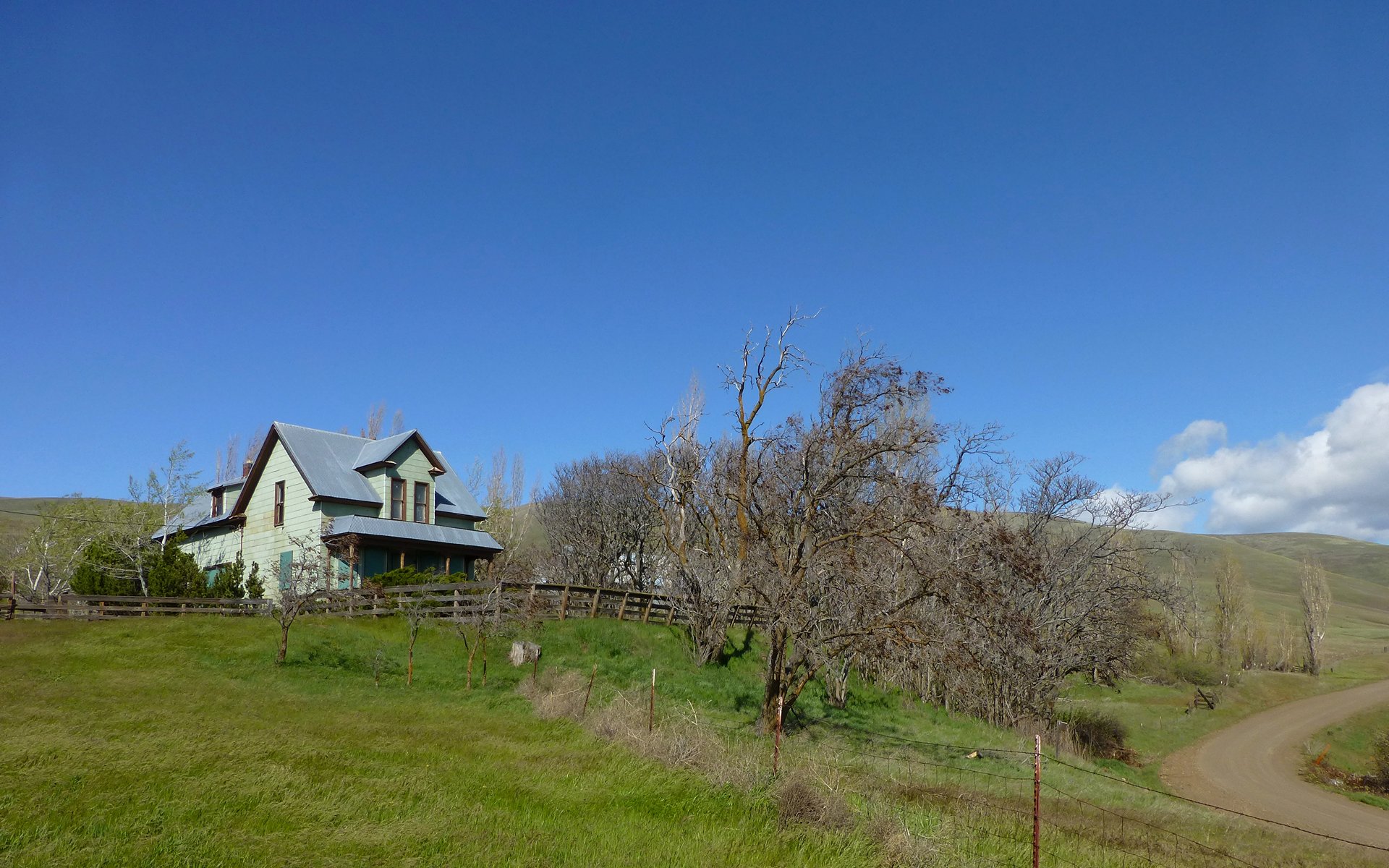
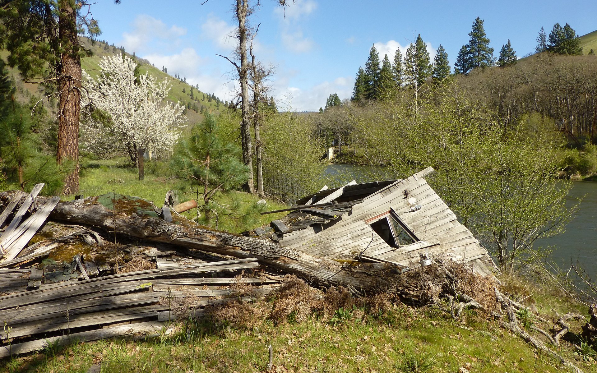
Abandoned ranch house at the Dalles Mountain Ranch.
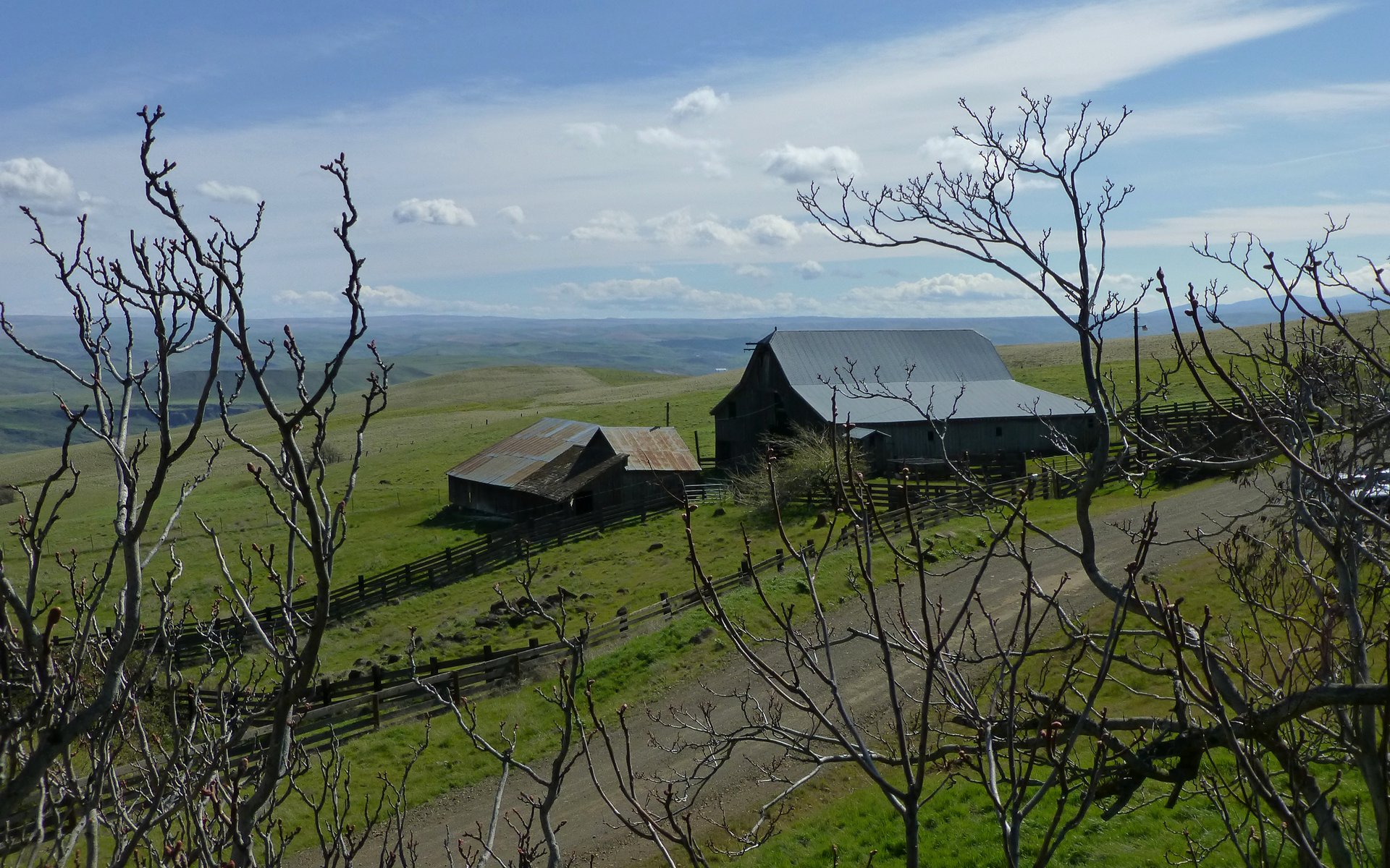
Abandoned barns and corral at, repeat after me, the Dalles Mountain Ranch.
The road up to the Stacker Butte trailhead was also gravel, and considerably steeper than the first one. My old jeep got the temp gauge up to nearly 200°F during the climb. The side of the road was freakin' glorious!
Are you kidding me?!?
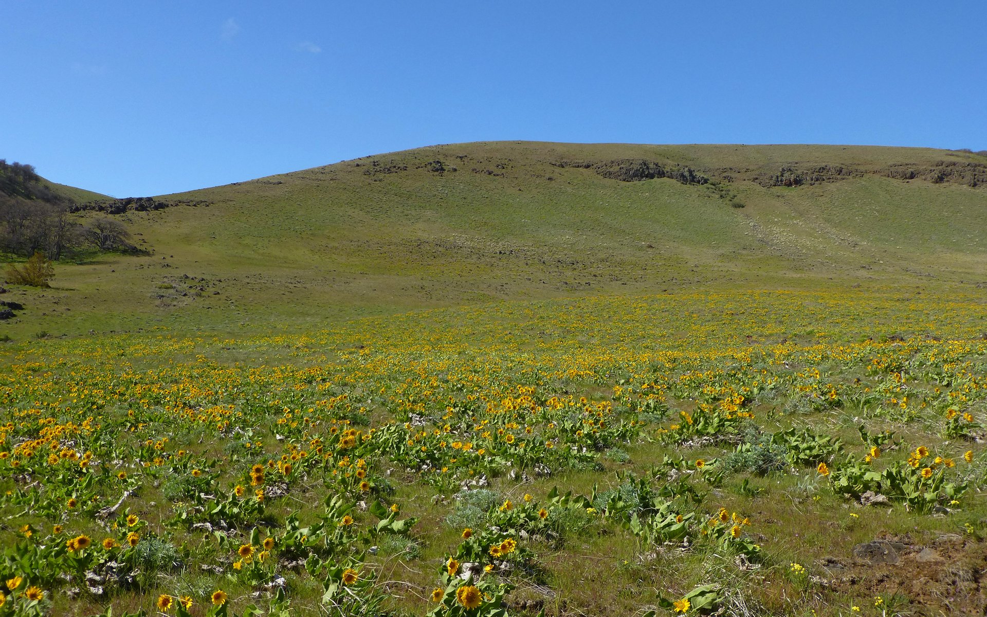
Beautiful country, just starting to explode in color! I'd have to guess that anytime in the next month would be a great time to visit!
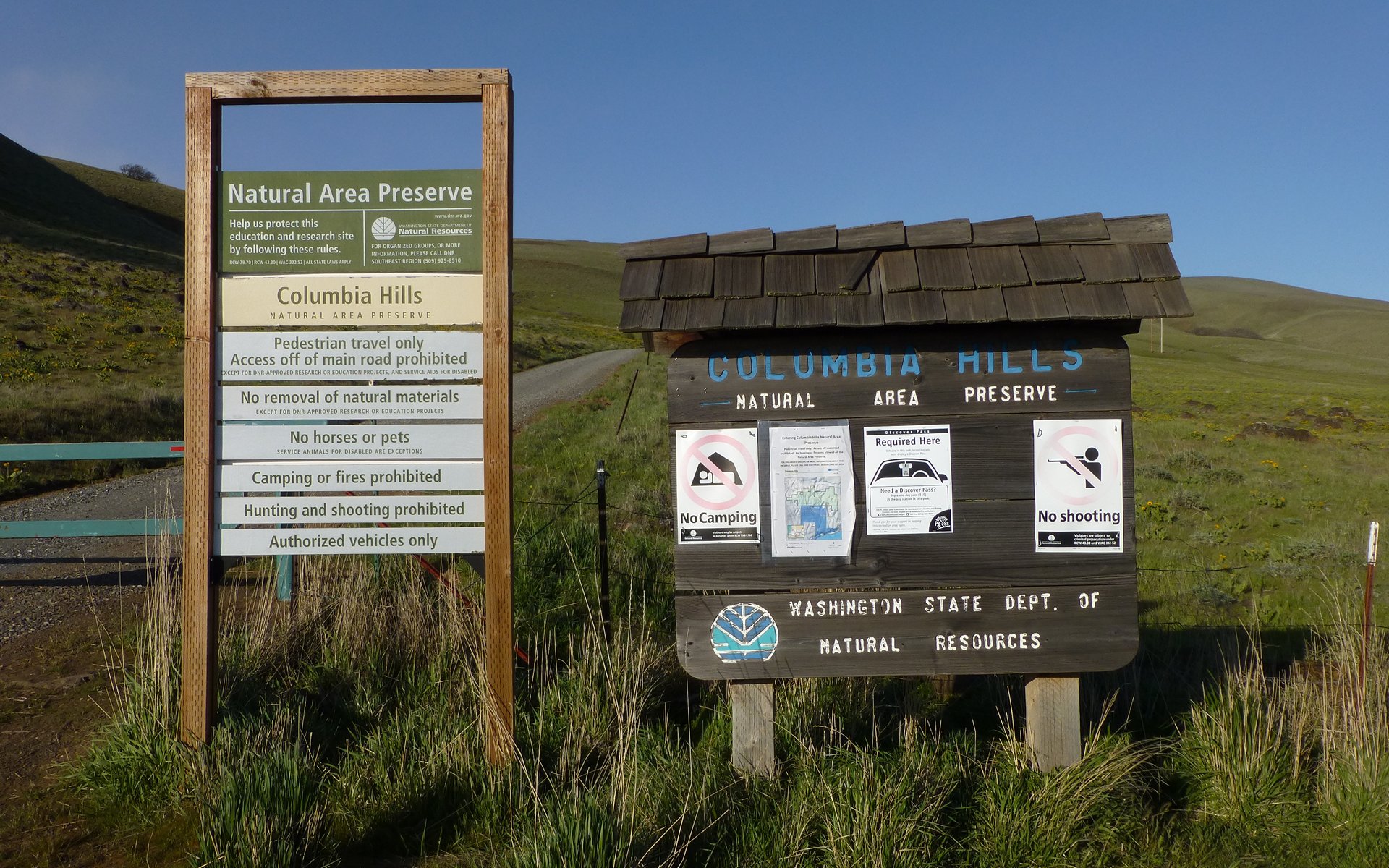
The road is gated at the trailhead. Discover Pass Required!
Edit: Discover Pass vendor list.
There were more flowers blooming all the way up. Well, especially at the bottom, and less at the top, but that's certain to change over the next few weeks.
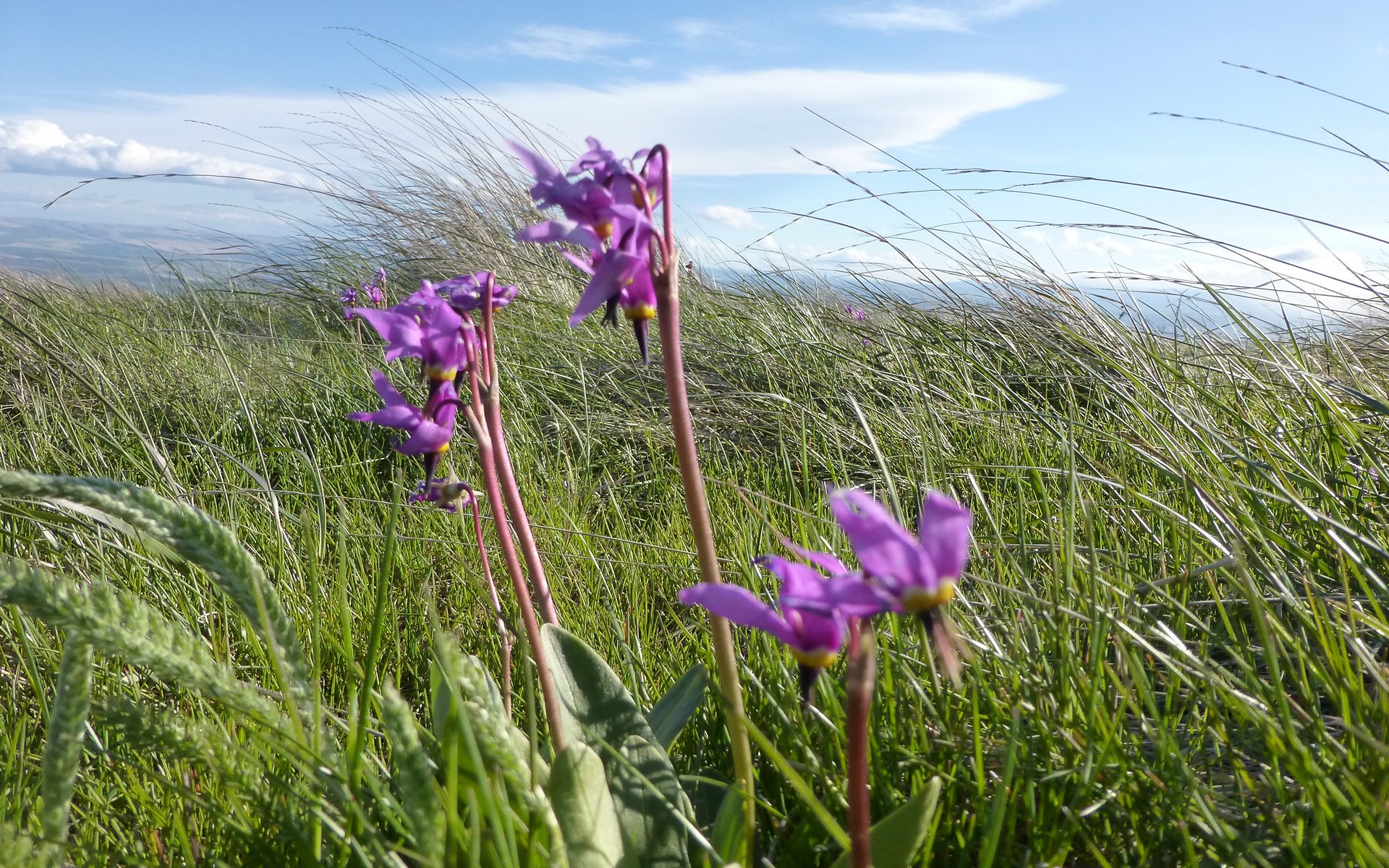
Shooting star that even a 1/800th shutter couldn't hold still!
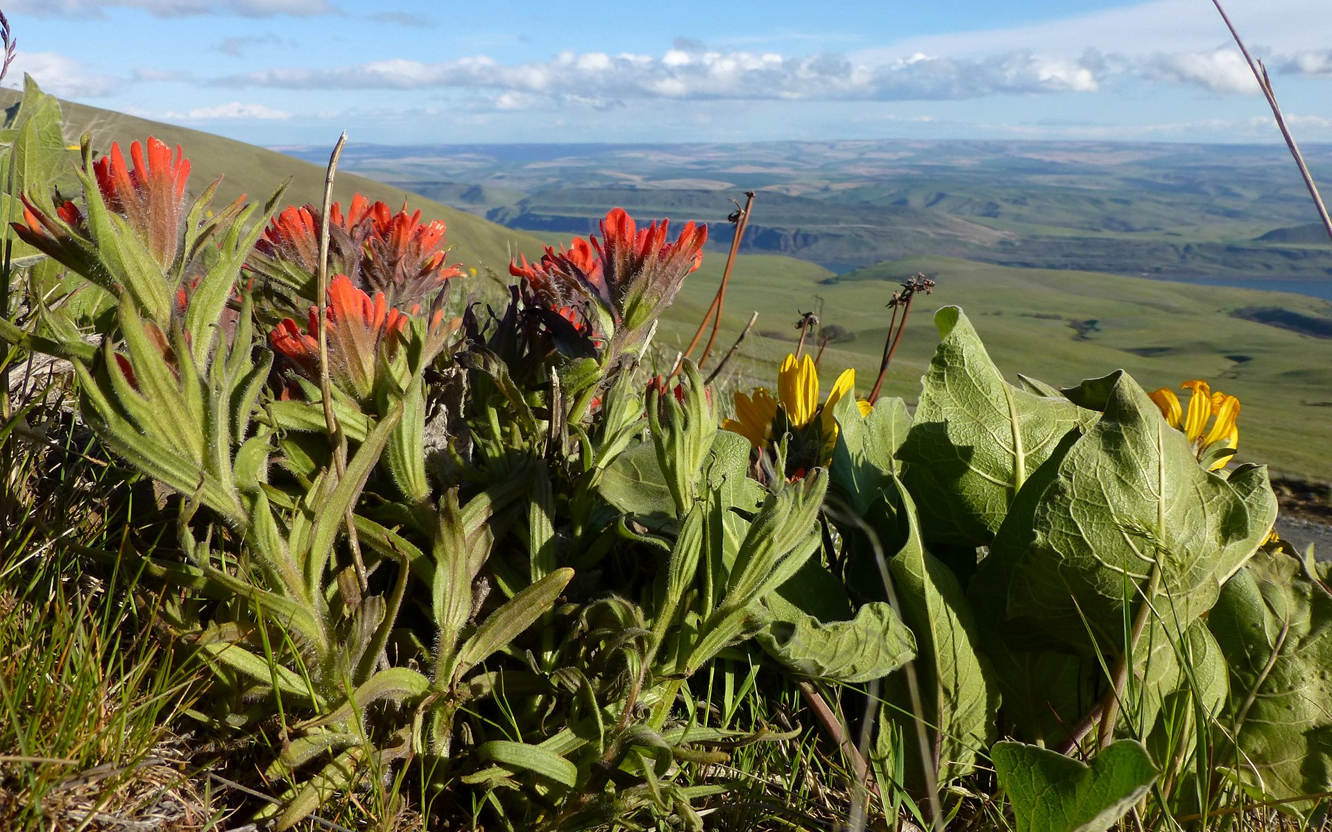
Paintbrush and Balsamroot
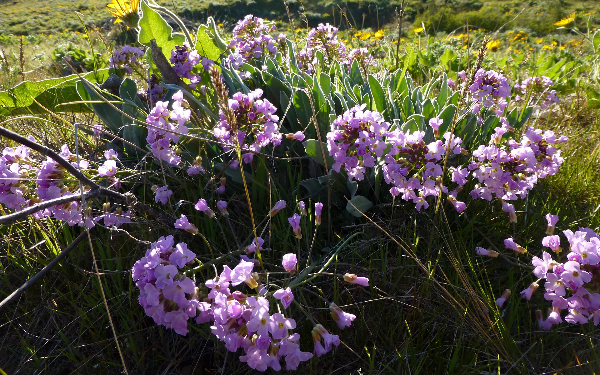
No idea. ID?
EDIT: bobcat says: Dagger pod (Phoenicaulis cheiranthoides) - Mustard family
The landscape was stark. No (natural) trees for the birds.
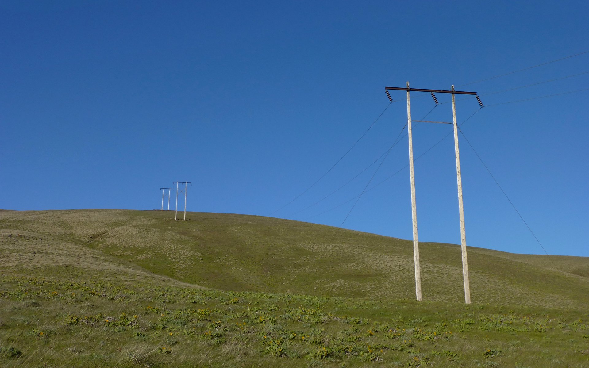
Powerlines running uphill away from The Dalles Dam.
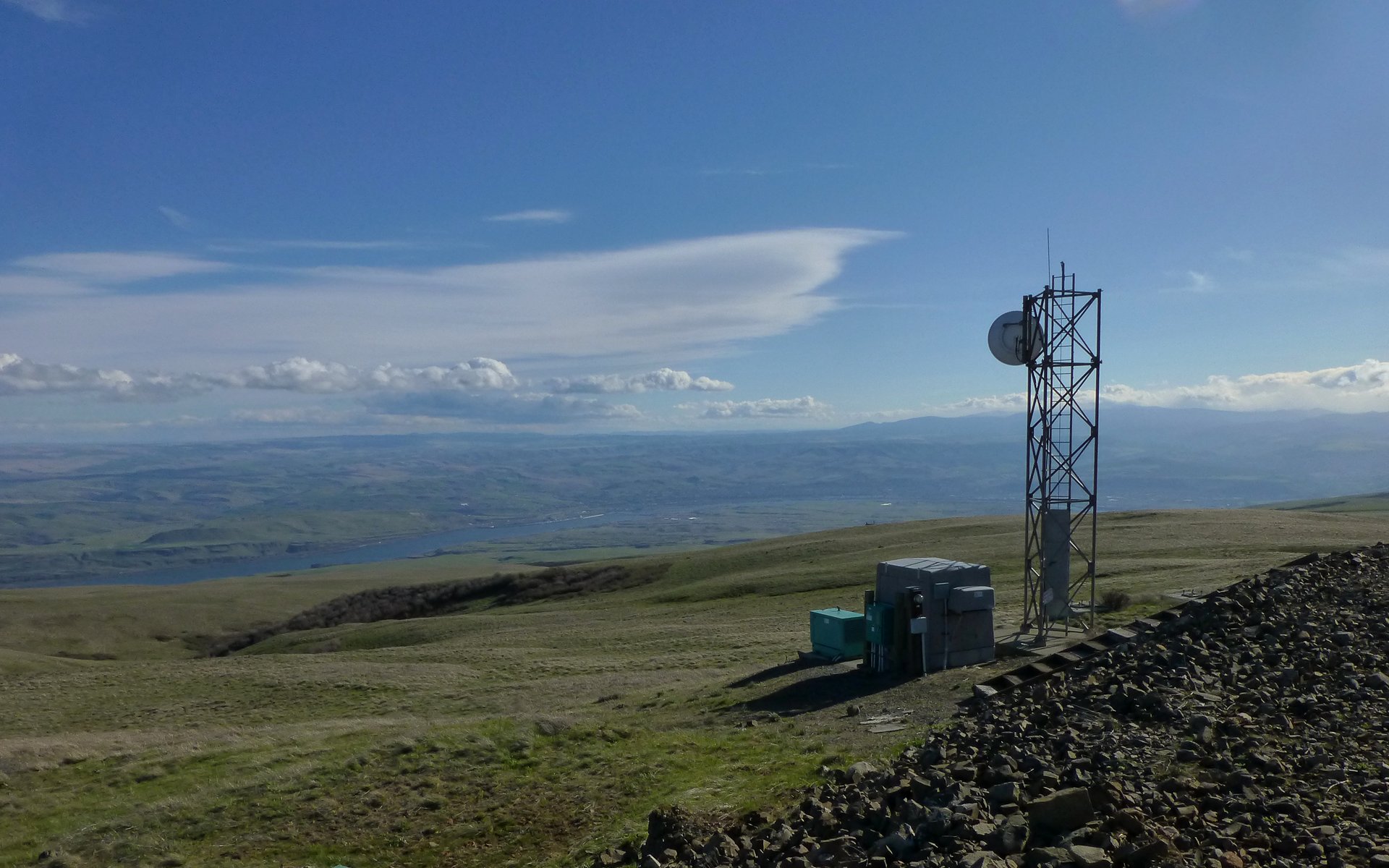
Communications equipment.
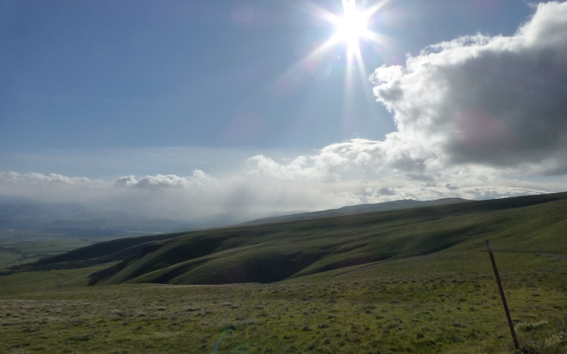
As we crested the summit ridge, I swear, I thought, "This be where the aliens land!" I was having visions of X-Files, while Tim and Peder were talking about Dr. Who (which, sadly apparently, is a major hole in my sociocultural education). We encountered one of The Weirdest antenna things any of us had seen before... I WANT TO BELIEVE
Ground Control to Major Tom!
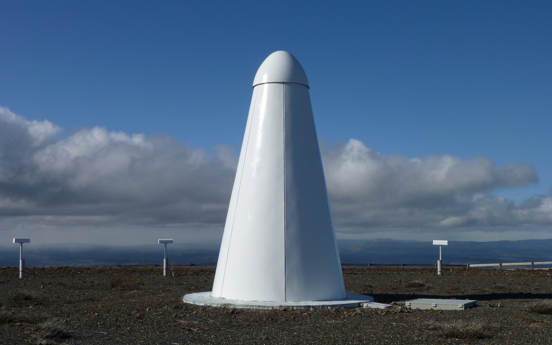
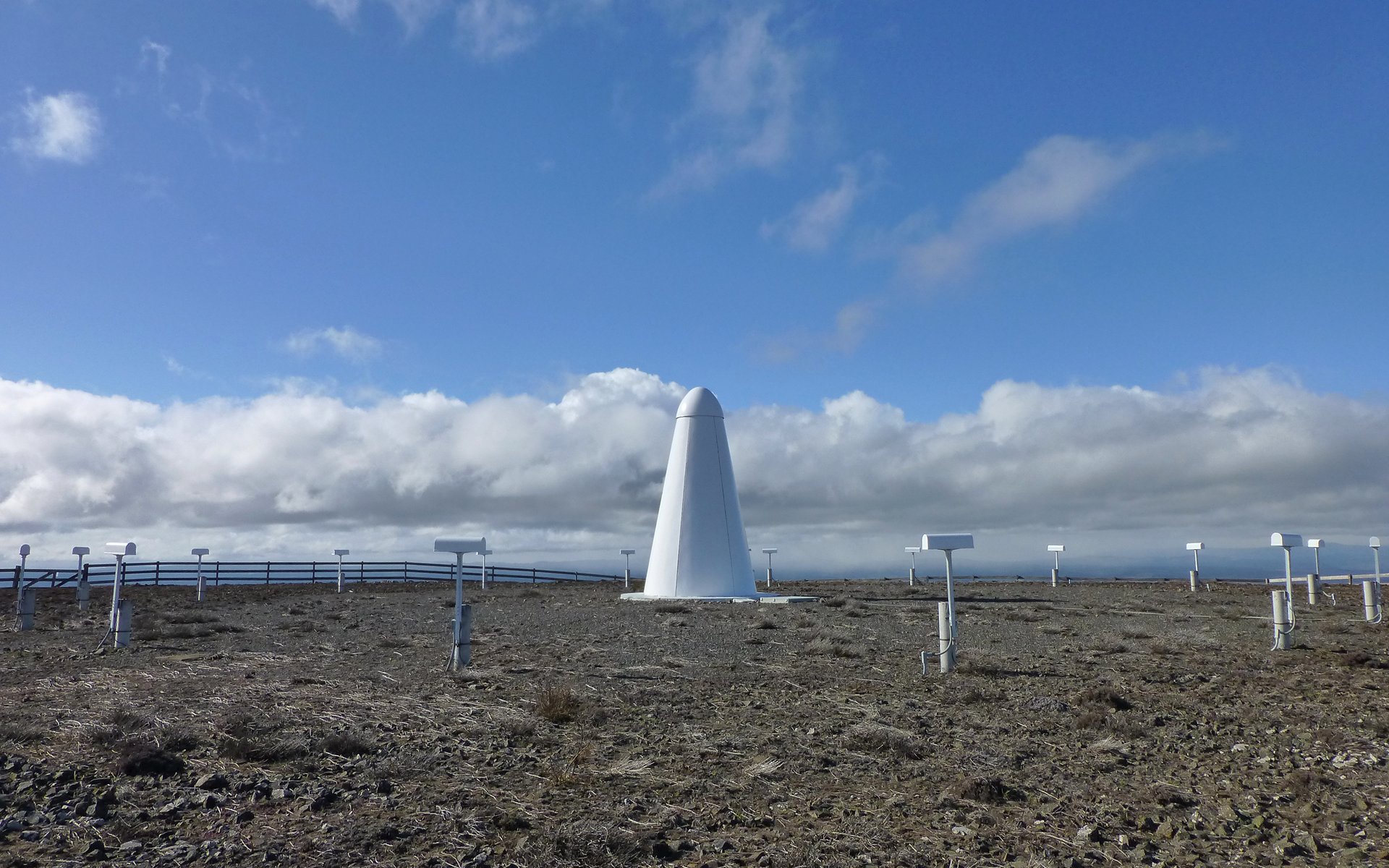
Obelisk in the desert, perched alone on a barren mountaintop... Hmmm...
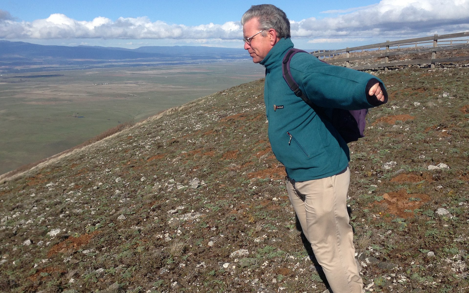
You may have heard about the wind out east on Saturday? Well, I'm here to tell ya, you didn't hear the half of it! It was HOWLING on Stacker Butte! As we climbed, we tried to guess just how fast. By the point we were halfway up, we felt sure it was stronger than sticking your head out the window while going down the freeway. On top, it would easily blow you over if you weren't strongly braced against it. We had a freakin' ball! Not that we could very easily communicate that to one another, other than by facial expressions.
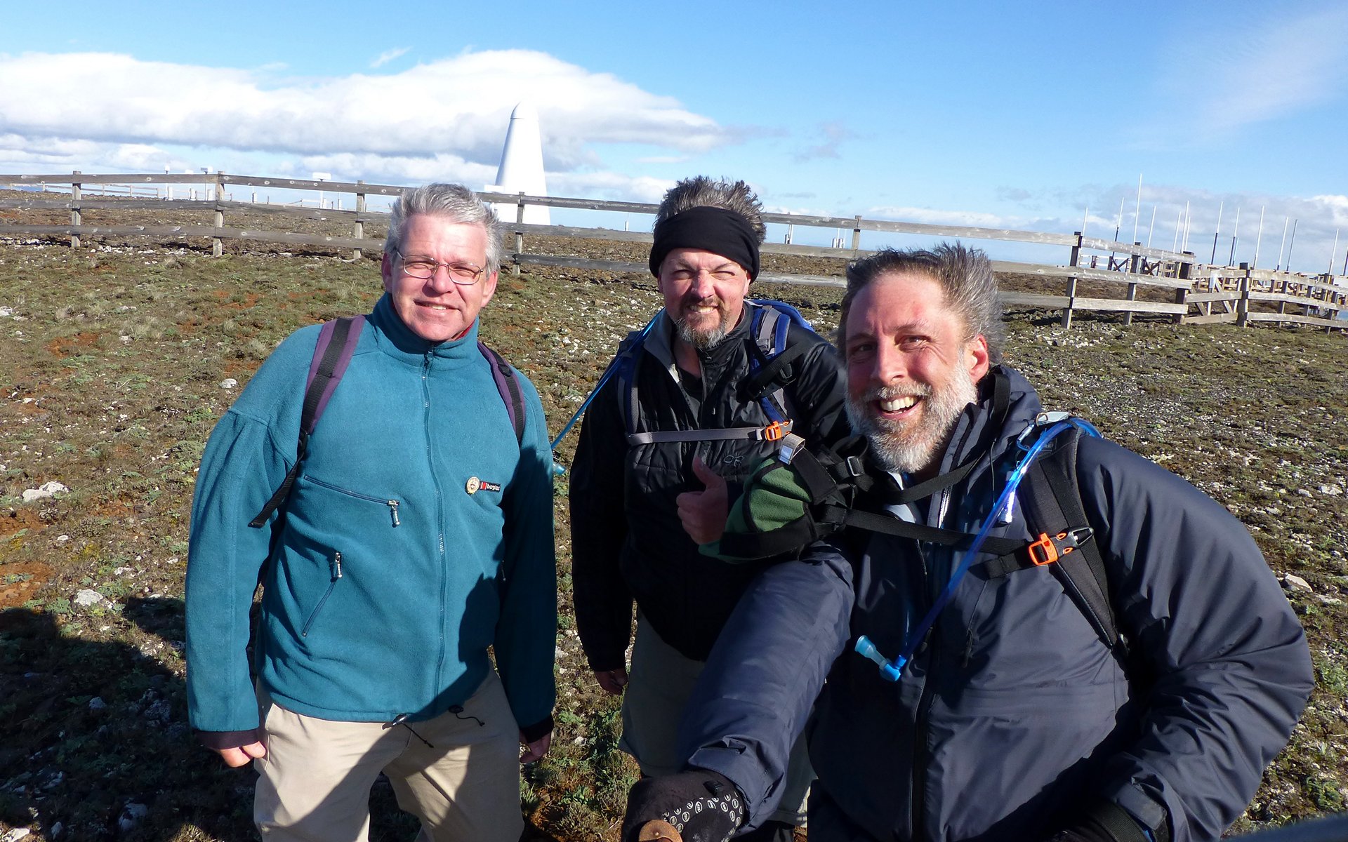
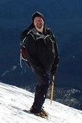
Trying our best to pose without bonking off one another in the wind!
Peder, about to take flight! (Photo credit: Tim)
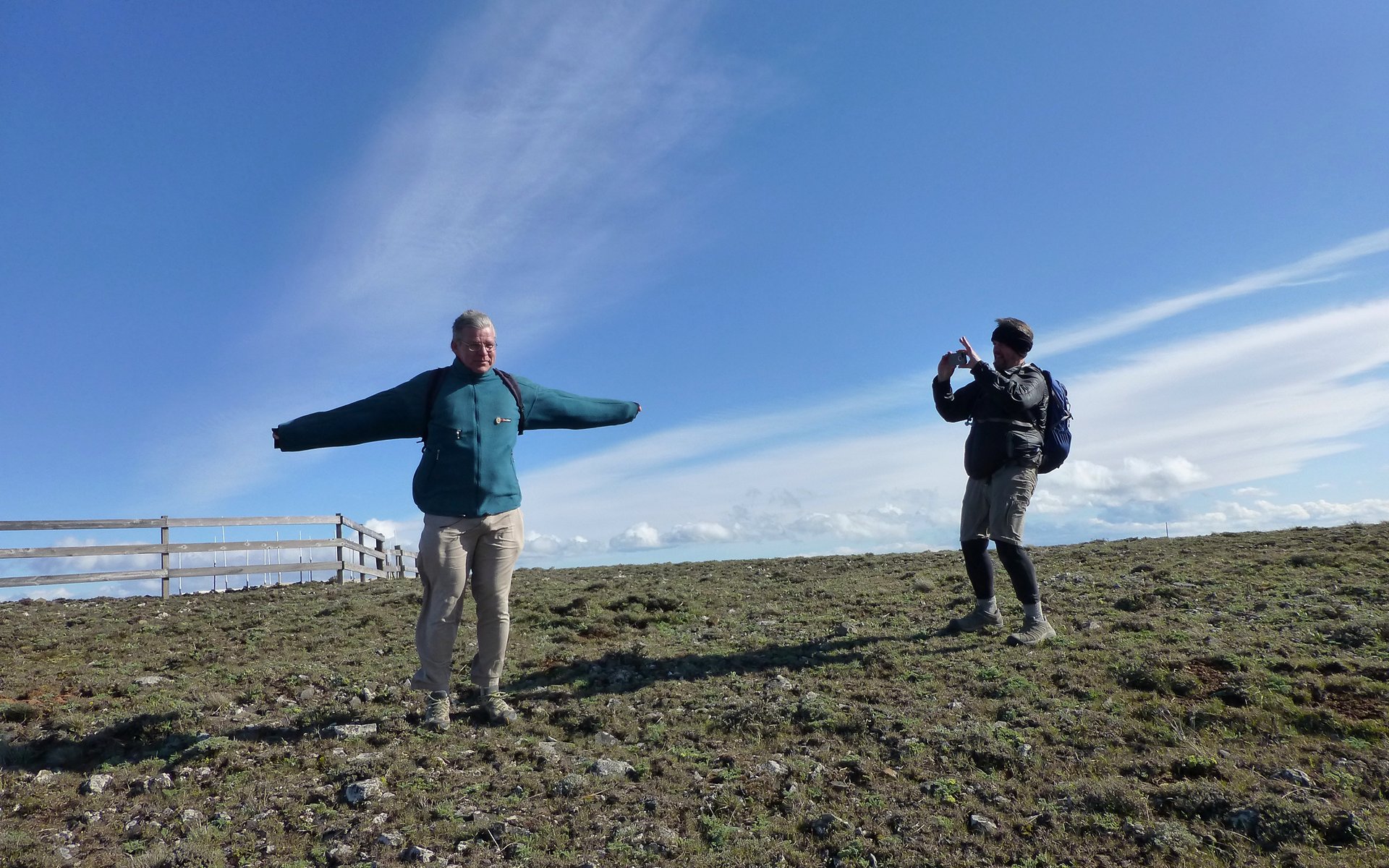
Tim trying not to fly away, as Peder does just the opposite.
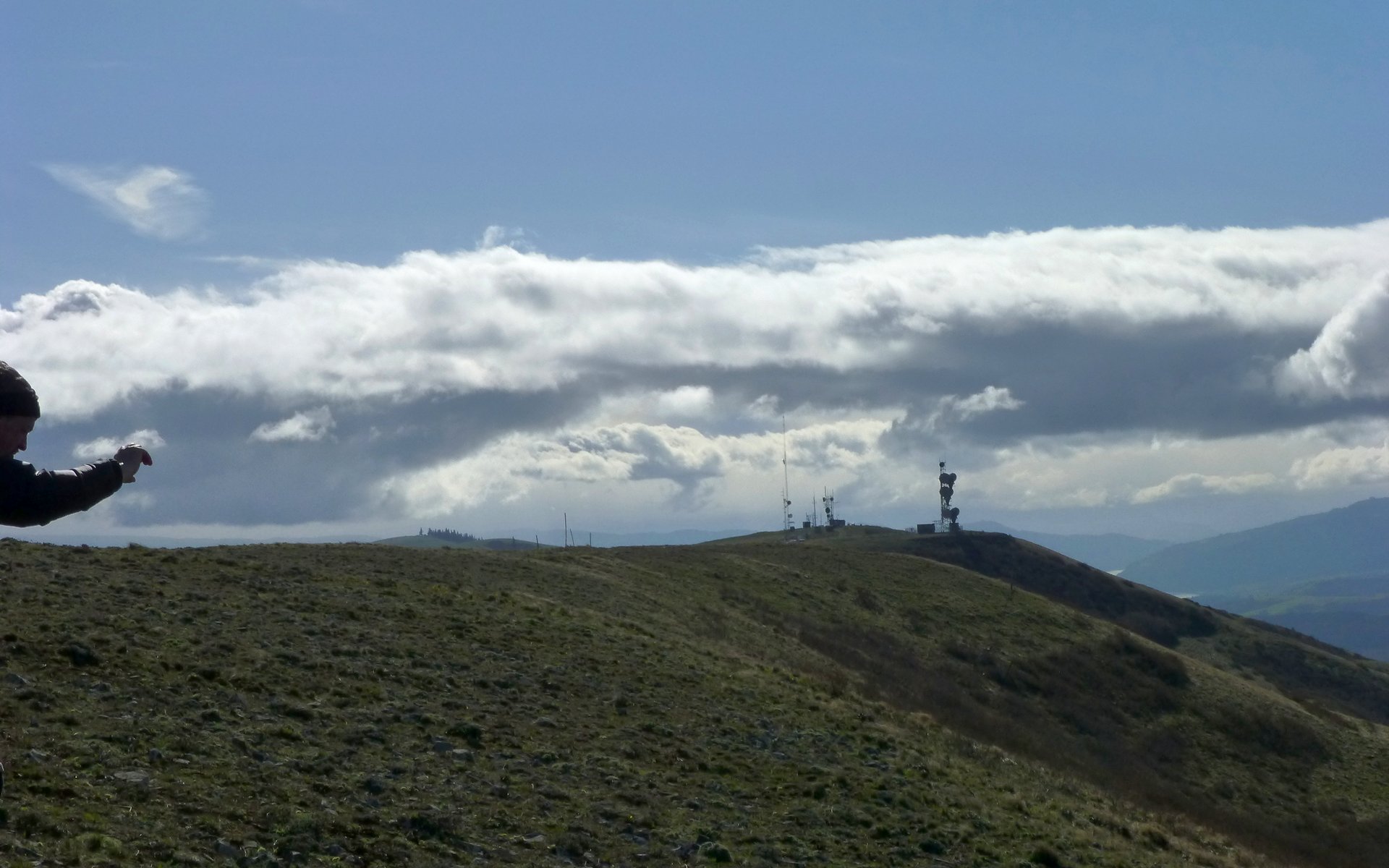
There was more comms stuff farther down the ridge, but we'd tagged the summit and were frankly just fine with that!
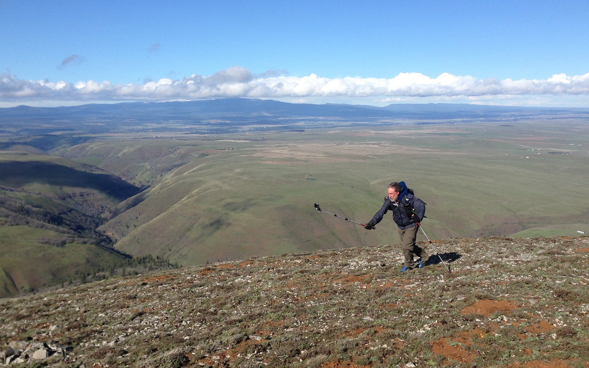
Here I am, trying to film the wind.
Stacker Butte Summer Breeze
New & Improved Video, v2.0, now with more photos, better transitions, and HD!
In the background above, is Swale Canyon, another hike I did three weeks ago. That one's far starker than the Klickitat River Trail. Both are highly recommended!
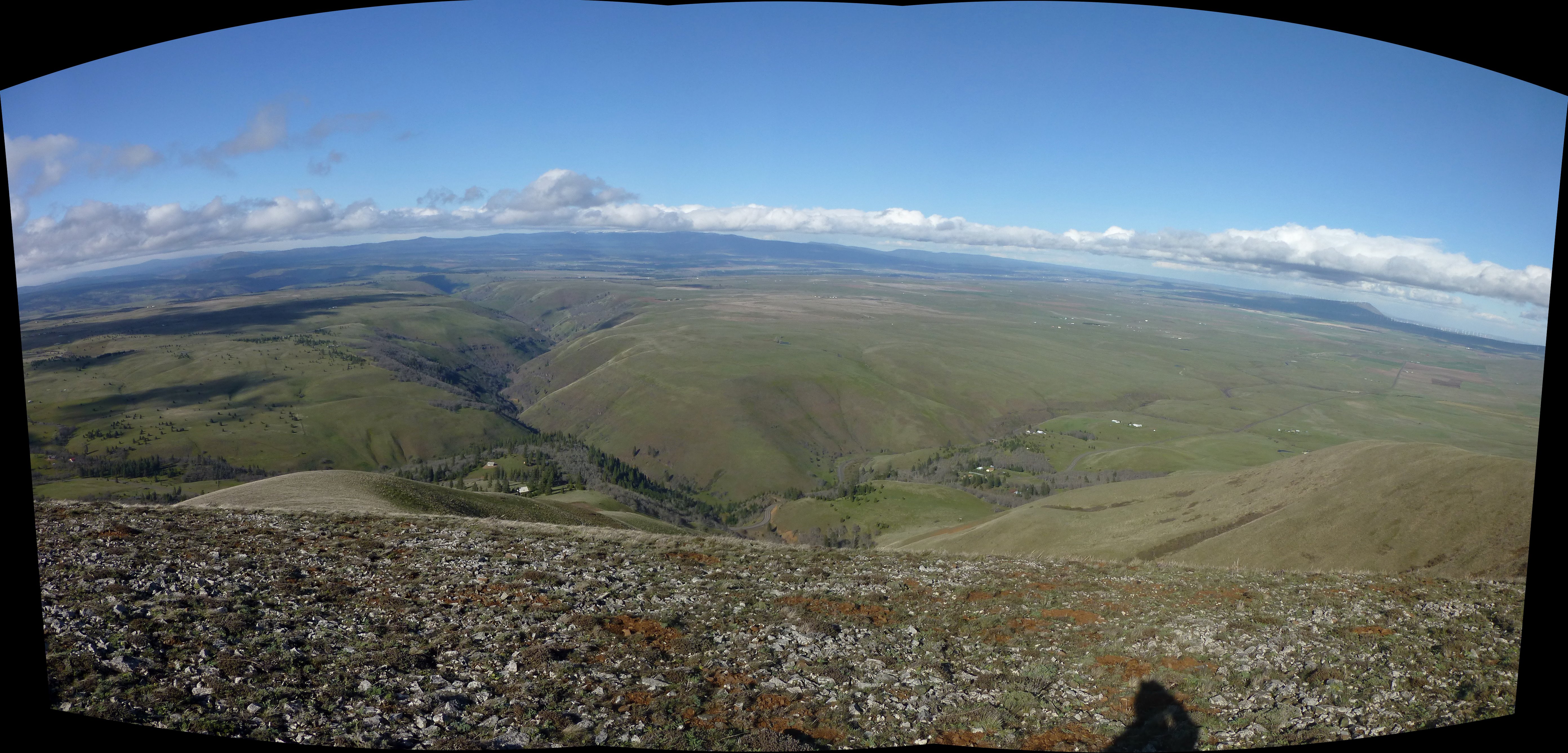
Three-image panorama of Swale Canyon from Stacker Butte.
Interactive Photosynth
Looking down the heart of the deepest north-south-running portion of Swale Canyon.
Time to go!
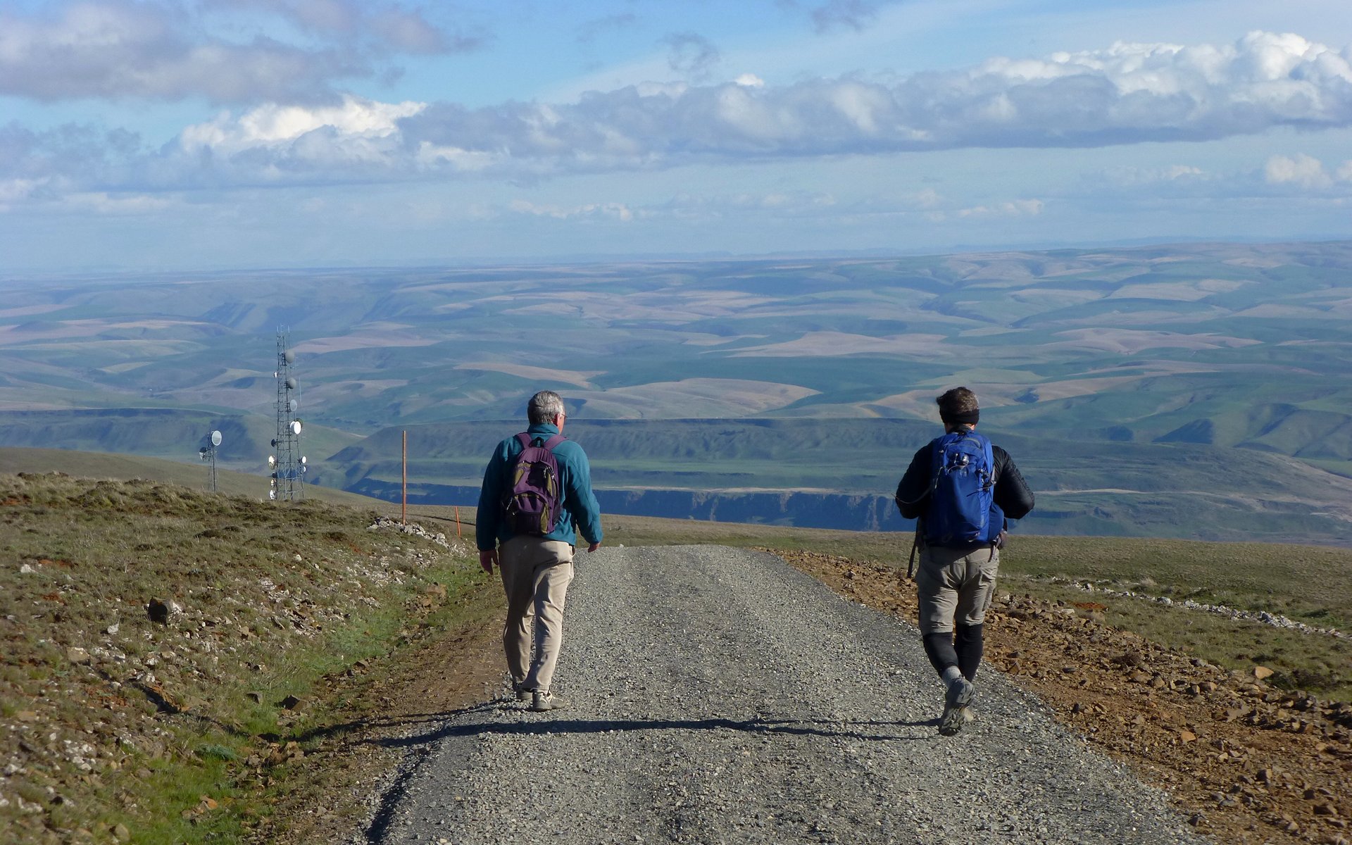
The "trail" up/down Stacker Butte is really a nicely graveled road, which climbs about 1300' in 2.5 miles.
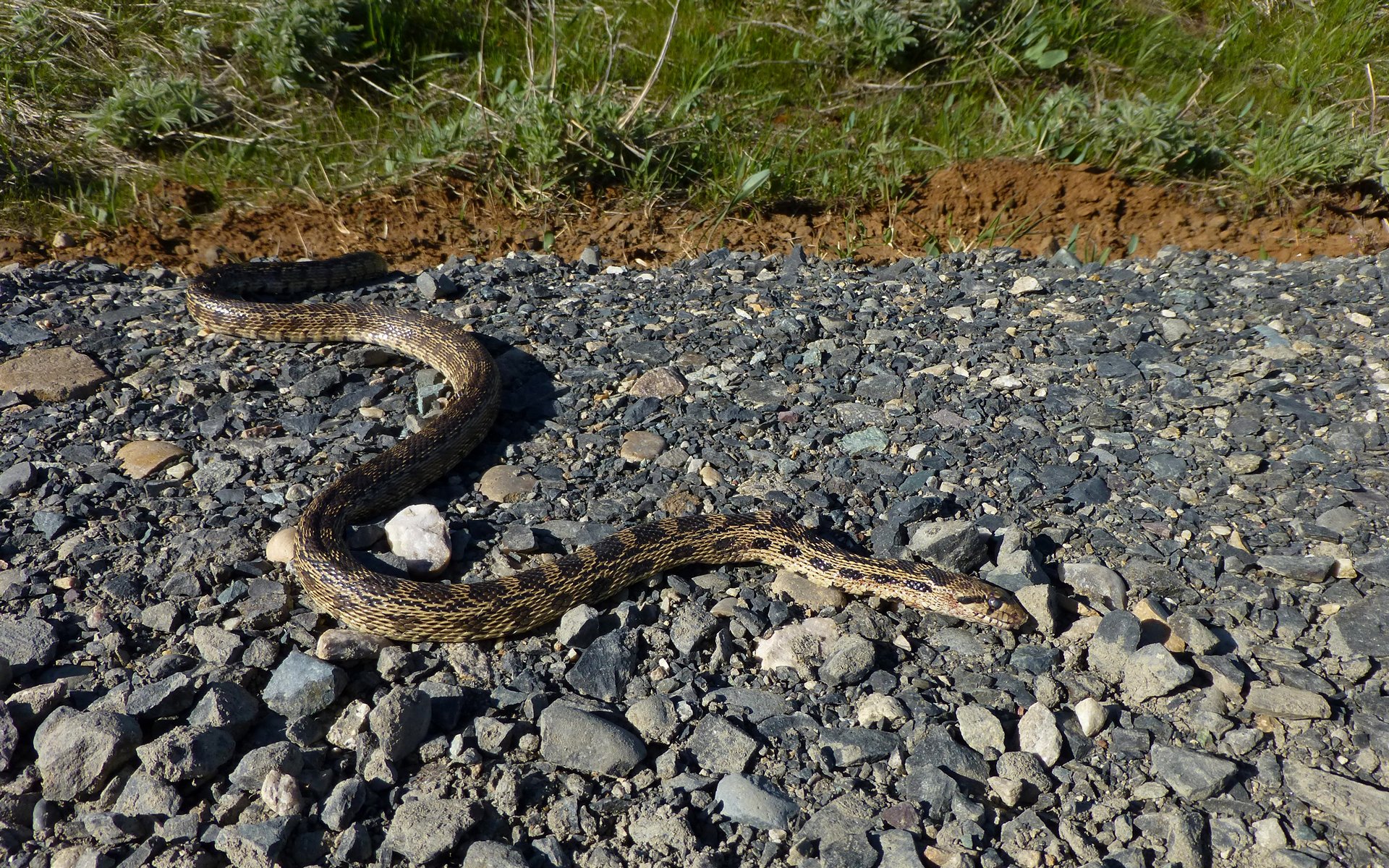
Despite the gate, this little guy still managed to end up forever in the road. We definitely had a better day than he did!
Final stats: 13.9 + 5.1 = 19.0 miles, and roughly 300' + 1600' = 1900' EG, all day combined.
Klickitat River Trail, 13.9 miles, 300' EG
http://gpsfly.org/gps_map.php?gps_id=2312&w=645&h=440
Stacker Butte, 5.1 miles, 1600' EG
http://gpsfly.org/gps_map.php?gps_id=2318&w=645&h=440
It was a great, dry, sunny day in the desert!!!
(We missed you, Jim!)