But I didn't really have anything all plotted out in my mind. I'd kind of been thinking this was a weekend to "get stuff done." I recalled EP's recent jaunt up the Elevator Shaft, and thought that seemed like both a great place to start and a pretty close one at that. I'd never been there, either. Decided. I hit the trail about 11:45am.
Same shot EP offered, I know. What I didn't know was this is looking down the lower section of The Shaft!
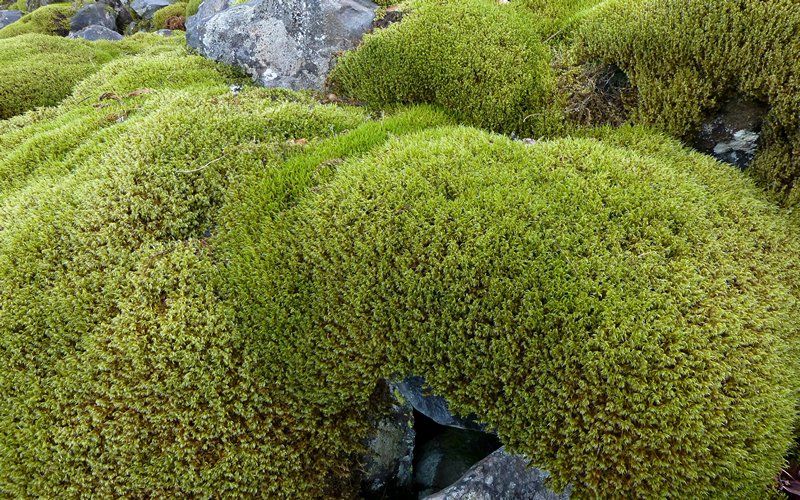
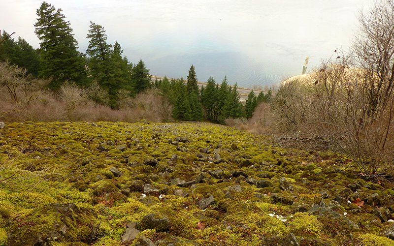
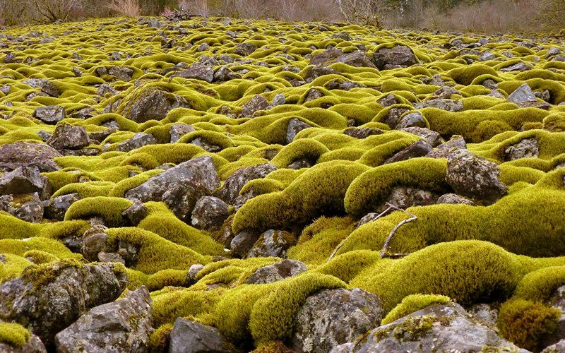
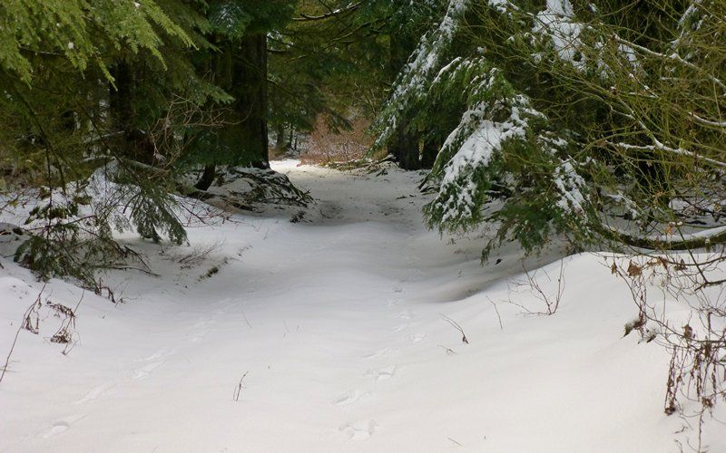
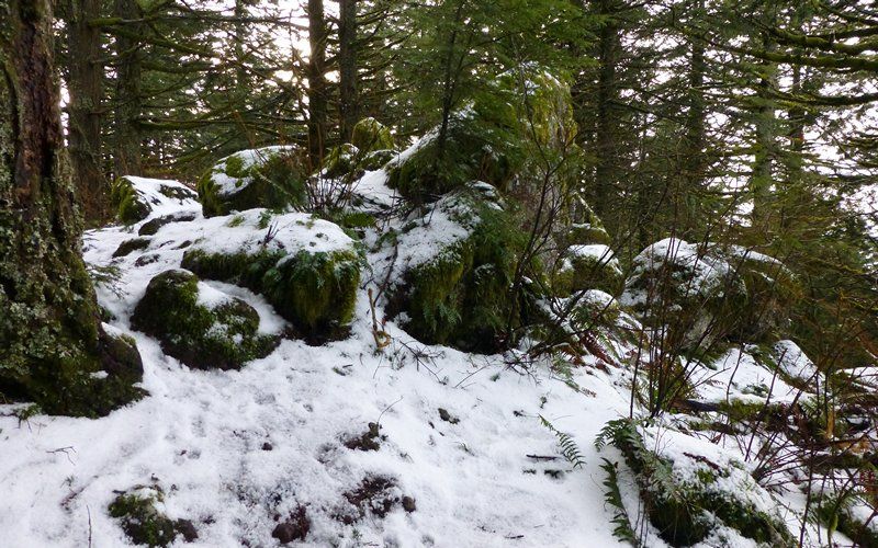
The incredibly lush moss blanketing the Elevator Shaft was a delight to travel through.
I was debating whether to even bother with a trip report, but I also had a new camera to play with so I thought I may as well share "a few of my experiments" and that maybe folks would be curious about the snow levels, too?
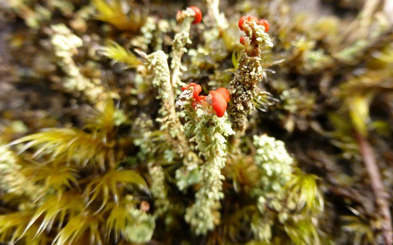
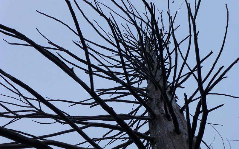
Testing out the close-up feature on a peculiar lichen. (I think?)
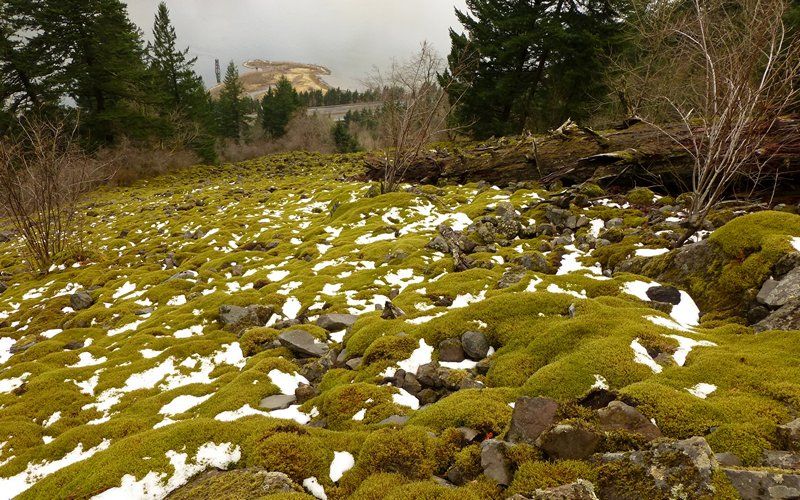
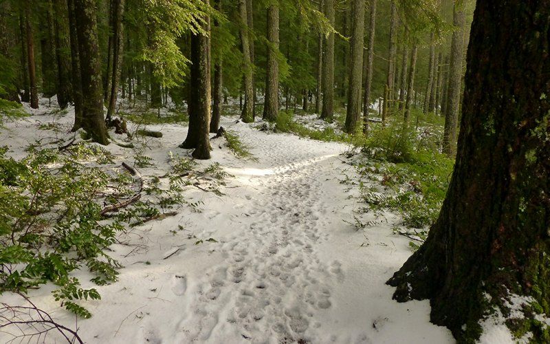
I was really happy at having arrived at "the top" of the Elevator Shaft in something less than 30 minutes. Took a few photos to mark the occasion, and began climbing through the woods. Uhhhh... There's like 700' more shaft to go, here! Heh, someone really should've read the Field Guide on this I suppose.
Looking up from the short wooded section at, what turned out to be, the top of the lower shaft. Another 700' to go.
Finally at the top, 53 minutes after leaving the 400 trail about 1/2 (horizontal) mile behind.
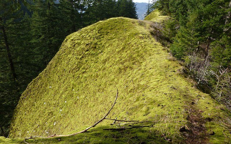
If you do this, and the weather isn't treacherous, I'd highly recommend detouring to the right at the top of the Shaft! Very cool little green-carpeted knife ridge leading to a viewpoint of the MF parking lot.
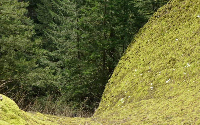
I would imagine this isn't a place you'd want to be in very high winds!
Far more shafty than The Shaft!
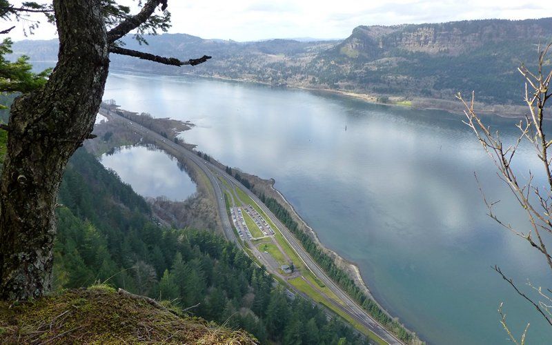
View of MF Parking Lot. Watch your step here. Maybe grab a tree or something.
Heading back up the green ridge spine, and into the woods, the climb continues. Another (highly entertaining!) thread called the next part "probably the steepest user trail in the gorge." I can't point to another that's much moreso, though I heard there's one up to Nick Eaton that might compare. But hey, it's just another 600' now. No sweat. (In February, at least.) Right after cresting into the basin, as I made my way along the Cougar Rock trail, I encountered a sign I couldn't explain:
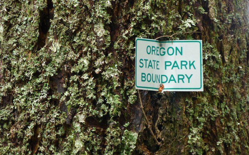
Huh? What State Park?
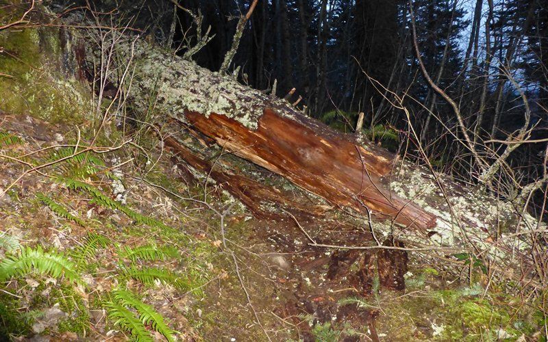
And a destructive act that I couldn't explain either. Why would someone cut down a tree like this, then just leave it lying there? Maybe there's another explanation?
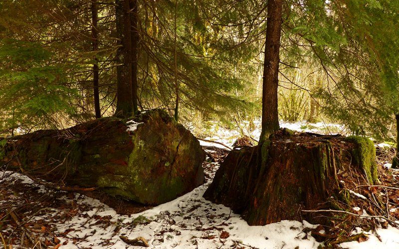
Seems to be two parts of one tree, now both nursing new trees?
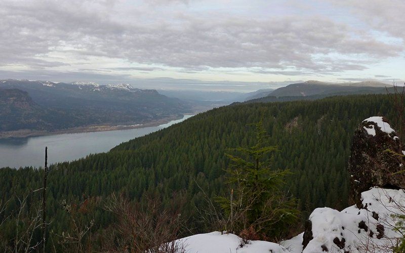
I ended up dining al fresco at Bickle Point, what surely must be one of the finest lunch spots in the gorge!
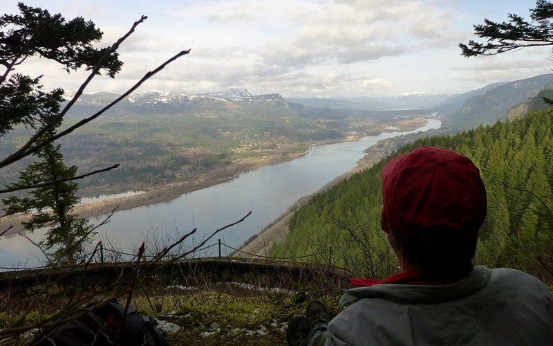
Lunch with a view... Ahhhh...
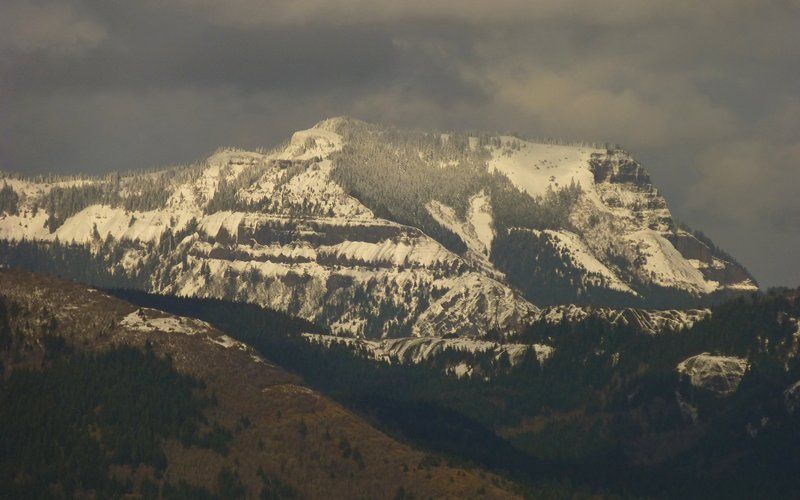
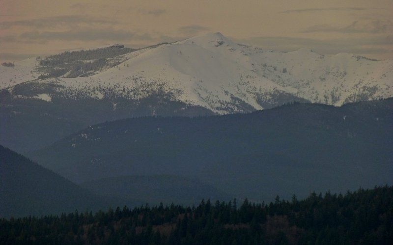
Table Mountain, across the river, with what seems to be a pretty good coating of new snow.
The Columbia is particularly placid today. Easy to see to the bottom of it closer to shore.
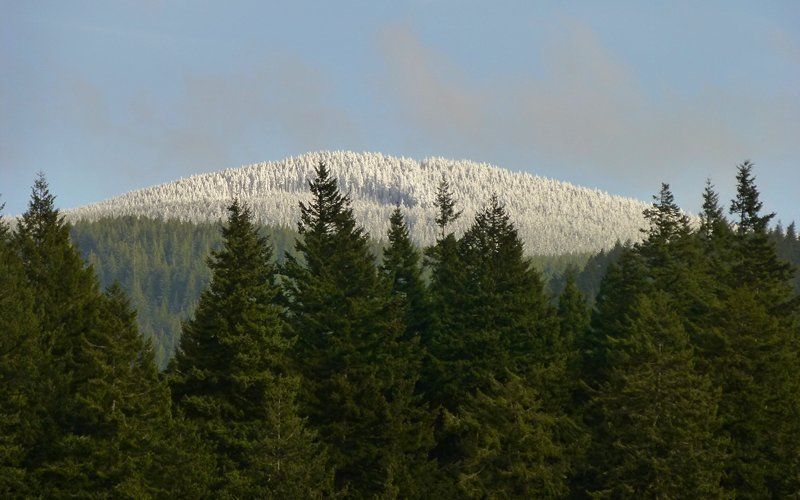
Looking just south of east from Bickle Point, seemingly south of Nesmith... Palmer Mountain?
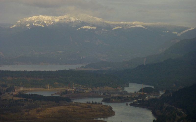
I hate to admit it, but another unidentified peak well beyond Bonneville Dam?
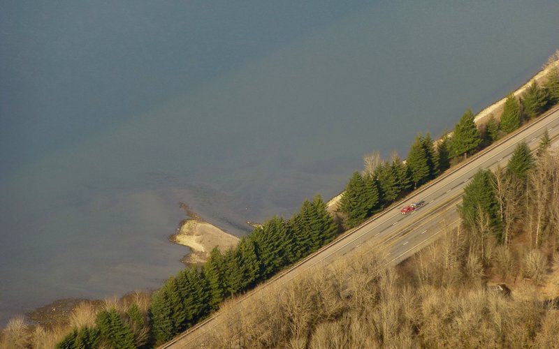
Saw an opportunity to play with the new "superzoom" feature on the camera.
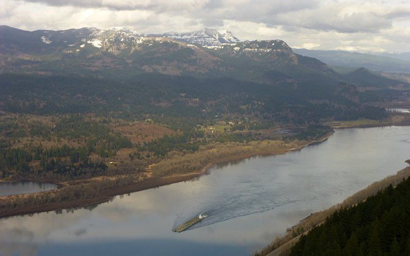
See that barge heading down-river?
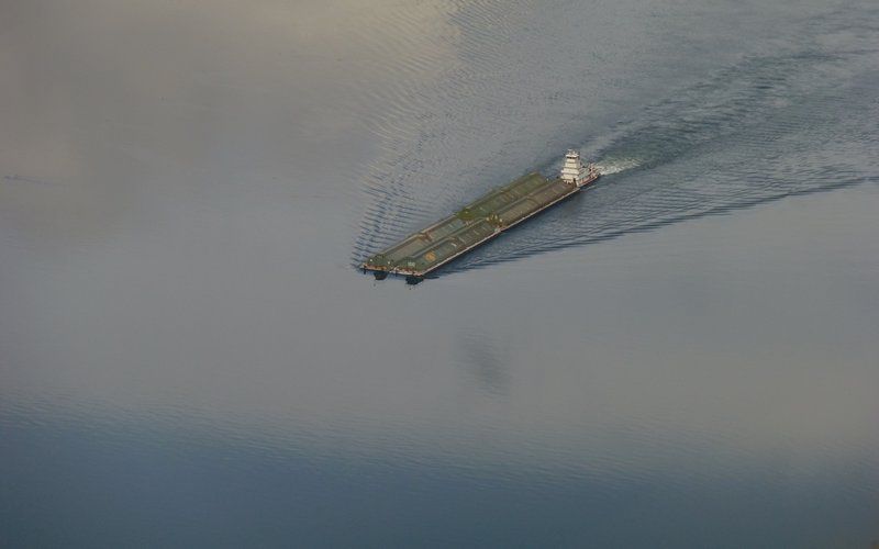
This'll probably help. Easy to see now, right?
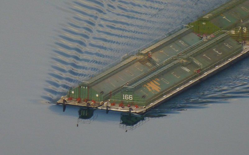
Like! This is actually using the i.Zoom functionality, pushing it out beyond 20x optical.
After lunch, I decided to wander up to Franklin Ridge, as I'd never been on that cut-off either. That was rather uneventful, though the snow was getting a bit deeper as I climbed. I did run into an old wash tub along the way, too. Coming down the Franklin Ridge Trail, back to the Larch Mountain Trail, I encountered a good number of nurse logs. (TJ, are you listening?)
Future site of a bow-legged tree.
It was nearly 4:00 by this time, but I really wasn't very keen on pounding all the way down the Larch Mountain Trail, back to MF Lodge. So I took that jeep trail that crosses it, just below the FR cutoff, as I had often wondered about that route up to Devil's Rest. It was pretty nice, really. Steady gain all the way, snow getting deeper as I went.
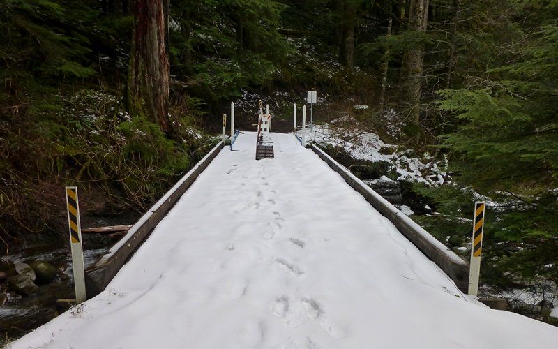
Vehicle bridge across Multnomah Creek.
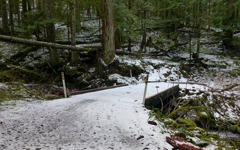
Another across a smaller tributary, the name of which I haven't a clue.
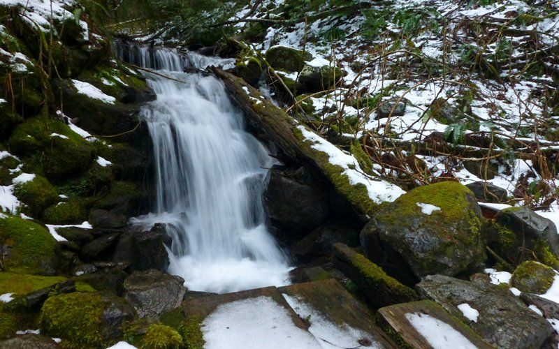
Nice little waterfalls plunging under an improvised bridge-like structure.
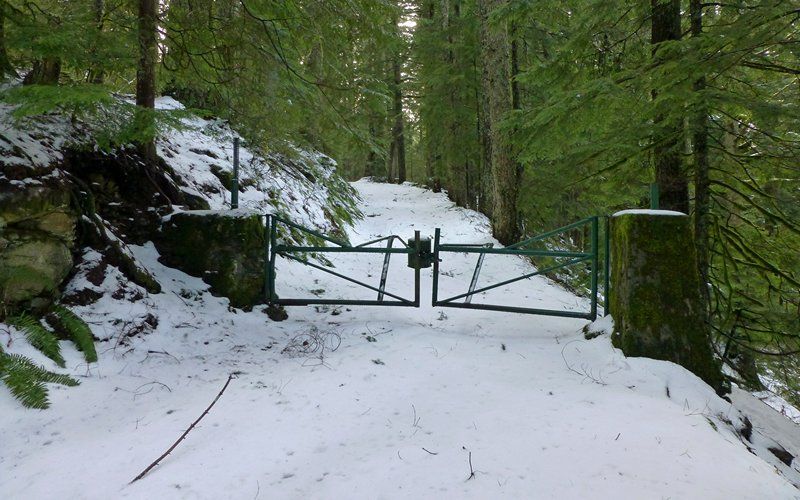
Locked gate across the jeep trail.
The photo I know you've all been waiting for. About 1-foot of snow at 2500' elevation.
Here, I cut over to the Devil's Rest Trail, as I could see the clearing through the woods where it drops off into the gorge. The snow on trail was well beaten, so much so it was rather icy in places. Very muddy in others where the slope was significant.
Devil's Rest Trail, well traveled.
Made it out to the viewpoint. Didn't get any dramatic lightshow for the effort.
Silver Star, across the Columbia. Dang, it's starting to get dark!
Now the calculations got interesting. It's 5:00pm at the Devil's Rest viewpoint. I'm starting to ponder the quickest way down, and recall there's a red line on the Gorge Mapset descending straight north off Devil's Rest. Worth a shot! I was thinking it'd save me maybe an hour of headlamp time.
Tagged Devil's Rest, and plunged over the back edge. No tracks in the snow past where someone had peed.
It was strictly instrument navigation from this point downward. Well, instruments and gravity. The latter provided pretty good clues. I knew Angel's Rest trail was between me and the river. That was pretty much enough to go on. Damn those thick patches of dormant Devil's Club, anyway! Anyway, made it back down to the "real trail" in fairly short order, strapped on the headlamp by Wahkeena Spring, and was enshrouded in complete darkness before hitting Fairy Falls. The last few photos...
Seems I had wandered into an old forest fire along the Primrose Path?
A none-too-insignificant tree across the Angel's Rest Trail. I don't remember this last time through?
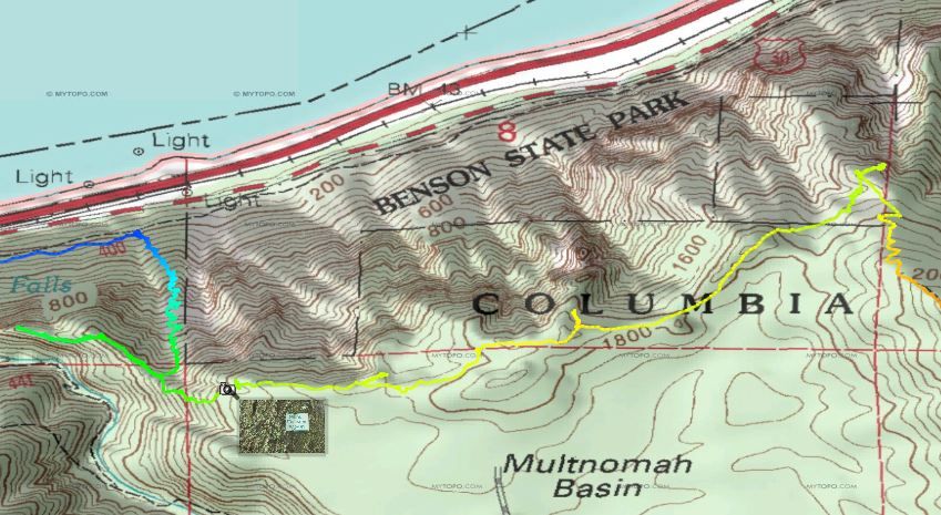
About 12.25 miles and 3800' EG on what turned out to be a very cool little loop!
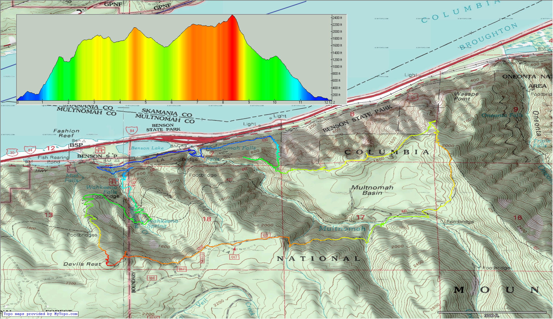
Pretty cool loop, really. Good EG and some great views. Click for enlargement.
http://gpsfly.org/gps_map.php?gps_id=2144&w=645&h=440
I was back to the MF parking lot at 7:00pm.
All in all, another great day in the woods!!!