We hit two short hikes in the Gorge on Sunday, first Elowa and McCord Falls, then my first time to the top of Mitchell Point. As it turned out, there were two "points", and 2/3 way into the hike (now looking on the higher rock) we wondered why it doesn't come any closer . Good thing we saw the lower side trail on the return and hiked to Mitchell Spur as well.
It was pretty windy so I didn't feel like exploring the tip of the ridge (without wind I'd come with some other reason...)
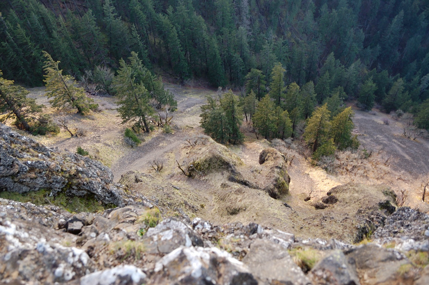
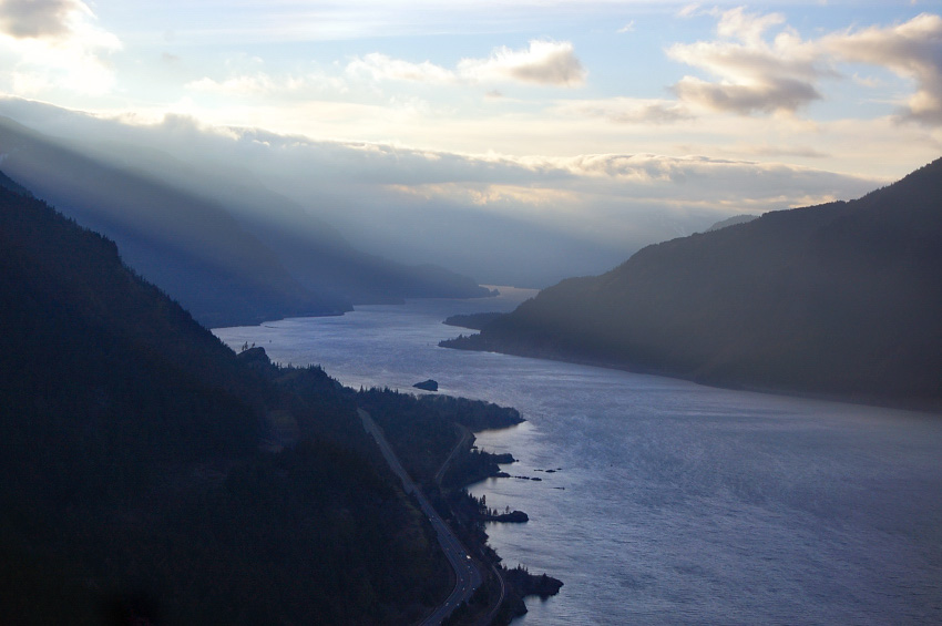
Looking straight down
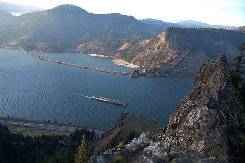
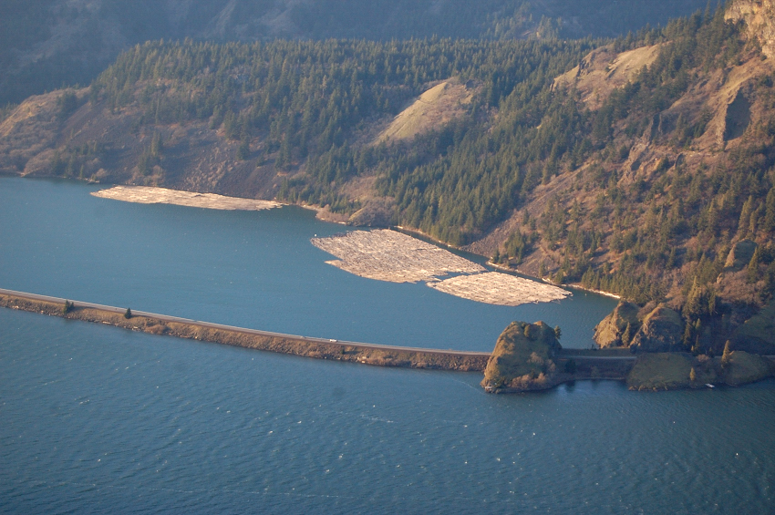
Anybody knows how so many floating logs got there, and why they're arranged in squares like these? (Not that White Salmon River couldn't be used for transporting freshly-cut timber to Columbia, but there's no crane on anything in sight to load them onto the barge)
Could see Hood River bridge from there
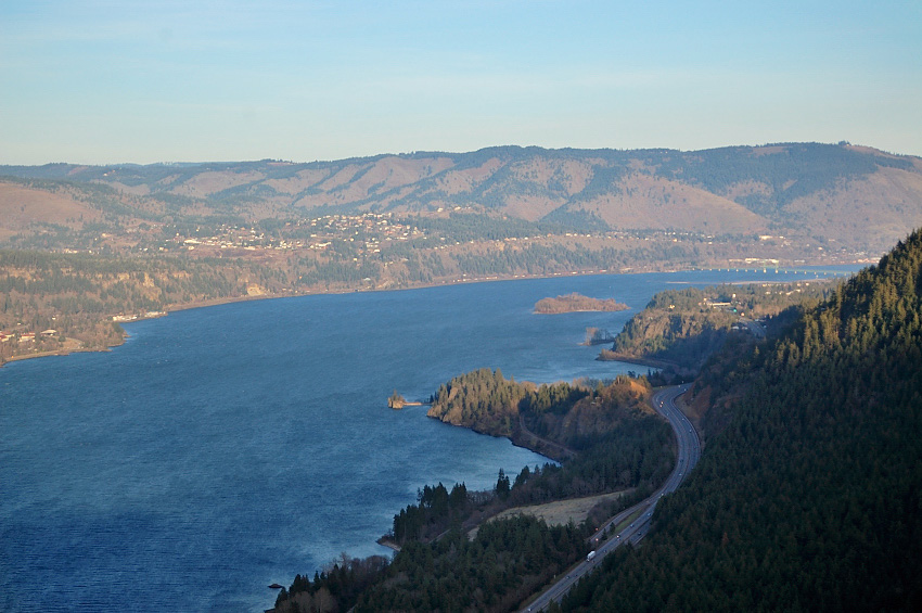
Great views west as well
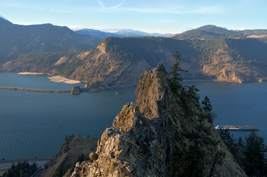
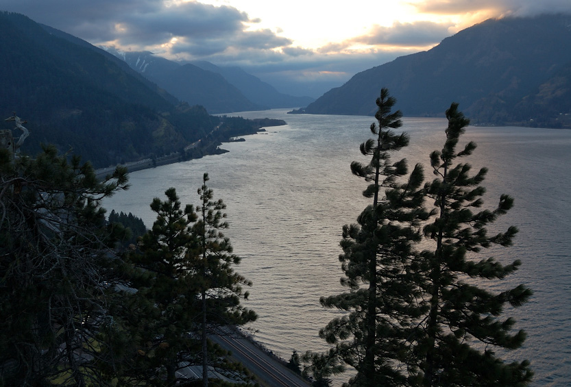
Looking from Mitchell Spur
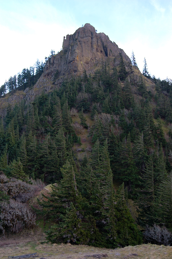
Mitchell Point from the Spur
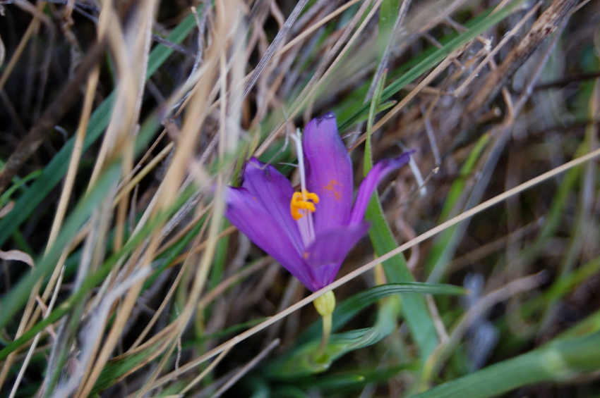
Saw a couple of grass widows, this one was being played by the wind so hard I couldn't focus the camera.
Beautiful trail, cannot believe I didn't make it until now. We saw no ticks while being there.
Mitchell Point 2/10/13
Re: Mitchell Point 2/10/13
Thanks for a great TR. As many times as I've driven past there, I ought to have stopped at least once, but haven't. It'd be cool to see all the blowdown that is stacked up back there. The reports of poison oak infestation have kept me out. I had read somewhere that as a means of clearing out the blowdown, it was being 'sold' to private party. Not sure if it is on state or federal lands. Anyway, the views you snagged look superb!
Re: Mitchell Point 2/10/13
they used to drag floating logs arranged like that down to other mills. Maybe they still do.
Re: Mitchell Point 2/10/13
Gorgeous photos!! I don't blame you for not exploring out further.
Hannah
Only those who will risk going too far can possibly find out how far they can go.
-- T.S. Eliot
Re: Mitchell Point 2/10/13
Thanks! I think it's State Park, at least up to powerline. The trail to Mitchell Point is clear of poison oak; I don't remember brushing against it at any point, though there was some near the trail. There were two logs ~12-15 inches wide, but above that (Chetwood trail?) someone said the trail has very heavy blowdown.mcds wrote:I ought to have stopped at least once, but haven't. It'd be cool to see all the blowdown that is stacked up back there. The reports of poison oak infestation have kept me out. I had read somewhere that as a means of clearing out the blowdown, it was being 'sold' to private party. Not sure if it is on state or federal lands. Anyway, the views you snagged look superb!
Chase - now it makes sense, didn't know they can drag the logs without loading them.Chase wrote:they used to drag floating logs arranged like that down to other mills. Maybe they still do.
Thanks - that's all gorgeous place, reminded me of Angels Rest but shorter and steeper trail, and (imho) even nicer views.hlee wrote:Gorgeous photos!!
-
- Posts: 413
- Joined: May 6th, 2011, 2:23 pm
Re: Mitchell Point 2/10/13
great photos.....that trail has been repair and rerouted in years since I found out about it....until William Sullivan wrote about it ...... was ignored and left off maps.....what a blest place Columbia Gorge...thanks to all who keep trails open....remember Howard Ronthaller with USFC man who got trails ready when 1970s came looking for such
- Splintercat
- Posts: 8333
- Joined: May 28th, 2008, 10:03 pm
- Location: Portland
- Contact:
Re: Mitchell Point 2/10/13
Not too much, but there are several patches along the trail. Not remotely as "lush" with the itchy stuff as the WyGant Trail, however (which begins at the same trailhead).The reports of poison oak infestation have kept me out.
Great photos, Roman! One of my favorite hikes, as well. Did a blog article on it last year, and promptly learned that the State Parks folks had closed the parking area for renovations... apparently done by now, right?
Tom
Re: Mitchell Point 2/10/13
Yep, they've done with repair & looks nice, though the lot capacity became quite smaller (I went there last year pre-repair, but decided not to hike without a pass - later learned I didn't need any). Don't think we saw more than 3 groups there anyway, but once "hiking season" starts this hike can't get too crowded, which is not a bad thing .Splintercat wrote:learned that the State Parks folks had closed the parking area for renovations... apparently done by now, right?
Tom
Re: Mitchell Point 2/10/13
The logs are actually in bundles strapped together with cables. A bunch of bundles make up a raft, which is the "square" seen in your pics. They are towed into a mill that way. I worked in a mill in a former life.
Good people drink good beer. Hunter S Thompson
- Splintercat
- Posts: 8333
- Joined: May 28th, 2008, 10:03 pm
- Location: Portland
- Contact:
Re: Mitchell Point 2/10/13
Welcome, John!
Thanks for the update on the TH, Roman. Big changes ahead for this area, so that's why I was curious about the State Parks project over the summer -- ODOT will soon (?) be cutting a new tunnel through Mitchell Point for one of the final phases of the Historic Columbia River Highway State Trail, along with restoring the sections of old highway west of Mitchell Point.
Tom