Point is, if you have a spare morning or afternoon during this fabulous streak of fine weather, this great option is only there for the next week and a half!
Near the railroad overlook on loop segment to be closed February 1.
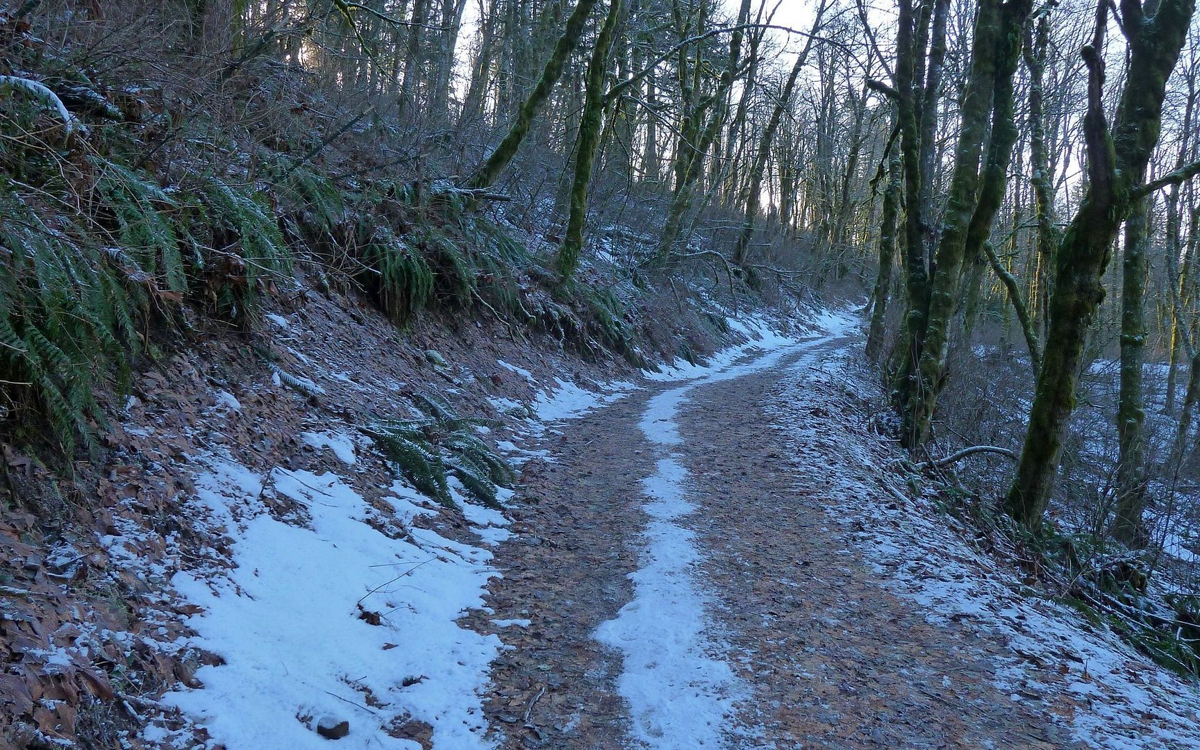
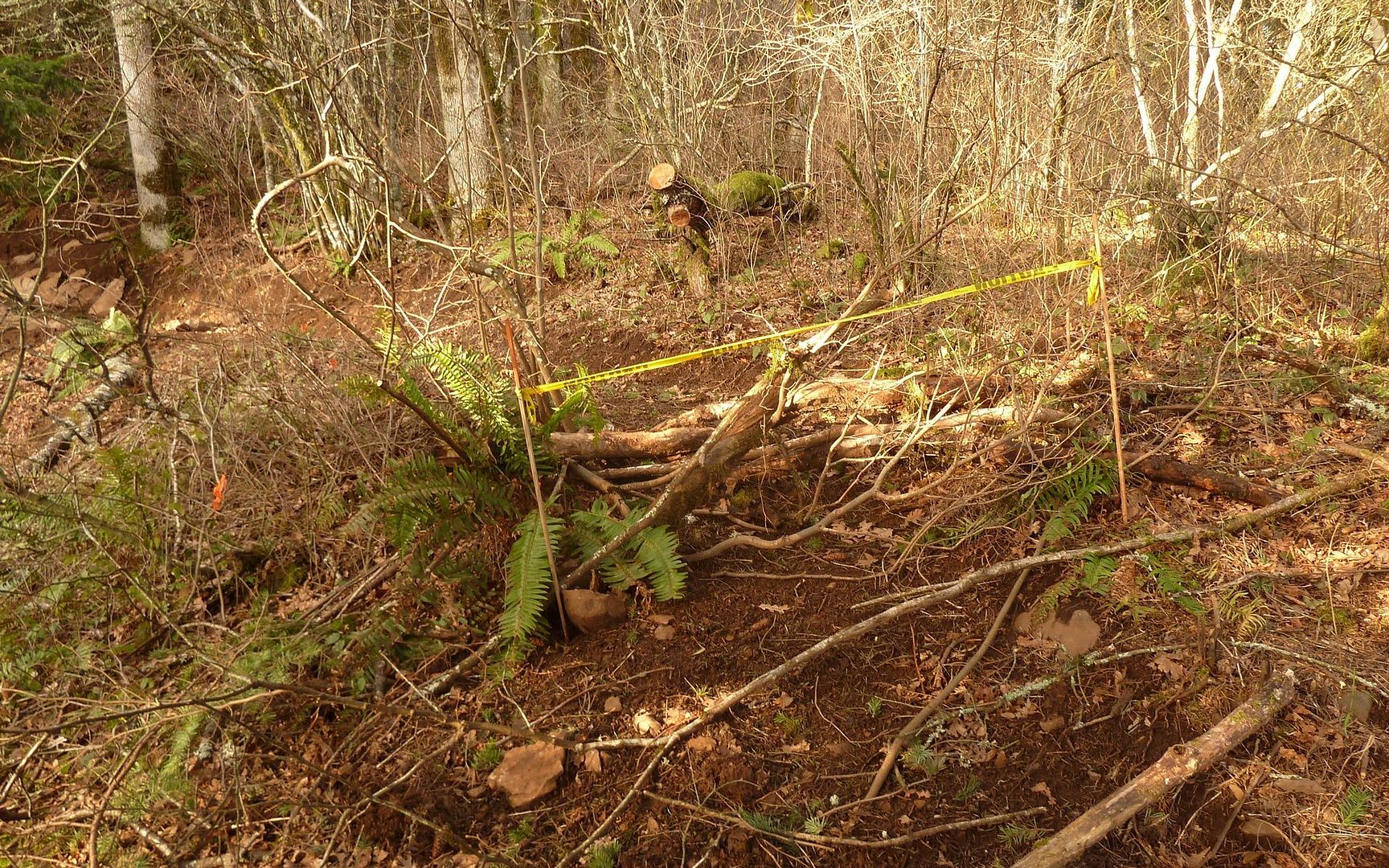
The trail was almost totally clear of snow and ice, with a few semi-frozen sections in the permanently shaded areas, but nothing that required added traction of any sort. Near the trailhead, the great work of Ryan and his crews is very obvious! But winter did bring down another easily-traversed obstacle.
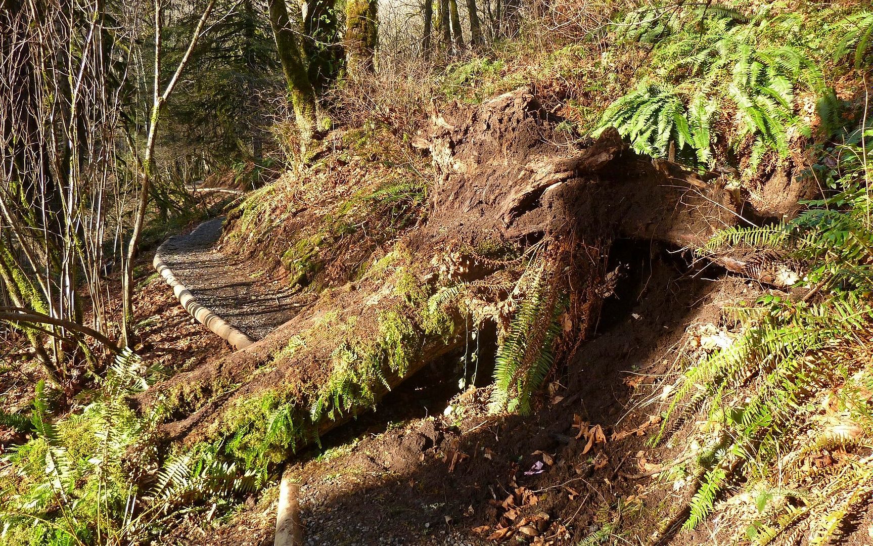
Casualty of winter, near the trailhead.
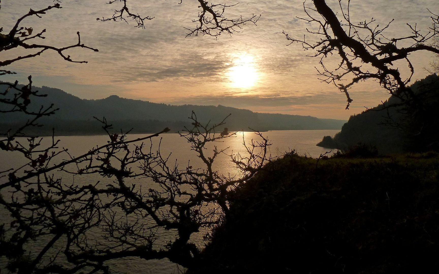
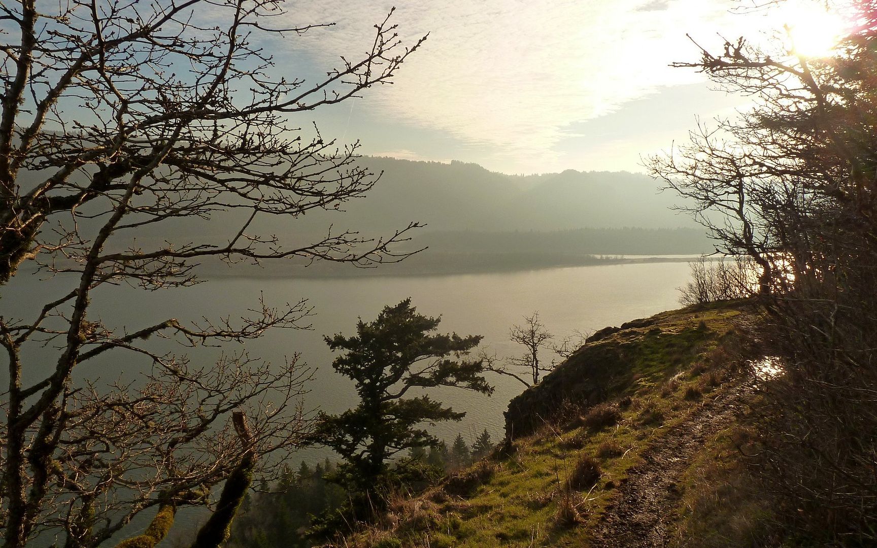
A little over a mile in, you'll have the option of traversing along the cliffs on top of Cape Horn for some spectacular views into the gorge.
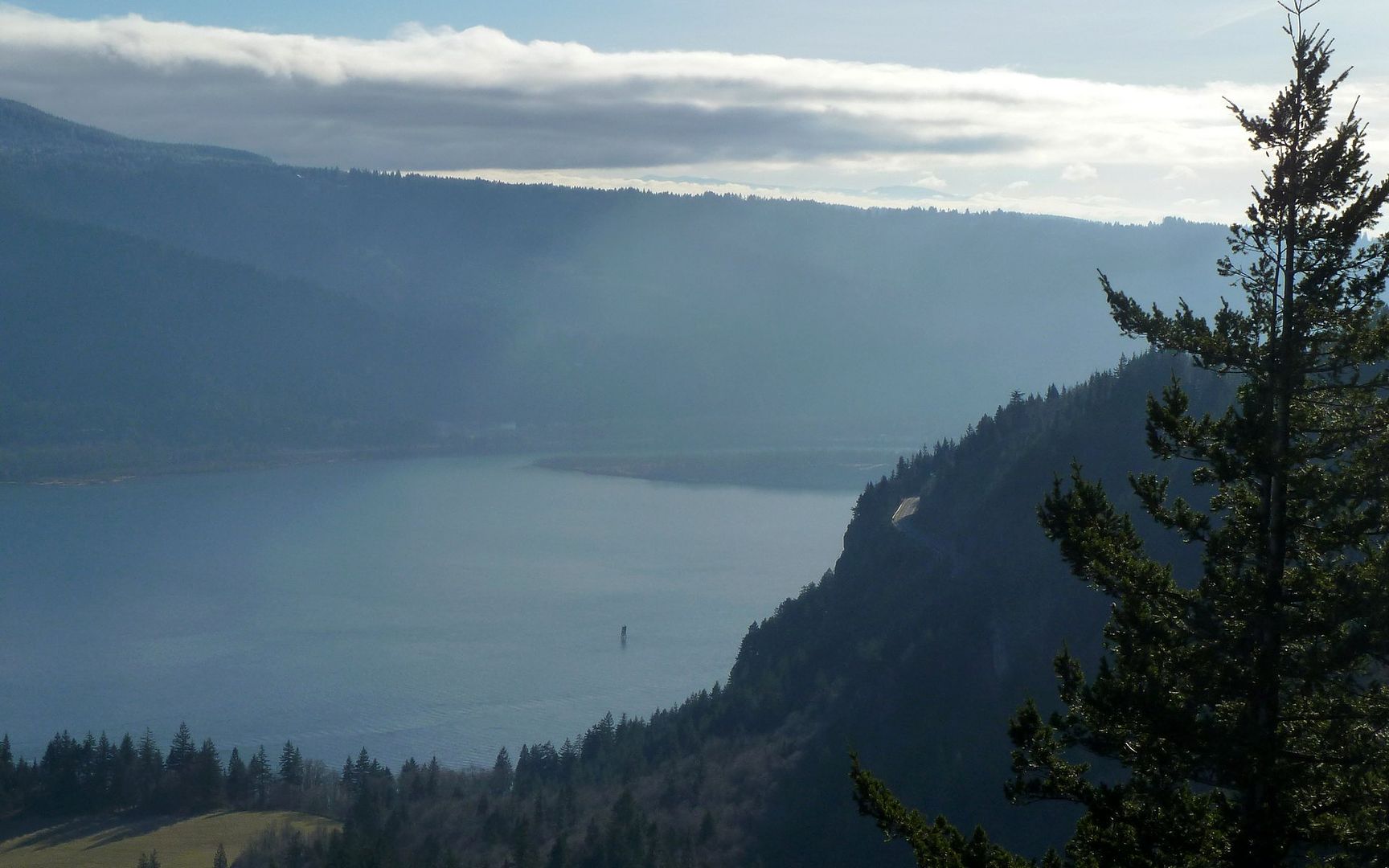
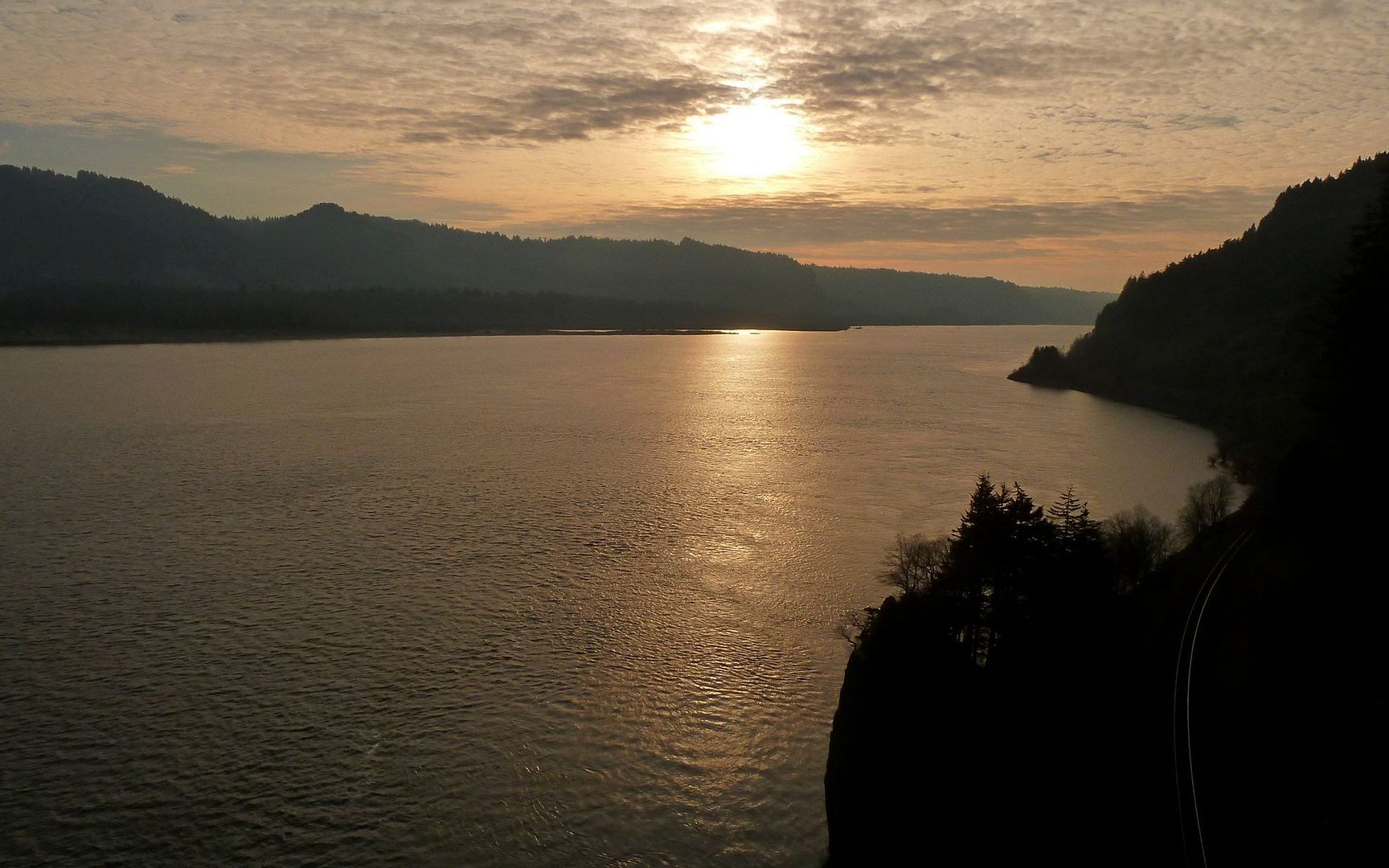
SR-14 winding around Cape Horn.
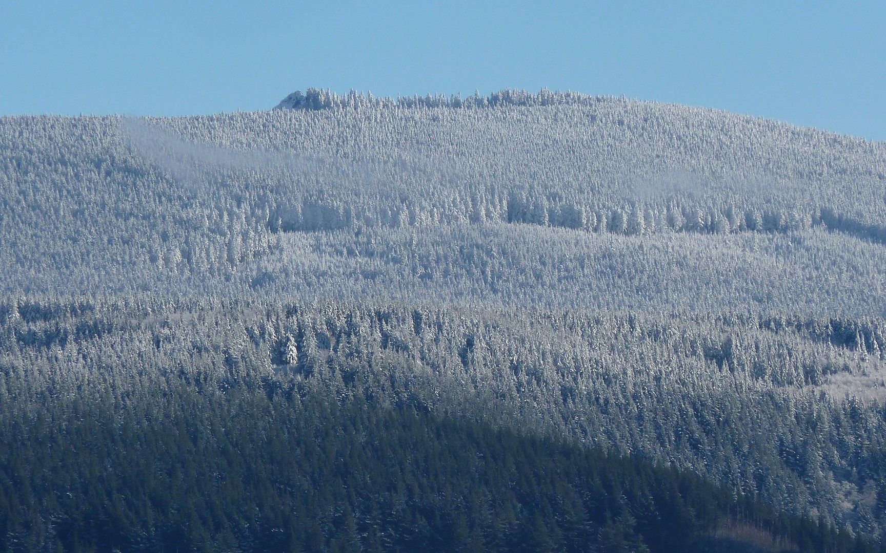
Larch Mountain and Sherrard Point.
The real point of this report, though, is to bring attention to all the "stuff" that's going on out there on this trail. Just before the Nancy Russell Overlook, there's an old hay field being transformed into an Oregon White Oak habitat, as mitigation for some work being done on SR-14.
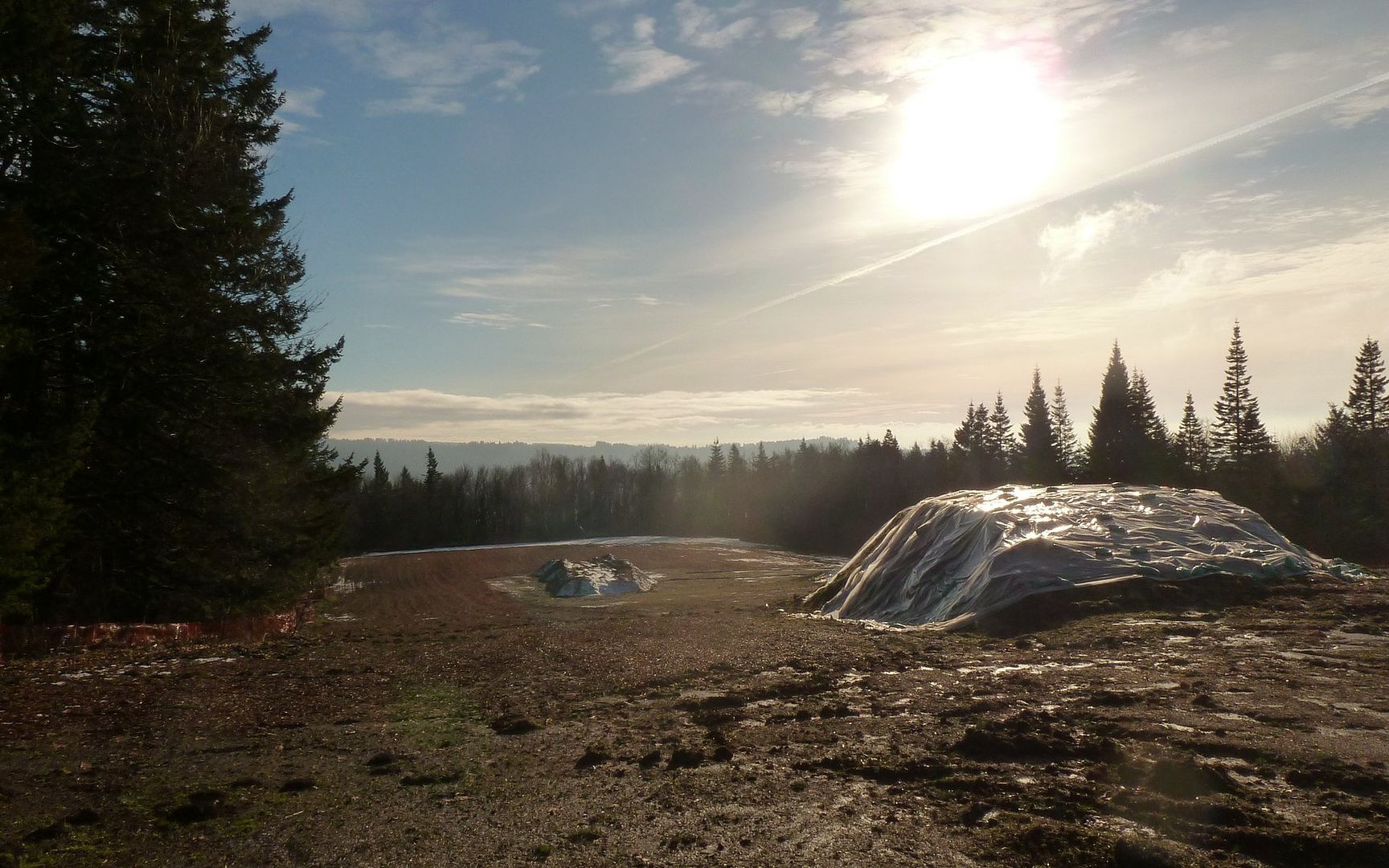
Mitigation site.
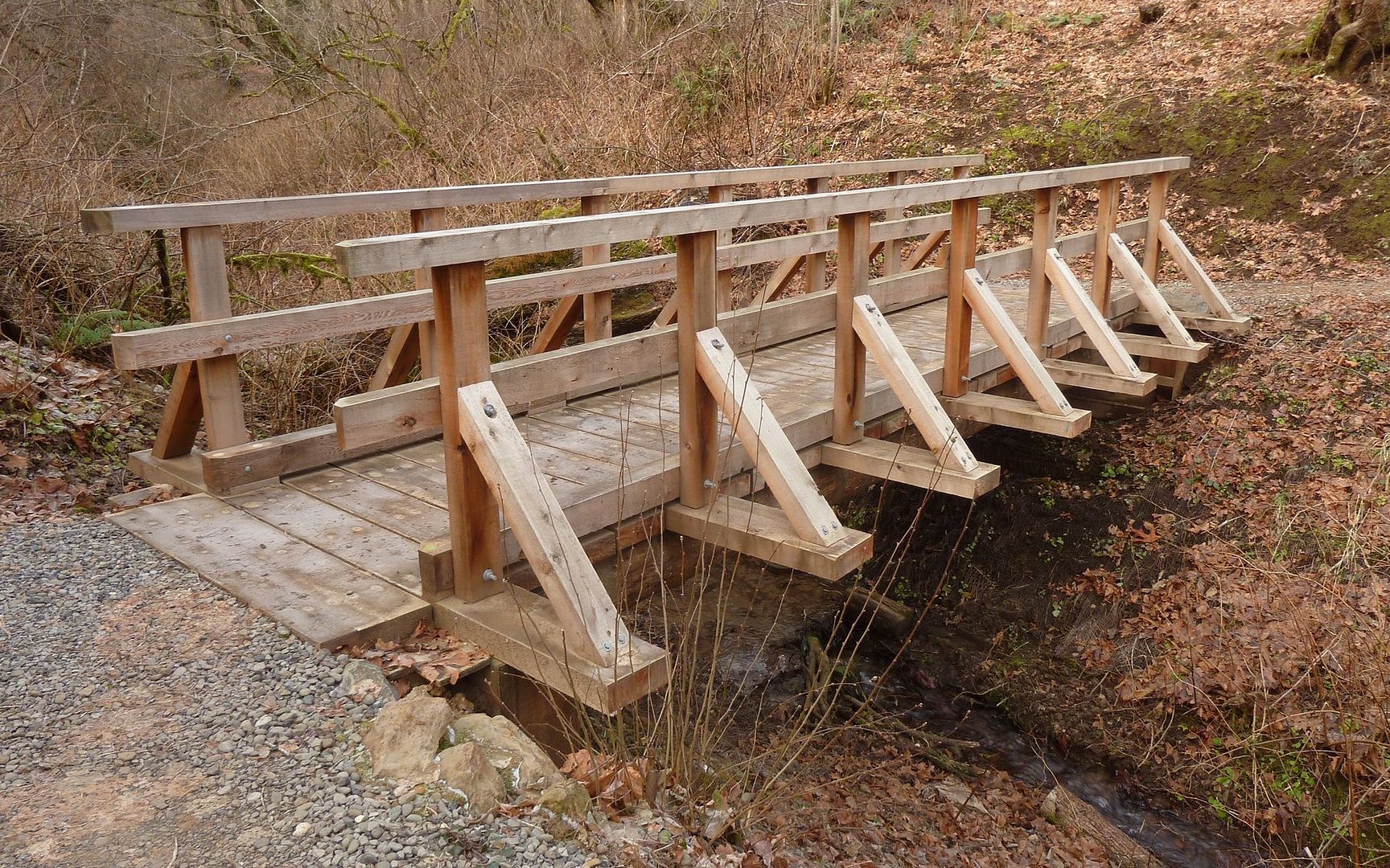
Below SR-14, one of the sturdiest bridges I've ever seen over a little creek!
The part that could cause some alarm, though, is where there's an apparent re-route underway. The new trail has been constructed, but has tape across it to indicate it's still not supposed to be used. I've added pins to the gpsfly track for this hike, showing where the next two photos were taken.
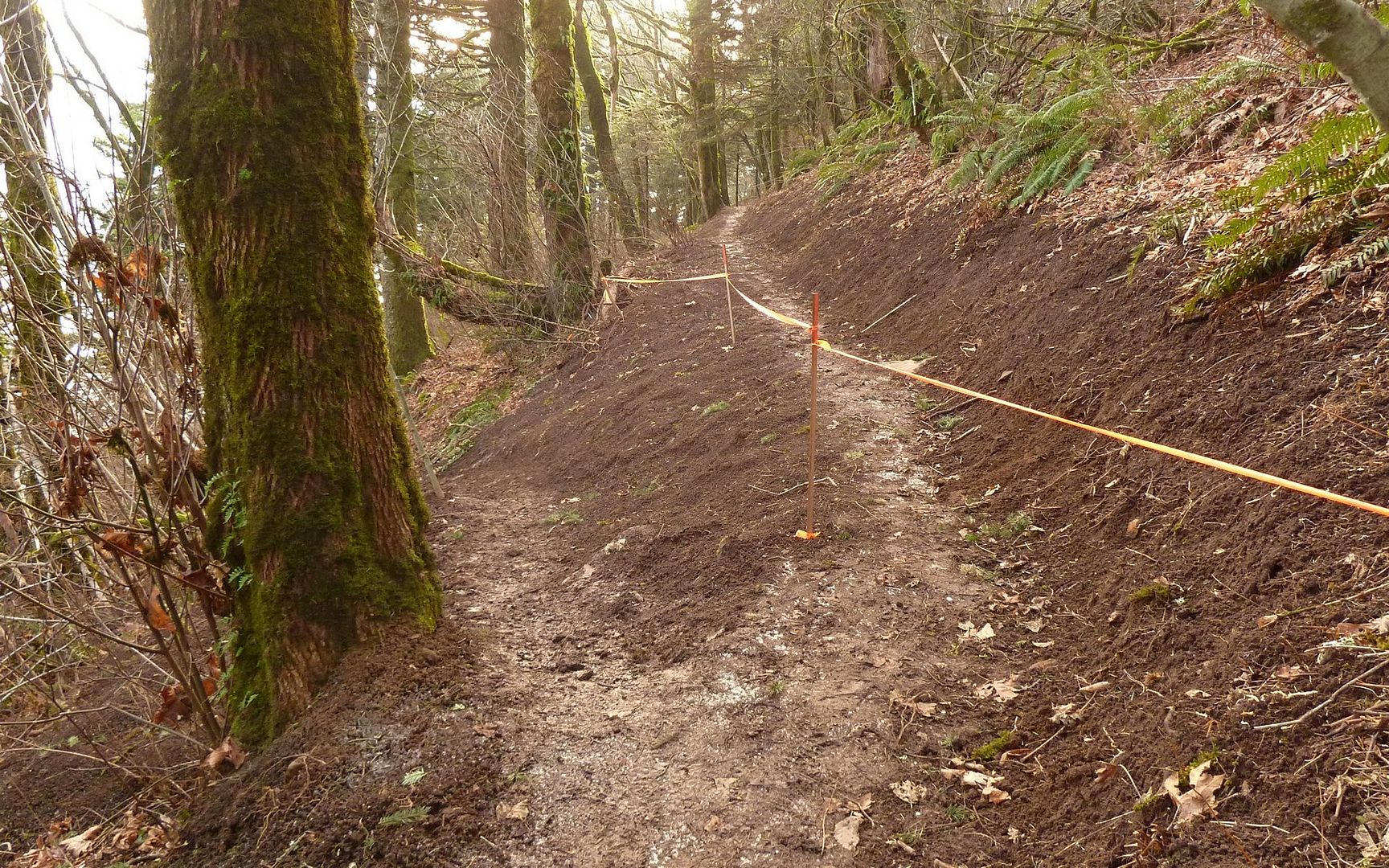
Eastern end of new trail.
Western end of new trail.
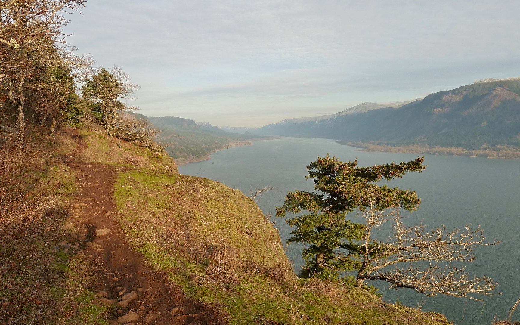
Some of the viewpoints this new route will avoid...
Admittedly, the current trail is rather exposed. Especially for kids or dogs!
Looking east into the gorge.
More of the views that will be inaccessible while the falcons are roosting...
Railroad tracks just before they enter the tunnel through Cape Horn.
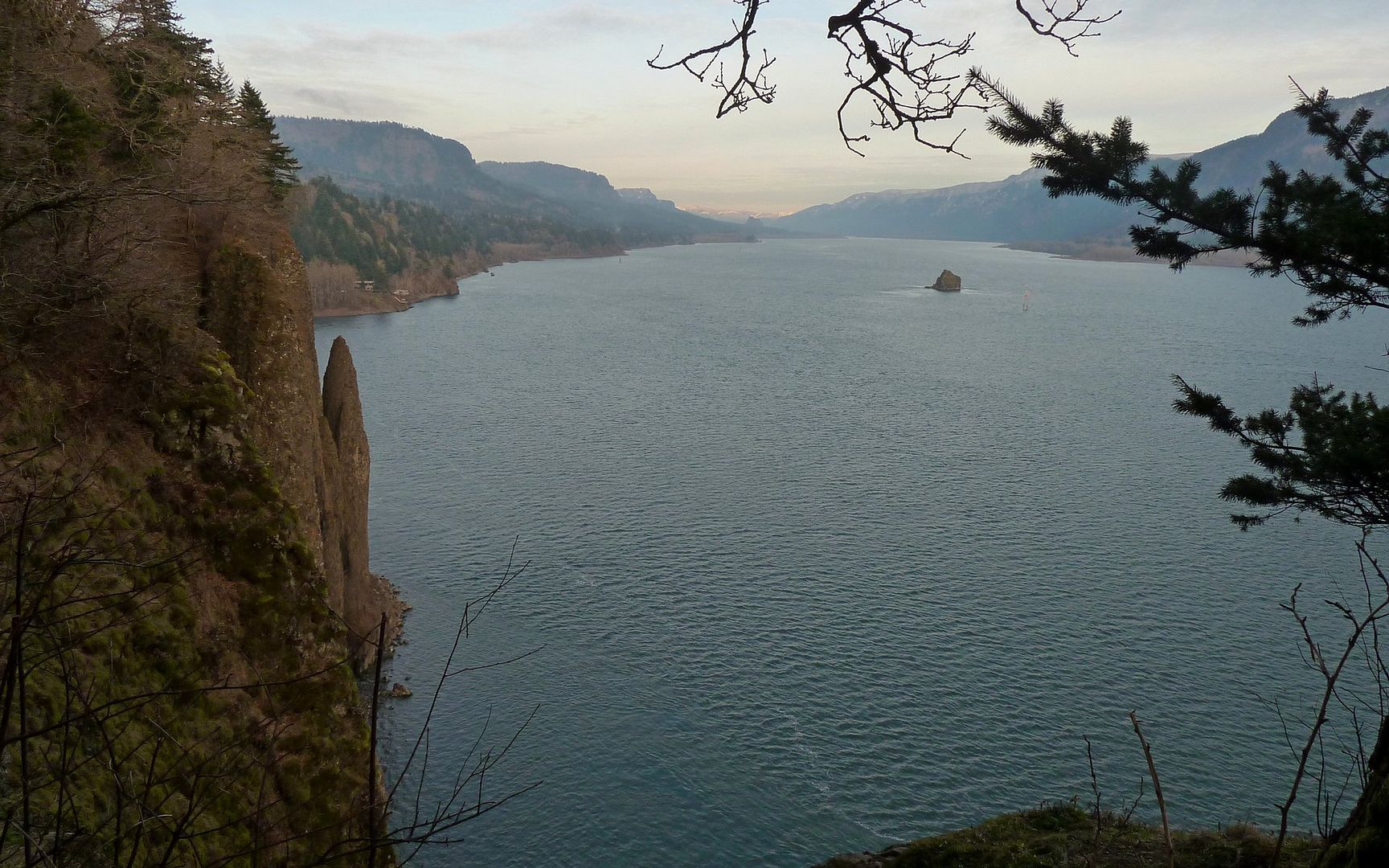
Cigar Rock
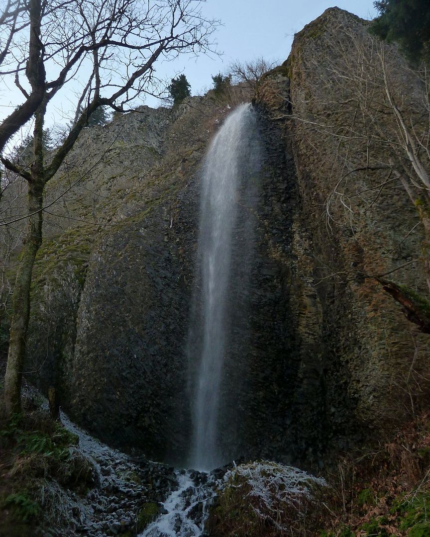
Lower Cape Horn Falls
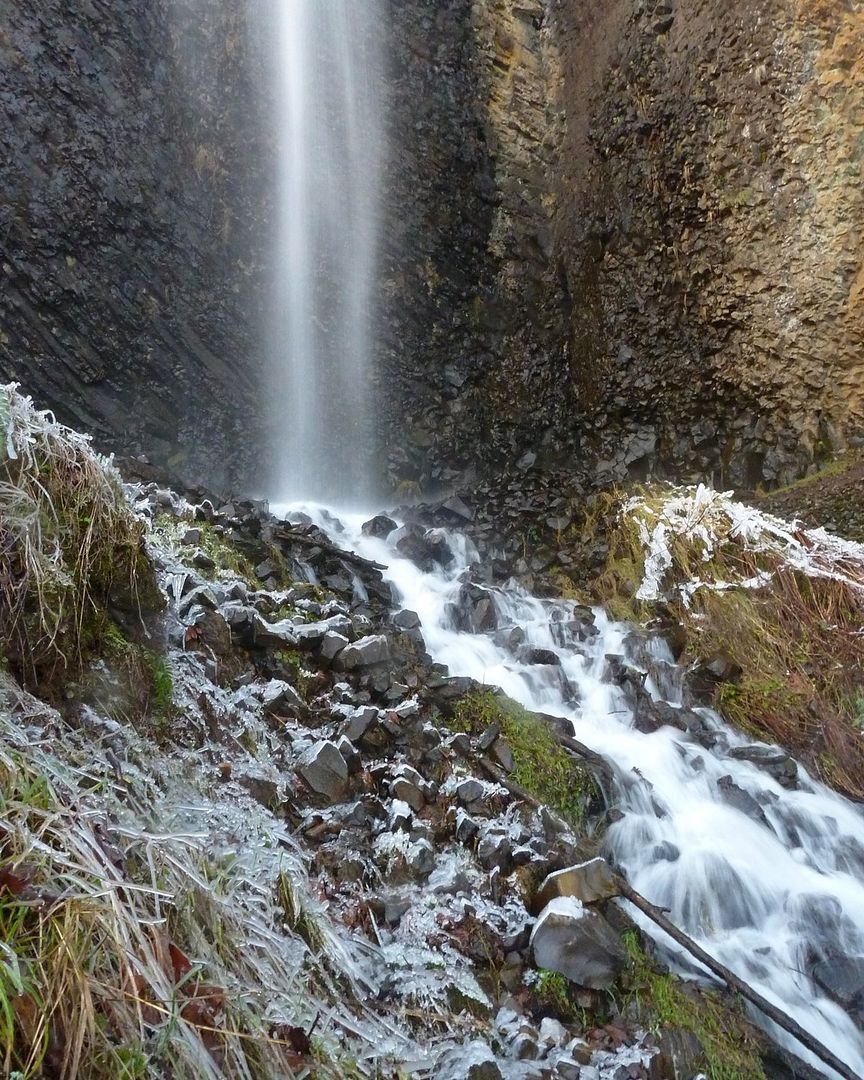
Lower Cape Horn Falls
The new bridge crossing below the waterfalls has removed the option of crossing under the falls itself...
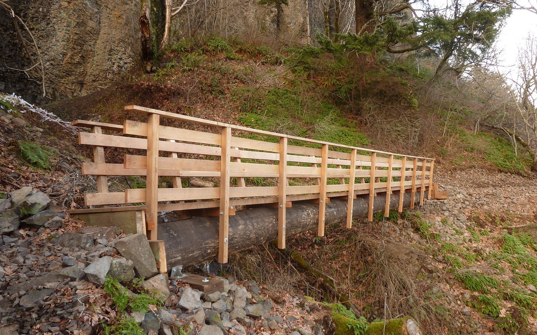
New bridge that takes away under-falls option.
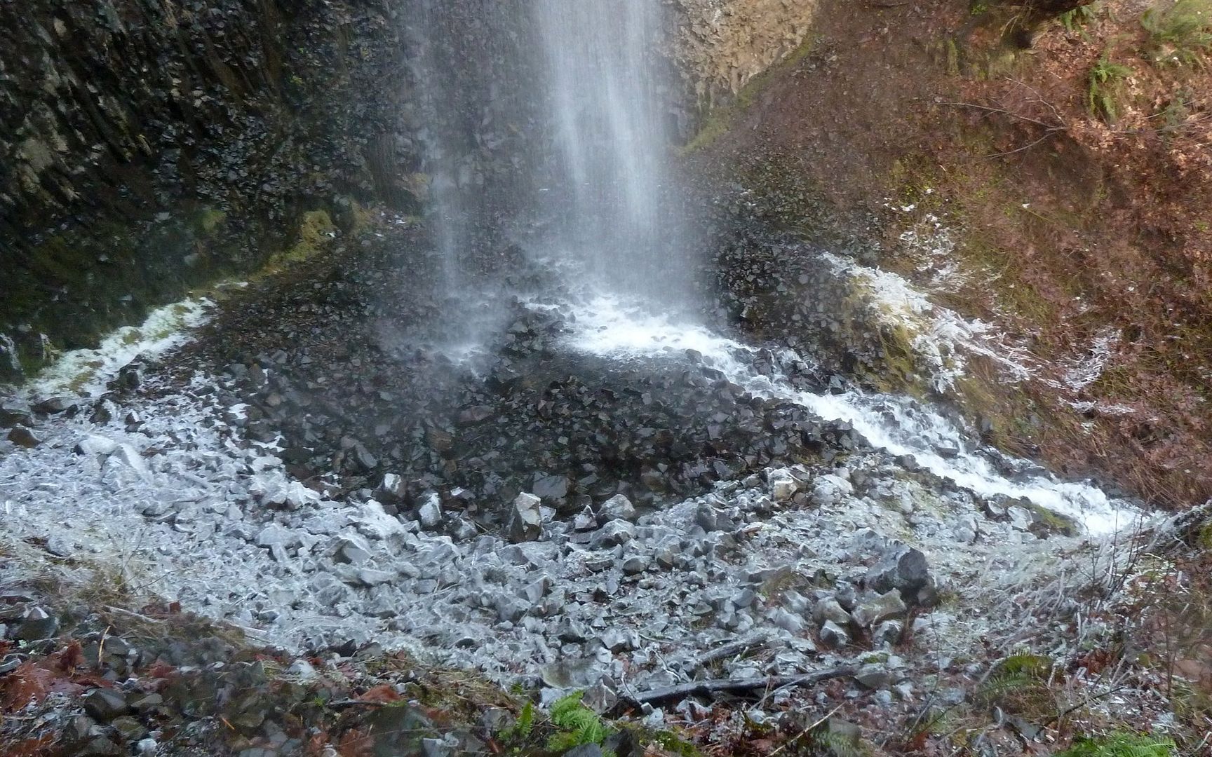
Old trail was pretty icy, as it crossed behind the falls!
The last mile-plus follows a little road back up to the park-and-ride. For a road walk, it's pleasant enough, but it's not a trail.
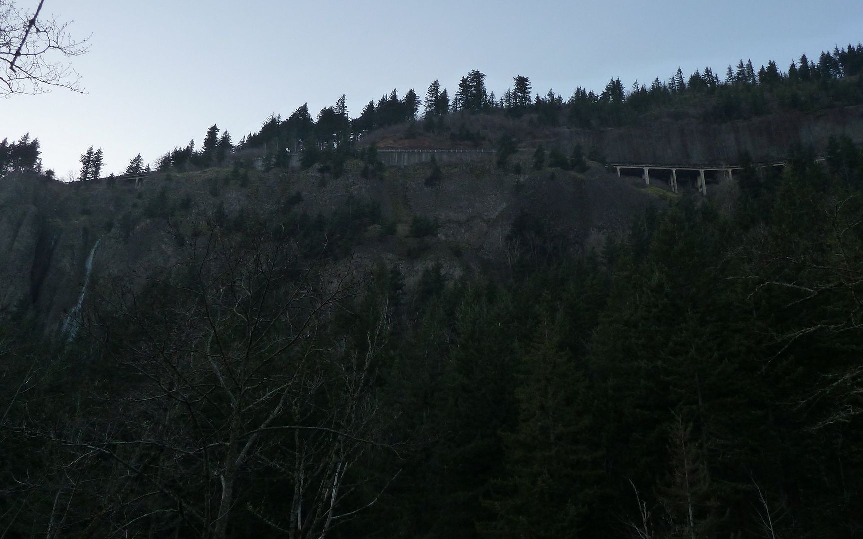
View of Cape Horn, and SR-14, from below.
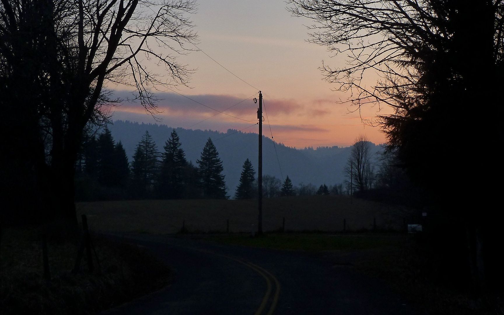
Sunset along last (road) stretch of loop.
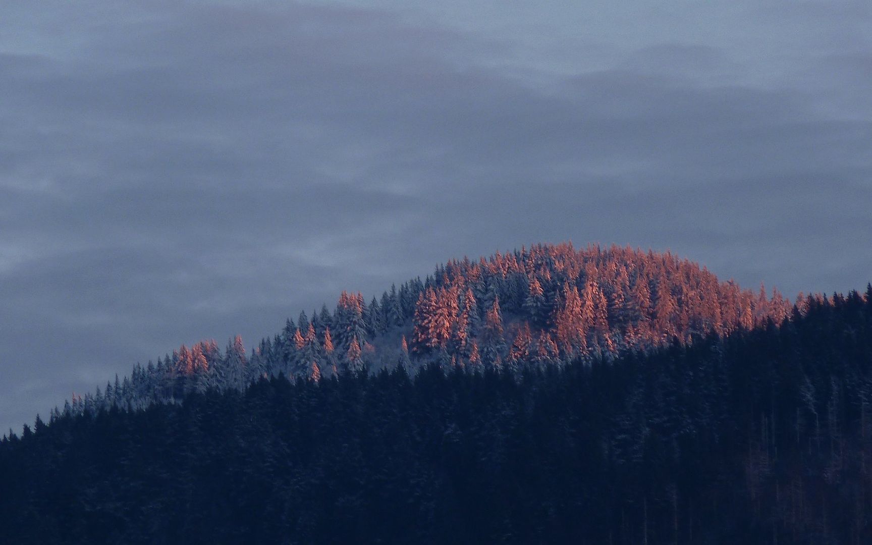
One last view of a very fiery Larch Mountain.
http://gpsfly.org/gps_map.php?gps_id=2041&w=645&h=440
Great hike! Recommended when you have an afternoon to kill!