Eagle Cap- Ice Lake and Matterhorn

This forum is used to share your experiences out on the trails.
AndyPandy
Posts: 13
Joined: March 18th, 2012, 9:52 am

Eagle Cap- Ice Lake and Matterhorn

Post by AndyPandy » July 8th, 2012, 4:37 pm

My first TR here is more of an update on conditions as of July 5th, 2012.

My brother in-law and I started out at around 5:30 from the trail head and started up the Wallowa River for 2.6 miles.

Image

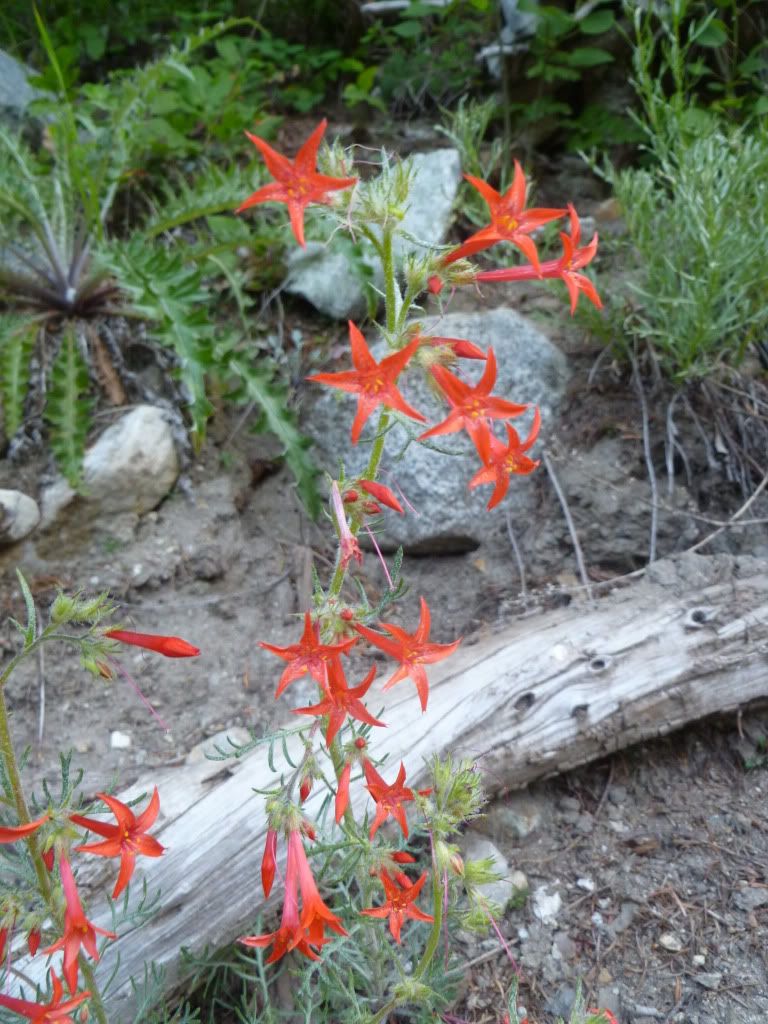
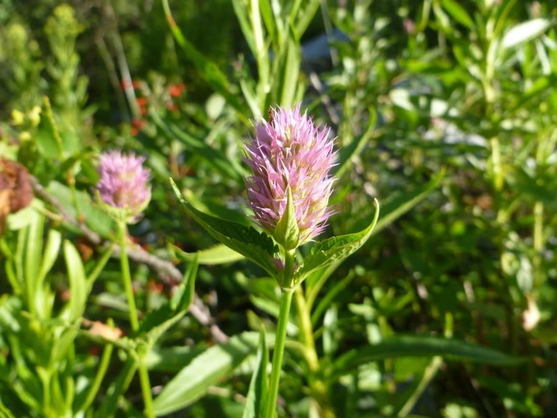
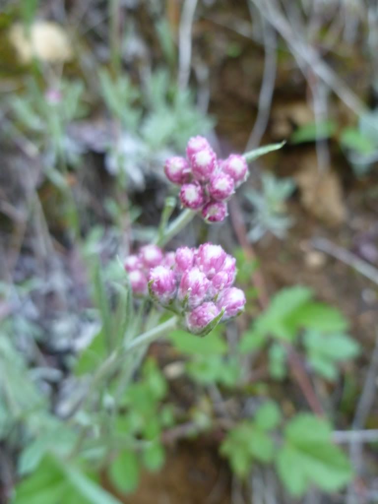
The bridge over the river towards Ice Lake is out but there is a large log across the river making it easy for people to cross and keeps the horse poop from following you uphill. Lots of Indian Paintbrush out and some other good wildflowers as the hike progressed up to and beside Adam Creek.

Image

Image

Image

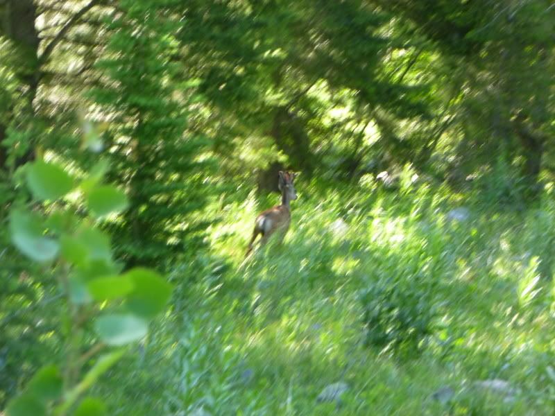
Some wildlife that isn't as tame as those found down by Wallowa Lake

Image

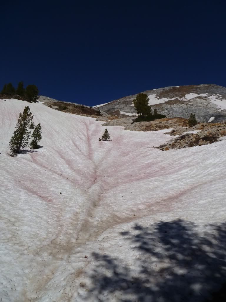
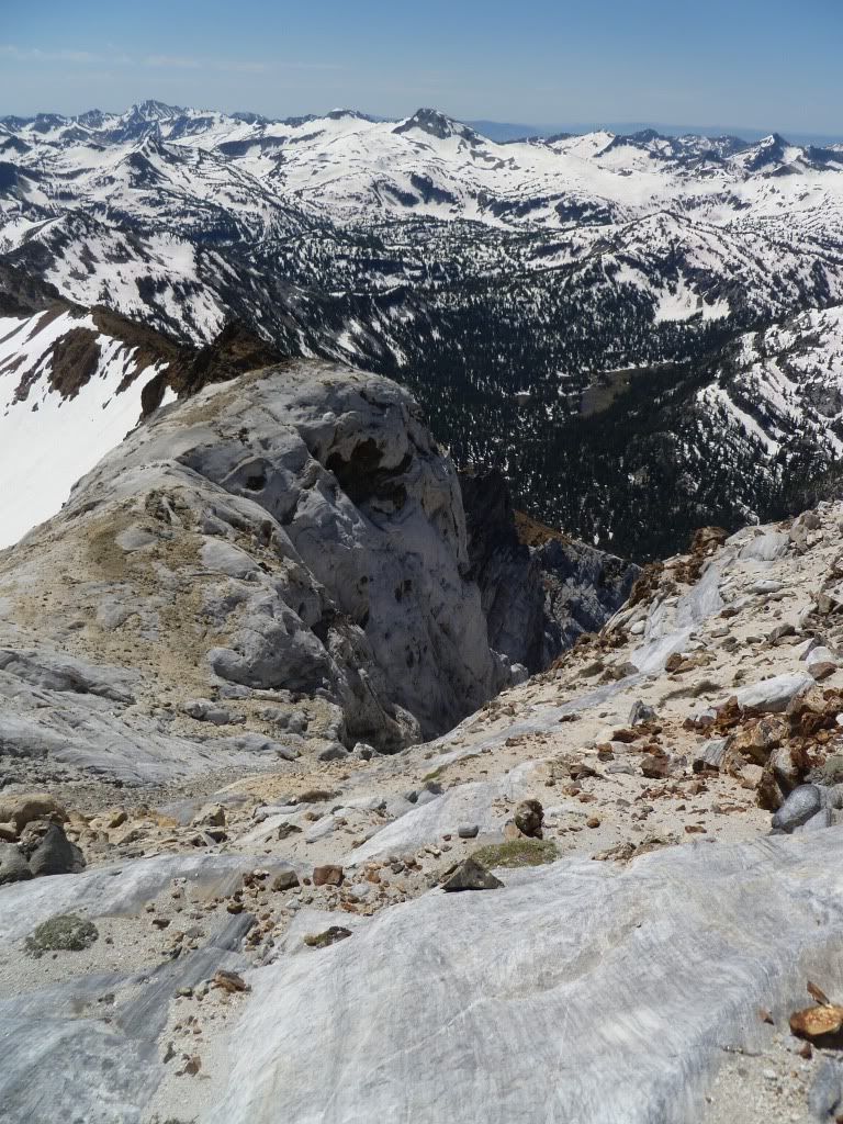
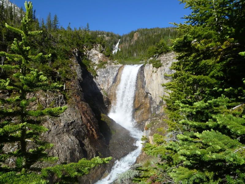
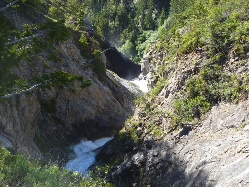
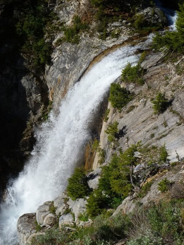
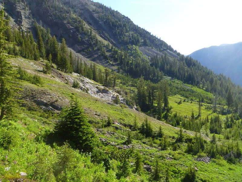
We skirted the right edge of these and then eventually looked down on them.

Image

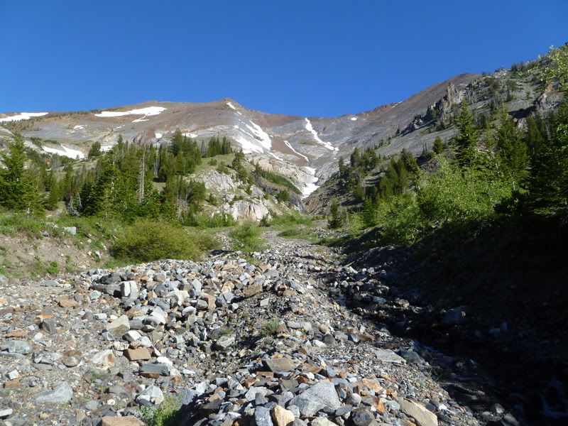
Adam Creek was raging.

Image

Image

Image

Image

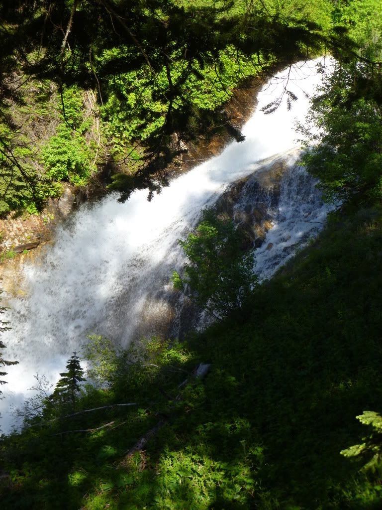
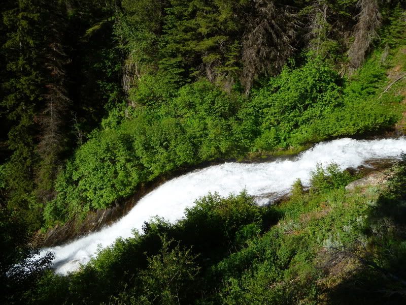
I can't get this one to flip- errrrg!

Image

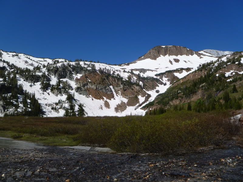
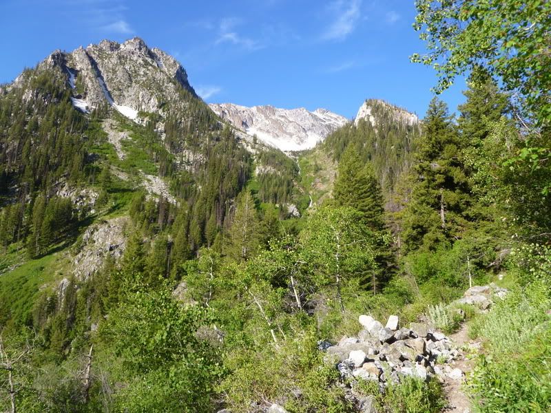
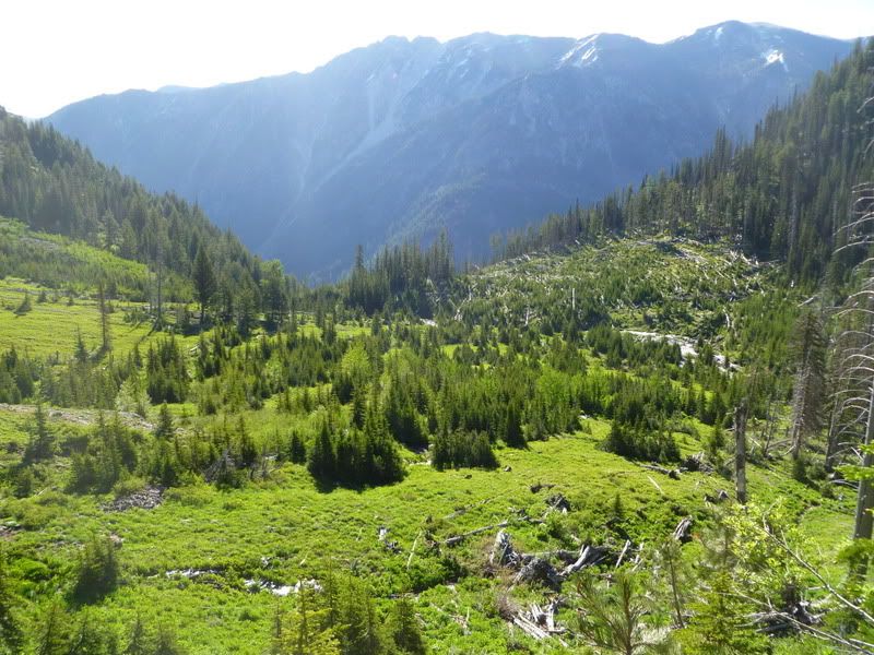
Up to a nice meadow to break up the climb.

Image

Image

Image

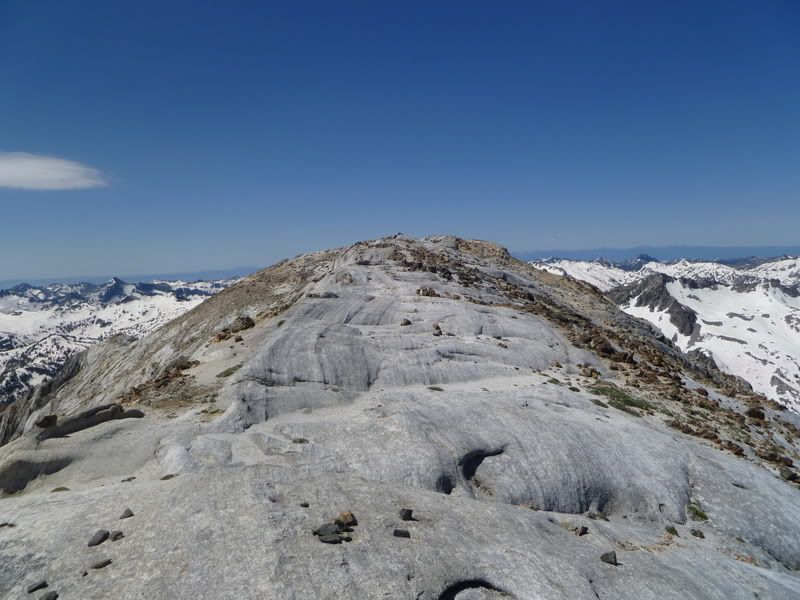
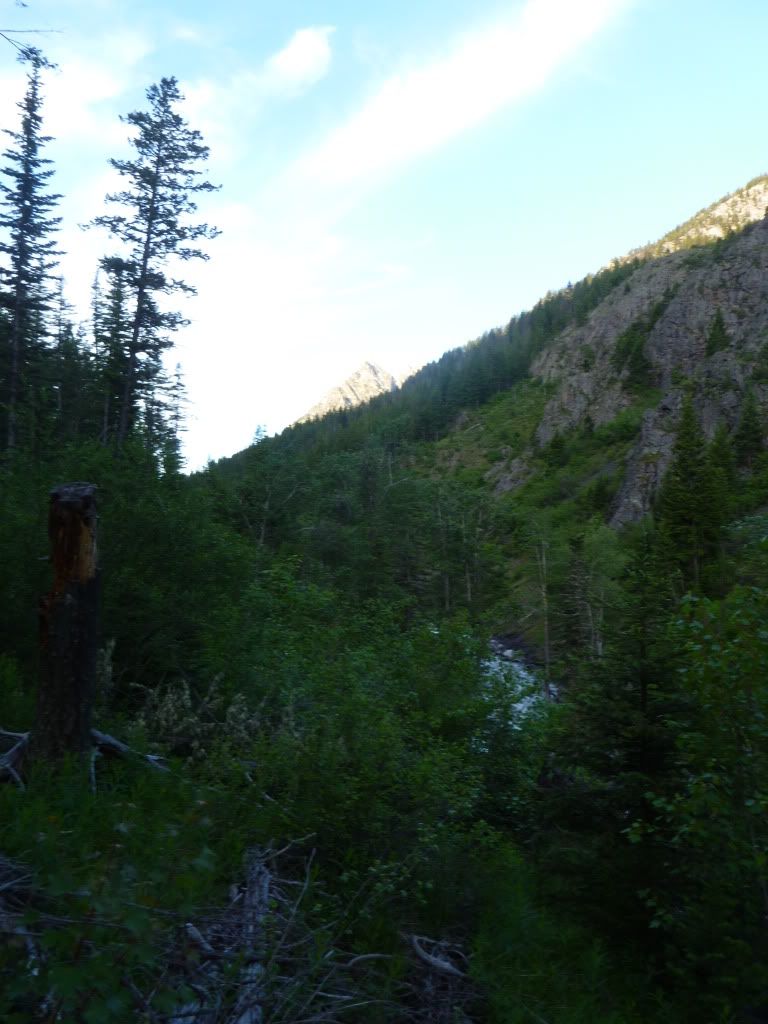
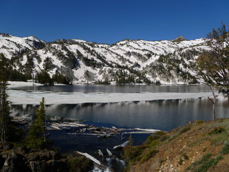
Right after a sign saying no more fires the trail flattens until yo reach Ice Lake. We also got our first glimpse of the Matterhorn.

Image

In this shot I got a fly to position itself right over the summit that we were heading for.

Image

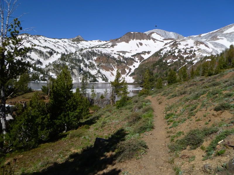
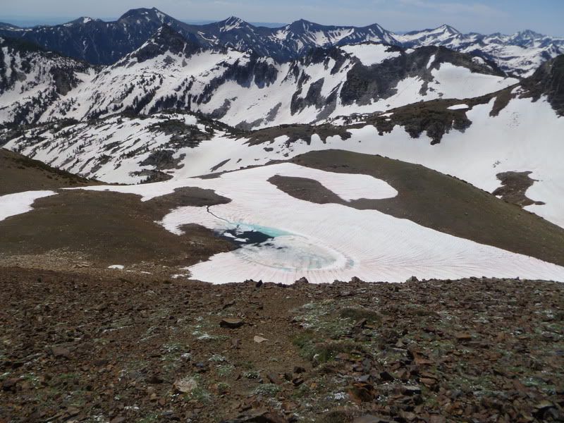
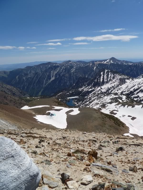
Yup, that's ice floating in Ice Lake. Weird.

Image

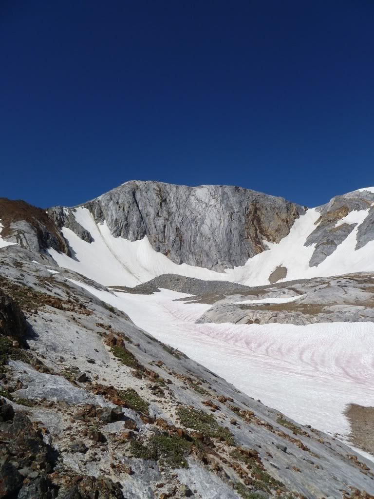
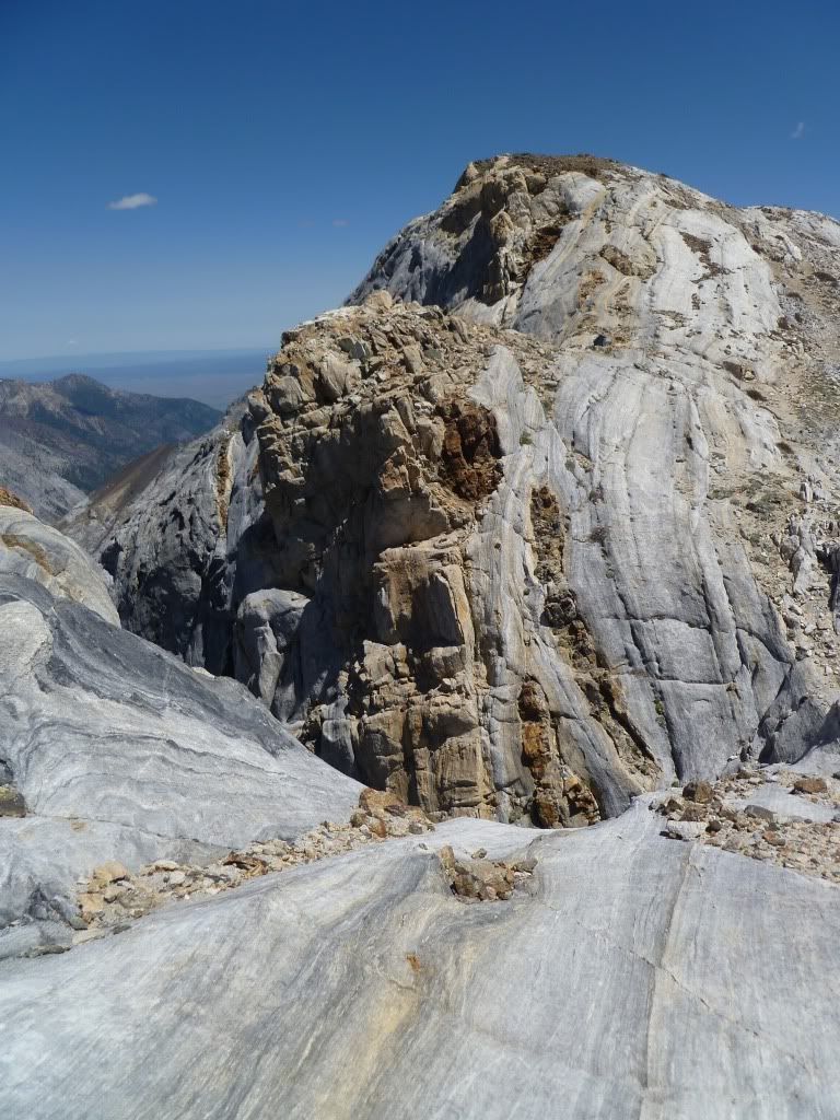
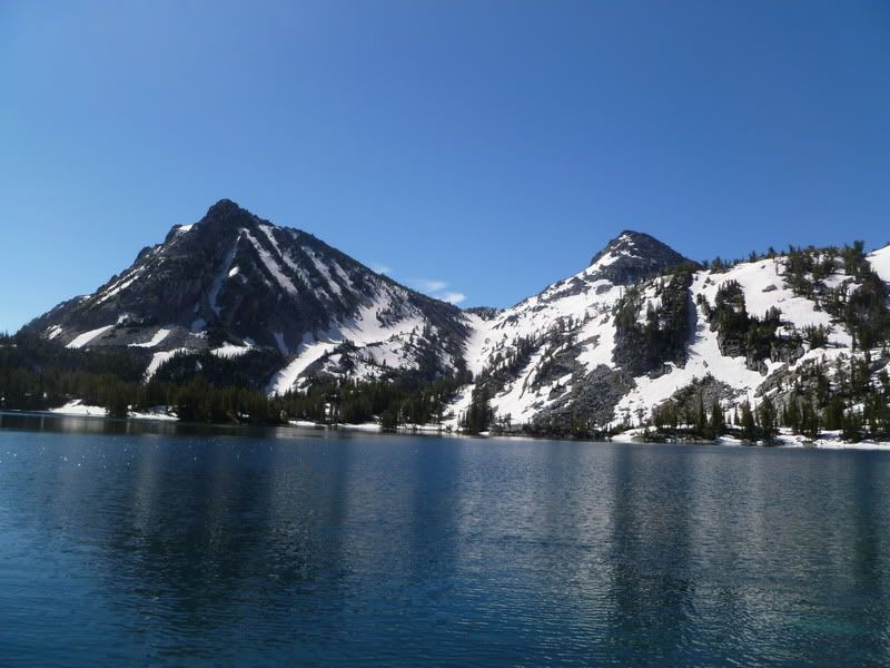
This is the right most peak we were looking at all morning and one hidden behind it.

Image

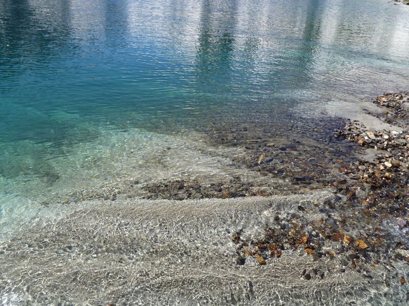
Our feet could only stand a few seconds at a time in this water.

Image

All in all a great trail. Easy grade getting up to the lake and well maintained. The map and book put the first part of the hike at 7.7 miles and taking us from about 4,600 ft to 7,800 ft in elevation gain.

AndyPandy
Posts: 13
Joined: March 18th, 2012, 9:52 am

Re: Eagle Cap- Ice Lake and Matterhorn

Post by AndyPandy » July 8th, 2012, 4:54 pm

From the head of Ice Lake to the top of the Matterhorn is a gain of about 2k ft in 2 miles. The trail here deteriorated to a glimpse if worn dirt and knocked down cairns. (sorry about the pics, they are flipped in photobucket but it isn't working over here)

The Matterhorn is that greyish thing.

Image

The trail was in here somewhere. We ended up getting over to the ridge on the right and following it up almost to the top of the peak. It was steep climbing but snow free and I didn't feel like kicking steps the whole way up. We slowed to about 1 mile an hour from the lake to the summit.

Image

The route we followed is now on the left.

Image

Image

Image

The summit area is really cool.

Image

Image

I believe this is looking down to Hurricane Creek.

Image

Image

Image

Image

Ice Lake way down.

Image

Image

We had a blast on this hike! Its been a long time since I have been this high and I was reminded how much I like air. We reached the summit at about noon and then we were able to glisade in a quick manner down to Ice Lake by 1. We then refilled our water and got back to the car by 3:15. 20 some odd miles, lots of ev gain and just about 10 hrs.

User avatar
potato
Posts: 1211
Joined: October 10th, 2011, 9:16 pm
Location: my car
Contact:

Re: Eagle Cap- Ice Lake and Matterhorn

Post by potato » July 8th, 2012, 7:01 pm

Wow, welcome, nice TR and pics! Looks awesome...
self observing universe (main blog)
Joe hikes (PCT blog)
Laws of Nature (bandcamp)

User avatar
Peder
Posts: 3401
Joined: May 28th, 2008, 10:02 pm
Location: Lake Oswego

Re: Eagle Cap- Ice Lake and Matterhorn

Post by Peder » July 8th, 2012, 8:22 pm

Great trip report! I desperately need to get further east in Oregon. The summit area is indeed "really cool" as you state it.
Some people are really fit at eighty; thankfully I still have many years to get into shape…

AndyPandy
Posts: 13
Joined: March 18th, 2012, 9:52 am

Re: Eagle Cap- Ice Lake and Matterhorn

Post by AndyPandy » July 8th, 2012, 8:44 pm

Thanks guys! Just noticed that the pics are only sideways in the preview post section. If only I had paid more attention at my uni geology class I might have something more informative to say than cool. Oh well, what's life without a little mystery?

LinnaeaB
Posts: 21
Joined: May 20th, 2012, 11:14 am

Re: Eagle Cap- Ice Lake and Matterhorn

Post by LinnaeaB » July 9th, 2012, 7:11 am

Great TR and welcome! Heading out there in August and this gives a good sense of snow levels. Chomping on the bit to get out there. Glad you had a great trip!
“Do not be angry with the rain; it simply does not know how to fall upwards.”
― Vladmir Nabakov

User avatar
BigBear
Posts: 1836
Joined: October 1st, 2009, 11:54 am

Re: Eagle Cap- Ice Lake and Matterhorn

Post by BigBear » July 9th, 2012, 8:56 am

Beautiful area.

Your summit shot showing all of the snow-covered ridges makes me wonder how clear the trails are. Obviously the passes are still snowbound.

AndyPandy
Posts: 13
Joined: March 18th, 2012, 9:52 am

Re: Eagle Cap- Ice Lake and Matterhorn

Post by AndyPandy » July 9th, 2012, 4:15 pm

BigBear wrote:Beautiful area.

Your summit shot showing all of the snow-covered ridges makes me wonder how clear the trails are. Obviously the passes are still snowbound.

I think the only reason we had so little snow is that the trail we took is one of the more North facing trails on the Northern side of the range. The peaks more South get the sun blocked by Sac and Matt. Things are definitely warming up though.

User avatar
kepPNW
Posts: 6411
Joined: June 21st, 2012, 9:55 am
Location: Salmon Creek

Re: Eagle Cap- Ice Lake and Matterhorn

Post by kepPNW » July 9th, 2012, 5:06 pm

Wow! Like, really *way* cool, I'd say. Helluva nice hike/climb. Gotta get that on my bucket list.

Looks like it was "only" about 5200 feet EG?
Karl
Back on the trail, again...

AndyPandy
Posts: 13
Joined: March 18th, 2012, 9:52 am

Re: Eagle Cap- Ice Lake and Matterhorn

Post by AndyPandy » July 9th, 2012, 7:20 pm

kepPNW wrote:
Looks like it was "only" about 5200 feet EG?
4650 to 9845 plus whatever ups and downs. All I know for sure is that the air felt a lot thicker coming down hill.

Post Reply