Last time, we went up from the north, so I decided to go from the south this time and chose Grouse Vista as the take-off point. (Requires a Discover Pass, I believe!)
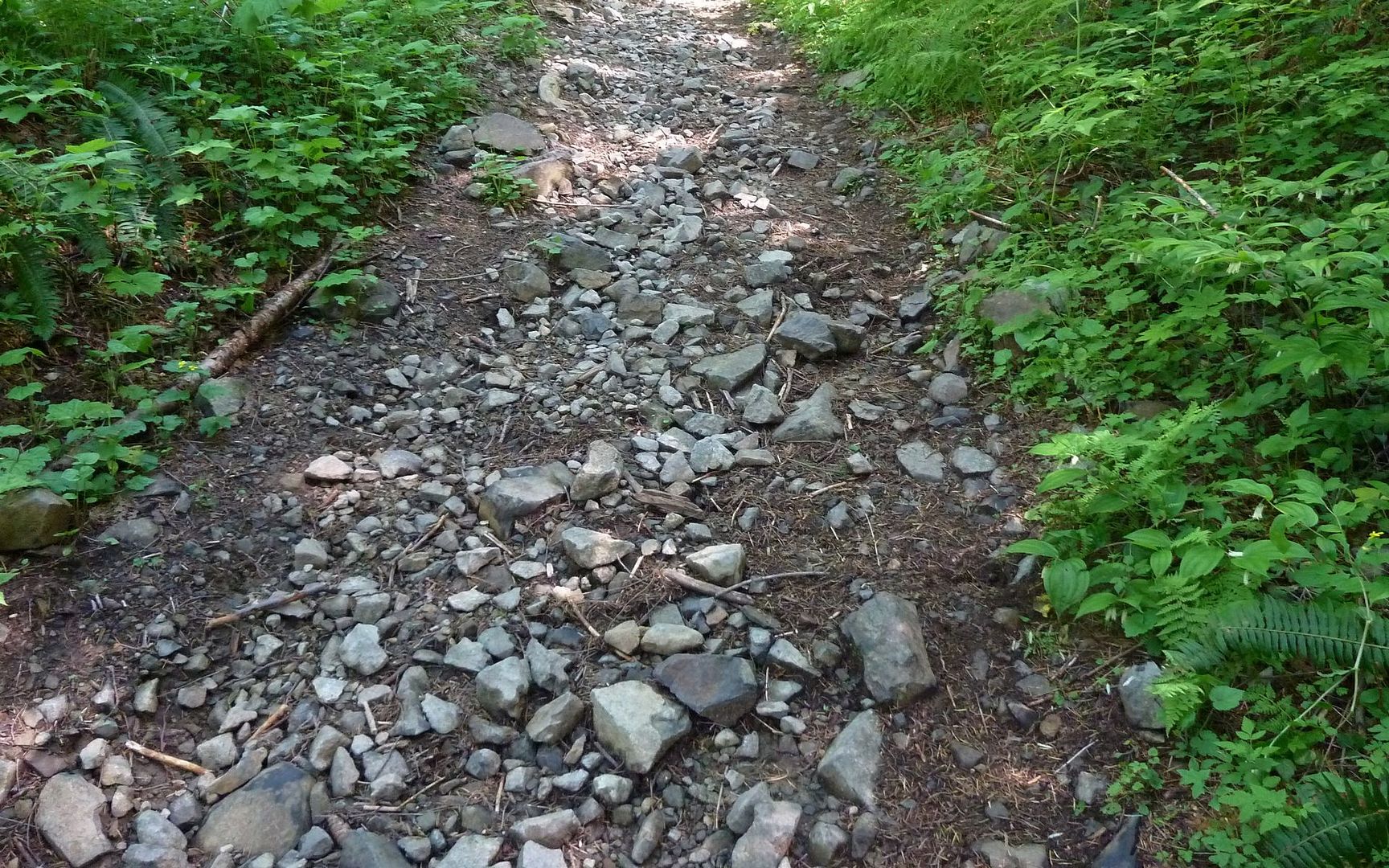
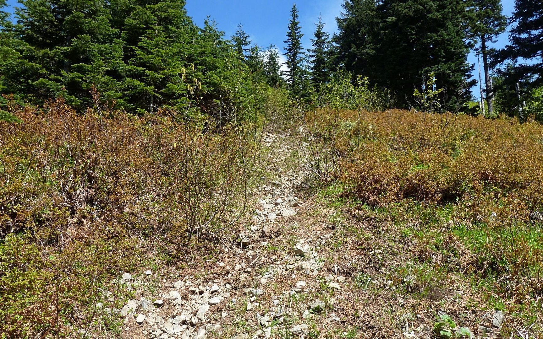
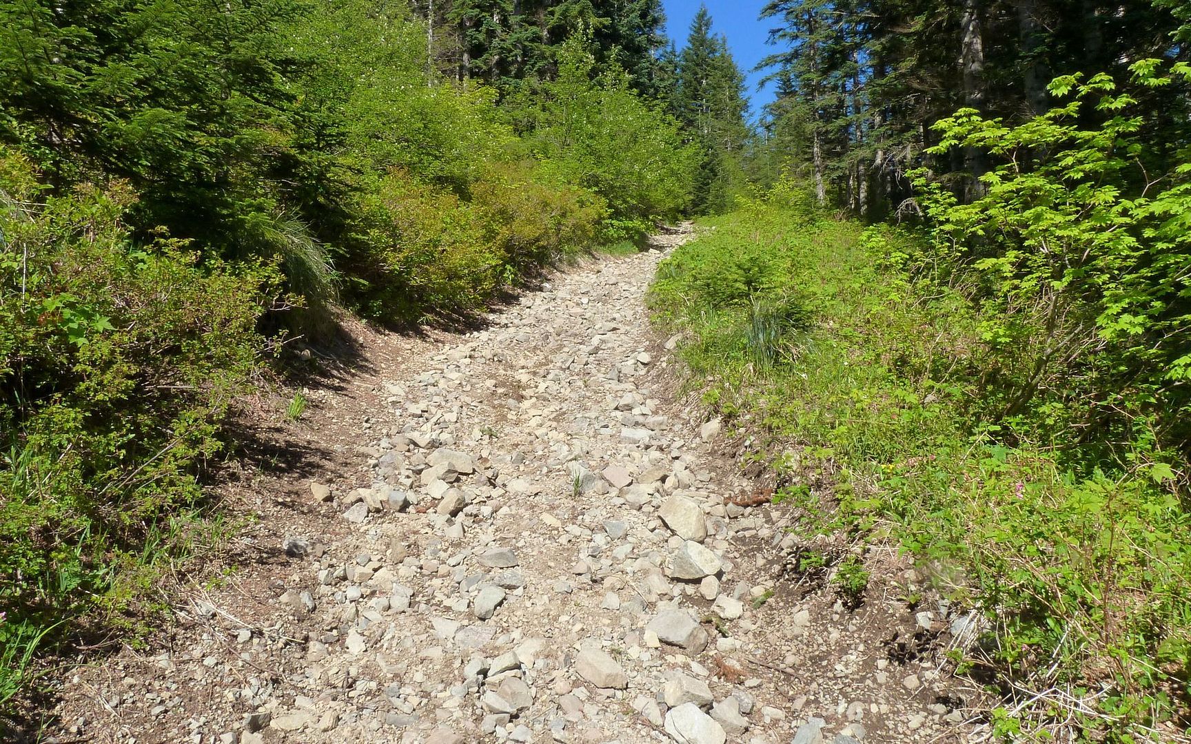
The initial grind was pretty real, for a guy still trying to shake off the cobwebs of age and too many years at a desk. Not to mention the baseball to softball sized rocks covering the trail.
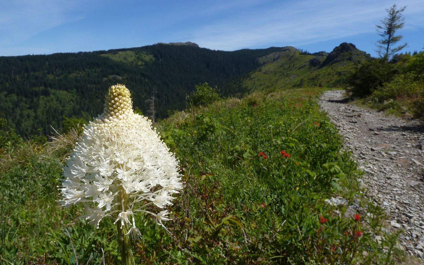
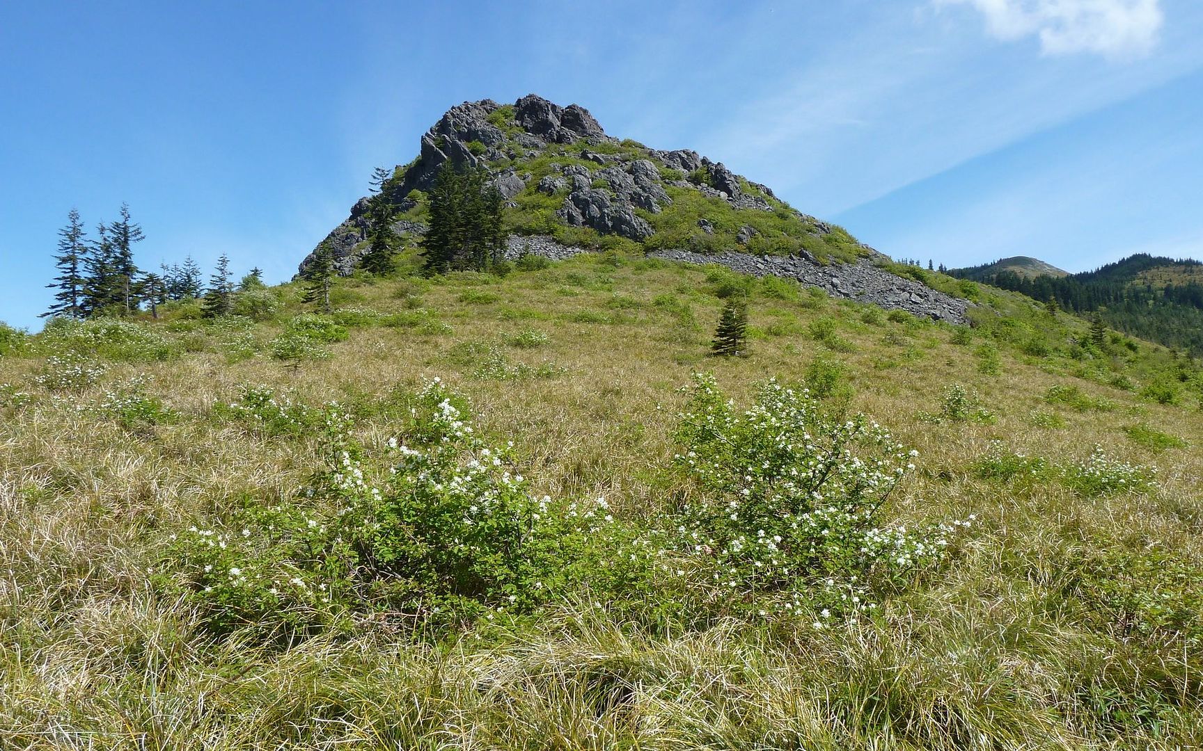
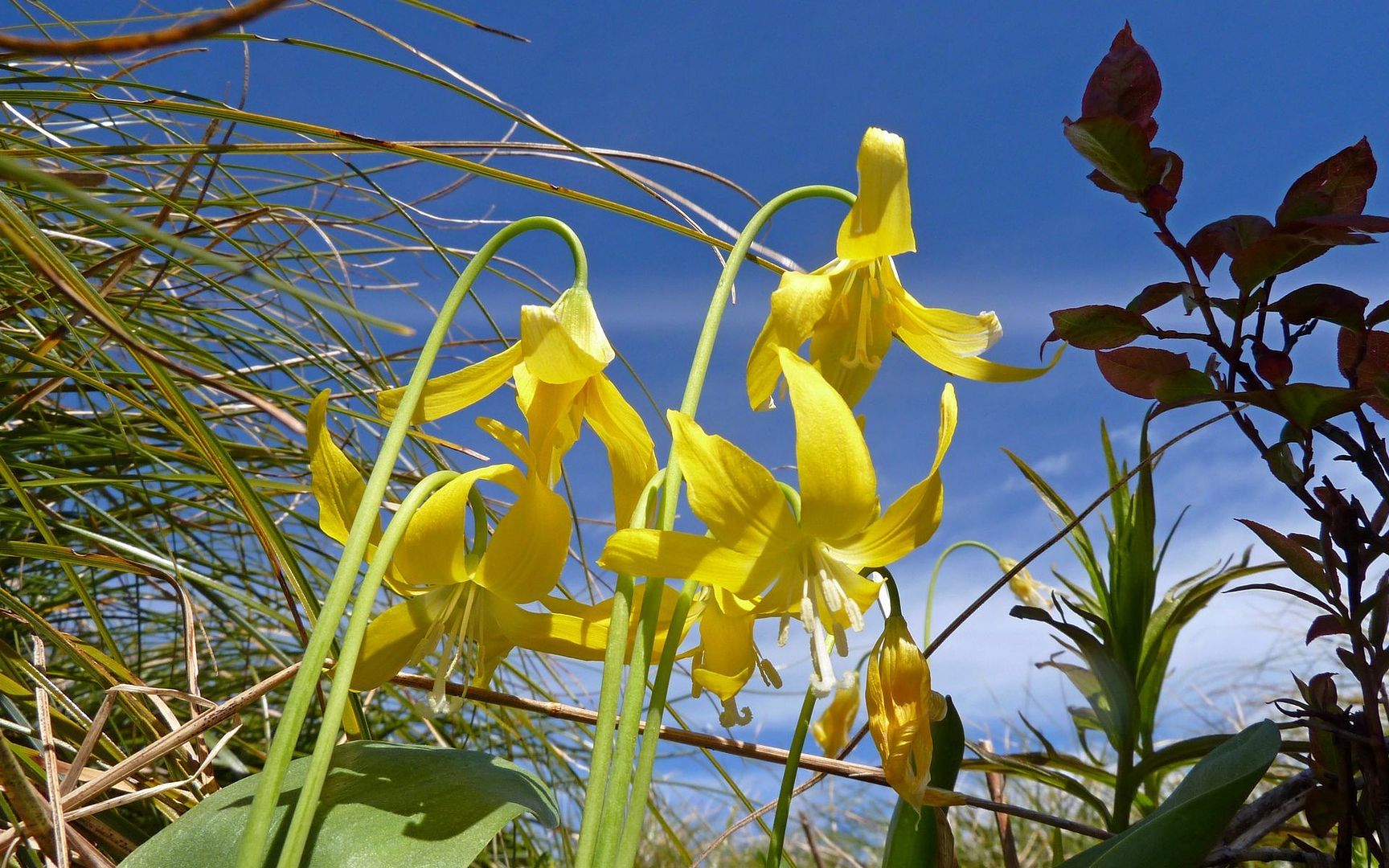
But it leveled off (somewhat) after a bit under a mile, and I entered the treeless realm of the 1902 Yacolt Burn. From this point on, the shade was pretty fleeting, but the flowers were just starting to emerge. As Sturgeon Rock first came into view, so did the first Indian Paintbrush and Beargrass.
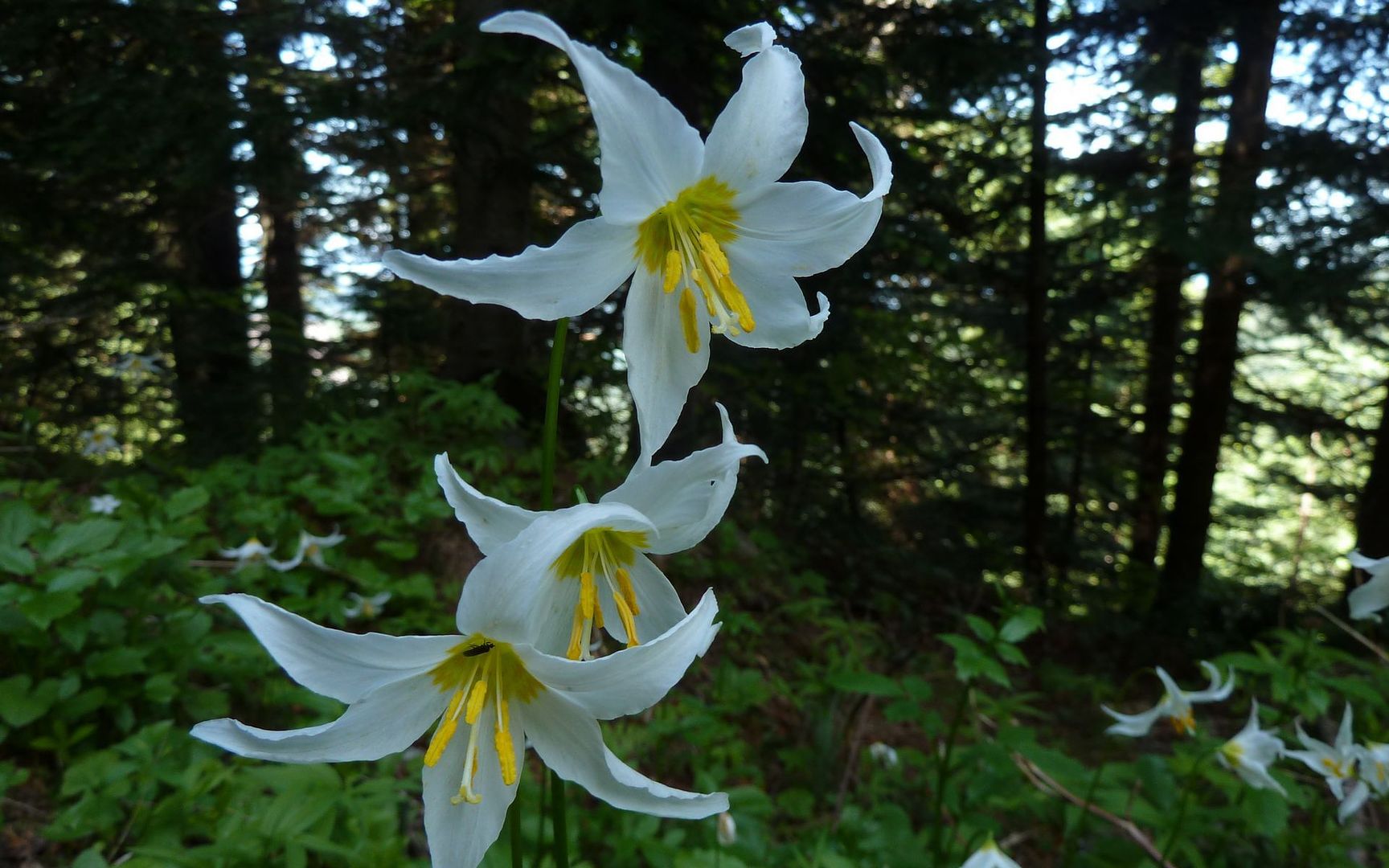
And then some Avalance lilies in a momentary patch of shade.
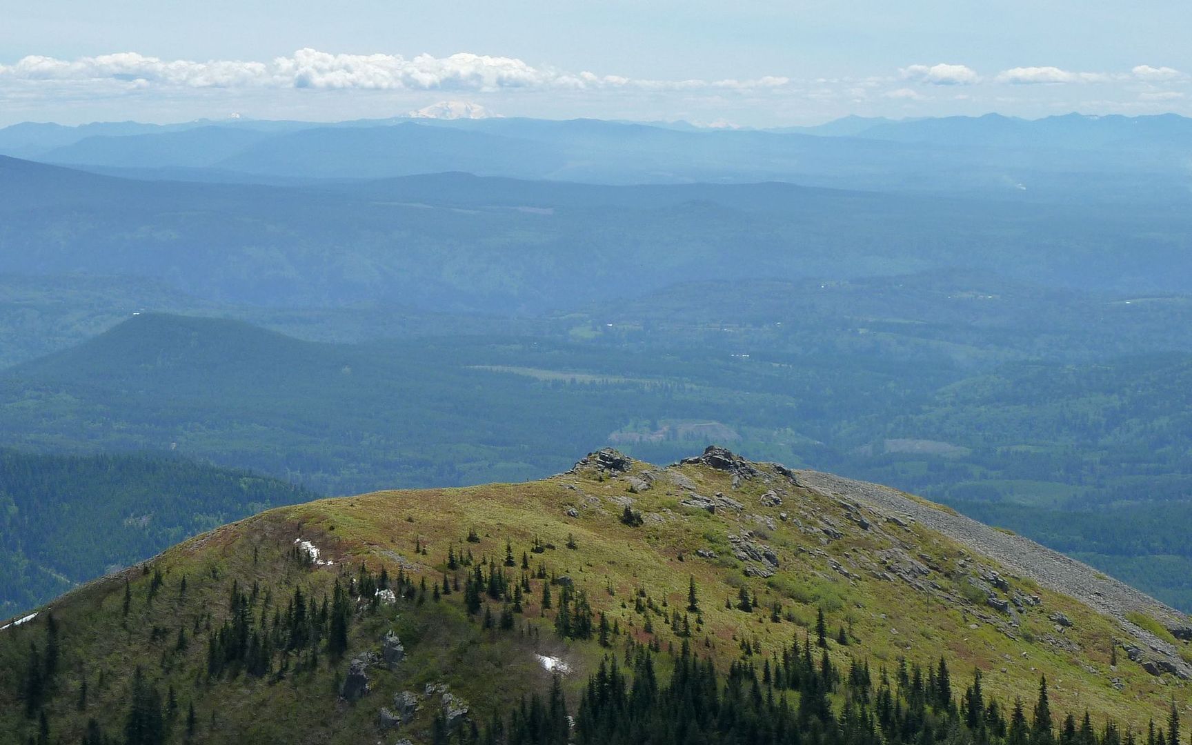
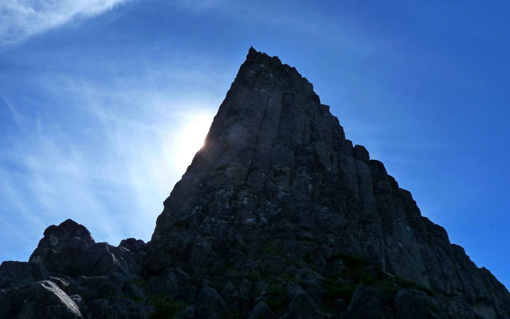
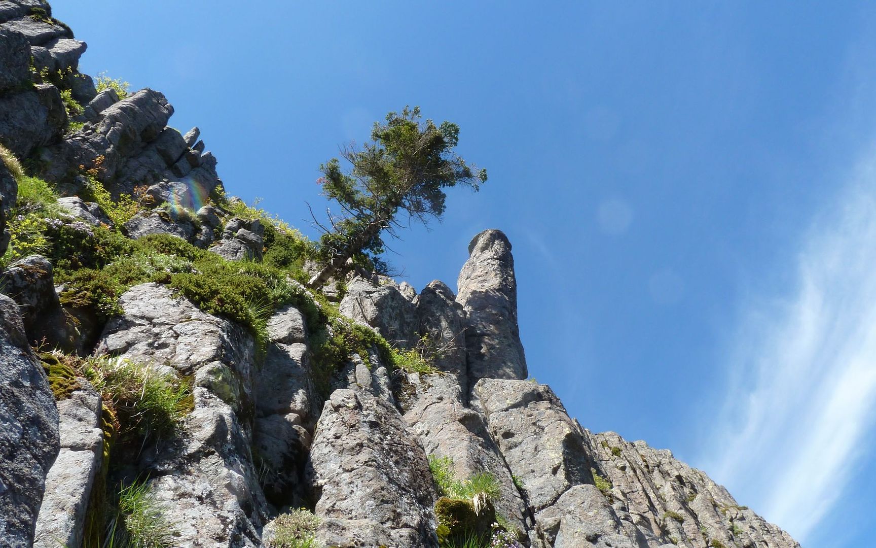
I decided to take the eastern route around Pyramid Rock, thinking I could scramble up that just to say I had. But when I got there, the next rock up looked higher, and I wasn't all that sure which was which anymore. Looking back, I now think this southern approach probably would've been the easiest one to take?
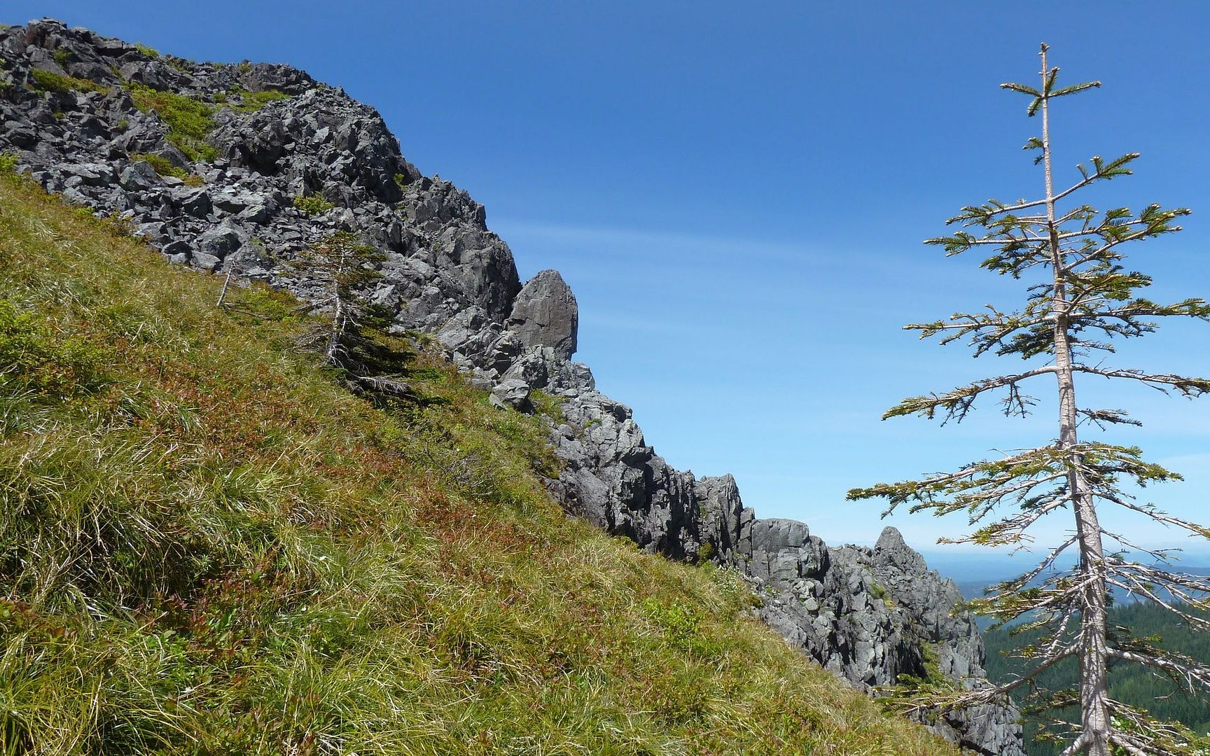
But instead I went between the two, got this far, and decided I had a lot of adventure ahead and this was something I'd do on the next run up.
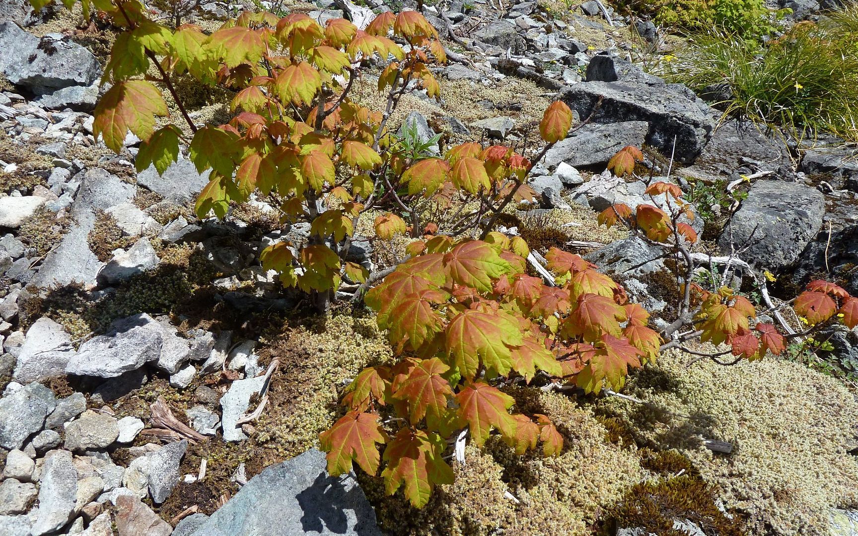
Continuing along the eastern side of this ridge, I ran into a small vine maple shrub that appeared to already be changing color. What's up with that?
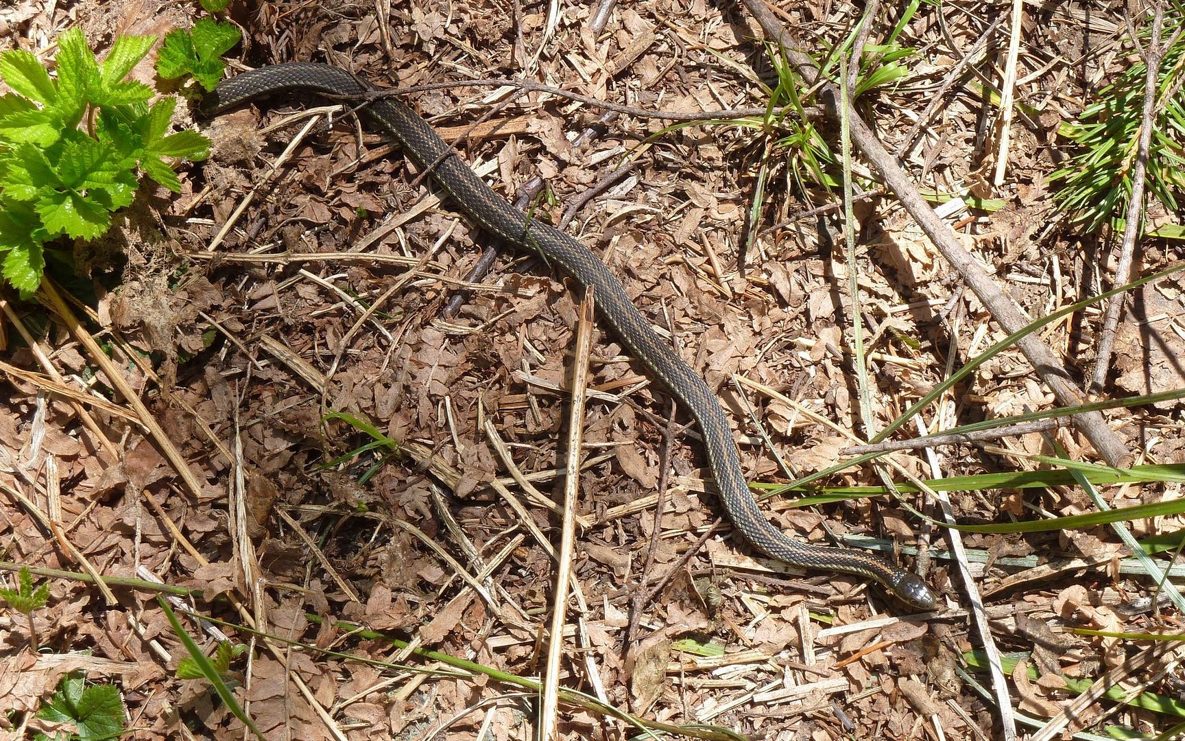
And then a little snake that didn't care how close I stuck the camera. That trail was his!
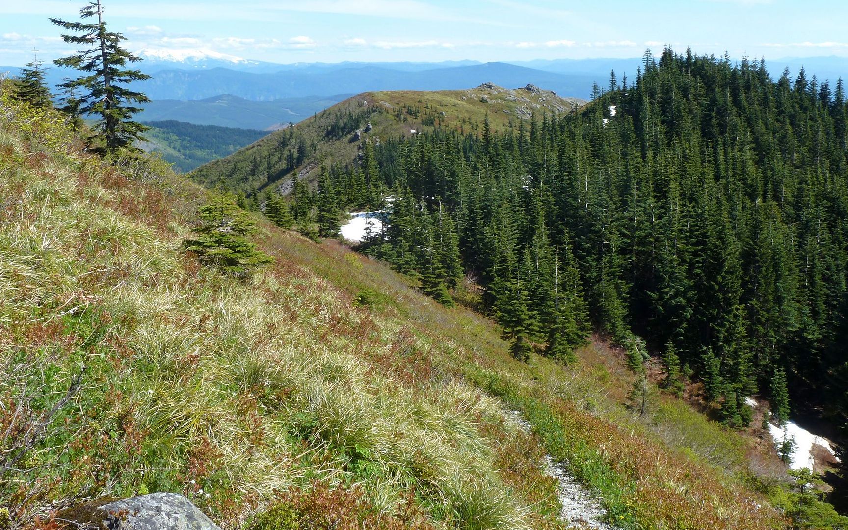
The "problem" with the eastern side of the ridge is, at the top where the trails reconnect, you have to follow a drainage feature right up the fall line, and it's pretty well grown over with scruffy stuff. Not all that pleasant, but passable.
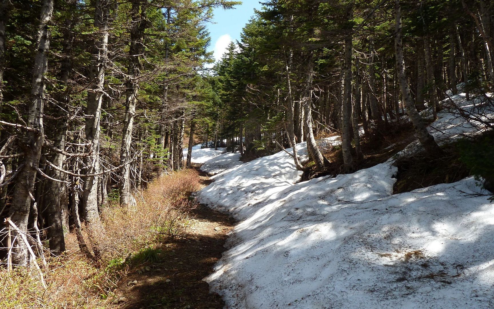
Ran into the first snow around 3800 feet, and it quickly became constant (in the shade) from there on up to the top. It was melting fast, though, and is probably just about gone now all except on the summit approach.
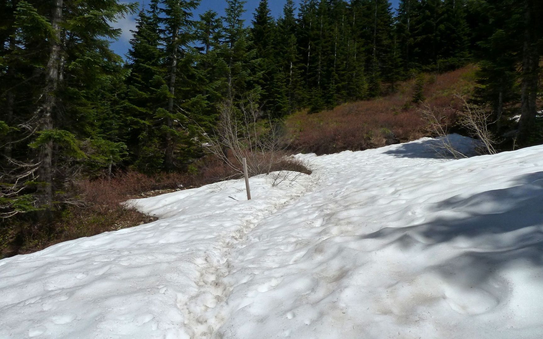
The 4-way junction, marked by a pole. Right to the Indian Pits, Left to Sturgeon Rock, Forward to the Summit.
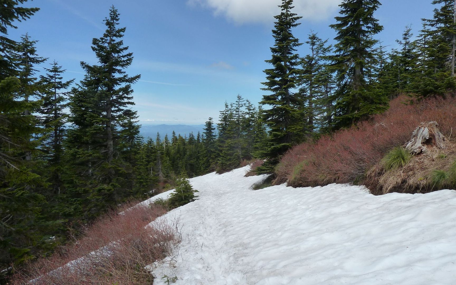
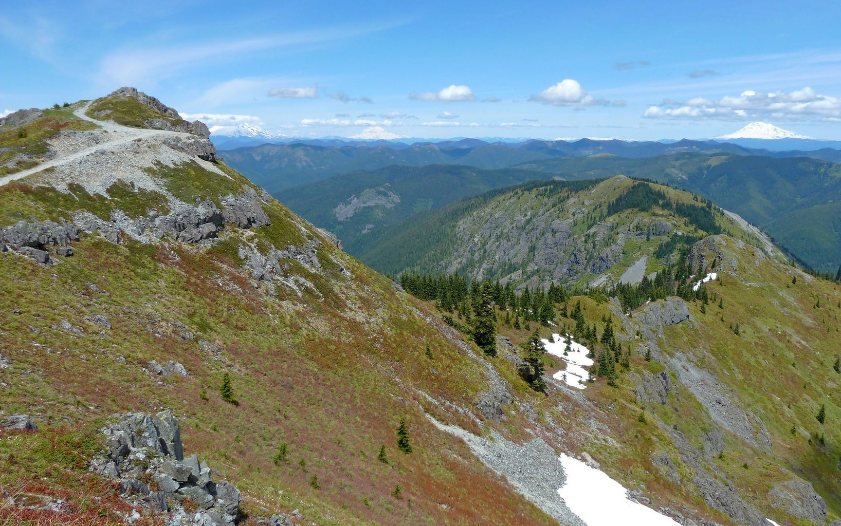
Looking back down the summit approach.
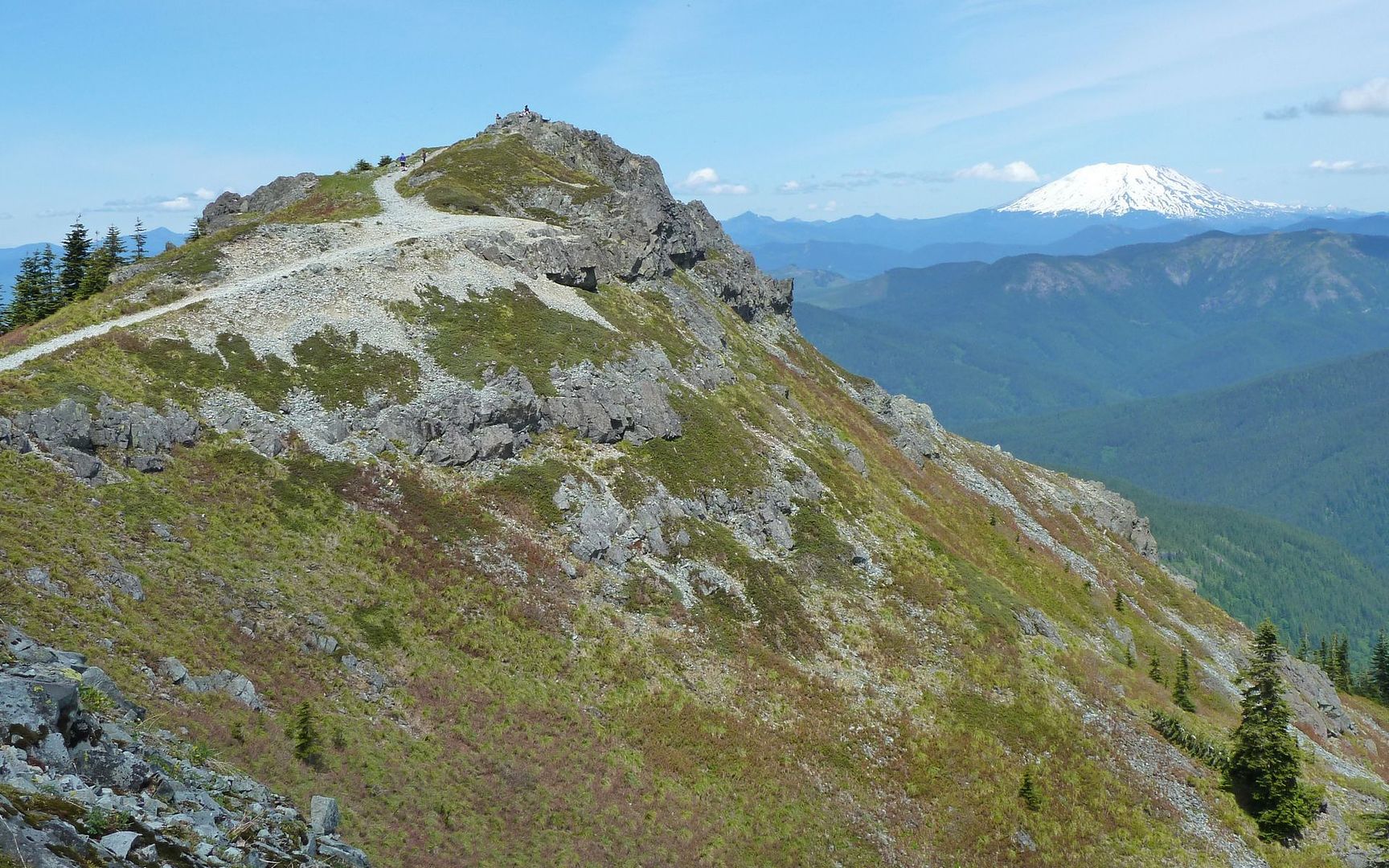
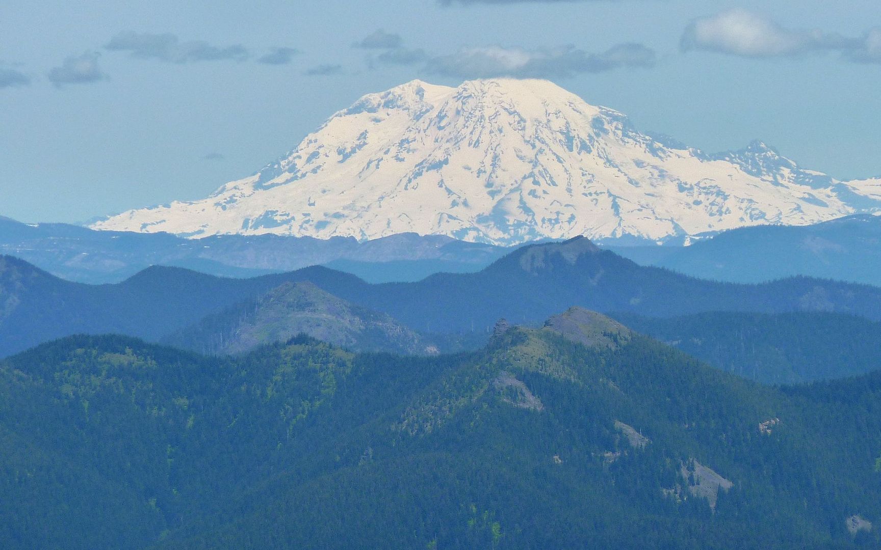
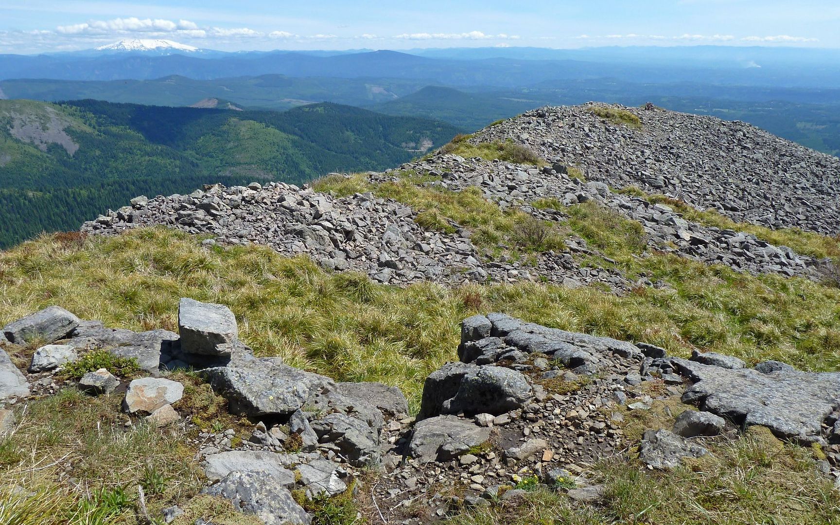
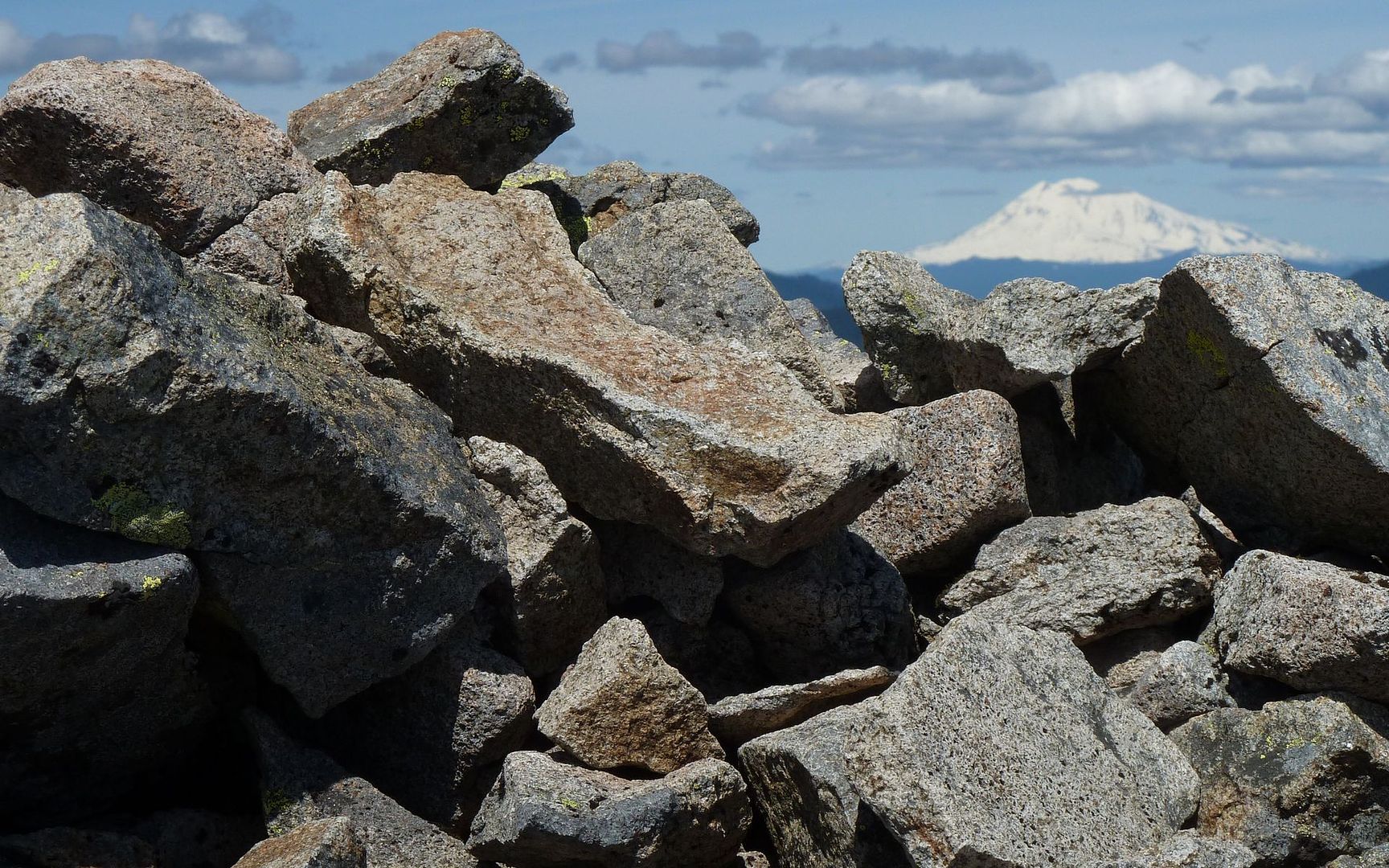
There was already a group on the main summit, so I headed first to Star 2, and just soaked it all in from there. Wow! Nothing like the last/only time I'd been here! Mountains in every direction. Helens and Rainier in the north, Adams and Hood to the east, Jeff and Three Sisters in the south, and Saddle to the west.
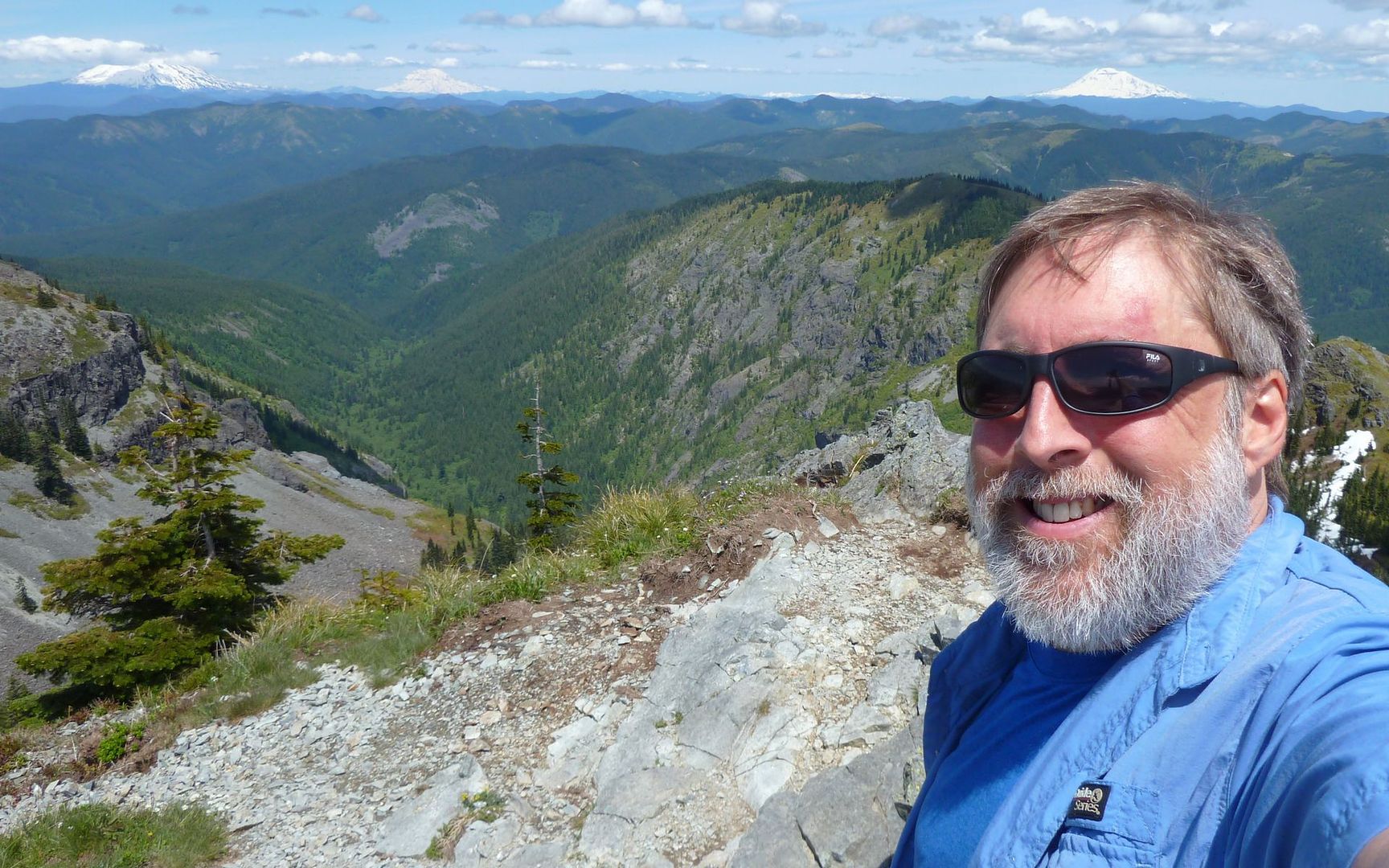
After the other group left, I wandered over to the main summit, ate a little lunch, and started planning the rest of the day. Decided I'd go out to the Indian Pits first, ...
... and then over to Sturgeon Rock.
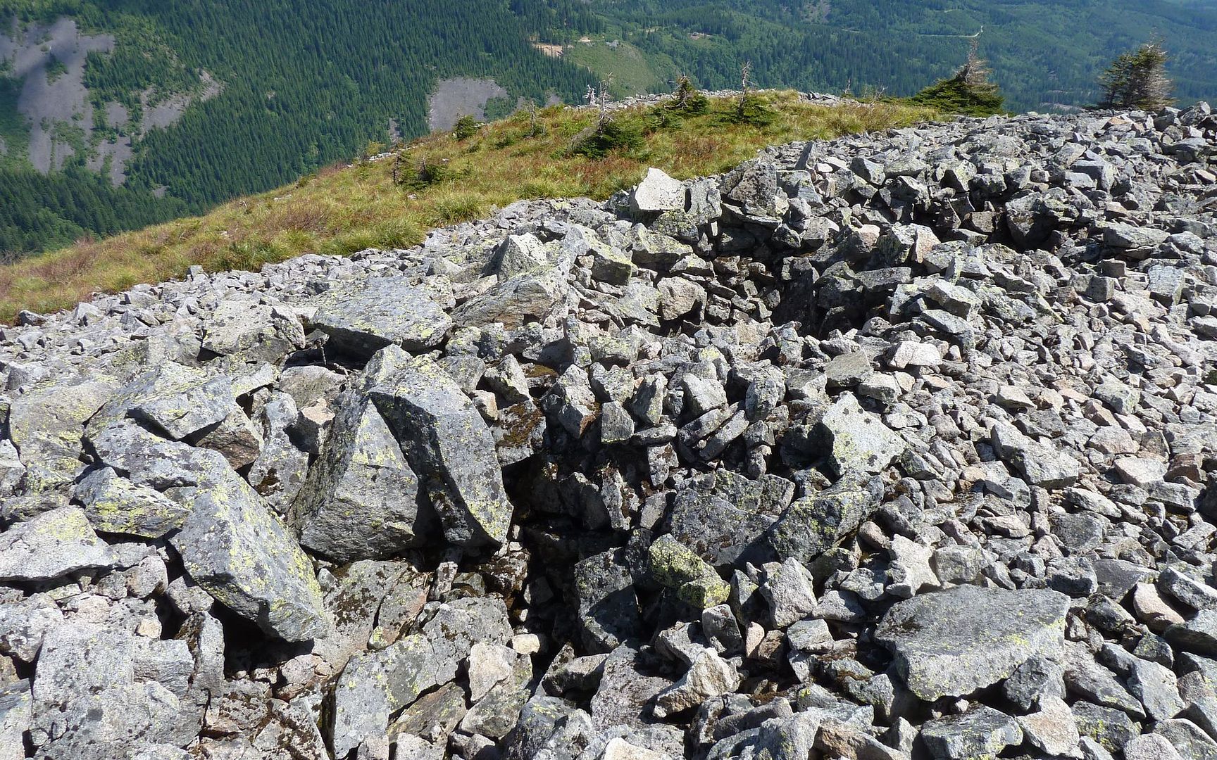
So I descended back down to that 4-way junction, and headed east from there. The Indian Pits are a bit over a mile out on this spur, and definitely something everyone needs to get to. They're just surreal. The ridge is "klinkery" andesite (I think), by which I mean that as you walk you hear a constant klinking sound of the rocks against one another. As it was most of the day, here too I was totally alone.
The sun was too high to really capture the pits themselves. But there are at least a dozen of these, each up to 6 feet deep, or more.
Was a little surprised to see good evidence of past glaciation up here, too.
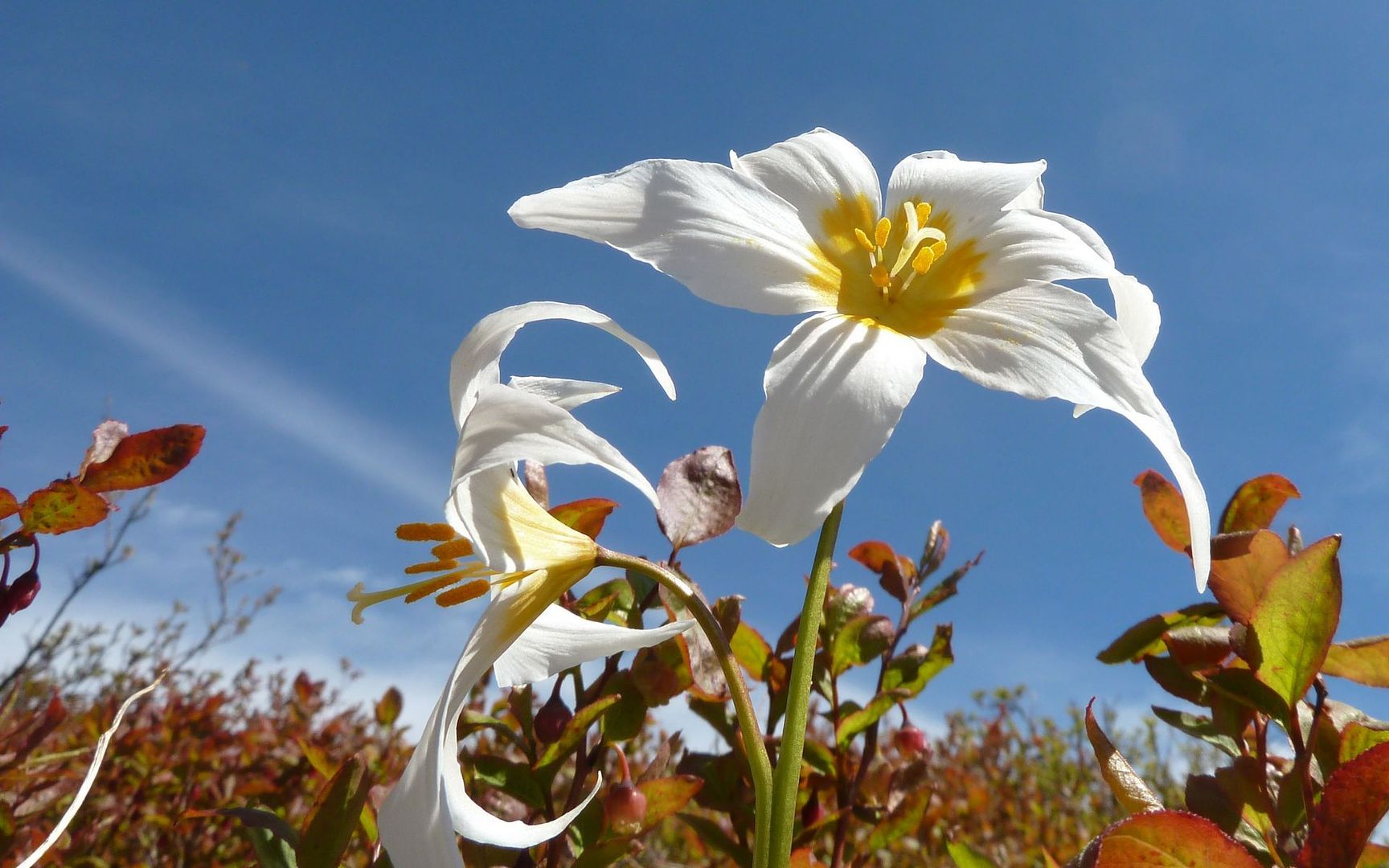
The meadows on the way out to the Indian Pits had a few patches of Avalance Lilies, but I'm sure the best is still to come!
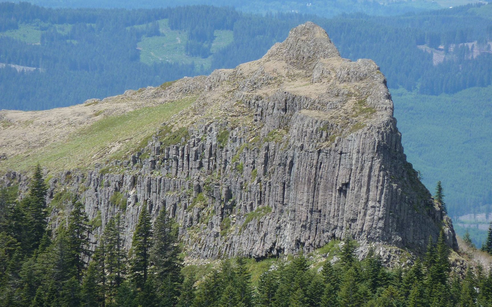
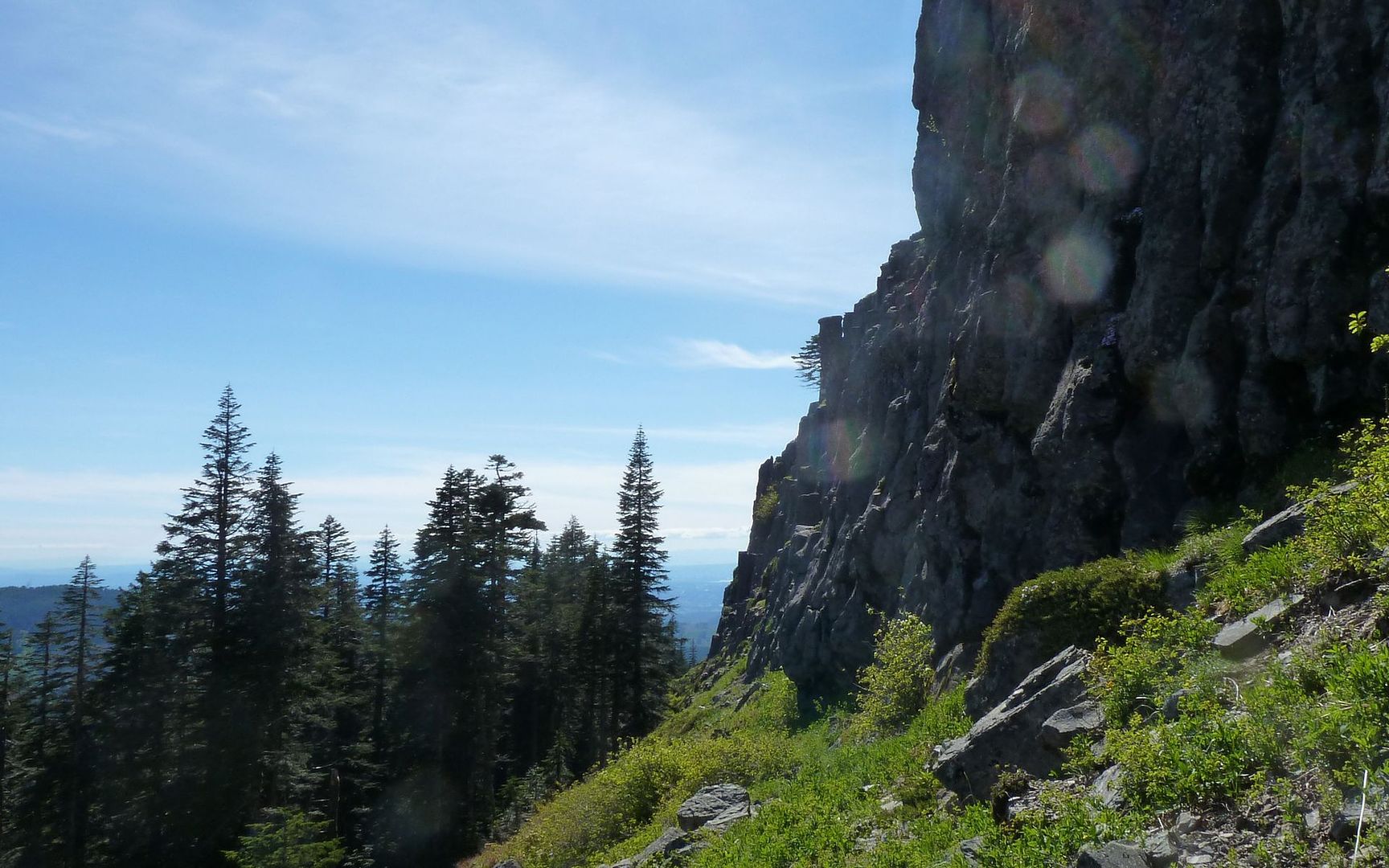
On to Sturgeon Rock! This one was weird. It's almost totally hidden in the trees, from the trail. Or at least that's the effect. The "problem" here is, again, those damned large rocks you need to navigate, which force you to pay all attention to the ground to avoid blowing an ankle! Anyway, at one point I looked to my right, and there it was. So I backed up a bit, and then went offtrail to get to the eastern (highest) end of it.
Wandered along the southern edge of it for awhile...
Before finally returning to the trail and following that to the end. I then again went offtrail, and found a "staircase" up to the top of the lower portion of the rock. Made it to the spine, and (sadly) looked at my watch. I had lost track of time, and was already overdue. Well, another thing to check-off on the next trip up here!
So, I descended back to the trail, and swore at it for the next mile or two. Damned jeep trails...
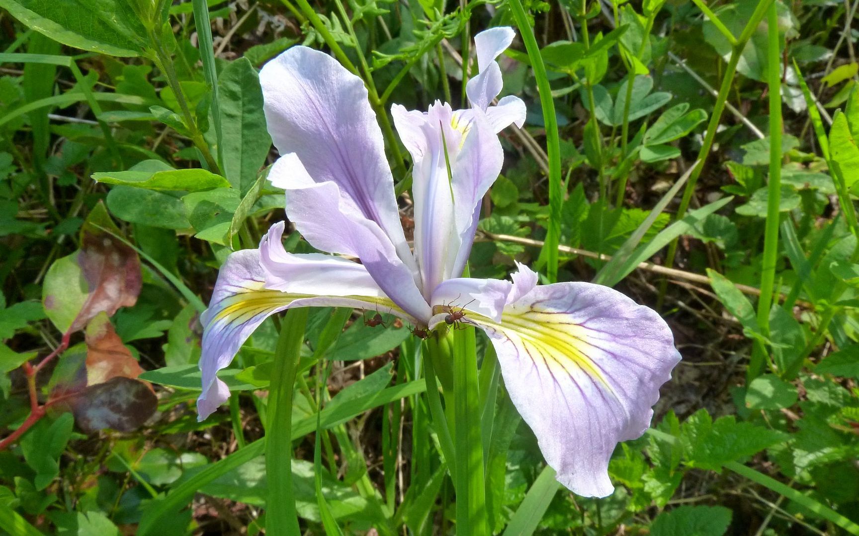
Before hooking back up with the Tarbell Trail, which wound through the woods at relatively modest elevation loss, especially the last couple miles, for the final trek back to the car. This is really where the most wildflowers were, this week. Iris, paintbrush, beargrass, and so on. Not at the "oh my!" point, by any means.
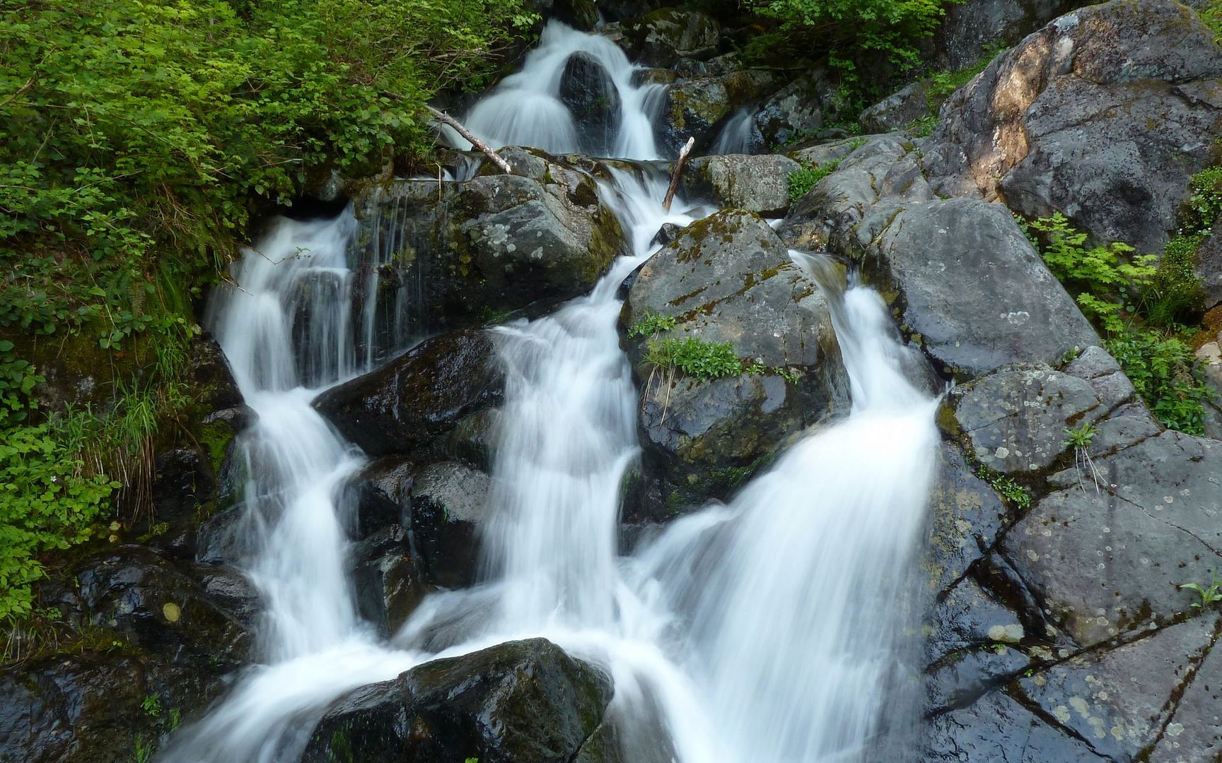
Ran into a waterfall I didn't expect! Was virtually out of water, so refilled here. (I grew up before bicycle helmets.)
If you're looking for flowers, I think it might still be another week or two, before they might approach maxing out up there. But if you get a beautiful day, well, you could sure choose worse places to go!
Final numbers: About 11.5 miles and 5000 feet elevation gain over 8 hours (track).