Fat Wahtum Loop

This forum is used to share your experiences out on the trails.
Post Reply
User avatar
drm
Posts: 6154
Joined: May 28th, 2008, 10:03 pm
Location: The Dalles, OR
Contact:

Fat Wahtum Loop

Post by drm » June 17th, 2012, 2:51 pm

Wahtum Lake is a Grand Central Station of hiking trails, and there are many loops that can be made with this lake as the focal point. Most people do the quickest loops, connecting Herman or Eagle Creek to the PCT, if not just going up and down Eagle Creek. But longer loops can be done and I call these loops Fat Wahtum Loops. I decided to make the fat part on the top on this hike. My route was up Ruckel Creek to the PCT to Wahtum. Down Eagle Creek and then left up to Tanner Ridge and Butte, and then back down the Tanner Butte Trail to Eagle Creek. Camps were at Wahtum Lake and on top of Tanner Butte.

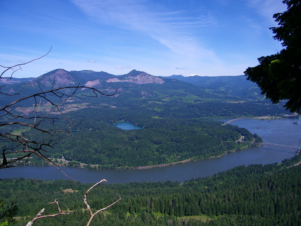
We started up the relentlessly steep Ruckel Creek trail and had a nice view of the Columbia River at one point.
Image

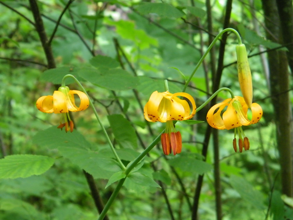
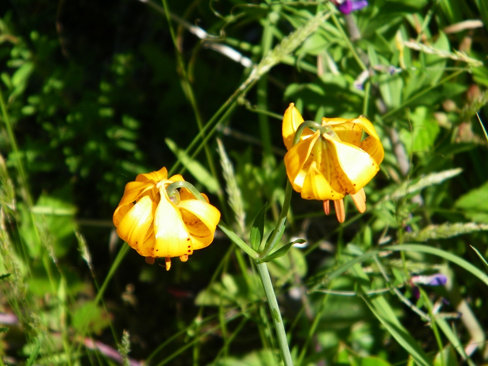
Some flowers were blooming as well.
Image

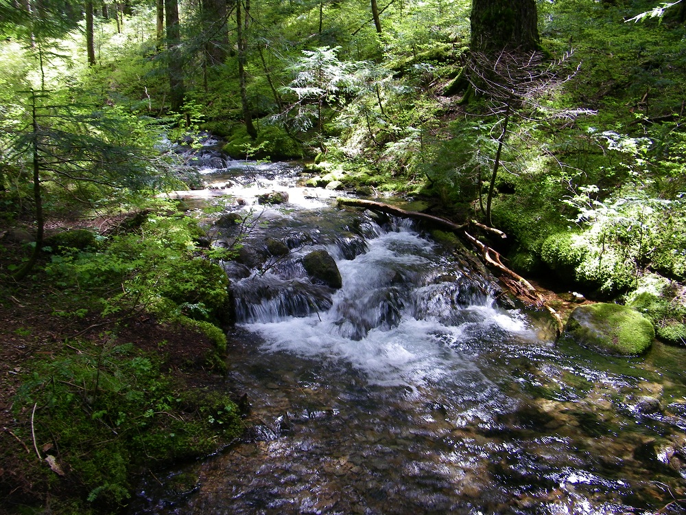
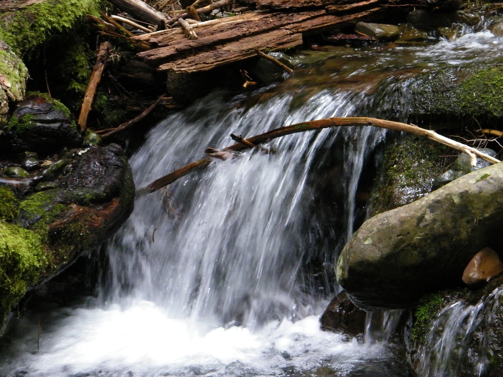
After the steep climb of 4000 feet, we reached Hunter's Camp on the edge of the Benson Plateau. Here is Ruckel Creek.
Image

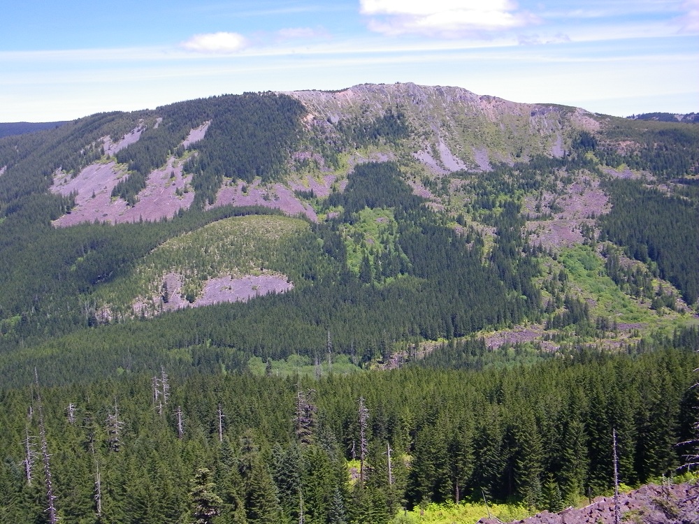
Soon after we joined the Pacific Crest Trail and had an open area
Image
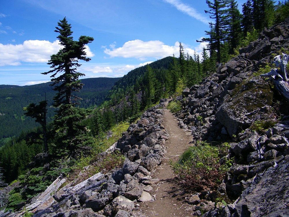
with a nice view across to Tomlike Mountain.
Image

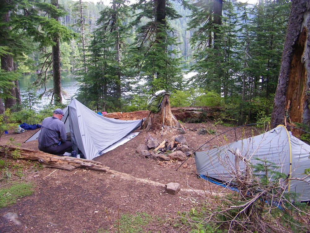
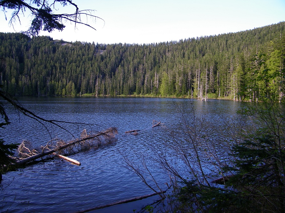
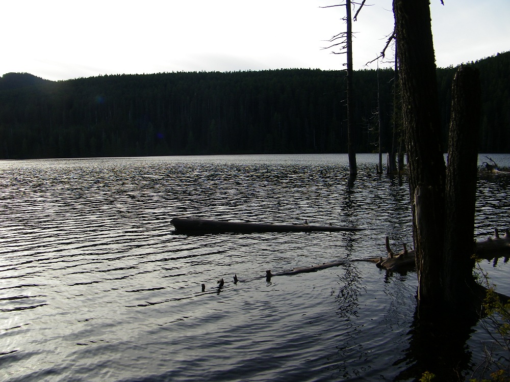
Our goal for that day was Wahtum Lake, and we got a nice camp. Note: the flies are out. I got a couple of bites but mostly they were just annoying, flying behind my glasses, etc.
Image

Image

Image

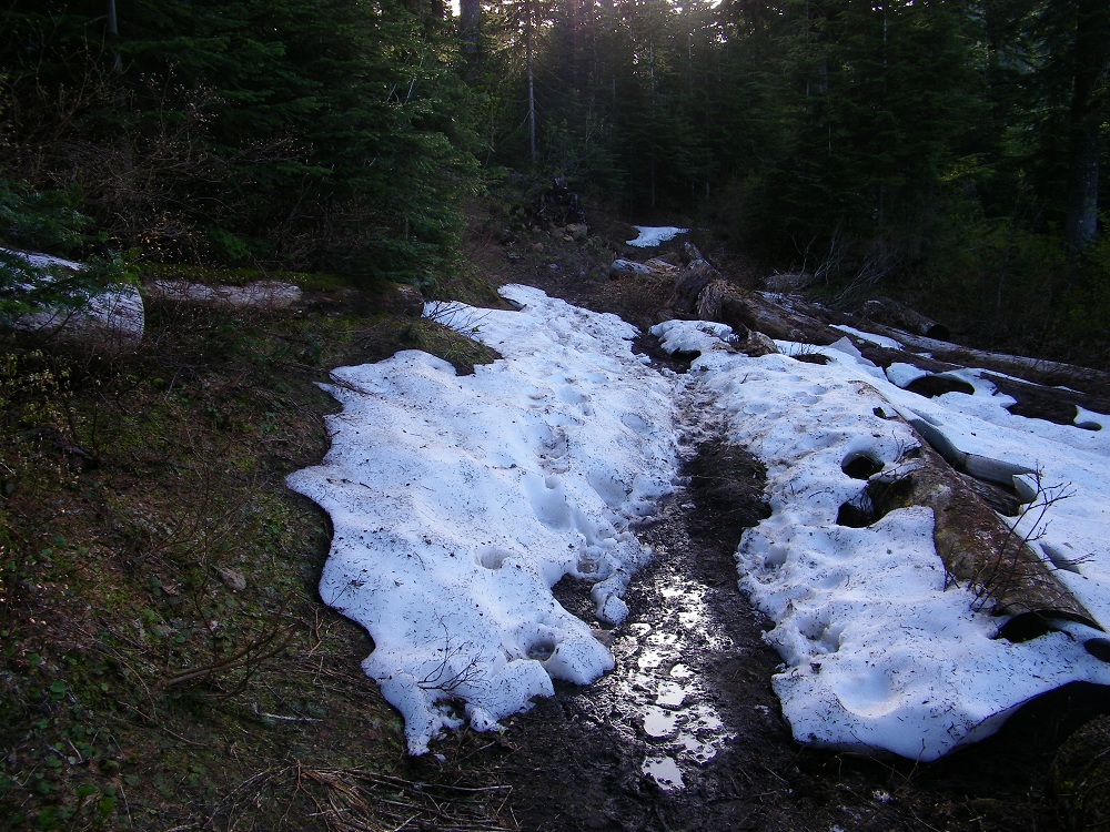
There was still some snow left and lots of mud.
Image

The next morning it is down the Eagle Creek trail for 6 miles.
Image

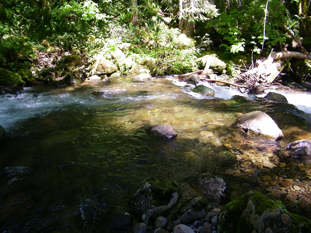
Then I turned left on the Eagle-Tanner trail and in one mile had to wade across Eagle Creek. It was mid-thigh depth, but the current was not too strong.
Image

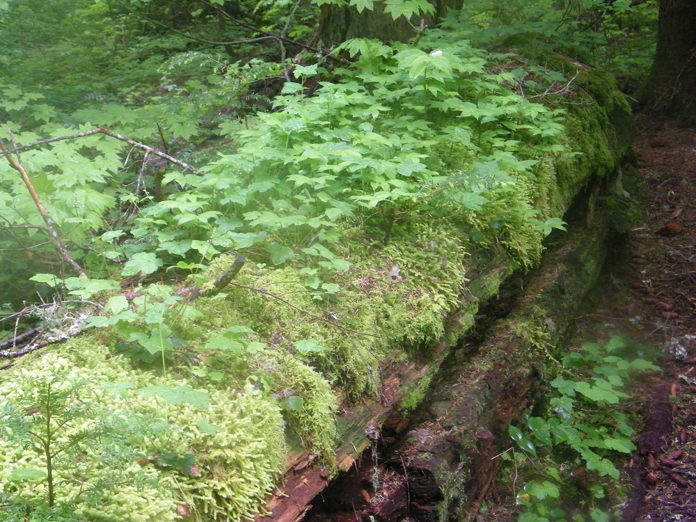
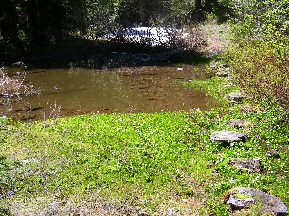
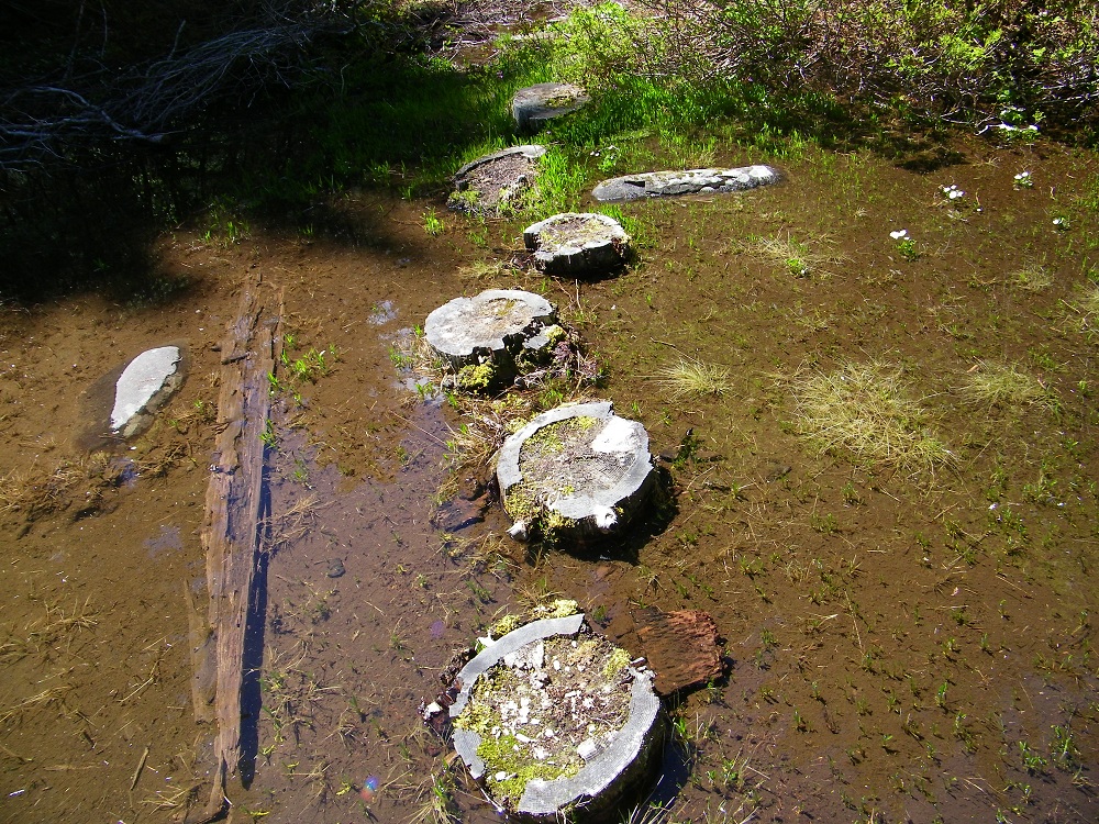
Then comes the 2000 foot climb up to Tanner Ridge. I lost the trail for a while just before Big Cedar Spring Camp and had to search around for it. Near the top, you cross Thrush Pond on these lotus-leaf stepping stone logs.
Image

Image

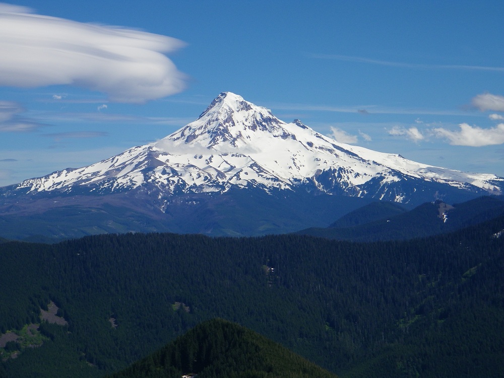
The goal for that night was Tanner Butte. I had planned to get water at Tanner Spring, but the snow there apparently covered the spring and I had to melt snow. I got to the Butte at 4pm and it was gorgeous. Here was the view of Mt. Hood. :P
Image

I had planned to enjoy the sunset and sunrise from that spectacular summit, but the weather had another idea. :o Clouds moved in and it started raining just before sunset. The butte was in a cloud bank all night, This was my view inside my tent instead. :cry:
Image

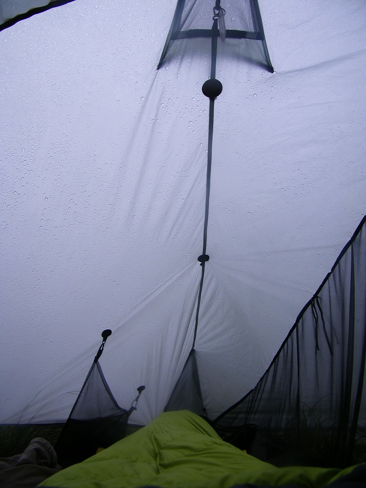
And instead of camping right on the summit, I found a sheltered spot 50 yards away.
Image

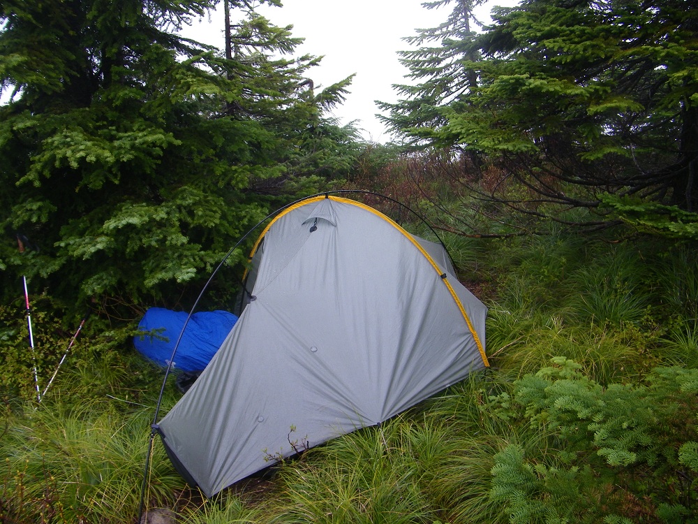
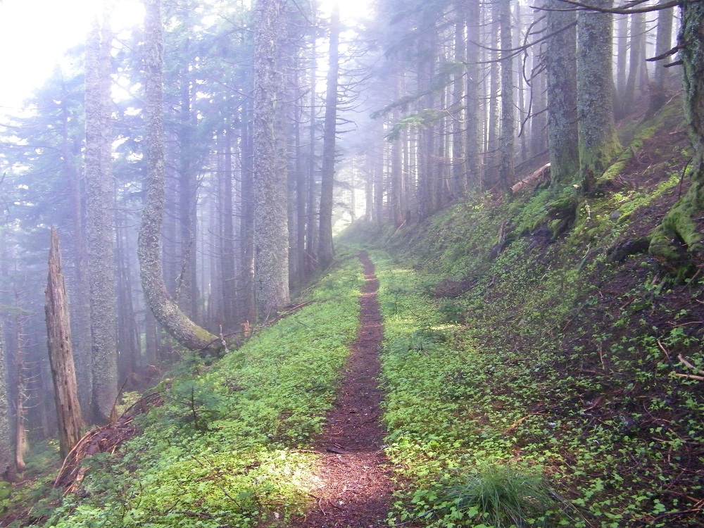
But I was warm and cozy and dry in my tent at least. In the morning the rain stopped but I still had a mostly misty hike back down.
Image

Image

Image
Last edited by drm on June 18th, 2012, 7:32 am, edited 1 time in total.

User avatar
retired jerry
Posts: 14425
Joined: May 28th, 2008, 10:03 pm

Re: Fat Wahum Loop

Post by retired jerry » June 17th, 2012, 4:18 pm

Good idea

It's about time for me to do a backpack trip and maybe that makes more sense than trying to go up higher on Mount Hood where there's too much snow.

User avatar
Peder
Posts: 3401
Joined: May 28th, 2008, 10:02 pm
Location: Lake Oswego

Re: Fat Wahum Loop

Post by Peder » June 17th, 2012, 9:26 pm

I had planned to enjoy the sunset and sunrise from that spectacular summit, but the weather had another idea. Clouds moved in and it started raining just before sunset.
Bad luck Dean! Sunset and sunrise must be fantastic from Tanner Butte. Now you have an excuse to go back... :) Great report and pictures as always. Thank you for sharing.
Some people are really fit at eighty; thankfully I still have many years to get into shape…

User avatar
renegadepilgrim
Posts: 585
Joined: October 15th, 2010, 8:11 pm
Contact:

Re: Fat Wahum Loop

Post by renegadepilgrim » June 18th, 2012, 4:50 am

Good to see most of the snow is gone up there at Wahtum....you guys camped at the same site as we did over Memorial Day Weekend...only we had three tents and a hammock there due to the snow...
Travel and Outdoor Adventure Website: http://www.renegadepilgrim.com
Instagram/Tumblr/Twitter: renegadepilgrim

User avatar
jamesthehiker
Posts: 209
Joined: May 28th, 2008, 10:03 pm

Re: Fat Wahtum Loop

Post by jamesthehiker » June 18th, 2012, 12:57 pm

Great trip report and pictures. I like the view inside your tent, that was funny. Appreciate the Eagle Creek crossing picture as I've been wanting to go up that way and was wondering how difficult it would be to cross. It is awesome that there are so many trails that you can create a unique trip that is just the right distance and difficulty.

Post Reply