Day 1 - 9.5 miles, 3000 ft
Since the snow courses were reading very low levels, I thought I'd make an attempt at North Lake–South Lake loop, but I realized that this was a likely impractical goal given how early it still was in the season.
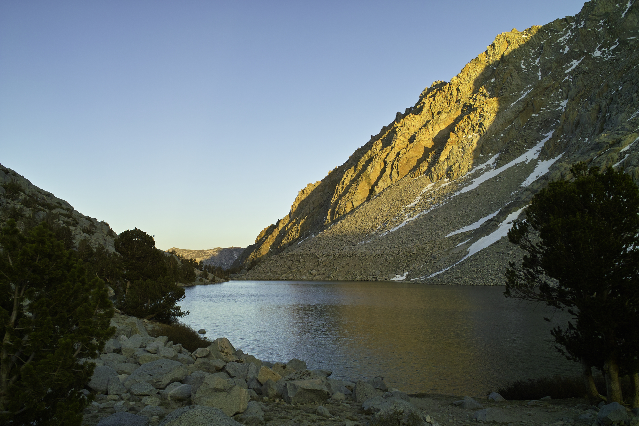
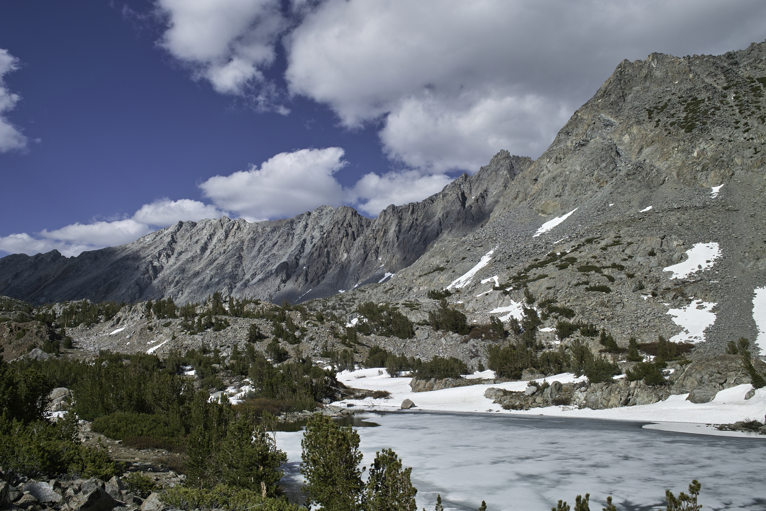
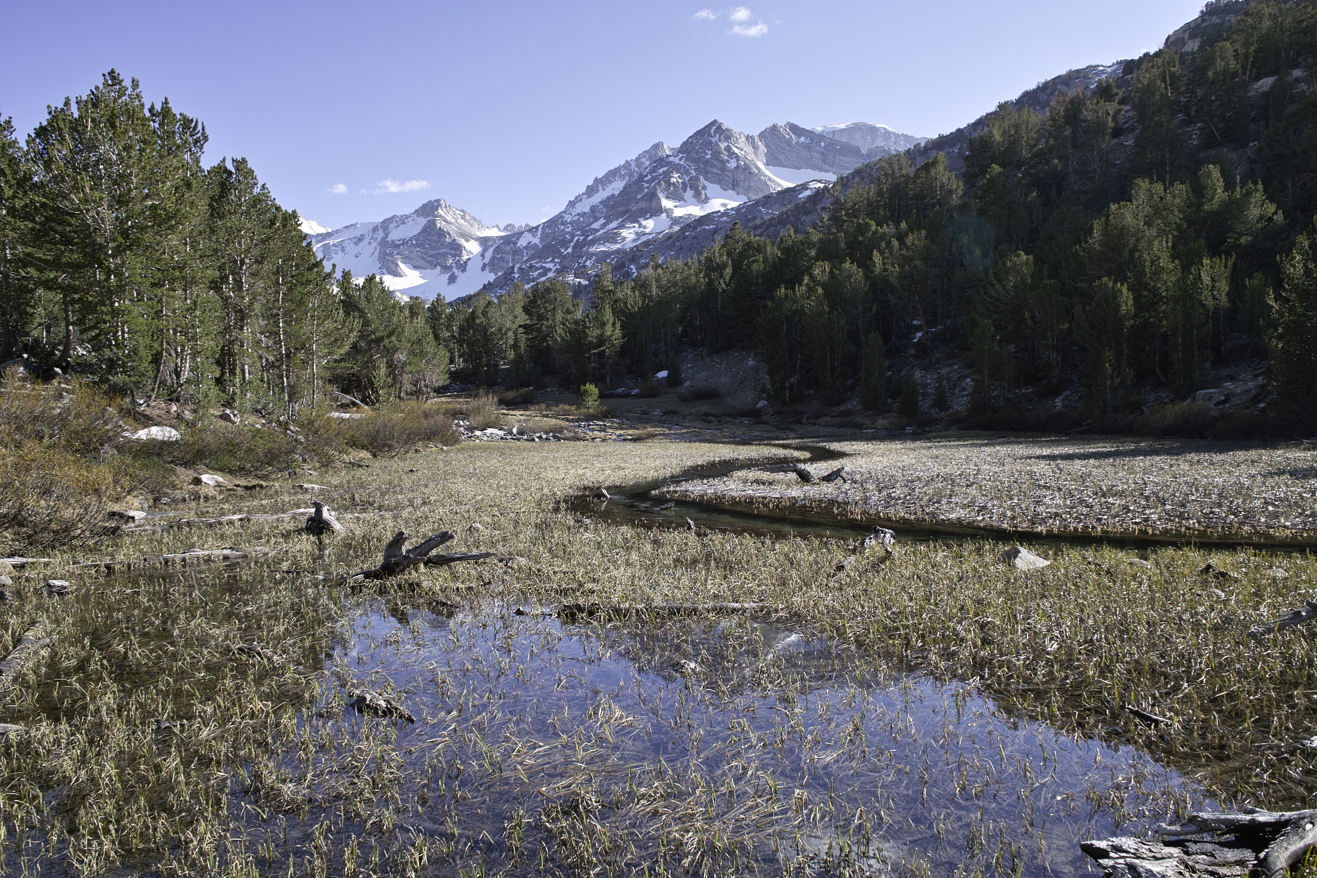
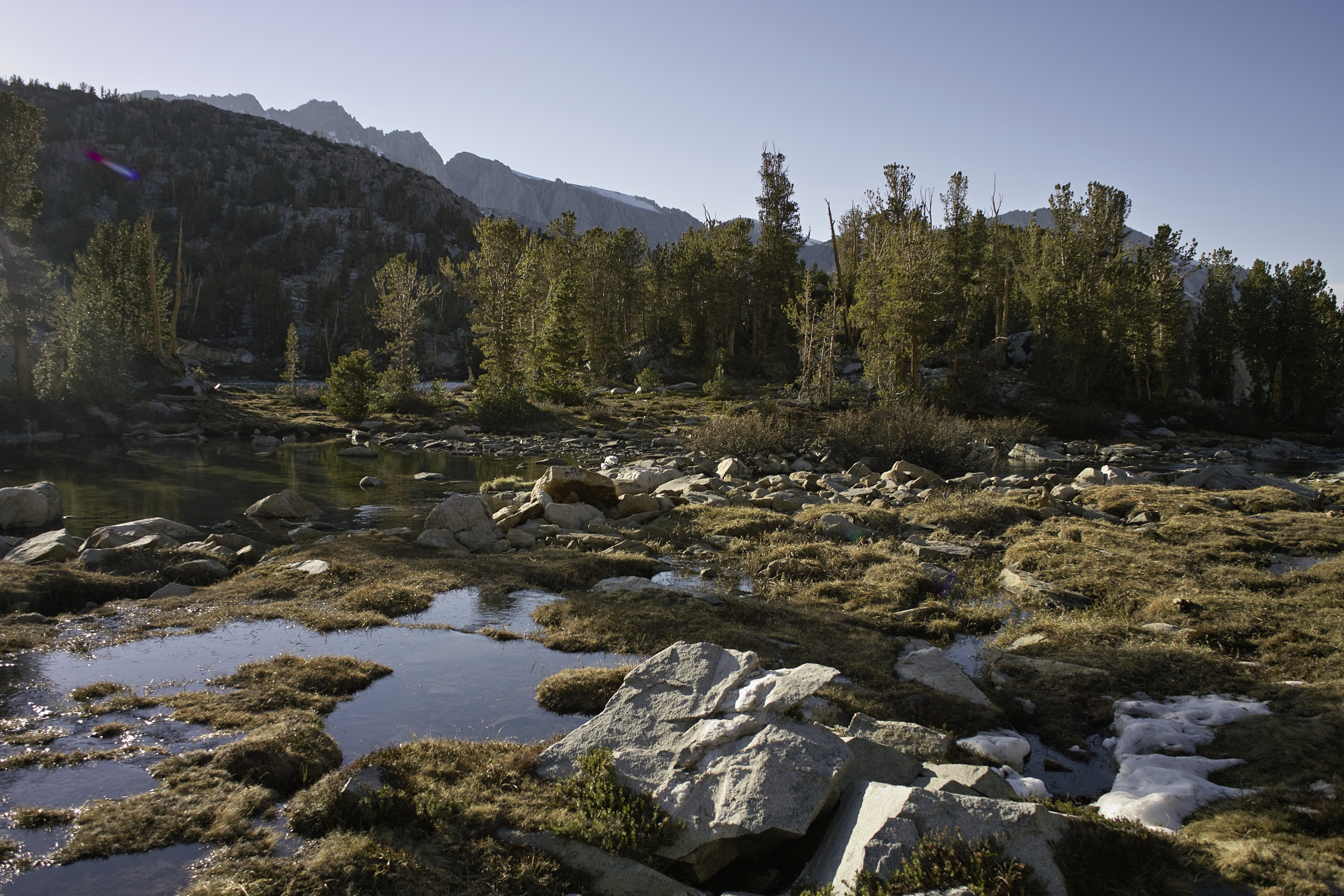
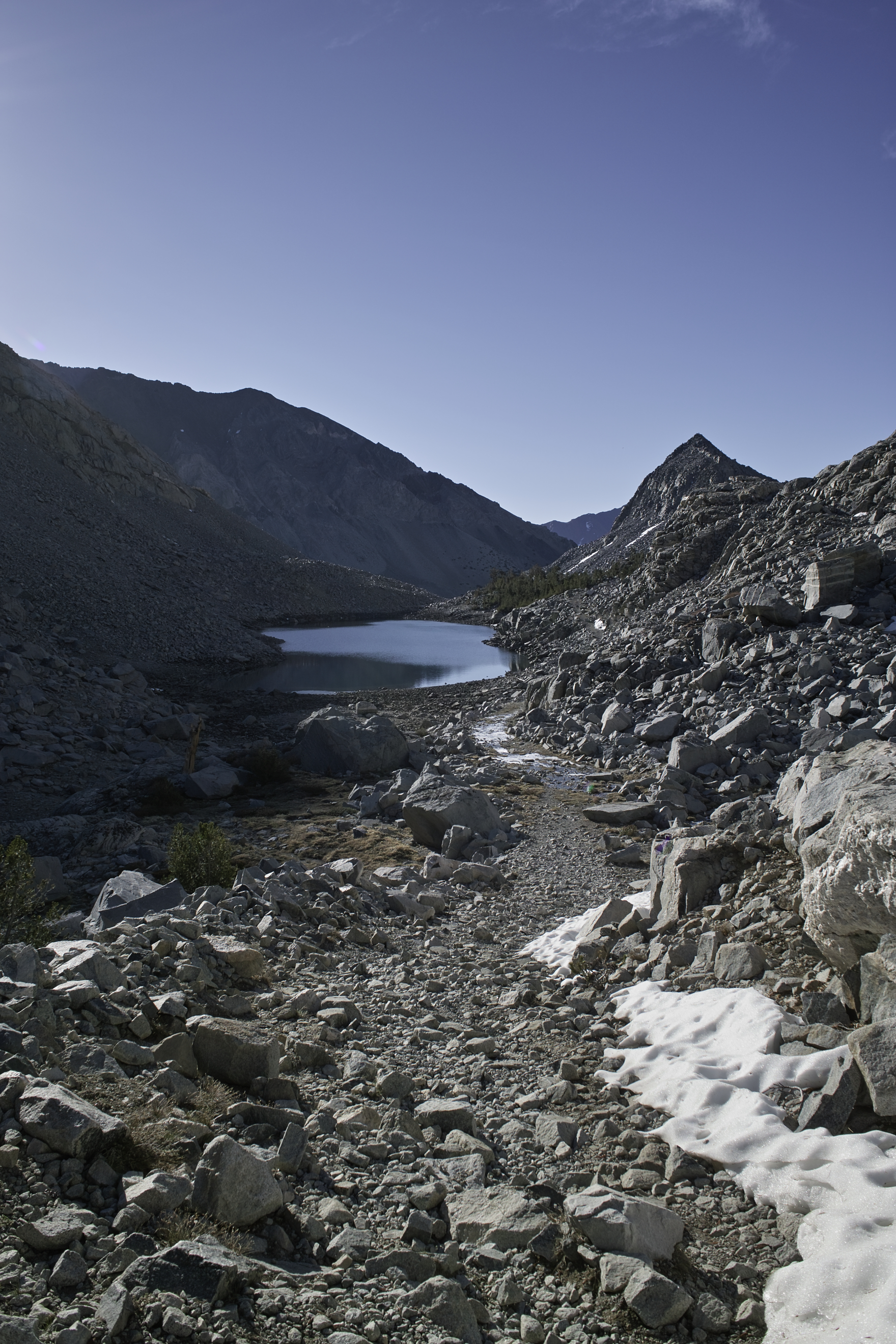
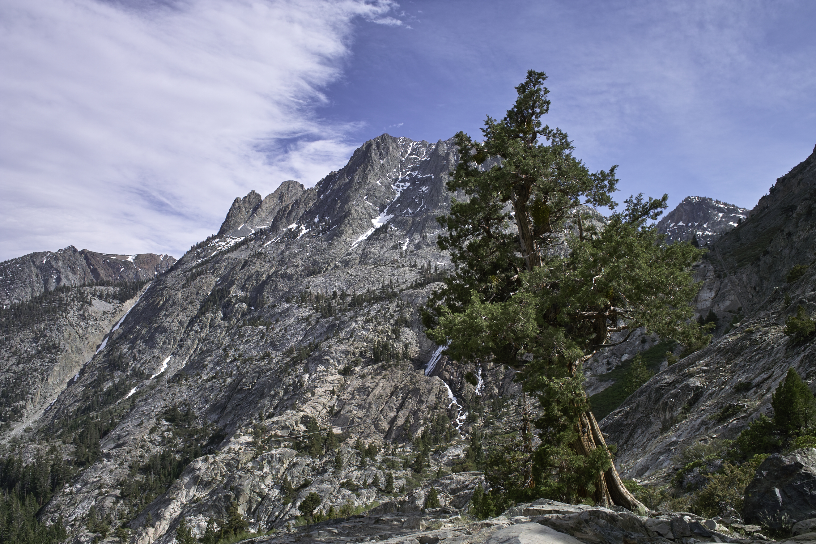
The North Lake trailhead starts at a pack station, and follows the road towards a campground for about a mile, then heads up through the pines towards treeline. The trail follows a narrow basin with lakes and waterfalls all the way up toward the pass. Among the granite, I found the usual noisy Pikas and Marmots, though they were always to dodge my camera.
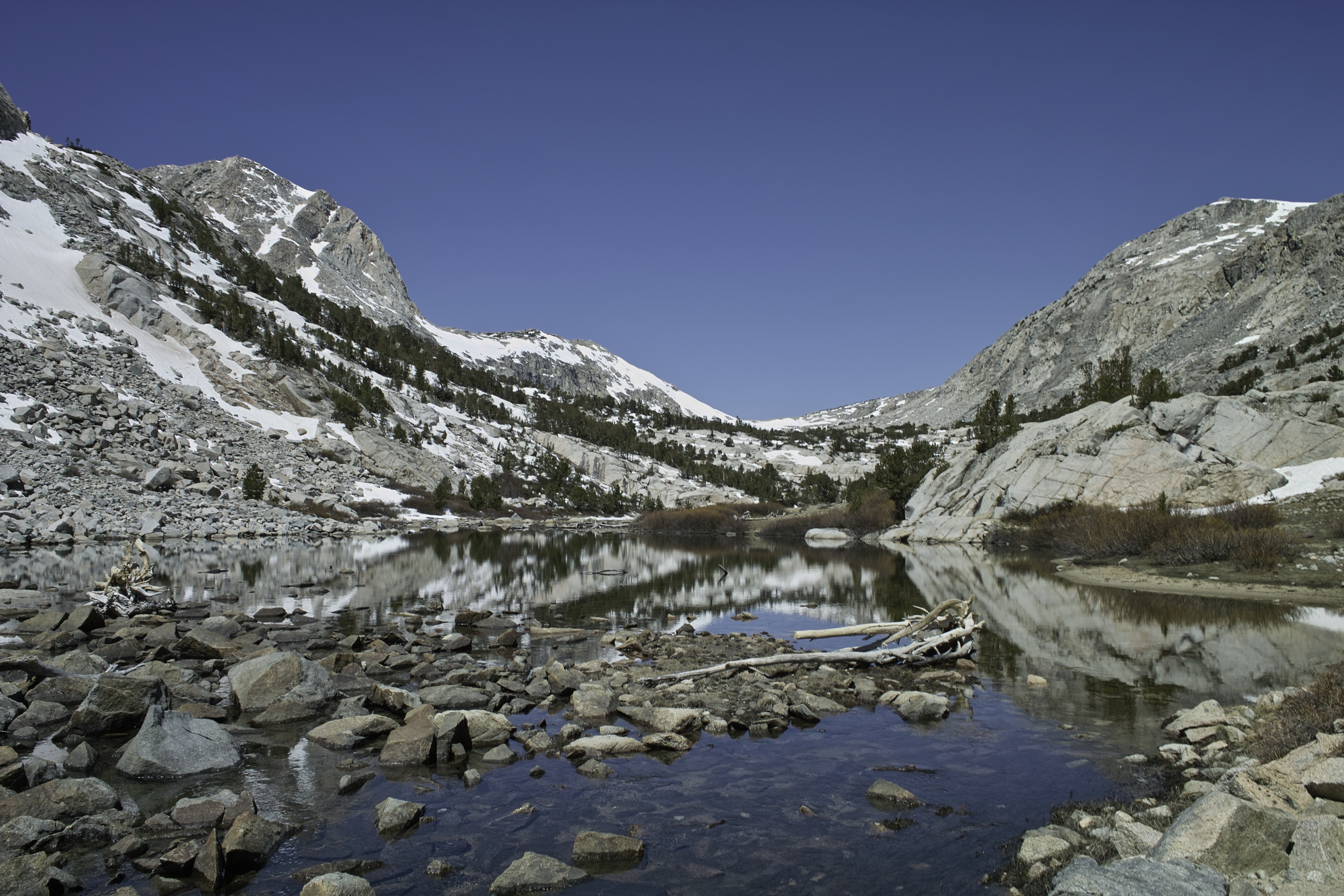
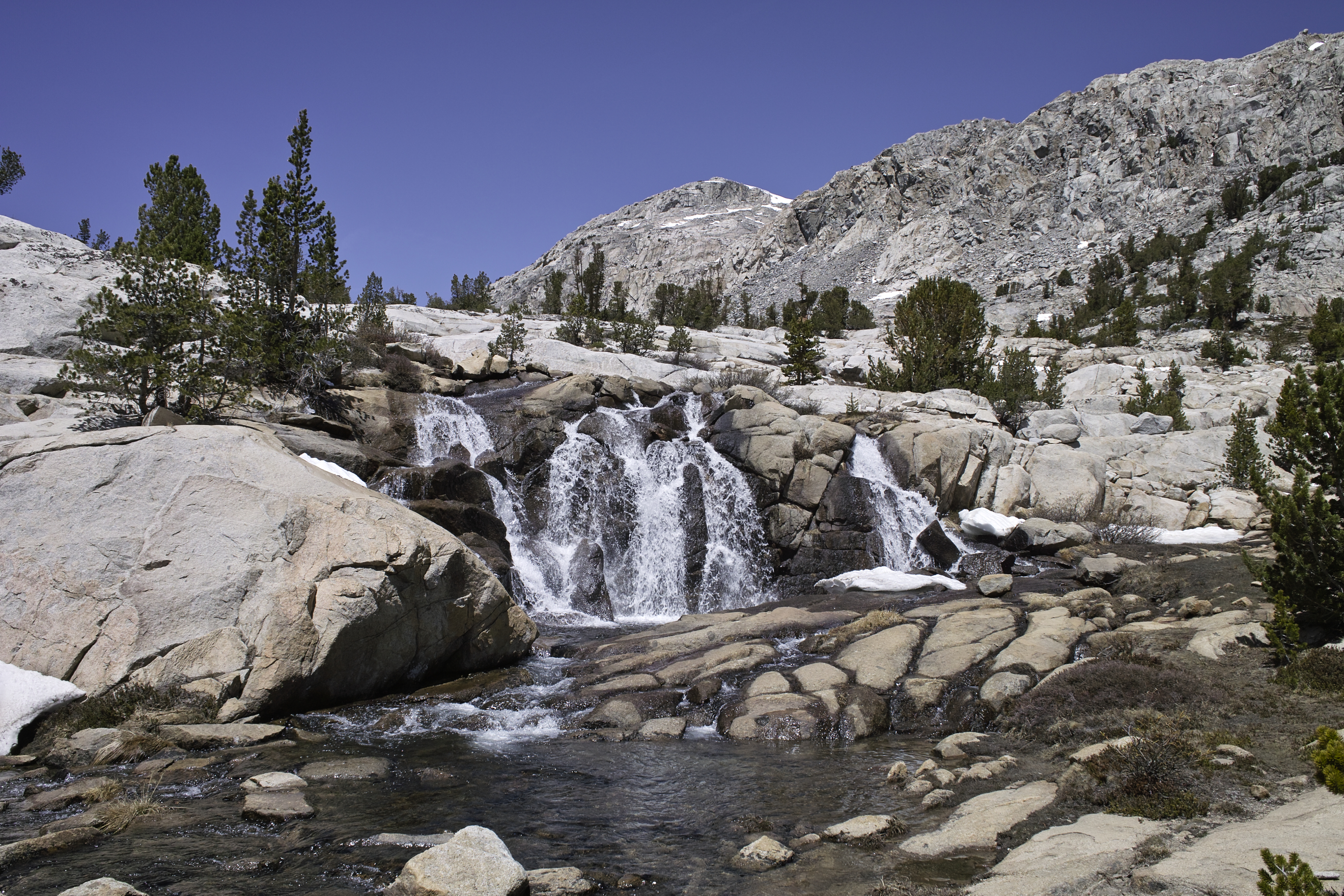
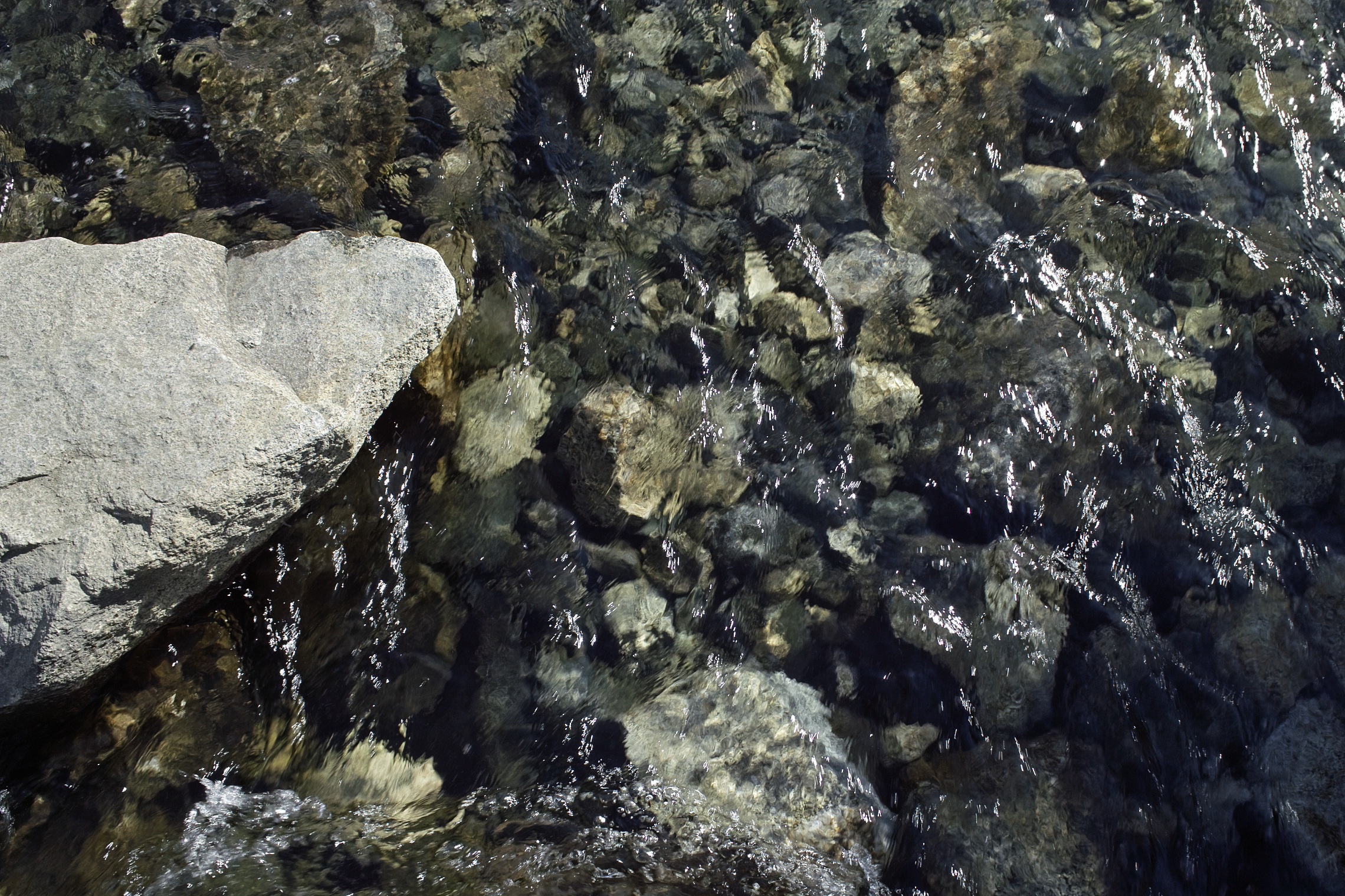
Little waterfalls were abundant up Piute Pass.
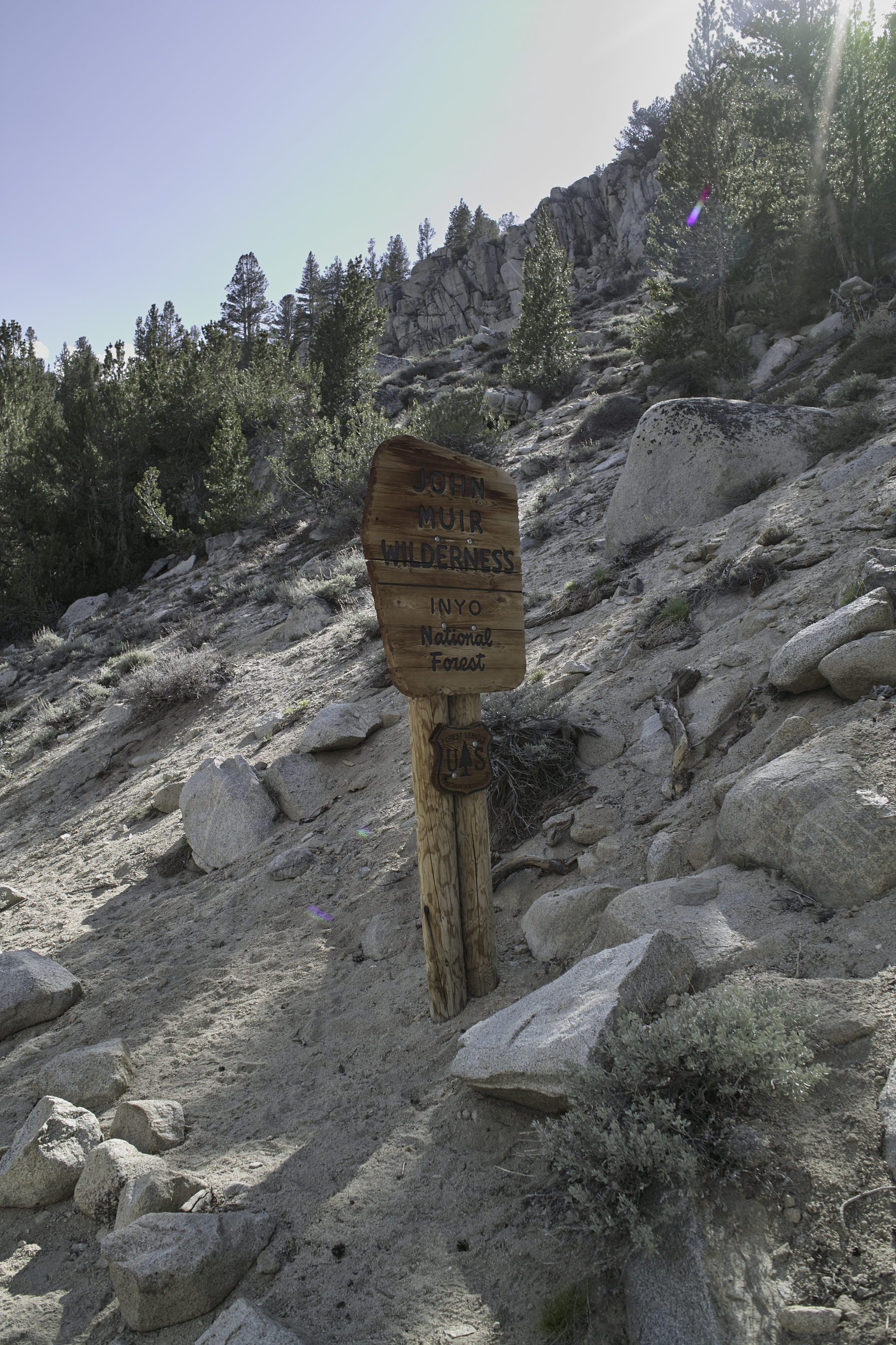
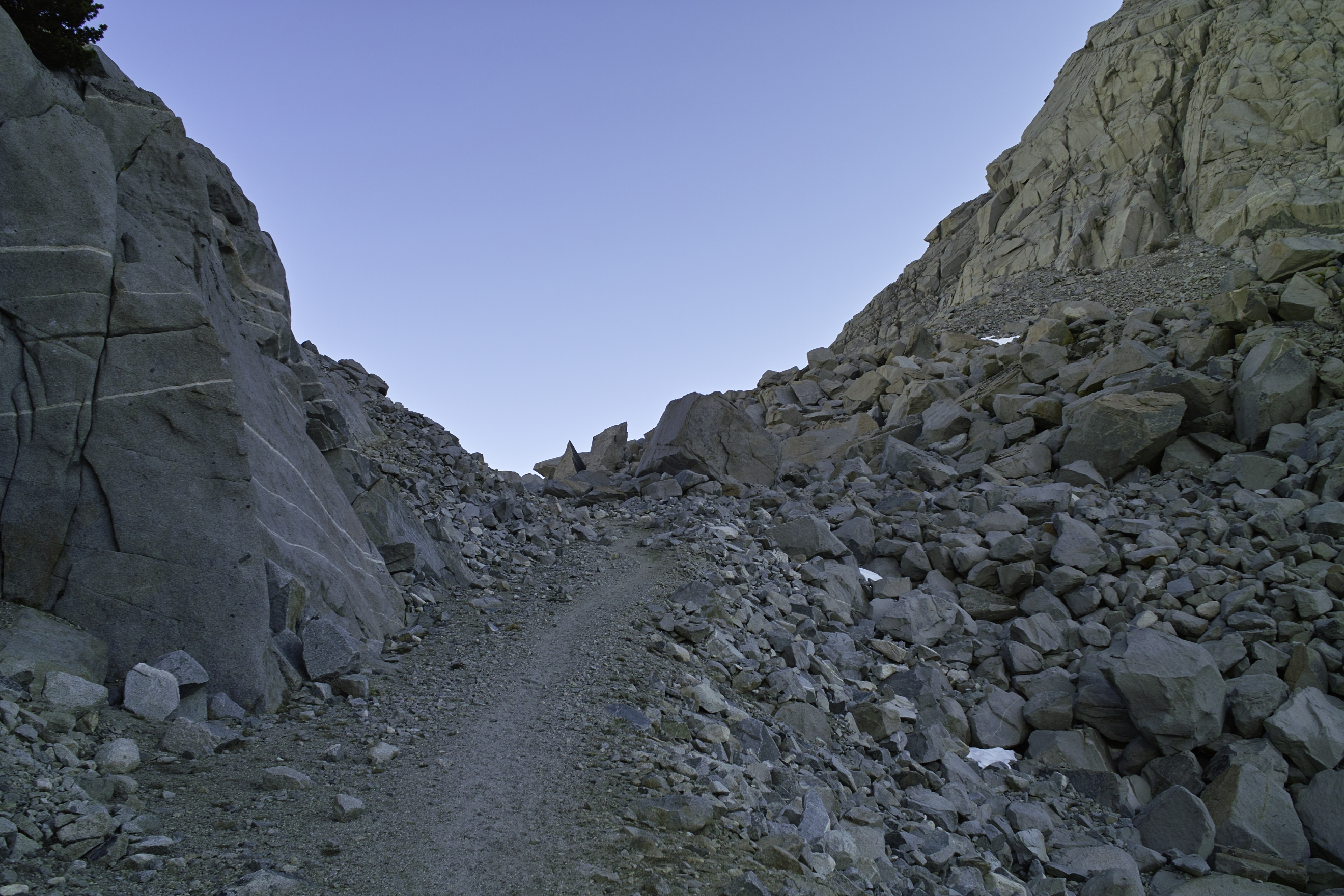
My goal was Piute pass—I would get to the top, assess the situation, and then decide whether to proceed. The snow began around Piute Lake–about 10900'—and continued up to the pass on and off. There was a very easy snowfield leading to the top of the pass, but once I passed a pair of day hikers and some rangers doing trail maintenance, I realized I was the only one out there.
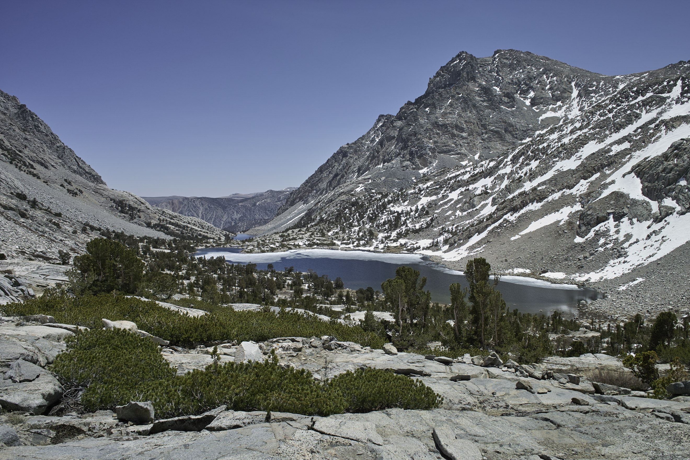
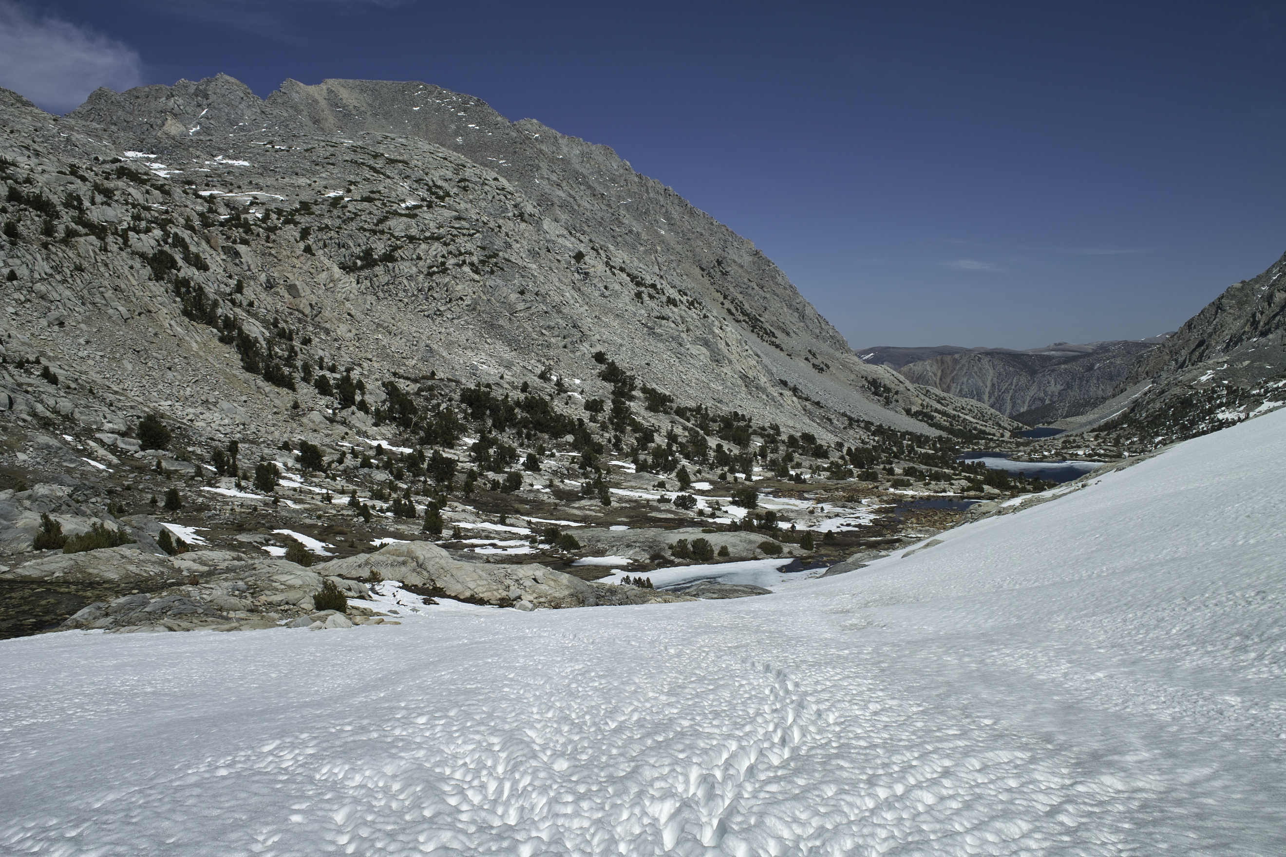
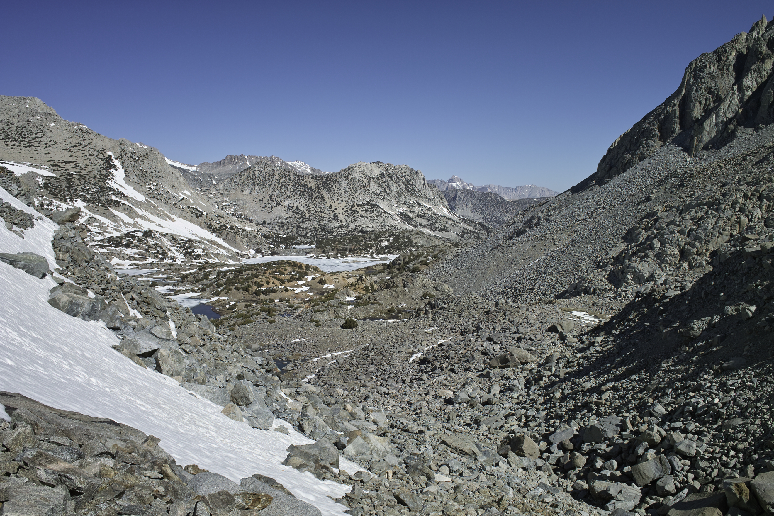
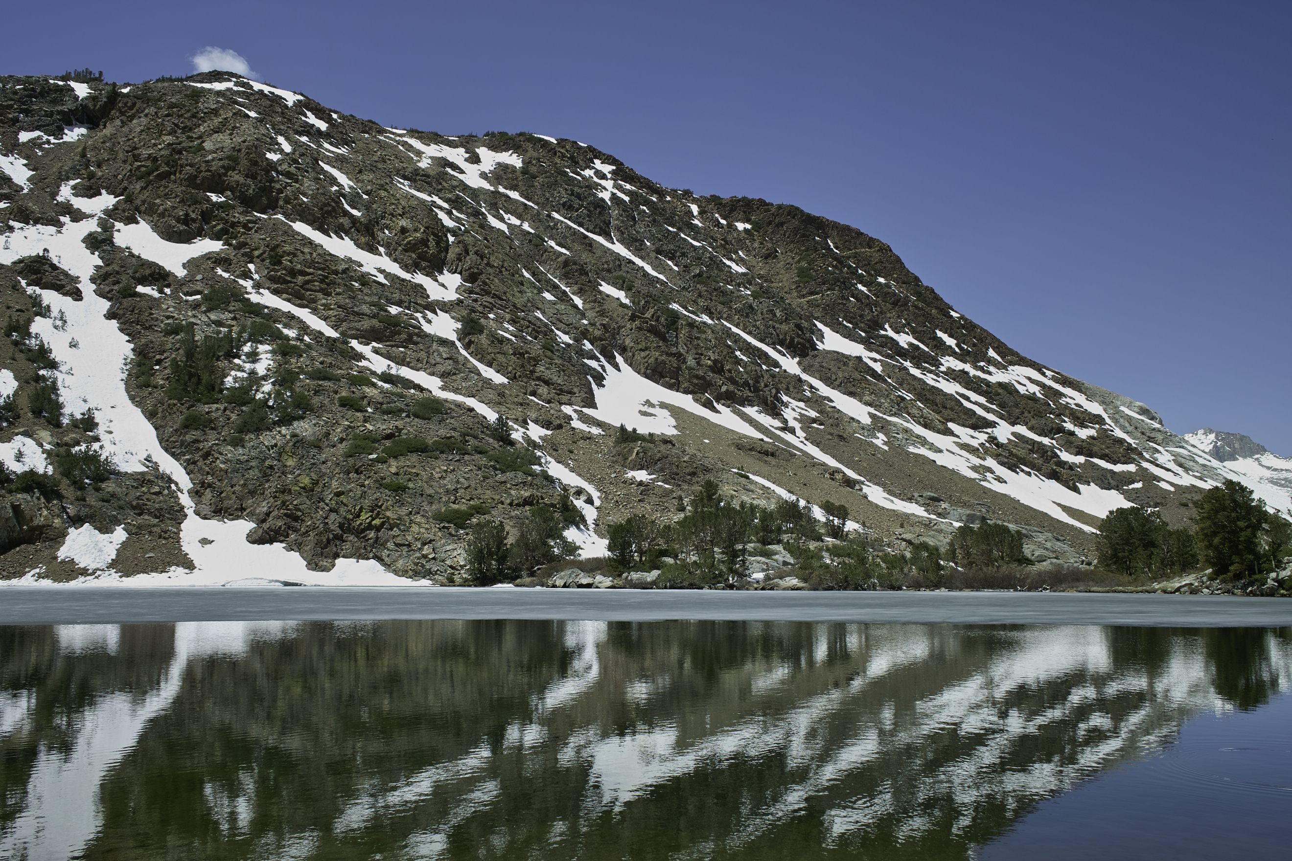
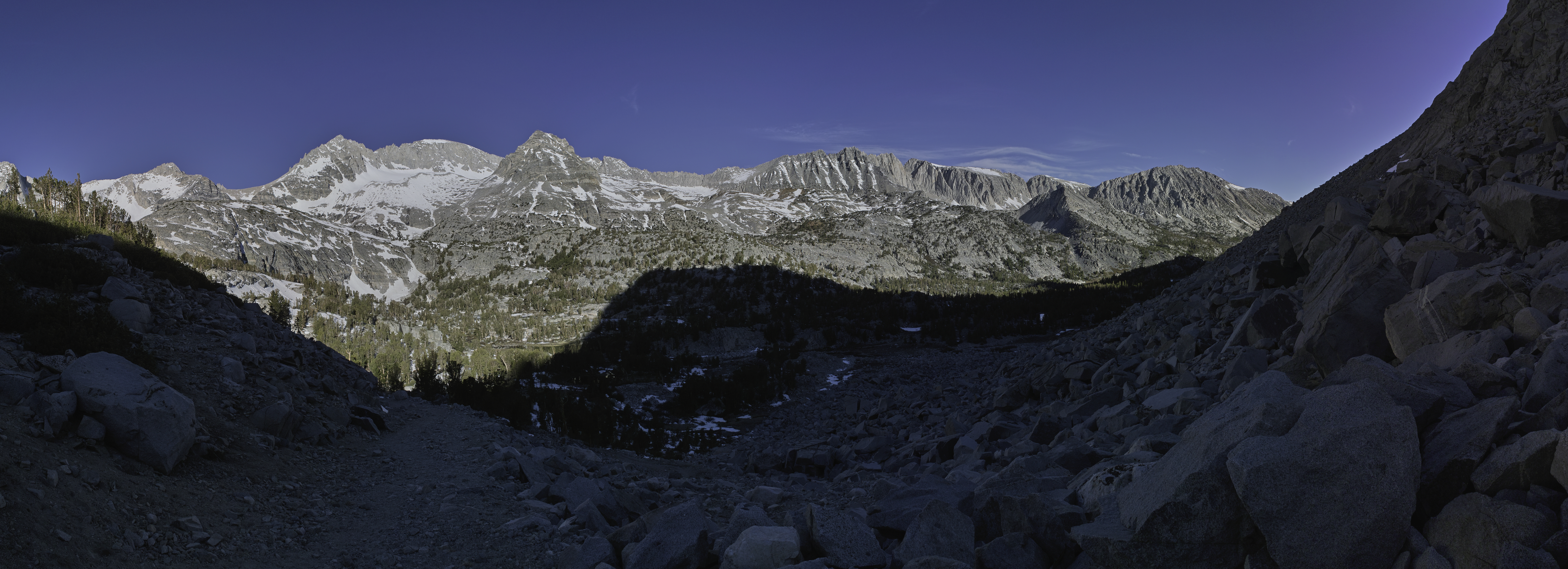
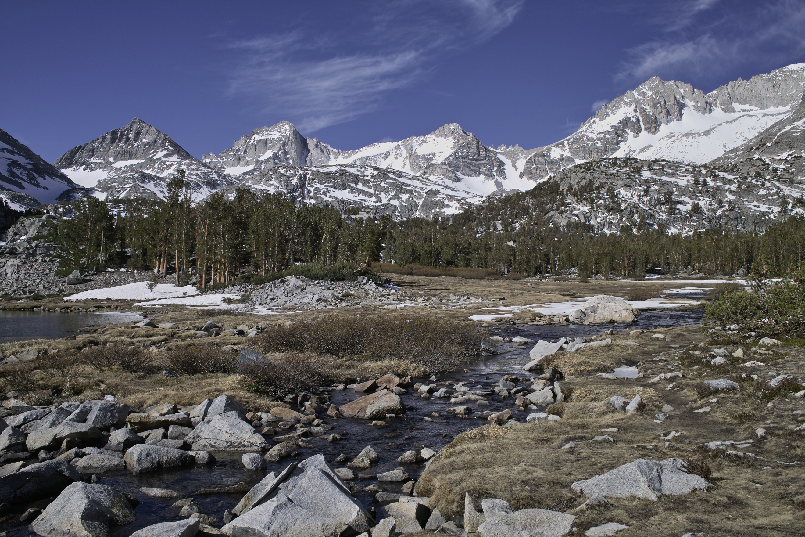
At the crest of the pass, you could see Humphries Basin for miles and miles. This vast expanse of flat granite and snow was something else, especially knowing that I was the only person around for miles. I ventured down past the first lake and thought through my options. Continuing on from here meant that I would have to cover what would certainly be miles of snow over Muir Pass, and that I could potentially not see anyone for dozens of miles—even on the PCT/JMT. Given the snow melt situation, potential for high crossings and snow bridges, I felt that it was not wise to continue forward. The first PCTers were still 1-2 weeks away, and my tracks were the first up this frequently used pass. This was especially difficult, given that you could see down into Piute Canyon, and it was basically snow free, but I let common sense prevail.
Humphries Basin. It was amazing to look over miles and miles of rock knowing no one (and likely few critters) was out there.
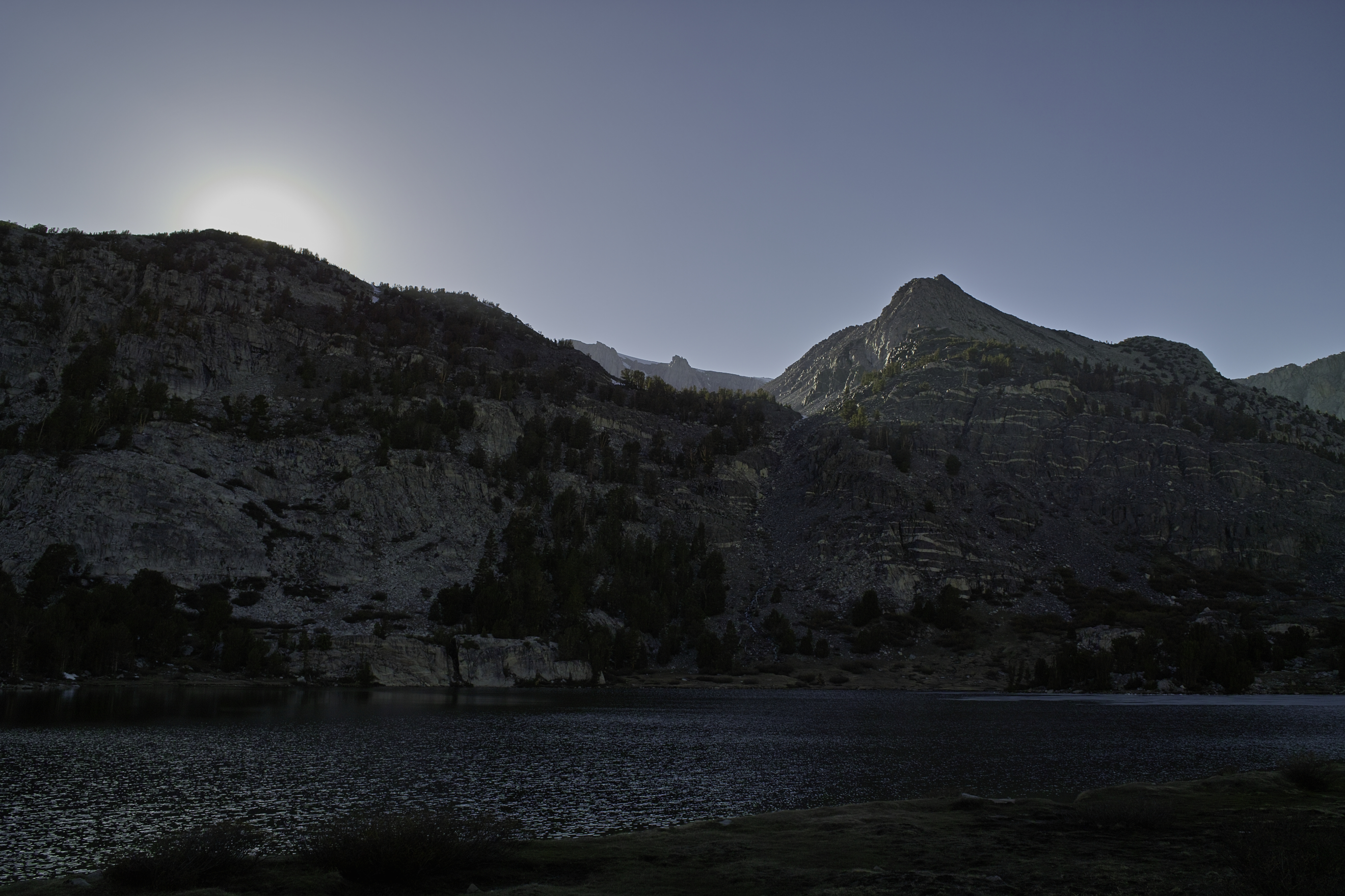
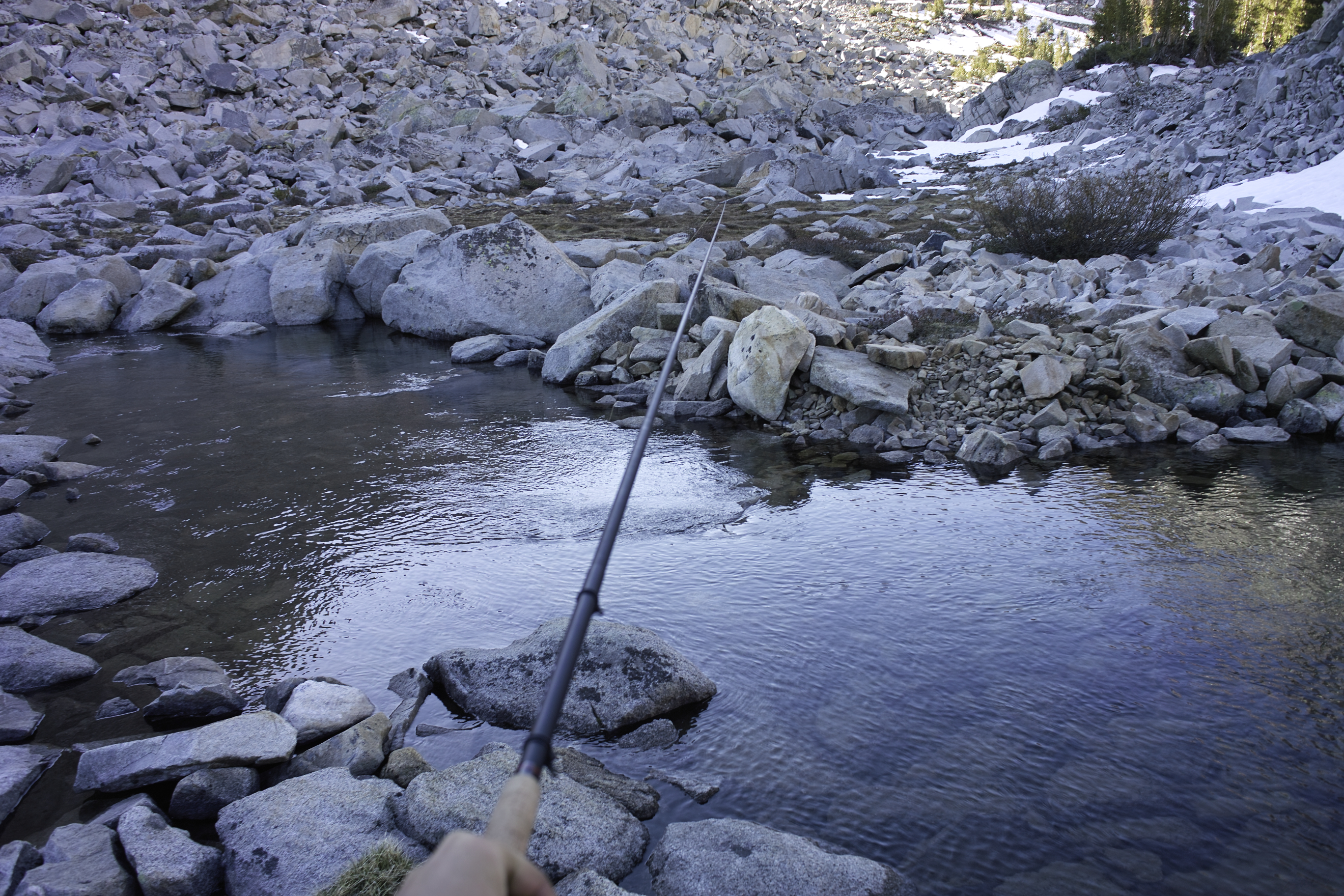
I decided to head back down the pass, to take it easy, and make the trip a series of overnighters—exploring some of the unique areas on the eastern side of the Crest and do some more fishing. I brought a Tenkara rod for the first time, and the fishing was fantastic. I caught several trout in the first day. After passing Piute Lake I camped down at Loch Laven for the night.
Day 2 - 7 miles, 2000 ft
I headed down from the basin and back down to the ranger station in Bishop to pick up permits for the next two nights. After a sunscreen refill at the Bishop K-Mart, I would head up toward Bishop pass, the other side of my originally planned trip.
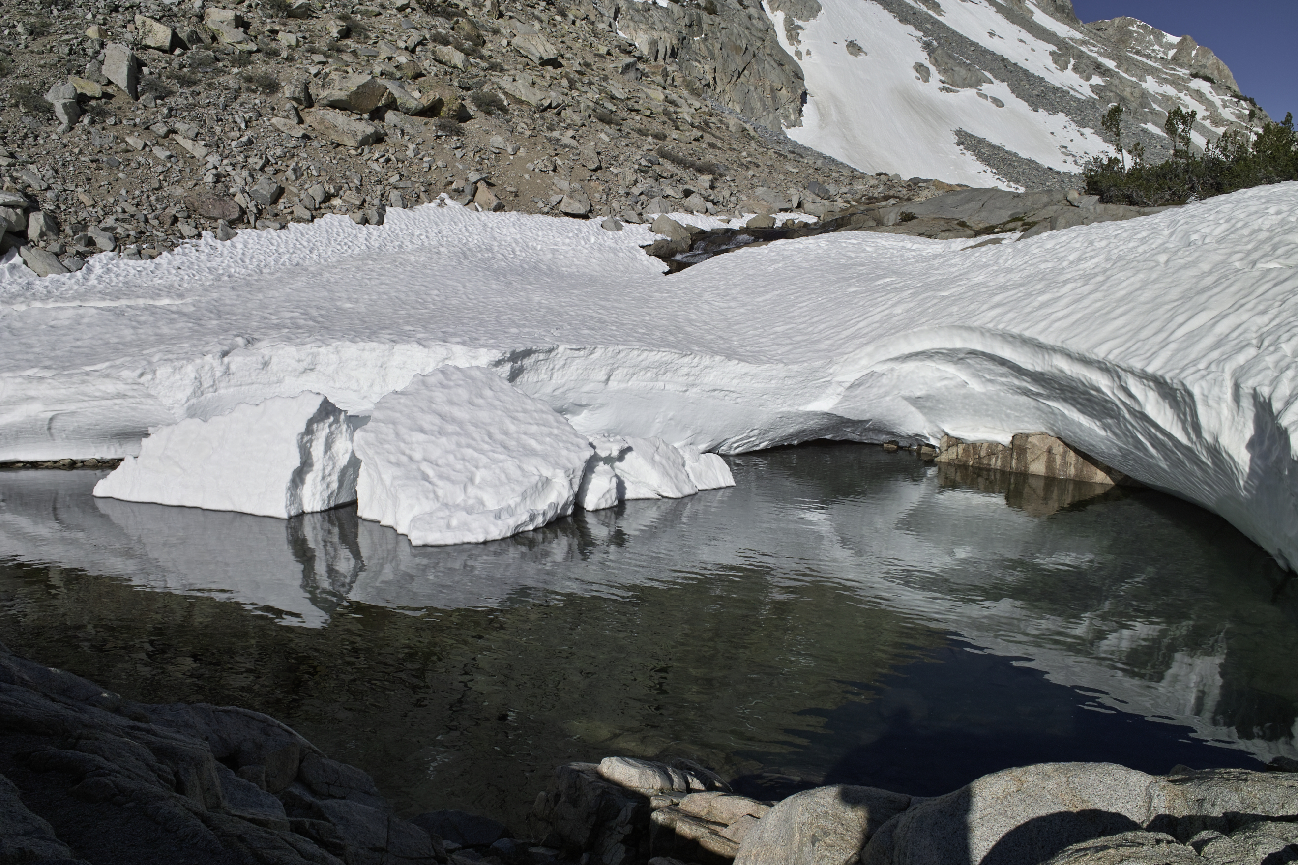
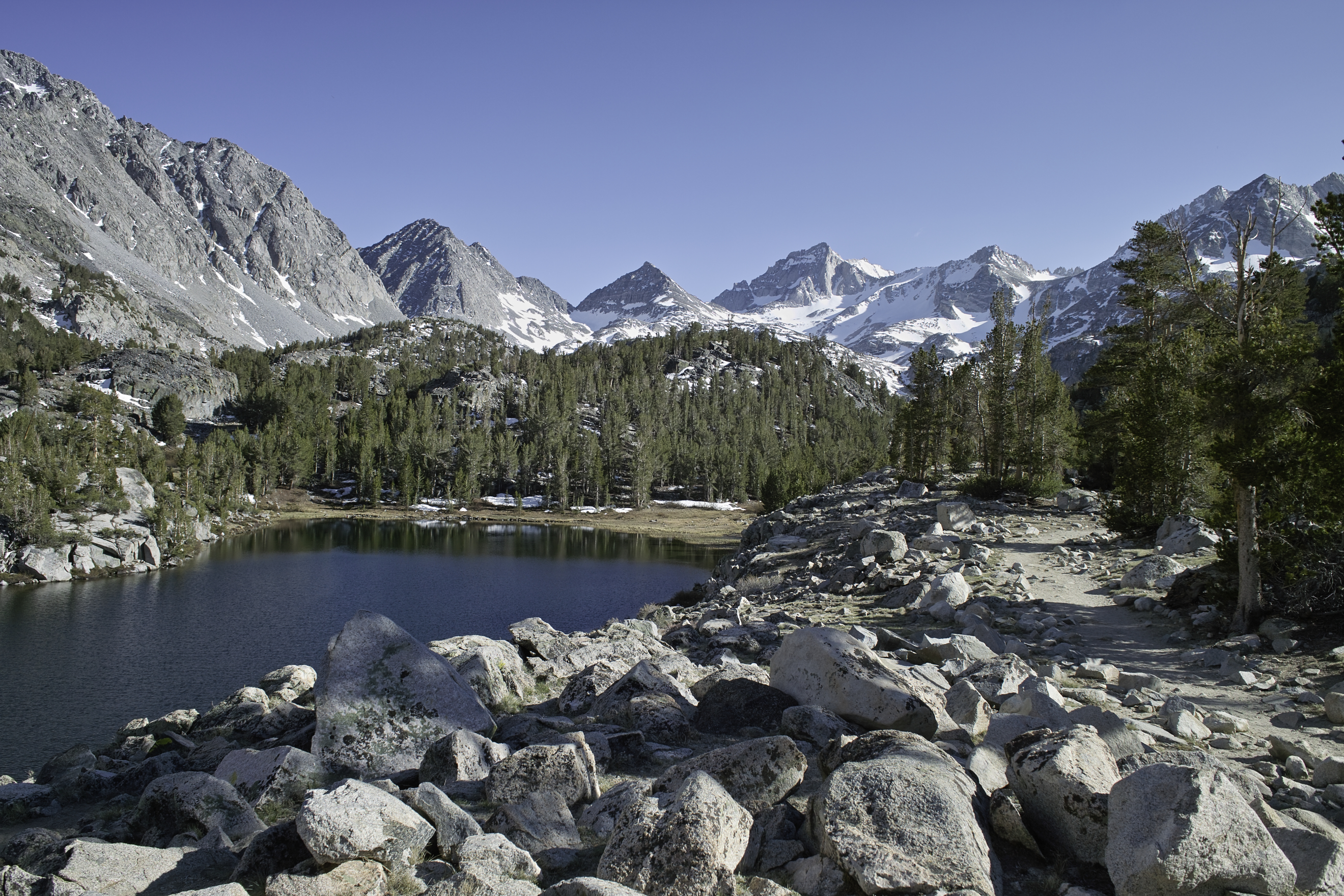
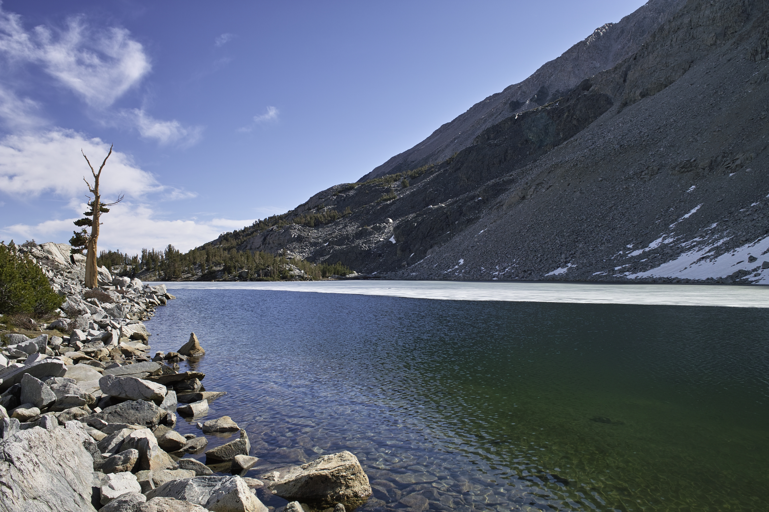
The trail to Bishop Pass held similar snow. I caught more rainbows in the ponds below Long Lake, made my way toward Saddlerock Lake, but got stopped by late-afternoon snow that was so melty that further travel would involve precarious postholing over talus. Deciding this was another good place to stop, I set up camp by the lake and did some more fishing for the night.
Day 3 - 12 miles, 2750 ft
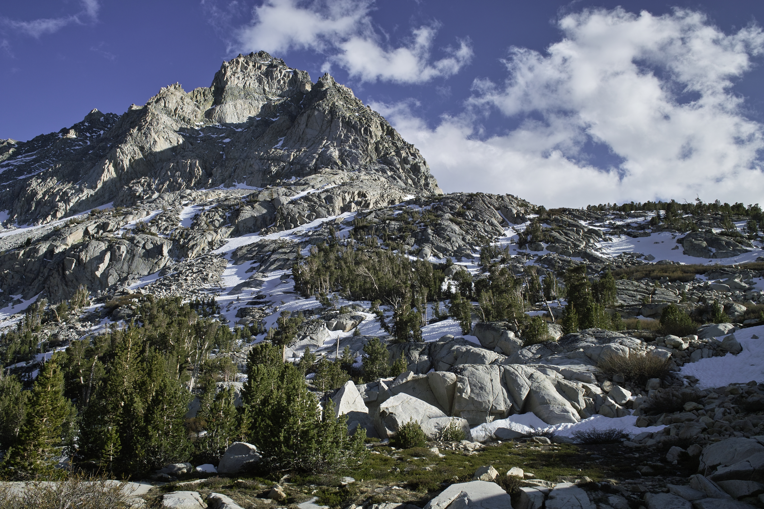
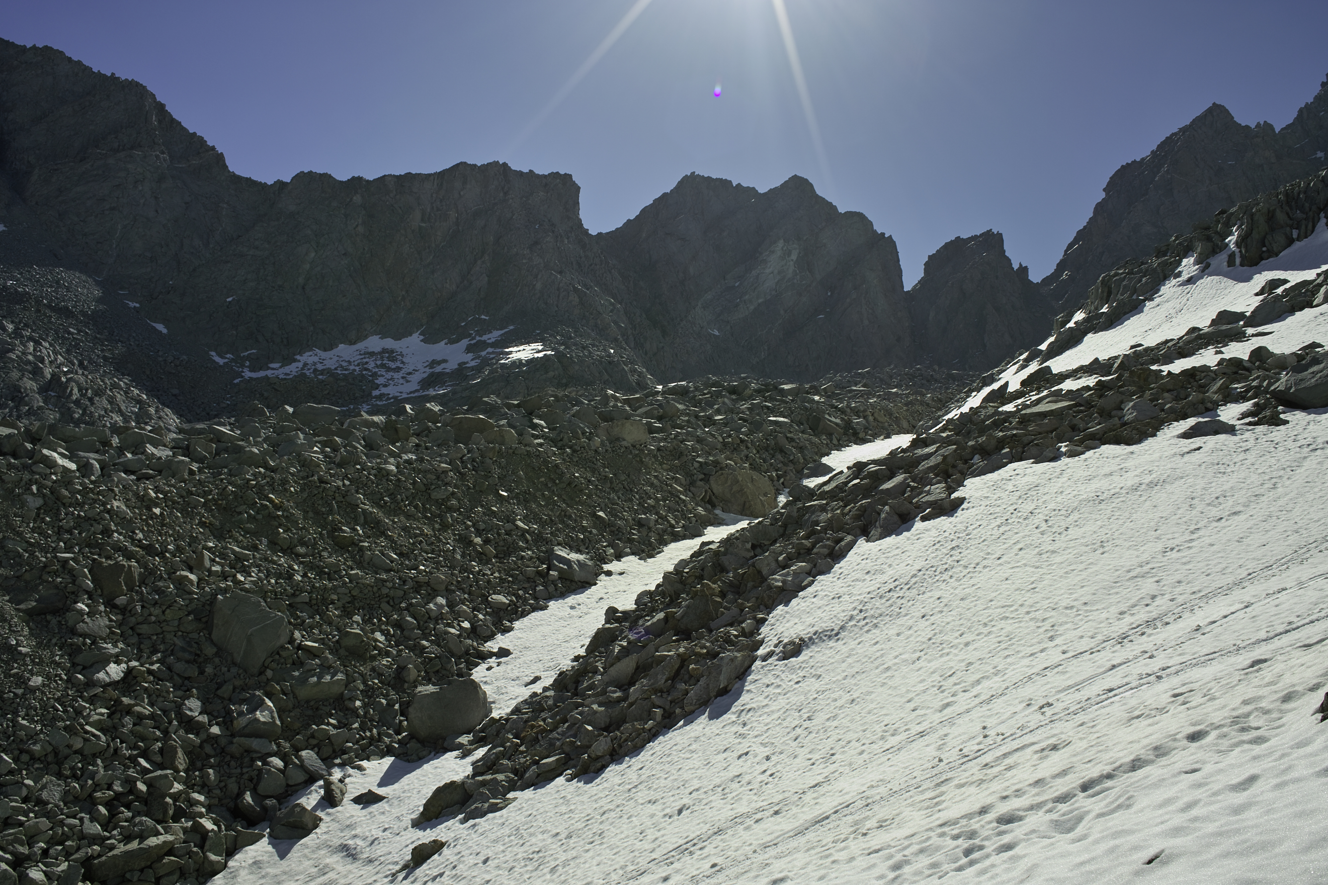
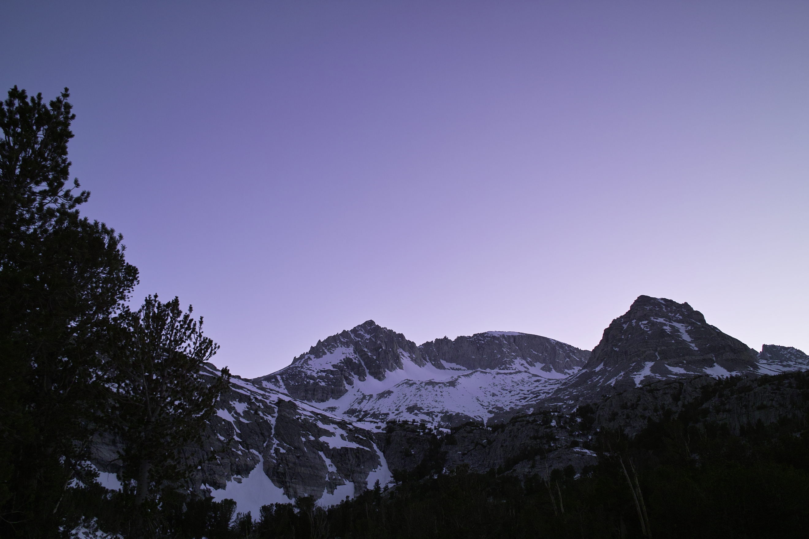
It was time to see what Bishop pass held. I woke up early when the snow was still crusty, and headed up toward the small basin below Bishop Pass. The area was again mostly snow free, but the pass was holding a large snowfield at a steep angle. While most of the snow was crusty, the sun had gotten to the pass early in the day, and I was already making iffy postholes in the Talus Field. The allure of making it into Dusy Basin was tempting, but the angle of the snowfield, my lack of ice axe, and the post holing made me admire the view from just below the top.
From Bishop Pass.
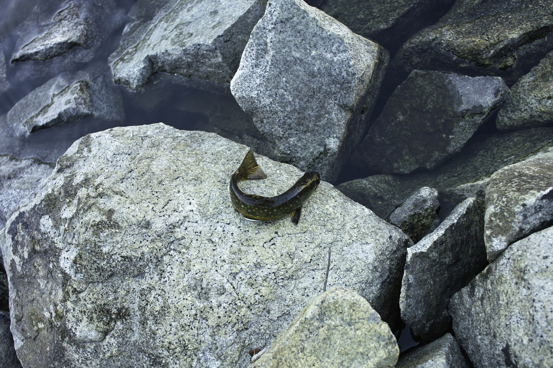
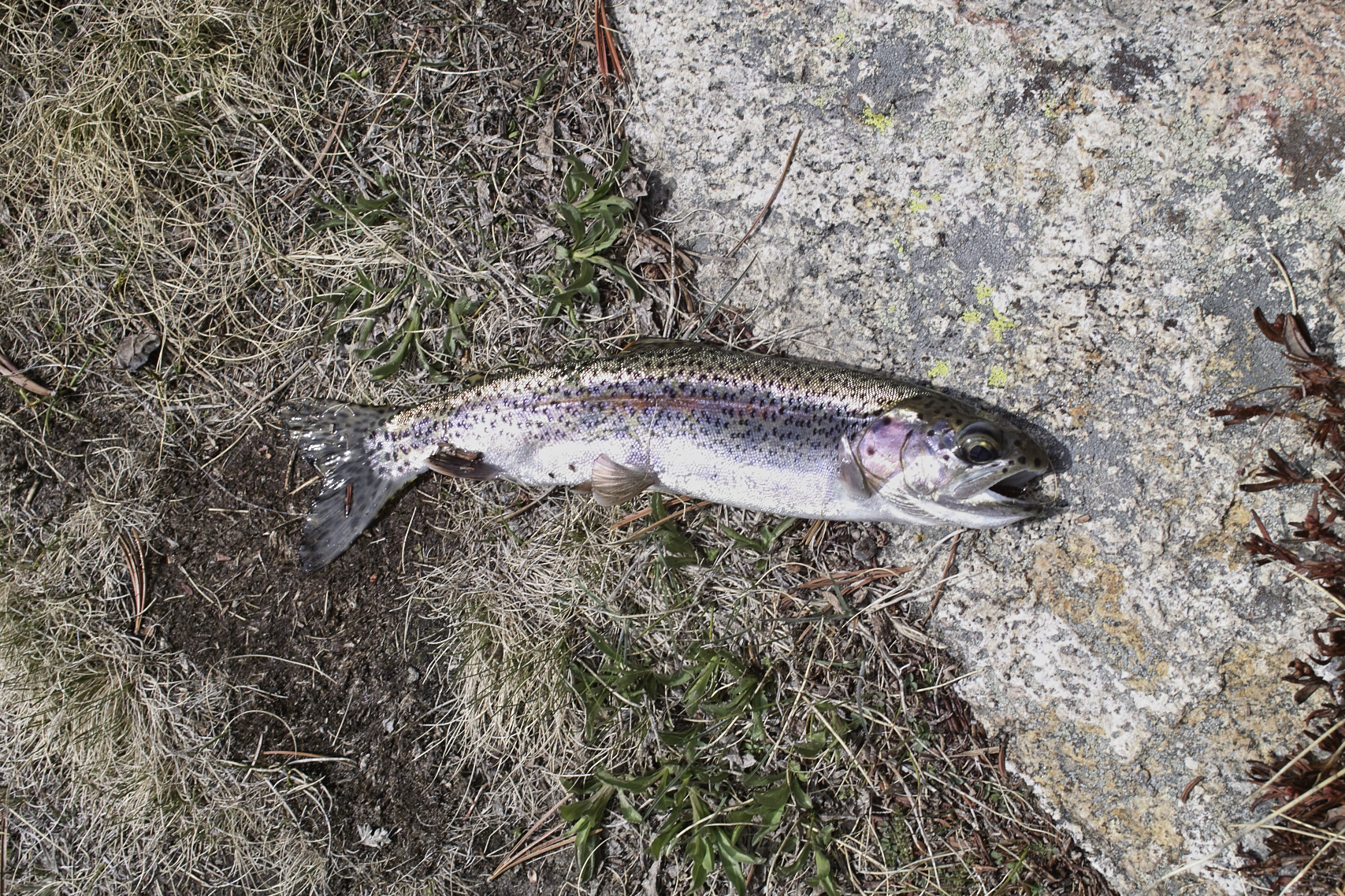
I descended past Ruwau lake via a lesser used trail which became extremely difficult route finding when I ran into snowfields above Chocolate Lakes. Again, it seemed that my tracks were the first in the area. Once I figured out how to get down the steep sides above Upper Chocolate Lake, the hiking became a bit easier, but still a little brushy. Lots of scrambling fun. Middle Chocolate Lake held my best catch—dozens of rainbows over the course of about two hours. Most of the fish in this area were about 8", with a few 10-inchers, here and there. By far, my most productive flies were a Brown Hackle Peacock (which looked a lot like the flies that were around the lake), and a copper wired Sekasa Kebari when it got dark out. Someone had recommended caddis flies for the area, but the fish did not like them. It's amazing to follow these lakes and see hundreds of fish just hanging out on the banks—at times there's almost no challenge to it.
At Middle Chocolate Lake. My guess is they call them the Chocolate Lakes because of the dark brown rock.
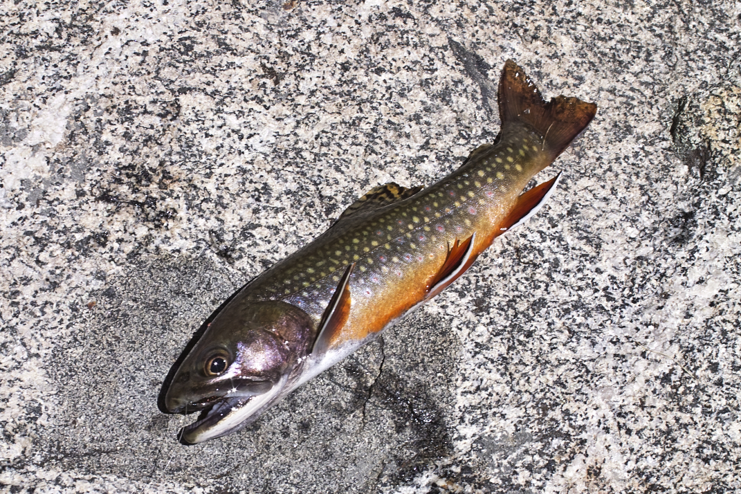
Fish ID?
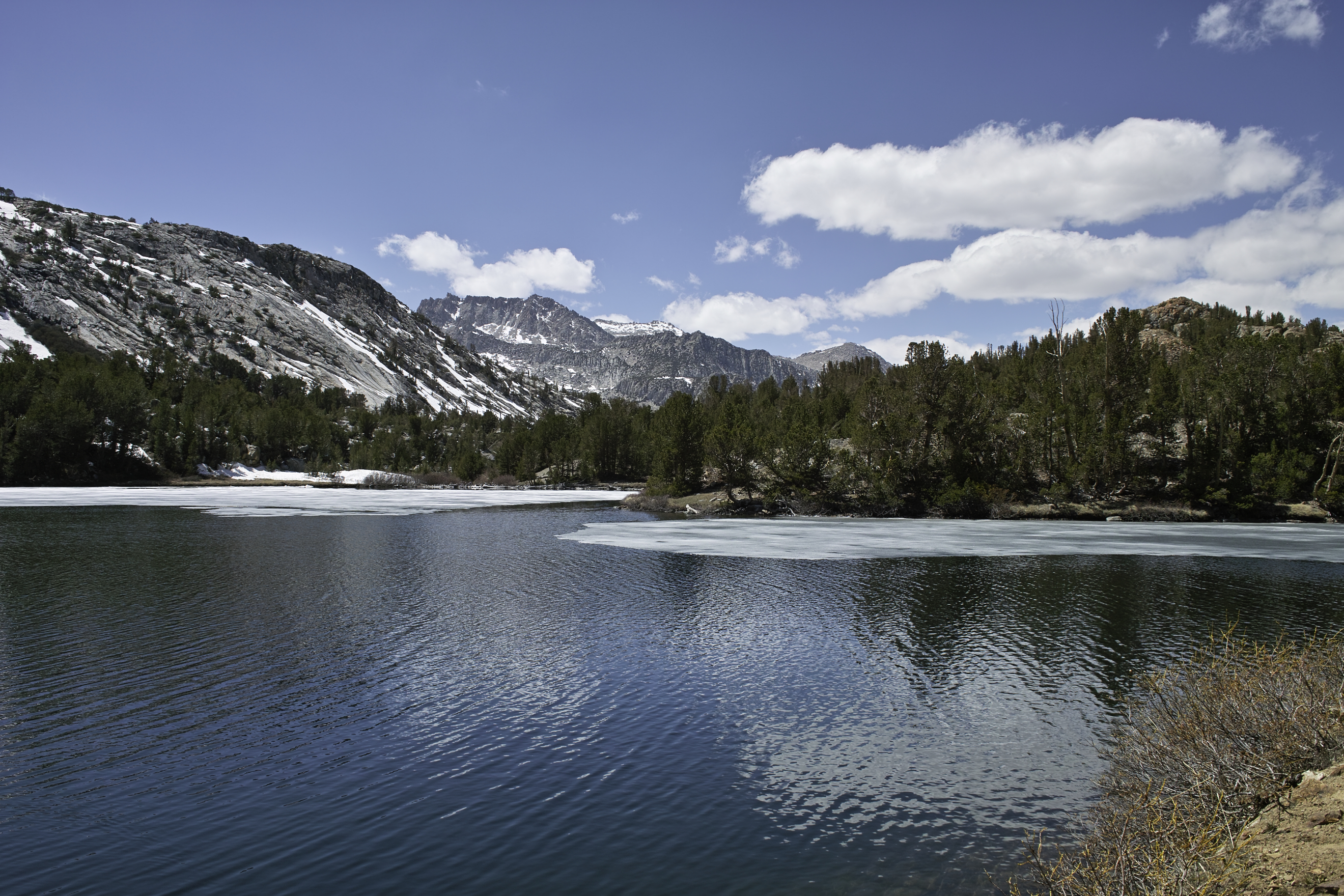
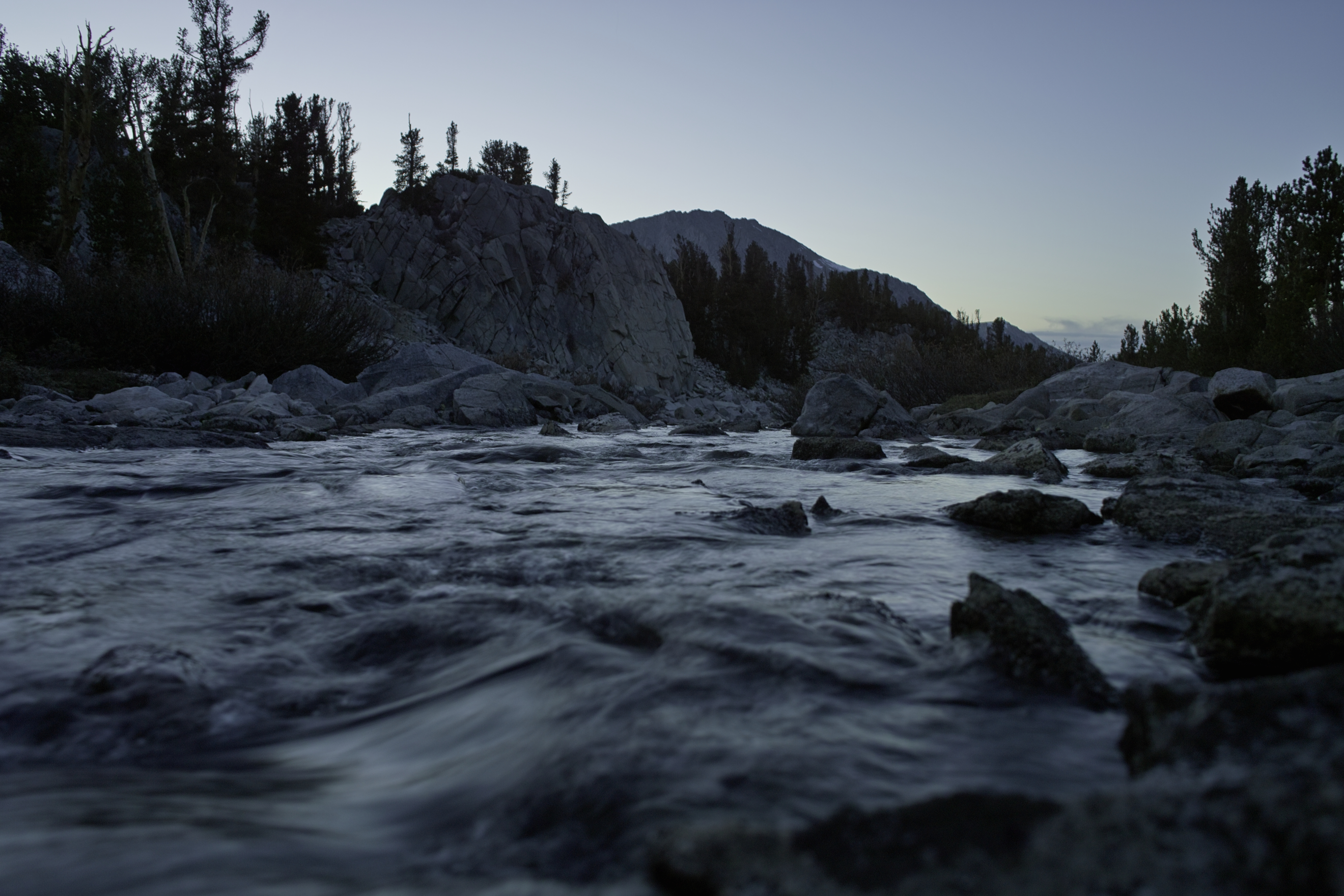
After making it back to the trailhead, I drove past the leafing Aspens and headed north to the Basin above Rock Creek. This area came on the recommendation of the ranger down in Bishop for an area that was a worthwhile overnight trip. While a little crowded during the day, again, I was the only one out there for the night. Given that this was the third weekend in May, I was amazed at how no one else was backpacking in these areas. The trail follows Rock Creek into a beautiful snow-covered Cirque, with lakes all along the way.
Long Lake was extremely productive, with my Brown Hackled Peacock bringing in several rainbows and a few browns (or brookies?). As it approached dark, I made it up towards Gem Lakes and found a nice place to camp off a small creek.
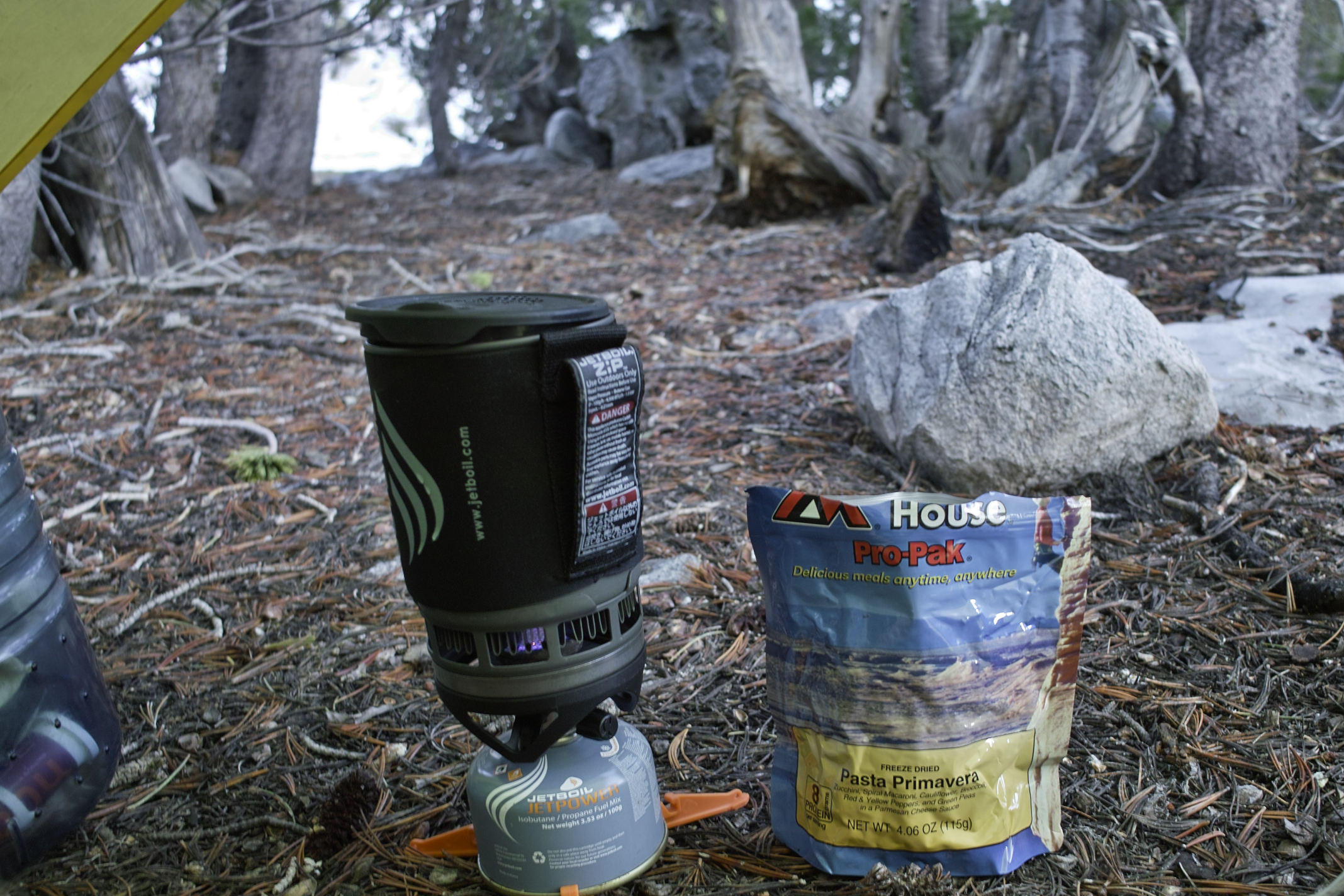
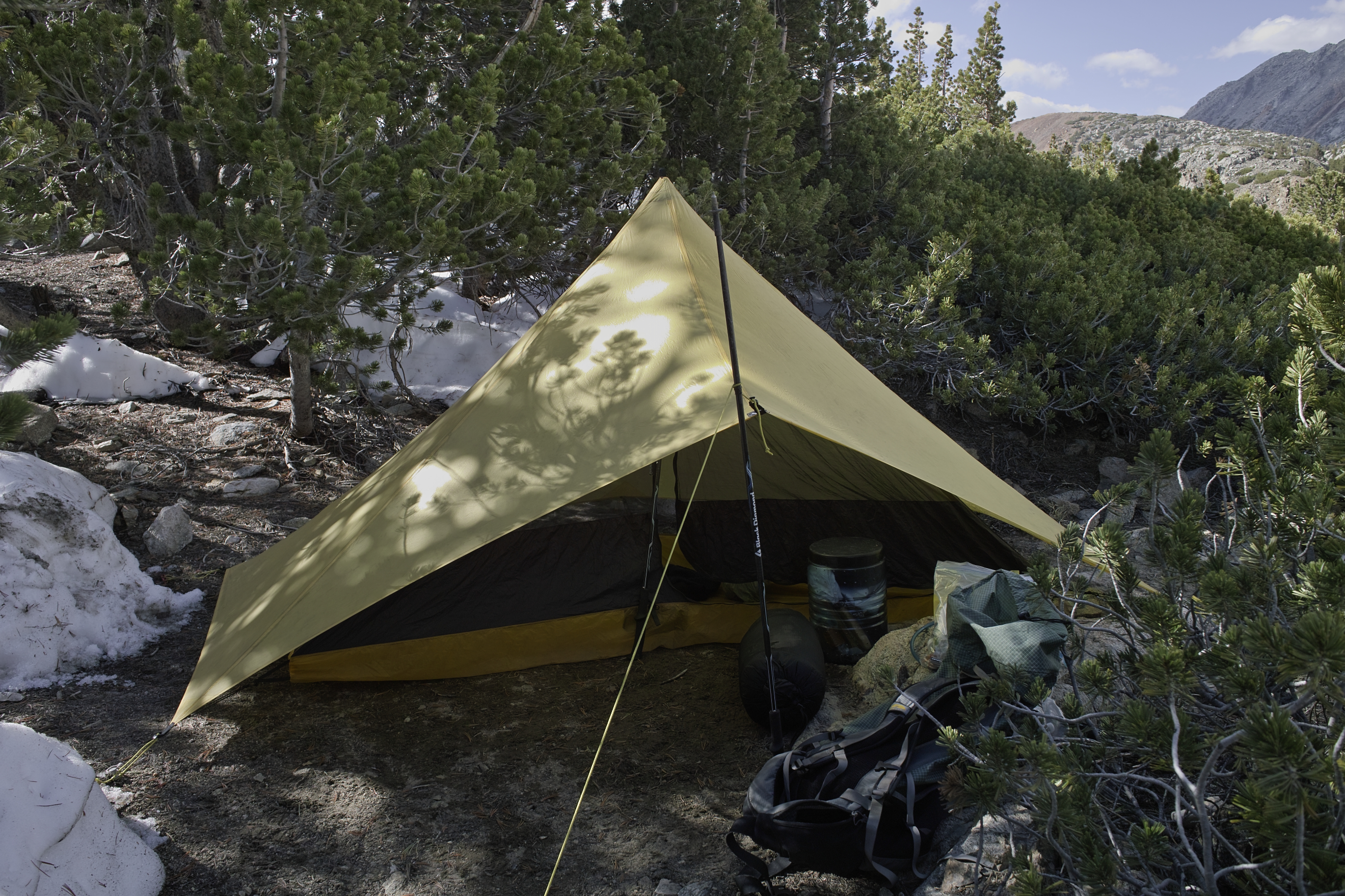
The cooking was pretty basic on this trip.
Day 4 - 13 miles, 3000 ft
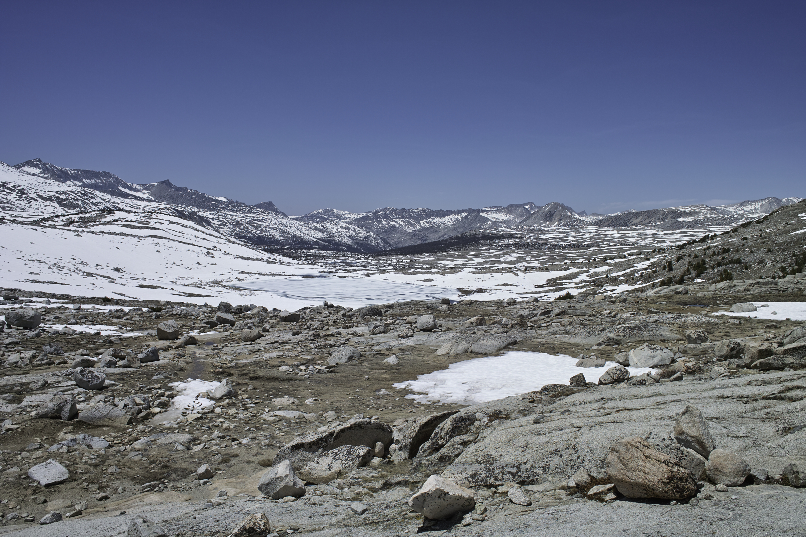
I made the short trek up Morgan Pass, went down to upper Morgan Lake, and returned back via a trail which appeared to be a converted tungsten mine road. I contemplated going over Mono Pass to explore that area, but the pass wasn't visible behind a small mountain, and it would have been a long hike up with a high potential of more impassible snowfields, so I decided to find something else.
From Morgan Pass.
It was super windy, and pretty cloudy, so the fishing was less productive. I got my first few little trout out of Rock Creek (more challenging and fun than lake fishing), but the fish weren't biting in the lakes. I gave it my best shot at Box and Heart Lakes but there were few fish that were interested. I can only figure this was due to clouds, water temperature or the wind ripples in the water. Not wanting to leave without catching more than a few fish that day, I did a little fishing at the trailhead and caught a few more trout. Very addictive.
Just chillin'.
Fish ID?
I drove the car north toward Mammoth and stopped by the Mammoth ranger station for a permit. Agnew Meadows has seen really bad blow down this year, so the only entry point into Ansel Adams Wilderness was via Gem Lakes. I drove north into June Lakes Loop and started up the trail above Silver Lake. I had been to Gem Lake before, but the lake is really not the most spectacular place, and upon viewing the very low snow levels at Agnew Lake, I decided to head back down and make the most of it by heading toward Yosemite.
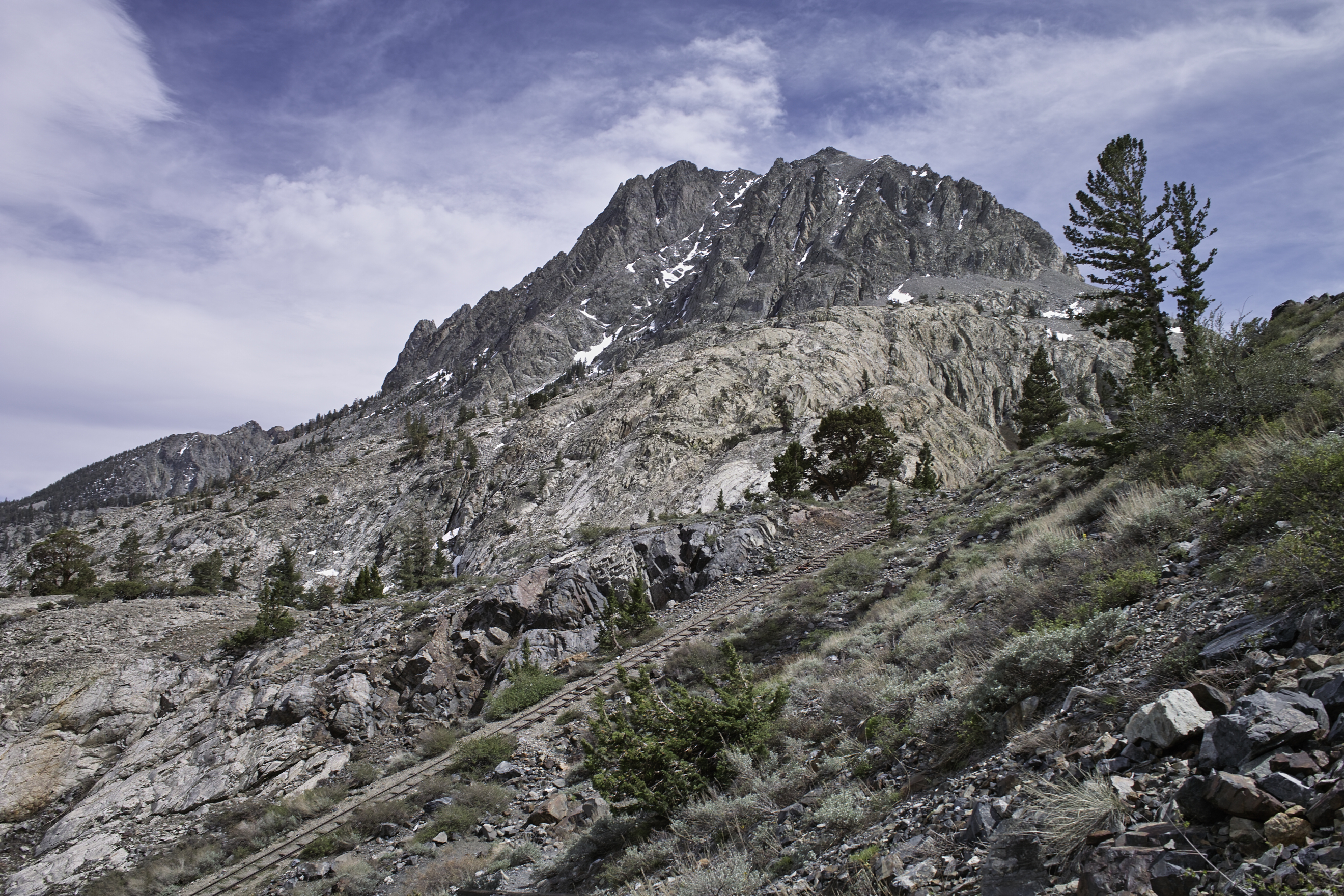
Note the tracks that lead to the top. Looks like a mining car went up and down here, aided by a pulley. Probably a fun ride down.
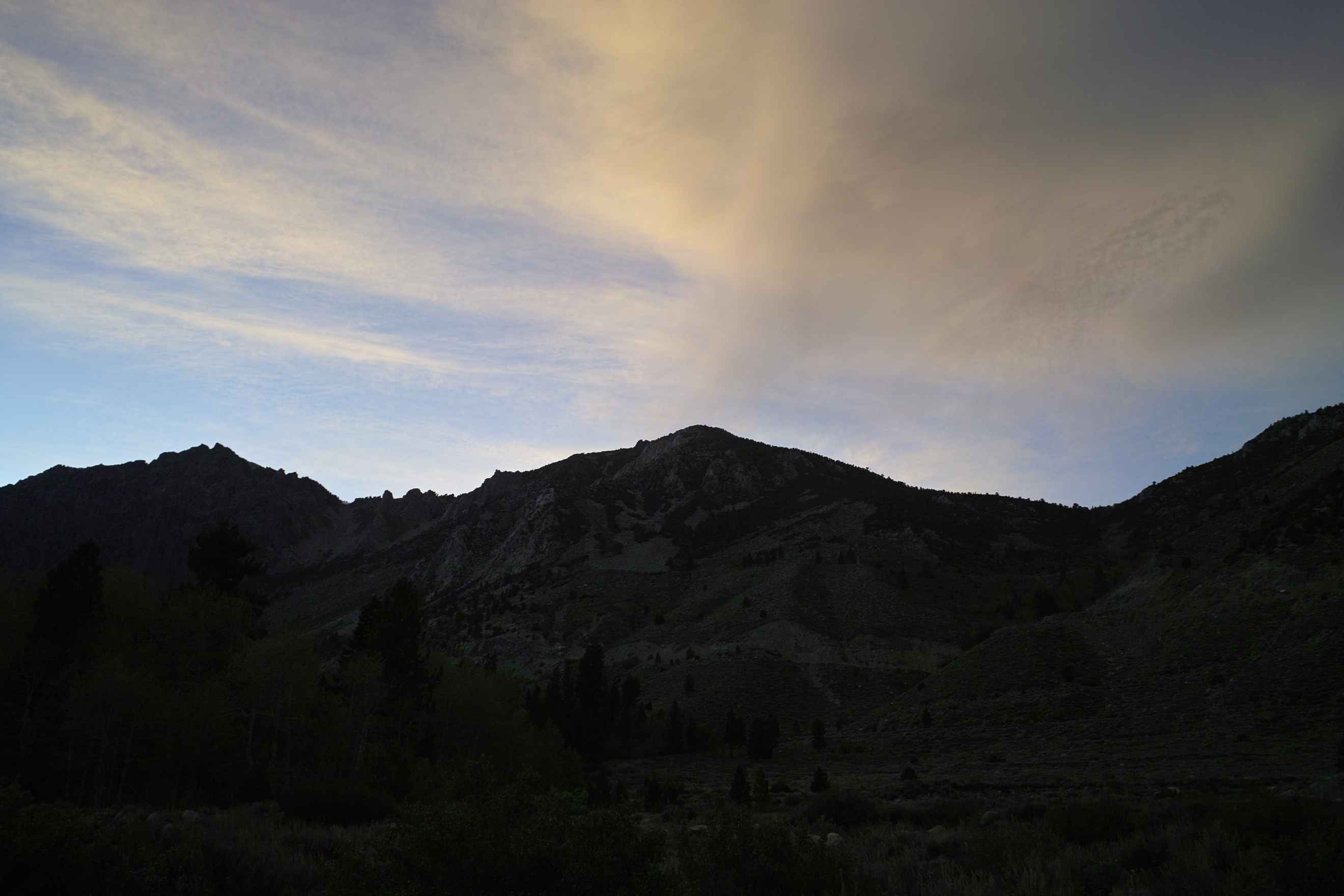
My plan was to do something in the Cathedral Range, but the Tuolumne Meadows ranger was already closed for the day. Not wanting to get dinged with a NPS ticket for camping without a permit, I drove back down Tioga pass into Inyo and found a great little campground that was much cheaper than most. The sunset was fantastic.
My hope was to get back up to Tuolumne for one more overnighter, but my check engine light was on the next morning. The rest of the story is a little tragic—after a break down on the highway and a few days in Mammoth Lakes trying to get it fixed, my car is being towed back to Portland where its fate will be determined. But the time I had was pretty great and relaxing. I caught tons of fish, and was able to check out some new and amazing parts of the Sierras. It's worth the trip!
41.5 miles, 10750' gained, 4 nights