2014 in pictures and when Buck Peak turns into Tomlike Mtn

This forum is used to share your experiences out on the trails.
Post Reply
User avatar
Sean Thomas
Posts: 1647
Joined: February 25th, 2012, 11:33 pm

2014 in pictures and when Buck Peak turns into Tomlike Mtn

Post by Sean Thomas » January 22nd, 2015, 10:01 pm

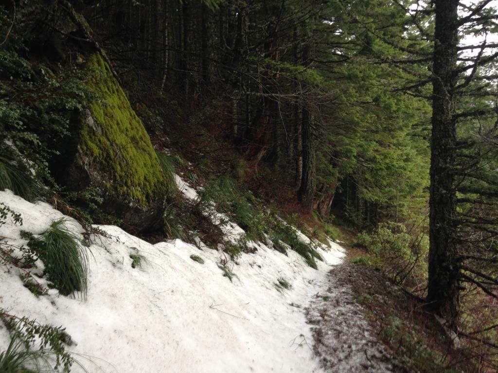
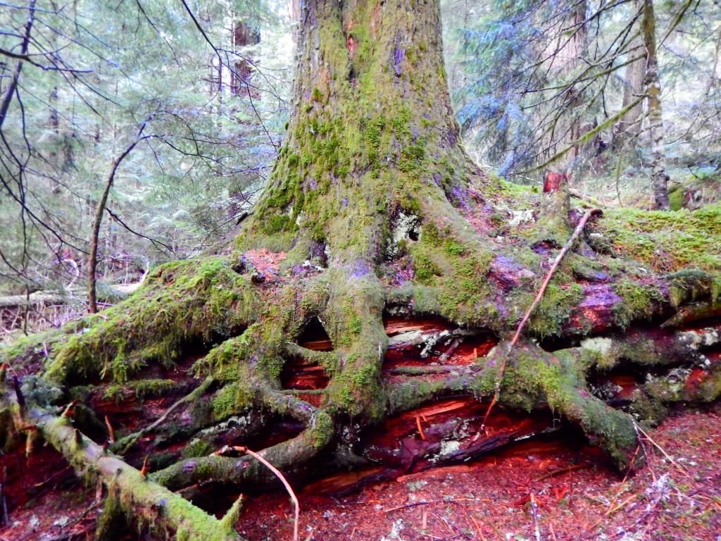
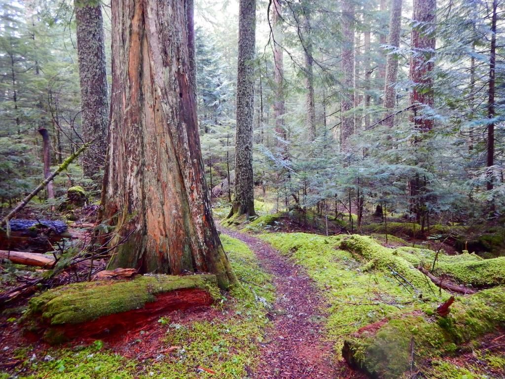
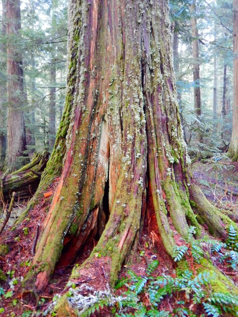
Last Friday was meant to be a winter loony hike up to Buck Peak and the highest point in Multnomah County. I started at Herman Creek with high hopes but crusty snow starting near Mud Lake and a steady morning drizzle quickly turned me into a pile of sludge :D Tomlike sounded like a good idea at that point so I hiked out there to see if the clouds would disperse offering up some awesome views. Getting things rolling at the swamp and some of the forest near the east fork crossing:


Image


Image


Image


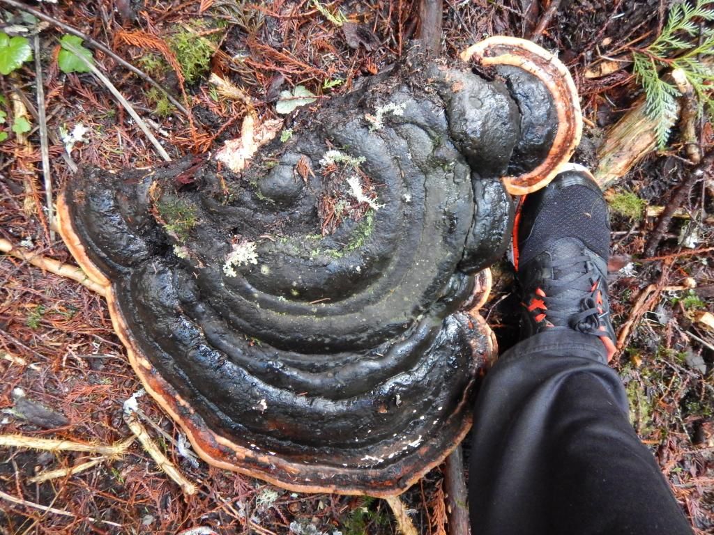
This mega shroom(as well as a few others) had been knocked off the dead tree it was living on for who knows how many years :( Must have been recent as you could even see the footprints through the mud where the person walked up and knocked them off :x

Image


Below the Mud Lake junction:


Image


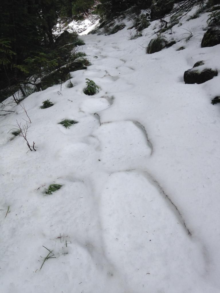
Past the Mud Lake junction someone had snowshoed several days before:

Image


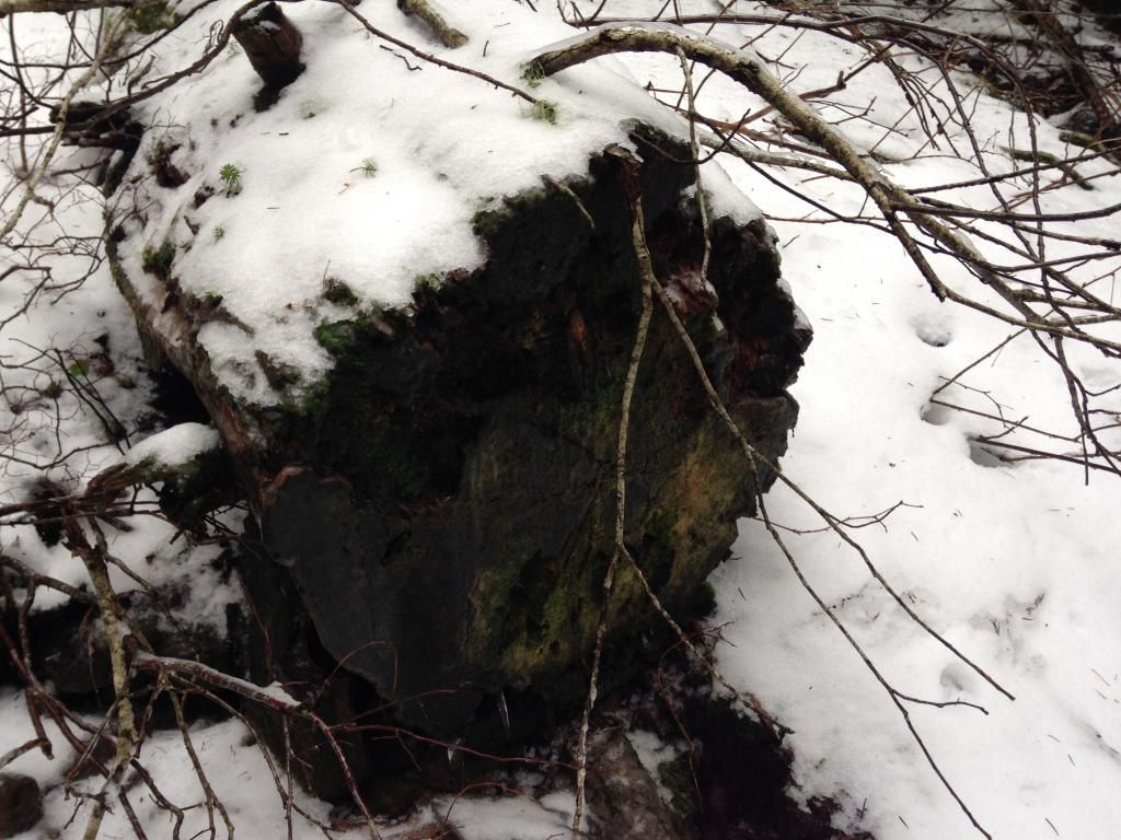
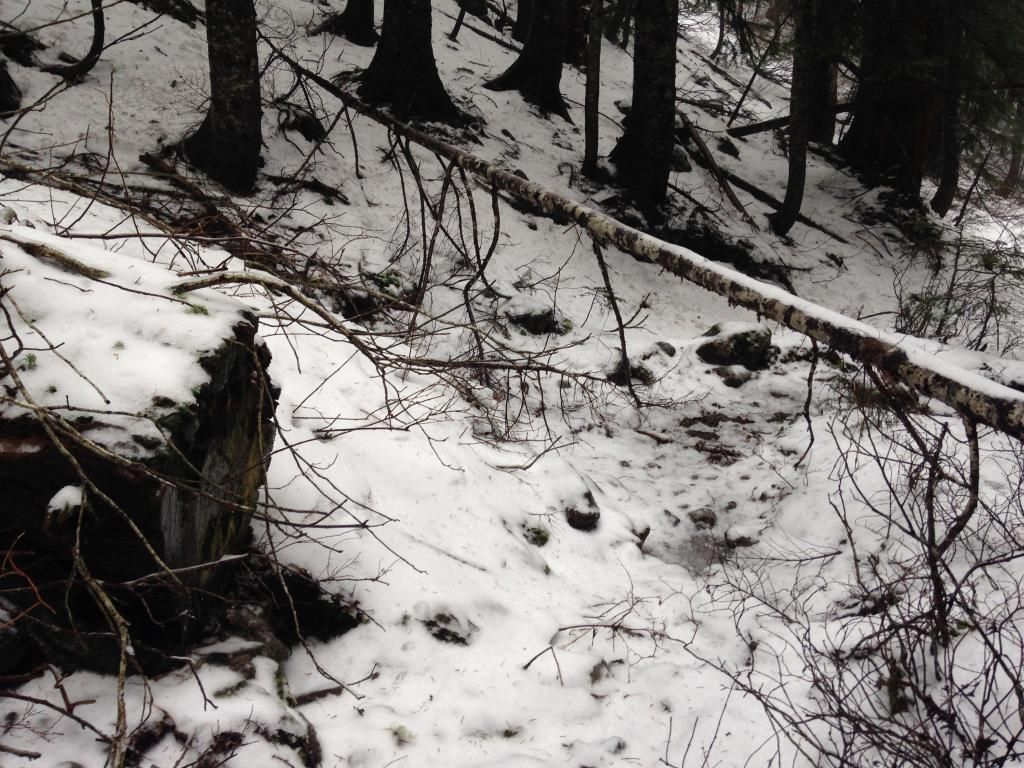
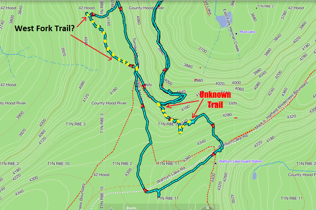
I turned the last switchback on my way to the tomlike turnoff and decided to call it quits with the deepening snow. I have always noticed a trail grade coming in from the hillside so I explored that for a bit. It took off up hill just a 1/3 mile or so before reaching the Tomlike turnoff, im wondering if it was the old Herman Creek or maybe Skyline Trail? I lost it after about a 1/4 mile and just cut over to the anthill/rainy wahtum junction. The old tread was easy to follow and had lots of very old cut logs:
Image


Image


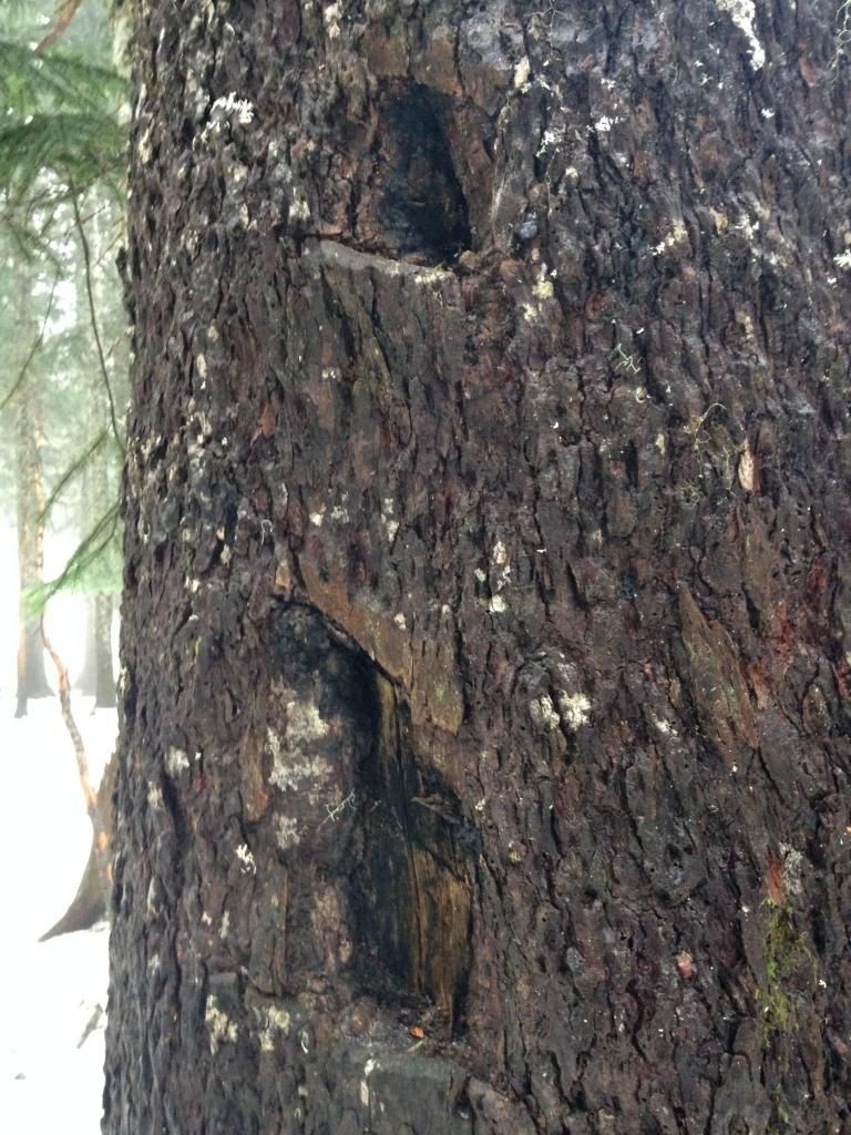
There were several blazes as well:


Image


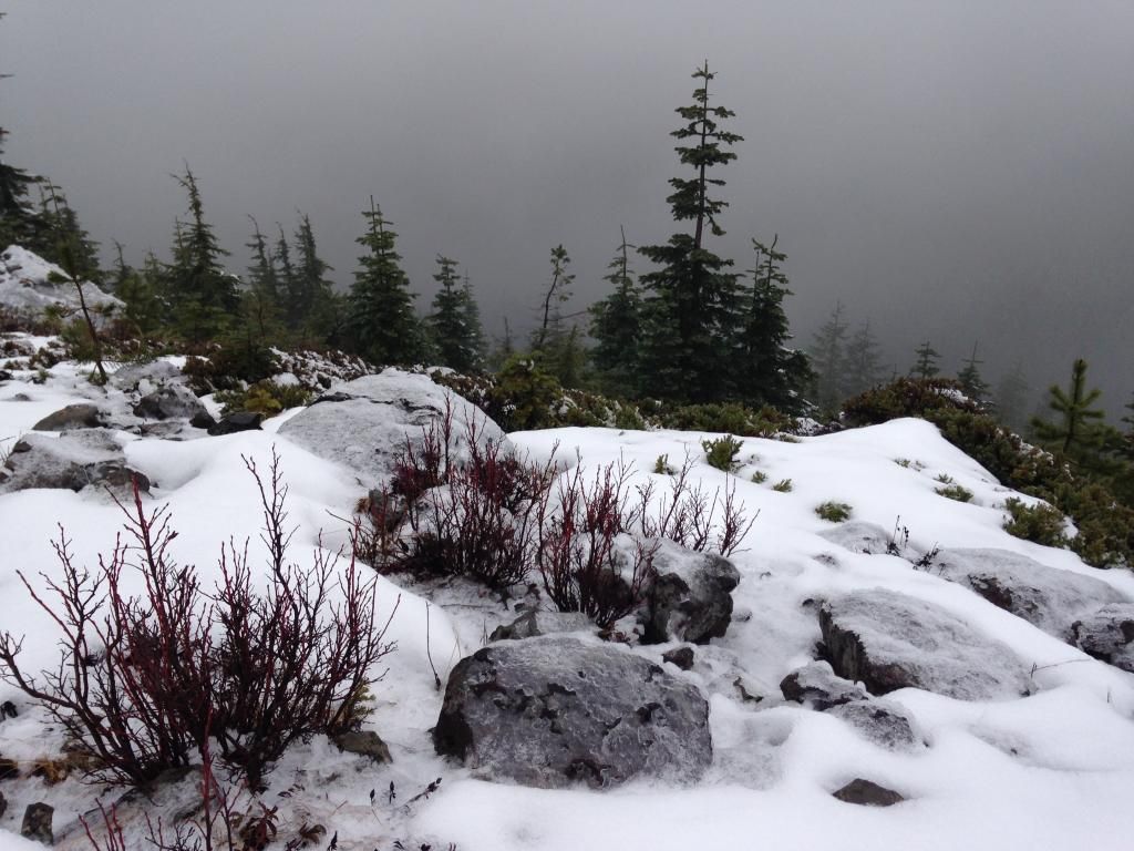
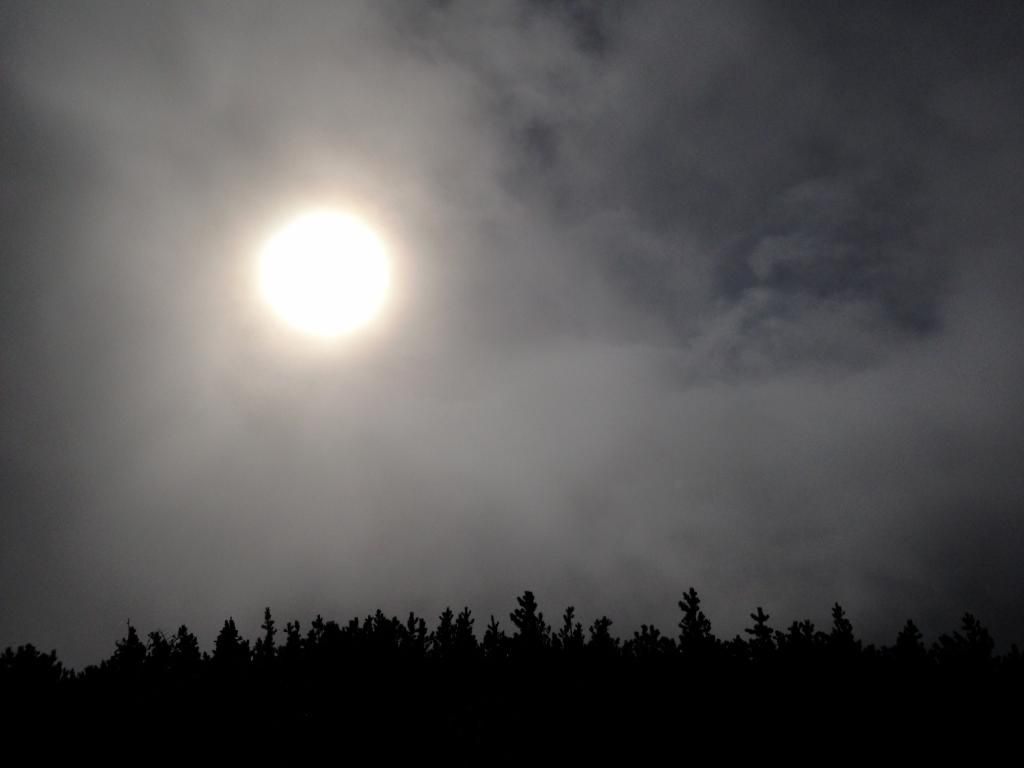
I thought about a short loop around Wahtum too but instead just looped back to the anthill trail and explored around the tomlike spur before heading out the ridge to the summit:
Image


Image


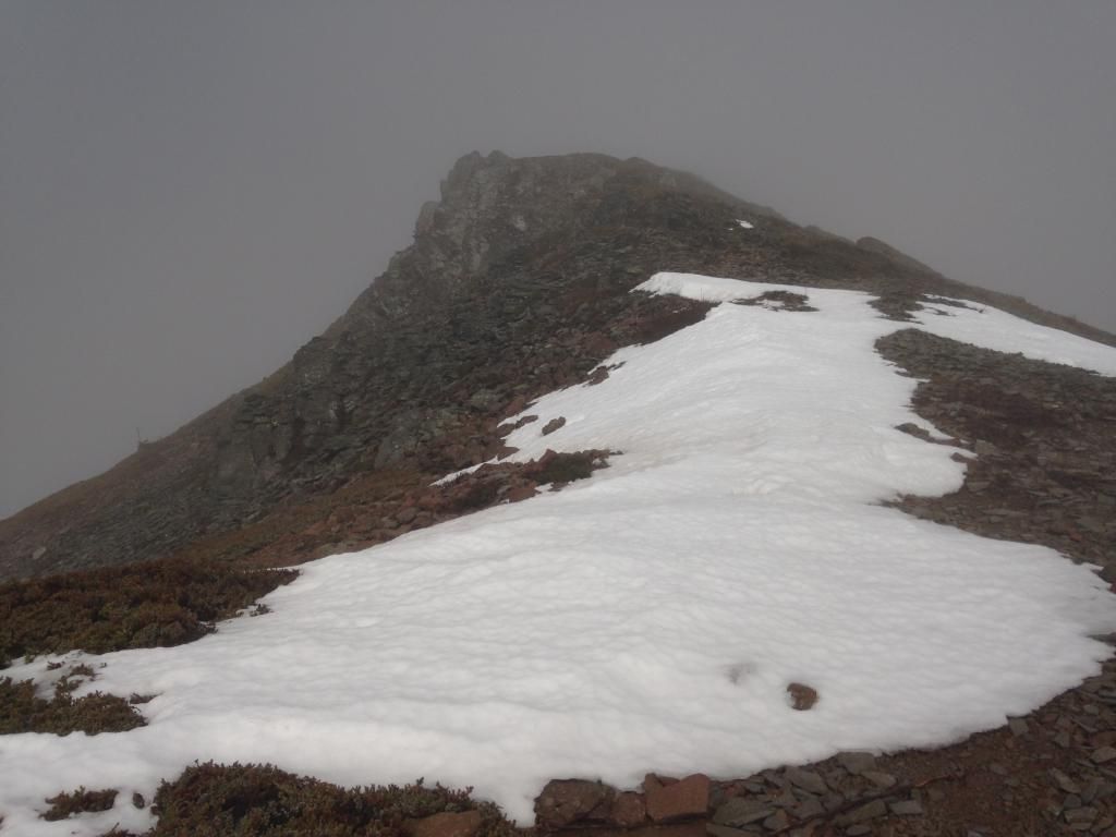
Tomlike Glacier looking kind of puny:

Image


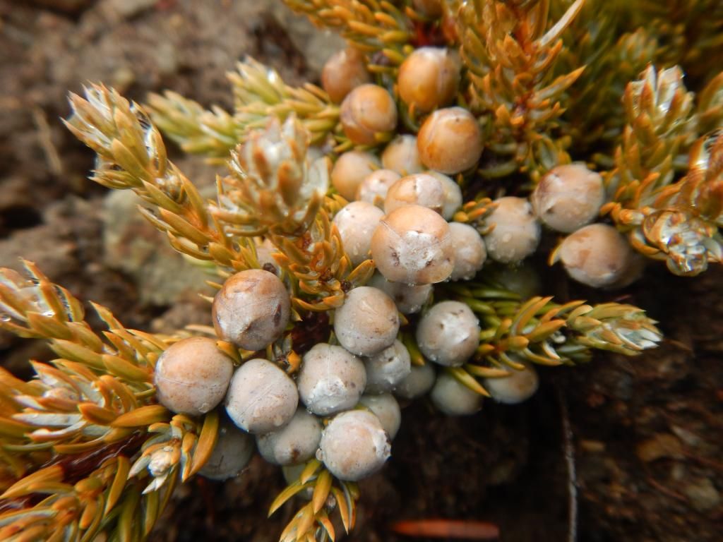
Juniper on the summit of Tomlike Mountain, where I sat around for about an hour waiting for the clouds to clear :)

Image


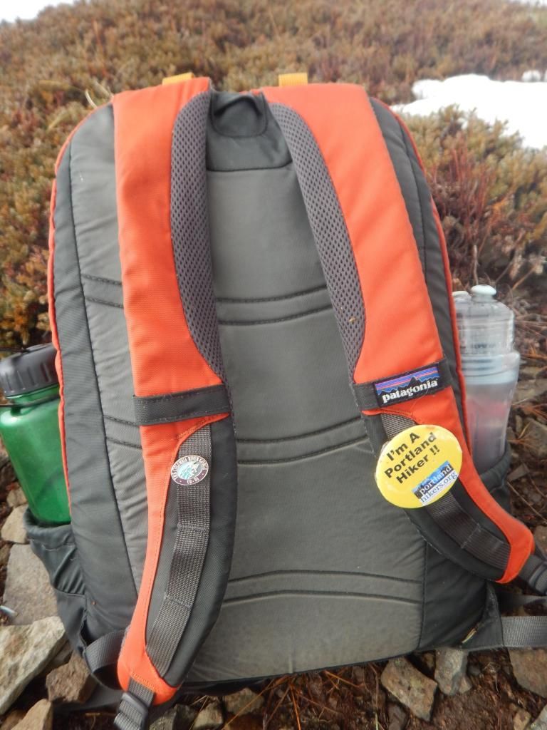
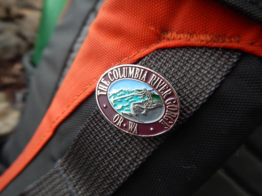
And my backpack straps :lol: only buttons today ;)


Image


Image


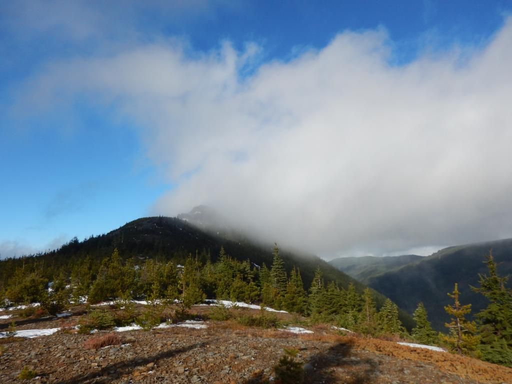
It was one of those, "oh now the clouds leave" kind of summits :D

Image


Clouds or not, the ridge always offers up something to admire:
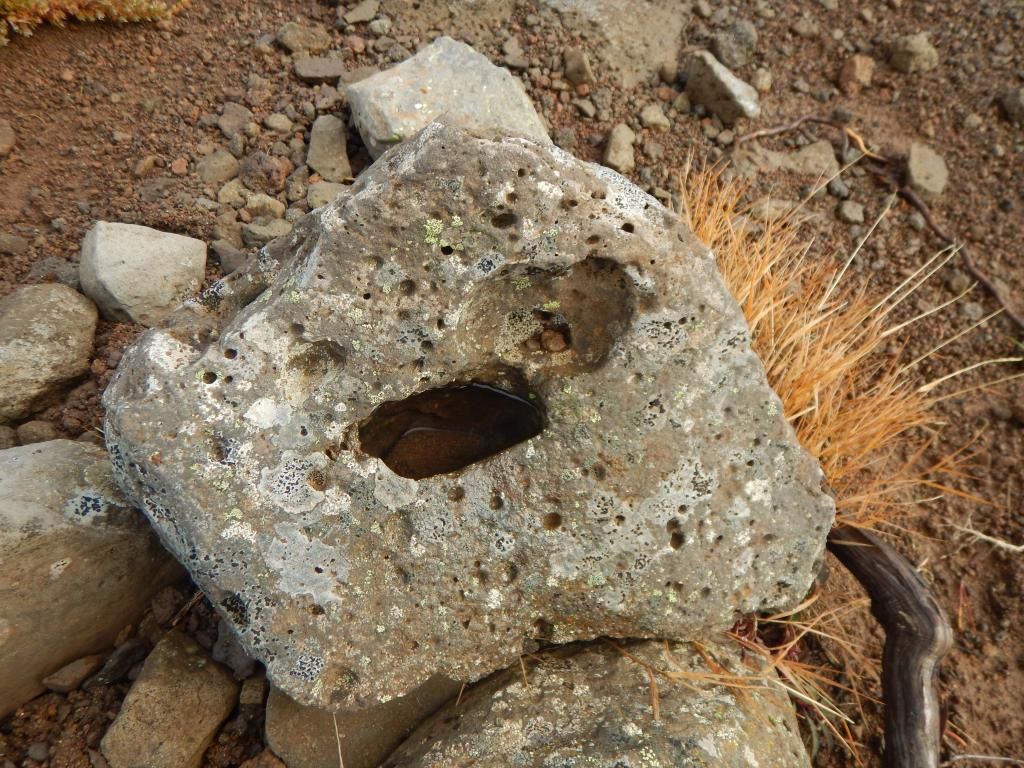

Image


Back in the woods and it was time for the nicely graded tromp back to the car. Saw one backpacker enjoying a fat doobie down by the east fork crossing. He seemed quite surprised to see anyone else :D I didn't take many pictures on the way down but I liked this scene with a vine maple leaf under the rushing water:
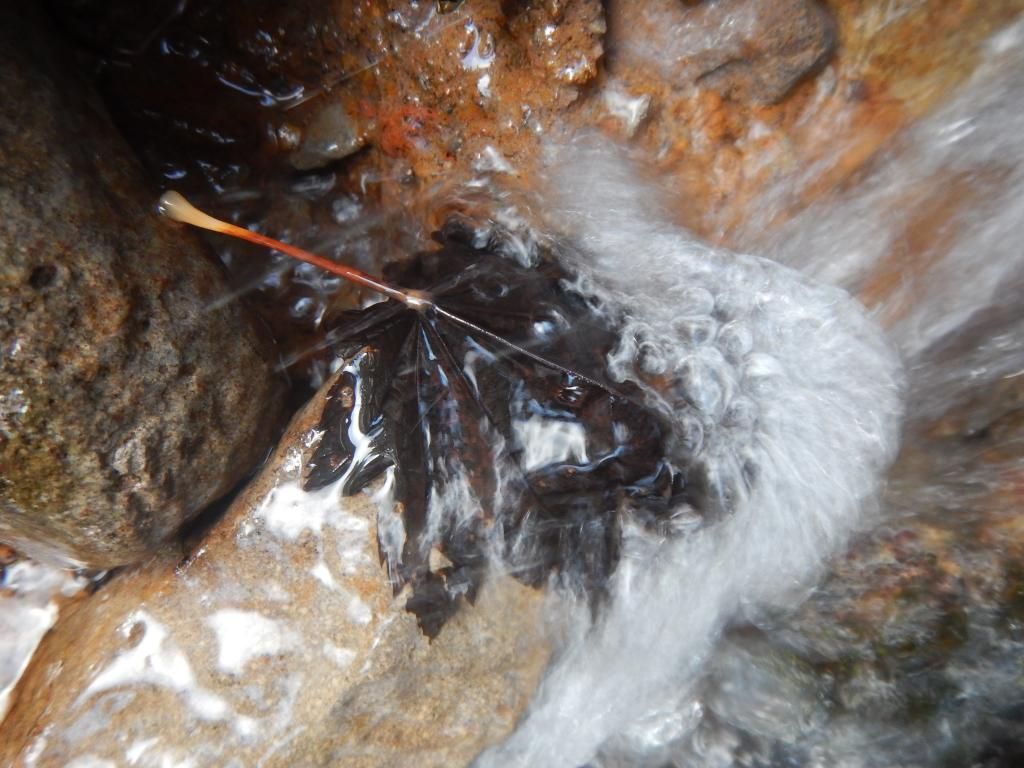

Image


Hopefully if I get some time tomorrow(have something stupid and loony planned again no doubt :D :roll: :D ;) I will upload the gps track for this hike so others can see the old grade alignment. As for the 2014 in pictures part of the title here is a link to a video I made of hikes from 2014 to Seal. Big thanks to all who contribute to this incredible resource. I hope 2015 is just as good or better for all :)

Last edited by Sean Thomas on January 22nd, 2015, 11:29 pm, edited 1 time in total.

User avatar
Don Nelsen
Posts: 4382
Joined: May 28th, 2008, 10:03 pm
Location: Vancouver, WA

Re: 2014 in pictures and when Buck Peak turns into Tomlike M

Post by Don Nelsen » January 22nd, 2015, 10:24 pm

Sean,

Do you have a way point for the trail you think might have been the Skyline Trail? I'm still looking for where that dove off the ridge and have yet to find it. Anything you have will be useful. Of course, I'm always looking for an excuse for another hike.

dn
"Everything works in the planning stage" - Kelly

"If you don't do it this year, you will be one year older when you do" - Warren Miller

User avatar
Splintercat
Posts: 8334
Joined: May 28th, 2008, 10:03 pm
Location: Portland
Contact:

Re: 2014 in pictures and when Buck Peak turns into Tomlike M

Post by Splintercat » January 25th, 2015, 7:42 am

Cool trail find, Sean! Nice shot of the Tomlike Glacier, too... ;)

Tom :)

User avatar
Sean Thomas
Posts: 1647
Joined: February 25th, 2012, 11:33 pm

Re: 2014 in pictures and when Buck Peak turns into Tomlike M

Post by Sean Thomas » January 25th, 2015, 7:49 pm

Thanks, Splint. Its always fun to find something new in a familiar place :)


DN - here is a little map of the "loop" I did around the area with the yellow dotted segments being old/abandoned trails:


Image

Post Reply