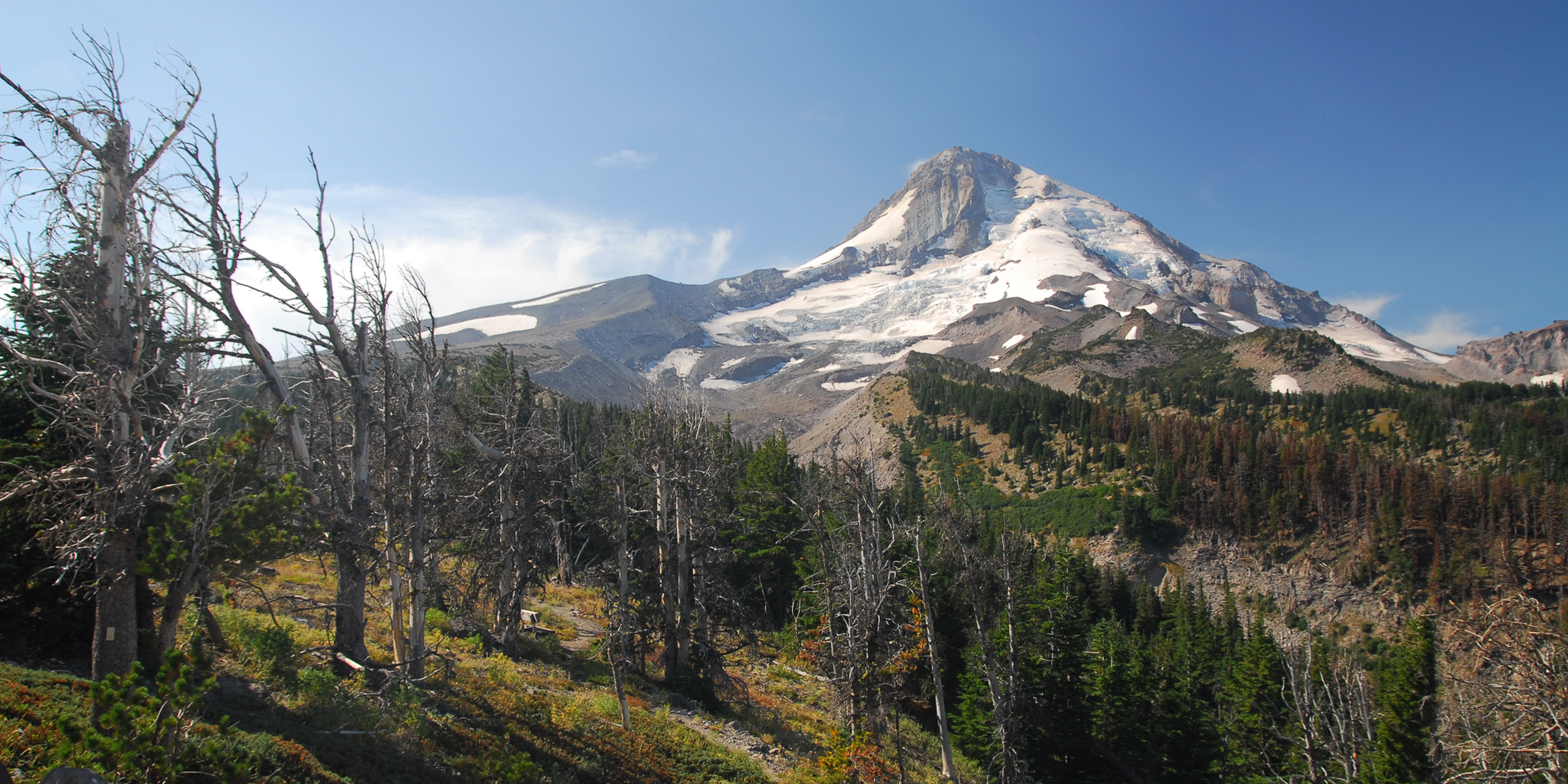
retired jerry wrote:Eliot Glacier retreated a little.
I noticed that. The photo vantage point is almost exact, the newer one a tad closer to the trees in the foreground of the older one. The newer one could possibly have been taken later in the year, but the lack of snow at Cloud Cap in both photos seems to indicate the melt was mostly over for that year. Given the rate of global ice retreat, it isn't really surprising that Elliot has retreated that much in 100 years. It looks about 30-40% of the size of the older photo. It would make sense as this is supposedly why the Sandy Glacier caves exist, as it too is evidence of a dying glacier, from the inside out. Another 100 years (sans eruption) and there will probably only be snow at the very peak year round. I wonder what that will mean for the Clackamas, Sandy, ZigZag, White, Hood Rivers in the summer? The salmon in the fall? The agriculture in Hood River...etc. Big changes to come, no doubt.