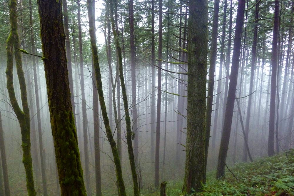
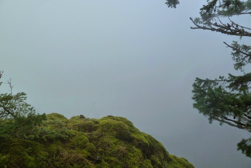
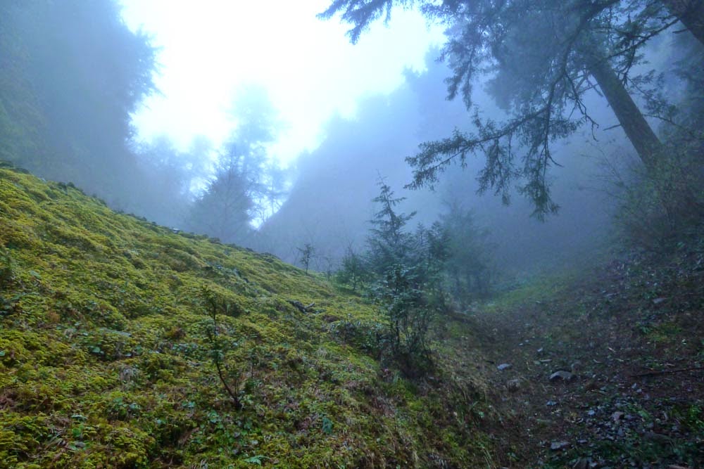
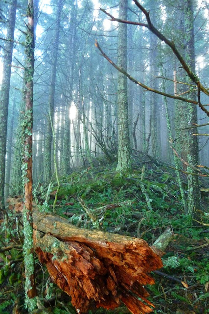
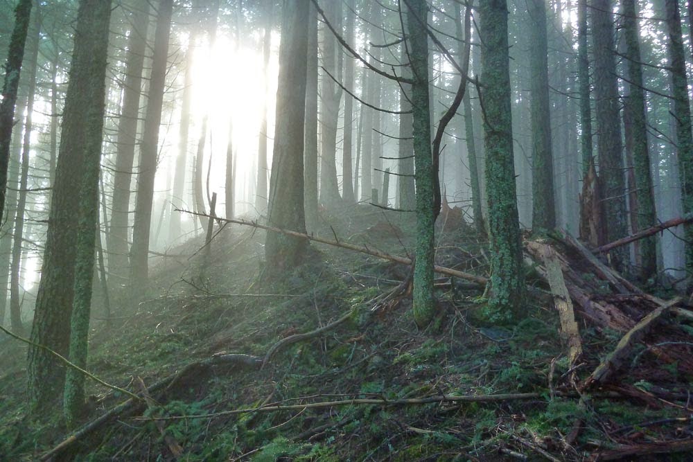
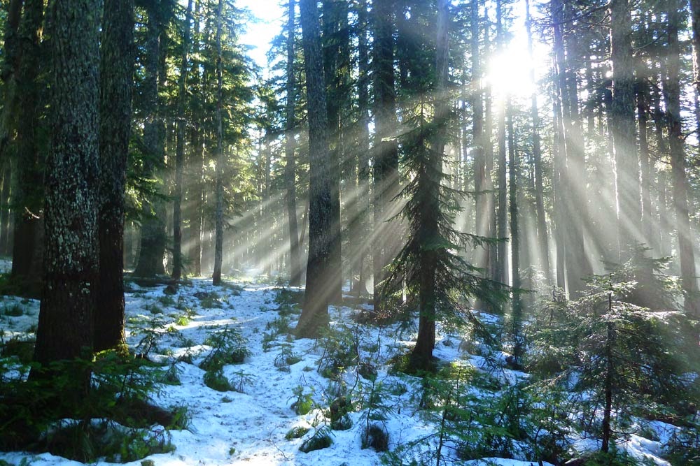
Despite it being a beautiful, sunny day, there was an odd horizontal line of fog hanging out in the trees around the 400 trail right out of Wyeth.
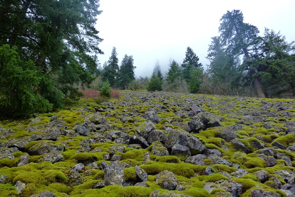
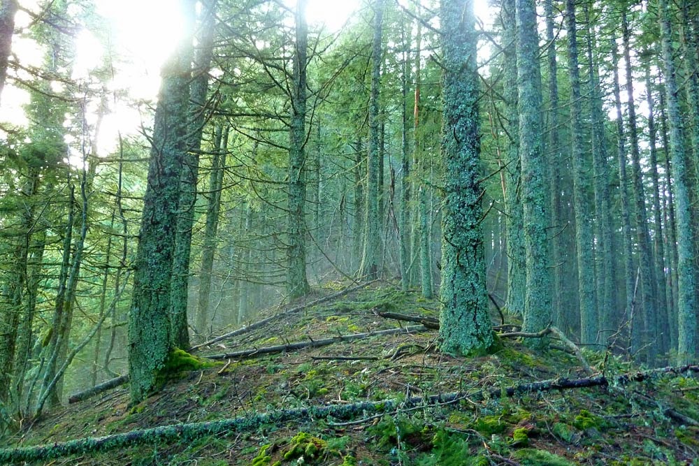
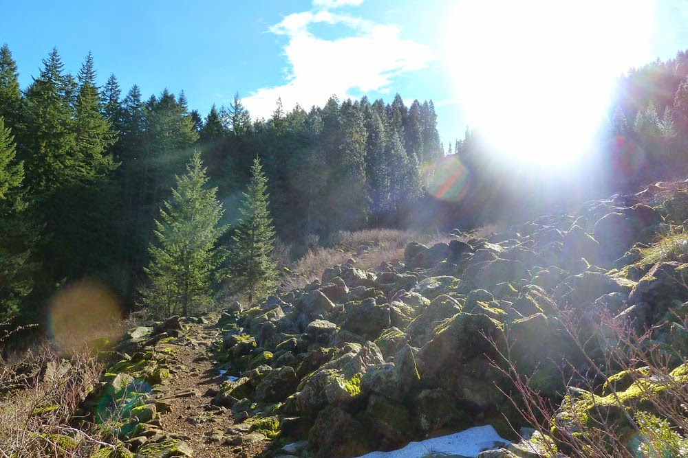
We continued on the 400 until we reached the set of talus fields right before the Wyeth Crown, which is up and to the right in this picture, though it's hard to see due to all the sunshine.
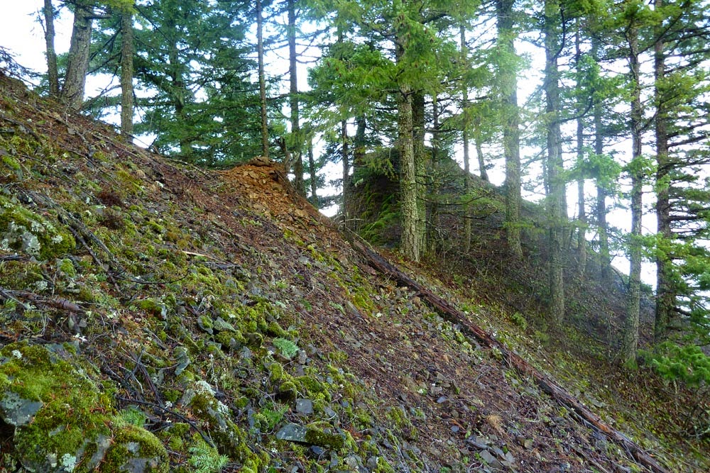
Mappage indicated the large gully could be accessed low and slightly easterly; however, the talus took us somewhat to the west, and we decided to ascend through a series of rocky outcroppings that Bob named the "Mossy Gates" in honor of some discarded plans to climb Hood that morning.

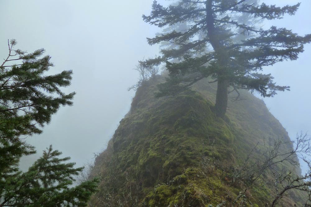
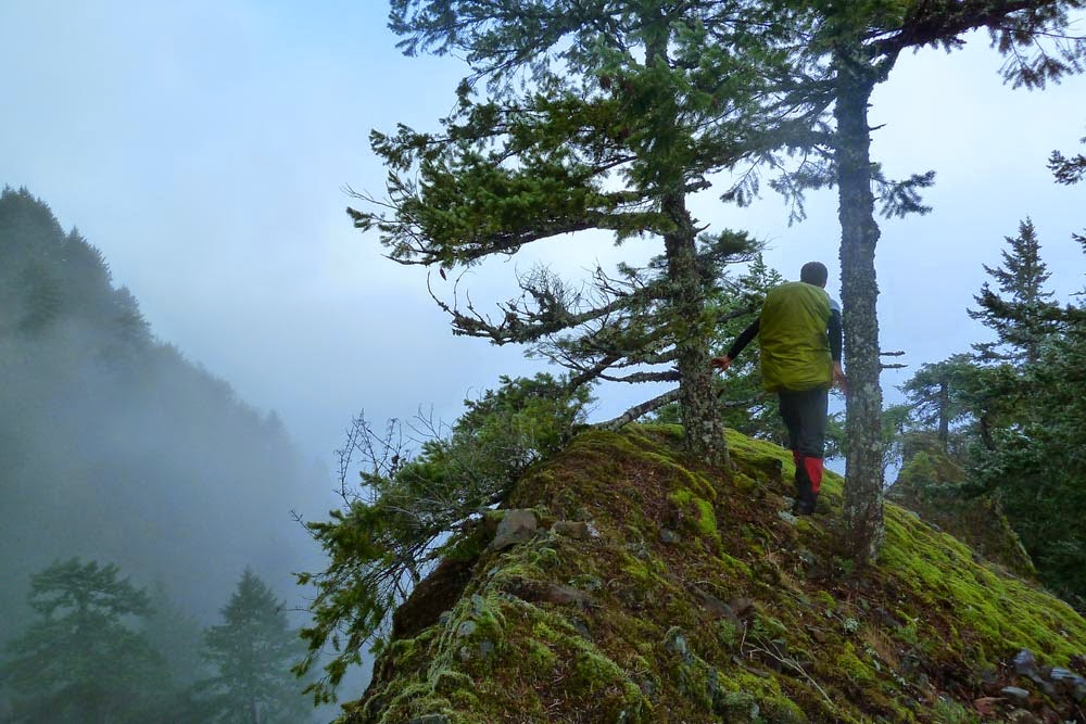
The top of the left gate had a sweet viewpoint.
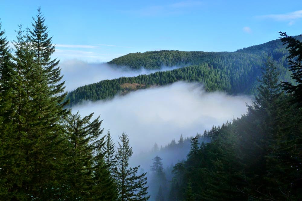
Magnificent views of the Columbia River!!
We followed the ridge for a little bit after this.

A little easterly traversing led us to the bottom of the steep looking Deadwood Chute.

Partway up, there was a game trail leading out east around a little bend. When I turned the corner, I saw some deer bounding over the hill up in the trees.

More beautiful river views!!
Back into the Chute. It's reminiscent of the Third Gully under Indian Point. Traction is pretty decent when the ground is wet, as the dirt and pine needles give you a good grip.


The top is at the notch up and left. We worried that we'd either hit an insurmountable headwall or come to the edge of a cliff.
But no! A last bit of schwacking got us to the saddle at Deadwood Point.


Kudos to Ben for noting there's a better viewpoint down around the east side of it.
Stunning panoramic views of the Gorge!!

Goodness, you can see straight down the ridge to the river!!
We then backtracked to the saddle and headed up Deadwood Ridge. Seems like this area must just get pummeled by the wind.
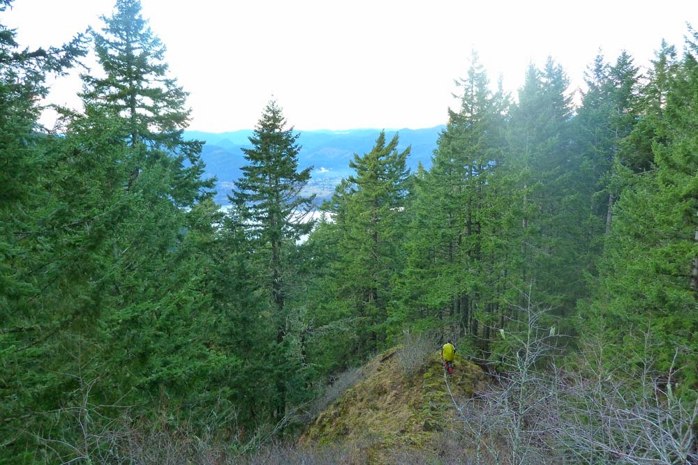
I was surprised to encounter some other folks going off trail on this part of the ridge. Then I realized we'd reached the Gorton Creek Trail. We followed this up towards the top of Wyeth.
View east. Upper ridge is the top of the Wyeth trail. Middle ridge with the open area is the Wyeth Spur off trail ridge in GCC.
The weather took a turn for the worse as we headed up.
After reaching the junction, we decided we were so close to Green Point Mountain, we might as well head up there. The snow is pretty minimal around 4300 ft at this point in
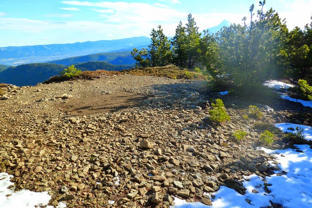
Positively no views on GPM.
Rainy Lake looks like it's thawing out already.

We toughed out the miserable weather up top for a bit, but as this ate a bit of our remaining daylight, we decided to roll the dice on avoiding the endless switchbacks on the Wyeth trail by going direct down the Wyeth Spur. The initial portion had a nice game or use trail.

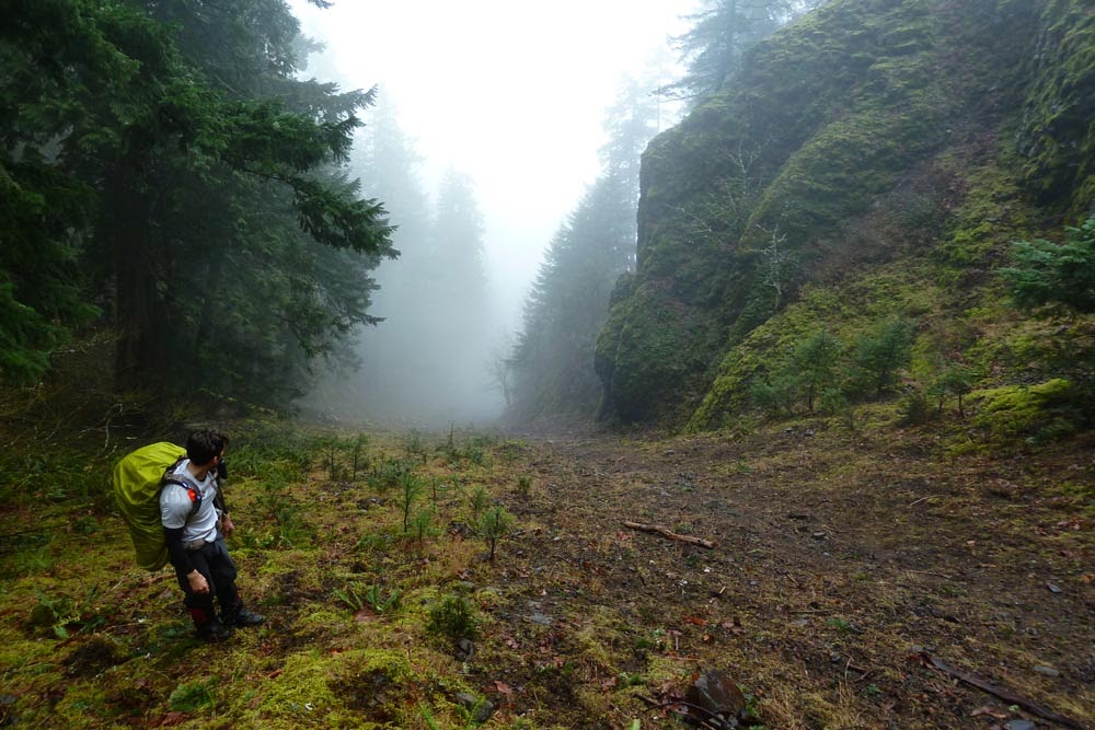
Reaching that open meadow we saw earlier.

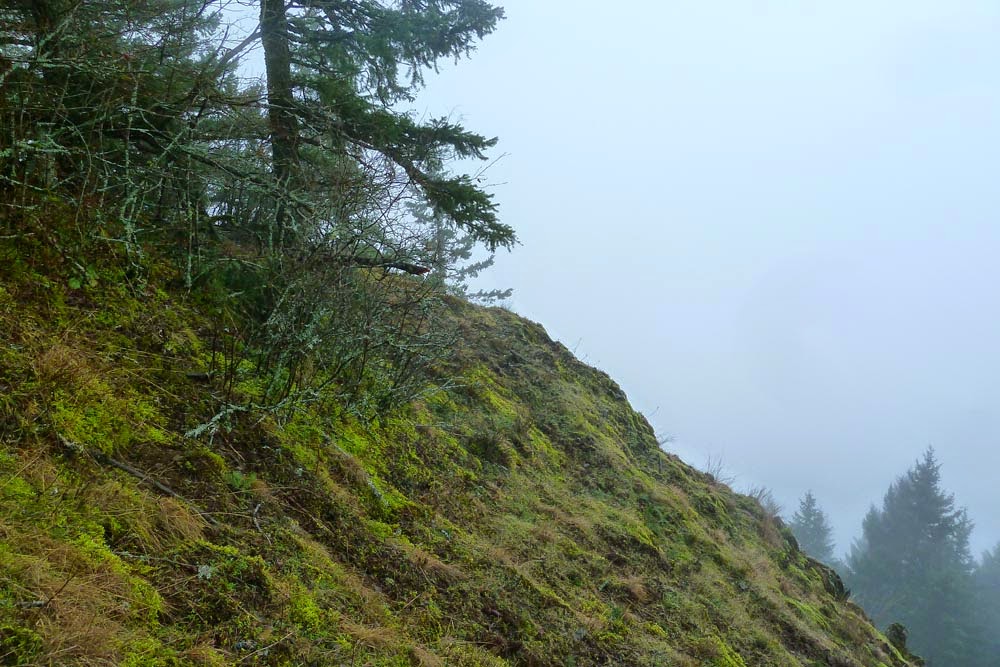
Overall it was really brushy. There were occasional bits of ridge spine.
Around this spot, there was a good view of the fading light on St. Helens. It looks like it's melting out nicely for

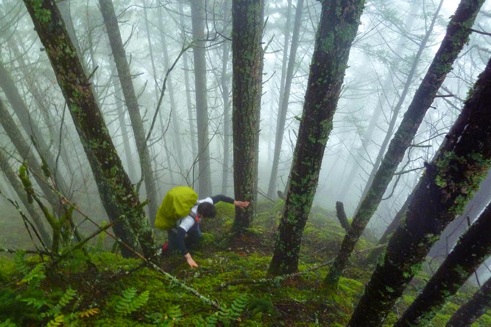
Ok, so after this, the "fun" began. There was still plenty of brush to contend with. Routefinding was a little interesting, as the ridge is not perfectly defined. We started hearing repeated gunshots off to the west - hunters shooting at cans? (The noise would have scared off any game within a few miles...) We donned headlamps to avoid being mistaken for deer. The sun went down. We encountered a sheer cliff and had to veer west, go down a steep slope, and then veer right back east above another cliff, all across steep and loose dirt by headlamp. The slope was still steep, with slippery blowdown. There was more brush, this time of the spiky variety. Luckily it gradually flattened out a bit, and we eventually walked right down to the powerline road, then jogged down the 400 to the campground cutoff and made it back to the car, only an hour later than planned.
Note #1: I don't have scans of the Wyeth Spur pages of GCC, but I'm pretty sure the summary of it wasn't very favorable.
Note #2: The Wyeth Spur is not a shortcut for the Wyeth Trail.
If anyone feels masochistic and decides to do the Wyeth Spur, I'd recommend going up.
In other news, Pablo finally succeeded in strapping a GPS to me!
<map redacted>
Still working out some kinks (it randomly stopped recording before we reached GPM; Bob will have a full track). Here's Google Earth of the Chute.
<map redacted>
We would have been dead in the water on the Spur in the dark without Bob's expert navigation using Google's "My Tracks" app that tracks your route on top of the wonderful LIDAR-enhanced Google terrain map. Highly recommended, and thanks for saving our bacon Bob!
A somewhat epic day, and you couldn't beat the weather, except for up on top.