It's distressing to realize I've lived in the area for nearly 40 years, and hadn't yet been to Paradise Park! So that was the first goal for today. But I'd also run across another couple threads about looping up and back to Timberline across Mississippi Head, and there was just something about that trek that called to me. So that was the plan. In all, I probably crossed paths with fewer than a dozen other hikers (or groups of hikers, at any rate) on the way to and through PP. On a beautiful Saturday in late August, of all times! For all the moaning I sometimes hear about how crowded Mt Hood is, well, it was like the Enchanted Forest (guessing!) compared to the DisneyWorld-scale of humanity trampling through the Gorge.
I think this was the first time I'd ever really stopped and appreciated this sign, which puts "thru-hiking" into much better perspective!
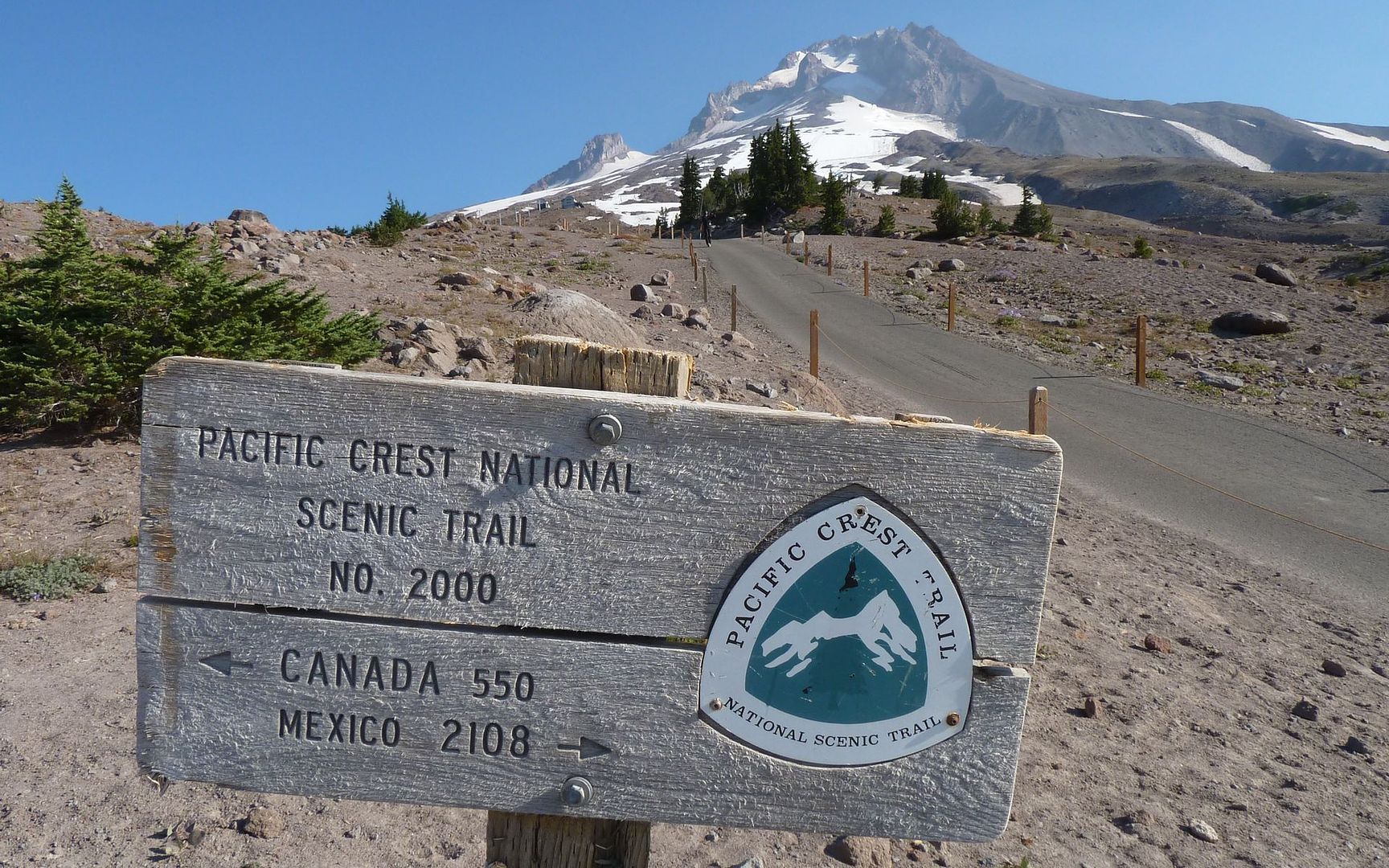
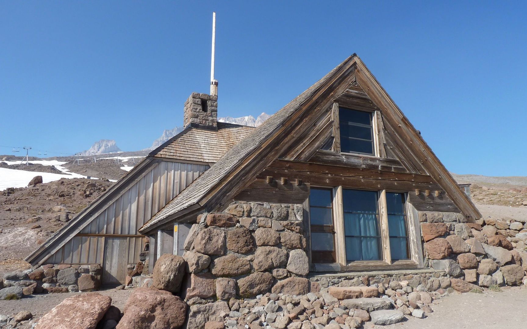
Just above Timberline Lodge
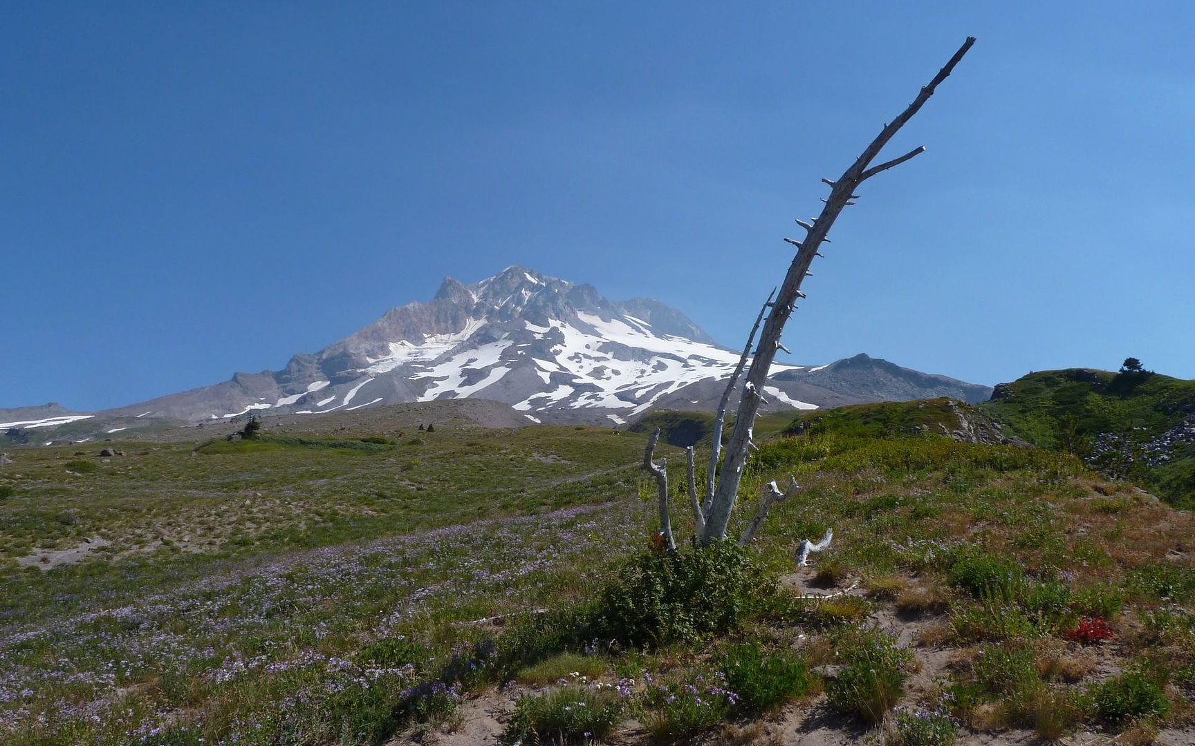
It was a pretty darn nice morning! But I did note the distinct lack of Mt Jefferson on the southern horizon. That wasn't right, given how clear it was in every other direction. At 9am, Olallie Butte was still quite discernible, but that was the limit.
Olallie Butte poking into the haze on southern horizon
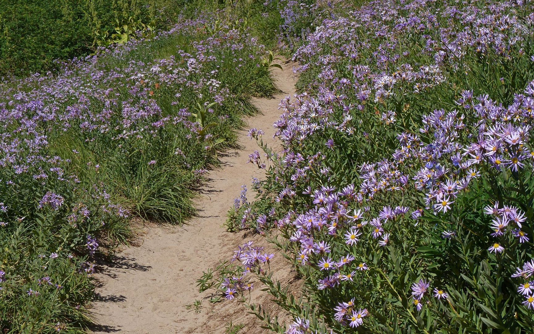
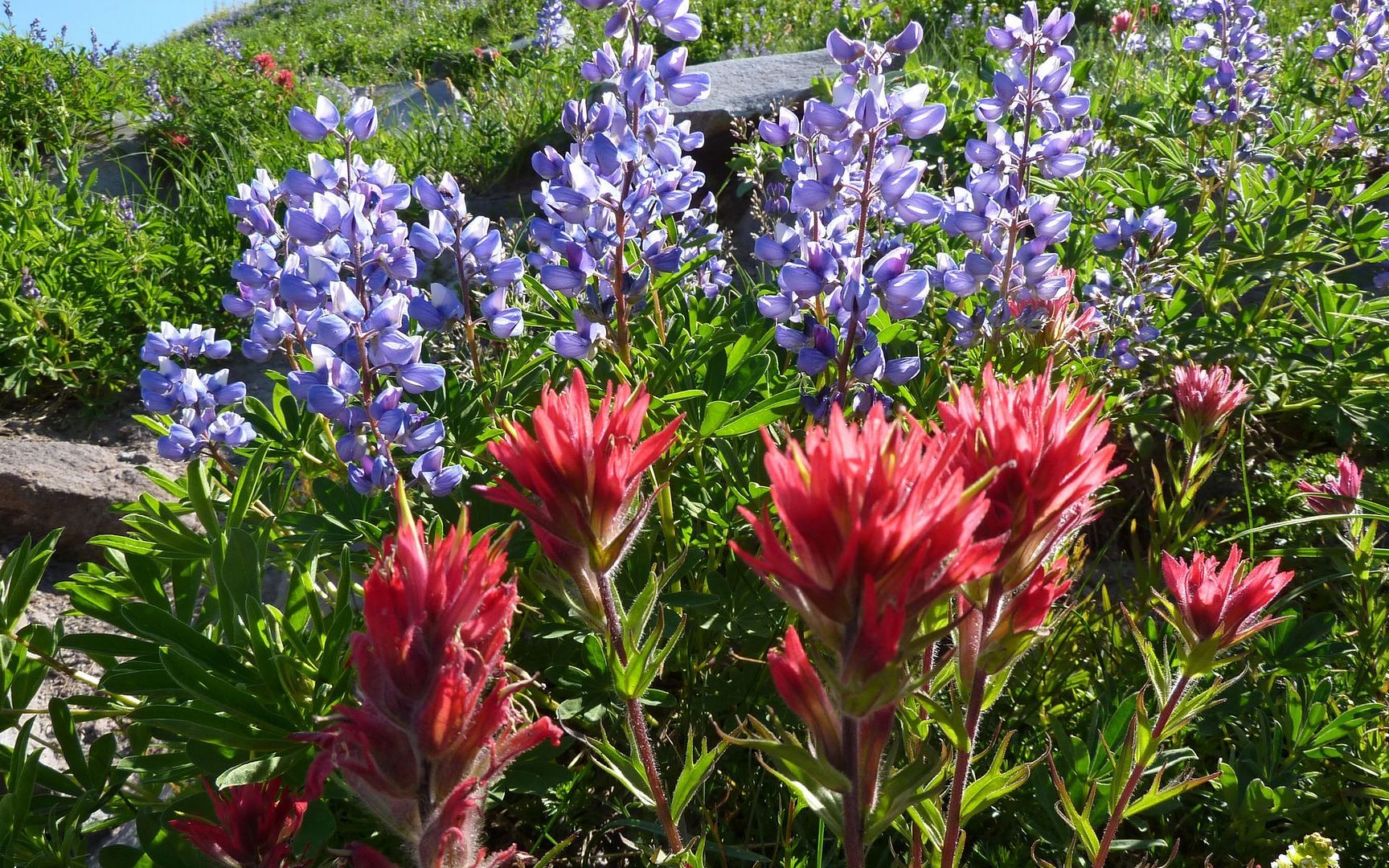
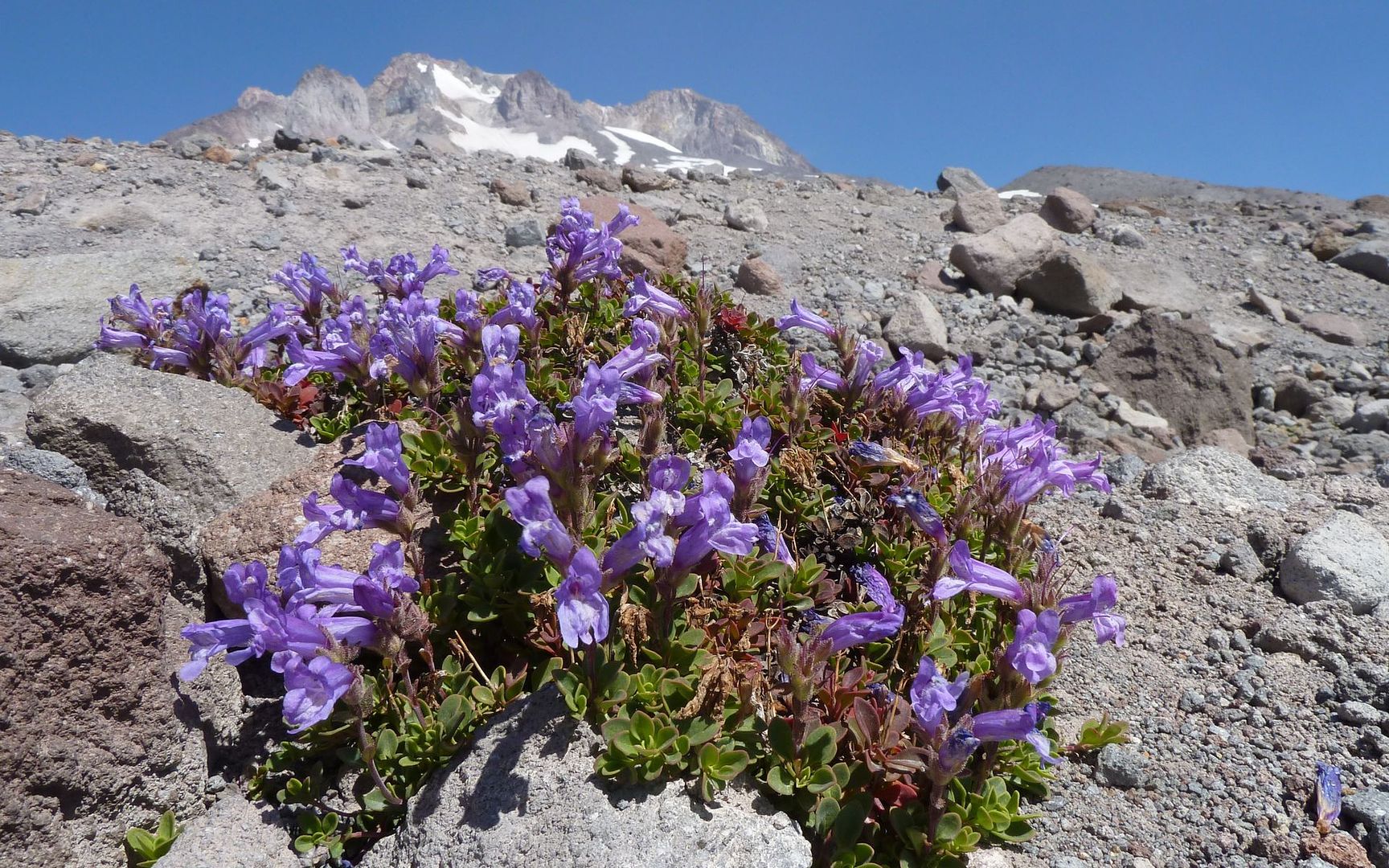
The lupine was everywhere at this elevation. You couldn't get away from it if you'd wanted to...
The PCT is sometimes so finely tended, it seems you could hike much it in moccasins!
Lupine fields far below the groomed Palmer
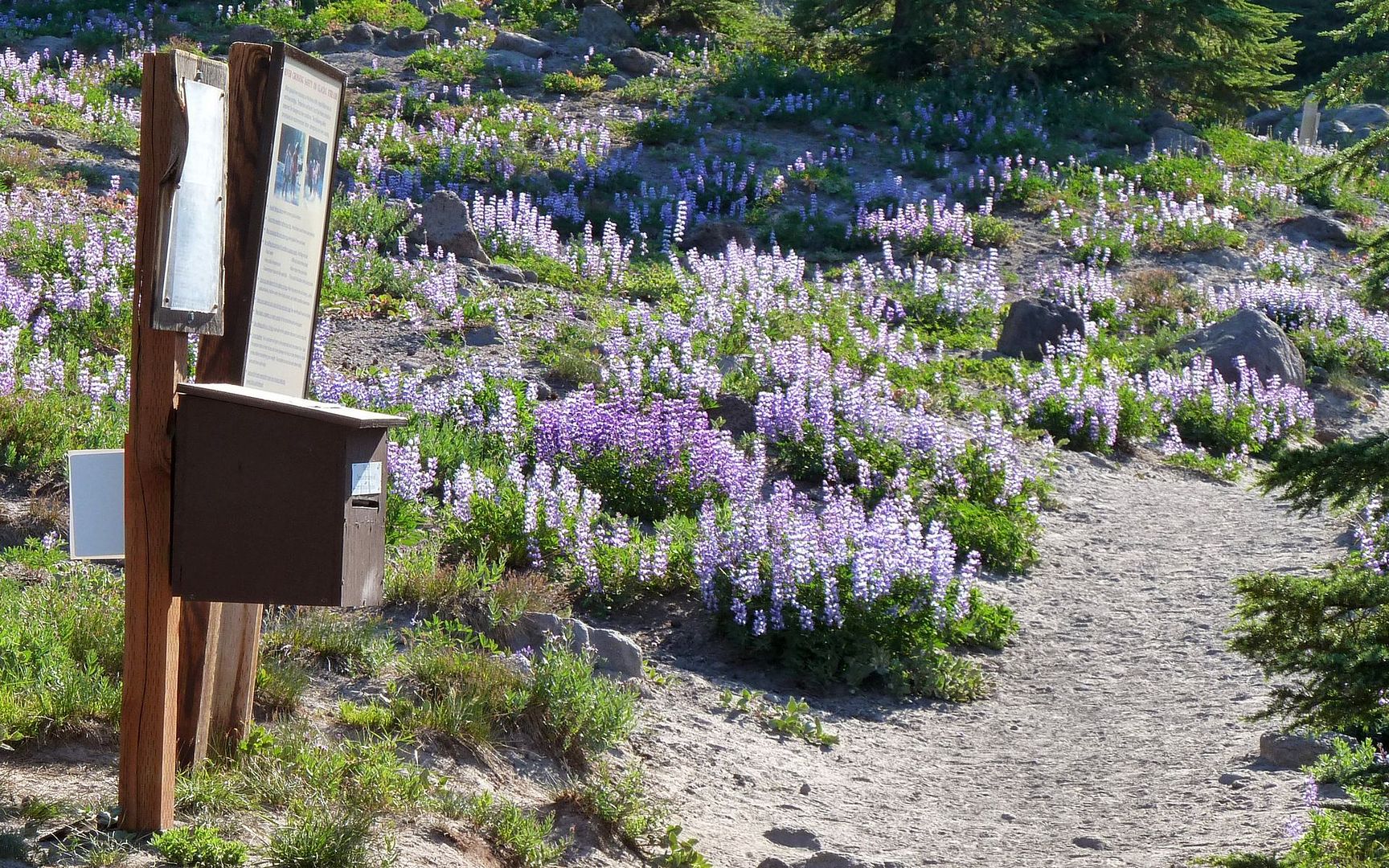
Wilderness registration station, for use by all campers and dayhikers
Say what you will, solo off-trail mountaineering (apologies to the purists for the redundancy there) leads one to appreciate a strong cell signal.
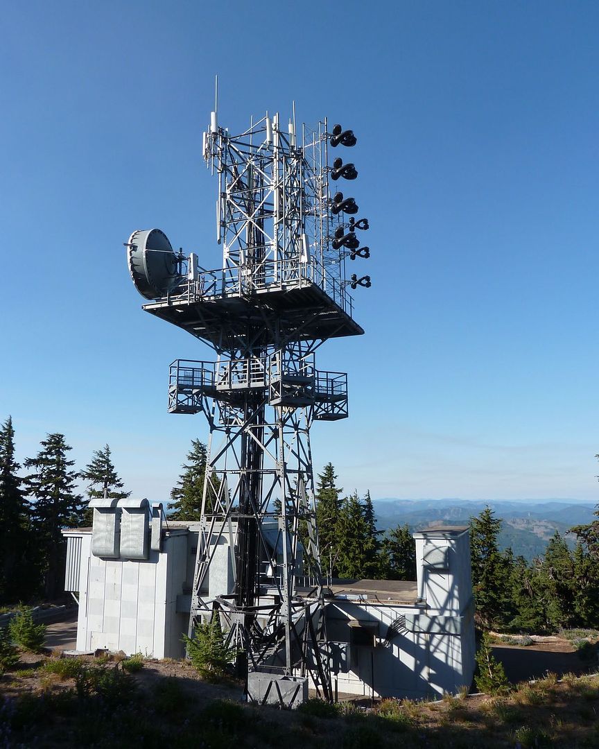
Potential lifeline
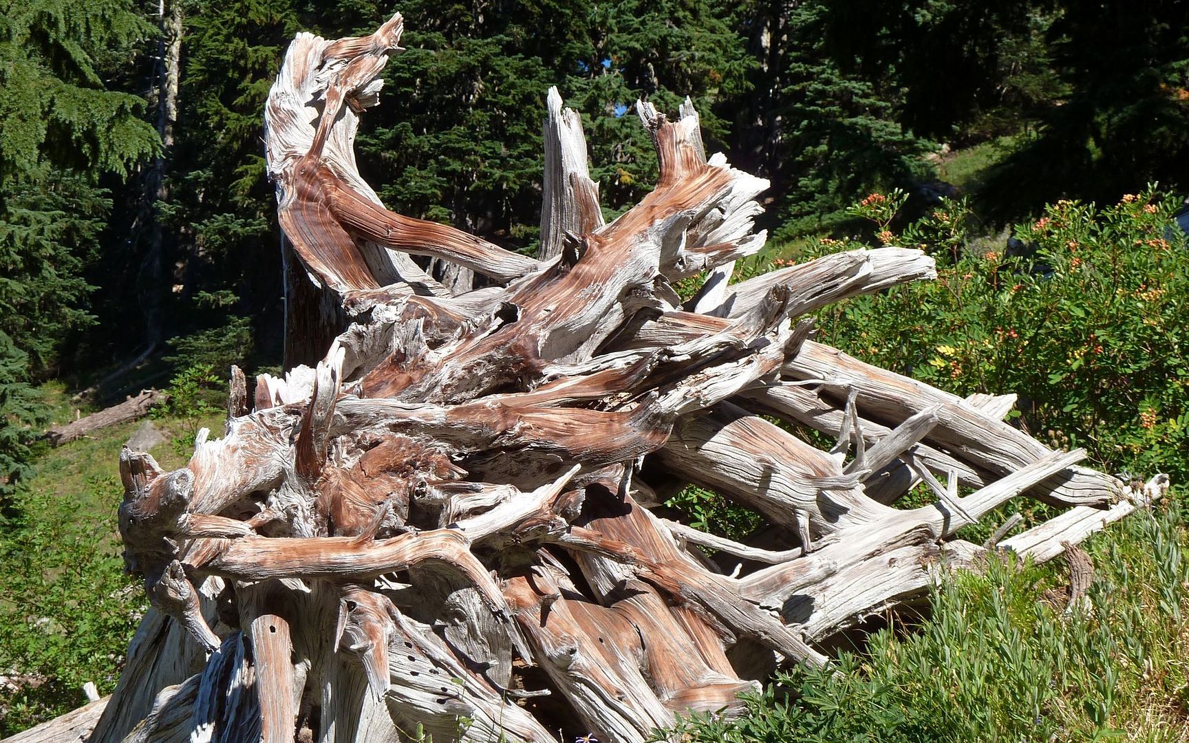
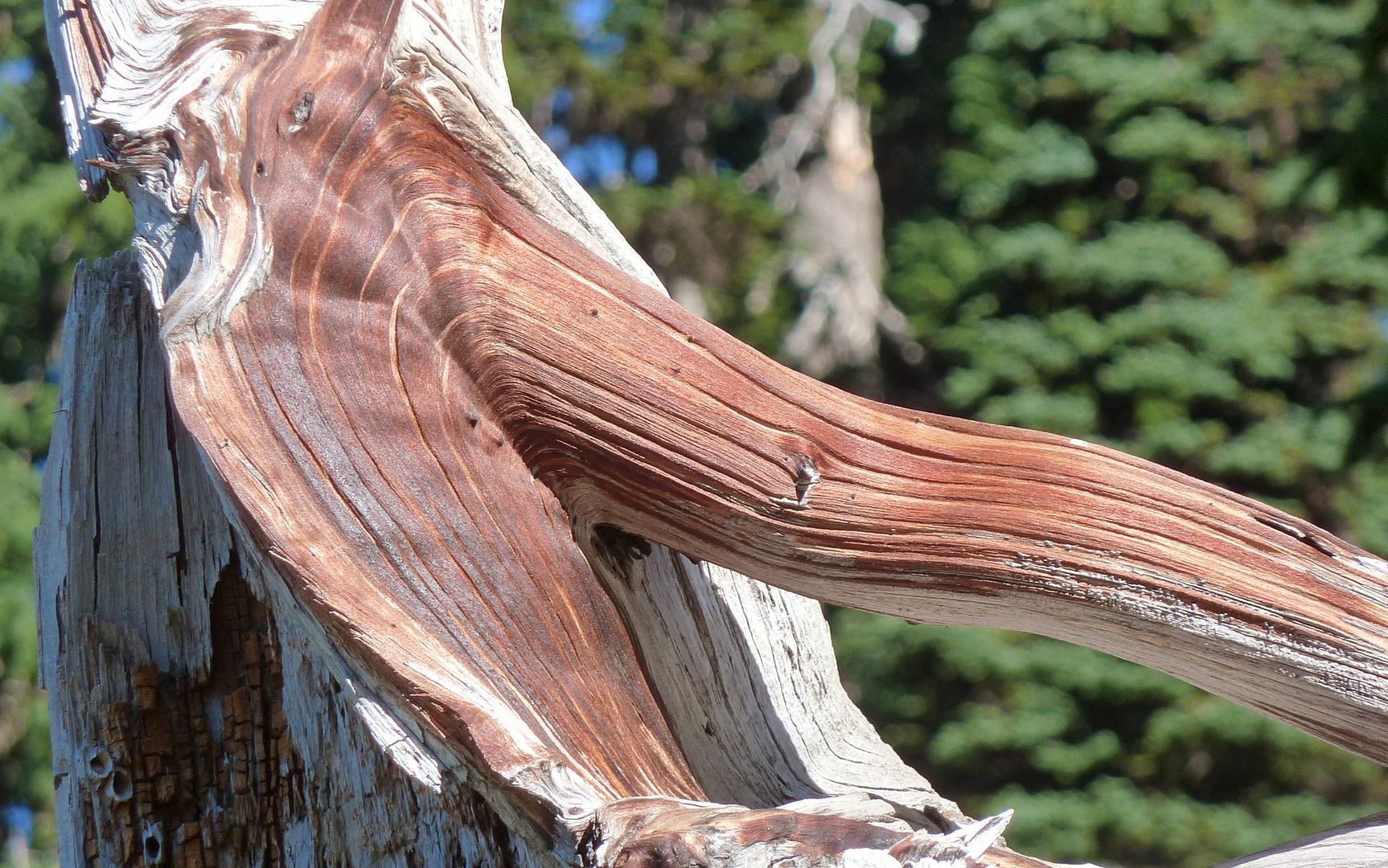
A little past Sand Canyon, saw a kinda cool toppled tree that'd weathered marvelously.
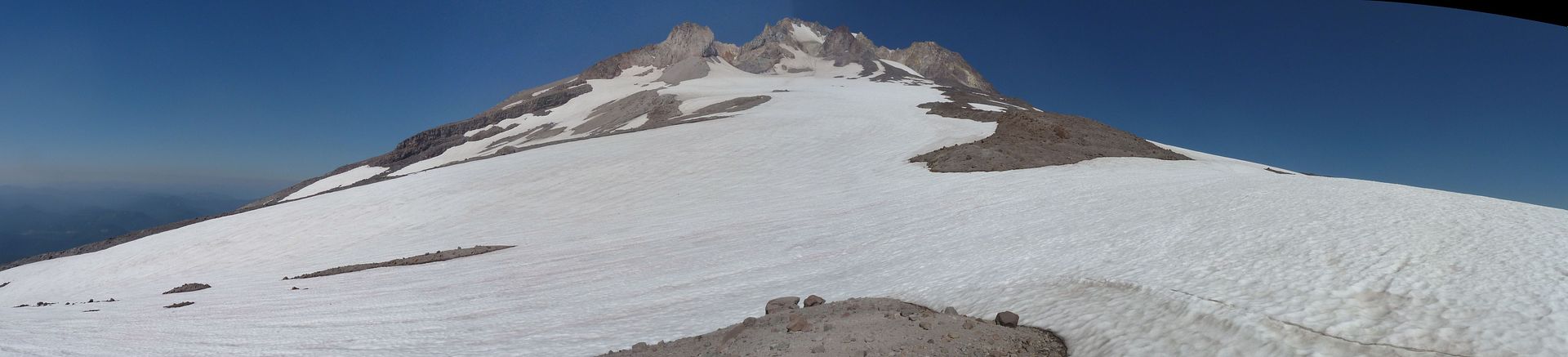
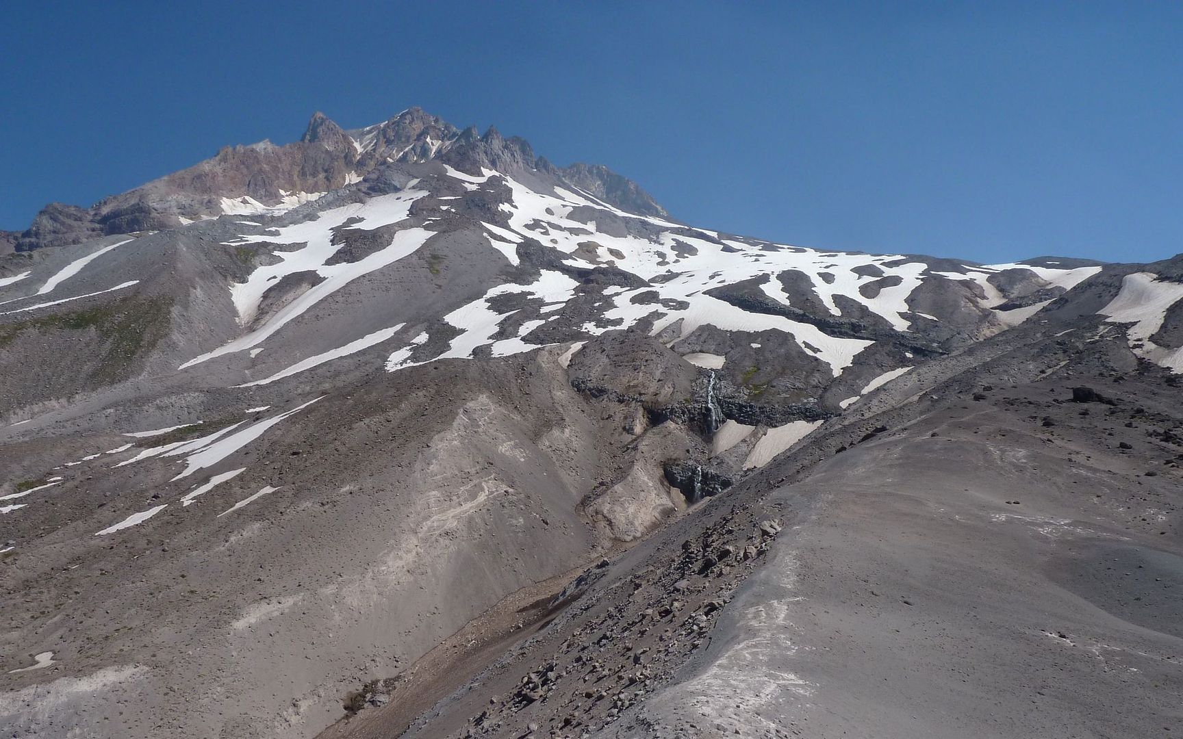
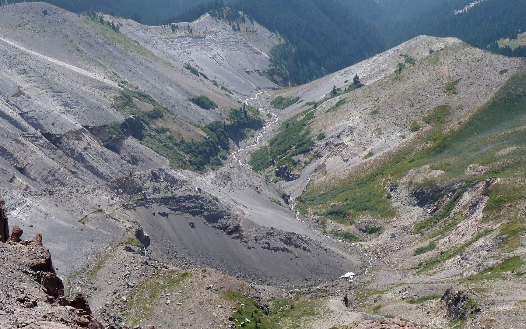
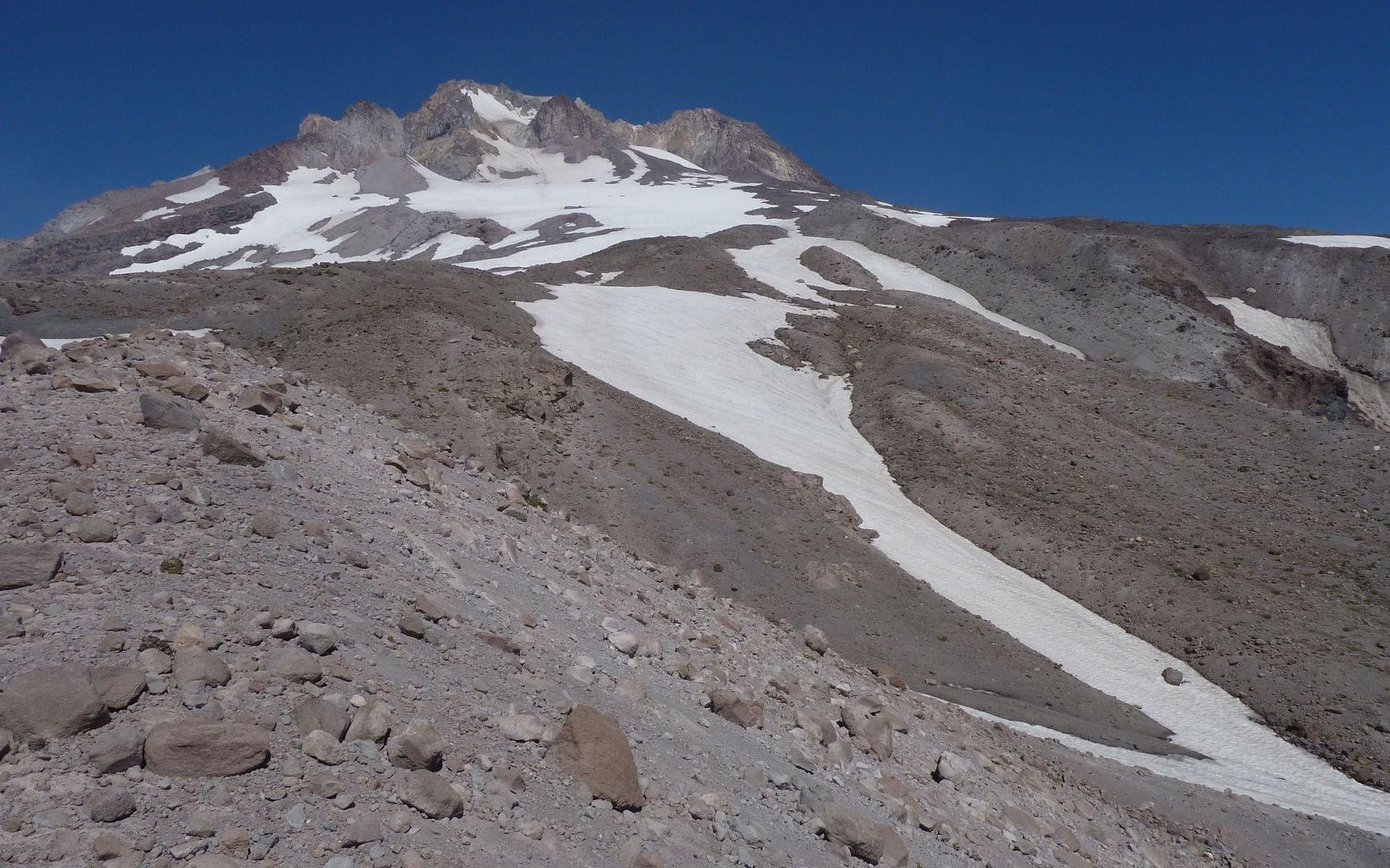
When I arrived at the Zigzag Canyon viewpoint, my Goal#2 for the day came sharply into view!
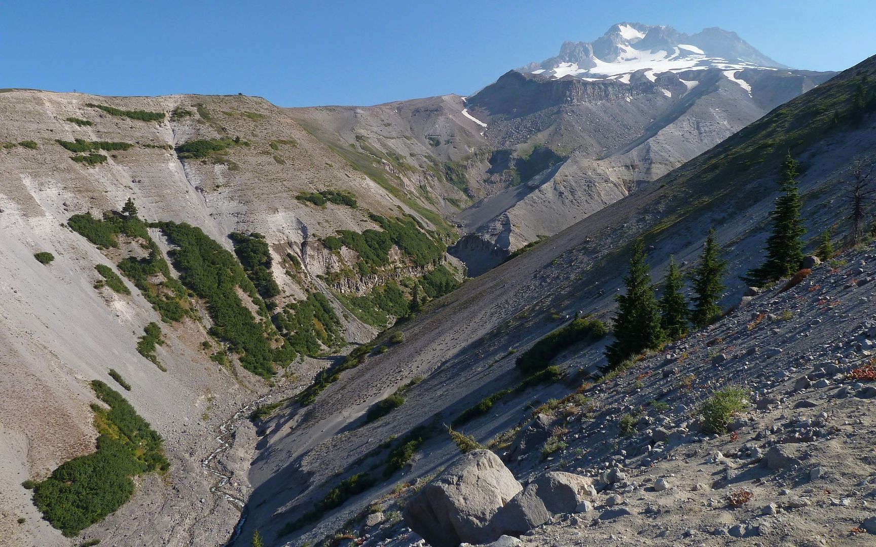
Zigzag Canyon
I sized up the intended traverse, roughly along the ridgeline from left to right
Hope to find a bit of history at low point (of high cliffs) on right, below Illumination Rock
Hiking to Paradise Park involves dropping about 1200' down into the Zigzag Canyon, from your starting elevation at Timberline, then bouncing right back up again. Apparently, some folks really dislike that, but the trail on both sides was extremely well maintained, shaded, and at times just downright nice.
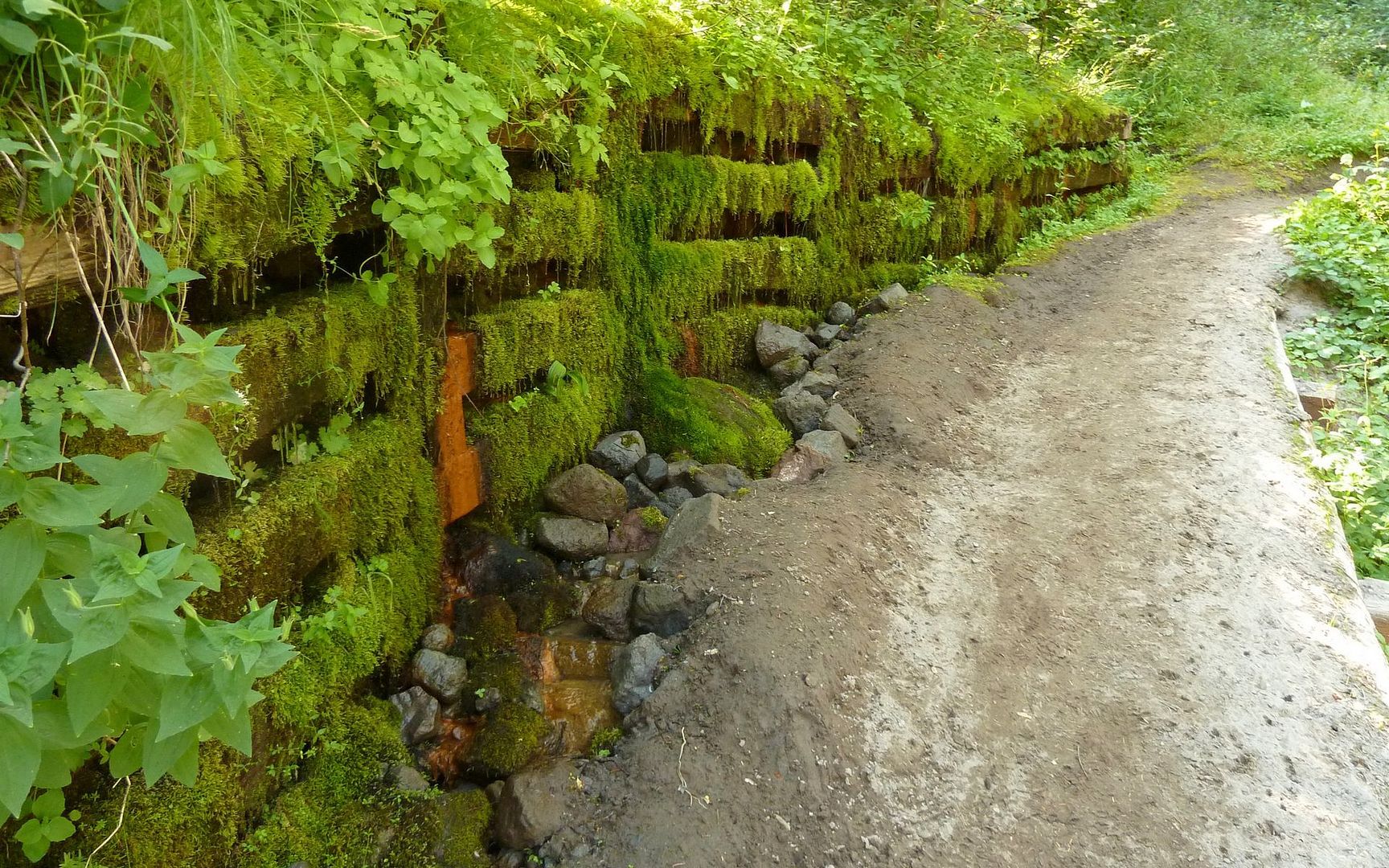
Retaining wall holding back a spring-induced slide
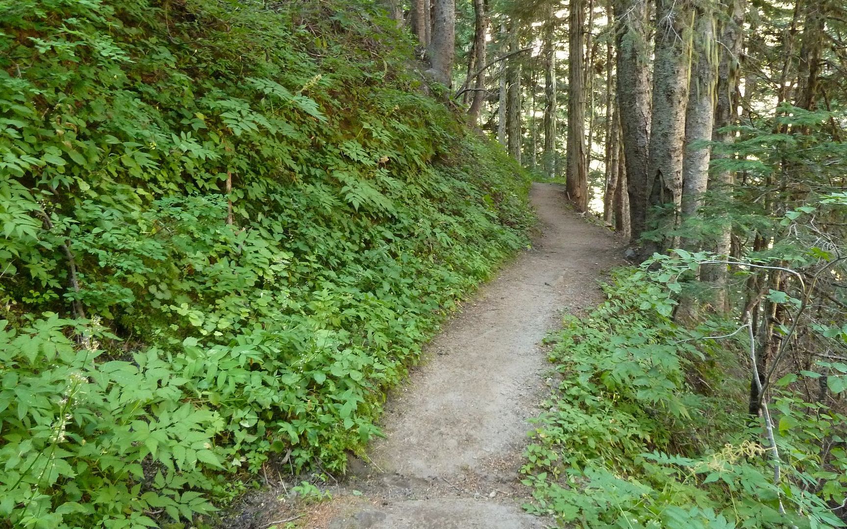
Gentle trail down into canyon
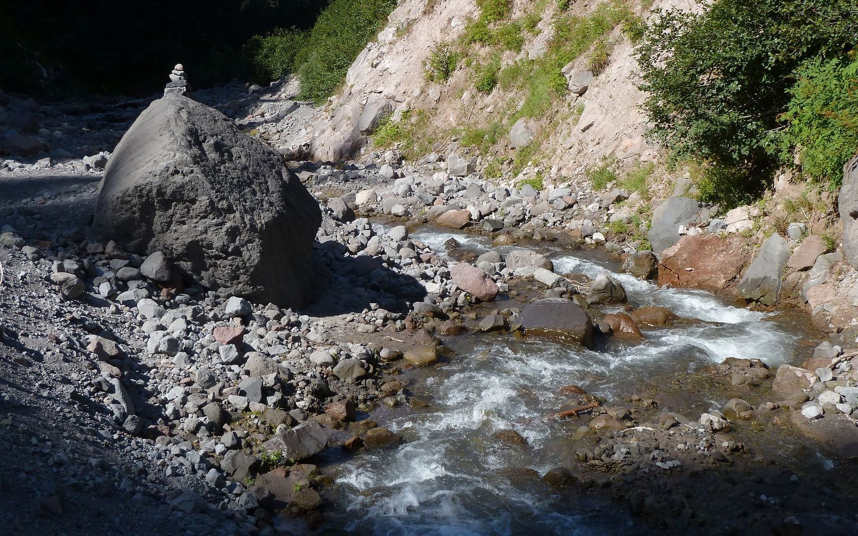
Easy morning crossing of the Zigzag River
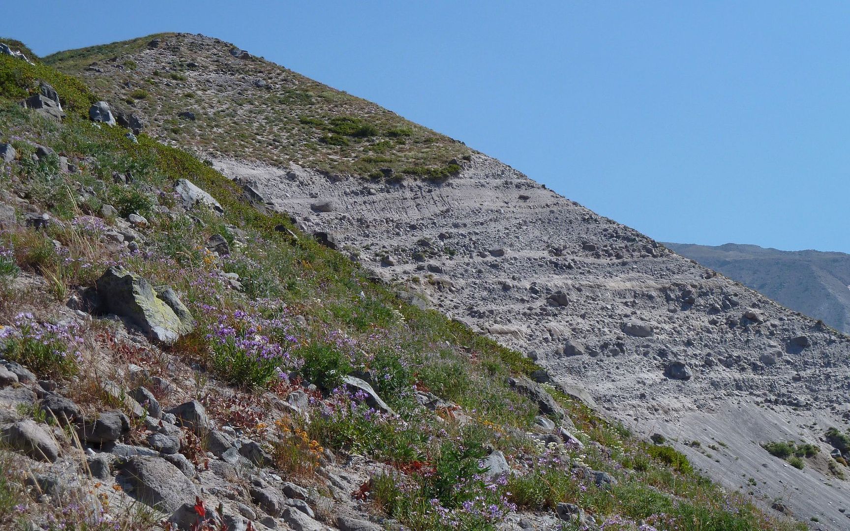
Striking pyroclastic layering in eroded hillsides
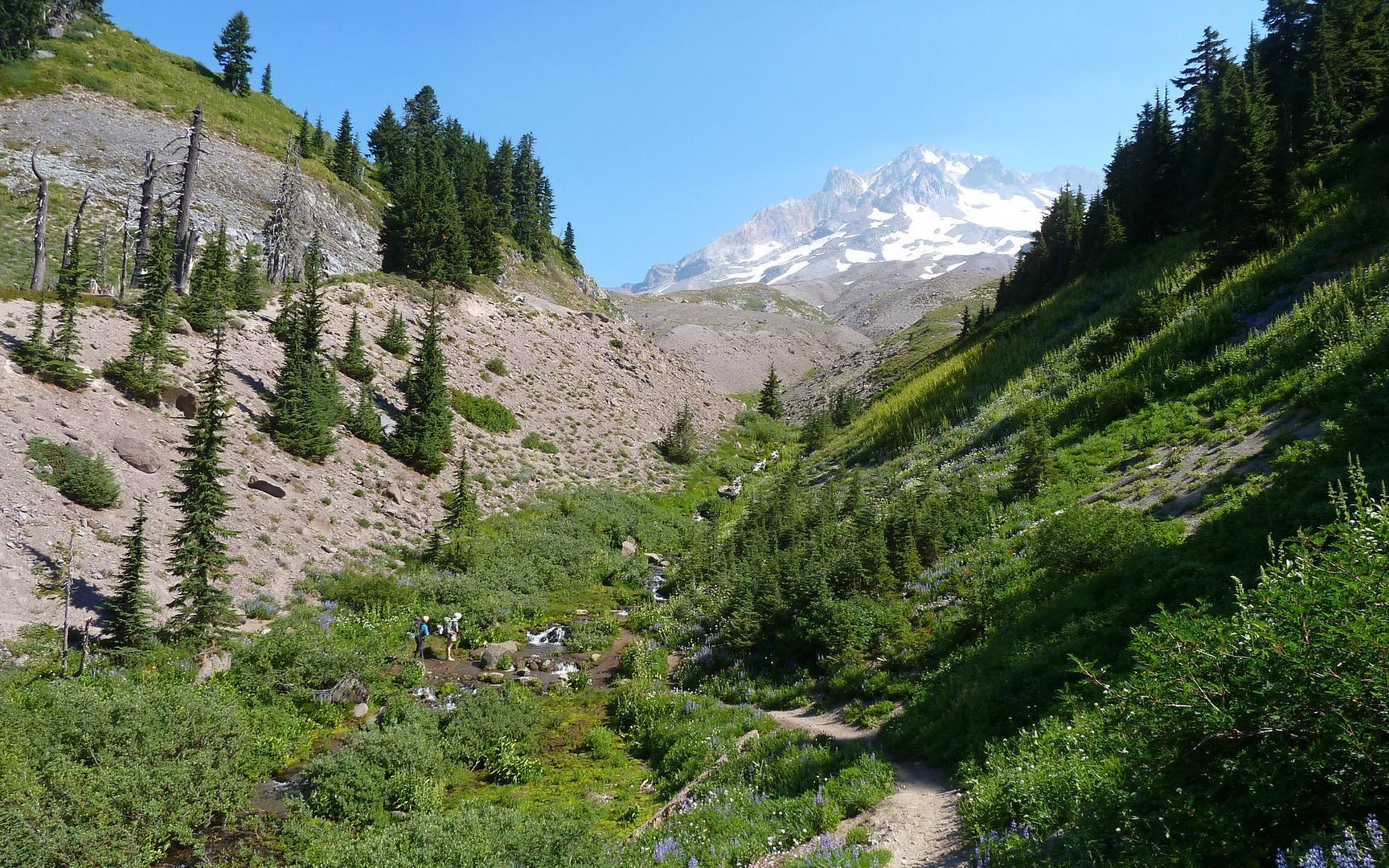
And, almost before it seems time, you hit a trail heading off towards the peak with a sign pointing to Paradise. Definitely not the PCT anymore, as the shrubbery closes in a bit, and the grade notches up a percent or three. After 15 or 20 minutes, you start breaking out of the woods...
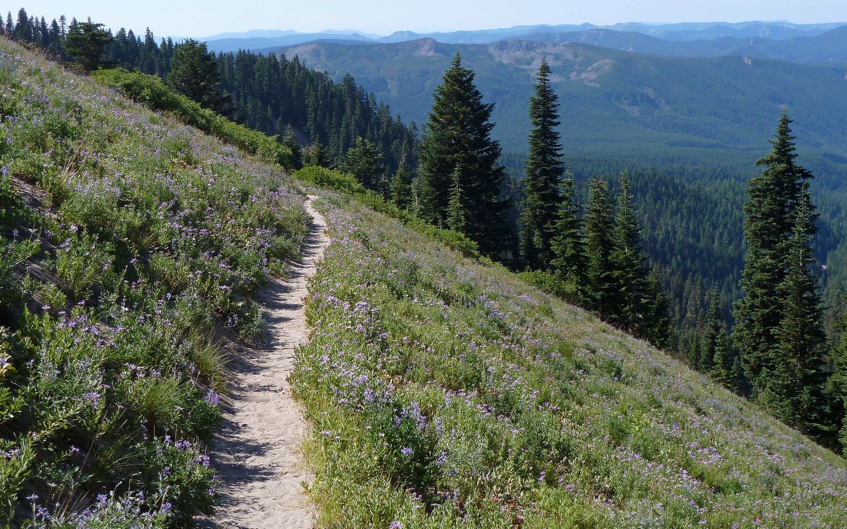
Looking back down the trail to Paradise
If this is the welcome mat...
Cue Julie Andrews...
Signpost where the "official" trail (#778) arrives from south
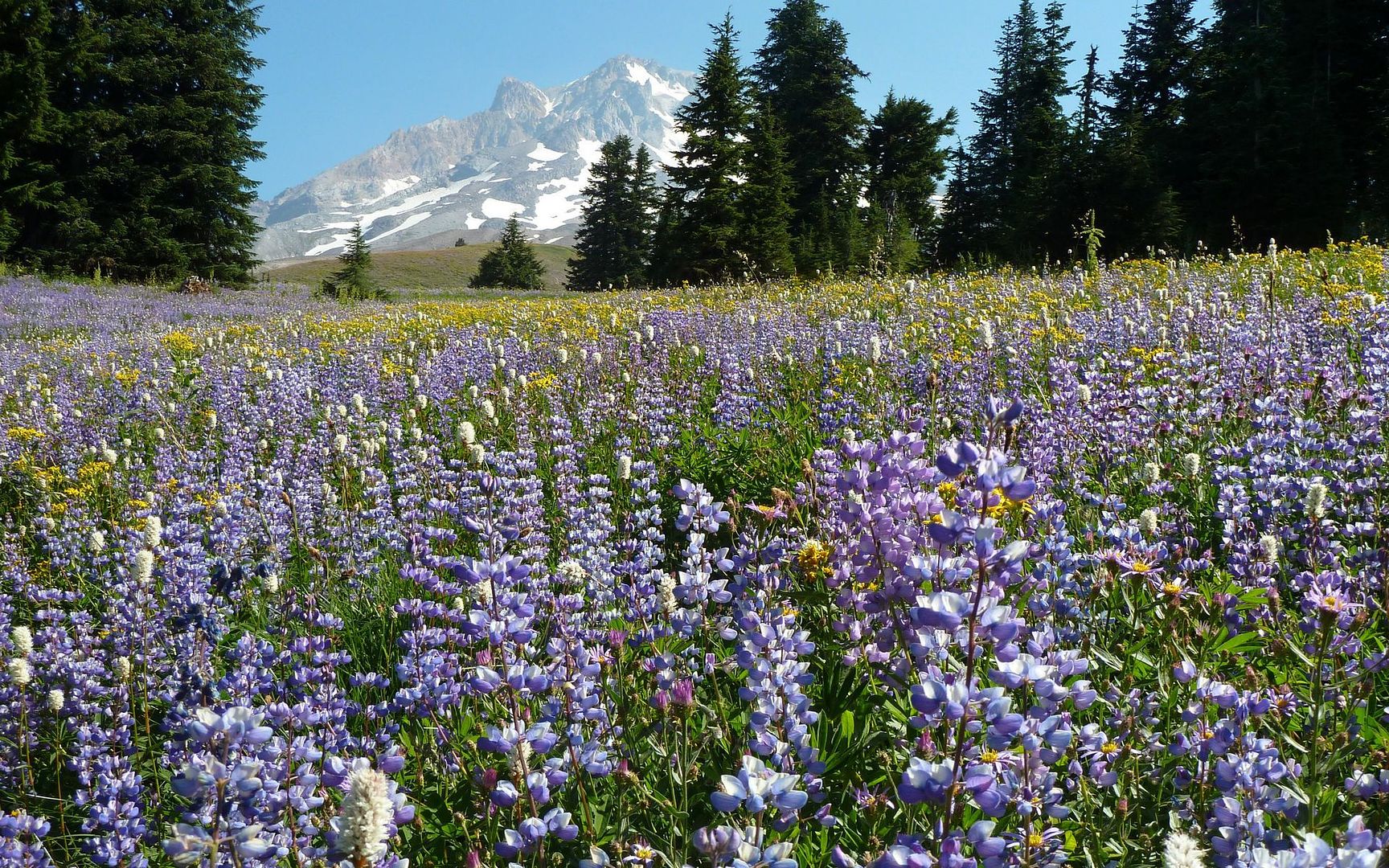
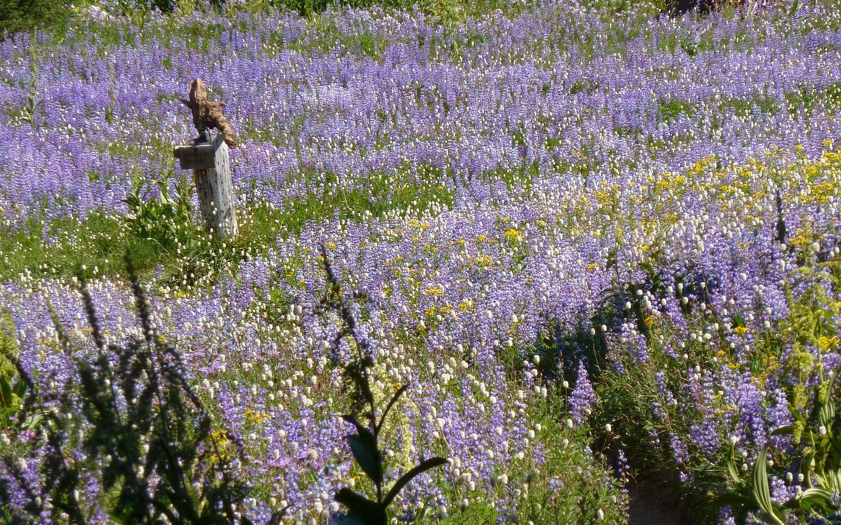
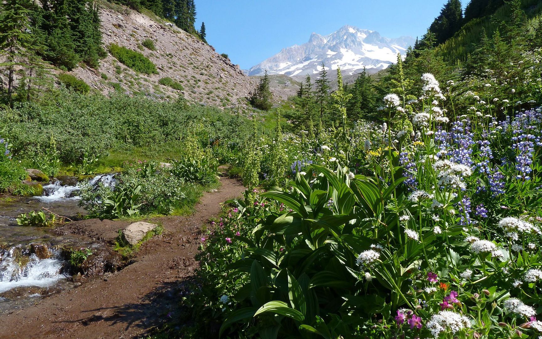
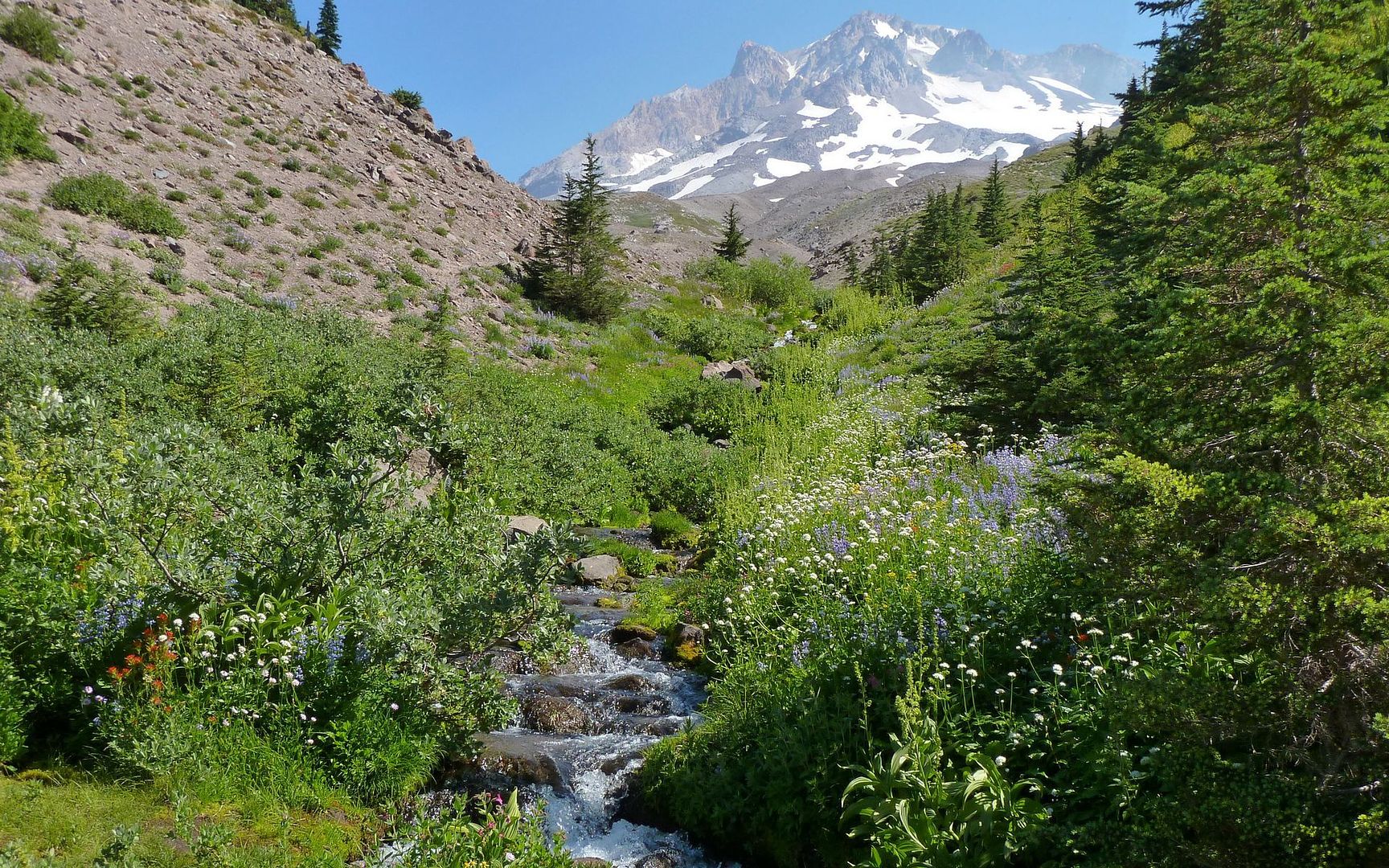
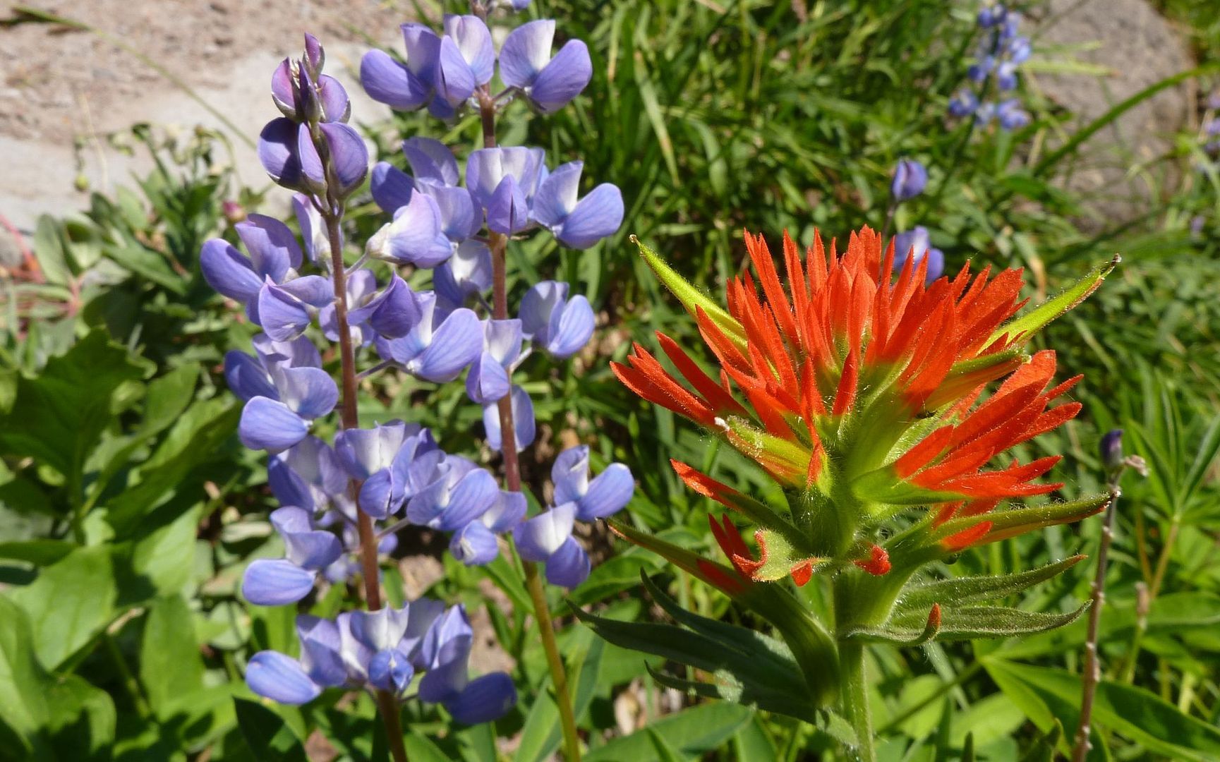
This is where bees got the reputation for being busy!
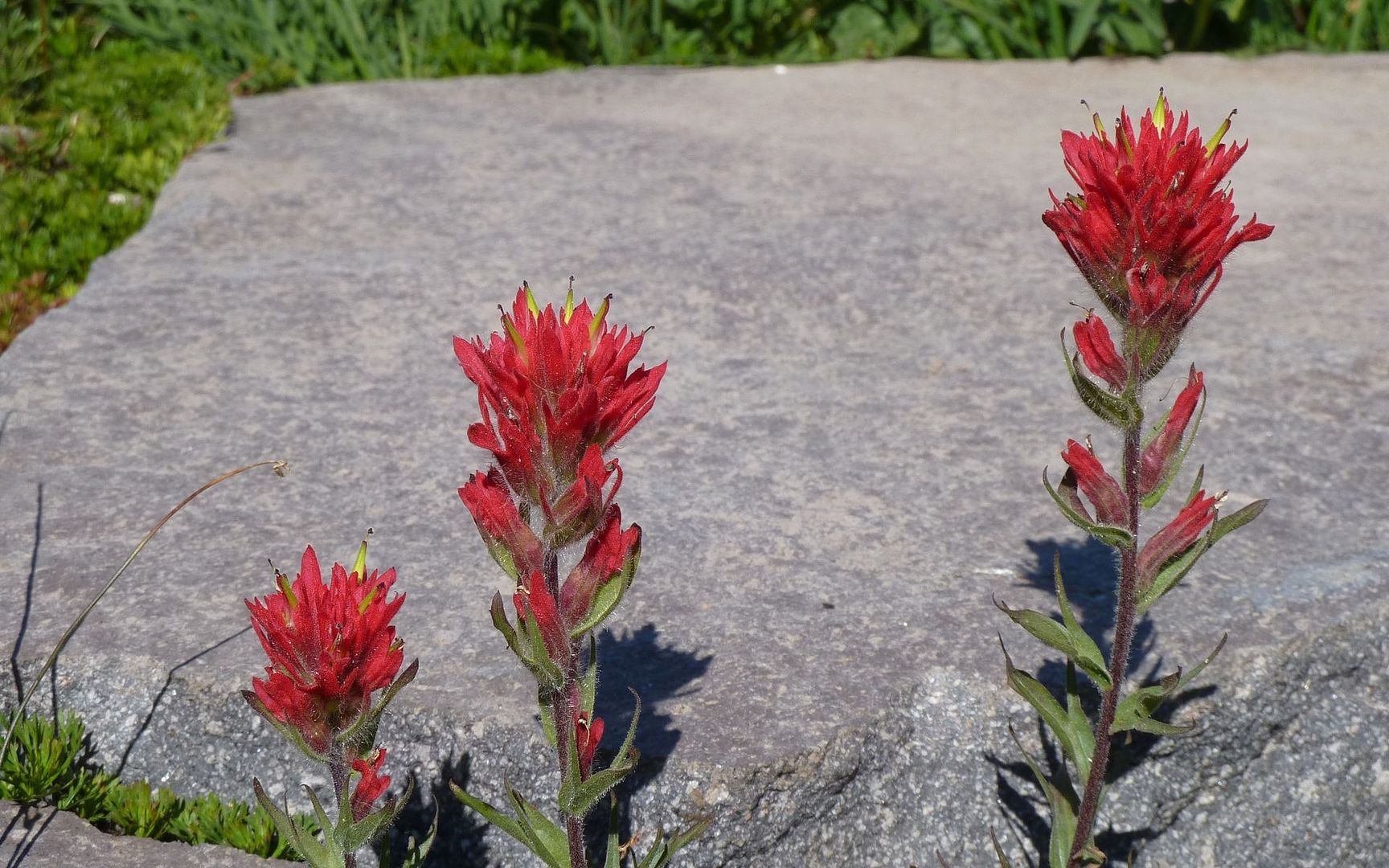
The hills were alive with purples and yellows, with smatterings of white mixed in, and only a few reds here and there.
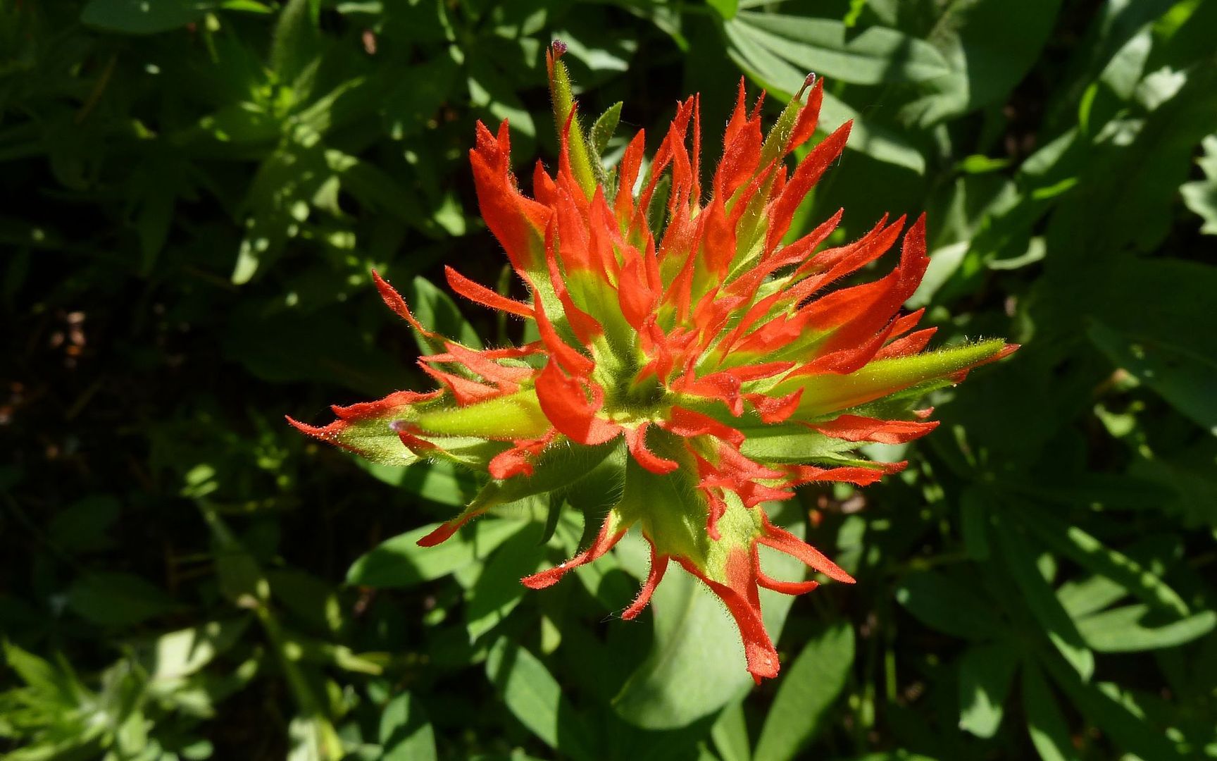
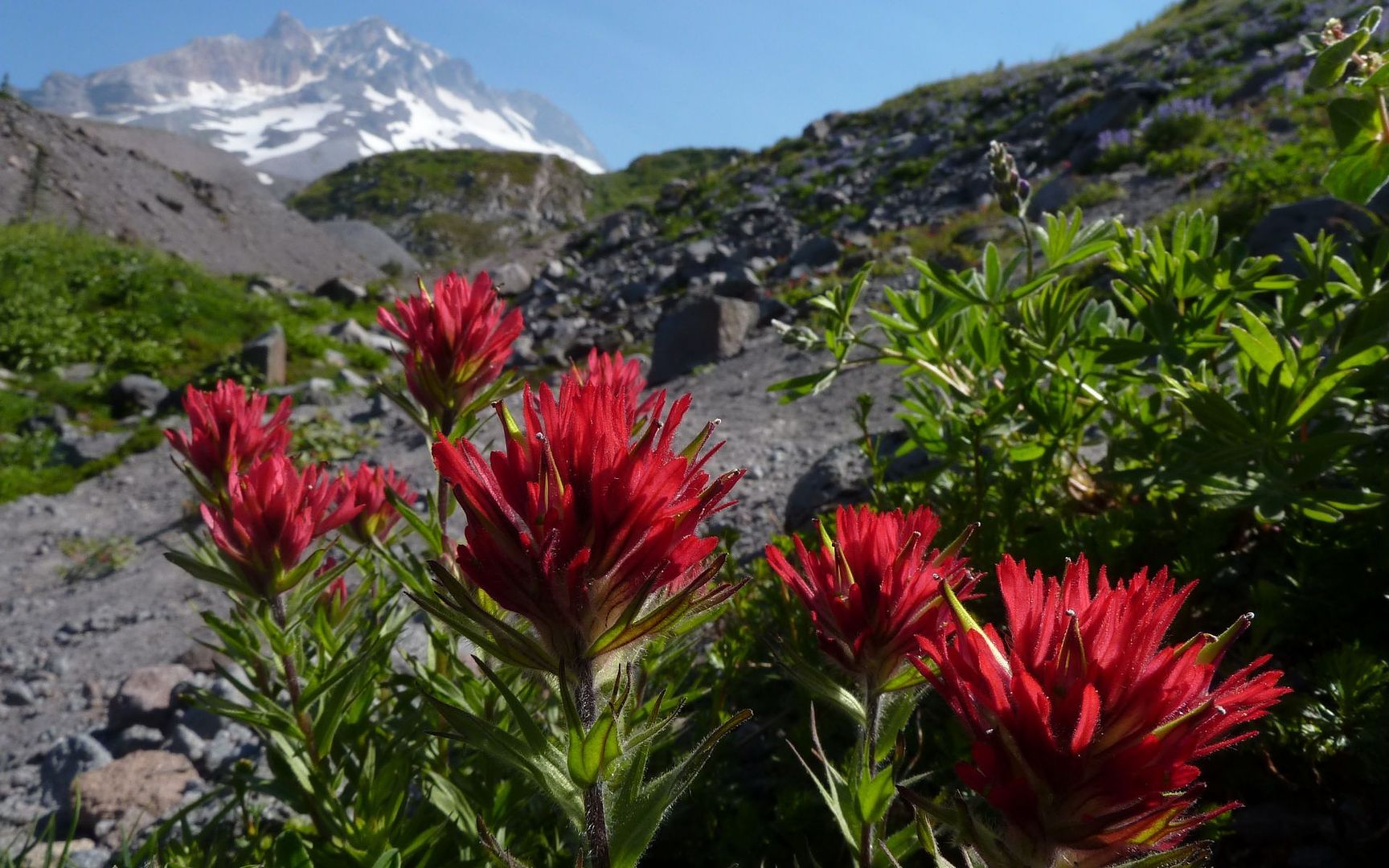
Standard issue Indian Paintbrush
Lost Creek proved to be a technicolor feast of sorts.
Looks a little plain from above
But the intensity grows as you approach
and grows
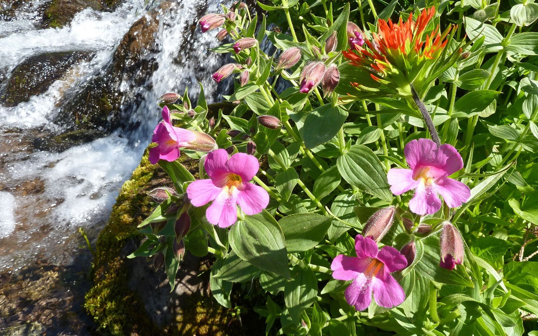
and grows!
Gratuitous subtitle
Then there were the usual assortment of hippies, as well.
I think this is a very non-standard Indian Paintbrush? I dunno, it just seems so much more magenta than most of the ones (even higher in this post) I see elsewhere?
Totally non-corrected or enhanced color
Honest
Compare and contrast...

See what I mean?
But just as I had entered Paradise so suddenly, so too I was to exit a mile or two later. Who keeps track in a place like this?
Field of diminishing returns
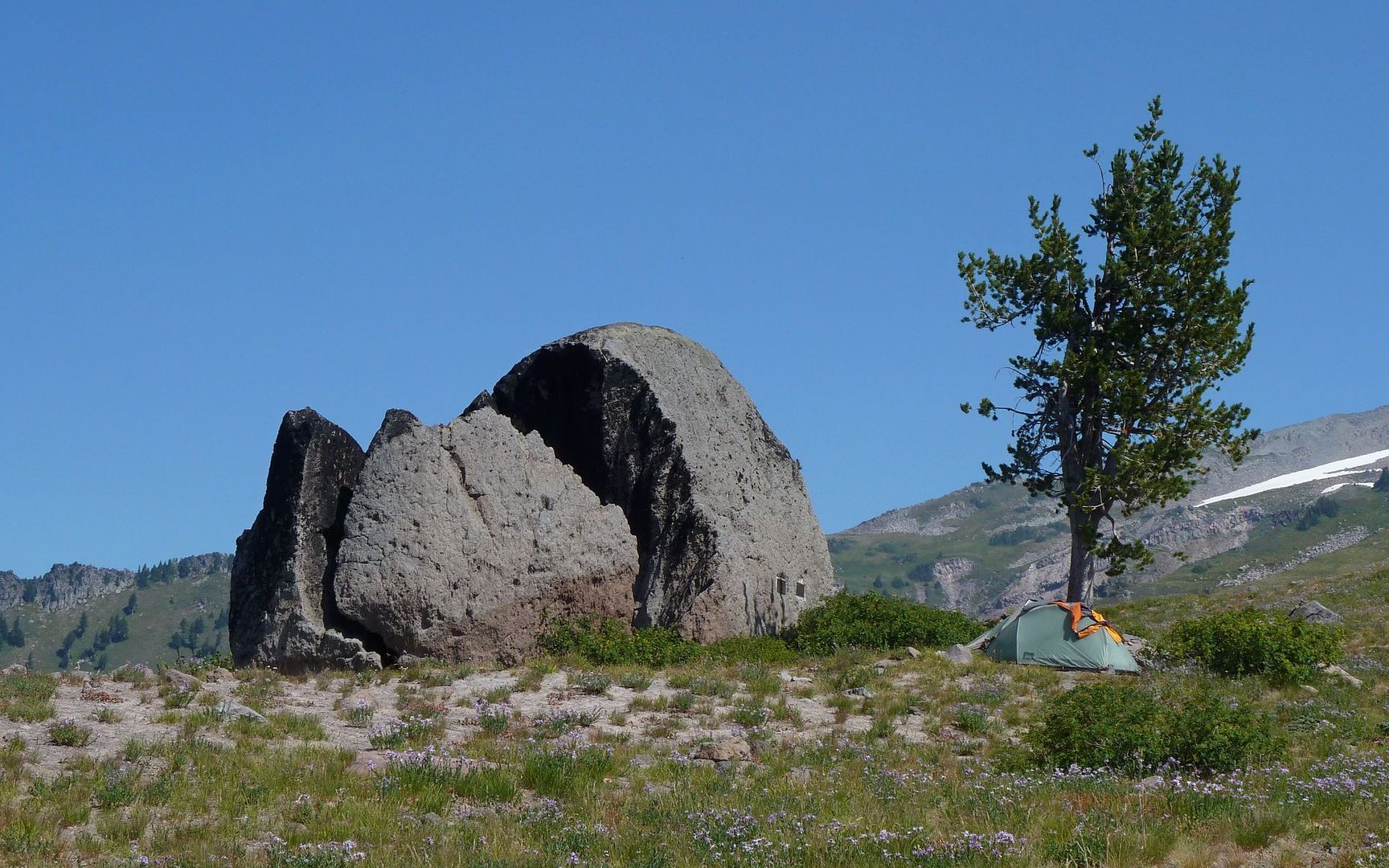
Split rock off in distance, with someone's tent right next to it
Band of hippies rocking out
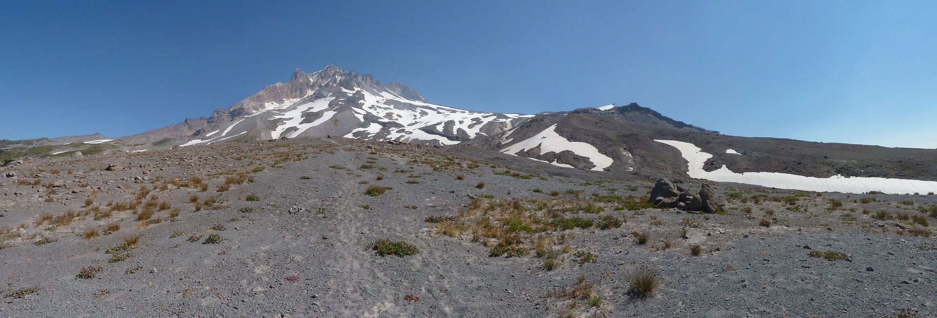
It was all uphill, and off-trail, from here. After recent discussions, there was no decision necessary where to put this post. This is definitely not a trek to undertake short a few clues!
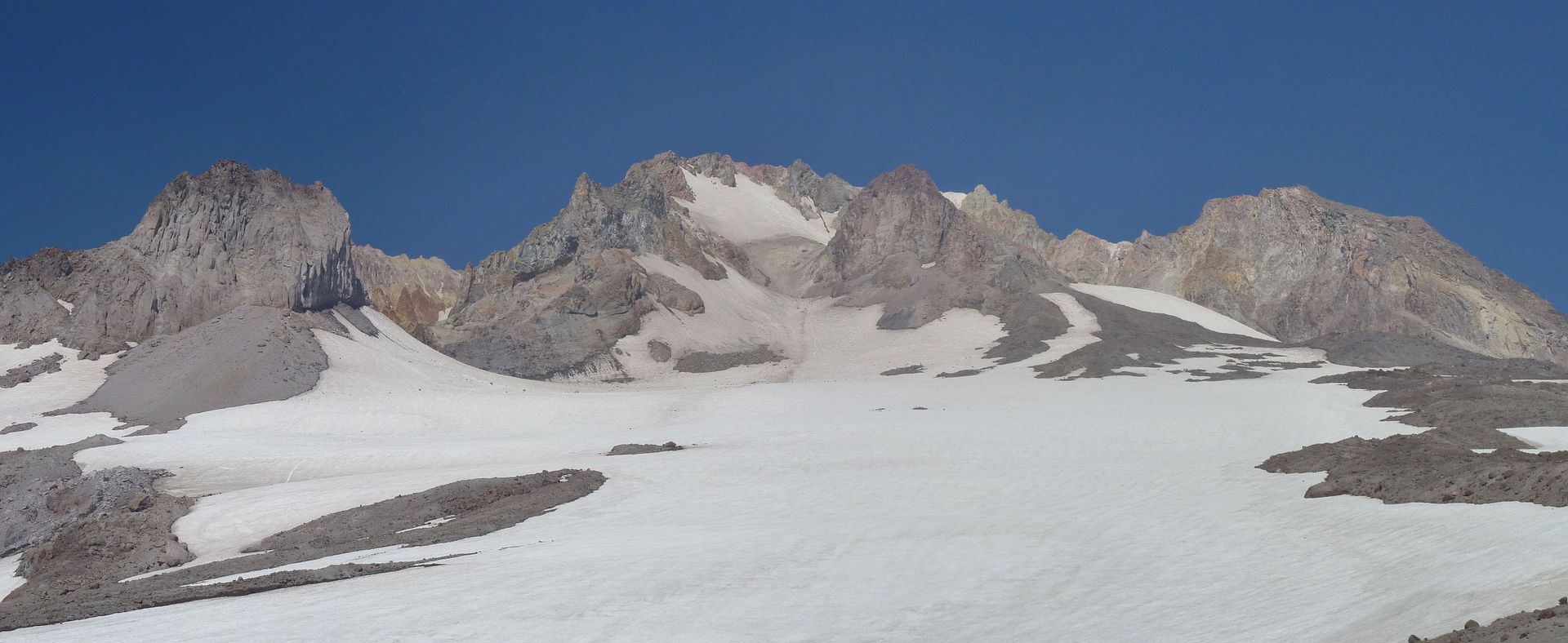
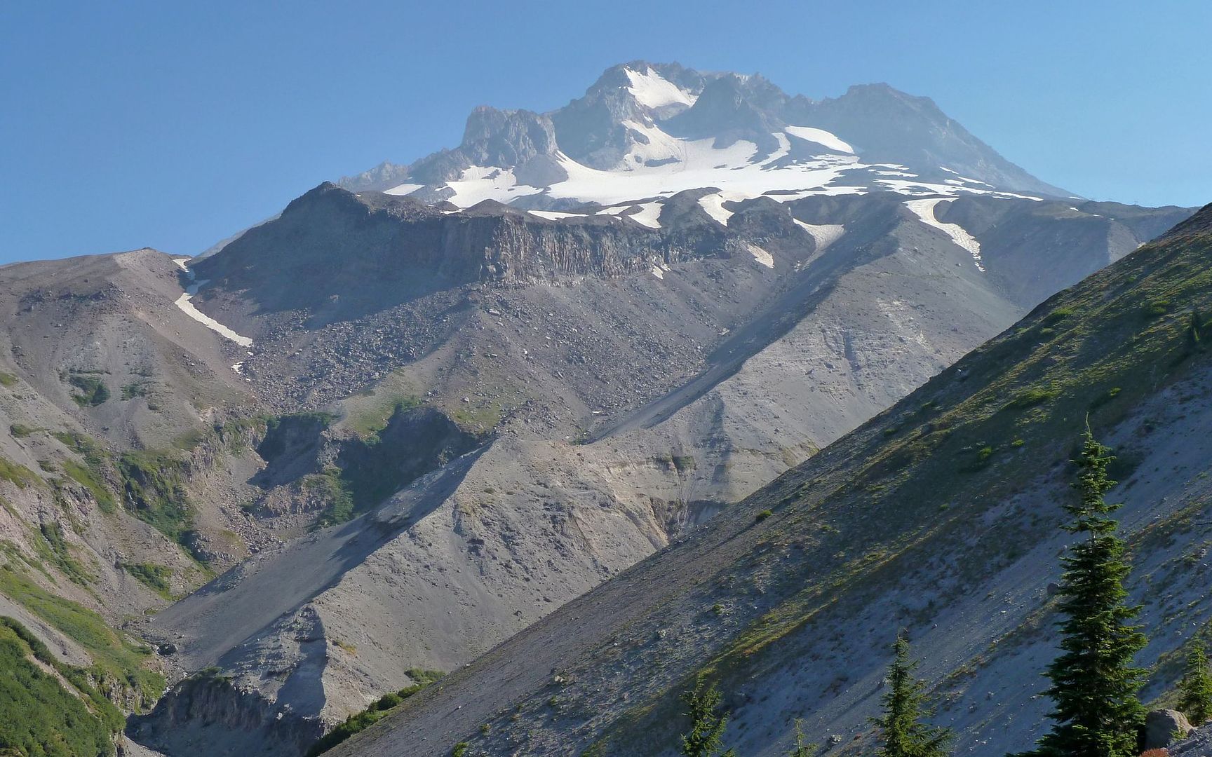
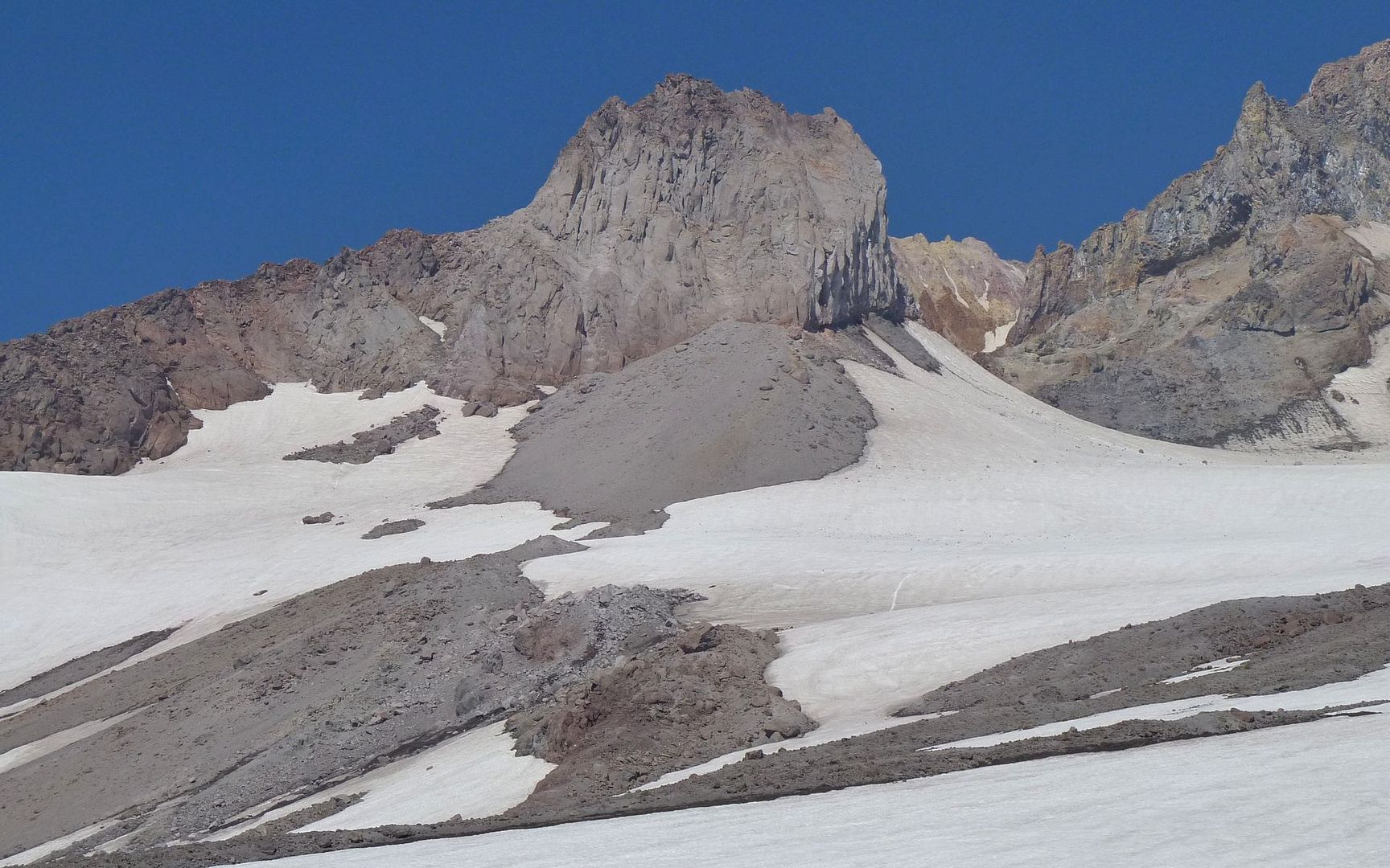
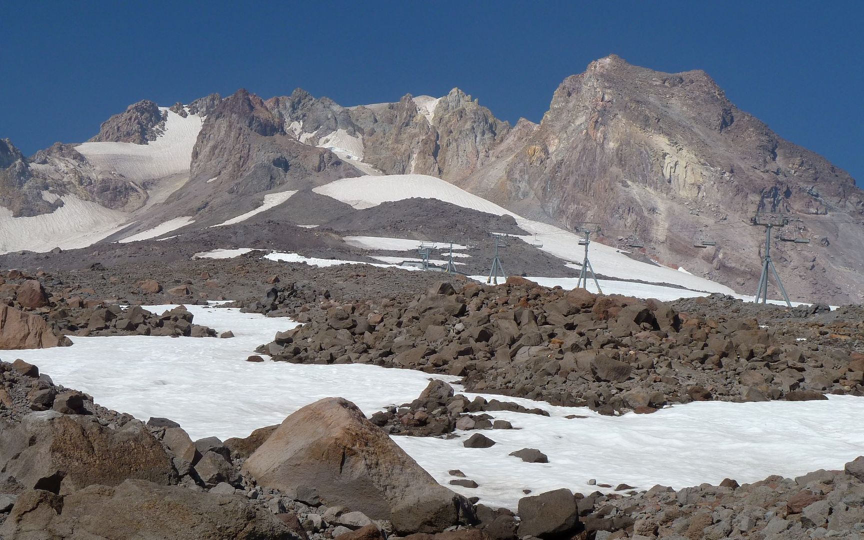
Looking up the ridge leading out of Paradise Park, and across at the cliffs of Mississippi Head
Is that the Reid Glacier on the left?
Source of the Sandy River
Source of the Sandy River
Paradise is just above dead center. Footsteps lead up ridgelines to here.
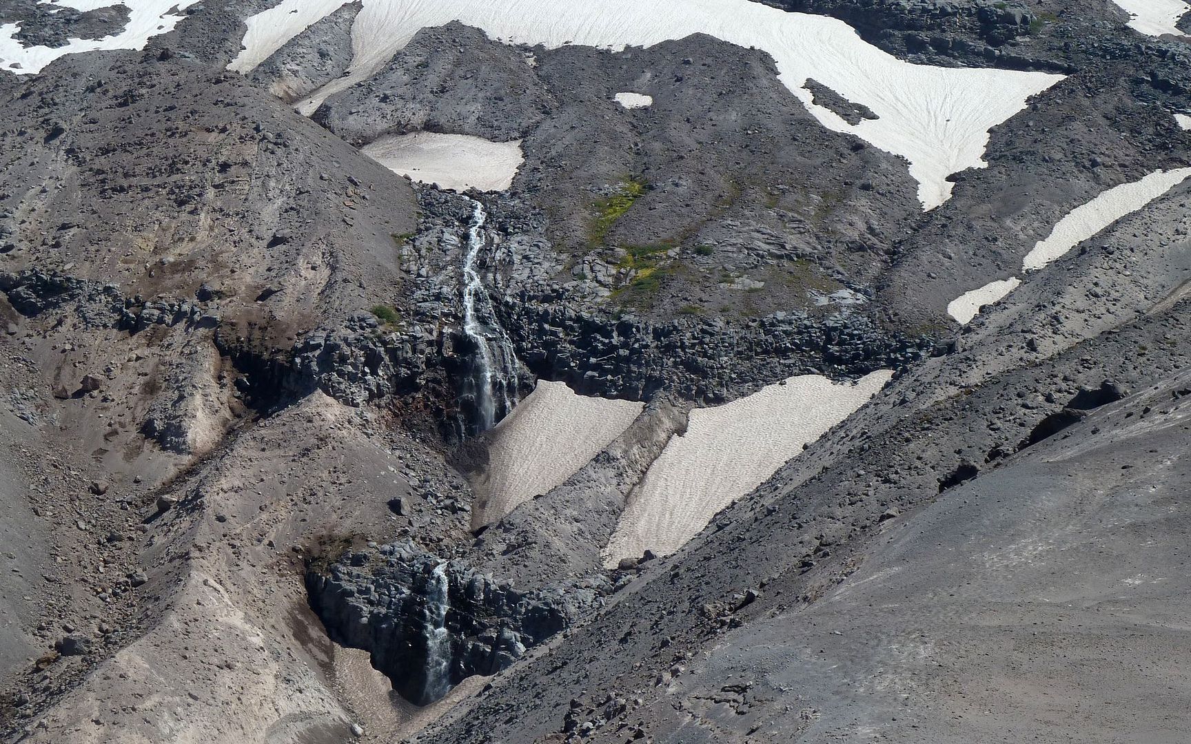
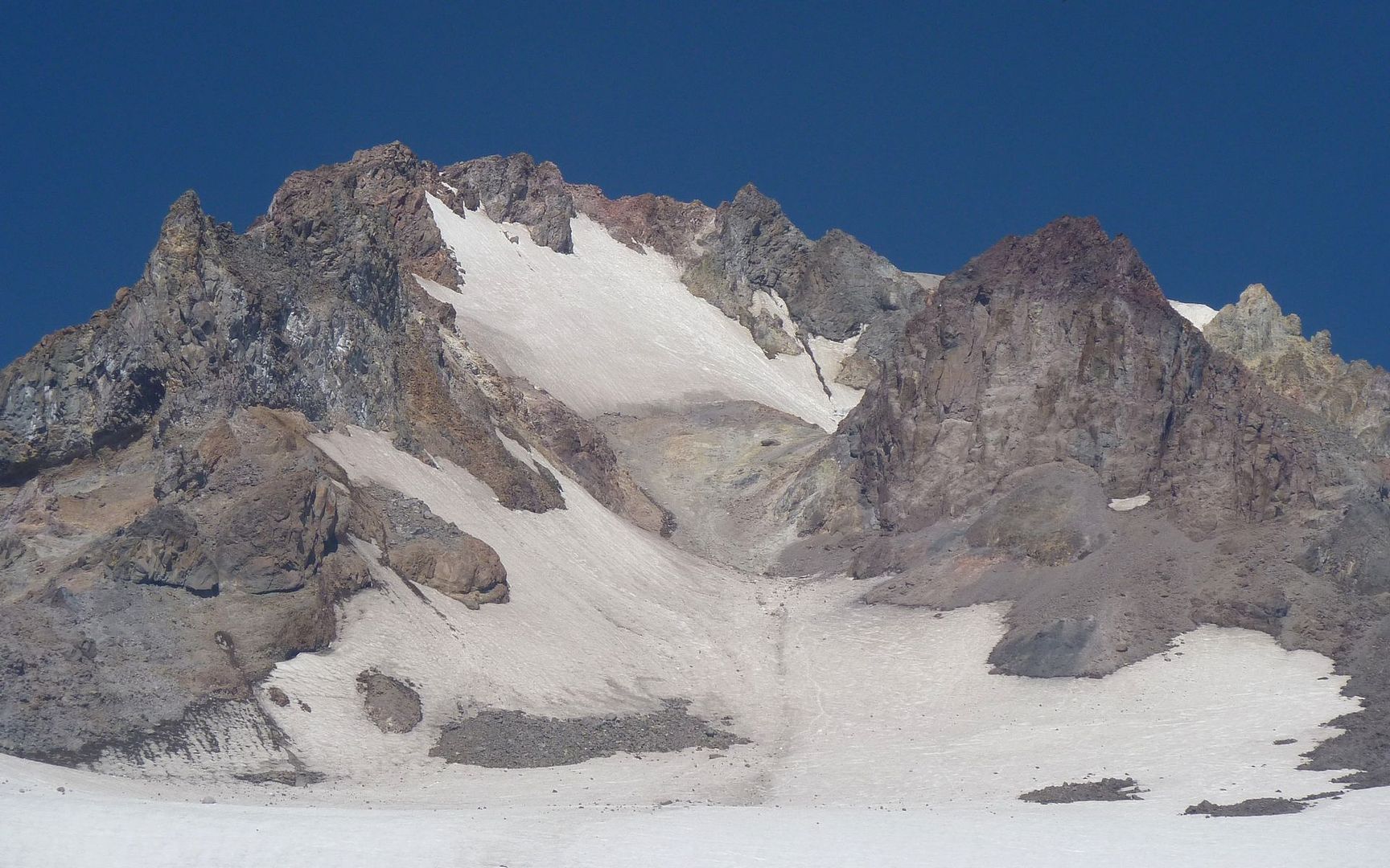
At this point, it's starting to get a little dicey. The snowfields are fairly steep, and the rock is about as unconsolidated as gravity allows. Climbing up the hillsides can easily set loose the boulders above you, so climbing up the snow is the path of far less resistance. I had bought a pair of microspikes a few weeks ago, and this was the perfect opportunity to try them out!
Scrambling up off the snowfield on this side of large outcrop was rather perilous
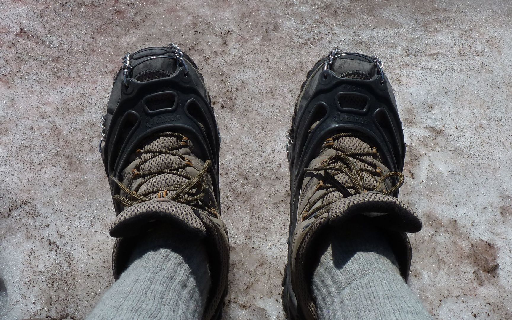
The next big snowfield gave me a chance to try out these guys
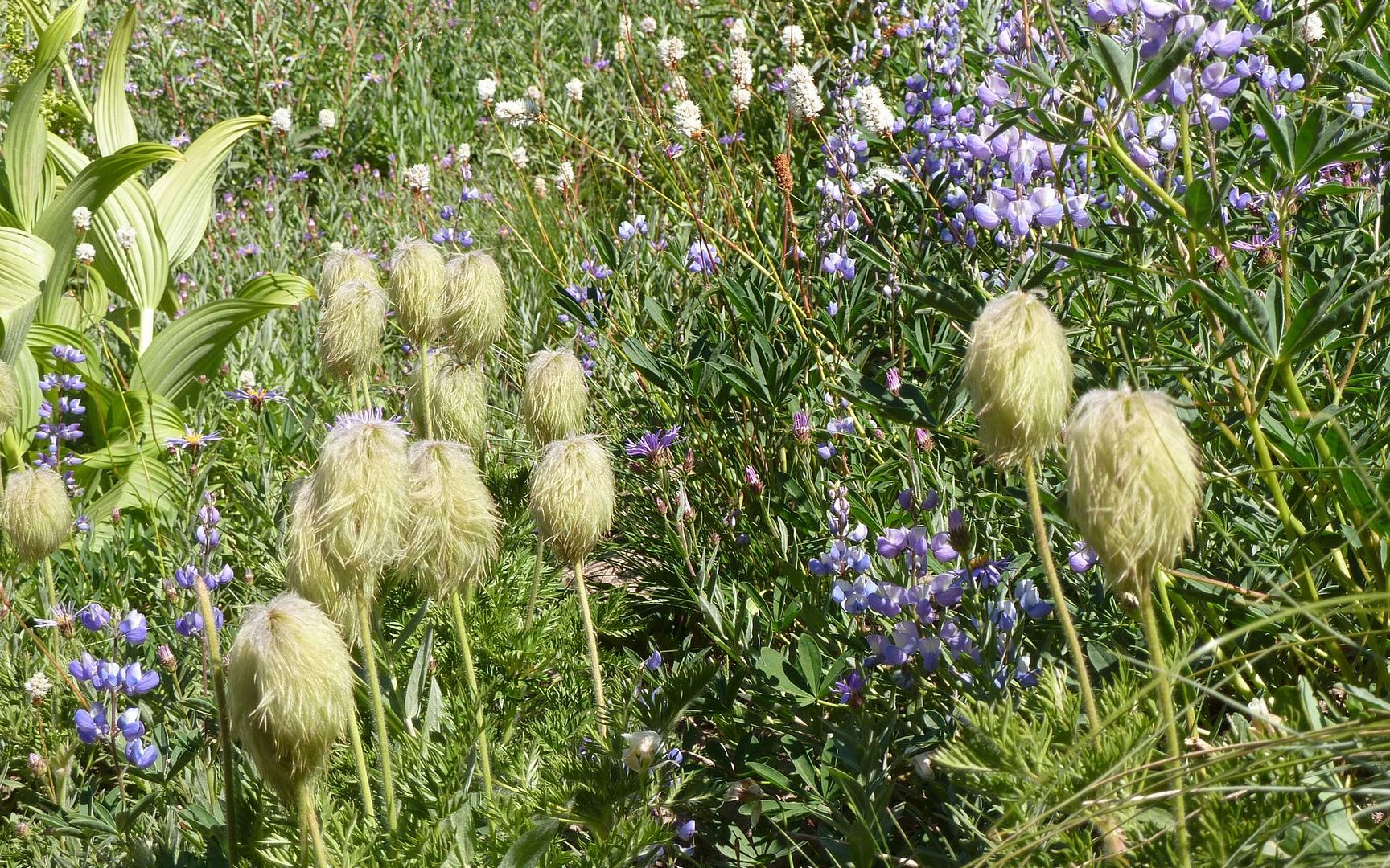
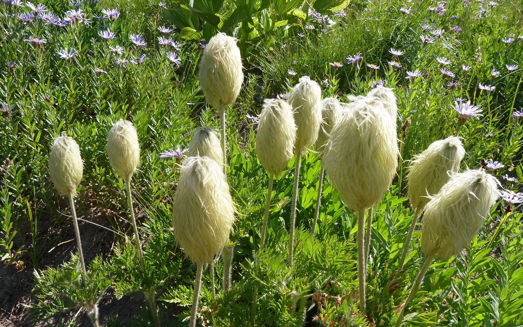
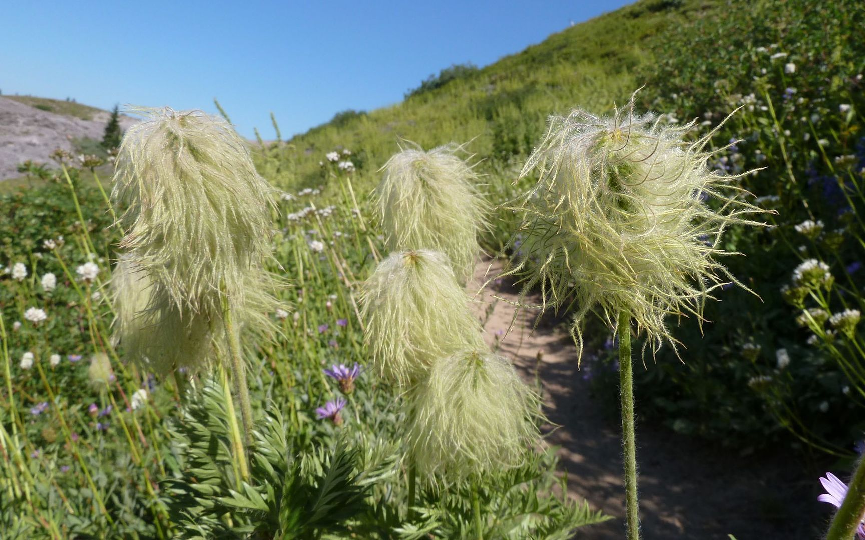
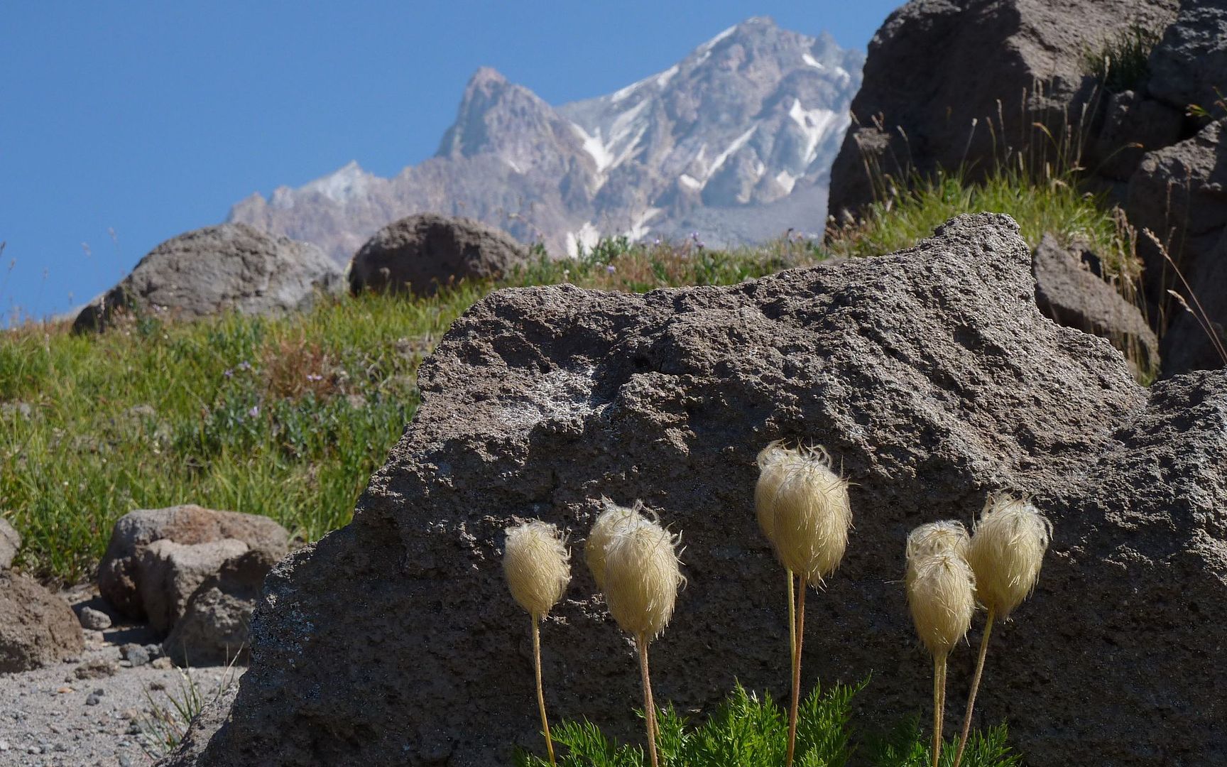
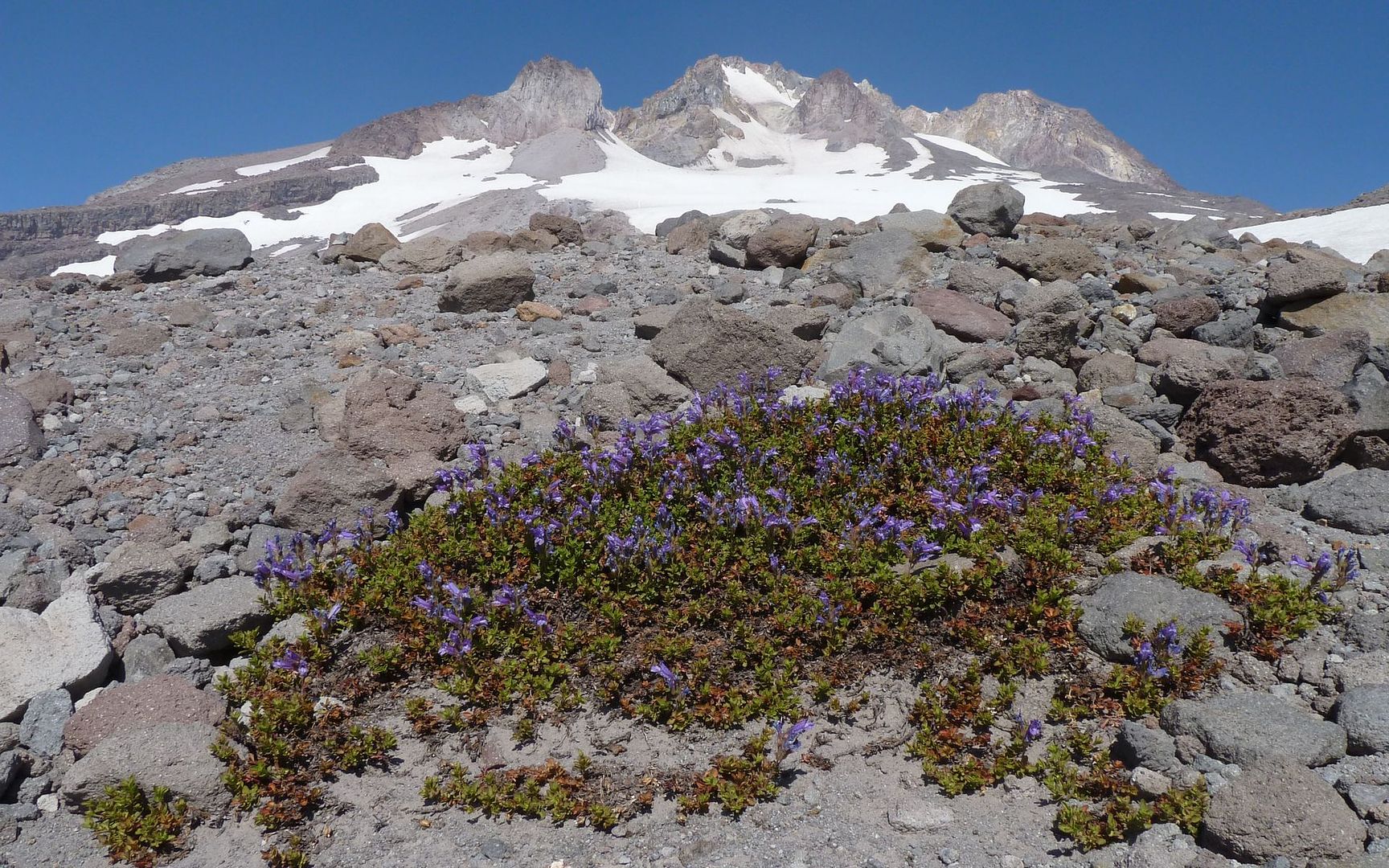
There were still a few flowers, way up here, too!
7415'
7750'
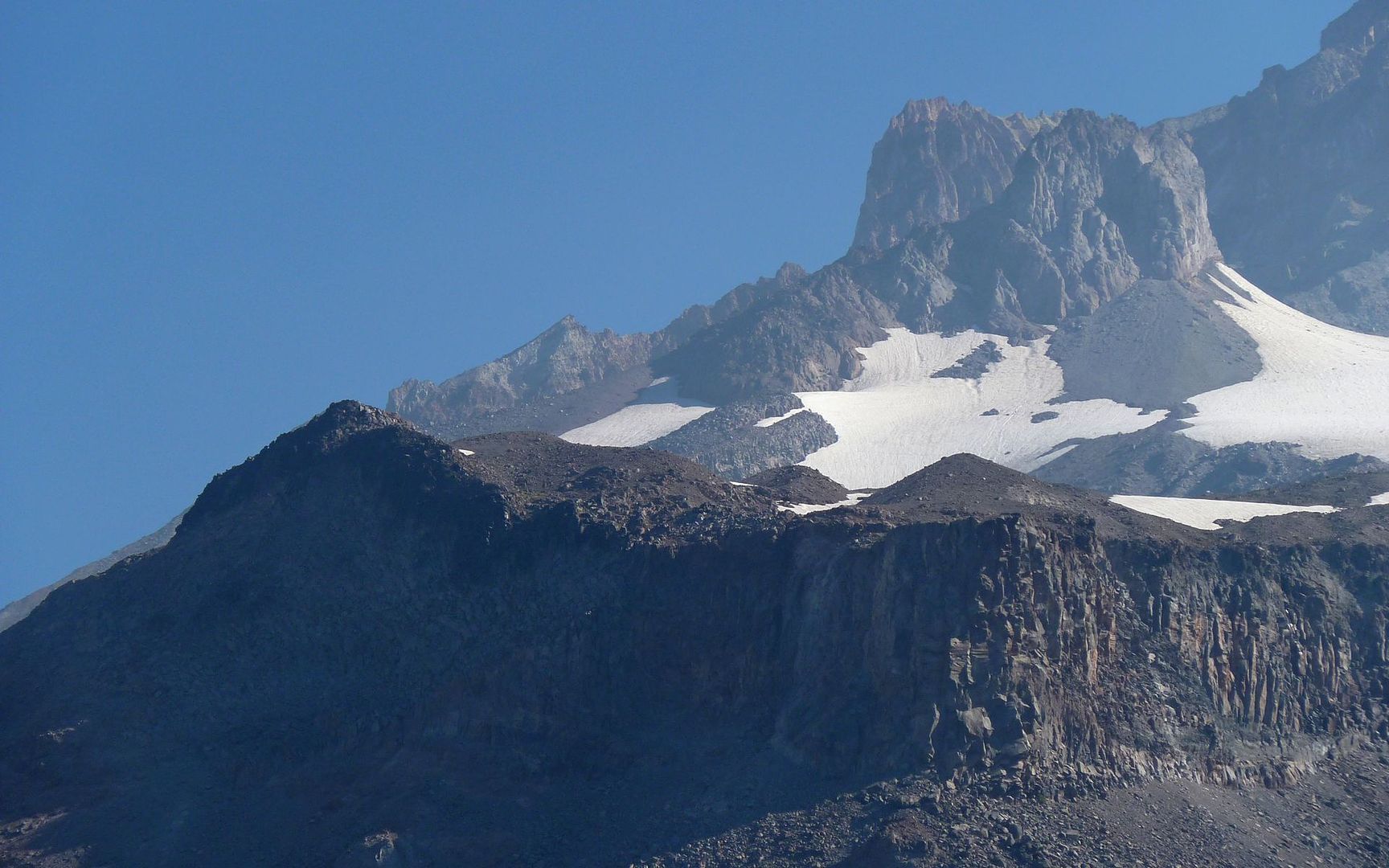
Finally(!!!), I arrived at the cliffs of Mississippi Head! What was I thinking? Holy cow, this was cool in that scary, sure hope I survive, utterly cool kinda way!
Approaching the edge
Into the abyss
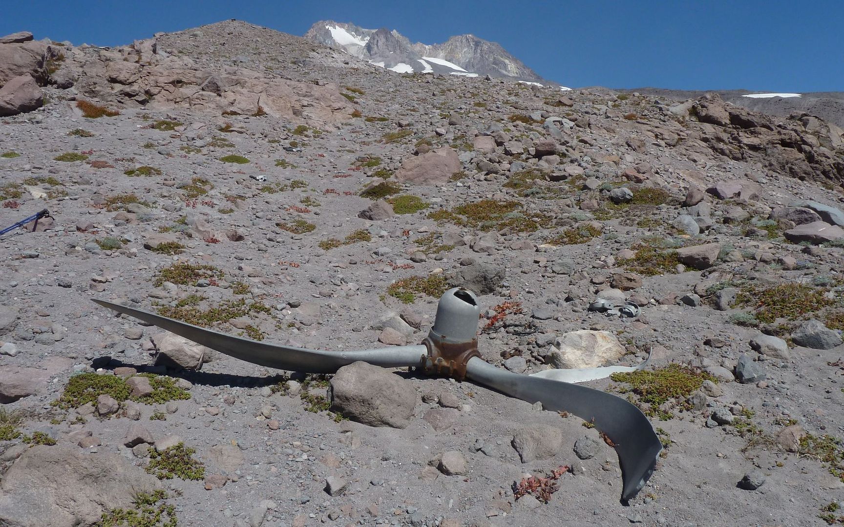
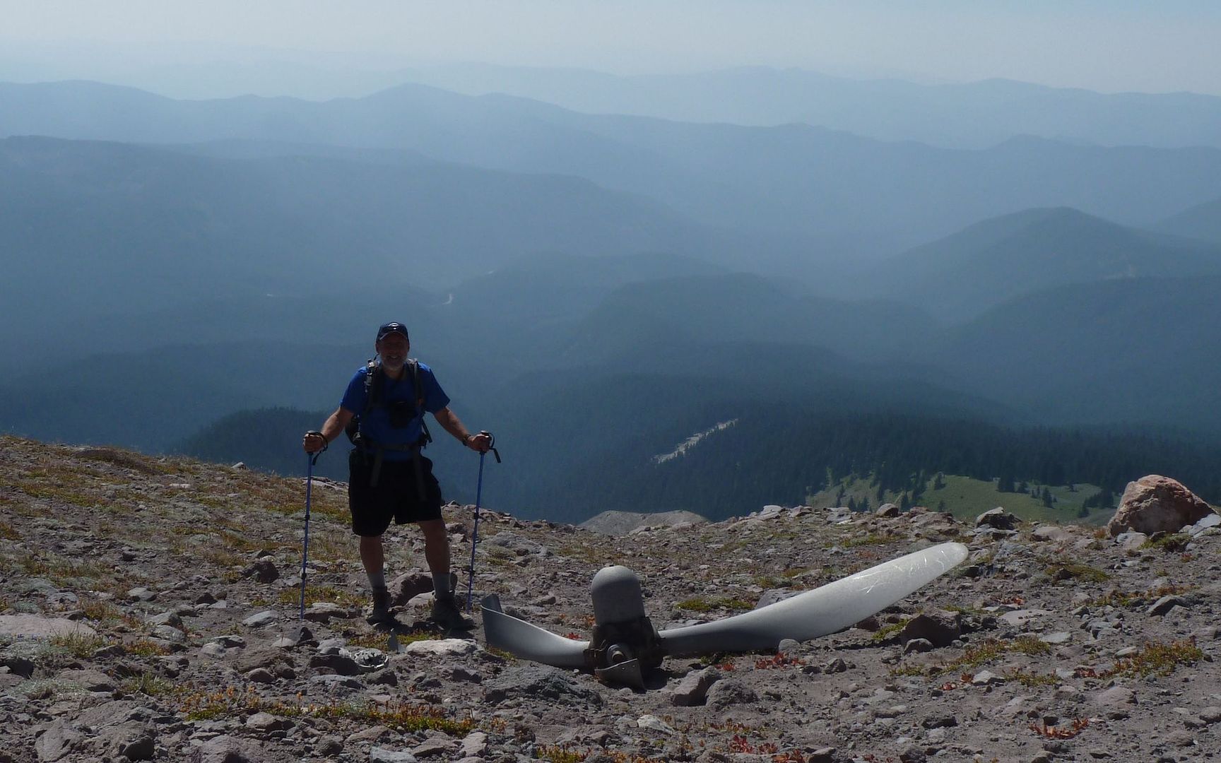
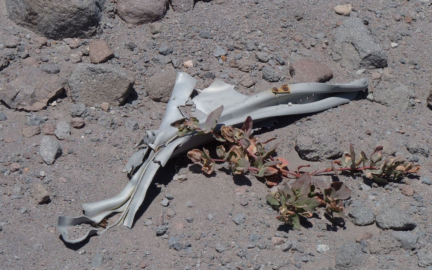
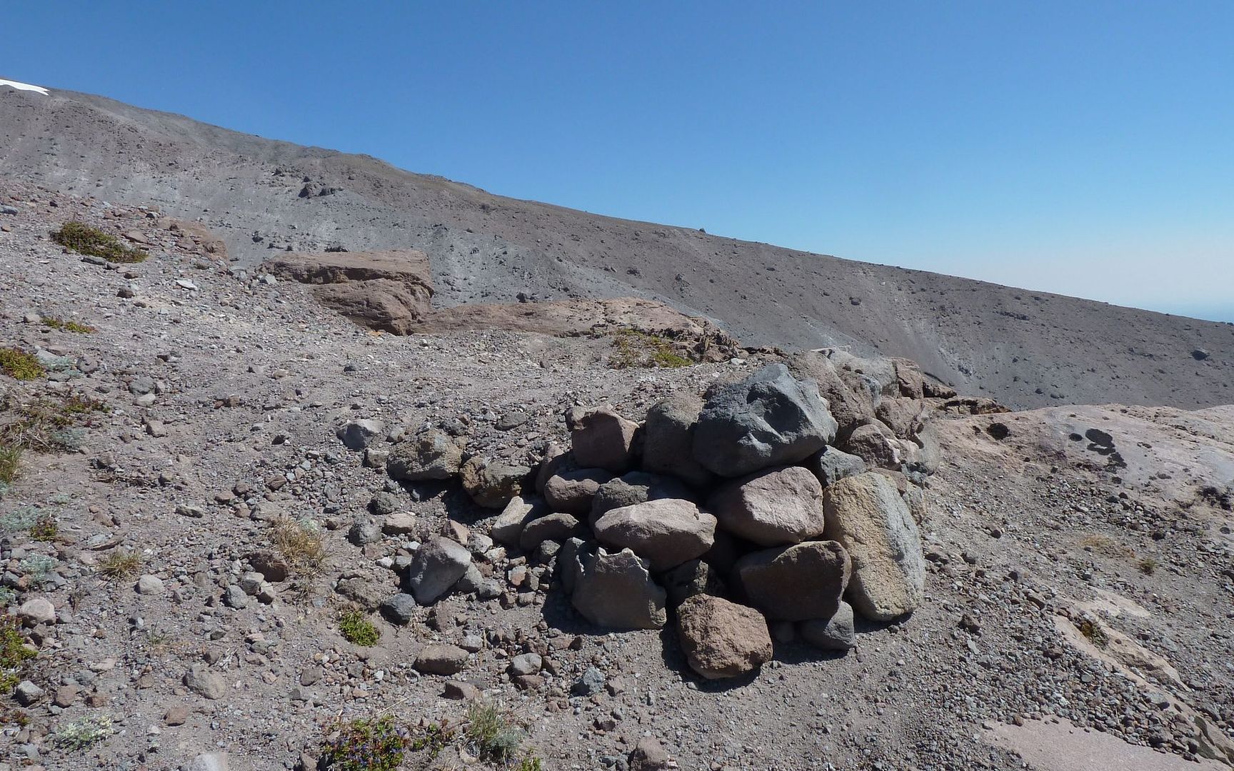
And then, there it was! The propeller from the B-26 that crashed here in 1949. As I looked around, the hillside was strewn with bits and pieces of aircraft. Mostly aluminum, and astonishingly hefty. Many pieces were between 1/4 and 3/8" thick!
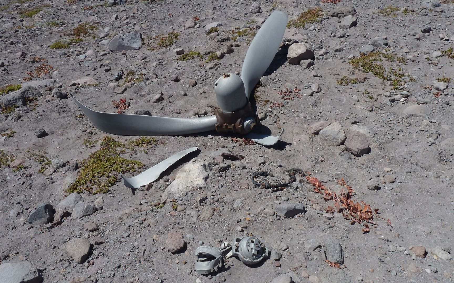
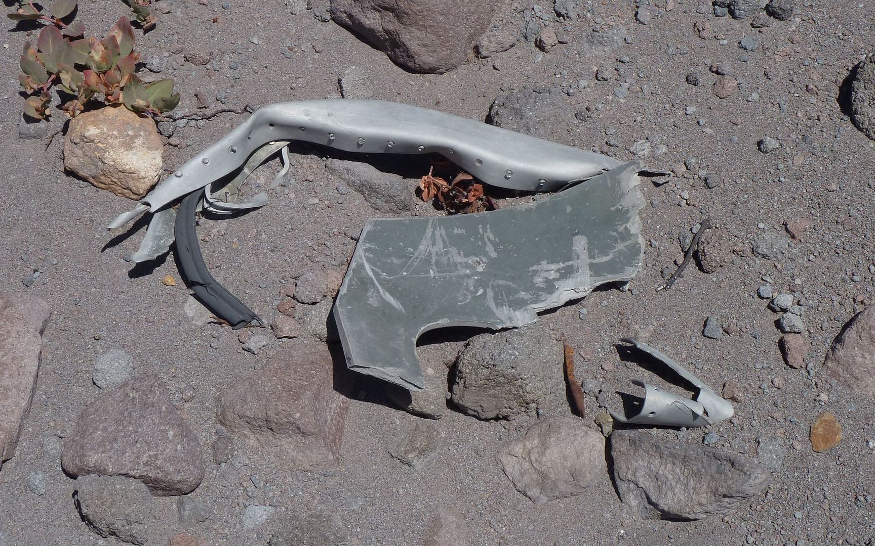
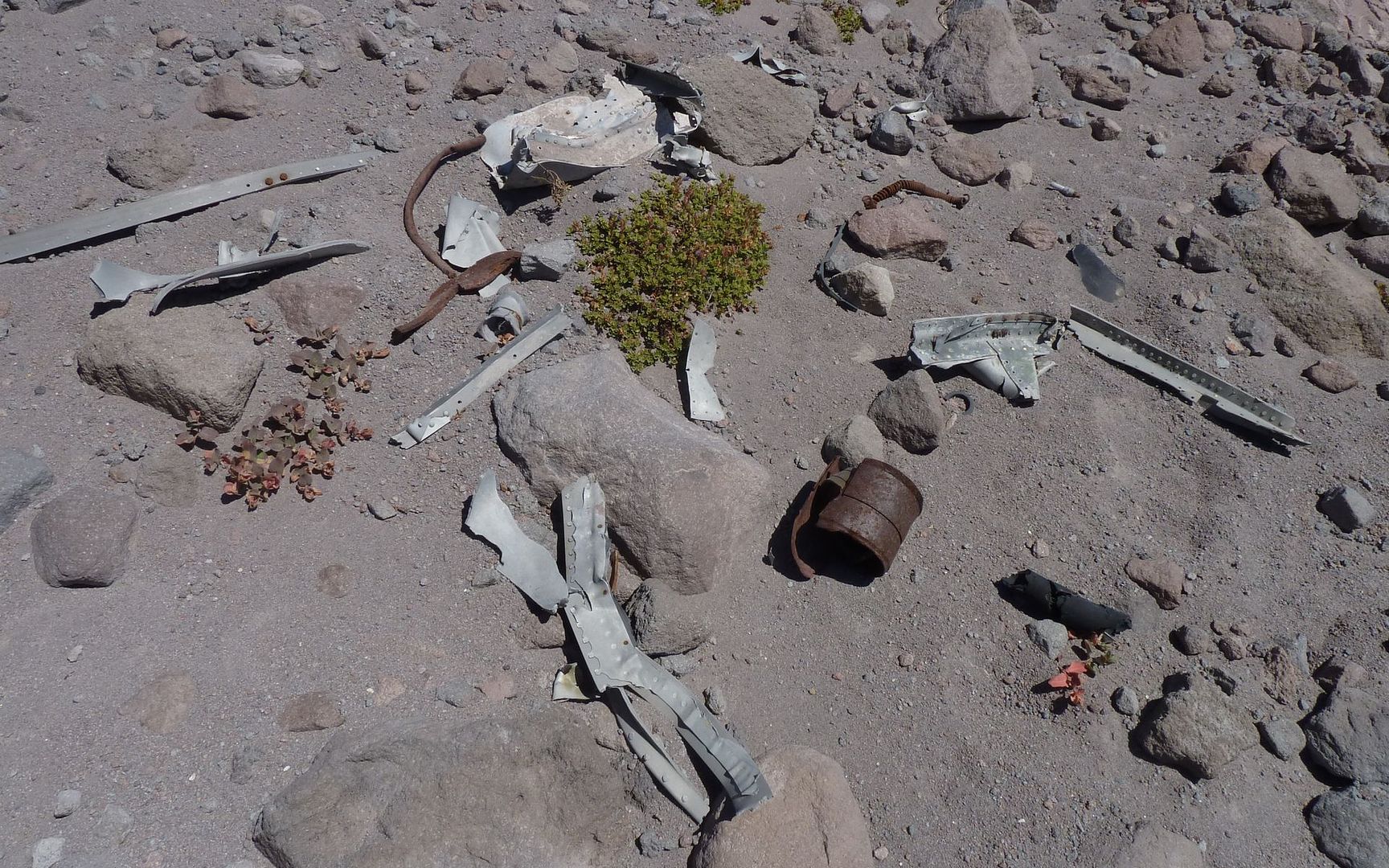
Peder told me there was some more wreckage just 100 yards this way:
I took his word for it
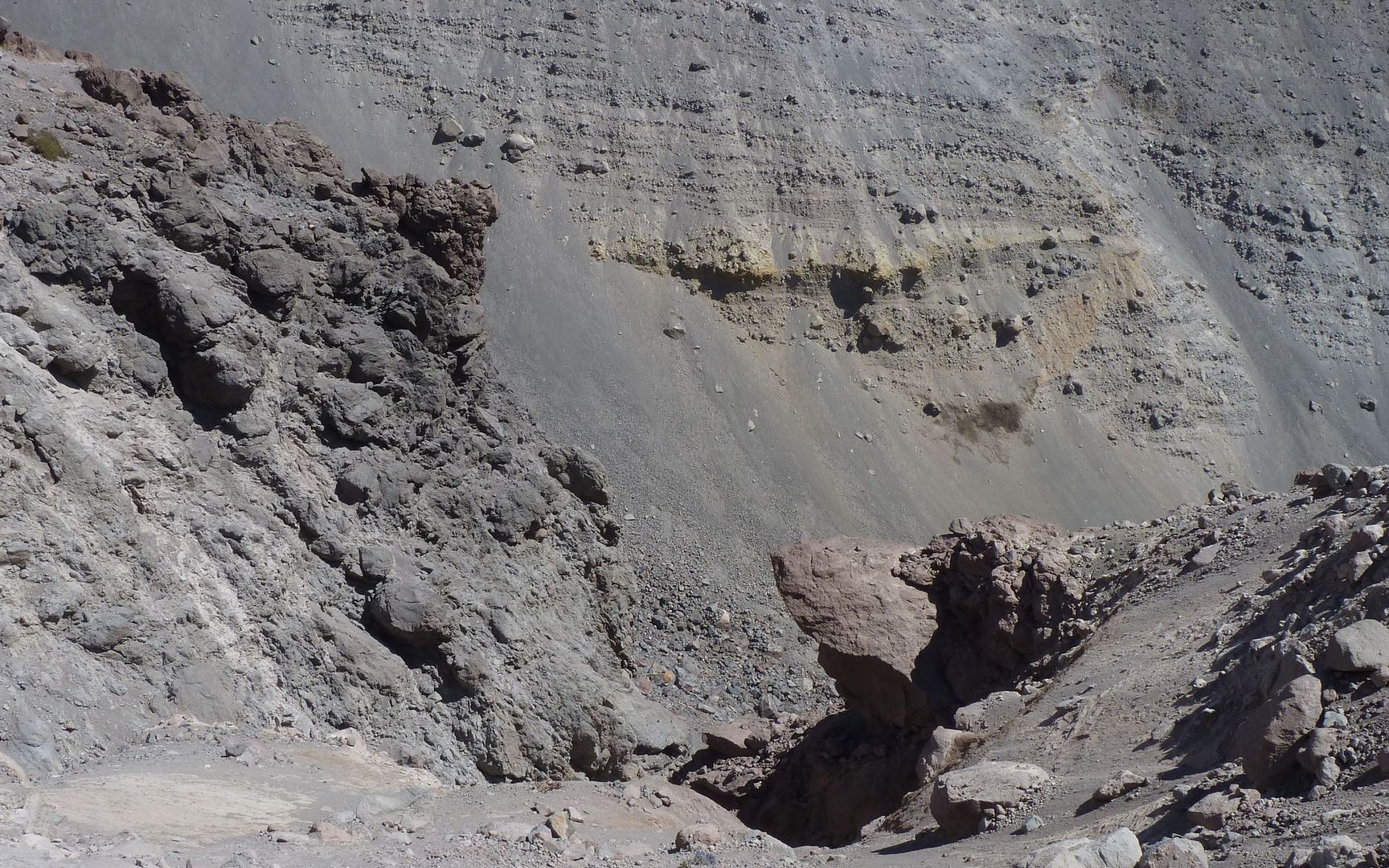
Nearby was what truly appears to be a ski jump:
No one would really build this to sleep there, right?
The last bit of ground one would see, going over this jump
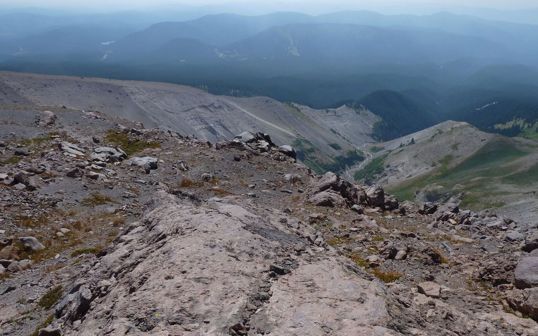
Took another photo of East Zigzag Mountain and Burnt Lake. Or thought I did, at any rate. Didn't know for sure, until I downloaded and <cough> enhanced the shot a bit.
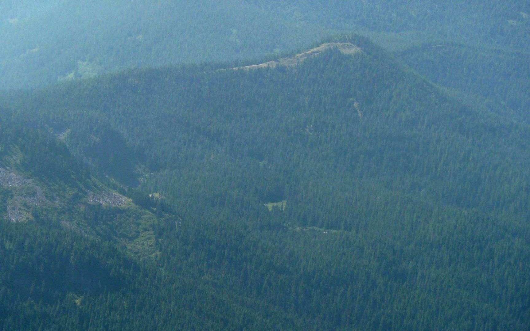
Highly enhanced
Unenhanced view directly south
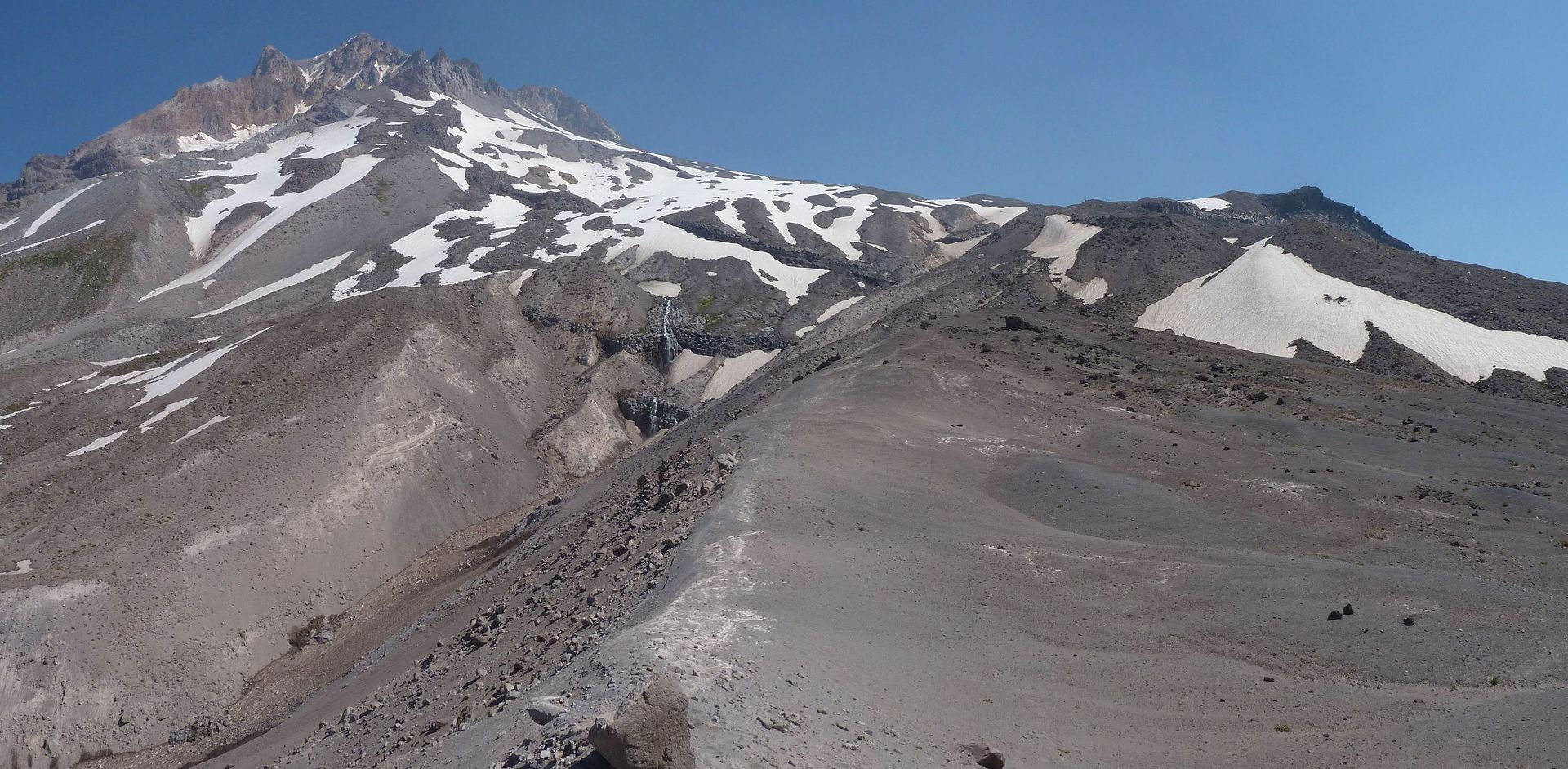
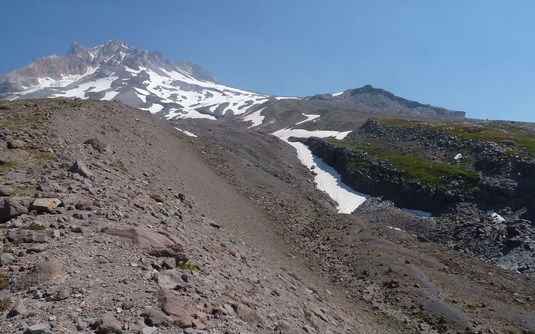
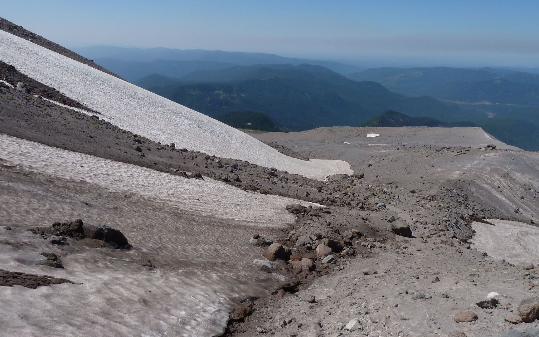
Well, I ate my PB&J, a pretty good apple, and a few more handfuls of trailmix, and decided I was ready to get outta here. Problem is, the exit strategy involved climbing almost another 1000' on that crumbly stuff and/or snow and ice.
Just follow this snowfield up and to the right, then across up by that big gray hump?
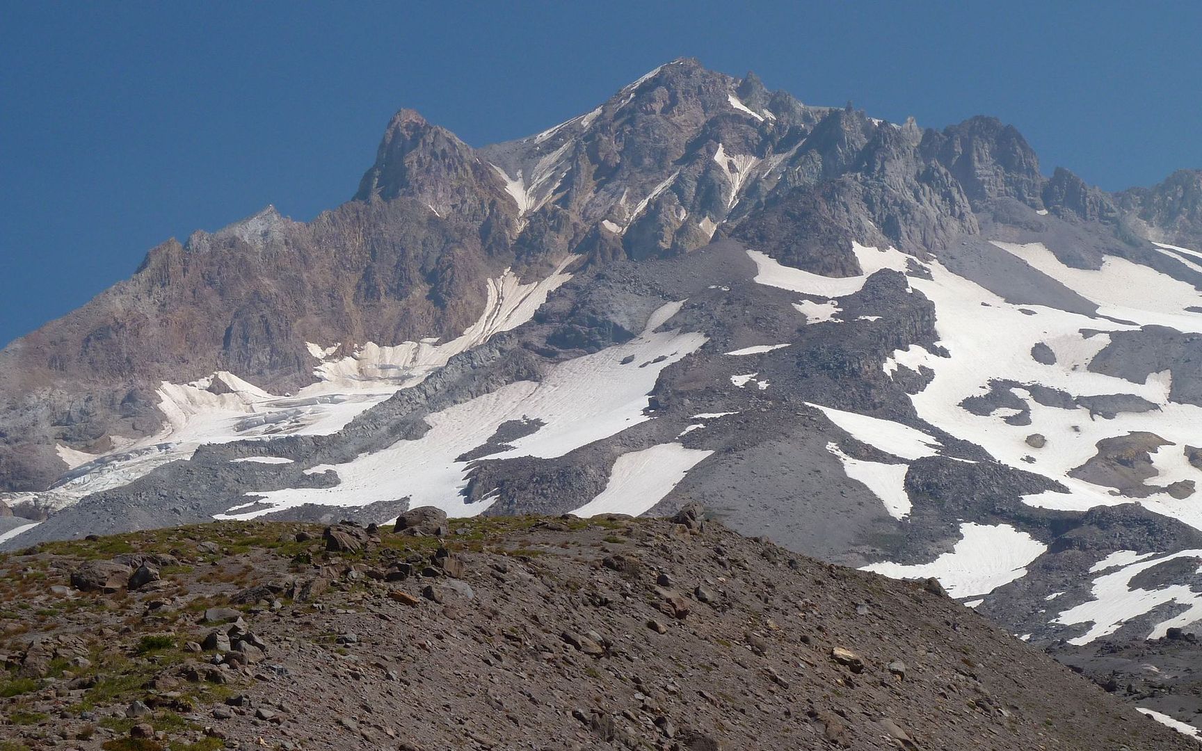
The summit area was spectacular in the smoke-tinged air!
Illumination Rock
Summit and Crater Rock
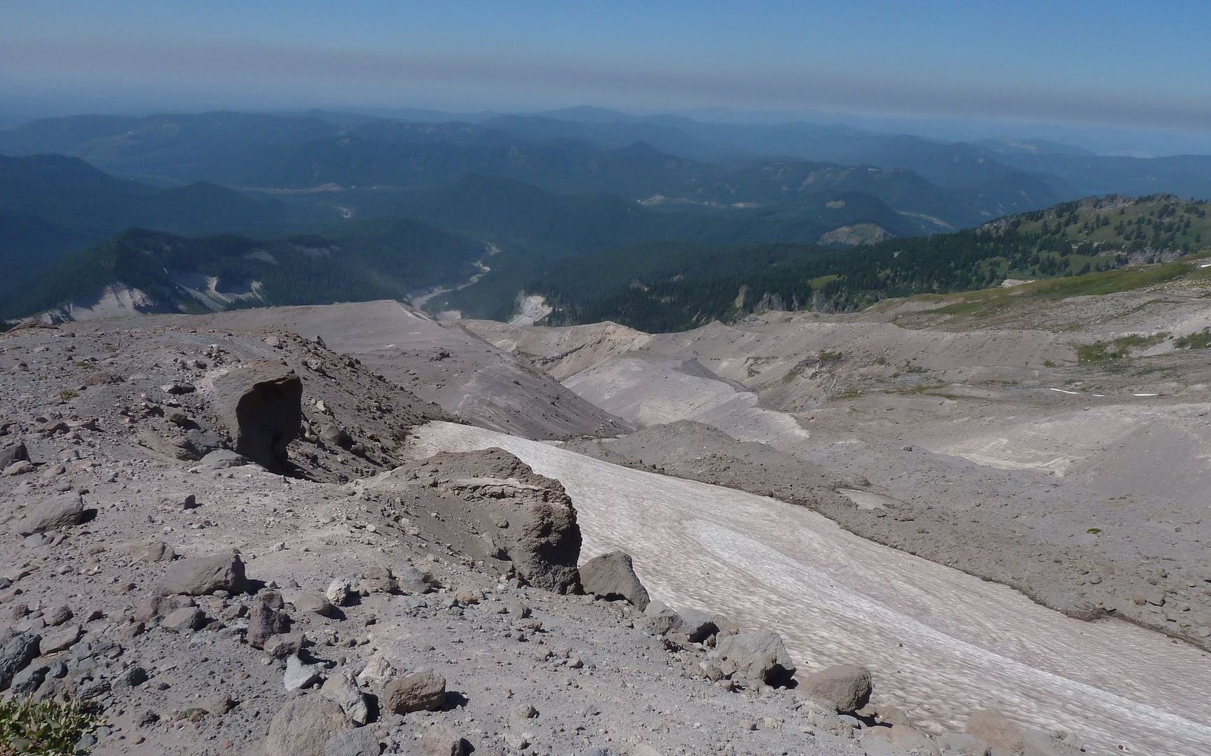
Finally hit 8000' and took a right, heading over towards the top end of the Timberline ski area. Looking back, I see a cornice I was very wise to not wander into the fall-line for!
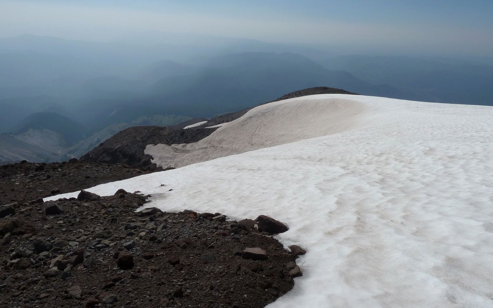
That one coulda been ugly
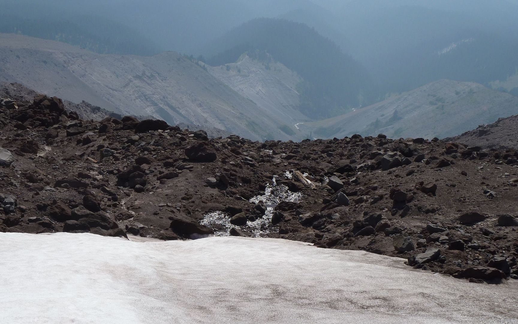
Source of the Zigzag River?
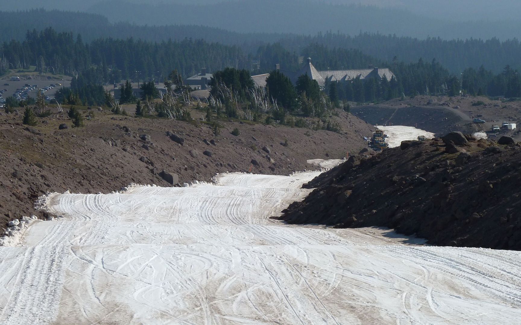
The homestretch is now in sight!
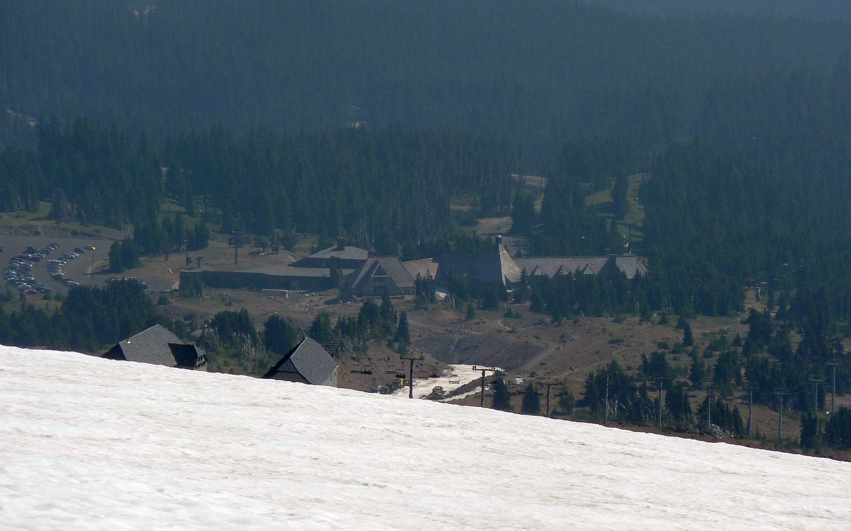
Moments later, the lodge appears as well
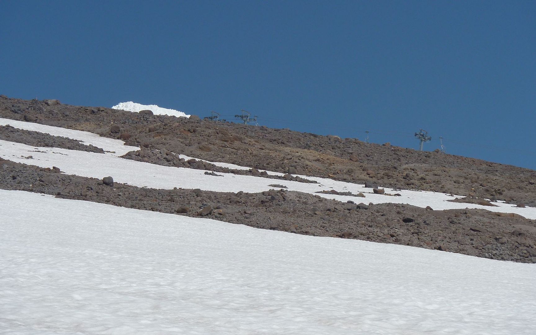
Didn't make it quite to the top of the Palmer, but close
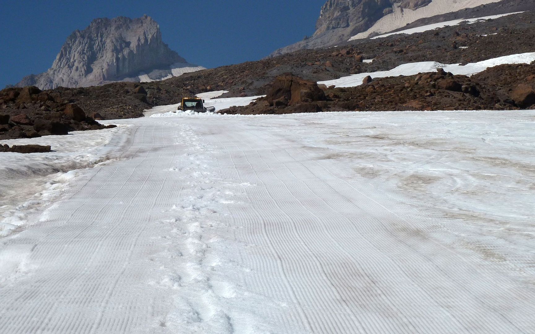
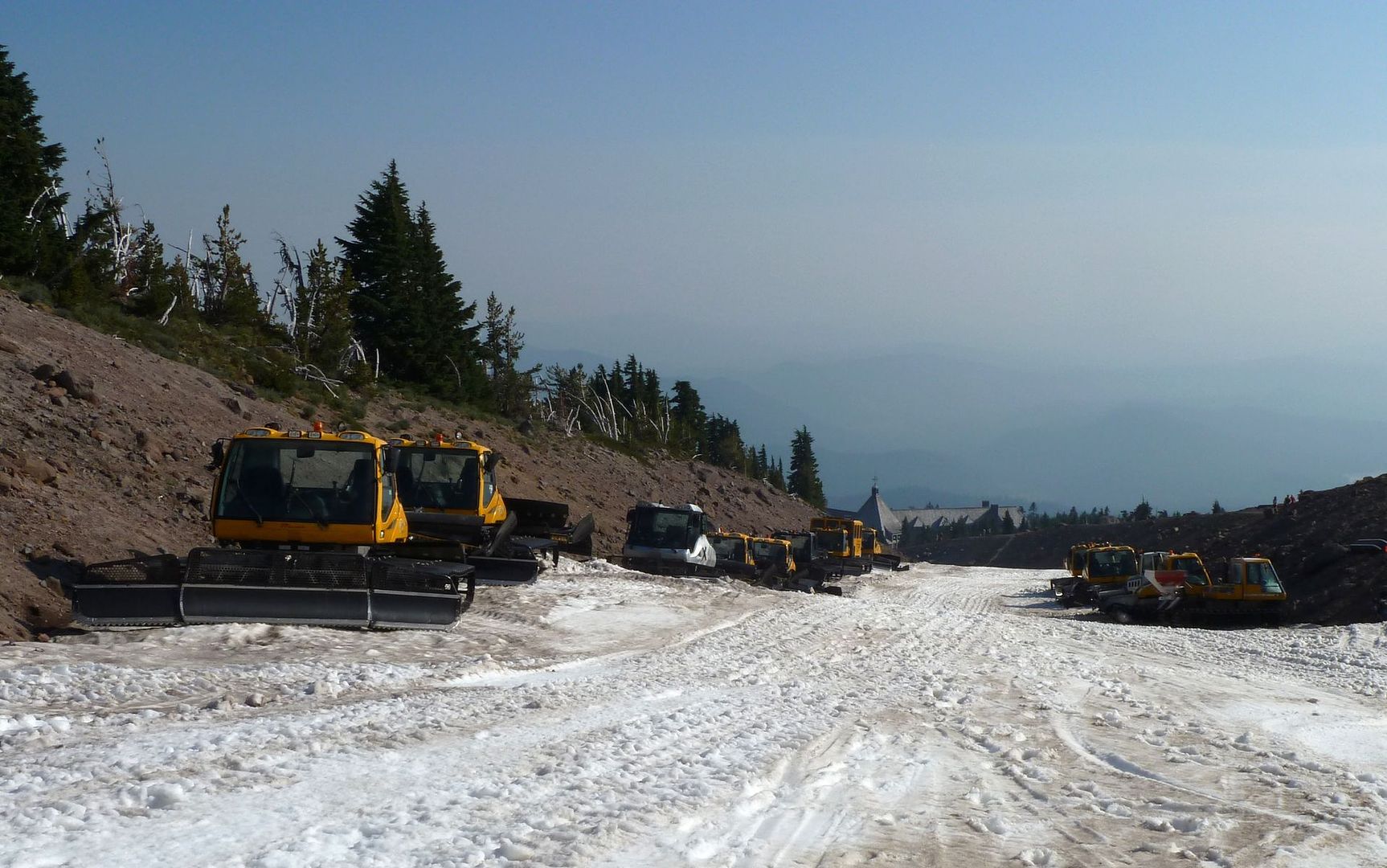
The lifts were closed, and I had my own private army of snowcats grooming a path for me!
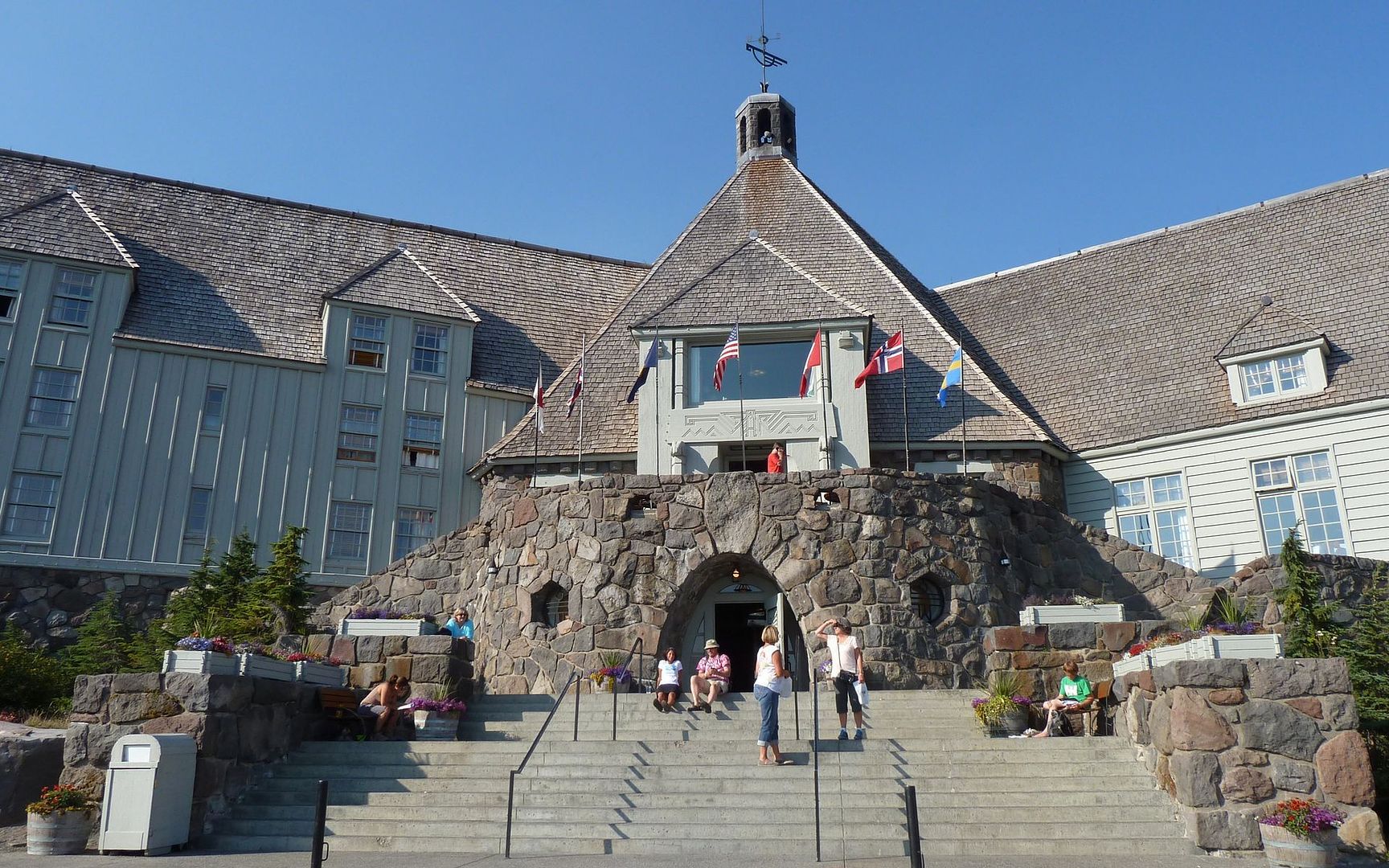
I'm so glad this isn't an open air restroom anymore!
Probably averaged 5mph, or better, down the ski runs.
Fini
In the end, wow, what a hike! I wouldn't recommend it to anyone who can't be trusted taking their life into their own hands. But yeah... Wow!
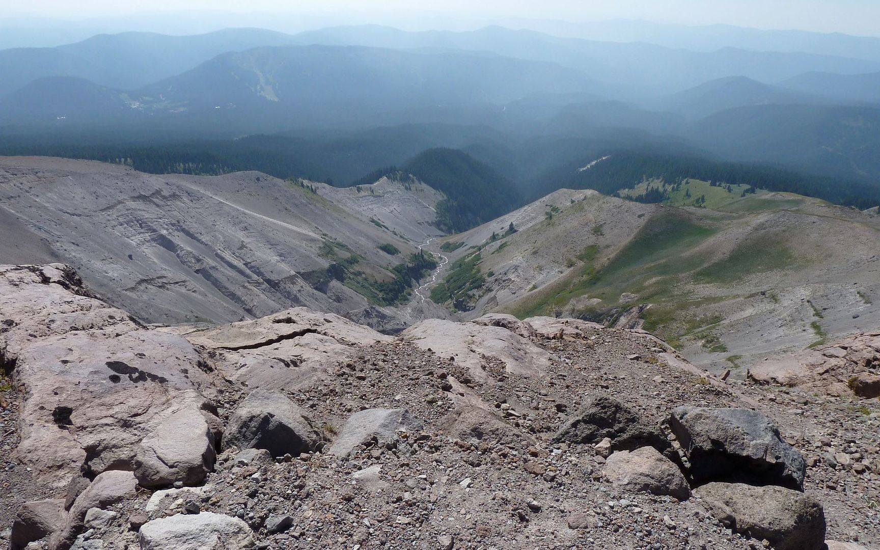
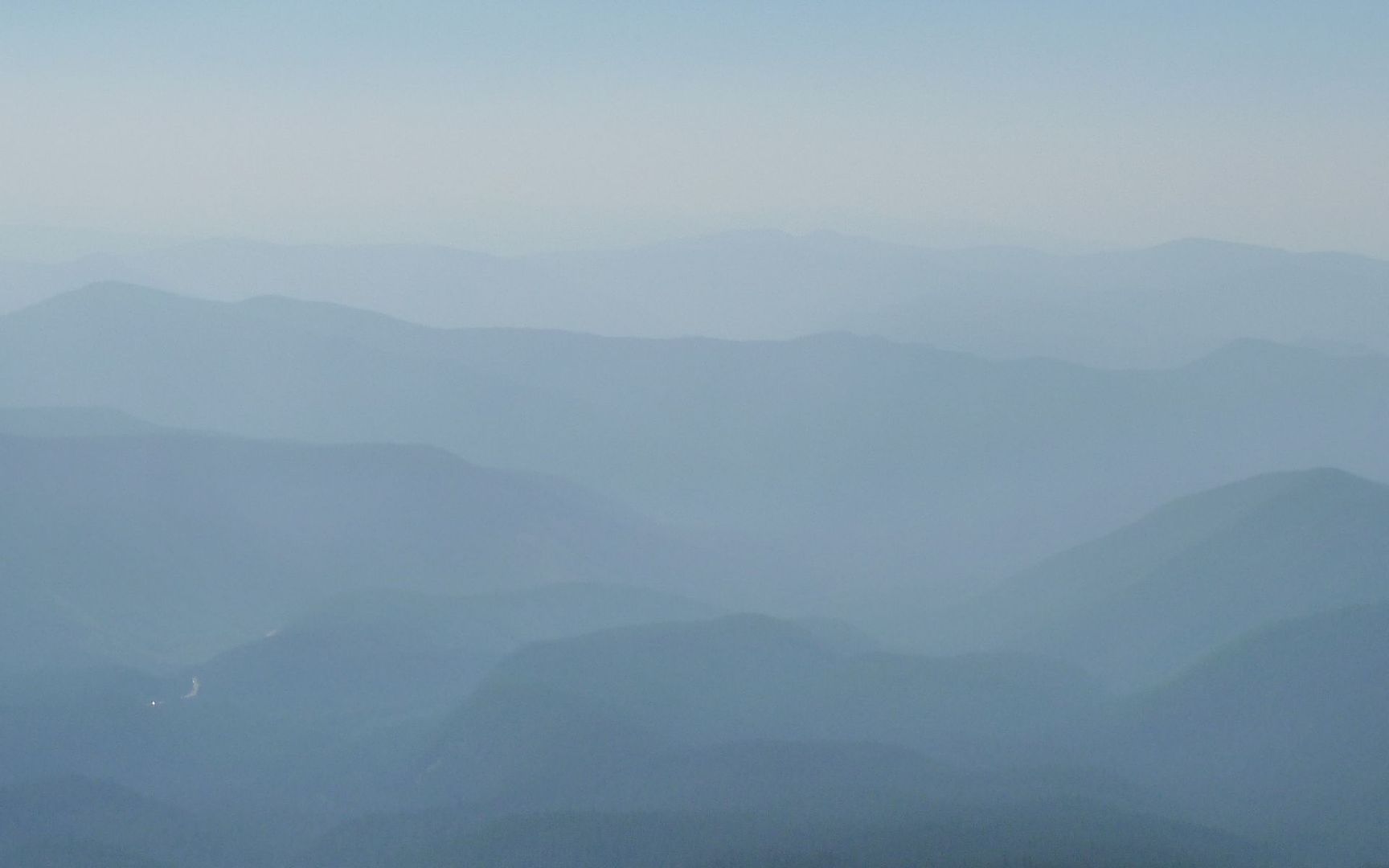
The one thing that stands out, other than the obvious scenery on the mountain I happened to be on, was that the rest of the scenery had been almost entirely wiped out by the forest fire about 50 miles south of here! The smoke just built and built all day long. Here's a few shots in the general direction of Ski Bowl to put it in perspective.
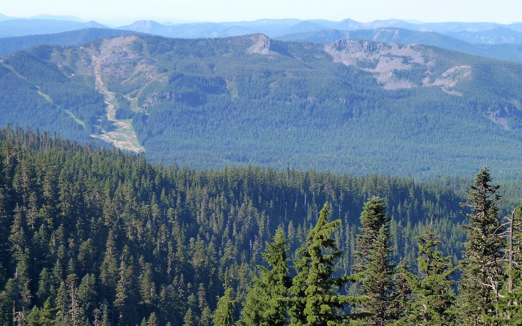
9:56am
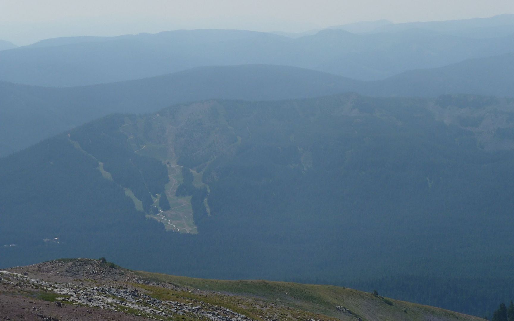
12:49pm
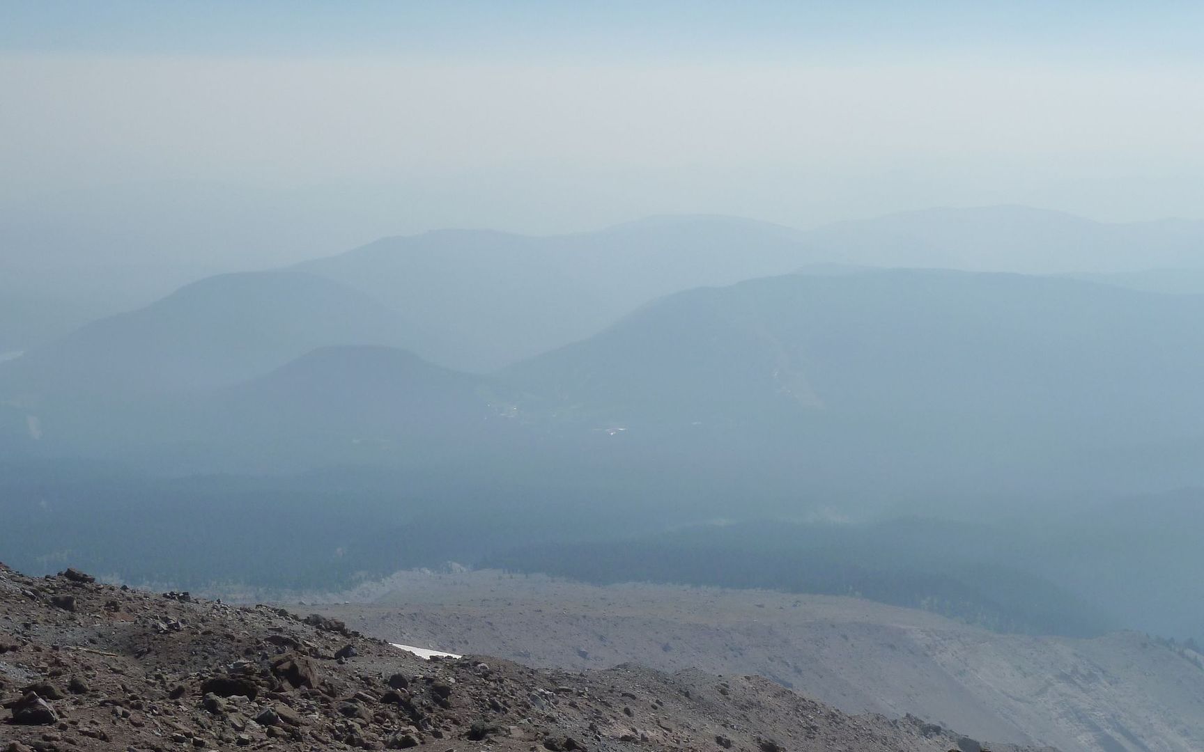
3:41pm
4:55pm
Final stats, according to gpsfly: 12.1 miles, 4600' EG, 8073' max elevation, 7:30 moving time.
http://gpsfly.org/gps_map.php?gps_id=1814&w=645&h=440
Thanks for listening...