Here's a link to a kmz file of the GPX track if you want to play with my track log in Google Earth. If this opens in GE there should be a little slider that allows you to go back and forth along the 2 tracks and gives time, location, and other info.
Sugarloaf Mth is located immediately to the north of Lolo Pass Rd and the Sandy River in the Mount Hood National Forest. There is considerable private ground in the area so care needs to be taken to avoid tromping on spaces that would potentially irritate the local property owners. To avoid any confrontations, I parked in a wide spot on Lolo Pass Rd just east of the last bit of private ground and did the entire hike inside MHNF ground. Unfortunately, the original trailhead for the #768 is on private ground so I missed doing the entire route as originally laid out.
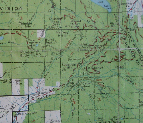
The #768 appears as a lesser standard trail on the 1938 MHNF map and is shown on the 1946 and 1963 maps; the trail is gone in the 1966 map. Here's a snippet from the 1963 map with the white parts where the western trailhead is located marking private ground. Still the case today.
The original trail continued east on past Sugarloaf Mtn into areas off limits due to Bull Run watershed restrictions.
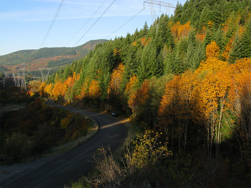
I got to the jump off spot as the sun made it's appearance, lots of fall colors along Lolo Pass Rd.
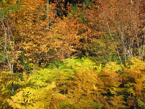
Past the powerlines bracken was turning color.
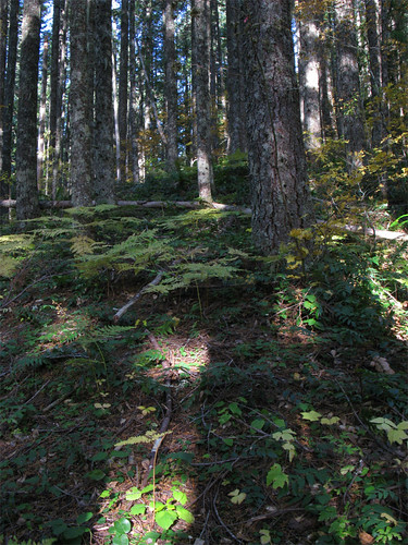
Once in the forest, the bushwhack up the hill was in dense forest with little undergrowth. Pretty much that way the whole day.
Reached an open slope just before the final push to the summit. The picture is not that interesting but if you look in the trees above the open slope you'll see a cliffy rock outcropping. This outcropping is just a glimpse of what plagued me all day, there is a line of cliffs along the 3200-3600' contours running pretty much along the entire side of the hill. The way from this open talus slope to the easier slope above required much searching for a way through these cliffs with slopes approaching 50% and lots of on-all-fours scrambling and spots where a fall would have caused serious injury or death, I do not recommend going up this way.

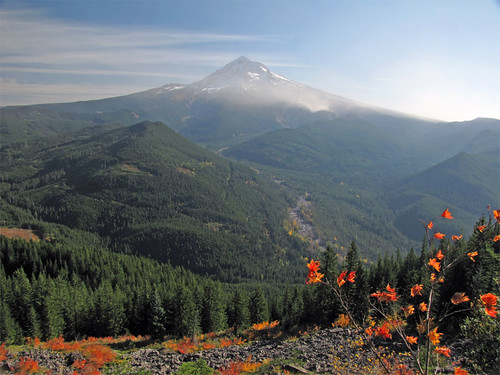
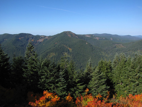
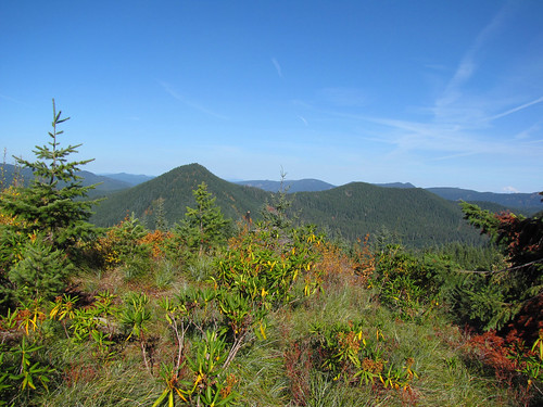
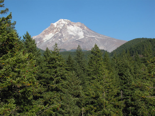
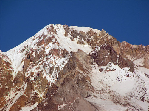
Once on the top of the ridgeline and just before the summit, I made the open slope with big views up the Sandy River and Mount Hood. The wind was blowing hard and kicking up a lot of dust on Mount Hood. I had to add a layer 'cause it was pretty cold for me.
Looking east on Lolo Pass Rd:
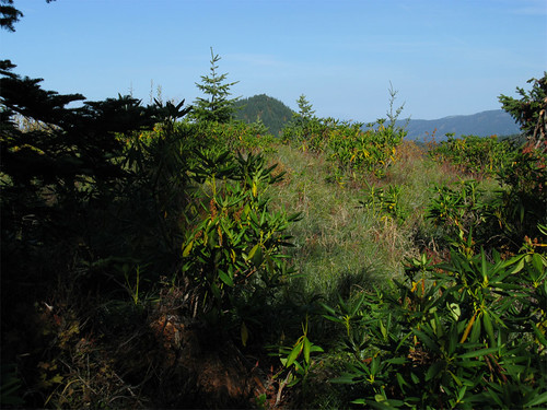
I pushed on to the summit as one goal was to see if Hickman Butte was visible, no problem there. Here's what I first saw as I made the summit - nice open beargrass meadow and small bushes. Burnt Peak sticking up in the center.
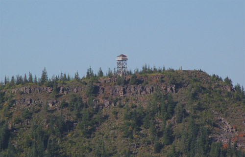
Once on top there's lots of places to look at like Hickman Butte.
Here's a 20x zoom of the lookout. Its shuttered - would that ever be a fun place to visit.
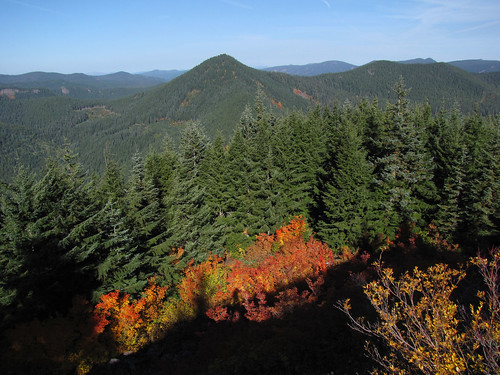
Here's Burnt Peak.
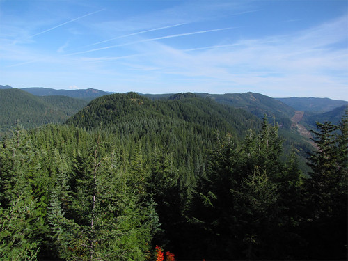
Looking northeast up the ridge line into the Bull Run DMZ.
Another look at the summit to Burnt Peak - Adams is visible on the right horizon.
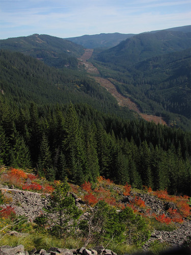
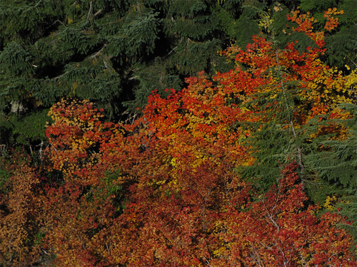
Below the summit was a lot of color from vine maple.
I headed down the ridge to see if there was anything left of the trail and ran into what looked like a thinning operation - must have been helicopter logging as there are no roads on top. Really strange as there appeared to be perfectly good logs that had been de-branched and ready for transport but were left laying around.
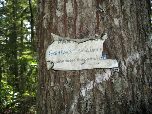
Lots of signs marking the sale. Note: this cut is just off the summit. 10-20 years ago?
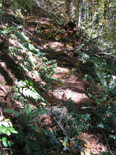
I followed the ridge hoping to bypass the line of cliffs below but every time I probed the downward side of the ridge I got cliffed out. Here on the ridge I started seeing remnants of the trail - in places flagged with bits of pink ribbon. My guess is the FS timber cruiser(s) used this trail to reach the sale area to define and mark the sale boundaries. The trail, when present, was useful for by passing a couple of rock outcroppings blocking the ridge route. There's a clear and wide trail bench.
The old trail helped out when I hit a really steep part of the ridge - right at the elevation of the cliffs that had been keeping me from descending. A couple of switchbacks got me below the cliff line and I was able to start the long side hill trek back to Lolo Pass Rd. I wonder what kind of shape the trail is in down to Aschoff Rd.
So there are bits of trail remaining. In looking at the 1938 map I may have missed parts towards the summit, I was likely too far south but then the partial cut would have been hard on the trail so maybe there is nothing there close to the summit.
About 6 miles 2600' - just to be clear - the route goes counterclockwise from Lolo Pass Rd, going straight up the hill to the summit, back down the ridge line on the old trail location, then sidehill back to Lolo Pass Rd.
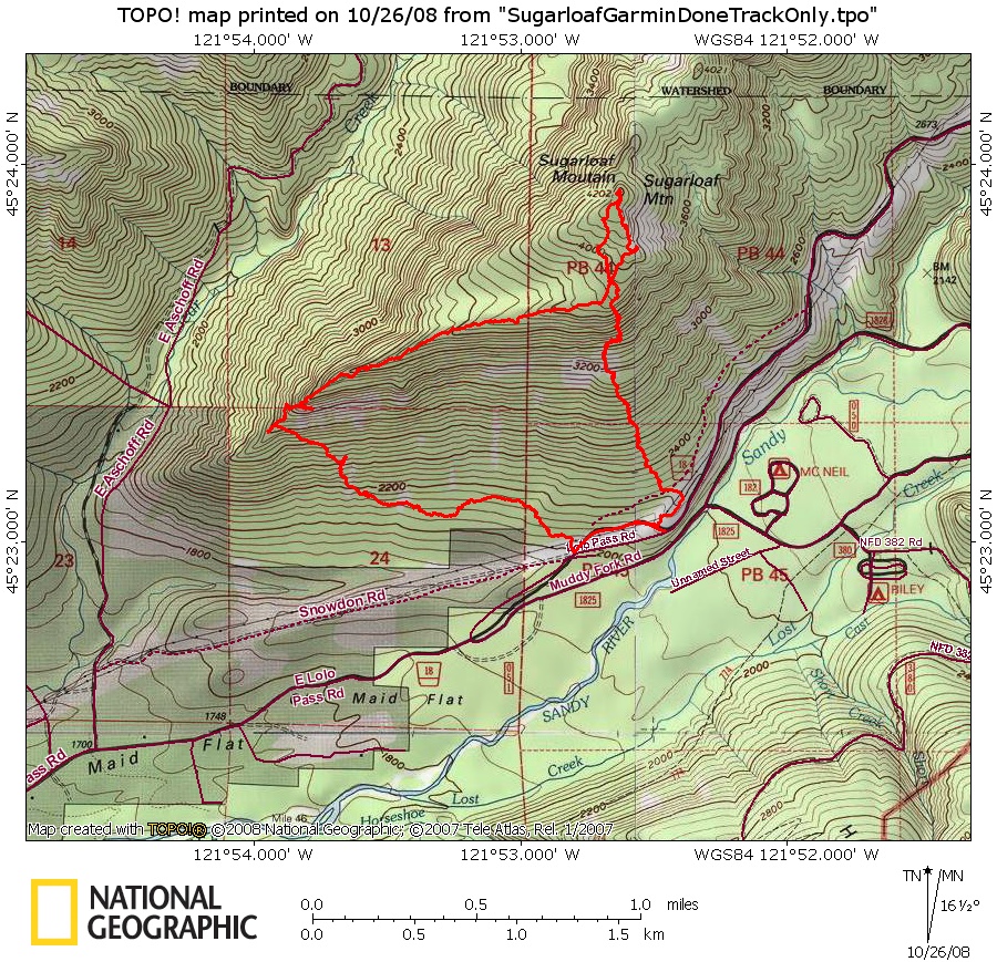
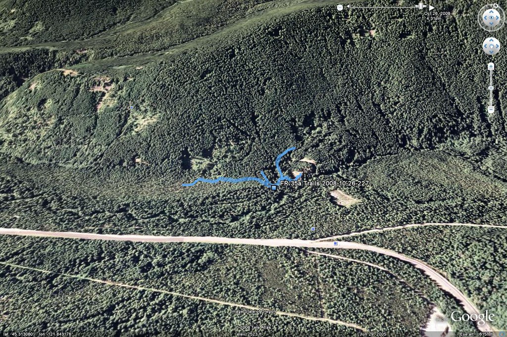
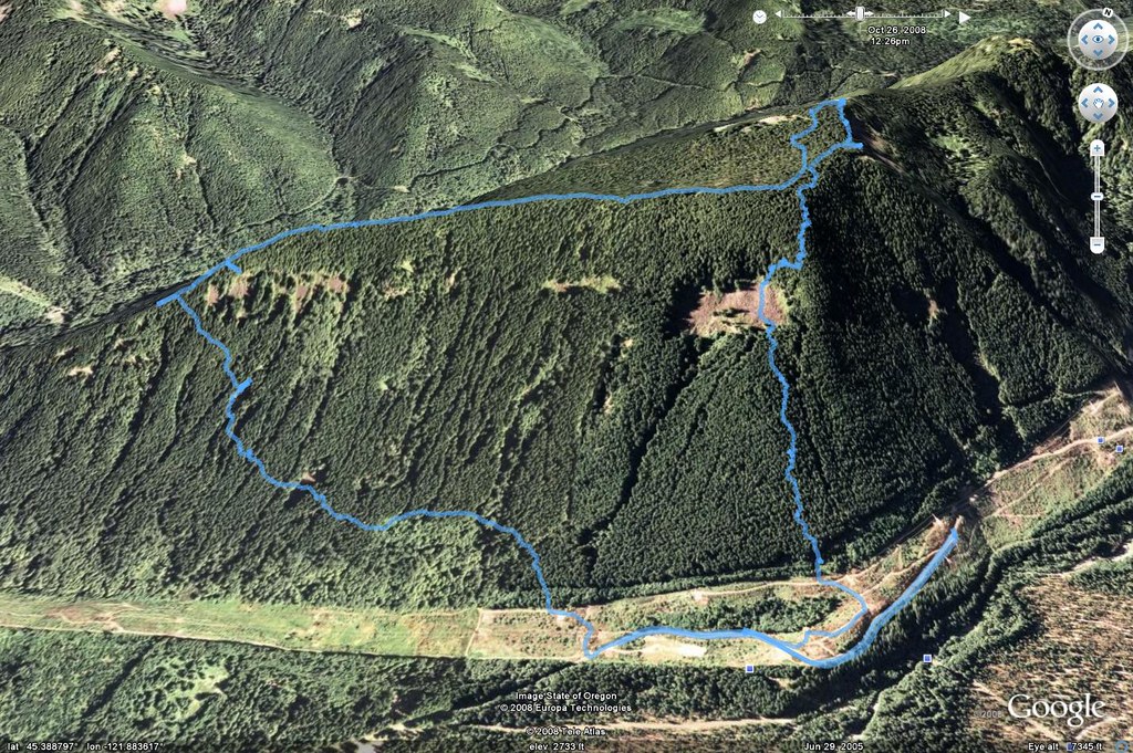
Google Earth snapshot of the GPX log from my 60csx.
Part 2 - Trails at the end of FR 35a
Tom mentioned a number of trails taking off from the end of FR35a and I had a leftover from a previous hike where I followed a trail that looked to be headed towards the east end of the 35a road. I did not have time to fully explore these trails but I followed one trail Tom mentioned to a nice viewpoint. Little Rocks trail I think is what Tom called it - I should check but I want to get this report out the door. Here's a couple of shots of Hood from the viewpoint.
20x zoom of the top:
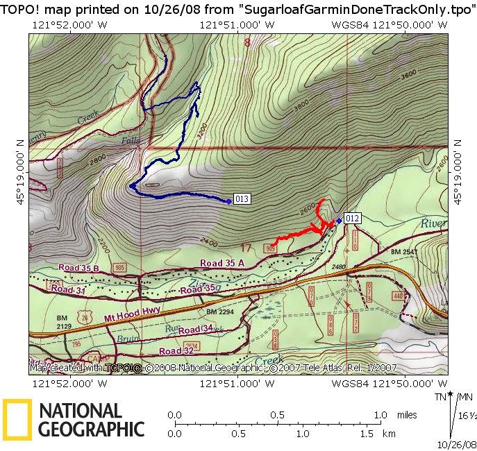
I followed 3 definite trails and one maybe trail taking off from the end of 35a. One seems to parallel the 35a Rd on the north. Another takes off up the hill - is this the Big Rocks trail? The Little Rocks trail as discussed above goes east for a short bit to the viewpoint. None seemed to head in the direction of the trail I was looking for - I'll have to catch it next time - only .3 miles away as the crow flies so a short bushwhack would get me back there and I can follow from there. This trail, if I can find it, would give access to Zigzag Mtn trails from a low elevation trailhead without going on the Enola Hill Rd.
Here's the TOPO version of the tracks I followed. The blue line is the trail I followed form the upper trailheads a while back, the red is what I did today. The viewpoint discussed above is furthest east, not very far from the 35a trailhead.
Here's the GE version of the GPX track.