Return to "the other" Shellrock Mountain

Discussions and Trip Reports for off-trail adventures and rediscovering lost trails
Post Reply
User avatar
Splintercat
Posts: 8334
Joined: May 28th, 2008, 10:03 pm
Location: Portland
Contact:

Return to "the other" Shellrock Mountain

Post by Splintercat » July 27th, 2014, 7:31 pm

I posted a series of reports a couple of years ago from "the other" Shellrock Mountain (located near Mill Creek Buttes along Surveyors Ridge), including lots of explorations of the Badlands Basin, a cool ash-tuff formation that forms the headwaters of Cat Creek, adjacent to the north flank of Shellrock Mountain. Went back up there last week with friends Chris and Tony to explore a bit more -- and get some better views of Mount Hood, as my last trip to the summit was during some heavy forest fires that had most of the Cascades in thick, yellow soup.

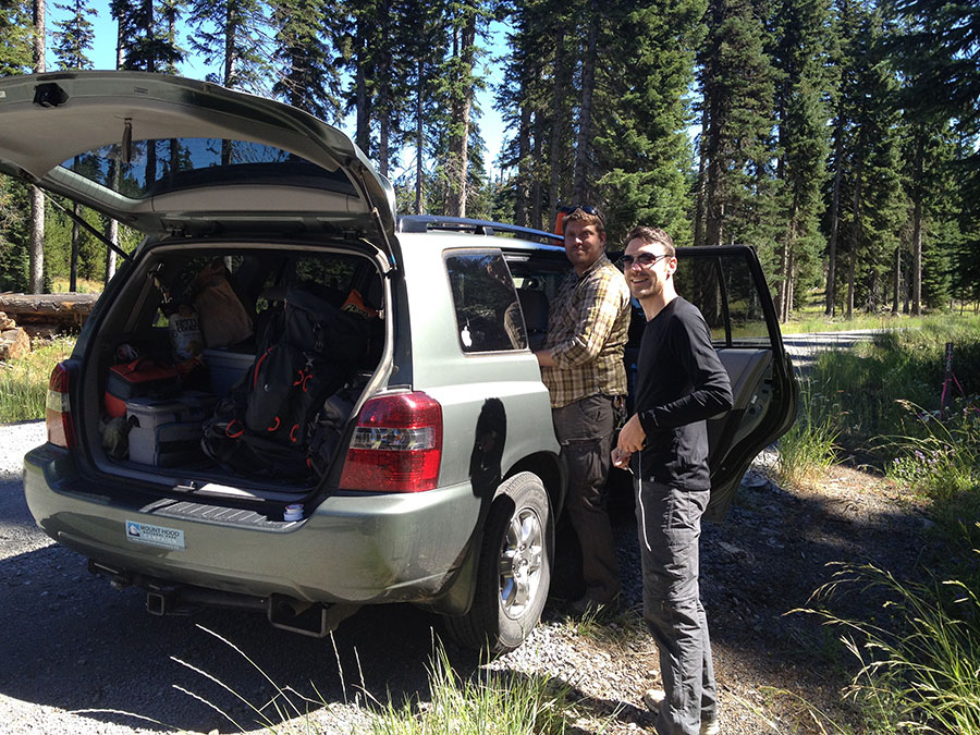
The skies last week were brilliant and clear, save for cloud caps on the big peaks. We parked north of Shellrock Mountain and hiked the Surveyors Ridge trail to our jump-off point -- Chris and Tony at our departure point:

Image

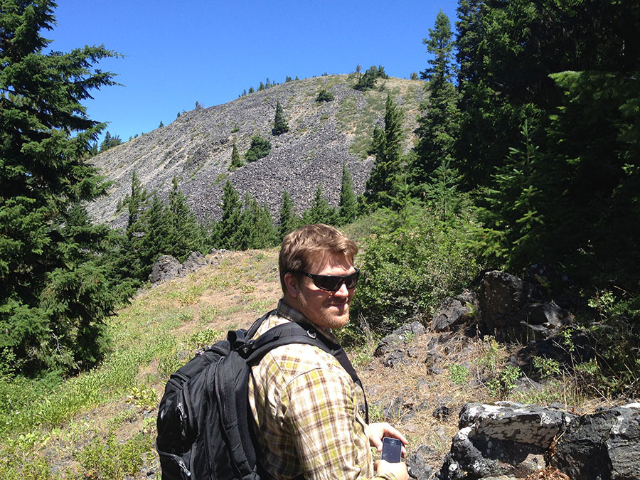
There's an obscure sign pointing to "Shellrock Mountain" along the Surveyors Ridge trail, and a short spur trail that leads to this view of the south slope of the mountain -- looks a lot tougher than it really is:

Image

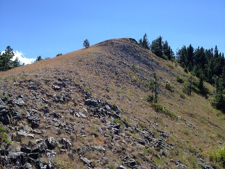
There are several game trails traversing the northeast slope of the mountain, so after bushwhacking straight uphill for a short section through forest, we zigzagged along game trails as the views opened in all directions. Here's the summit ridge from the uppermost game trail -- just a straight climb from here:

Image

Looking north from where the previous photo was taken, on the shoulder of Shellrock Mountain, there are outstanding views into Badlands Basin -- including a few hoodoos in the nearest headwater ravine:

Image

Image

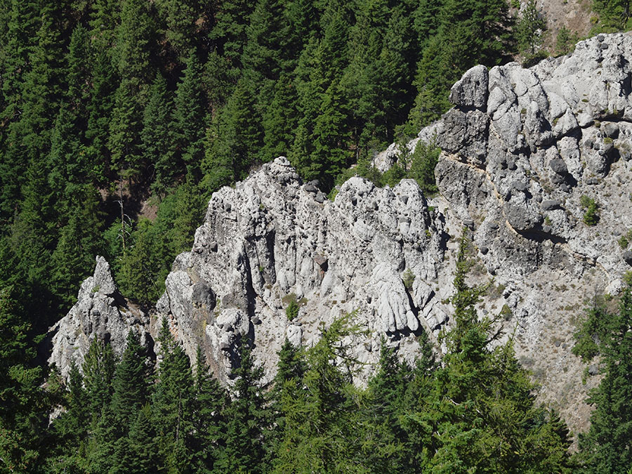
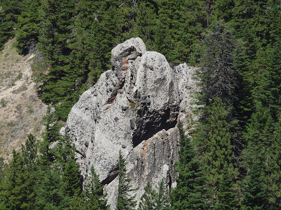
We watched several turkey vultures soaring below us, and spotted a couple of them nesting in the horizontal cave in the second hoodoo -- in fact, there's a turkey vulture sitting at the edge of the cliff, though only to my eye -- just a dot in the above photo... :lol:

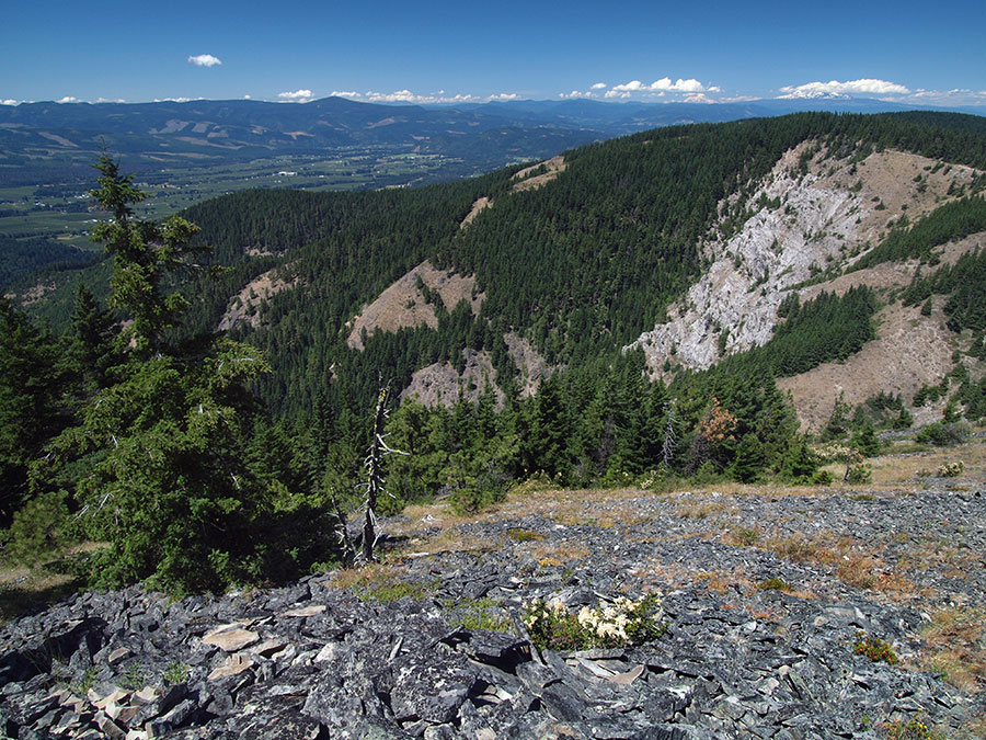
Here's a wide view of Badlands Basin from a bit further up on the mountain -- cloud caps mark the big Washington volcanoes and the upper Hood River Valley is in the background:

Image

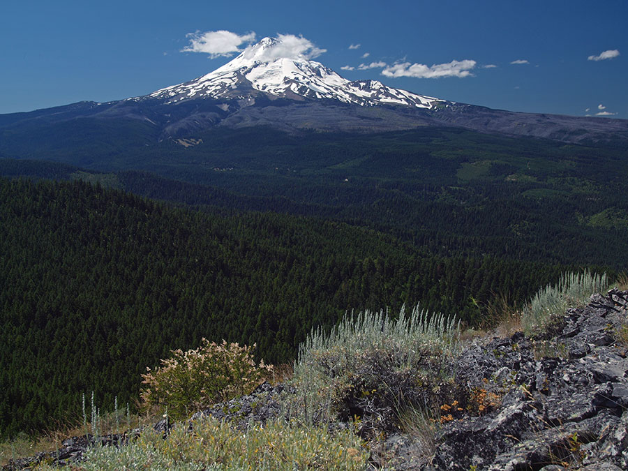
Spent some quality time on the summit -- absolutely beautiful, with lots of butterflies drifting up the slopes. Mount Hood fills the southwest horizon:

Image

I think I researched this once before, and figured out that a tent was the extent of a USFS lookout on this mountain, I suppose because of the proximity of Mill Creek Buttes, just a couple miles to the southeast. Nonetheless, it's a neat spot for a modest amount of off-trail climbing. I'd like to see a trail up there someday, given how close existing trails already come -- but that's a different topic..! ;)

Tom :)

User avatar
EMTStolz
Posts: 50
Joined: July 3rd, 2011, 11:52 pm
Location: Hood River

Re: Return to "the other" Shellrock Mountain

Post by EMTStolz » July 27th, 2014, 9:03 pm

Great pics! I took a trip up there earlier this spring. From the short jaunt up to the top and back to the car I managed to pick up 6 ticks along the way. The view from the top was worth it though.

User avatar
Splintercat
Posts: 8334
Joined: May 28th, 2008, 10:03 pm
Location: Portland
Contact:

Re: Return to "the other" Shellrock Mountain

Post by Splintercat » July 28th, 2014, 6:40 am

From the short jaunt up to the top and back to the car I managed to pick up 6 ticks along the way.
Wow! :o :shock: Well, I'll have to extend my mental map of tick country..! I generally don't bother with tick checks when I'm south of Bald Butte and/or above about 3,000 feet. But I thought about it, given that we were following deer/elk trails through brush. Thanks for the heads-up!

Tom

User avatar
woodswalker
Posts: 835
Joined: November 25th, 2012, 4:51 pm

Re: Return to "the other" Shellrock Mountain

Post by woodswalker » August 10th, 2014, 8:00 am

Thanks for posting this. The other Shellrock was a major landmark to the north and east when I worked at flag point fire tower. I always wondered about it and if it was accessible. Really nice to see some pictures from up there.
Woodswalker

Post Reply