Hike Info:
Trailhead: Unofficial trailhead, Greenleaf Slough, lat - 45.64957 / long � 121.96505
Total Miles: 23
Elevation Gain: 6400'
Difficulty: Very Hard
Family Friendly: No
All Season: No
I have been curious about a longer loop incorporating Table Mountain and Three Corner Rock for a while now. After getting some ideas about off trail hikes along ridges beyond Table Mountain, the itinerary was set in my mind. All I had to do was wait for the stars to align for a free day and an enthusiastic hiking parter. Saturday was that day, and my co-worker Dan was my compatriot.
Our general plan was to follow logging roads from the Greenleaf Slough to the Pacific Crest Trail, then up and over Table Mountain to an unnamed ridge beyond, offering unique Gorge vistas and good off trail hiking. We planned to walk the length of the ridge, leading us back to the PCT. We also planned to hike off trail up the next ridge, Birkenfeld Ridge for more vistas. Back on the PCT, we would continue to Three Corner Rock at the head of Hamilton Creek valley. Our return trip would be via the PCT, giving us new perspectives on the high points hit earlier in the day, and an easier route home. If we were up for a final jolt, we would ascend Aldrich Butte to watch the sun set in the Gorge on the way back.
Our day started early, arriving at the gated road at around 6:45 AM. The weather was cloudy and humid with minimal winds, but starting to clear east of Mt. Defiance. Not exactly inspiring weather for a view hike, but it had been improving steadily considering we left Beaverton in a light drizzle. We followed powerline and logging roads up past Carpenters Lake, skirting the eastern flank of Aldrich Butte. At the top of Aldrich's north ridge, a flagged path crossed the road, leading up towards the butte. I surmise that this is a connector from the PCT to the Aldrich Butte logging road. Anyone know for sure?
As we followed Cedar Creek, it occured to me that it should be called Alder Creek, as there were very few decent sized cedars left after being logged at least once in the 20th century. We encountered the PCT after climbing about 1300' in 2.3 miles. Another mile or so on the PCT, and we were at the Table Mountain Westway trail junction, where the real fun began.
From this point, the Westway Trail gains 1475' in one mile to the summit plateau of Table Mountain. The trail starts in the trees at a mellow grade, then turns on it's end with short, tight and steep switchbacks leading you to the rocky and meadow filled southwestern flanks.
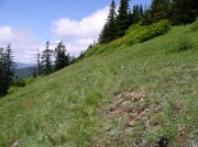
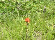
Once in the open, the views range from Devils Rest to the Eagle Creek valley in Oregon, while Hamilton Mountain and the large Hamilton Creek valley stretch out before you. Indian Point can be seen to the east, but most easterly views are blocked until farther up the mountain. The open areas on the mountain were filled with a huge variety of wildflowers. It seemed they all decided to bloom just in time for our hike.
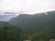 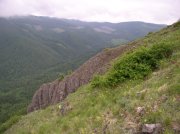 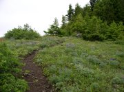
Once at the top, it's an easy traverse along the ridge to the big southern cliff. It was amazing to be a few feet from the edge of an 800' sheer drop looking down the heart of the Eagle Creek valley. Bonneville Dam's spillways were wide open, and the powerful eddies and currents the wash created were obvious even from our lofty perch. From this vantage point, we could see from east of Hood River to the western mouth of the Gorge. We were towering over Hamilton Mountain to our west and Greenleaf Peak to our east.
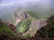 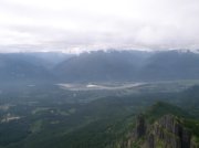
We spied a pair of hikers working their way up the mountain far below, so we made a beline for the North Ridge trail to escape and maintain our hard earned solitude. The trail leading off the north side of Table is steep at first, roughly a 45% grade for the first few hundred feet. After levelling to a more moderate grade, the trail gets a bit brushy but is easy to follow. The trail dives in and out of a hanging wildflower meadow as it crosses back and forth on the ridge crest. Along this ridge, views extend east and west, with particularly good views of Greenleaf and the eastern Gorge. The trail eventually joins an old logging road, which leads you to some BPA power lines.
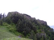 
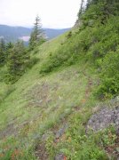 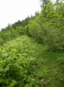
At this point, we headed straight for Point 3553, our next destination. We followed an old jeep track at first, then faint use trails until we crossed the PCT. We continued up, through some slide alder and stumbled on what may be a Native American vision quest site in a talus field. After a short bit of exploration, we continued up through the talus, then alder, and more talus to a rocky ridge outcropping that we skirted to avoid some particularly thick alder.
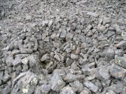 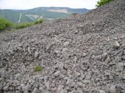
Once on top of this outcropping, we were in a massive ridgetop wildflower meadow with incredible views of Table, Greenleaf, and the Columbia. At this point, the sun was coming out and the skies were clearing. It was a pretty awesome place to have all to ourselves. After a short rest, we continued to explore the ridge. To the west were steep hanging meadows interspersed with cliffs. To the east were dense thickets of alder mixed with smaller firs. We followed a faint game trail along the ridge for a while, but it eventually dropped into a steep meadow with no obvious exit on the far end. We elected to do battle with alder once again, and descended quickly (relatively) to the PCT.
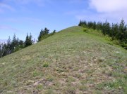 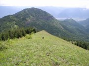 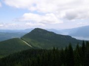 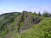
Once Birkenfeld Ridge came into view, it was obvious that schwacking to the top would be a slow process. The treeless southern and eastern flanks were covered in more alder than time would allow us to deal with. Birkenfeld quite possibly has great views towards Defiance and the east, but we scratched it from Saturday's plan. Maybe another time.
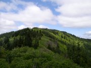
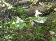
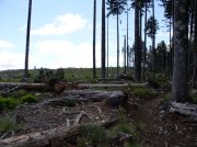
We continued towards Birkenfeld Ridge on the PCT through the best on-trail wildflower meadow on the trip. After that, the remaining trail towards Three Corner Rock was fairly uneventful, save the trillium and star lilies at our feet. We passed into a multi-use land plot with clearcuts that were right next to the trail. Beargrass was loving it, but the lack of tree cover was unsightly.
Three Corner Rock was a cool destination with a 360 degree panorama. You could see the Oregon rim of the Gorge, Table, Silver Star, Bluff Mountain, and if the clouds were gone you'd see Hood, Adams, St. Helens, and Rainier.
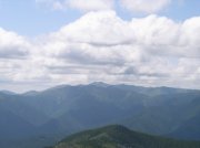 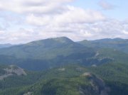 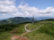
 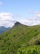
We made a short trip south from Three Corner Rock to the next point over, hoping for better views of the Gorge. There was a cool staggered view of Birkenfeld Ridge, Point 3553 and Table Mountain that looked like they were lined up in a row. While we could see more of the Gorge, fresh clearcuts in the foreground marred the view.
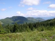  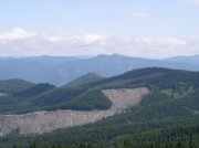
The trip back to the trailhead followed the PCT the whole way. We put ourselves in cruise control, and enjoyed the different views on the high points we climbed earlier in the day. We voted against the final push to Aldrich Butte on the way out in favor of pizza and beer.
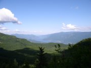 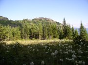 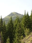
With that as our motivation, we made it back to the trailhead in time to head to Walking Man Brewery in Stevenson for a well earned reward. In all, we covered 23 miles and gained 6400' elevation, while only seeing 8 people the entire day. It was a great hike with a tremendous variety in views, plant life and geology. The only thing missing was a waterfall. Next time I'll have to add Greenleaf Falls to the mix. 
Here's our GPS track with route notes and elevation profile for those who care to repeat the journey.
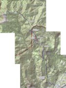 
My friend Dan has much better pictures than I do, so I will add them when I get them online.
Enjoy... |